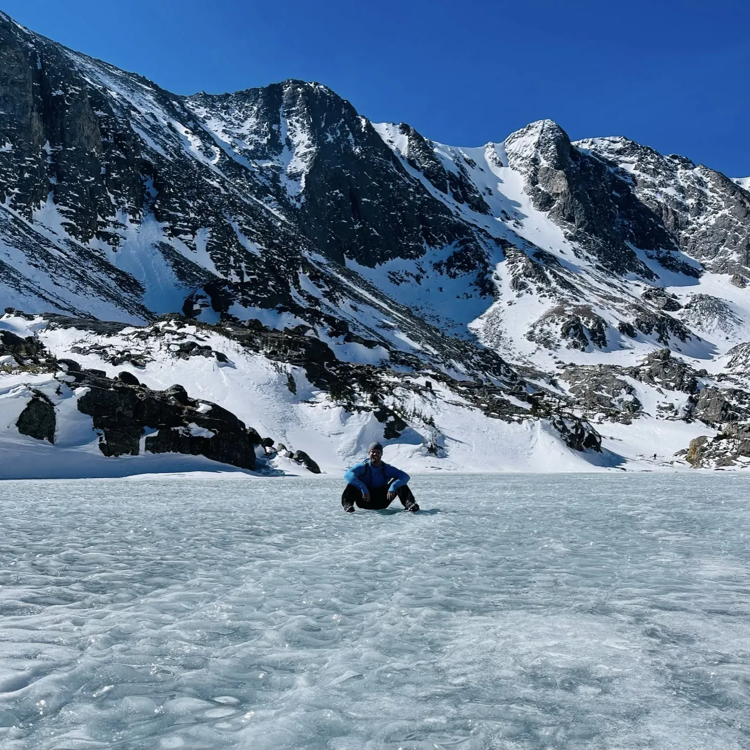
Colorado: Rocky Mountain, Great Sand Dunes, Mesa Verde & Black Canyon
Colorado’s four national parks, from the Front Range to the southwest corner.
Photo: David & Keri New
Today in the parks
- Rocky MountainOpen · 1 closure
- Great Sand DunesOpen · 5 alerts
- Mesa VerdeOpen · 1 alert
- Black Canyon of the GunnisonOpen · 1 closure
NPS alerts as of Nov 20, 2026
At a glance
4 parks, 5 days.
- 1Rocky Mountain2 days
- 2Great Sand Dunes1 day
- 3Mesa Verde1 day
- 4Black Canyon of the Gunnison1 day
Drive figures marked NPS come from the parks’ own pages; the rest are approximate road estimates, so check your route. Route lines and estimates use map data © OpenStreetMap contributors.
The route
Park by park, drive by drive.
-
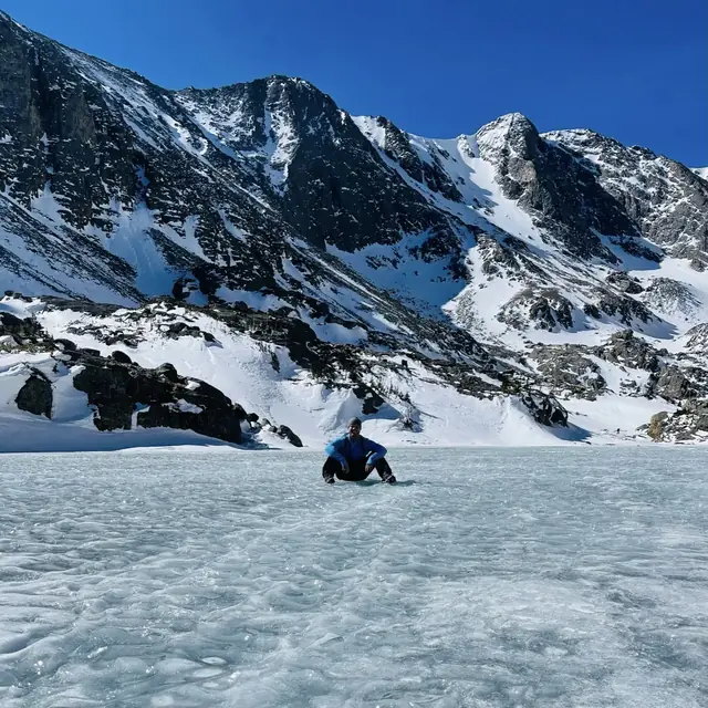
Stop 1 · 2 days Rocky Mountain We visited: Apr 2021 · Jun 2023 SleepMoraine Park, Glacier Basin, Aspenglen and 2 moreBase: Estes Park, the east gateway townCampsites book up to 6 months ahead Park guide Camping Where to stay
- Drive · Rocky Mountain to Great Sand Dunes ≈ 300 mi≈ 5-5.5 hoursApprox. US-36 to Boulder/Denver, US-285 southwest over Kenosha and Poncha passes through Saguache, CO-17 south, County Lane 6 east from Mosca, CO-150 north
-
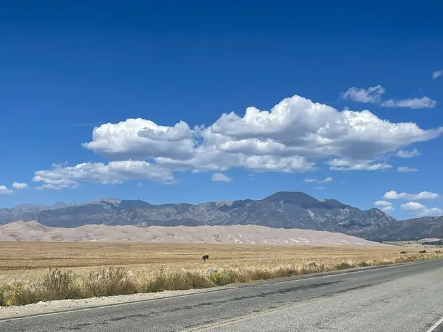
Stop 2 · 1 day Great Sand Dunes We visited: September 2021 SleepPiñon Flats, Medano Pass Primitive Road sitesCampsites book up to 3 months ahead Park guide Camping Where to stay
- Drive · Great Sand Dunes to Mesa Verde 227 miNPS CO-150 south, US-160 west through Alamosa, over Wolf Creek Pass, Pagosa Springs and Durango to the Mesa Verde entrance NPS source
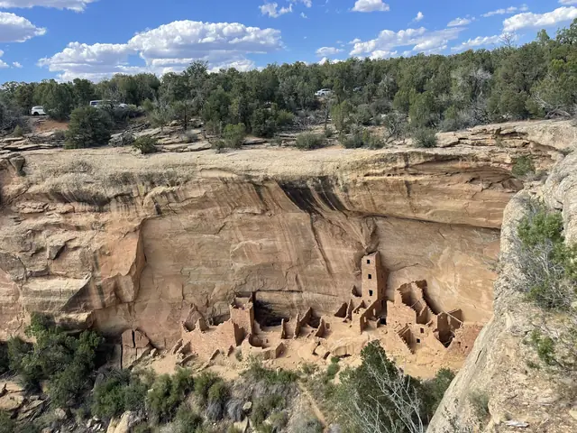
-
- Drive · Mesa Verde to Black Canyon of the Gunnison ≈ 156 mi≈ 3.5 hoursApprox. US-160 east to Durango, US-550 north over Coal Bank, Molas and Red Mountain passes through Silverton, Ouray and Ridgway to Montrose, US-50 east, CO-347 north 7 mi to the South Rim
-
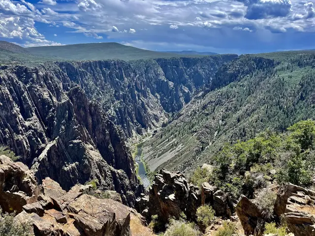
Stop 4 · 1 day Black Canyon of the Gunnison We visited: July 2022 SleepSouth Rim, North Rim, East Portal Park guide Camping Where to stay
When to go
Best in June and September.
Each park’s month scores (5 is best), from our month-by-month research. The trip row lights up when every park scores 4 or higher.
Scores come from NPS weather and seasons pages and NOAA 1991–2020 climate normals. See best parks by month.
When is everything open?
Everything with published dates is normally open May 31 – Oct 15 (set by North Rim Road and Trail Ridge Road (through travel)). A planning window from NPS seasons, not a guarantee.
Open all yearMoraine Park Campground · Mesa Top Loop Road · South Rim Campground
Notes and sources for each item
- Trail Ridge Road (through travel) NPS: ‘closed to through travel from mid-October to late May.’ MM-DD values are a conservative planning approximation of that wording; temporary weather closures can happen any time. Status line 970-586-1222. Bear Lake Road is open year-round. Last verified · nps.gov
- Bear Lake Shuttle NPS 2026 schedule: daily service May 22 to October 18, 6:30 a.m. to 7:30 p.m., every 10-15 minutes. Hiker Shuttle from Estes Park: daily May 22 to September 7, weekends September 12 to October 18, 2026 (ticketed). 2027 schedule not yet published. Last verified · nps.gov
- Timed Entry + Bear Lake Road reservations NPS 2026: required 5 a.m. to 6 p.m. daily, May 22 through October 18, 2026 (standard Timed Entry 9 a.m. to 2 p.m., May 22 to October 12). 2027 dates not yet published. Last verified · nps.gov
- Moraine Park Campground Open in summer and winter. NPS campground data: 2026/2027 winter camping October 19, 2026 to May 25, 2027 (first come, first served in limited loops per park listing); summer is reservation-only on Recreation.gov, up to 6 months ahead. Glacier Basin, Aspenglen and Timber Creek close for winter. Last verified · nps.gov
- Piñon Flats Campground NPS: ‘open April through October each year (closed November through March).’ NPS campground data: closed November 1, 2026 to March 31, 2027. Reservation on Recreation.gov, up to 3 months ahead. Car camping not permitted in the park or preserve in winter. Last verified · nps.gov
- Medano Pass Primitive Road (4WD) NPS: ‘The road fully opens when weather and road conditions allow, typically in mid-to-late May. It remains fully open through the end of the fourth rifle hunting season (near the end of November), as weather conditions allow.’ MM-DD values are a conservative planning approximation (late May / late November). High-clearance 4WD with low range required beyond Point of No Return. Status as of October 23, 2026: open, with swift water up to 3 feet at some crossings. Last verified · nps.gov
- Wetherill Mesa Road NPS: ‘Wetherill Mesa is closed for the season. Anticipated opening is late spring 2027.’ No specific opening or closing date published. Vehicles over 25 ft or 8,000 lbs not permitted; road closed to bicycles. Last verified · nps.gov
- Mesa Top Loop Road NPS winter page: open daily 8:00 a.m. to sunset; may temporarily close during snowstorms. Main park road open 24/7. Last verified · nps.gov
- Morefield Campground NPS campground data: closed for the season November 3, 2026 to April 24, 2027; 2027 off-season camping April 17-24 (spring) and October 20-27 (fall). Open and close shown include the off-season windows. Run by concessioner Aramark; reservations accepted, not required (visitmesaverde.com, 1-800-449-2288). Last verified · nps.gov
- South Rim Road (beyond the visitor center) NPS: ‘usually open to vehicles from late-April to mid-November. In winter, the South Rim Road is open to Gunnison Point at the visitor center.’ MM-DD values are a conservative planning approximation. The South Rim Visitor Center is open all year. Last verified · nps.gov
- North Rim Road NPS: ‘The road typically closes mid-November and reopens in May.’ MM-DD values are a conservative planning approximation (reopen mapped to end of May). Last 7 miles of access road and North Rim Drive are unpaved. East Portal Road (Bureau of Reclamation) is closed in winter, typically November to April. Last verified · nps.gov
- South Rim Campground NPS: reservation only, year-round, on Recreation.gov. Only Loop B open in winter. After the 2025 South Rim Fire, a limited number of sites (25, non-electric) have reopened; water shut off for winter. Last verified · nps.gov
- North Rim Campground NPS campground data: winter closure November 15, 2026 to April 30, 2027; dates depend on conditions (‘usually opens in late April or early May’). First come, first served with Recreation.gov Scan & Pay. Last verified · nps.gov
Plan your dates
Pick a start date.
Open a new draft with this route and your dates, then find campsites for each stop.
- Day 1Rocky Mountain
- Day 2Rocky Mountain
- Day 3Great Sand Dunes
- Day 4Mesa Verde
- Day 5Black Canyon of the Gunnison
Book by.
Reservations, lotteries and campsites for your dates, from the official release schedules. Each date is when booking opens (or a lottery closes); popular ones sell out within minutes.
Open booking dates for this route
Campground season notes
Where no time is shown, the official page doesn’t publish one; check Recreation.gov the day before.
Not announced yet
- Rocky Mountain timed entry (Timed Entry / Timed Entry + Bear Lake Road) The 2027 season dates and release schedule are not yet posted. The NPS page still shows 2026. Because the system comes from a finalized plan, a 2027 season is likely, but its dates are unconfirmed. Source
- Hiker Shuttle reservations (Estes Park to Park & Ride) No 2027 service dates or booking schedule are published on the official pages checked. Source
Release schedules checked Nov 1, 2026; times are local to each park.
Day by day
5 days, planned.
Each day is built from our park guides, with official NPS facts.
-
Day 1Rocky MountainBear Lake and Nymph Lake
- SightBear Lake: Visit Bear Lake for views of the lake, Hallett Peak and surrounding peaks.
- HikeNymph Lake: Walk from Bear Lake: 0.5 mile one way, 225 feet of elevation gain in the NPS table; return to Bear Lake.
- SightSprague Lake: Stop for views of Sprague Lake and the Continental Divide.
- Overnight baseEstes Park, the east gateway town.
-
Day 2Rocky MountainTrail Ridge crossing to Grand Lake
- SightForest Canyon Overlook: Take the five-minute paved walk to views of Forest Canyon, Hayden Gorge and Gorge Lakes.
- HikeTundra Communities Trail: Walk from Rock Cut to Roger Toll Memorial: 0.5 mile one way, 200 feet of elevation gain; return the same way.
- Visitor-centerAlpine Visitor Center: Visit the seasonal visitor center at 11,796 feet above sea level.
- SightFarview Curve Overlook: Stop for views of the Kawuneeche Valley and Never Summer Range.
- Overnight baseGrand Lake, the west gateway town.
-
Day 3Great Sand DunesMain dunes and foothills: High Dune on First Ridge + Star Dune
- DriveFrom Rocky Mountain: approx. 300 mi, about 5-5.5 hours (approx., check your route). US-36 to Boulder/Denver, US-285 southwest over Kenosha and Poncha passes through Saguache, CO-17 south, County Lane 6 east from Mosca, CO-150 north
- SeasonOpen year-round; Piñon Flats closes November–March and car camping is then prohibited in the park and preserve.
- StartVisitor center: Open daily 9 am-4:30 pm year-round, except Thanksgiving, Christmas and New Year’s Day.
- SeeThe Dunefield: Unmarked routes over loose sand
- HikeHigh Dune on First Ridge: About 2.5 mi round trip (no trail) · About 688 ft from base to top gain · by NPS
- HikeStar Dune: About 6 mi round trip (no trail) · 736 ft (second tallest dune in North America) gain · by NPS
- DrivePoint of No Return & Castle Creek: 2WD vehicles can reach the Point of No Return lot, then walk 3/4 mi to Sand Pit or 1.5 mi to Castle Creek Picnic Area, which has a tall, steep dune face.
- Running late? DropStar Dune
- Overnight baseMosca area / south entrance, Fort Garland, or Piñon Flats Campground in season
-
Day 4Mesa VerdeChapin Mesa: Mesa Top Loop + Cliff Palace Loop
- DriveFrom Great Sand Dunes: 227 mi (NPS). CO-150 south, US-160 west through Alamosa, over Wolf Creek Pass, Pagosa Springs and Durango to the Mesa Verde entrance
- SeasonMesa Top Loop is open year-round, weather permitting; winter car access to Cliff Palace Loop is unverified.
- StartVisitor center: Mesa Verde Visitor and Research Center at the entrance: open daily 8:30 am-4 pm, year-round; closed Thanksgiving, Christmas and New Year’s Day.
- SeeSpruce Tree House Overlook
- DriveMesa Top Loop: 6 miles through 700 years of Ancestral Pueblo history, from pithouses to cliff dwelling overlooks (including Cliff Palace from Sun Temple). 12 sites and viewpoints; allow 45-60 minutes.
- DriveCliff Palace Loop: 6 miles with overlooks of cliff dwellings across the canyons (binoculars help) and the Cliff Palace and Balcony House tour departure points.
- HikeSoda Canyon Overlook Trail: 1.2 mi round trip · 70 ft gain · Easy
- Running late? DropSoda Canyon Overlook Trail
- Overnight baseFar View Lodge or Cortez, CO
-
Day 5Black Canyon of the GunnisonSouth Rim: South Rim Drive + Rim Rock Trail
- DriveFrom Mesa Verde: approx. 156 mi, about 3.5 hours (approx., check your route). US-160 east to Durango, US-550 north over Coal Bank, Molas and Red Mountain passes through Silverton, Ouray and Ridgway to Montrose, US-50 east, CO-347 north 7 mi to the South Rim
- SeasonSummer season: South Rim Road open to cars late April to mid-November; in winter plowed only to Gunnison Point at the visitor center.
- DriveSouth Rim Drive: Paved, 7 miles from Tomichi Point to High Point, with 12 overlooks reachable by car.
- HikeRim Rock Trail (South Rim): 1 mi one way · Moderately strenuous
- SeePainted Wall Overlook: 200-yard unpaved walk
- Running late? DropRim Rock Trail (South Rim)
- Overnight baseMontrose, CO (14 mi to the South Rim Visitor Center) or South Rim Campground
Before you drive
Winter roads & closures.
Rocky Mountain: ‘Trail Ridge Road is closed from approximately mid-October through late-May.’ Also: ‘During the winter, US Hwy 40 can close or have restrictions due to snow.’ NPS source
Black Canyon of the Gunnison: ‘The North Rim is closed to vehicles in the winter.’ Local guide data (blca.json) says this is typically mid-November to May and that South Rim Drive is usually open to vehicles late April to mid-November. NPS source
Want it built around you?
Take a printable park plan along.
Browse park itinerary bundles and free one-page planners for the stops on this route.
More road trips
-
 Southwest
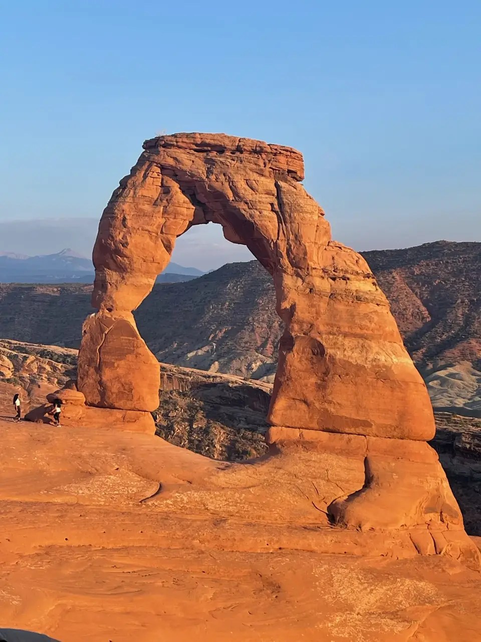
Utah’s Mighty 57 days5 parks≈386 mi
-
 Rockies
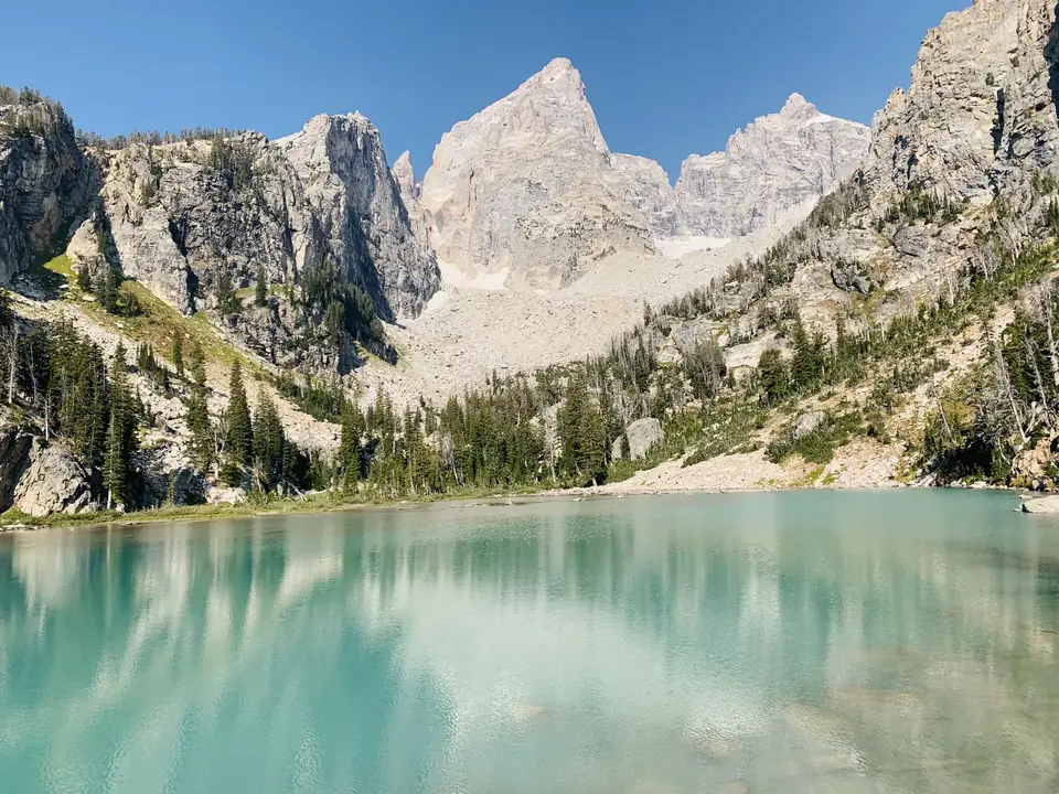
Yellowstone & Grand Teton5 days2 parks≈57 mi
-
 Southwest
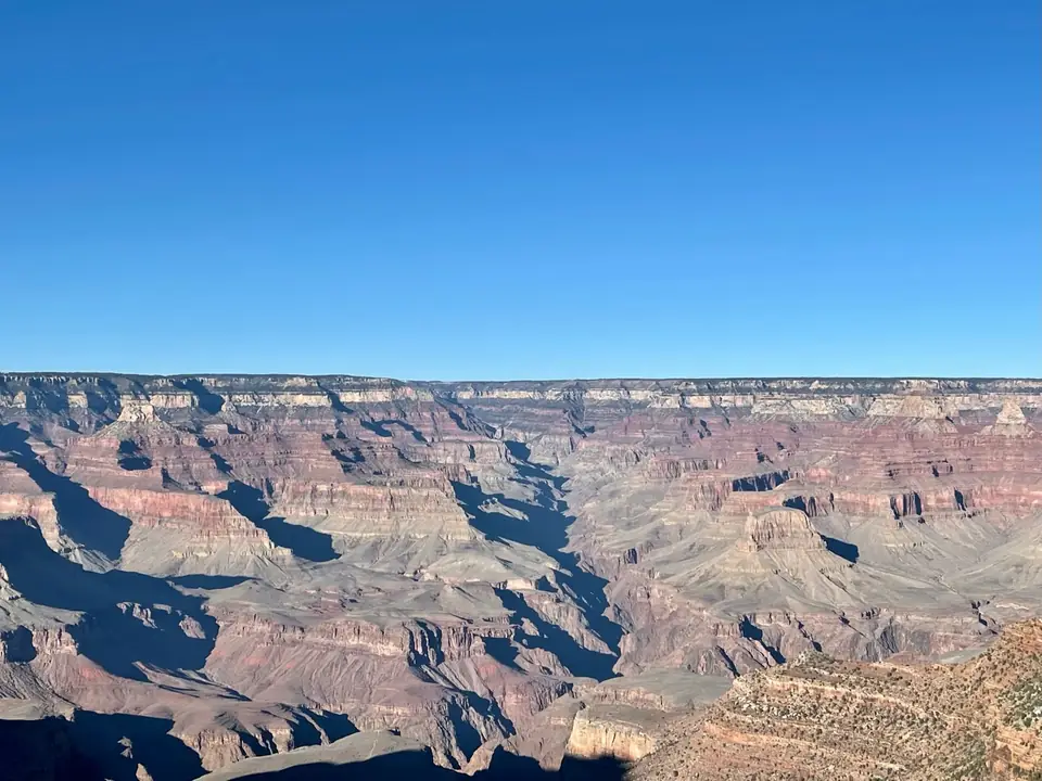
Grand Canyon, Zion & Bryce Canyon5 days3 parks≈335 mi
-
 West
Yosemite, Kings Canyon & Sequoia5 days3 parks≈175 mi
-
 West
Pacific Northwest5 days3 parks≈415 mi
We’ve been to every park on these routes. The order and days are a starting point; adjust them to your pace. Facts verified ; roads and rules change, so check each park’s conditions page before you drive.