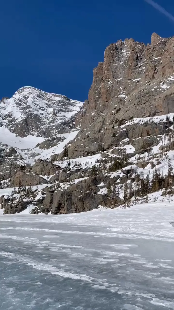
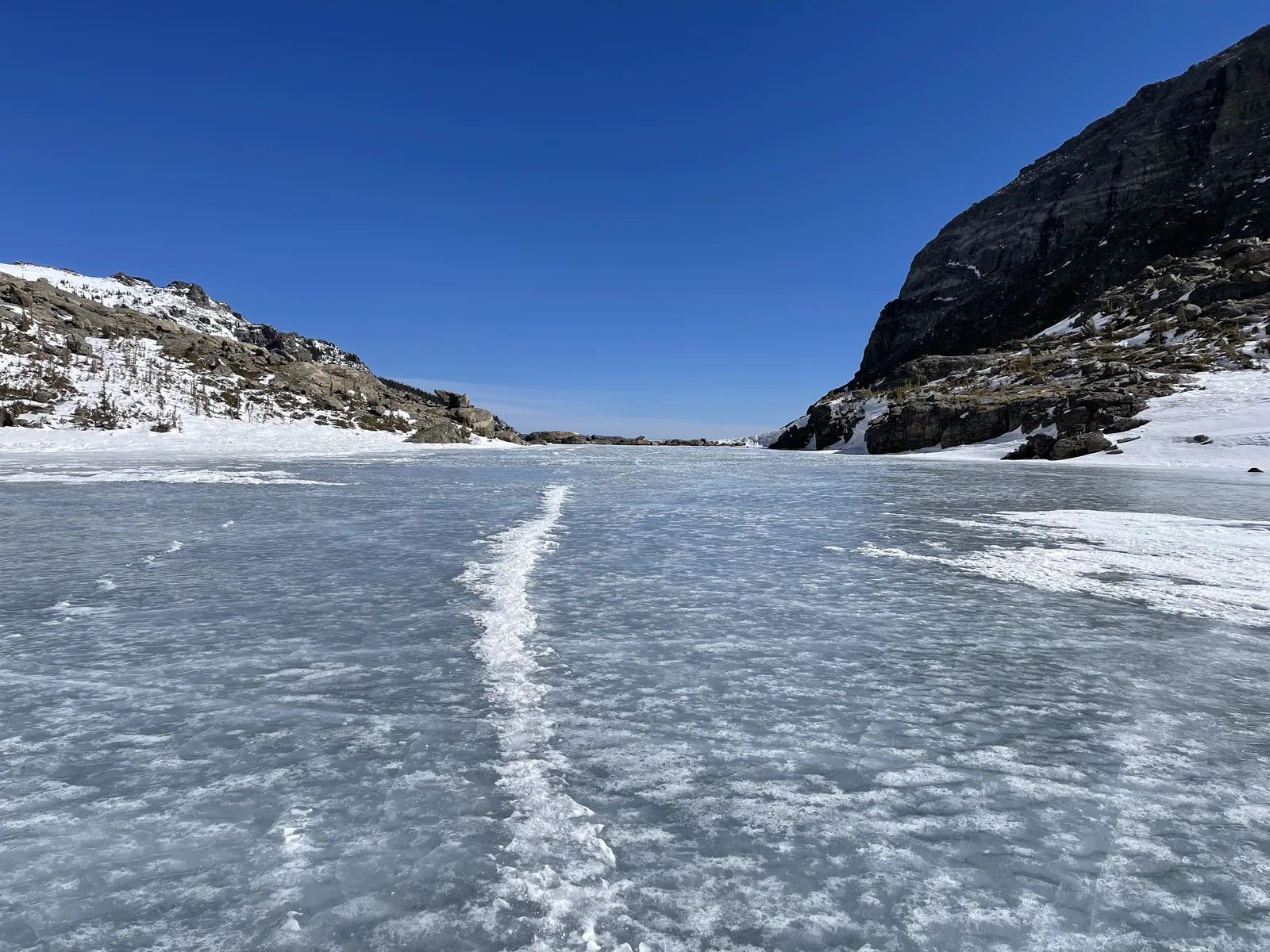
A frozen, snow-dusted lake spreads below craggy snow-covered peaks in Rocky Mountain National Park

Colorado

Rocky Mountain National Park Guide

Northern Colorado park about 70 miles northwest of Denver, with elevations from about 7,800 feet to over 14,000 feet. Trail Ridge Road, the highest continuous paved road in the US, crosses it between Estes Park and Grand Lake.

By David & Keri New, who have visited 63 of the 64 U.S. national parksUpdated

Park 19 of our 63Visited Apr 2021 and Jun 10, 2023

Your trip planner

Add Rocky Mountain to a trip

Choose a saved trip or start a new draft for this park.

Saves this park and its trail guides on this device. Alerts and conditions are as of when you save; live maps and bookings need a connection.

Photo: David & Keri New

NPS alertsAs of 6:03 AM ET, Nov 20

Trail Ridge Road is Closed to Through Travel for the Season

Booking morning · Tuesday, December 1 · About 8 a.m. ET observed June 2027 dates open at Aspenglen Campground, Glacier Basin Campground, Moraine Park Campground and Timber Creek Campground. Get a free reminder →

Plan your first trip to Rocky Mountain

3 days in summer is our starting point.

Starts a new draft and keeps your saved trips. Set a custom duration in the full planner.

How many days?

1 day
  1. Bear Lake corridor

With a few hours, drive Bear Lake Road to the Bear Lake parking area and walk around the lake. Add Nymph Lake, 0.5 mile one way from Bear Lake, if footing allows. In winter, the paths are snowy and icy, so bring traction devices.

National Park Service guidanceNational Park Service guidanceOpen the 1-day itinerary

Open this day plan
3 days · our pick
  1. Bear Lake corridor
  2. Deer Mountain, Sheep Lakes and Alluvial Fan
  3. Cross Trail Ridge Road
Open this day plan
Compare all trip lengths
Optional add-on

Give Wild Basin its own morning for Calypso Cascades, 1.8 miles one way from Wild Basin Ranger Station with 700 feet of gain. In the timed-entry season, the standard Timed Entry option covers Wild Basin.

National Park Service guidanceNational Park Service guidanceOpen the 5-day itinerary

If plans change

If you miss a timed-entry slot, check whether there is another release for your visit. If Trail Ridge Road is closed, plan the east and west sides separately.

National Park Service guidanceNational Park Service guidance

Check what’s open

Where to base yourself

Estes Park or Grand Lake

Use Estes Park for Bear Lake Road and the east side. Stay in Grand Lake for the Kawuneeche Valley. Pick the side you will spend the most time on.

National Park Service guidanceLodging and gateway towns

Compare stays and access

Before you book

Choose the timed-entry option that covers your route. If camping, check what access your specific campground reservation includes for your dates.

National Park Service guidance

Getting there and getting around

Enter from Estes Park on the east or Grand Lake on the west. Trail Ridge Road links the two sides but is closed from about mid-October through late May, and it is closed now. Park shuttles run only from late May to mid-October.

NPS directionsNPS park conditionsNational Park Service guidance

Our visit

Park 19 of our 63

Where Rocky Mountain ranks in our 63

April 2021

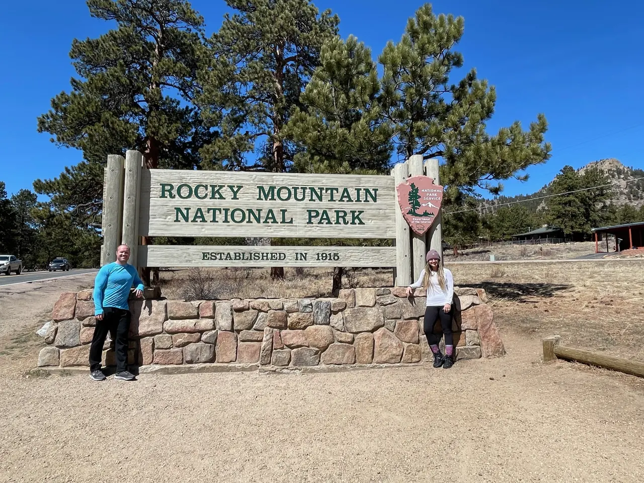
David and Keri at the Rocky Mountain entrance sign
We were hereApr 3, 2021
Jagged snowy peaks above a frozen lake in Rocky Mountain National Park
A rock wall rising above the ice on our winter-conditions hike to Sky Pond. · Apr 3, 2021
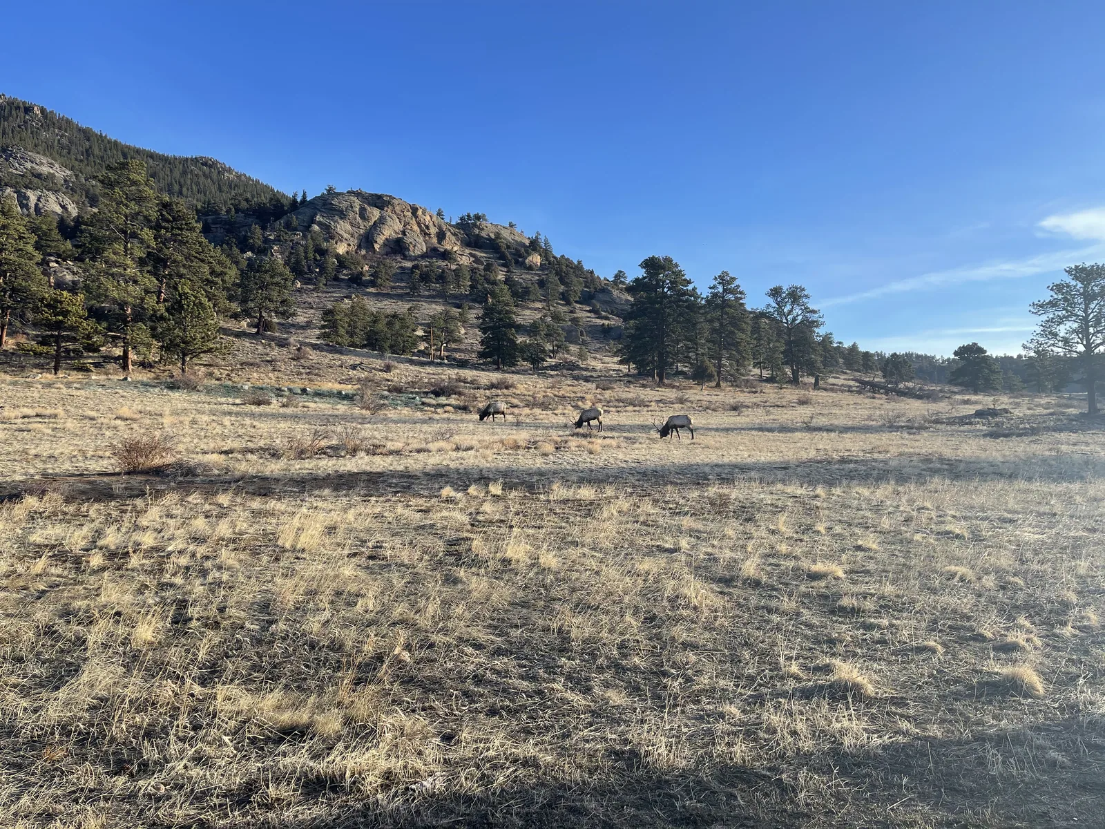
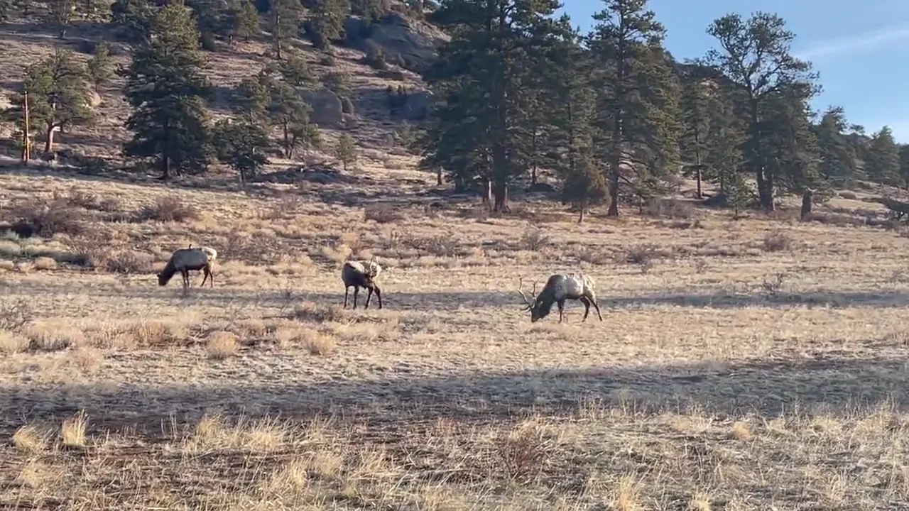
Elk graze in a dry winter meadow below rocky slopes in Rocky Mountain National Park
Elk scattered across a dry meadow on our Rocky Mountain trip. · Apr 3, 2021
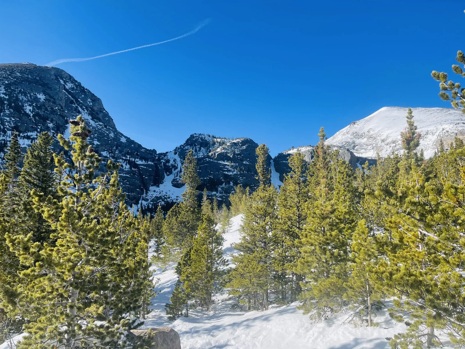
A snowy opening between evergreens with rocky peaks beyond in Glacier Gorge
A snowy trail among the evergreens in Glacier Gorge. · Apr 3, 2021
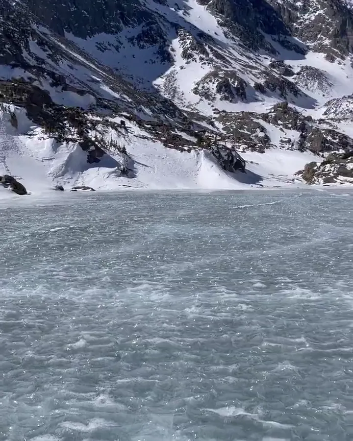
Cracks run across a frozen alpine lake below rocky peaks
A long crack running across the ice on our April hike. · Apr 3, 2021

Why it’s on our list

Rocky Mountain National Park delivers classic Colorado mountain scenery at its finest. Beautiful alpine lakes, towering peaks, abundant wildlife, and excellent hiking opportunities make this a fantastic destination for anyone who loves spending time in the mountains.

June 10, 2023Back again

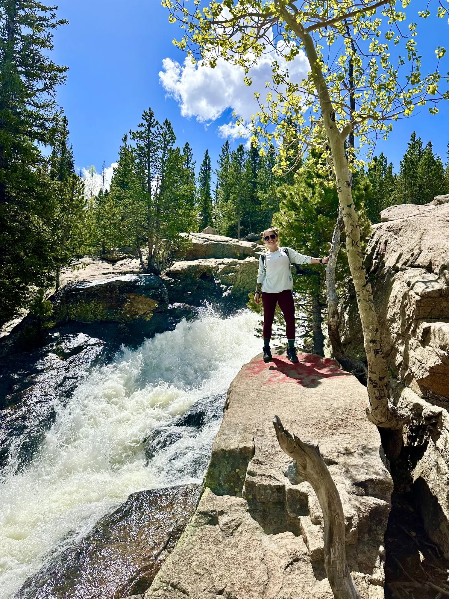
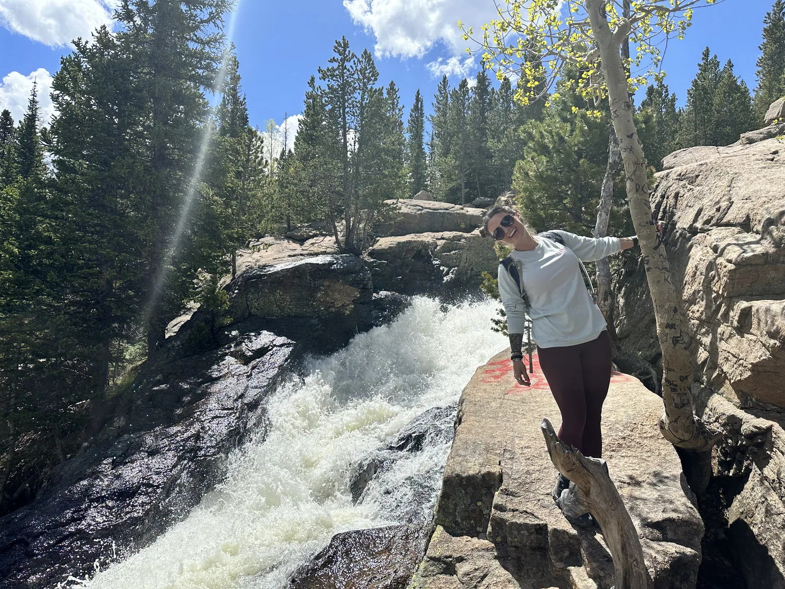
A hiker stands on a sunlit rock beside a rushing waterfall and spring aspens in Rocky Mountain National Park
A stop beside the rushing water on a summer hike in Rocky Mountain. · Jun 10, 2023
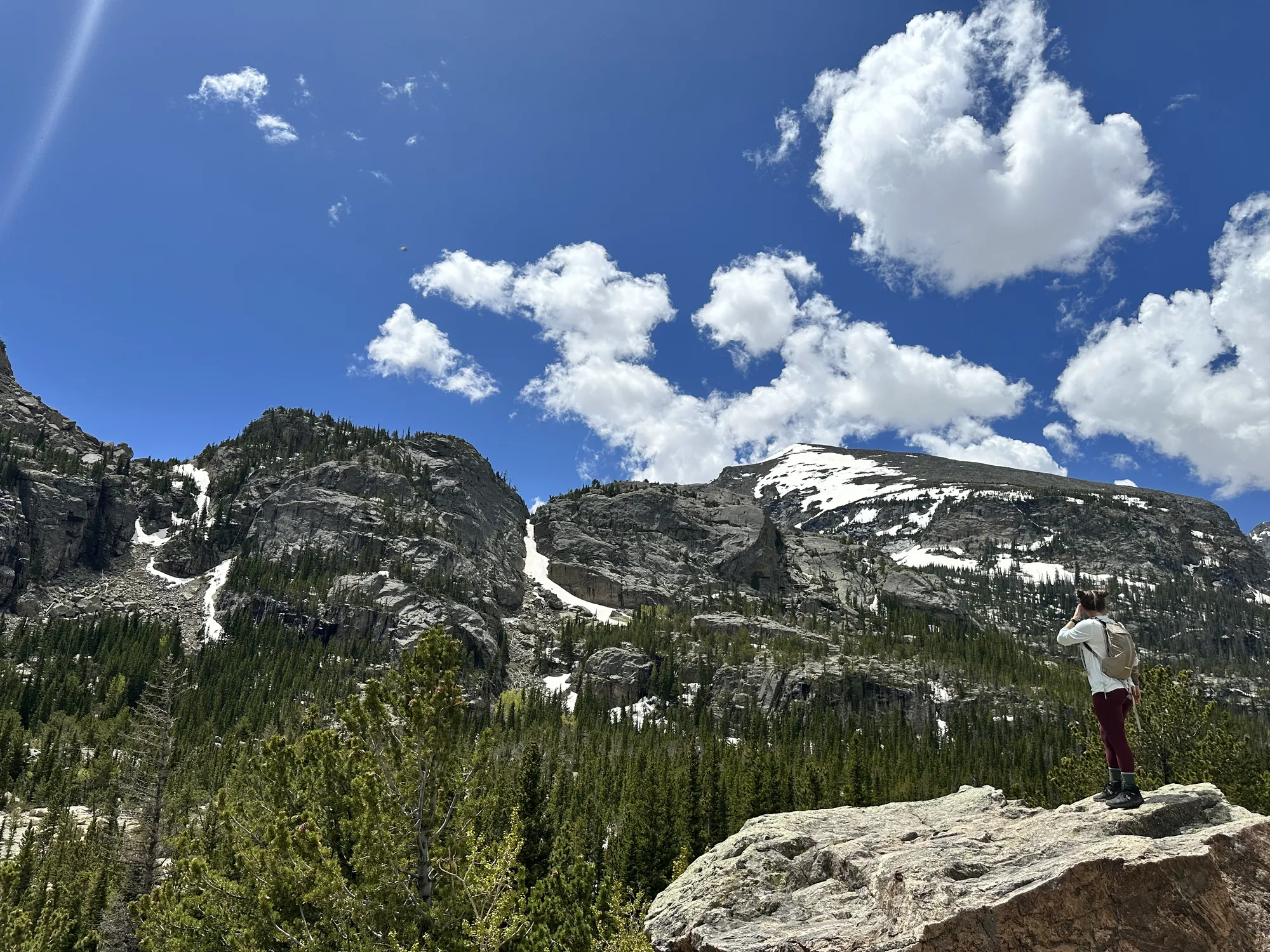
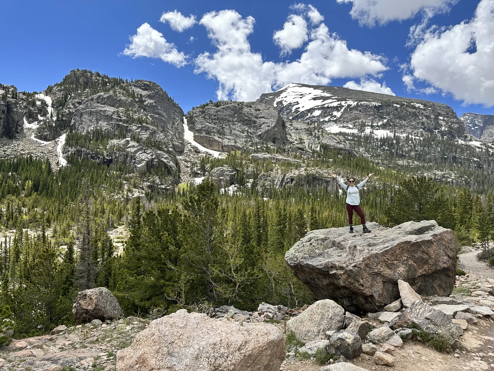
A hiker stands on a rock looking toward snow-patched peaks under a blue sky in Rocky Mountain National Park
Snow still in the gullies above the green valley on a summer hike. · Jun 10, 2023
Foaming water rushes past a visitor standing on a rock beside the stream in Glacier Gorge
Whitewater rushing past the trail in Glacier Gorge. · Jun 10, 2023
Snow-patched peaks rise above a green valley and boulders in Rocky Mountain National Park
Summer green in the valley and snow still high on the cliffs. · Jun 10, 2023
See all 19 photos and videos
When we went
April 2021 · June 10, 2023
Trips
2

Photos by David & Keri New.

Firsthand · David & Keri New

What we’d tell a friend about Rocky Mountain

Rocky Mountain is big, high country, with jagged peaks, alpine lakes and elk wandering right through Estes Park. We were there in early April, when the lakes were frozen solid, and we walked right out on the ice under the snowy peaks.

  • Apr 3, 2021 · Day trip
Elk graze in a dry meadow below a pine-covered hillside
Elk in a meadow · our video
Sunlit rippled ice on a frozen lake below snowy peaks
A frozen alpine lake · our video
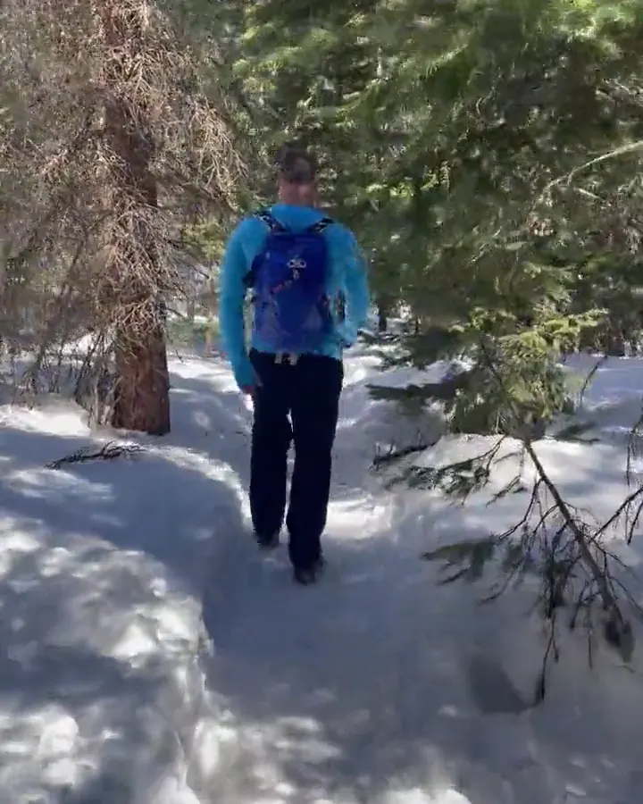
A hiker walks a packed snow path through a sunlit pine forest
A snowy forest trail · our video
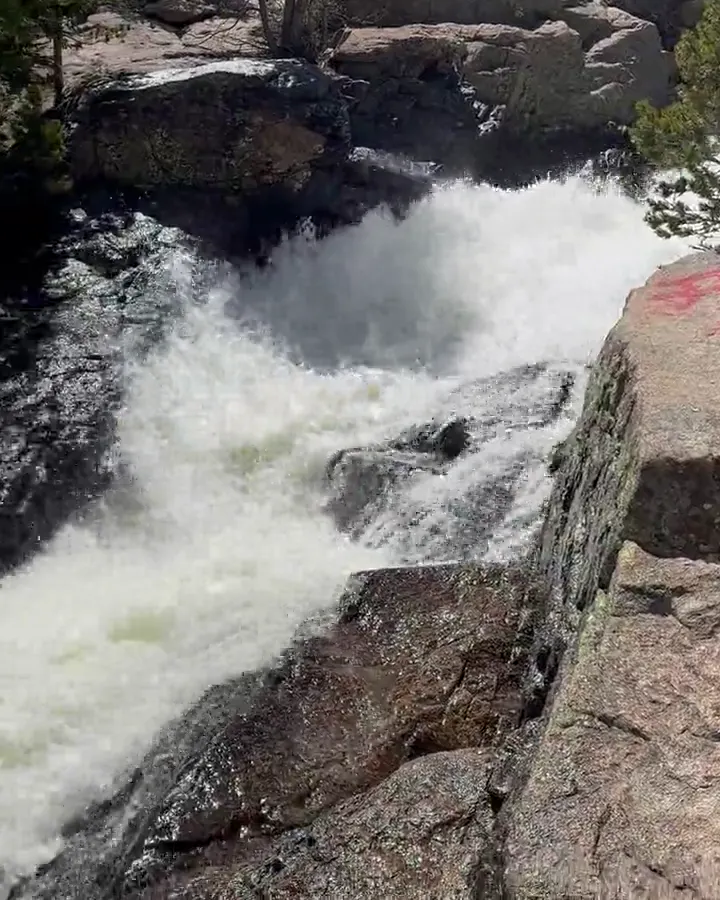
White water rushes over dark rocks below a forest of pine and aspen
A spring waterfall · our video
See all 19 photos and videos

Our favorite hike

Sky Pond

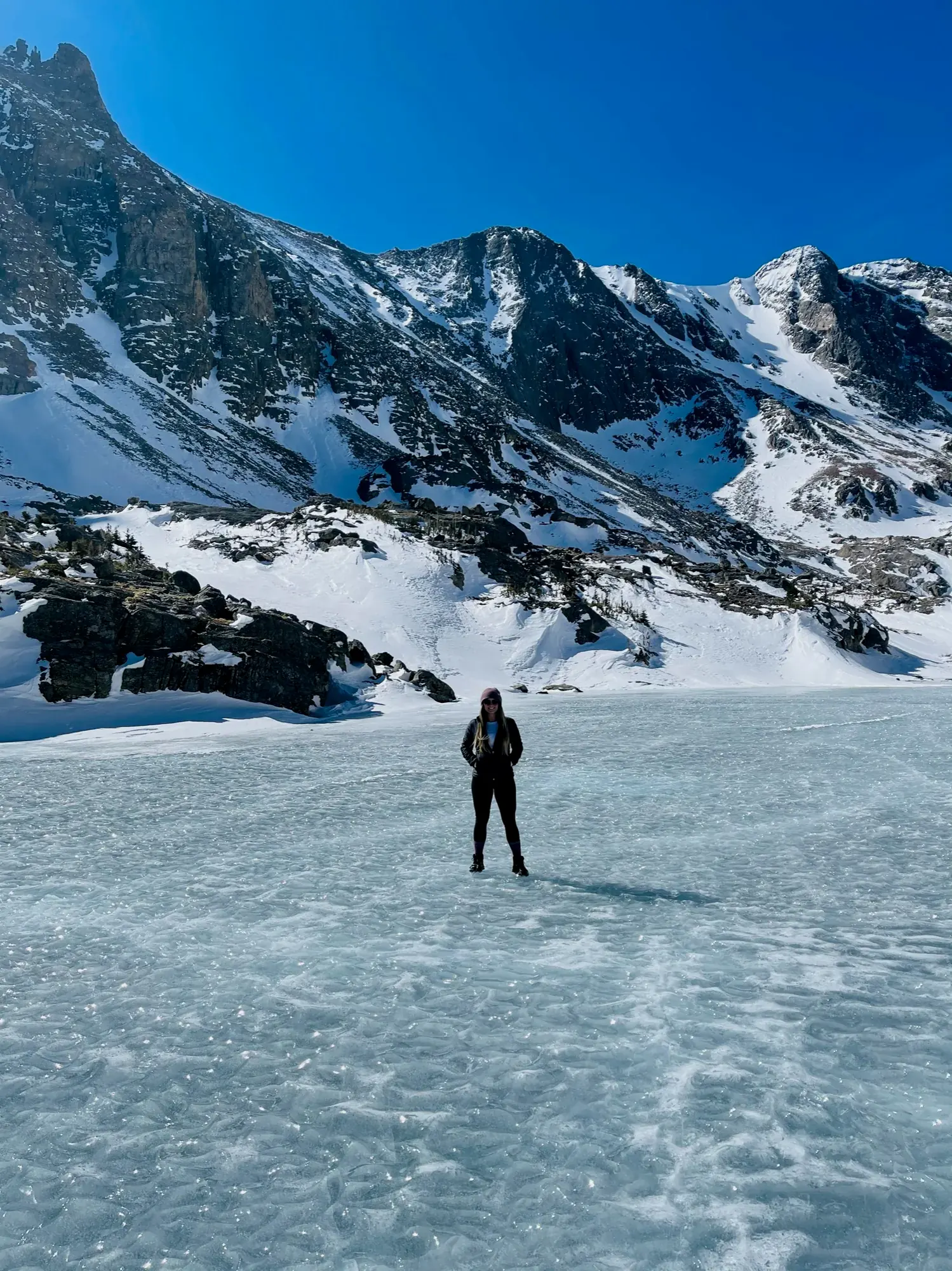
Sky Pond is our favorite hike. We did it in April 2021, in winter conditions. We passed Alberta Falls and The Loch, then scrambled up beside Timberline Falls to the lake, which was frozen solid under the peaks, and we walked right out on the ice.
Our one tip

In summer, the lots along Bear Lake Road fill fast, so be at the trailhead early in the morning or ride the park shuttle. In spring, bring microspikes, because the trails above Bear Lake stay icy well into May.

What we’d do differently

Trail Ridge Road was still closed for the season when we visited, so we missed the alpine tundra. We’d come back in summer to drive it.

With one more day

With another day, we’d go over to the west side and look for moose in the Kawuneeche Valley near Grand Lake.

Was it a good time to go?

Apr 3, 2021: Early April is still winter up high. There’s snow on the trails, the lakes are frozen and Trail Ridge Road is closed, but it’s quiet and timed-entry season hasn’t started. Even on Easter weekend, we had nothing but blue sky over the mountains.

June 10, 2023: On a short trip in June 2023, we just did a couple of hikes.

In town

Downtown Estes Park and its Riverwalk are good for wandering, and the historic Stanley Hotel deserves a look. Grand Lake, on the west side, is a smaller, quieter town on the water.

Entry and best time to visit

Entry

Check entry rules

You still need an entrance pass: $30 per vehicle, good for 1 days.

Fees and permits

Best time

September

September leads for elk and aspens. July–August for alpine hikes. Trail Ridge typically late May–mid-October. Winter limits access.

Month by month

Live conditions and planning tools →

What’s different now

Official update, not firsthand

Timed entry is still required in 2026: 9 a.m. to 2 p.m. from May 22 to October 12, and 5 a.m. to 6 p.m. for Bear Lake Road through October 18. Last verified · nps.gov

Our pick (editorial)

Editorial pick from official trail data, not from our trip notes

Not from our trip notes: a popular short walk in the Bear Lake corridor is the trail from Bear Lake to Nymph Lake, Dream Lake, and Emerald Lake. From the Bear Lake Trailhead, Emerald Lake is 1.7 miles one way (about 3.4 miles round trip) with 771 feet of gain. Parking often fills by 9:00 a.m. Last verified · nps.gov

Itineraries

How many days in Rocky Mountain?

  • 1 day

    Keep one day in the Bear Lake corridor: Bear Lake, Nymph Lake and Sprague Lake.

    1. Day 1 Bear Lake corridor
    Full 1-day plan
  • 2 days

    Day 1 covers the Bear Lake corridor; day 2 tours Trail Ridge Road from the listed Grand Lake base.

    1. Day 1 Bear Lake and Nymph Lake
    2. Day 2 Trail Ridge crossing to Grand Lake
    Full 2-day plan
  • 3 daysOur pick

    Combine Bear Lake with an east-side meadow/cascade day, then tour Trail Ridge Road from the listed Grand Lake base.

    1. Day 1 Bear Lake corridor
    2. Day 2 Deer Mountain, Sheep Lakes and Alluvial Fan
    3. Day 3 Cross Trail Ridge Road
    Full 3-day plan
  • 5 days

    Use three distinct east-side districts, tour Trail Ridge Road from the listed Grand Lake base, then spend a day on west-side river and waterfall trails.

    1. Day 1 Bear Lake corridor
    2. Day 2 Wild Basin cascades
    3. Day 3 Deer Mountain before Horseshoe Park
    4. Day 4 Cross Trail Ridge Road east to west
    5. Day 5 Lulu City and Adams Falls
    Full 5-day plan

Rocky Mountain itinerary: every day stop by stop, with sources

Compare the 1-, 2-, 3- and 5-day plans, day by day →

Map

Where things are in Rocky Mountain

10 visitor centers and 5 campgrounds on a map you can zoom and drag. Map data loads from OpenStreetMap when you tap.

Rocky Mountain’s Trail Ridge Road and entrances: schematic, not to scale Estes ParkFall RiverDeer RidgeBeaver MeadowsMoraine ParkBear LakeLongs PeakWild BasinAlpine VCGrand Lake
Schematic, not to scale

10 visitor centers

Locations from the NPS visitor-center listing, checked Nov 13, 2026. Hours and what each one has

5 campgrounds

Locations from Recreation.gov, checked Nov 7, 2026. Compare the campgrounds

Official NPS maps for Rocky Mountain (opens in a new tab) ↗

Trails

12 hikes, shortest first

A hiker on a frozen, snow-covered lake below jagged snowy peaks in Rocky Mountain National Park
A hiker on a frozen, snow-covered lake below jagged snowy peaks · Apr 2021
  1. East Inlet Trailhead to Adams Falls (west side)0.3 mi one way · Not significant (NPS), but with stone and log steps gain · Easy

    0.3 mi

    Details for East Inlet Trailhead to Adams Falls (west side)

    Near Grand Lake.

    Out and back · About 15 minutes (estimated)
    Start: East Inlet Trailhead near Grand Lake.

    Last verified · nps.gov
  2. Bear Lake to Nymph Lake0.5 mi one way · 231 ft gain · Easy

    0.5 mi

    Details for Bear Lake to Nymph Lake

    Continue to Dream Lake and Emerald Lake (10,111 ft) on the same trail.

    Out and back · About 30 minutes (estimated)
    Start: Bear Lake Trailhead at the end of Bear Lake Road.

    Last verified · nps.gov
  3. Tundra Communities Trail0.6 mi out and back (NPS trail listing) · 200 ft gain · Easy

    0.6 mi

    Details for Tundra Communities Trail

    Paved trail from the Rock Cut parking area on Trail Ridge Road, above treeline. Only reachable when the road is open.

    Out and back · About 30 minutes (estimated)
    Start: Rock Cut parking area on Trail Ridge Road.

    Last verified · nps.gov
  4. Bear Lake Nature Trail0.7 mi lollipop loop (NPS trail listing) · 20 ft gain · Easy

    0.7 mi

    Details for Bear Lake Nature Trail

    Starts at 9,475 ft. Heavy use. Needs Timed Entry + Bear Lake Road in season, or take the shuttle.

    Lollipop loop · About 15 minutes (estimated)
    Start: Bear Lake Trailhead at the end of Bear Lake Road.

    Last verified · nps.gov
  5. Sprague Lake Nature Trail0.8 mi lollipop loop (NPS trail listing) · 20 ft gain · Easy

    0.8 mi

    Details for Sprague Lake Nature Trail

    Views of the Continental Divide; wildlife viewing and fishing year-round.

    Lollipop loop · About 15 minutes (estimated)
    Start: Sprague Lake Trailhead.

    Last verified · nps.gov
  6. Wild Basin Trailhead to Calypso Cascades1.8 mi one way · About 630 ft gain · Moderate

    1.8 mi

    Details for Wild Basin Trailhead to Calypso Cascades

    Wild Basin area, southeast corner of the park.

    Out and back · About 1.5 hours (estimated)
    Start: Wild Basin Trailhead in the southeast corner of the park.

    Last verified · nps.gov
  7. Colorado River Trail to Lulu City (west side)3.75 mi one way · 300 ft gain · Moderate

    3.75 mi

    Details for Colorado River Trail to Lulu City (west side)

    Ends at the site of an 1800s mining settlement; good for spotting wildlife.

    Out and back · About 2.25 hours (estimated)
    Start: Colorado River Trailhead.

    Last verified · nps.gov
  8. Sandbeach Lake Trail4.3 mi one way (8.7 mi round trip) · 2,027 ft per the NPS trail description (NPS trail data lists 2,420 ft) gain · Hard

    4.3–8.7 mi

    Details for Sandbeach Lake Trail

    Lake at 10,343 ft, from the trailhead near Wild Basin Entrance Station.

    Out and back · About 4 hours (estimated)
    Start: Sandbeach Lake Trailhead near Wild Basin Entrance Station.

    Last verified · nps.gov
  9. Ouzel Lake Trail5 mi one way · About 1,833 ft gain · Hard

    5 mi

    Details for Ouzel Lake Trail

    Starts at 8,500 ft at Wild Basin Trailhead; Ouzel Lake is at 10,025 ft.

    Out and back · About 4 hours (estimated)
    Start: Wild Basin Trailhead.

    Last verified · nps.gov
  10. Lawn Lake Trail6.1 mi one way · About 2,470 ft net (8,540 ft trailhead to 11,007 ft lake, NPS description) gain · Moderate (NPS listing)

    6.1 mi

    Details for Lawn Lake Trail

    Climbs from the trailhead on Endovalley Road (8,540 ft) to Lawn Lake (11,007 ft).

    Out and back · About 5.25 hours (estimated)
    Start: Lawn Lake Trailhead on Endovalley Road.

    Last verified · nps.gov
  11. Deer Mountain Trail6.2 mi out and back (NPS trail listing) · 1,700 ft (NPS trail listing) gain · Hard

    6.2 mi

    Details for Deer Mountain Trail

    10,006 ft summit, with views of Longs Peak, Estes Park and the Mummy Range. Trailhead at Deer Ridge Junction; roadside parking is limited.

    Out and back · About 2.5 hours (estimated)
    Start: Deer Ridge Junction; limited roadside parking.

    Last verified · nps.gov
  12. Chasm Lake from Longs Peak Trailhead8.4 mi out and back (NPS trail listing) · 2,590 ft (NPS trail listing) gain · Hard

    8.4 mi

    Details for Chasm Lake from Longs Peak Trailhead

    In winter and early summer the section from Chasm Junction to Chasm Meadow can be icy (crampons and ice axe) or carry avalanche hazard.

    Out and back · About 4 hours (estimated)
    Start: Longs Peak Trailhead.

    Last verified · nps.gov

Distances, gains and difficulty as NPS publishes them; the bar shows the published distance, dashed where a longer option exists.

Camping

5 campgrounds in Rocky Mountain

Open in season
5
A night
$30–$55
Sites
570
With hookups
1
  • Moraine ParkSee dates · $35–$55 a night · rigs to 40 ft
  • Glacier BasinSee dates · $35 a night · rigs to 35 ft
  • AspenglenSee dates · $35 a night · rigs to 30 ft
  • Timber CreekSee dates · $35 a night · rigs to 30 ft
  • Longs PeakSee dates · $30 a night

Camping in and near Rocky Mountain: all 5 campgrounds, every site, nearby campgrounds and open sites for your dates

Fees, permits & rules

Rocky Mountain entrance fee: $30 per vehicle, plus permits and when to book

Last verified · nps.gov All Rocky Mountain fees, permits and booking deadlines →

Not a U.S. resident? Each visitor aged 16+ also pays a $100 nonresident fee here, unless your car has an annual pass. Visiting from abroad →

Rules and changes for 2026

  1. Timed entry, two kinds

    From May 22 to mid-October 2026, Timed Entry (9 am-2 pm, through Oct 12) covered the park outside the Bear Lake Road Corridor, and Timed Entry + Bear Lake Road (5 am-6 pm, through Oct 18) covered the corridor and the rest of the park. You enter within a 2-hour window and can stay as long as you like. With a Bear Lake Road reservation, re-entry to the corridor is allowed only after 2 pm. In 2026, reservations were released monthly on Recreation.gov at 8 am MDT on the 1st (from May 1), with 40% of each day’s reservations released at 7 pm MDT the night before. 2027 dates and release schedule not announced yet (NPS, checked Nov 2026).

    Last verified · Timed Entry Permit System (NPS)
  2. $100 nonresident fee

    Non-US residents age 16 and over pay a $100 per-person fee on top of the standard entrance pass, unless they enter with an Annual or America the Beautiful pass.

    Last verified · Fees & Passes (NPS)
  3. Cashless entry

    Entrance and campground fees are paid by debit or credit card only. Visitors with only cash can buy most entrance passes at the Rocky Mountain Conservancy Nature Stores at Beaver Meadows, Fall River or Kawuneeche visitor centers.

    Last verified · Fees & Passes (NPS)
5 more rules and changes
  1. Campground stay limit

    From May 1 through Oct 15 you can camp 7 nights total parkwide (all trips combined), plus up to 14 more nights between Nov 1 and Apr 30. Summer camping at Moraine Park, Glacier Basin, Aspenglen and Timber Creek is by reservation only.

    Last verified · Camping (NPS)
  2. Longs Peak Campground closed in 2026

    The tents-only Longs Peak Campground was closed for the 2026 season. It typically opens in early July and closes in early September. NPS lists 2027 opening and closing dates for all campgrounds as not yet announced, to be posted in mid-November (checked Nov 2026).

    Last verified · Camping (NPS)
  3. Pets off all trails

    Pets are prohibited on all trails, tundra and meadows. Leashed pets (6 ft max) may go only along roads, in parking areas, picnic areas and campgrounds, and are not allowed in visitor centers.

    Last verified · Pets (NPS)
  4. Wildlife distance and fire rules

    Approaching within 75 feet of any wild animal, or any distance that disturbs it, is prohibited. The park always has Stage 1 fire restrictions in place.

    Last verified · Rules & Regulations (NPS)
  5. Bear canisters for backpackers

    A hard-sided, lockable, commercially made bear canister is required for all wilderness overnights, and you must bring it to the Wilderness Office to get your permit.

    Last verified · Wilderness Overnight Backpacking (NPS)

Crowds by month

Historical recreation visits · 2021–2025 · as of Nov 3, 2026. Visits count entries, not unique people, parking spaces or trail crowding.

Average monthly recreation visits, 2021–2025
Jan119,123
Feb111,660
Mar153,039
Apr166,885
May320,085
Jun627,290
Jul794,537
Aug673,675
Sep592,233
Oct400,367
Nov150,002
Dec126,482

Busiest by average count: Jul. Quietest: Feb. Each bar is that month’s average visits across 5 years; unusual years and reported zeros are included. Past visits can’t tell you the best time of day to arrive.

Every month’s visits and NOAA weather, with the counts for each year →

NPS Visitor Use Statistics: monthly report · NPS monthly data · checked Nov 3, 2026; latest included year 2025.

How this page is made. The section “What we’d tell a friend” is ours. Our recorded visits to Rocky Mountain include April 2021 and June 2023.Planning information, including any fees, permits, closures, weather and crowd figures shown here, is compiled from the National Park Service, Recreation.gov and other public sources, and each fact shows the date we last checked it. If something is wrong, tell us and we’ll log the fix on our corrections page.

Sources & corrections

The core guide research was last verified Nov 20, 2026 against the linked National Park Service and Recreation.gov pages. Live conditions and separately sourced facts show their own dates. Park rules change; confirm before you go.

Report a correction · Corrections log

Photos: David & Keri New.

Where sources disagree (4)
  • The NPS fee data still shows an old 2024 timed-entry notice (‘through Oct 20, 2024′). The current NPS Timed Entry page (updated May 14, 2026) gives the 2026 dates used here.
  • Trail distance and elevation gain come from the NPS trail descriptions when they give them. Values marked (NPS trail listing) are lengths and gains NPS entered by hand in its trail data (Deer Mountain, Chasm Lake). Gains the map computes automatically are left out because they look wrong (for example, about 27 ft for Nymph Lake, where the description says 231 ft). For Sandbeach Lake the description says 2,027 ft of gain but the hand-entered trail data says 2,420 ft; confirm with the park (https://www.nps.gov/romo/planyourvisit/hiking.htm).
  • Old Fall River Road: the Biking page says 9 miles. Another NPS page says 9.4 miles.
  • Timed entry end dates: a Fall planning page says ‘mid-October’. The Timed Entry page says Oct 12 (park) and Oct 18 (Bear Lake Road) for 2026.