Our favorite hike
Warner Point Trail
At the end of the South Rim Road, this 1.5-mile round trip looks straight down into the gorge and out to the San Juan Mountains. It’s the easiest way to feel how deep and narrow the canyon really is.

Colorado
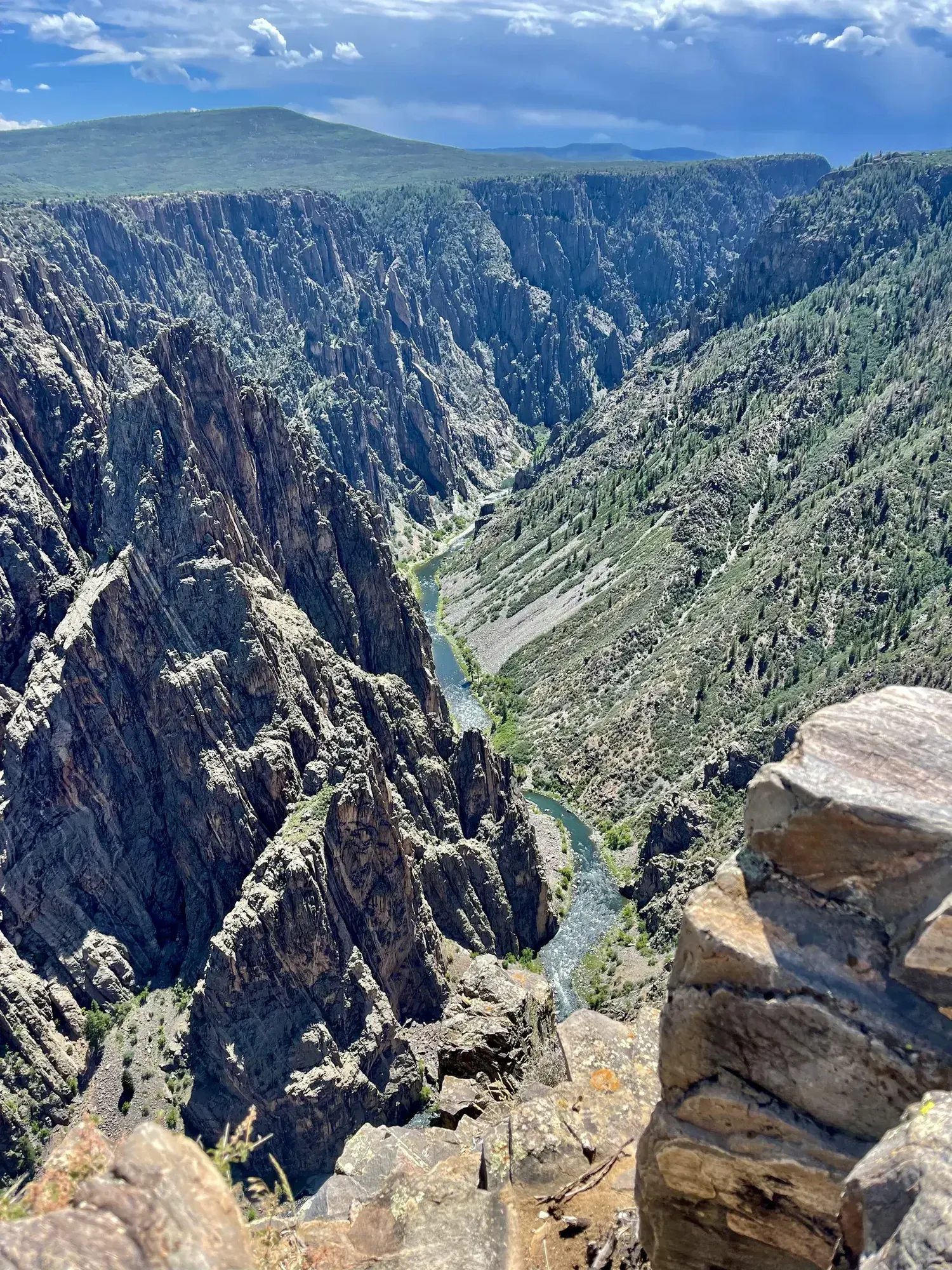
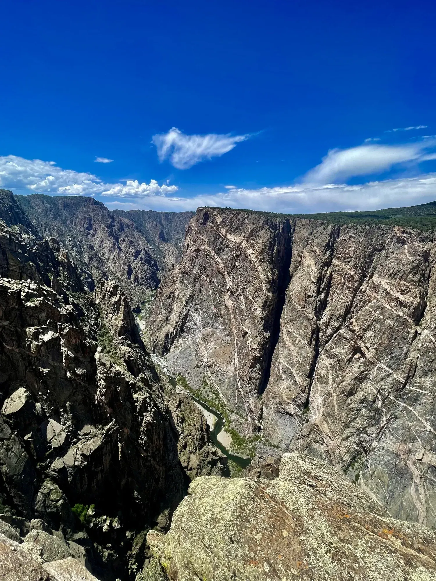
Some of the steepest cliffs, oldest rock and craggiest spires in North America. A sheer, narrow gorge with 2,250-ft Painted Wall, Colorado’s tallest cliff.
By David & Keri New, who have visited 63 of the 64 U.S. national parksUpdated
42Park 42 of our 63Visited Jul 2022
Saves this park and its trail guides on this device. Alerts and conditions are as of when you save; live maps and bookings need a connection.
NPS alertsAs of 6:03 AM ET, Nov 20
1 day is our starting point.
With one to two hours, NPS suggests the South Rim Visitor Center, South Rim Drive and some of its 12 overlooks. In winter the road past the visitor center closes to vehicles, so use Gunnison Point by the center instead.
National Park Service guidanceNPS operating dates and hoursNPS park conditions
When it is open, drive East Portal Road from the South Rim entrance down to the river and the Gunnison Diversion Dam. It is steep, with 16% grades, and bars vehicles over 22 feet. It closes in winter, typically November to April, and is closed now.
If the North Rim road is closed, use an open South Rim route. If South Rim camping is full, check Elk Creek at Curecanti when approaching from the east.
Montrose for the South Rim, Crawford for the North Rim
Choose lodging on the side you will visit first. The park roads do not connect across the canyon. Check North Rim road access before booking that side.
Reserve South Rim camping through its campground listing. Check current access and the campground-specific rules for North Rim and East Portal.
Come by private vehicle, since the park has no public transportation. The South Rim is 7 miles north on CO 347 from US 50 east of Montrose. When the South Rim road is closed for the season, set your map app to the South Rim Entrance Station.
Our visit
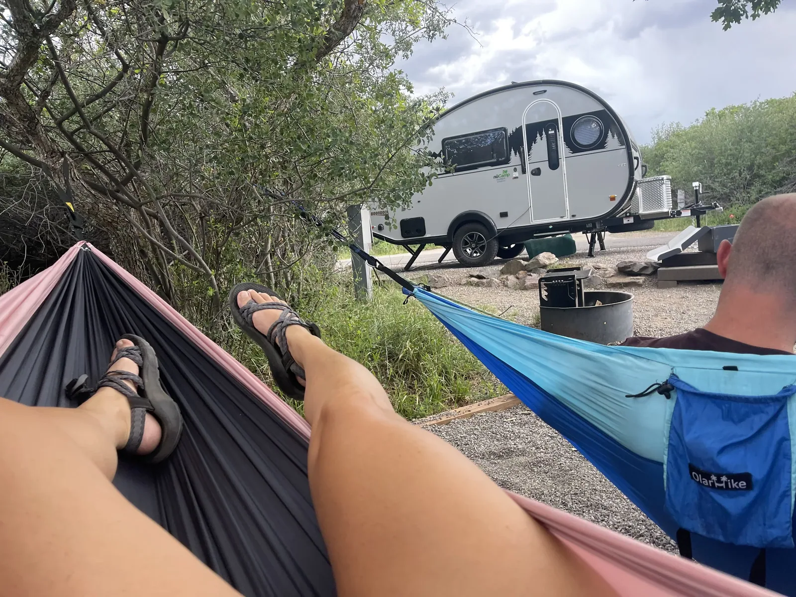
July 2022
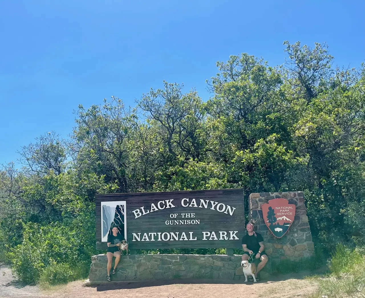
Why it’s on our list
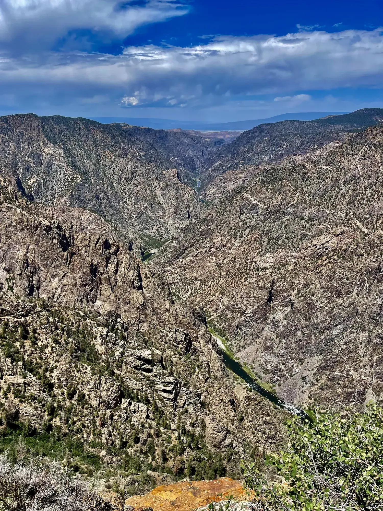
Black Canyon of the Gunnison features some of the steepest and most dramatic canyon walls in the country, with sheer cliffs dropping thousands of feet toward the river below. The overlooks are impressive, and the dark rock formations create a landscape unlike many other canyons. However, the park offers a somewhat limited sightseeing experience unless you’re prepared for the difficult hikes into the canyon.
Our favorite moment
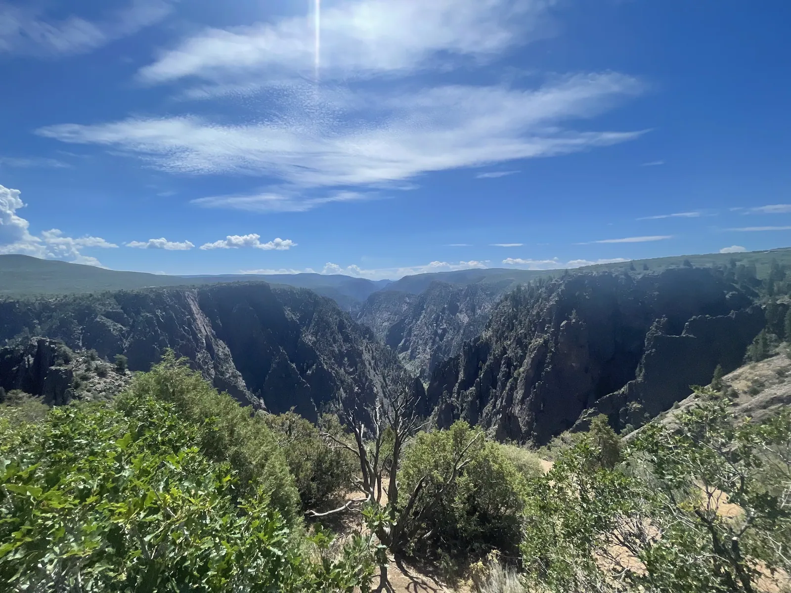
Looking down into the canyon from Gunnison Point, seeing the enormous Painted Wall, and hiking along the canyon rim.
Photos by David & Keri New.
Firsthand · David & Keri New
The canyon is dark, narrow and so deep that sunlight barely reaches the bottom. The Painted Wall is the tallest cliff in Colorado, and its streaks of pale rock look painted on. It’s not crowded, and you can see a lot in a day.
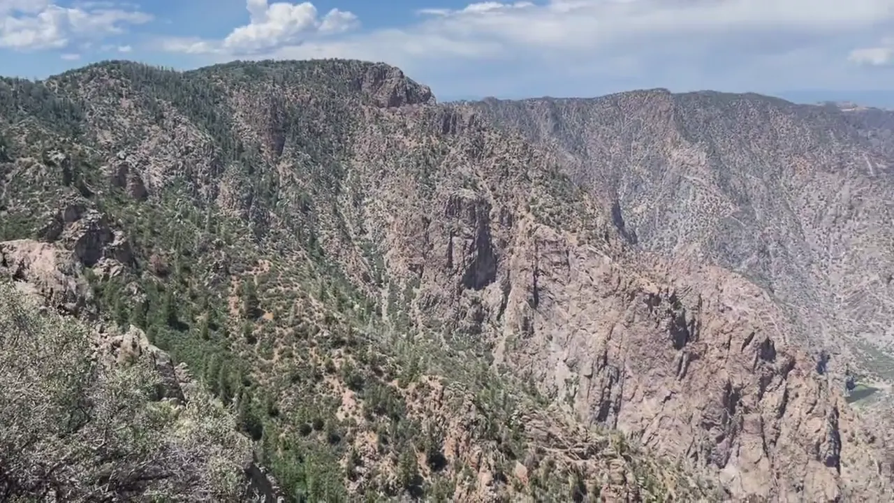
Warner Point Trail
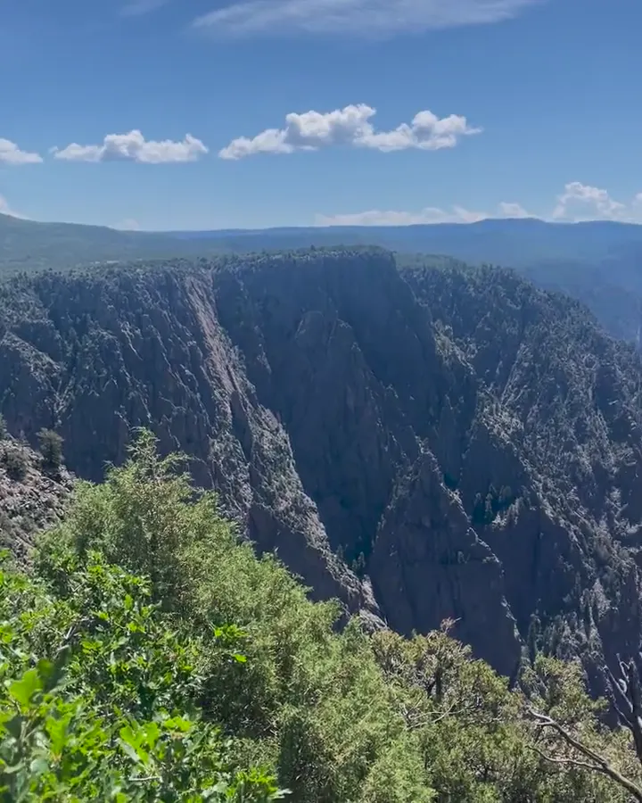
At the end of the South Rim Road, this 1.5-mile round trip looks straight down into the gorge and out to the San Juan Mountains. It’s the easiest way to feel how deep and narrow the canyon really is.
Hit the South Rim overlooks early in the day, before the afternoon storms build. Don’t skip Chasm View, which is a short, unpaved walk.
If we went back, we’d make the drive around to the North Rim, where the canyon is even narrower and there are fewer people.
We’d drive the steep East Portal Road down to the river, then catch the Painted Wall in the evening light.
Even at the peak of summer, this park never gets crowded. We had deep blue skies in the morning with clouds building later, which is typical for July.
Montrose is the base for this park. Ridgway’s True Grit Cafe and the mountain town of Ouray make a great afternoon down the road.
South Rim Campground
David 7/10Keri 6/10
Very open campground. You don’t get very good cell service, but our Starlink worked perfectly there. Very peaceful.
Entry
No entry reservation required
You still need an entrance pass: $30 per vehicle, good for 7 days.
Fees and permitsBest time
September
Best May-October when all roads open. September is peak. Winter closes North Rim, East Portal and South Rim Drive past VC. July-August storms. 2025 fire scars.
Month by monthItineraries
1 dayOur pick
Optional day 2 · North Rim
Black Canyon of the Gunnison itinerary: every day stop by stop, with sources
Compare the 1-day plans, day by day →
Map
2 visitor centers and 2 of the 3 campgrounds on a map you can zoom and drag. Map data loads from OpenStreetMap when you tap.
Visitor centerCampground Roads and trails are community-mapped; check closures with the park.
Locations from the NPS visitor-center listing, checked Nov 13, 2026. Hours and what each one has
Locations from Recreation.gov, checked Nov 7, 2026. Not on this map: East Portal (no Recreation.gov location in our data). Compare all 3 campgrounds
Official NPS maps for Black Canyon of the Gunnison (opens in a new tab) ↗
Trails
0.3 mi
Rim overlooks 1,800 ft above the river, with views of Painted Wall and Serpent Point. Leashed pets allowed.
Loop
Start: End of the one-way North Rim Campground loop.
0.8 mi
From High Point, with shady benches and views of the San Juan Mountains, West Elks, Grand Mesa and Uncompahgre Plateau. No pets.
Out and back
Start: High Point parking area at the end of South Rim Drive.
0.9 mi
Runs through the uplands near the South Rim Visitor Center. No pets.
One way (point to point)
Start: Park at the South Rim Visitor Center or campground; access via Oak Flat Loop or Rim Rock Trail.
1 mi
Links the visitor center and campground along the rim. Rocky, with stairs and drop-offs; passes a heavily burned area. Leashed dogs are allowed except in summer, when deer are protecting fawns.
One way (point to point) · About 15 minutes (estimated)
Start: Near Campground Loop C entrance; connects to the South Rim Visitor Center.
1.6 mi
Loop just below the rim near the visitor center. Open; may be muddy after rain or snow. No pets.
Loop
Start: Near the South Rim Visitor Center; follow signs for Oak Flat Loop.
1.6–3.6 mi
North Rim trail along the canyon rim through pinyon-juniper forest. No pets.
Out and back
Start: North Rim Ranger Station.
2.6–6.6 mi
Views of Deadhorse Gulch and East Portal. No pets.
Lollipop loop
Start: Park at Kneeling Camel Overlook; walk east to the spur road toward the old ranger station.
Varies
Plant guideposts lead to two overlooks with views of the river and Painted Wall. Leashed pets allowed.
Out and back
Start: Cedar Point Nature Trail parking area off South Rim Drive.
Distances, gains and difficulty as NPS publishes them; the bar shows the published distance, dashed where a longer option exists.
Camping
Fees, permits & rules
Last verified · nps.gov All Black Canyon of the Gunnison fees, permits and booking deadlines →
As checked Nov 1, 2026, 25 non-electric South Rim campsites have reopened and are reservable; other areas remain closed for safety and rehabilitation. Windblown ash, soot and fire debris may be present.
Last verified · Camping (NPS)As checked Nov 1, 2026, drinking water is shut off for winter on both rims and at East Portal, including all campgrounds. Bring drinking water.
Last verified · NPS alert / CampingCashless entrance and campground payments began April 1, 2025. South Rim campsites require Recreation.gov reservations year-round. North Rim and East Portal are first-come, first-served with payment through Scan & Pay in the Recreation.gov app; download it before arriving. Save prepaid entrance passes offline. The visitor center bookstore still accepts cash.
Last verified · Cashless FAQ (NPS)Some climbing areas, including Serpent Point, may close from March 15 to July 15 for nesting raptors.
Last verified · Climbing Closures (NPS)NPS reports Rim Rock and Uplands trails open as of Oct 13, 2026; both pass through heavily burned areas with uneven surfaces and blowing ash. Rain or snow can leave trails wet or muddy.
Last verified · Current Conditions (NPS)Email me this guide Get a link to the Black Canyon of the Gunnison guide in your inbox, to open again when you plan or before you go.
One email with the link. We don’t add you to any list unless you tick the box.
Historical recreation visits · 2021–2025 · as of Nov 3, 2026. Visits count entries, not unique people, parking spaces or trail crowding.
Busiest by average count: Jun. Quietest: Feb. Each bar is that month’s average visits across 5 years; unusual years and reported zeros are included. Past visits can’t tell you the best time of day to arrive.
Every month’s visits and NOAA weather, with the counts for each year →
NPS Visitor Use Statistics: monthly report · NPS monthly data · checked Nov 3, 2026; latest included year 2025.
Plan your visit
For any park: passes and free entrance days · what to pack · visiting with kids · stargazing
Getting there and park logistics →
Find a place to stay near Black Canyon of the Gunnison → See camping and backup options for this park.
How this page is made. The section “What we’d tell a friend” is ours. Our recorded visits to Black Canyon of the Gunnison include July 2022.Planning information, including any fees, permits, closures, weather and crowd figures shown here, is compiled from the National Park Service, Recreation.gov and other public sources, and each fact shows the date we last checked it. If something is wrong, tell us and we’ll log the fix on our corrections page.