Our favorite hike
High Dune on First Ridge
There’s no trail, just a long, steep slog up the sand ridges to a view across the whole dunefield. It is so much more challenging than it looks.

Colorado
The tallest dunes in North America, a 30-square-mile dunefield under the Sangre de Cristo Mountains. A seasonal creek runs along its edge, and the preserve above climbs to alpine lakes and 13,000-ft peaks. The park is open 24 hours and is an International Dark Sky Park.
By David & Keri New, who have visited 63 of the 64 U.S. national parksUpdated
31Park 31 of our 63Visited Sep 2021
Saves this park and its trail guides on this device. Alerts and conditions are as of when you save; live maps and bookings need a connection.
NPS alertsAs of 6:03 AM ET, Nov 20
2 days is our starting point.
Use the coolest part of day one for the dunes. Leave time for the foothills and treat Medano Creek as seasonal. Add Zapata Falls or Mosca Pass on a second day when the relevant roads and trails are suitable.
With a few hours, walk onto the dunes from the Dunes Parking Lot and turn around on a lower ridge. NPS gives High Dune on First Ridge an average of 2 hours over 2.5 miles round trip, or up to 4 if not acclimated.
For a long day, hike to Hidden Dune, the tallest dune in North America at 741 feet. NPS says to plan on 7 miles round trip over 6 hours from the Dunes Parking Lot. There is no trail in the sand.
If heat or wind makes the dunes unsuitable, try the short Montville Nature Trail from the foothills trailhead when open and conditions allow. Return to the dunes during a cooler, calmer window if you have one.
Highway 150 near the entrance or Alamosa
Stay near the entrance if an early dune walk matters. Use Alamosa for more lodging, food and supplies. Compare Piñon Flats separately if you want to camp inside the park.
Reserve lodging or a campsite first. Arrange sandboard rentals before reaching the park if that is part of your plan. Check the weather and the creek status before committing to a dune or water trip.
Lodging and gateway townsOpen the 1-day itineraryCurrent park conditions
Reach the main park area on paved Highway 150 from the south or County Lane 6 from the west. Do not rely on mapping apps, which have sent visitors onto hiking trails and 4WD roads. The visitor center is 37 miles from Alamosa.
Our visit
September 2021
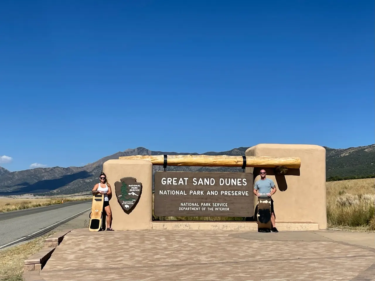
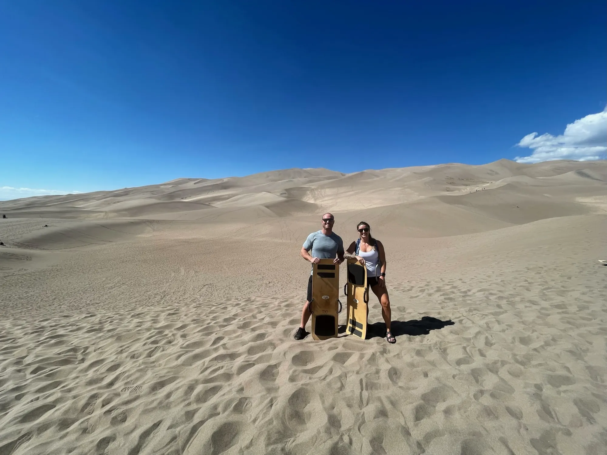
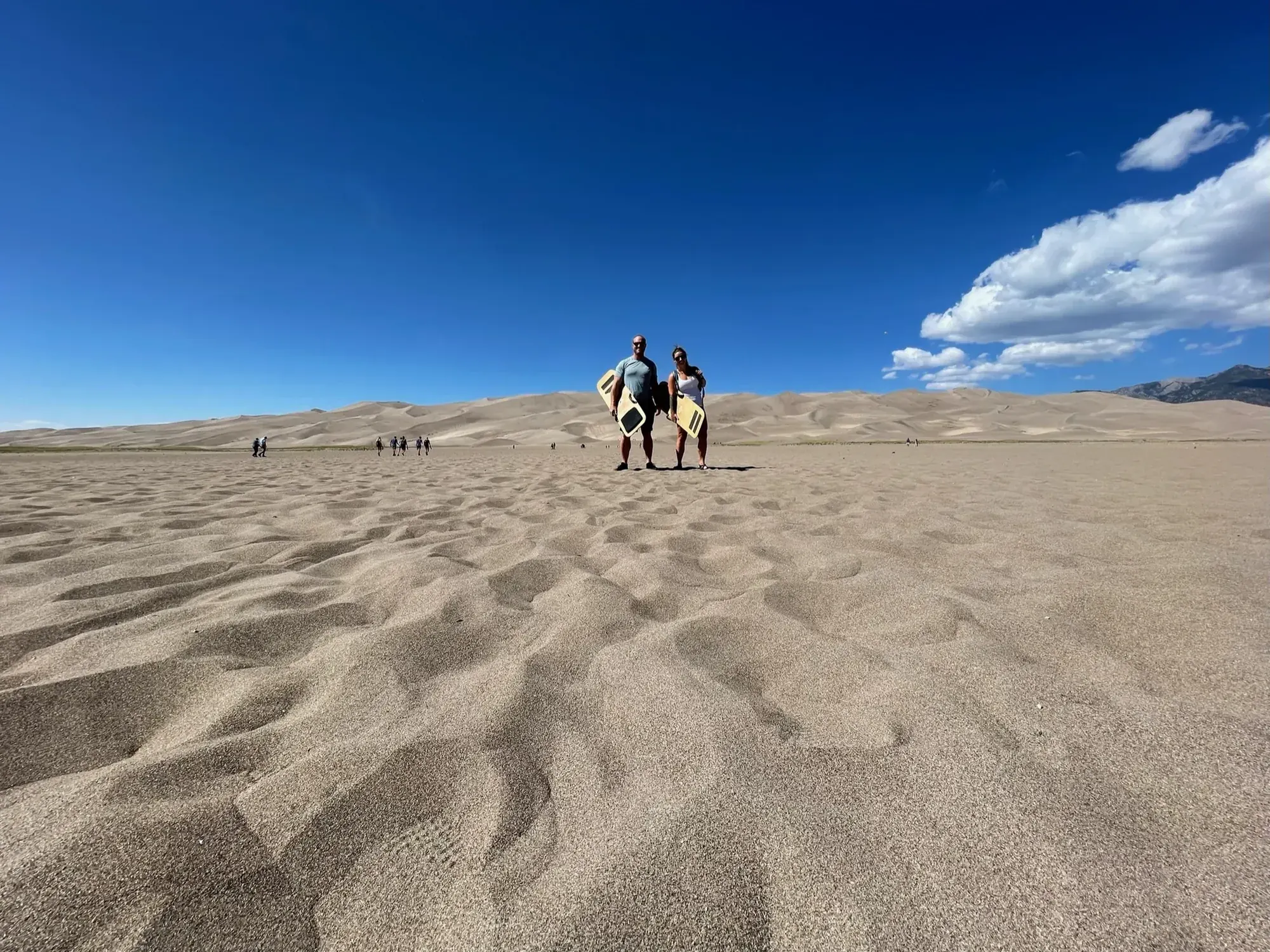
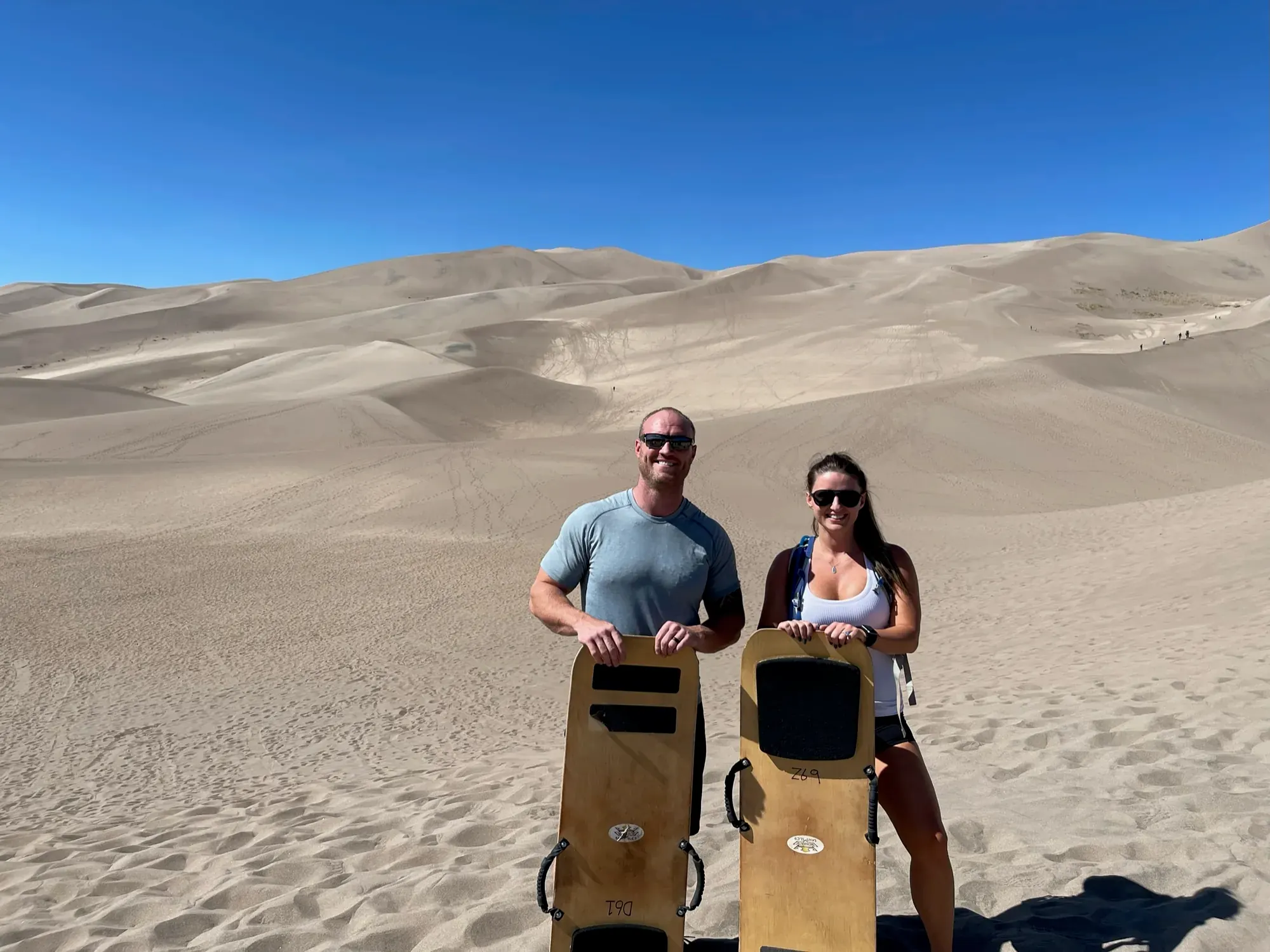
Why it’s on our list
Great Sand Dunes is home to an enormous sea of sand surrounded by the beautiful Sangre de Cristo Mountains. The contrast between towering dunes and snow-covered peaks creates one of the most unusual landscapes in the country. Although the scenery is impressive, the park offers a more specialized experience than many of the parks we’ve ranked higher.
Our favorite moment
Sandboarding down the dunes and hiking to the top of a massive dune (very tiring).
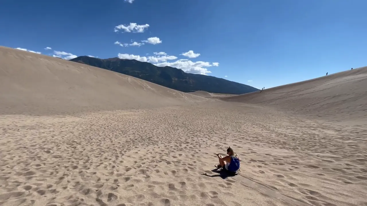
Photos by David & Keri New.
Firsthand · David & Keri New
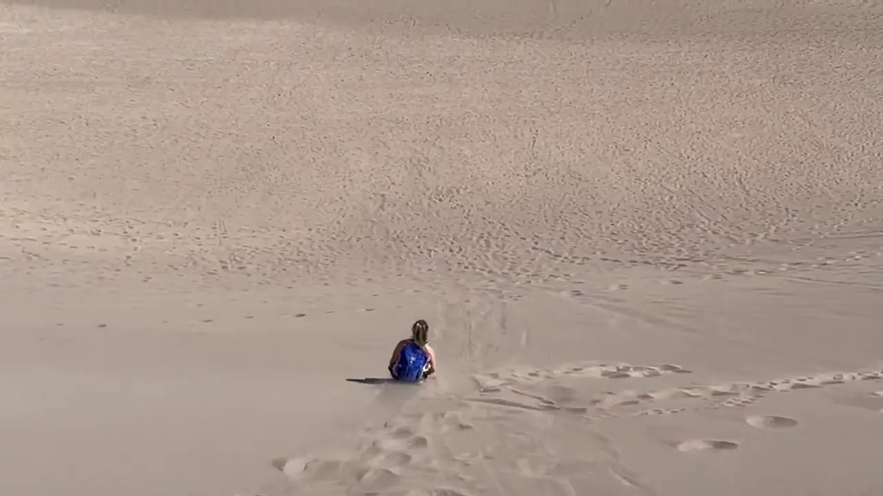
Great Sand Dunes has the tallest dunes in North America, piled up against the Sangre de Cristo Mountains in a big open valley. We carried sandboards up the dunes under a deep blue sky, and it wore us out a lot faster than we expected. We climbed and sled the dunes here and at White Sands. Great Sand Dunes were much higher up and had much better sledding. Walking up the dunes is substantially more tiring than you would think.
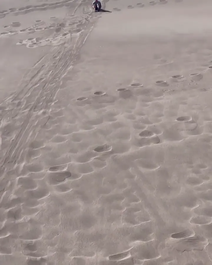
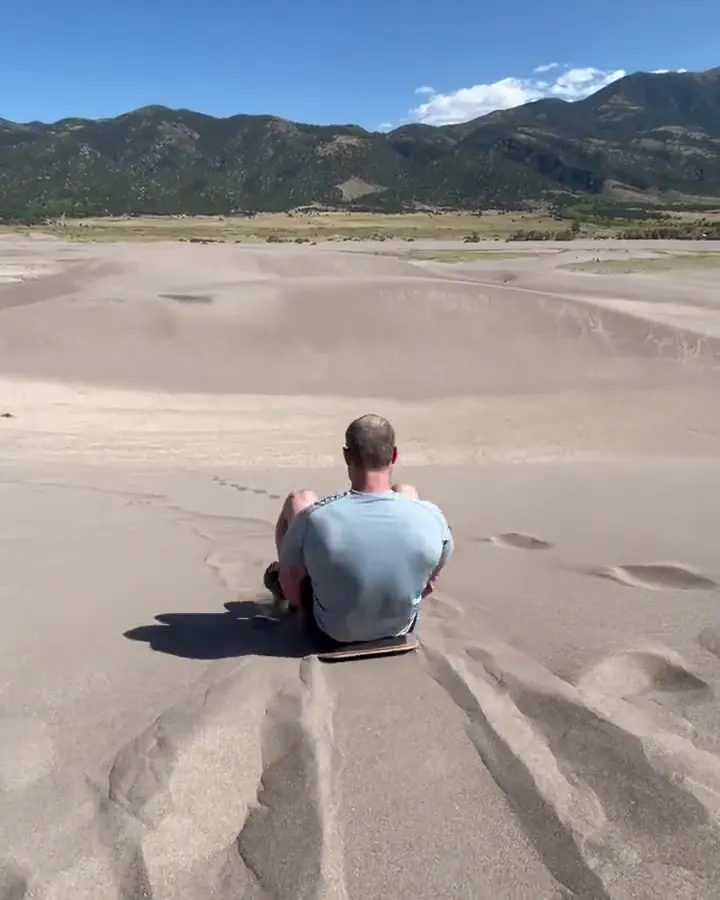
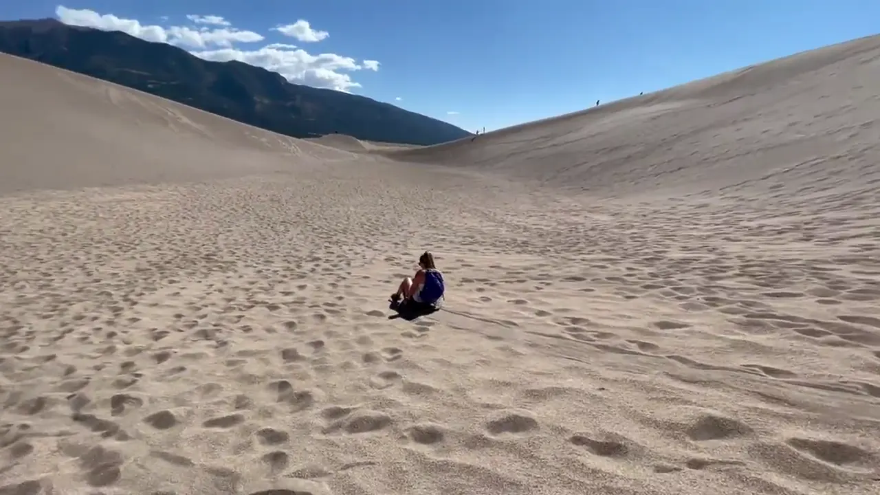
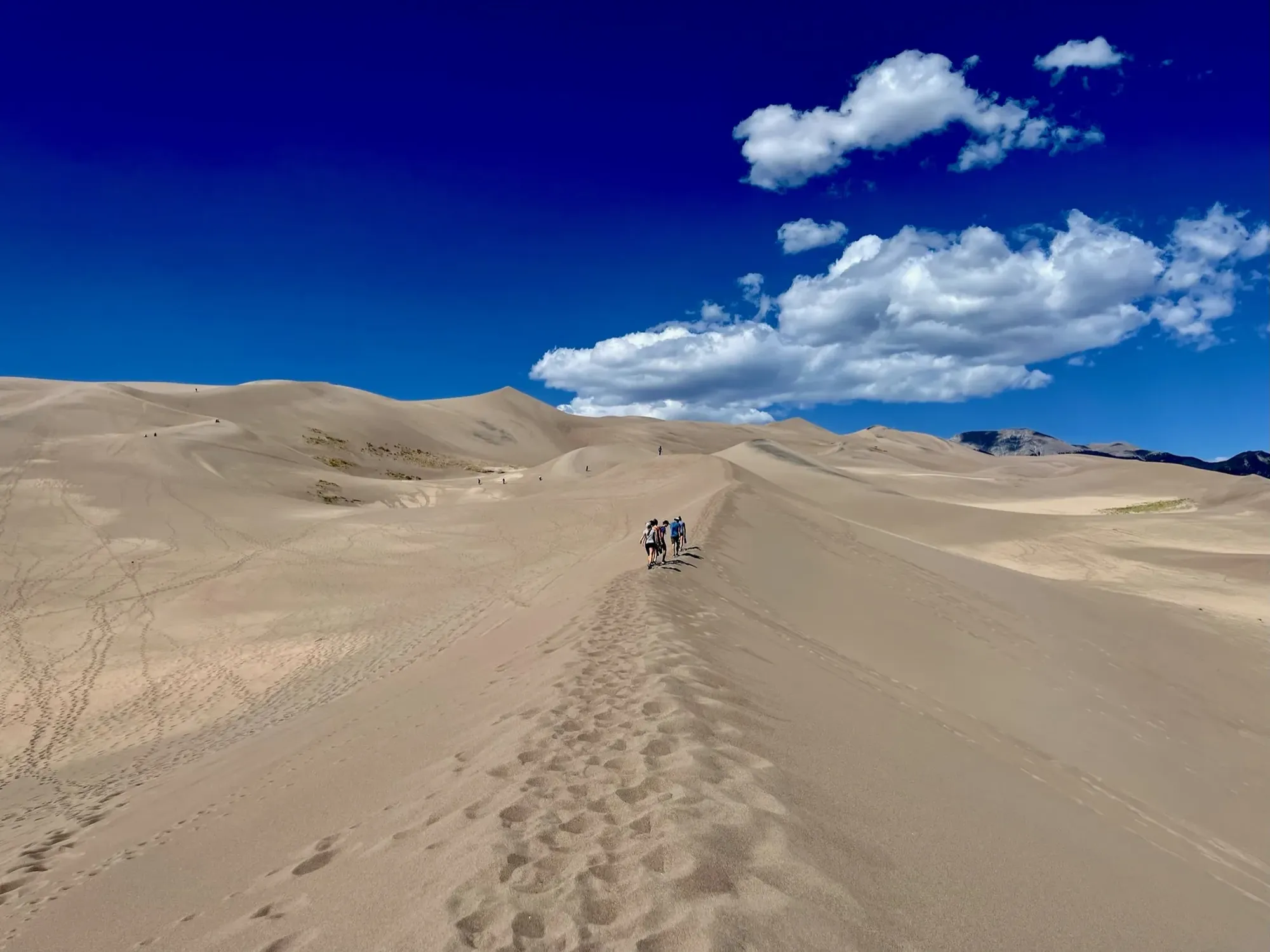
High Dune on First Ridge
There’s no trail, just a long, steep slog up the sand ridges to a view across the whole dunefield. It is so much more challenging than it looks.
Go early in the morning and wear real shoes, because the sand can reach about 150°F by midday even when the air feels mild. Rent your sandboard or sled before you arrive, since there are no rentals inside the park.
Pacing ourselves is the lesson we learned. After going down two or three times we were worn out, so we’d save more energy for the walk back up.
One day covers the dunes for most people. With a second, we’d stay for the dark night skies and do the short hike to Zapata Falls, a waterfall hidden in a narrow rock crevice just south of the park.
Late September comes after the summer crowds and the air is cooler, so we liked the timing. Medano Creek is usually dry by then, though.
The Oasis store at the park entrance is where you rent sandboards and sleds, and Alamosa is the nearest real town.
Best time
September
September best: mild, all open, thinner crowds. Late May-early June Medano Creek peak (snowpack-dependent) but packed. July hot sand. Winter cold.
Month by monthThe park does not rent sandboards or sleds. Rent or buy before you arrive, at shops such as Great Dunes Oasis Store, 4 miles from the visitor center. Use sand-specific boards; ordinary snow sleds and cardboard do not slide on dry sand. Last verified · nps.gov
High Dune on First Ridge is about 688 feet base to top. Hidden Dune, the tallest in North America, is 741 feet. The visitor center sits at about 8,200 feet, and summer sand can reach 150°F. Last verified · nps.gov
Itineraries
1 day
2 days · Add falls or foothillsOur pick
Optional day 3 · Star Dune
Great Sand Dunes itinerary: every day stop by stop, with sources
Compare the 1- and 2-day plans, day by day →
Map
2 visitor centers and 1 of the 3 campgrounds on a map you can zoom and drag. Map data loads from OpenStreetMap when you tap.
Visitor centerCampground Roads and trails are community-mapped; check closures with the park.
Locations from the NPS visitor-center listing, checked Nov 13, 2026. Hours and what each one has
Locations from Recreation.gov, checked Nov 7, 2026. Not on this map: Piñon Flats and Medano Pass Primitive Road sites (no Recreation.gov location in our data). Compare all 3 campgrounds
Official NPS maps for Great Sand Dunes (opens in a new tab) ↗
Trails
0.5 mi
The easiest, most popular forest hike, good as a summer-afternoon escape from hot sand, with views of Mt. Herard, the dunes and the valley.
About 30 minutes
Start: Montville and Mosca Pass Trailhead; separate parking area just north of visitor center parking.
2.5 mi
The most popular dune climb; zig-zag the ridgelines. Average 2 hours, but allow up to 4 if you’re not acclimated to 8,200 ft.
About Average 2 hours round trip; up to 4 hours if unacclimated
Start: Dunes Parking Lot; cross Medano Creek bed and follow dune ridgelines. No marked trail.
6 mi
Distinctive pyramid shape; most direct from its base along Medano Creek. Average 6 hours, up to 9 if not acclimated.
About Average 6 hours round trip; up to 9 hours if unacclimated
Start: Dunes Parking Lot; follow Medano Creek bed south about 2 miles, then a ridge toward the summit. No marked trail.
7 mi
About 7 mi and 6 hours round trip from the main Dunes Parking Lot, heading north/northwest. A false summit hides the real one 1/4 mi farther. This guide follows the specific NPS hiking page: Hidden Dune is tallest at 741 ft, Star Dune second at 736 ft, and High Dune 688 ft. That page takes precedence here over the general FAQ’s conflicting heights.
About 6 hours round trip
Start: Main Dunes Parking Lot; travel north/northwest through the unmarked dunefield.
7 mi
Follows a small creek through aspen and evergreen forest to a low pass used by Native Americans and early settlers. Allow 2-3 hours to the pass.
Out and back · About Average 3.5 hours round trip
Start: Montville and Mosca Pass Trailhead; separate parking just north of visitor center parking. Continue past Montville Nature Trail.
8 mi
About a 2.5-hour drive from the visitor center to the east side of the range. Snow may block trails from November into June.
Out and back · About 10-15 hours, including driving, hiking, and stops
Start: Music Pass Trailhead via Highway 69 south of Westcliffe and South Colony Road; 2WD vehicles park lower at Rainbow Trail crossing.
Varies
Starts at 10,000 ft and climbs through meadows and forest to a timberline lake. Advanced hikers can continue to 13,297-ft Mount Herard. Plan on 8-12 hours, including the drive. Expect downed trees.
Out and back · About 8-12 hours, including the drive and hike
Start: Medano Lake Trailhead, about 0.5 mile west of Medano Pass; reach it by high-clearance 4WD on Medano Pass Primitive Road.
Distances, gains and difficulty as NPS publishes them; the bar shows the published distance, dashed where a longer option exists.
Camping
Fees, permits & rules
Last verified · nps.gov All Great Sand Dunes fees, permits and booking deadlines →
Piñon Flats is closed November–March. NPS prohibits car camping in the park and preserve during those months; some campgrounds outside the park remain open year-round.
Last verified · Operating Hours & Seasons (NPS)NPS still lists Stage 1 fire restrictions (checked November 1, 2026). Campfires are allowed only in steel rings at Piñon Flats and Medano Pass campsites or established steel barbecues in the picnic area. Put fires out cold; gas camp stoves are allowed.
Last verified · Current Fire Restrictions (NPS)The latest NPS road report, October 23, 2026, lists the road OPEN, with swift creek crossings up to 3 ft deep, especially crossings 3–5. This is not a November 1 road report: confirm conditions with the visitor center at 719-378-6395 before driving. The road normally stays open into late November only as weather allows.
Last verified · Medano Pass Primitive Road (NPS; latest report Oct 23, checked Nov 1, 2026)NPS lists a 3-month advance reservation window for individual and group sites. A 2027-specific booking window is not announced yet on the Recreation.gov listing (checked November 2026); check before planning a release date.
Last verified · Piñon Flats Campground (Recreation.gov; checked Nov 2026)Rent sandboards or sand sleds before you arrive; snow sleds, cardboard and saucers don’t slide on dry sand.
Last verified · Sandboarding & Sand Sledding (NPS)30 mph near the boundary, dropping to 10 mph near the headquarters and entrance station. Drones are not allowed in the park. Camping and sleeping in vehicles are allowed only in designated, reserved or permitted sites.
Last verified · Current Conditions (NPS)Email me this guide Get a link to the Great Sand Dunes guide in your inbox, to open again when you plan or before you go.
One email with the link. We don’t add you to any list unless you tick the box.
Historical recreation visits · 2021–2025 · as of Nov 3, 2026. Visits count entries, not unique people, parking spaces or trail crowding.
Busiest by average count: Jun. Quietest: Jan. Each bar is that month’s average visits across 5 years; unusual years and reported zeros are included. Past visits can’t tell you the best time of day to arrive.
Every month’s visits and NOAA weather, with the counts for each year →
NPS Visitor Use Statistics: monthly report · NPS monthly data · checked Nov 3, 2026; latest included year 2025.
Plan your visit
For any park: passes and free entrance days · what to pack · visiting with kids · stargazing
Getting there and park logistics →
Find a place to stay near Great Sand Dunes → See camping and backup options for this park.
How this page is made. The section “What we’d tell a friend” is ours. Our recorded visits to Great Sand Dunes include September 2021.Planning information, including any fees, permits, closures, weather and crowd figures shown here, is compiled from the National Park Service, Recreation.gov and other public sources, and each fact shows the date we last checked it. If something is wrong, tell us and we’ll log the fix on our corrections page.