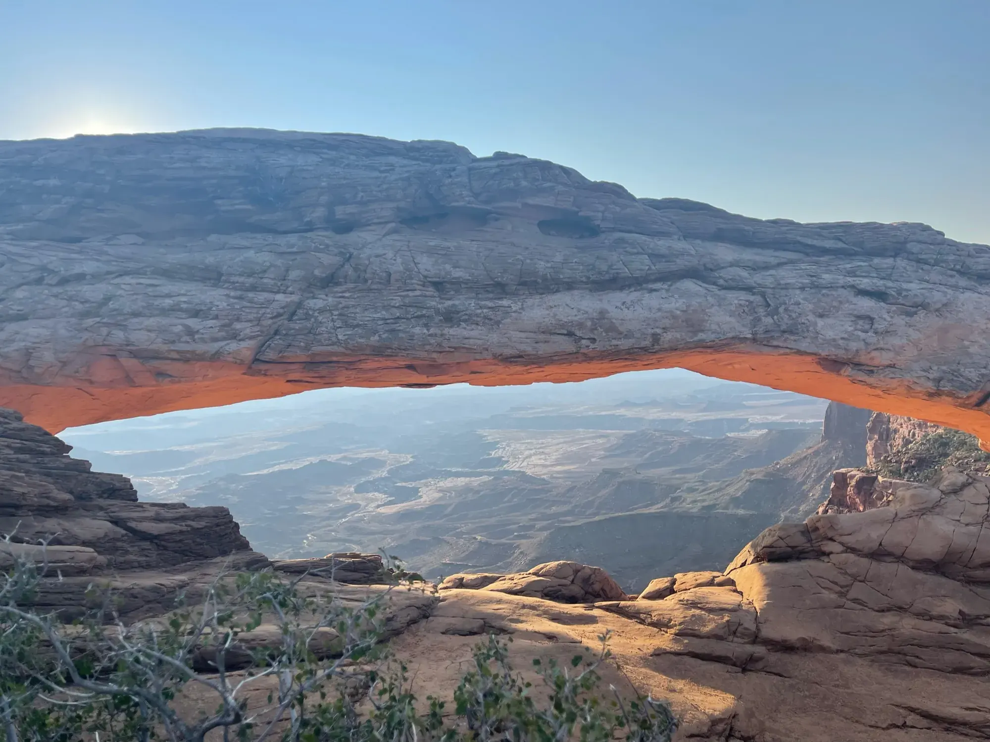
Chesler Park Viewpoint Trail
This popular trail leads to a pass overlooking a scenic expanse of desert grasses and shrubs surrounded by sandstone spires.
Canyonlands · Photo: David & Keri New
- 5.8 miDistance
- 533 ftElevation gain
- 3–4 hrTime
- StrenuousDifficulty
The numbers, with sources
Distance: 5.8 miles round trip Source
Gain: 533 feet overall elevation change. NPS says the total climbing is much greater. Source
Time: 3–4 hours Source
Difficulty: Strenuous Source
Trailhead: Use the signed trailhead named on the NPS trail page. Source
Route type: out-and-back Source
Built from official sources (checked Nov 3, 2026). Confirm current conditions with the park.
Recreation.gov permits, entrances & campgrounds
Recreation.gov (RIDB). Booking records date not published. NPS guidance above takes precedence. A listing doesn’t mean you need a permit or that there’s space on your dates.
Park campground options (2)
These records belong to the park’s NPS recreation area. We haven’t checked how close these are to the trail, when they open or whether sites are free; check the map and the booking page.
Canyonlands National Park Needles District GROUP Campsites — Campground; RIDB reservable: yes. Season: not published in structured RIDB data. Recreation.gov (RIDB) source · Booking details
NPS reservation guidance: You may book group campsites up to six months in advance throughout the season: March 15 – November 15. NPS source
Canyonlands National Park Needles District Campground — Campground; RIDB reservable: yes. Season: not published in structured RIDB data. Recreation.gov (RIDB) source · Booking details
NPS reservation guidance: You may book individual campsites in Loop B up to six months in advance for nights between March 15 and November 15. Make reservations online here or by calling Recreation.gov at 1-877-444-6777. Loop A is available first come, first served only. Group sites are open March 15 through November 15. You may reserve these sites up to six months in advance. Group sites are closed in winter. NPS source
Route, junction by junction
Trailhead → Selected destination or loop
The published 533 feet is overall elevation change. NPS says the total climbing is much greater. So don’t read 533 feet as all the climbing you’ll do. Rough slopes and scrambling are part of the strenuous route description, independently of how the elevation number is labelled. Source
No elevation profile yet:
No elevation profile yet: we haven’t verified complete measurements for this route. Source
In-depth guide
Compiled from linked sources, checked Nov 2, 2026. Each paragraph links to its source.
Is this hike for you?
This popular trail in the Needles leads to a pass overlooking Chesler Park, an open spread of desert grasses and shrubs ringed by sandstone spires. It’s 5.8 miles (9.3 km) round trip, takes 3-4 hours, and the NPS rates it strenuous. It isn’t the longer Chesler Park Loop and Joint Trail, so don’t tack that on without planning for it. Source
The NPS lists 533 feet (162 m) of overall elevation change and says the total climb is much greater. The NPS doesn’t give that total. Source
The trail
Expect a rough, uneven trail with walking and scrambling on rocky slopes. In winter there may be snow or ice, and the NPS recommends traction devices. Source
Getting to the trailhead
The NPS page doesn’t say where to park or start. Get the current park map and find the signed trailhead before you set out, and sort out your ride back if you aren’t driving yourself. Source
Water and food
Bring water, 1 L per person per hour, plus snacks, sturdy footwear, a headlamp and a map, and be ready for sun, rain, heat or cold. The NPS doesn’t list water or restrooms along the trail, so carry everything for the way back too. Source
Kids, wheelchairs and dogs
The trail isn’t accessible to wheelchairs. The NPS doesn’t give an age guideline for kids; the scrambling is the part to think about. Dogs aren’t allowed on this trail. Service animals are allowed in national parks. Source
Permits and fees
The NPS page doesn’t mention a permit or reservation for this day hike. You still pay the park entrance fee; check the NPS fees page for current prices and passes. Source · Source 2
Before you go
The NPS doesn’t give a season for this trail, and we haven’t confirmed it’s open. Check current park alerts and the forecast, and read the signs at the trailhead. If you’re slower than planned, turn around sooner. Source · Source 2
Getting there and back
Check the official map for where the trail starts. Source
Return: Come back the way described above. Return along the same trail unless a separate transport plan has been confirmed. Source
Water
No complete route-specific drinking-water or restroom schedule confirmed. Carry water for the whole hike. Source
Hazards
Read the NPS trail page and current conditions before you go. Source
Season
Use current official conditions; activity season labels are not a guarantee of access. Source
Current trail conditions require a trip-date check. Source
Gear & rules
Follow current signs and closures, and treat any side trip as a separate decision. Source
Filling a gap in your kit? Compare these packing essentials on Amazon. Choose gear for your route, conditions and the park’s guidance.
As an Amazon Associate we earn from qualifying purchases. How this works
The NPS doesn’t publish a pet rule for this exact route. Confirm the applicable rule before bringing an animal. Source
Questions
Which route do these figures describe?
5.8 miles round trip This is the viewpoint route to a pass overlooking Chesler Park, not the longer Chesler Park Loop and Joint Trail. NPS currently gives 5.8 miles round trip. The endpoint is a view across desert grasses and shrubs enclosed by sandstone spires. Picking the viewpoint keeps you from tacking on the longer loop without meaning to. Source
Is the trail open right now?
No. NPS details as of Nov 3, 2026. Confirm current conditions and closures with NPS. Source
Is there a measured elevation profile?
No elevation profile yet: we haven’t verified a complete line for this route. Source
Alternatives
NPS recommends water at one liter per person per hour, along with snacks, sturdy footwear, a headlamp and a map. Prepare for sun, rain, heat or cold. Those supplies need to cover the return as well as reaching the pass. In winter, snow or ice can complicate the same rocky slopes; the park recommends traction devices. Source
More Canyonlands trail guides
- Mesa Arch Trail0.6 mi · Easy