Our favorite hike
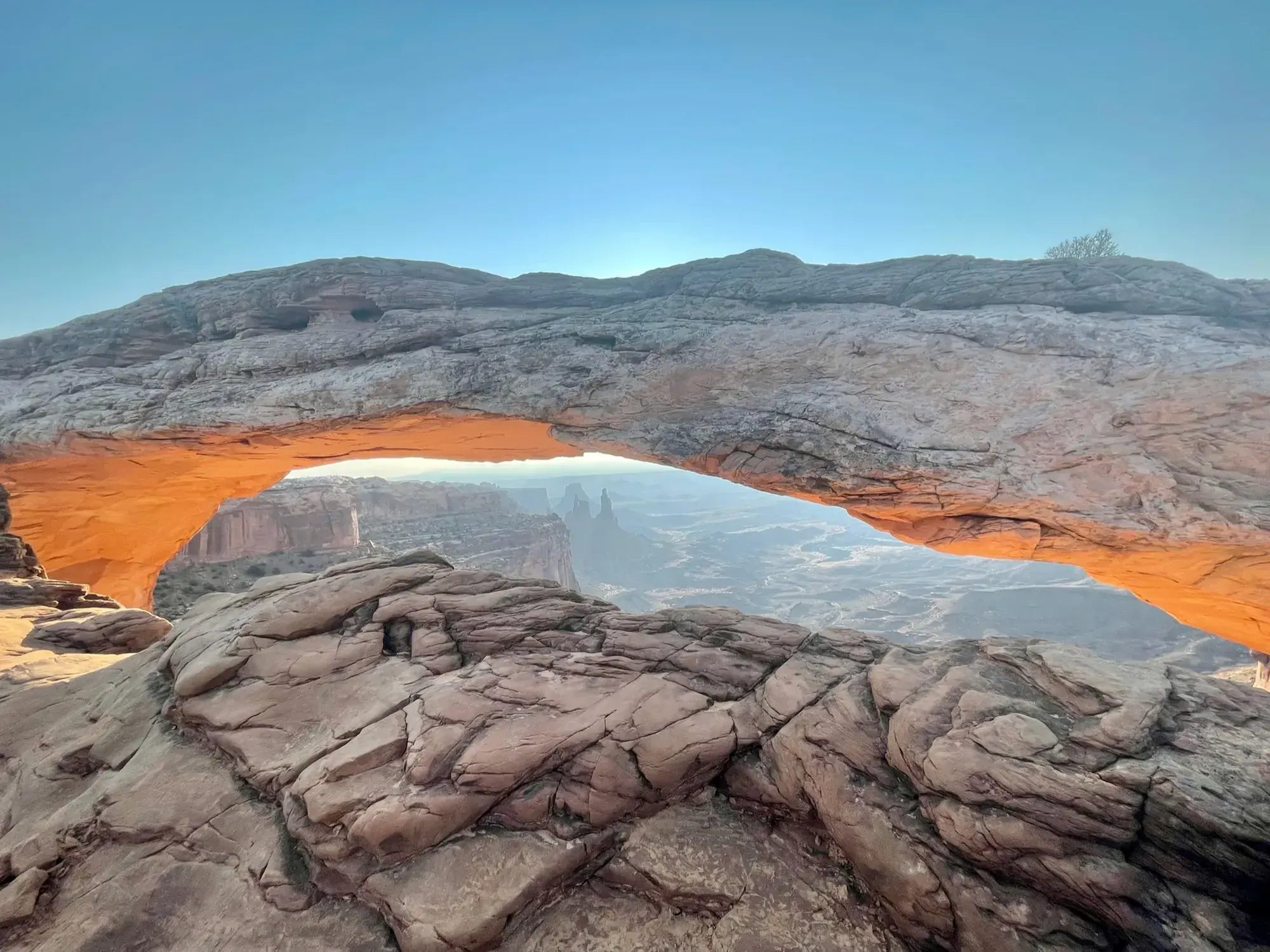
Mesa Arch
It’s a short, easy walk to an arch on the edge of a cliff that frames a huge view of the canyons below. At sunrise the underside glows orange.

Utah
Utah’s largest national park. The Green and Colorado rivers split it into separate districts with no roads between them: Island in the Sky, a mesa-top scenic drive 40 minutes from Moab; The Needles, with sandstone spires and backcountry trails; and The Maze, one of the most remote places in the Lower 48.
By David & Keri New, who have visited 63 of the 64 U.S. national parksUpdated
29Park 29 of our 63Visited Sep 2021
Saves this park and its trail guides on this device. Alerts and conditions are as of when you save; live maps and bookings need a connection.
NPS alertsAs of 6:03 AM ET, Nov 20
2 days is our starting point.
Give Island in the Sky one day for Mesa Arch and the mesa overlooks. Give The Needles its own day for the paved drive and shorter walks. Add Chesler Park Viewpoint only with a third day, suitable weather, and a usable trailhead approach.
Open the 3-day itineraryCanyonlands driving and districtsNPS hiking routes
Go to Island in the Sky, about 40 minutes from Moab. With two hours, NPS suggests Grand View Point, Green River Overlook and the short Mesa Arch loop. With one hour, drive to Grand View Point for a view across the park.
National Park Service guidanceNational Park Service guidance
Give Horseshoe Canyon’s Great Gallery its own day. NPS says the 7-mile round-trip hike takes five hours or more, and the drive is about 2.5 hours from Moab on dirt roads. After recent storms NPS recommends high-clearance 4WD, so check road conditions first.
If the Elephant Hill approach or the longer hike is unsuitable, stay in The Needles and use Pothole Point and the paved drive when open. If UT 211 itself closes, use Island in the Sky on a separate open approach instead of trying to connect the districts inside the park.
NPS road conditionsNPS hiking routesCanyonlands driving and districts
Moab for Island in the Sky or Monticello for a Needles start
Stay in Moab for a morning at Island in the Sky. Compare Monticello if The Needles gets the early start or a second day. If keeping one base, allow for a separate round trip on US 191 and UT 211 for The Needles.
Choose your district before booking nights. Check both road access and permit requirements separately before adding a backcountry drive. The standard paved overlooks and short walks fit a regular road-trip itinerary.
Canyonlands driving and districtsNPS road conditionsLodging and gateway towns
Visit each district separately; no road connects them inside the park. UT 313 off US 191 north of Moab leads to Island in the Sky. UT 211 off US 191 south of Moab leads to The Needles. There is no public transportation.
Our visit
September 2021
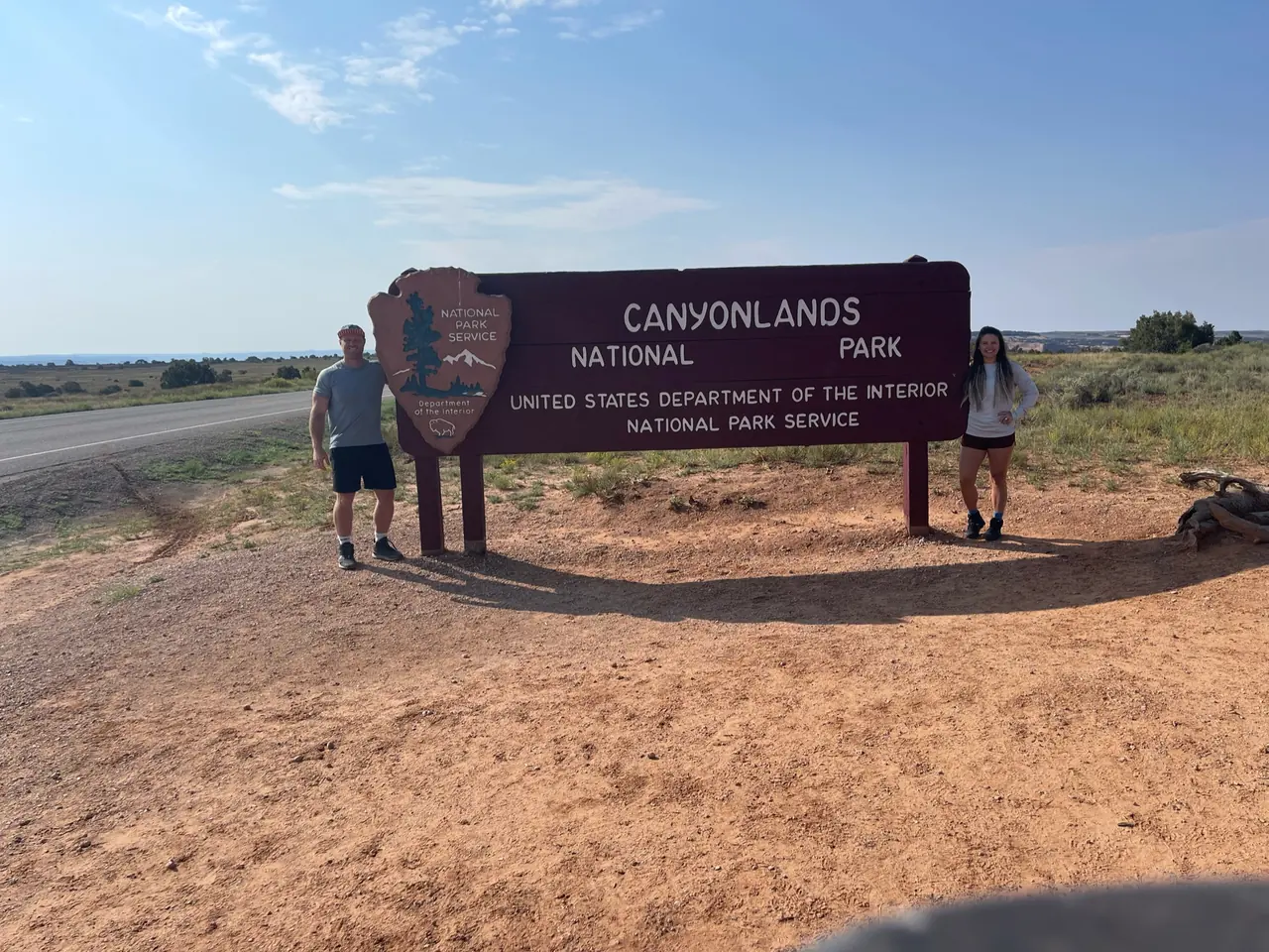
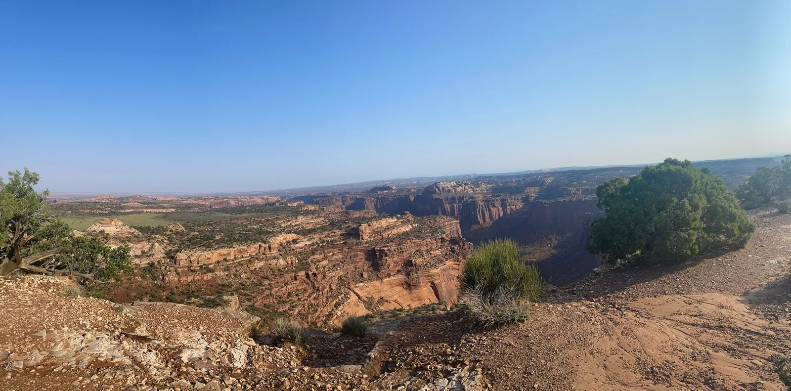
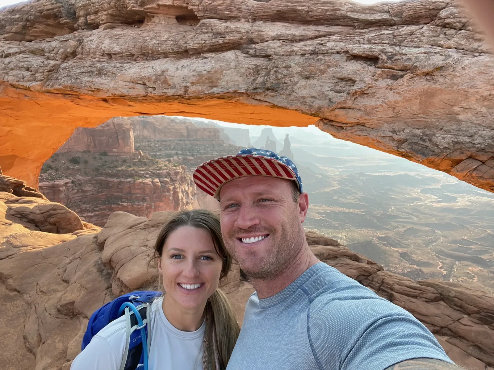
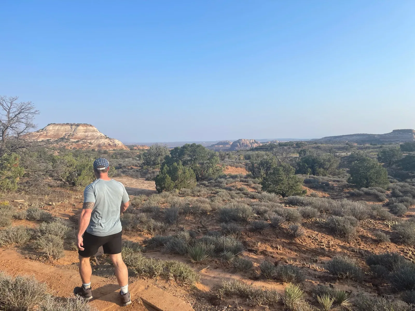
Why it’s on our list
Canyonlands offers some of the most expansive desert scenery in the American Southwest. The enormous network of canyons, mesas, and rugged rock formations stretches as far as the eye can see. While the overlooks are spectacular, many of the park’s best adventures require considerable time and effort to reach, making it a little less approachable than some of Utah’s other national parks.
Our favorite moment
Watching sunrise at Mesa Arch, overlooking the canyons from Grand View Point, and exploring the Needles District.
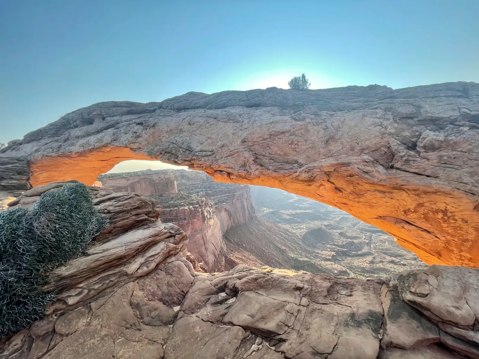
Photos by David & Keri New.
Firsthand · David & Keri New
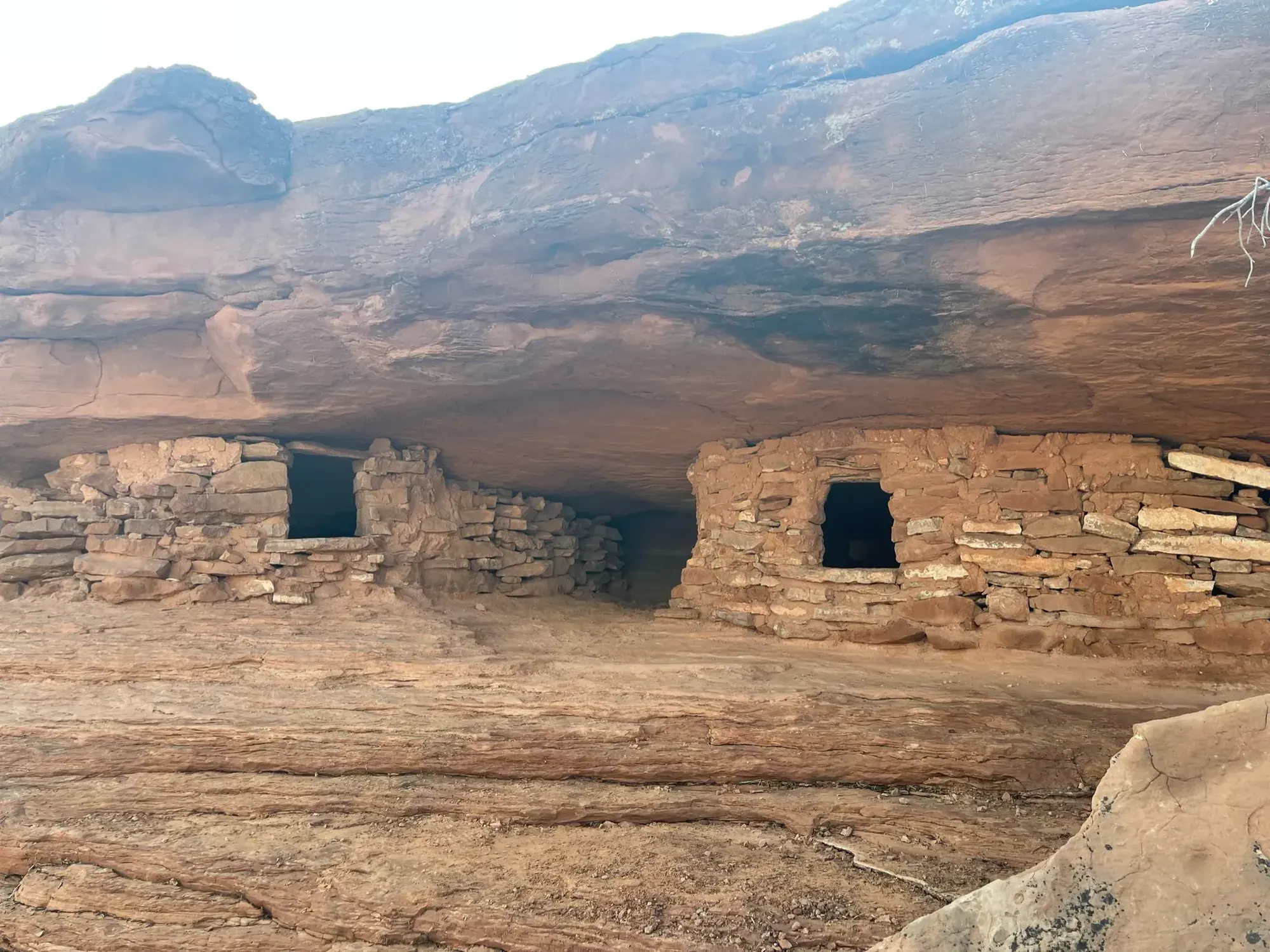
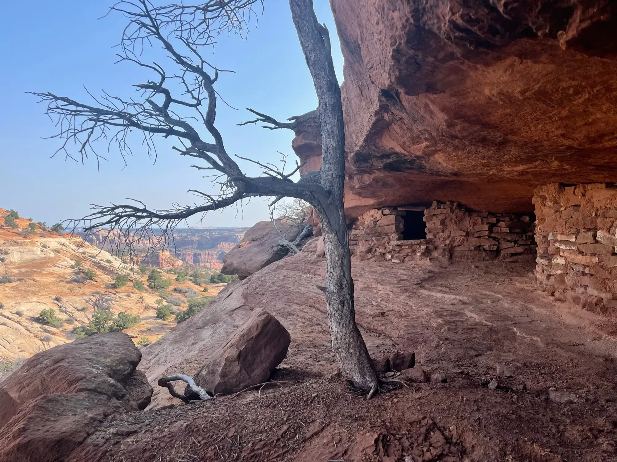
Canyonlands is huge, and the Green and Colorado rivers split it into districts. Island in the Sky is the one you can see in a day. We watched sunrise through Mesa Arch and found ancient stone granaries tucked under a sandstone ledge.
Mesa Arch
It’s a short, easy walk to an arch on the edge of a cliff that frames a huge view of the canyons below. At sunrise the underside glows orange.
For sunrise at Mesa Arch, show up well before first light, because photographers line up early. For sunset, Green River Overlook faces southwest, so arrive before the light changes and bring a layer for after dark.
The Needles district deserves its own day. It’s a long drive from Island in the Sky, and it has a completely different feel.
We rushed through Mesa Arch, Grand View Point and the Needles in a single day, and it wasn’t enough time.
In the Needles, we’d hike to the Chesler Park Viewpoint through the colorful sandstone spires.
Early September is still warm, but the worst of the summer heat is over. Labor Day weekend does bring more people. It was clear for us, with some haze.
Dead Horse Point State Park is right next to Island in the Sky and has one of the best overlooks in Utah. Moab is the base town, under an hour away. Moab is our favorite getaway town. Riding ATVs at nighttime and all through the town was so much fun.
Best time
April, October
April and October best, May/September close. June-August hot with monsoon flash floods. December-February cold, icy 4WD roads, Needles VC closed.
Month by monthFor a Needles hike, our pick is the Chesler Park Loop / Joint Trail: 10.7 miles round trip, 5 to 7 hours and strenuous, past sandstone spires and through the Joint Trail’s narrow fractures. Chesler Park Viewpoint, 5.8 miles round trip, is the shorter option. Last verified · nps.gov
Itineraries
1 day
2 daysOur pick
Optional day 3 · The Needles
Compare the 1- and 2-day plans, day by day →
Map
4 visitor centers and 1 of the 4 campgrounds on a map you can zoom and drag. Map data loads from OpenStreetMap when you tap.
Visitor centerCampground Roads and trails are community-mapped; check closures with the park.
Locations from the NPS visitor-center listing, checked Nov 13, 2026. Hours and what each one has
Locations from Recreation.gov, checked Nov 7, 2026. Not on this map: Island in the Sky (Willow Flat), The Needles and Needles group campsites (no Recreation.gov location in our data). Compare all 4 campgrounds
Trails
0.6 mi
A cliff-edge arch and a classic sunrise spot.
Loop · About 30 minutes
Start: Mesa Arch Trailhead
0.6 mi
The second overlook adds 1 mi and 50 ft.
Out and back · About 1 hour
Start: Upheaval Dome Trailhead
0.6 mi
Historic cowboy camp and rock art; two ladders.
Loop · About 45 minutes
Start: Cave Spring Trailhead
1.4 mi
Slickrock scrambling to ancestral Puebloan granaries. Don’t touch or enter the structures.
Trail network · About 1.5 hours
Start: Aztec Butte Trailhead
1.8 mi
Follows the canyon rim at the end of the scenic drive. See the construction entry for the past 2026 closures and pending 2027 schedule.
Out and back · About 1.5 hours
Start: Grand View Point, at the southern end of the Island in the Sky scenic drive.
1.8 mi
Views of Monument Basin. Best in late afternoon; very little parking.
Out and back · About 1.5 hours
Start: White Rim Overlook Trailhead
5.8 mi
A popular pass overlooking grasslands ringed by spires.
Out and back · About 3-4 hours
Start: Elephant Hill Trailhead
7 mi
Life-sized rock-art figures. In summer, finish before noon or start after 4 pm, and carry 1 gallon of water per person.
Out and back · About 5 hours or more
Start: West rim trailhead; graded dirt roads from UT 24 or Green River. Check road conditions.
8.1 mi
Most park rescues happen on this trail. Go clockwise for afternoon shade and carry extra water.
Loop · About 5-7 hours
Start: Upheaval Dome Trailhead
10.8 mi
Deep sand and loose rock in Elephant Canyon; the upper section is steep with one ladder and scrambling. The dedicated NPS trail page describes the final 1.25 mi as steep.
Out and back · About 5-7 hours
Start: Elephant Hill Trailhead
Distances, gains and difficulty as NPS publishes them; the bar shows the published distance, dashed where a longer option exists.
Camping
Fees, permits & rules
Last verified · nps.gov All Canyonlands fees, permits and booking deadlines →
In 2026, Grand View Point Overlook, its trail and 0.3 mi of road closed from 6 am Monday to 4 pm Thursday each week July 27-Aug 27. The final phase is scheduled for July-September 2027; exact dates and the weekly closure pattern are not announced yet (NPS, checked Nov 1, 2026).
Last verified · Grand View Point Construction (NPS)NPS district report dated Oct 24, 2026, rechecked Nov 1: both roads are open, but travel is not recommended on Mineral Bottom or the west White Rim because of muddy, slick conditions. Confirm current conditions with the district visitor center before driving.
Last verified · Road conditions (NPS, page updated Oct 30, 2026; checked Nov 1)Every vehicle, motorcycle and bike needs a permit for White Rim Road, Elephant Hill, Lavender Canyon and Peekaboo/Horse Canyon roads. Permits go online at 8 am MT the day before ($6 Recreation.gov fee) or are free in person on the day. White Rim allows 50 vehicles and 50 bikes a day, and 25 of the vehicle permits are held for in-person issue. No permit is needed for Shafer Trail or Potash Road.
Last verified · Day-use permits (NPS)Climbing, standing on or rappelling off any arch is prohibited. Unmanned aircraft are prohibited. ATVs, UTVs and OHVs aren’t allowed on any park road, even if street-legal.
Last verified · White Rim Road (NPS)Email me this guide Get a link to the Canyonlands guide in your inbox, to open again when you plan or before you go.
One email with the link. We don’t add you to any list unless you tick the box.
Historical recreation visits · 2021–2025 · as of Nov 3, 2026. Visits count entries, not unique people, parking spaces or trail crowding.
Busiest by average count: May. Quietest: Jan. Each bar is that month’s average visits across 5 years; unusual years and reported zeros are included. Past visits can’t tell you the best time of day to arrive.
Every month’s visits and NOAA weather, with the counts for each year →
NPS Visitor Use Statistics: monthly report · NPS monthly data · checked Nov 3, 2026; latest included year 2025.
Plan your visit
For any park: passes and free entrance days · what to pack · visiting with kids · stargazing
Getting there and park logistics →
Find a place to stay near Canyonlands → See camping and backup options for this park. Base town: Moab, UT.
How this page is made. The section “What we’d tell a friend” is ours. Our recorded visits to Canyonlands include September 2021.Planning information, including any fees, permits, closures, weather and crowd figures shown here, is compiled from the National Park Service, Recreation.gov and other public sources, and each fact shows the date we last checked it. If something is wrong, tell us and we’ll log the fix on our corrections page.