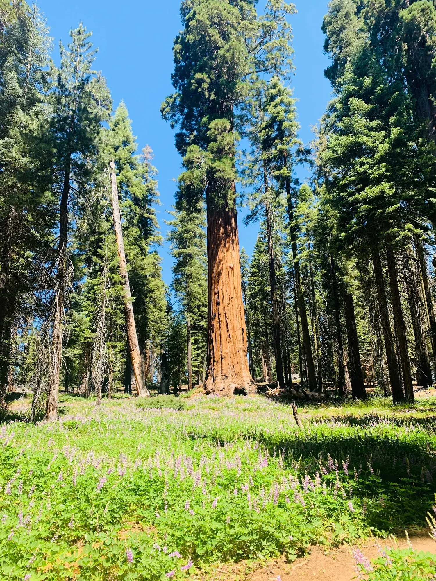
Tokopah Falls Trail
The Tokopah Falls Trail is great place to see the “classic” Sierra Nevada landscape. Sheer granite cliffs, a dense conifer forest, and a rushing river create a peaceful mountain scene.
Sequoia · Photo: David & Keri New
- 3.4 miDistance
- 1–2 hrTime
- EasyDifficulty
The numbers, with sources
Distance: 3.4 miles out and back Source
Gain: The NPS doesn’t publish the elevation gain. Source
Time: 1–2 hours Source
Difficulty: Uneven, rocky, unpaved trail Source
Trailhead: Parking for the trail is located next to Lodgepole Campground in the overflow lot. Walk a short distance on the paved road to the trailhead. Source
Route type: out-and-back Source
Built from official sources (checked Nov 3, 2026). Confirm current conditions with the park.
Recreation.gov permits, entrances & campgrounds
Recreation.gov (RIDB). Booking records date not published. NPS guidance above takes precedence. A listing doesn’t mean you need a permit or that there’s space on your dates.
Route, junction by junction
Trailhead → Selected destination or loop
Use the overflow parking next to Lodgepole Campground. NPS explicitly says there is no parking at the trailhead itself. Walk the paved campground road toward the bridge and locate the signed trail beyond it. The parking approach is separate from assumptions about where a map pin marks the actual start of the dirt trail. Source
No elevation profile yet:
No elevation profile yet: we haven’t verified complete measurements for this route. Source
In-depth guide
Compiled from linked sources, checked Nov 2, 2026. Each paragraph links to its source.
Is this hike for you?
The Tokopah Falls Trail climbs gently along the Marble Fork of the Kaweah River, below granite cliffs, to a cascading waterfall. It’s 3.4 miles (5.5 km) out and back and takes 1-2 hours. Gentle doesn’t mean smooth: it’s an unpaved dirt trail with uneven, rocky ground. The NPS doesn’t publish an elevation gain. Source
The trail
The trail starts in Lodgepole Campground. Go past the entrance kiosk to the bridge just past the overflow parking lot; the trailhead is just beyond the bridge. At the falls, look for yellow-bellied marmots sunning on the rocks. Come back the same way, and turn around sooner if the group is tired. Source
Getting to the trailhead
There’s no parking at the trailhead. Park in the overflow lot next to Lodgepole Campground and walk a short way along the paved campground road to the bridge and the signed trail. Source
In summer the free Sequoia Shuttle stops at Lodgepole: the Green Route (Giant Forest) and Purple Route (Lodgepole/Wuksachi/Dorst Campground). From the stop, walk toward the log bridge. Check that the shuttle is running before you count on it for the ride back. Source
Dogs, permits and fees
No reservation is needed for this hike. The NPS doesn’t publish a pet rule for this trail, so check the park’s pet rules before you bring a dog. Source
Check the NPS fees page for the park entrance fee. Source
Water and restrooms
There are restrooms at the overflow parking lot. The NPS doesn’t list drinking water on the trail, so bring what you need for the round trip. Source
Kids, strollers and wheelchairs
The overflow lot is paved, with accessible parking spaces near the restrooms, and the walk to the trailhead is on a paved road. The trail itself is unpaved dirt with uneven, rocky ground. The NPS gives no minimum age. Source
Before you go
The NPS lists the hike for Spring, Summer and Fall. Spring and early summer are the best time, with wildflowers and snowmelt pouring over the falls, though the flow on any given day isn’t guaranteed. Check the forecast and the park’s current alerts before you go. Source
When we checked, hazard-tree removal on Generals Highway between Highway 180 and Giant Forest was causing weekday delays from 8 a.m. to 5 p.m., up to 30 minutes at each work site, with none on federal holidays. Source
Elevation profile
There’s no elevation profile yet: we haven’t verified complete measurements for this route. Source · Source 2 · Source 3
Sources & planning limits
Reviewed 2026-11-03. Check current conditions for your trip dates.
- NPS alert, November 3, 2026: hazard-tree removal on Generals Highway between Highway 180 and Giant Forest. Expect weekday delays from 8 a.m. to 5 p.m., up to 30 minutes at each work site; no delays on federal holidays. Check current alerts before you go. Source
- No elevation profile yet: we haven’t verified complete measurements for this route. Source
- NPS details are as of the date shown. Confirm access, services and reservations for your travel date. Source
Getting there and back
Parking for the trail is located next to Lodgepole Campground in the overflow lot. Walk a short distance on the paved road to the trailhead. Source
Return: Come back the way described above. Return along the same trail unless a separate transport plan has been confirmed. Source
Water
No complete route-specific drinking-water or restroom schedule confirmed. Carry water for the whole hike. Source
Hazards
There is no parking at the trailhead. Parking is located next to the Lodgepole Campground in the overflow lot. This parking area is paved, and has accessible parking spaces near the restrooms. The trailhead is a short distance from the parking area on a paved road. The trail is unpaved dirt, and contains uneven and rocky terrain. Source
Season
Use current official conditions; activity season labels are not a guarantee of access. Source
Current trail conditions require a trip-date check. Source
Gear & rules
Follow current signs and closures, and treat any side trip as a separate decision. Source
Filling a gap in your kit? Compare these packing essentials on Amazon. Choose gear for your route, conditions and the park’s guidance.
As an Amazon Associate we earn from qualifying purchases. How this works
The NPS doesn’t publish a pet rule for this exact route. Confirm the applicable rule before bringing an animal. Source
Questions
Which route do these figures describe?
3.4 miles out and back Tokopah Falls follows the Marble Fork of the Kaweah River into a granite-walled valley. The 3.4 miles is the full out-and-back hike, per the NPS. The source describes a gentle climb but also uneven, rocky dirt, so a generally gradual route should not be confused with a smooth paved path. Source
Is the trail open right now?
No. NPS details as of Nov 3, 2026. Confirm current conditions and closures with NPS. Source
Is there a measured elevation profile?
Elevation profile omitted: No matching official trail geometry returned in the NPS Public Trails park query. Source
Alternatives
Spring and early summer are the seasons highlighted for snowmelt flow and wildflowers. That is a seasonal description rather than a guarantee of water volume on a particular day. Check the summer shuttle routes before counting on one for the trip back. You can always turn around early on the same trail, but that’s your call, not a separate mapped loop. Source
Camp near Tokopah Falls Trail
Closest campgrounds by drive time to Tokopah Falls Trailhead:
- 1 min Lodgepole (0.2 mi, in the park)
- 19 min Dorst Creek (9.4 mi, in the park)
- 25 min Stony Creek Sequoia ↗ (13.4 mi, USDA Forest Service)
- 25 min Upper Stony Creek Campground ↗ (13.4 mi, USDA Forest Service)
- 46 min Buckeye Flat (16.3 mi, in the park)
Driving time with no traffic (OSRM, OpenStreetMap roads). Some park roads are shuttle-only in season. All camping near Sequoia
More Sequoia trail guides
- Moro Rock Stairway0.25 mi · Strenuous