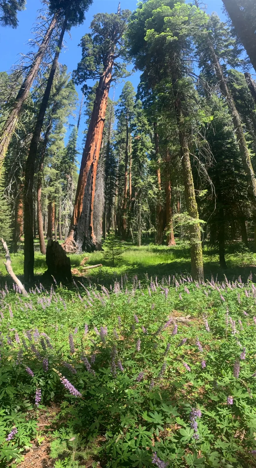
Giant sequoias beside the grass at Round Meadow in Sequoia National Park

California

Sequoia National Park Guide

Southern Sierra Nevada park, run jointly with Kings Canyon, home to the Giant Forest and the General Sherman Tree, with a road that climbs from foothills to high sequoia groves.

By David & Keri New, who have visited 63 of the 64 U.S. national parksUpdated

Park 6 of our 63Visited Jul 2020

Your trip planner

Add Sequoia to a trip

Choose a saved trip or start a new draft for this park.

Saves this park and its trail guides on this device. Alerts and conditions are as of when you save; live maps and bookings need a connection.

Photo: David & Keri New

NPS alertsAs of 6:03 AM ET, Nov 20

Some Side Roads Closed Due to Winter Storm Impacts

  • Portion of Generals Highway Temporarily Closed Due to Storm Impacts
  • Mineral King Road in Sequoia National Park Is Closed for the Season

Plan your first trip to Sequoia

3 days is our starting point.

Use day one for General Sherman and the Congress Trail. Save Moro Rock and Crescent Meadow for day two so you can use the shuttle if vehicles are restricted. Add Tokopah Falls or a confirmed Crystal Cave tour on day three.

Open the 3-day itinerarySequoia shuttle routes and schedulesSequoia and Kings Canyon road information

Starts a new draft and keeps your saved trips. Set a custom duration in the full planner.

How many days?

1 day
  1. General Sherman Tree and Congress Trail

With a few hours, see the General Sherman Tree, then walk the 0.75-mile Big Trees Trail from Giant Forest Museum. Chains must be carried on the Generals Highway now. If the main Sherman lot is closed by snow, use the accessible parking on the highway.

National Park Service guidanceNPS road conditionsCurrent park conditions

Open this day plan
3 days · our pick
  1. General Sherman Tree and Congress Trail
  2. Moro Rock and Crescent Meadow
  3. Tokopah Falls or a seasonal alternative
Open this day plan
Compare all trip lengths
Optional add-on

Drive north to the General Grant Tree in Kings Canyon, a 0.5-mile loop near Kings Canyon Visitor Center. Some Grant Grove trails are closed after a prescribed burn. The highway from Lodgepole is unplowed from the Friday after January 1 to the third Friday in March.

National Park Service guidanceSequoia and Kings Canyon road informationCurrent park conditions

If plans change

If Giant Forest is inaccessible from your side and Highway 198 is open in the Foothills, switch to Foothills Visitor Center and Hospital Rock when those stops are open. Check the road again before moving up to the groves on a later day.

NPS park conditionsSequoia and Kings Canyon road informationCurrent park conditions

Check what’s open

Where to base yourself

Three Rivers for Highway 198 or Lodgepole and Wuksachi for the high country

Three Rivers is a useful base for the Foothills and the south entrance. Consider an open in-park stay when your first two days are in Giant Forest. If arriving in a long vehicle, check the Highway 198 length advisory and the Highway 180 approach before choosing a base.

Lodging and gateway townsSequoia and Kings Canyon road information

Compare stays and access

Before you book

Check whether Crystal Cave tours are operating and reserve with the conservancy before planning a day around the cave. If tours are unavailable, keep Tokopah Falls as the third-day option when the trail is suitable. If your day depends on Moro Rock or Crescent Meadow, check whether you will need the park shuttle and when it runs.

Crystal Cave tour availabilitySequoia and Kings Canyon road informationSequoia shuttle routes and schedulesOpen the 3-day itinerary

Getting there and getting around

Highway 198 enters at Ash Mountain in Three Rivers. Highway 180 from Fresno enters Kings Canyon at Big Stump and is the preferred route for longer vehicles. There is no gas in the parks, and chains may be required any time it snows.

NPS directionsSequoia and Kings Canyon road information

Our visit

Park 6 of our 63

Where Sequoia ranks in our 63

July 2020

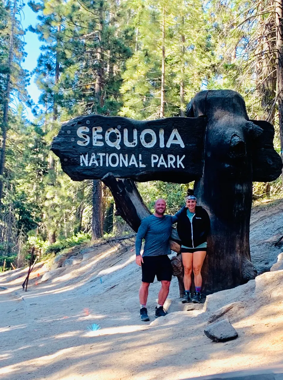
David and Keri at the Sequoia entrance sign
We were hereJul 8, 2020
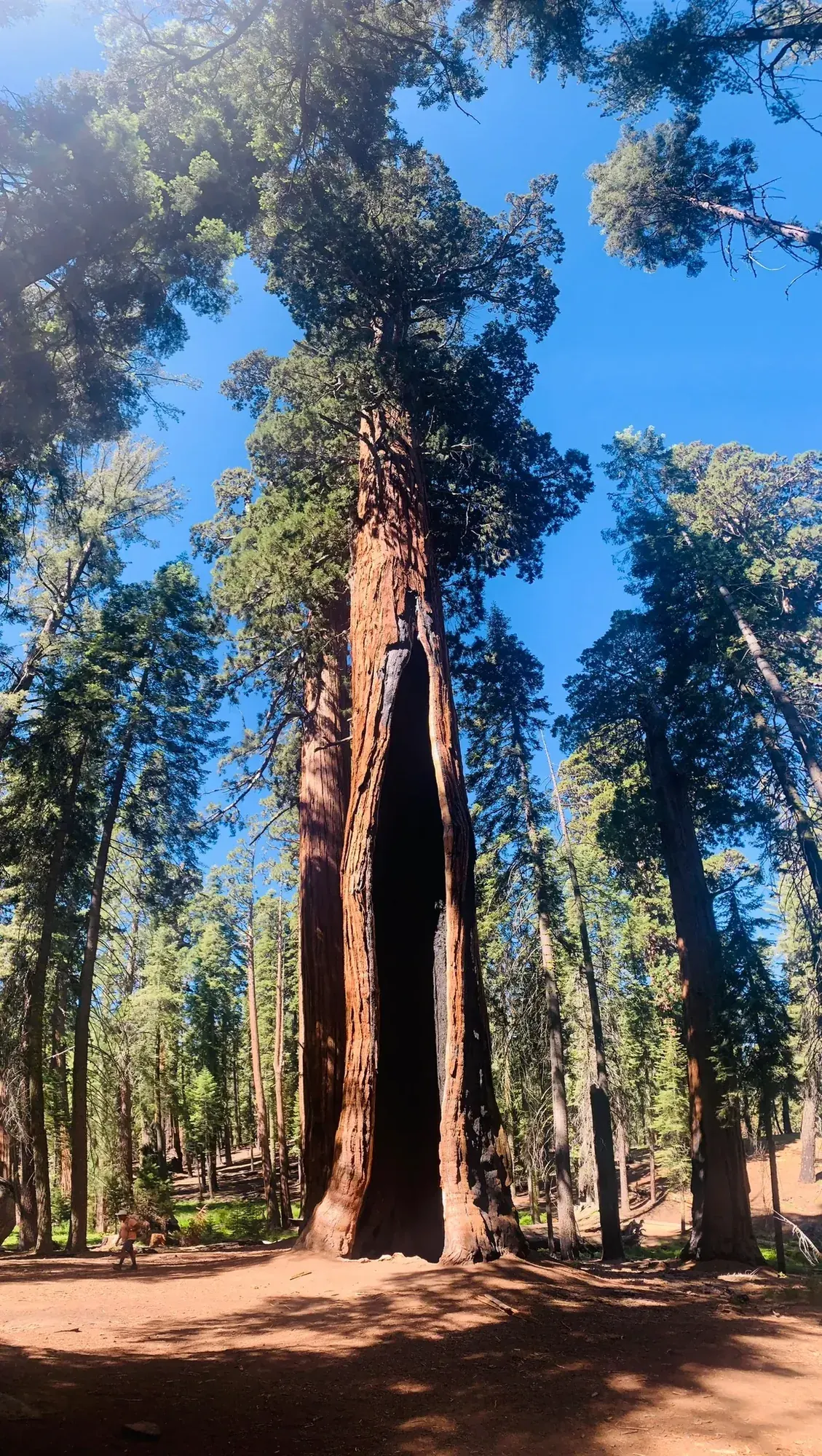
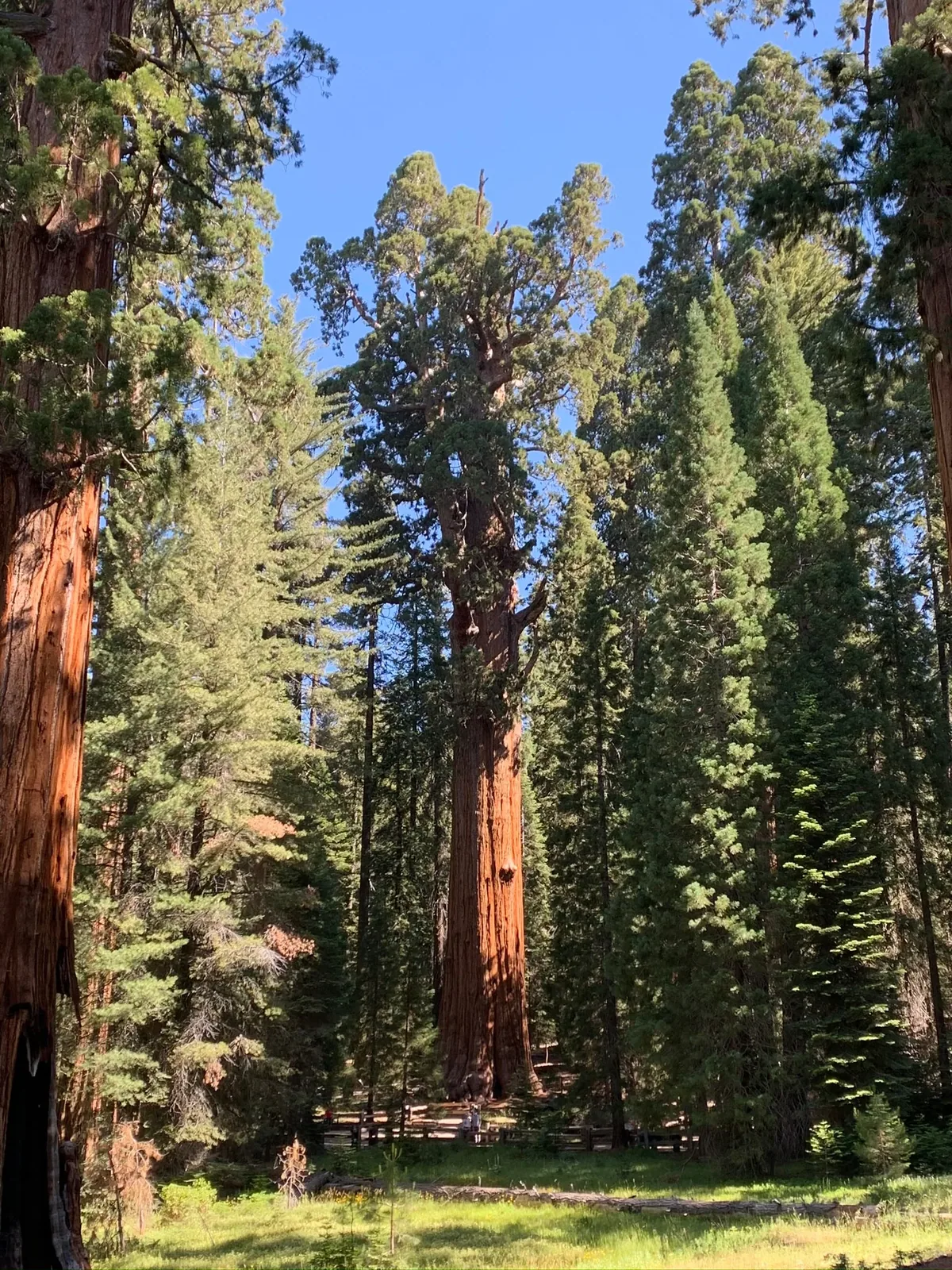
A giant sequoia’s red trunk rises among tall conifers in a sunny grove in Sequoia National Park
Red bark catching the sun in Sequoia’s Giant Forest. · Jul 8, 2020
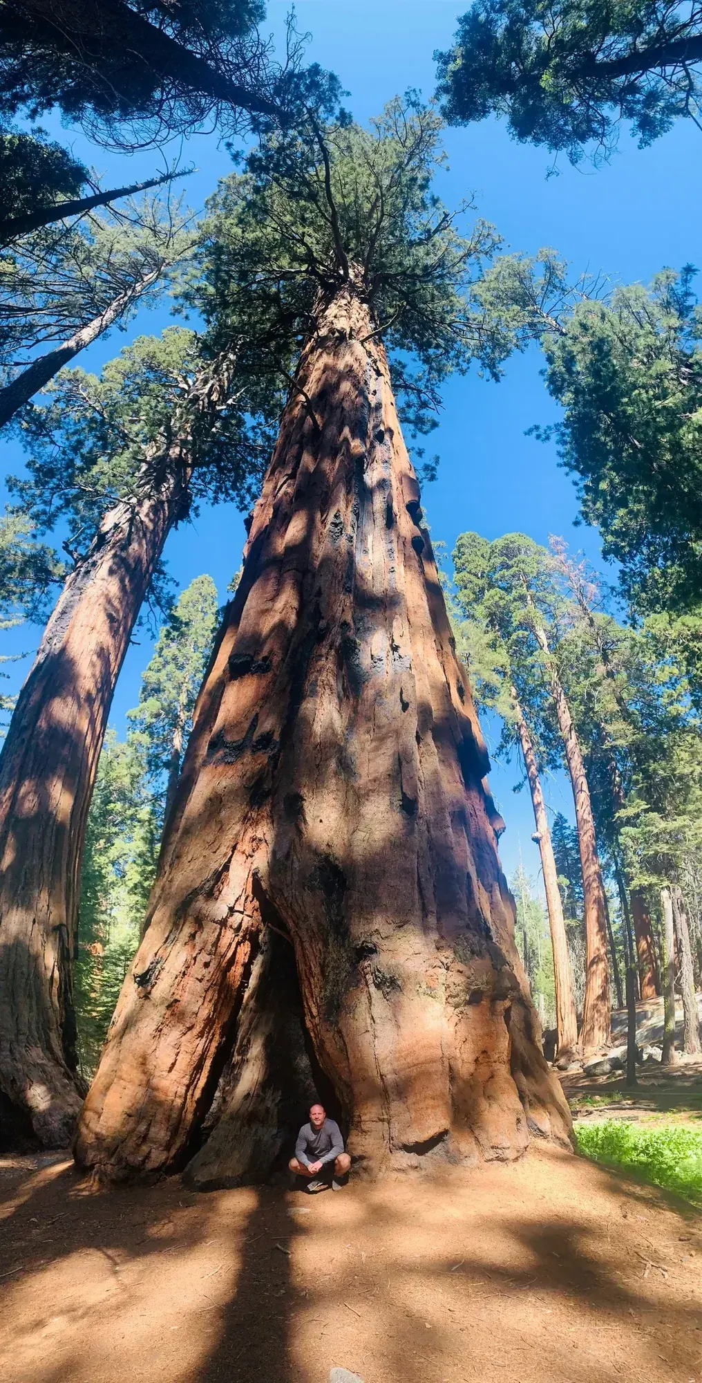
Looking up the massive furrowed trunk of a giant sequoia against a blue sky in Sequoia National Park
Looking straight up from the base of a giant sequoia. · Jul 8, 2020
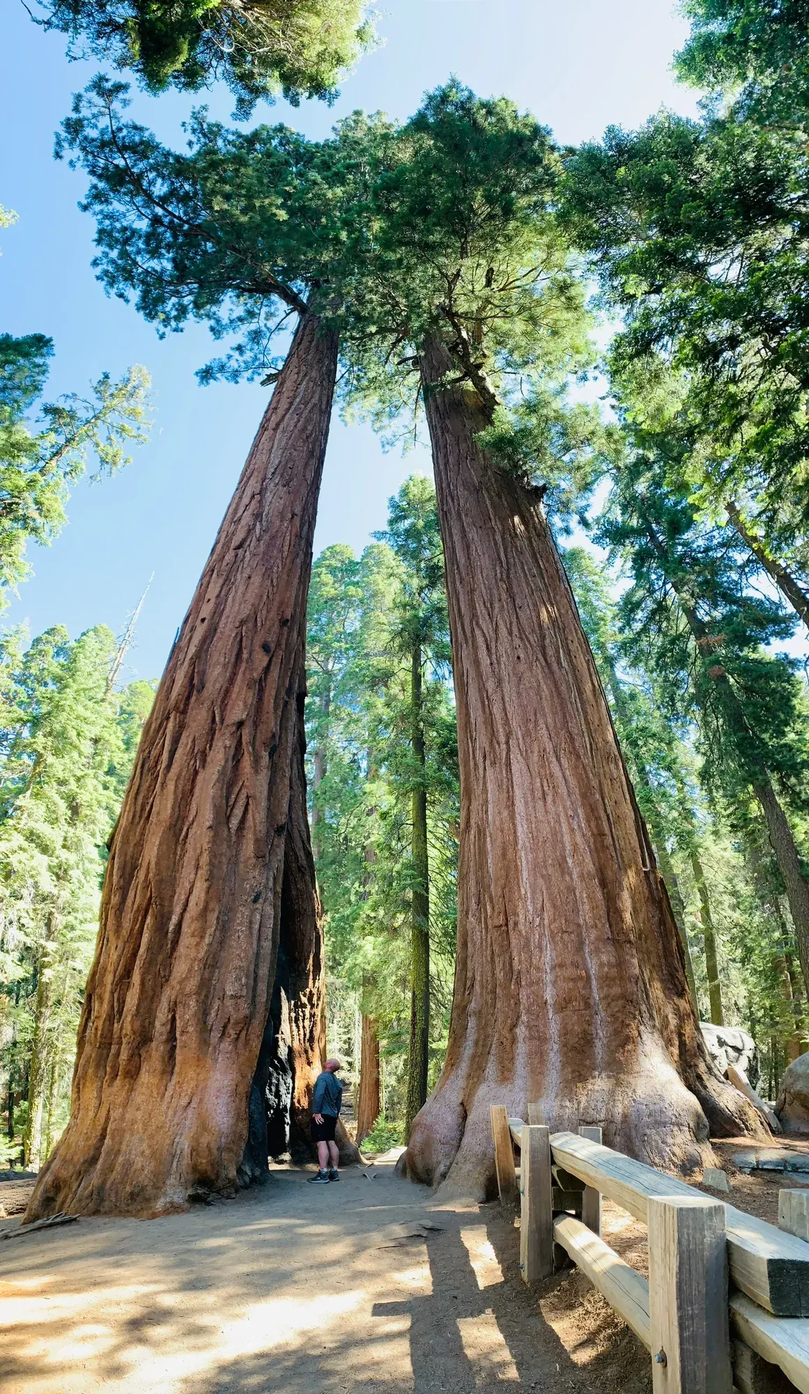
Two giant sequoias rise over a path and wooden railing in the General Sherman Tree area
Two sequoias towering over the walkway near the General Sherman Tree. · Jul 8, 2020
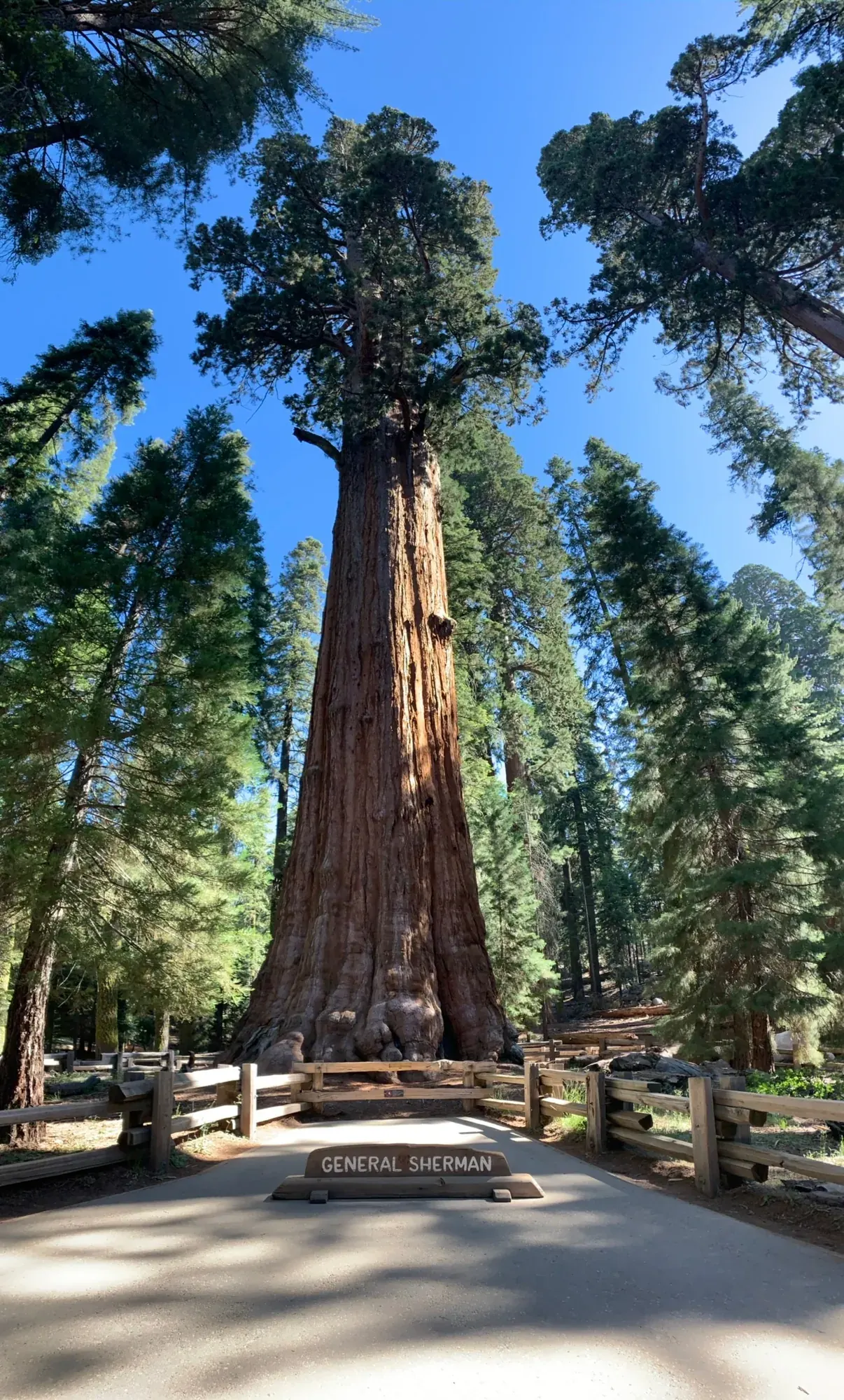
The General Sherman Tree rises above a wooden fence in Sequoia National Park
Looking up at the General Sherman Tree from behind the fence. · Jul 8, 2020
Sunlit sequoia trunks border an open green patch in the forest
A green opening in the grove with tall sequoias all around. · Jul 8, 2020
Giant trunk in Sequoia
One of the red trunks standing out against the other trees. · Jul 8, 2020

Why it’s on our list

Sequoia is home to some of the largest trees on the planet, and seeing them in person is absolutely mind-blowing. The massive trunks, beautiful mountain landscapes, and peaceful forest trails make this park an unforgettable experience.

Our favorite moment

Standing beside the General Sherman Tree and walking the Congress Trail.

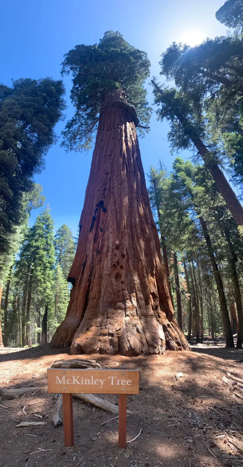
A wooden sign names the McKinley Tree at the foot of a broad giant sequoia trunk
The McKinley Tree in Sequoia’s Giant Forest. · Jul 8, 2020
See all 13 photos and videos
When we went
July 2020

Photos by David & Keri New.

Firsthand · David & Keri New

What we’d tell a friend about Sequoia

The biggest trees on earth live in Sequoia, and standing at the base of one makes you feel tiny. We came the day after Kings Canyon. The two parks together make one great trip. We saw General Sherman and drove Generals Highway, and also did Congress Trail, which was my favorite.

  • Jul 8, 2020 · Day trip
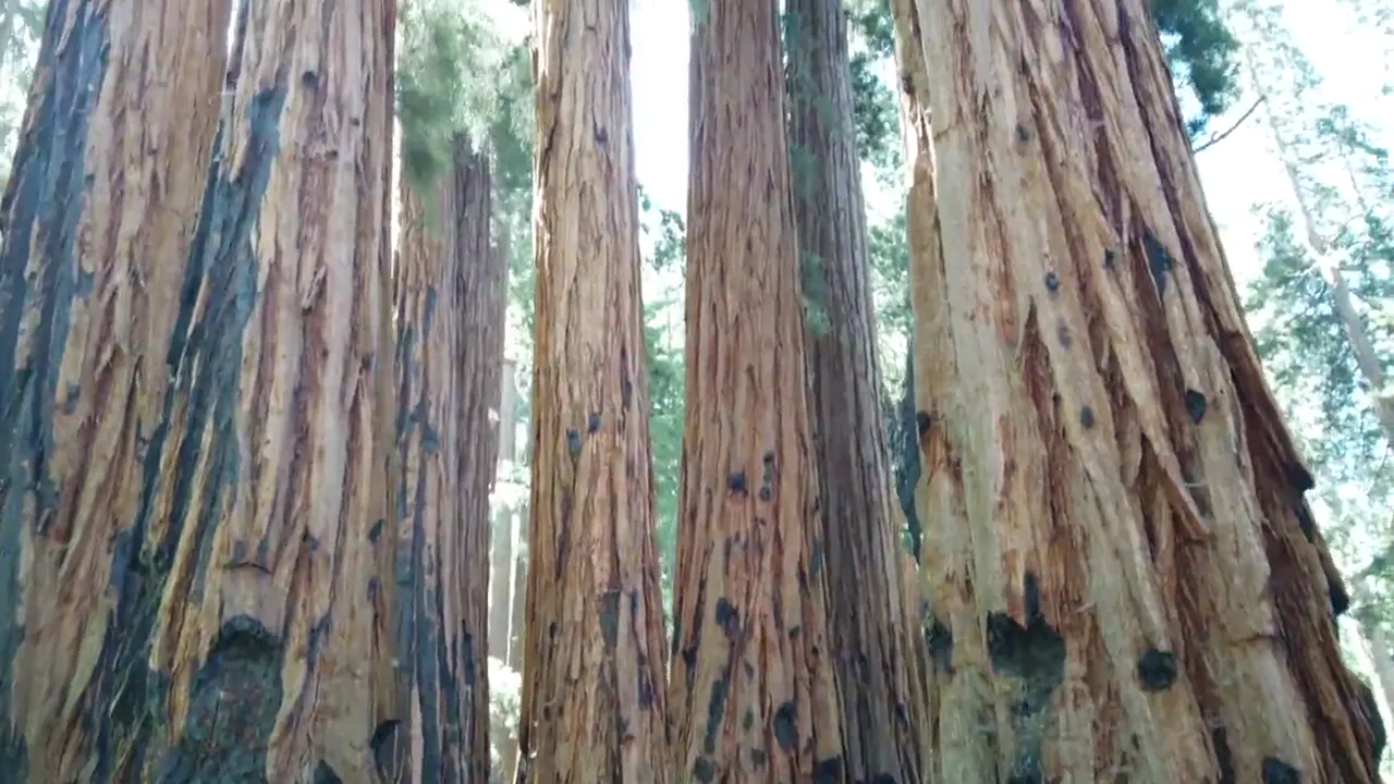
The view tilts up the huge red trunks of a group of giant sequoias
Looking up the giant sequoias · our video
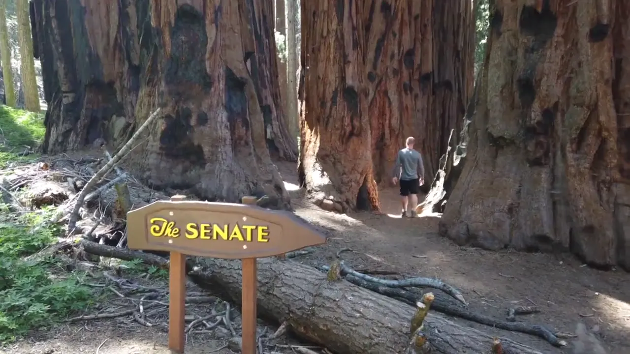
A sign marks the Senate group of giant sequoias
The Senate group · our video
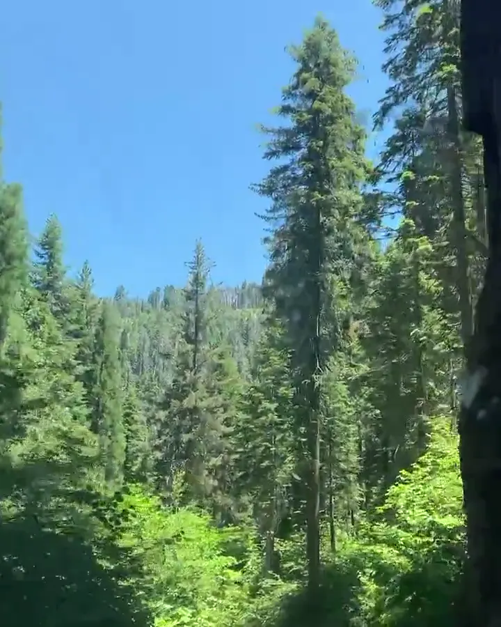
Giant sequoias and pines line the road through the forest
Into the sequoia forest · our video
See all 13 photos and videos

Our favorite hike

Congress Trail

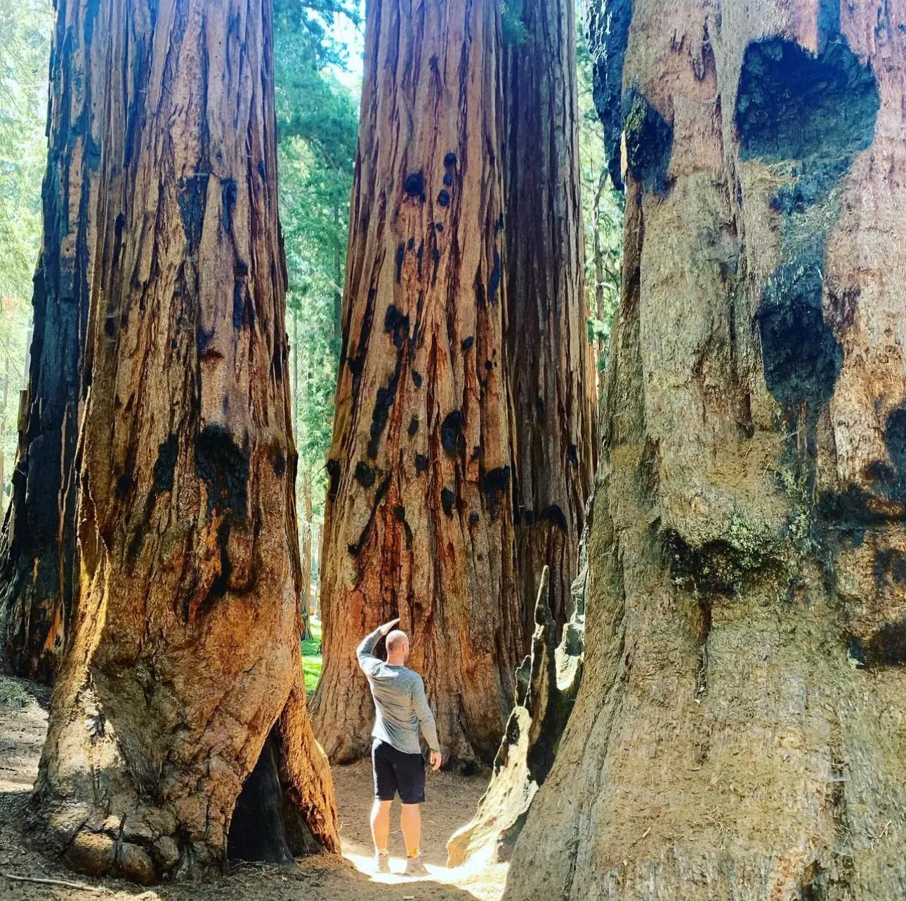
It starts at the General Sherman Tree and loops through the Senate and House groups, where the sequoias stand in clusters you can walk right between. The path is easy and mostly paved, and it gets you in among the big trees and away from the crowd at Sherman.
Our one tip

If you’re in an RV or pulling a trailer, come in through Kings Canyon on Highway 180. The Generals Highway up from the Foothills entrance is steep with tight hairpin turns, and the park advises against vehicles over 22 feet on that stretch.

What we’d do differently

Looking back, we should have stayed a night in the park so we could be on top of Moro Rock at sunset.

With one more day

Three things: the Moro Rock stairway, a walk around Crescent Meadow, and the hike to Tokopah Falls from Lodgepole.

Was it a good time to go?

Around the General Sherman Tree, early July is peak season. The groves were green, the meadows were full of lupine, and we had blue sky overhead. Up in the Giant Forest it’s much cooler than the valley below.

In town

Three Rivers is the small river town right outside the Ash Mountain entrance. Reimer’s Candies there is a long-time stop for ice cream and fudge.

Entry and best time to visit

Entry

No entry reservation required

You still need an entrance pass: $35 per vehicle, good for 7 days.

Fees and permits

Best time

September

September is best. June and early October are good. Winter brings chains and closures. Mineral King opens seasonally.

Month by month

Live conditions and planning tools →

Itineraries

How many days in Sequoia?

  • 1 day

    1. Day 1 General Sherman Tree and Congress Trail
    Full 1-day plan
  • 2 days

    1. Day 1 General Sherman Tree and Congress Trail
    2. Day 2 Moro Rock and Crescent Meadow
    Full 2-day plan
  • 3 daysOur pick

    1. Day 1 General Sherman Tree and Congress Trail
    2. Day 2 Moro Rock and Crescent Meadow
    3. Day 3 Tokopah Falls or a seasonal alternative
    Full 3-day plan

Sequoia itinerary: every day stop by stop, with sources

Compare the 1-, 2- and 3-day plans, day by day →

Map

Where things are in Sequoia

6 visitor centers and 15 of the 16 campgrounds on a map you can zoom and drag. Map data loads from OpenStreetMap when you tap.

Sequoia’s Generals Highway, with Grant Grove and Cedar Grove: schematic, not to scale Three RiversFoothills VCGiant ForestMoro RockSherman TreeLodgepoleLittle BaldyGrant GroveGeneral GrantCedar GroveRoad’s EndMineral KingSouth Fork
Schematic, not to scale

6 visitor centers

Locations from the NPS visitor-center listing, checked Nov 13, 2026. Hours and what each one has

15 of 16 campgrounds mapped

Locations from Recreation.gov, checked Nov 7, 2026. Not on this map: South Fork (no Recreation.gov location in our data). Compare all 16 campgrounds

Official NPS maps for Sequoia (opens in a new tab) ↗

Trails

8 hikes, shortest first

A hiker stands between giant sequoia trunks in Sequoia National Park
A hiker stands between giant sequoia trunks
  1. Moro RockPartly closed: NPS alert ↗0.25 mi each way · 300 ft (350 steps) gain · Strenuous (NPS listing)

    0.25 mi

    Details for Moro Rock

    Granite dome with views of the Great Western Divide. Road closed to vehicles over 22 ft.

    Out and back · About 30-120 minutes
    Start: Moro Rock parking area, 1 mile along Moro Rock/Crescent Meadow Road from Giant Forest Museum.

    Last verified · nps.gov
  2. General Sherman TreePartly closed: NPS alert ↗0.5 mi (0.8 km) from the main Sherman Tree parking lot · 200 ft uphill on the return gain · Paved accessible trail (about 500 ft) also available

    0.5 mi

    Details for General Sherman Tree

    Largest tree on Earth by volume. The lot can fill by 10 am in summer; take the free shuttle.

    Out and back · About 30 minutes (estimated)
    Start: Main Sherman Tree parking and trailhead, off Wolverton Road.

    Last verified · nps.gov
  3. Paradise Creek (foothills)1 mi one way · Moderate

    1 mi

    Details for Paradise Creek (foothills)

    Oak woodland, waterfalls and pools; best when it is not hot.

    Out and back · About 1-2 hours
    Start: Buckeye Flat Campground near site 28; currently walk 0.7 miles along the closed road from Hospital Rock.

    Last verified · nps.gov
  4. Sunset Rock1.4 mi round trip · Easy

    1.4 mi

    Details for Sunset Rock

    From Giant Forest Museum to a granite dome.

    Out and back · About 1-2 hours
    Start: Giant Forest Museum; general parking is across the street.

    Last verified · nps.gov
  5. Congress Trail2 mi loop · Moderate

    2 mi

    Details for Congress Trail

    Starts at the General Sherman Tree; passes the President Tree and the House and Senate groups.

    Lollipop loop · About 1 hour (estimated)
    Start: Congress Trailhead at the General Sherman Tree.

    Last verified · nps.gov
  6. Lodgepole to General Sherman2.8 mi one way (downhill) · Not rated

    2.8 mi

    Details for Lodgepole to General Sherman

    Ride the shuttle back.

    One way (point to point) · About 2-5 hours
    Start: Lodgepole Campground; use the overflow parking lot beyond the entrance kiosk.

    Last verified · nps.gov
  7. Tokopah Falls3.4 mi round trip · Gentle climb (not published) gain · Not rated

    3.4 mi

    Details for Tokopah Falls

    From Lodgepole Campground; best in spring and early summer. Watch for marmots.

    Out and back · About 3-5 hours
    Start: Lodgepole Campground; park in the overflow lot and cross the log bridge.

    Last verified · nps.gov
  8. Little Baldy3.4 mi round trip · 790 ft gain · Not rated

    3.4 mi

    Details for Little Baldy

    Starts at the highest point on the Generals Highway; 360-degree summit view.

    Out and back · About 2-3 hours
    Start: Little Baldy trailhead on Generals Highway, 6 miles north of Lodgepole.

    Last verified · nps.gov

Distances, gains and difficulty as NPS publishes them; the bar shows the published distance, dashed where a longer option exists.

Camping

7 campgrounds in Sequoia

Open in season
6
A night
$32
Sites
566
With hookups
0
  • PotwishaOpen all year · $32 a night · rigs to 24 ft
  • Cold SpringsSee dates · $32 a night
  • Atwell MillSee dates · $32 a night
  • Buckeye FlatSee dates · $32 a night
  • LodgepoleSee dates · $32 a night · rigs to 40 ft
  • Dorst CreekSee dates · $32 a night

Camping in and near Sequoia: all 7 campgrounds, every site, nearby campgrounds and open sites for your dates

Fees, permits & rules

Sequoia entrance fee: $35 per vehicle, plus permits and when to book

Last verified · nps.gov All Sequoia fees, permits and booking deadlines →

Not a U.S. resident? Each visitor aged 16+ also pays a $100 nonresident fee here, unless your car has an annual pass. Visiting from abroad →

Rules and changes for 2026

  1. Nonresident fee

    Non-US residents aged 16 and older pay a $100 nonresident fee on top of the standard entrance fee unless admitted with an Annual or America the Beautiful pass.

    Last verified · Fees & Passes - Sequoia & Kings Canyon (NPS)
  2. Wilderness quota season dates

    The 2026 quota season ran May 22 to Sept 26. From Sept 27, 2026 to May 20, 2027 permits are free and self-issued at 24-hour kiosks at the station nearest the trailhead. 2027 quota season dates not announced yet (NPS, checked Nov 2026). In quota season, permits are reserved on Recreation.gov up to six months ahead (released daily at 7 am PT) until one week before entry, and cost $15 per trip plus $5 per person.

    Last verified · Wilderness Permits & Reservations (NPS)
  3. Campground closures

    Dorst Creek Campground is closed in 2026 and Buckeye Flat Campground is closed for 2026 due to damage from past winter storms. South Fork Campground is closed; NPS says it is unknown when or if it will reopen. 2027 status for Dorst Creek and Buckeye Flat not announced yet (NPS, checked Nov 2026).

    Last verified · Current Conditions - Sequoia & Kings Canyon (NPS)
1 more rule
  1. No gas in the park

    There are no gas or EV charging stations inside the parks. Fuel is sold in the neighboring national forest at Hume Lake (year-round) and Stony Creek (summer only).

    Last verified · Road Information (NPS)

Crowds by month

Historical recreation visits · 2021–2025 · as of Nov 3, 2026. Visits count entries, not unique people, parking spaces or trail crowding.

Average monthly recreation visits, 2021–2025
Jan44,736
Feb40,616
Mar57,038
Apr82,305
May121,237
Jun134,182
Jul194,120
Aug178,451
Sep123,152
Oct93,195
Nov60,188
Dec47,026

Busiest by average count: Jul. Quietest: Feb. Each bar is that month’s average visits across 5 years; unusual years and reported zeros are included. Past visits can’t tell you the best time of day to arrive.

Every month’s visits and NOAA weather, with the counts for each year →

NPS Visitor Use Statistics: monthly report · NPS monthly data · checked Nov 3, 2026; latest included year 2025.

How this page is made. The section “What we’d tell a friend” is ours. Our recorded visits to Sequoia include July 2020.Planning information, including any fees, permits, closures, weather and crowd figures shown here, is compiled from the National Park Service, Recreation.gov and other public sources, and each fact shows the date we last checked it. If something is wrong, tell us and we’ll log the fix on our corrections page.

Sources & corrections

The core guide research was last verified Nov 20, 2026 against the linked National Park Service and Recreation.gov pages. Live conditions and separately sourced facts show their own dates. Park rules change; confirm before you go.

Report a correction · Corrections log

Photos: David & Keri New.

Where sources disagree (5)
  • Sequoia and Kings Canyon share one NPS website, one entrance pass and one park code. This guide lists only campgrounds in Sequoia. Kings Canyon (Grant Grove and Cedar Grove) has its own guide.
  • The NPS says South Fork Campground is closed until further notice after flood and landslide damage.
  • The NPS lodging page (last updated Sept 2025) still shows 2025 notes (Cedar Grove Lodge “expected re-opening May 10, 2025″; Bearpaw “will not be opening in 2025″). This guide uses the concessioner, visitsequoia.com (Wuksachi open year-round; Bearpaw unavailable until further notice) and the NPS conditions page. Confirm dates at visitsequoia.com or (866) 807-3598.
  • Campground sites, RV and trailer lengths, fees and seasons come from the NPS campground data (checked Oct 31, 2026). Some of that data is older than the park website (for example, old season dates), so confirm details on the Recreation.gov listing before you book.
  • Wilderness non-quota season: the NPS wilderness permits page says September 27, 2026 to May 20, 2027. Recreation.gov says it runs to May 27, 2027, with the 2027 quota season May 28 to September 25, 2027 and rolling reservations from November 28, 2026.