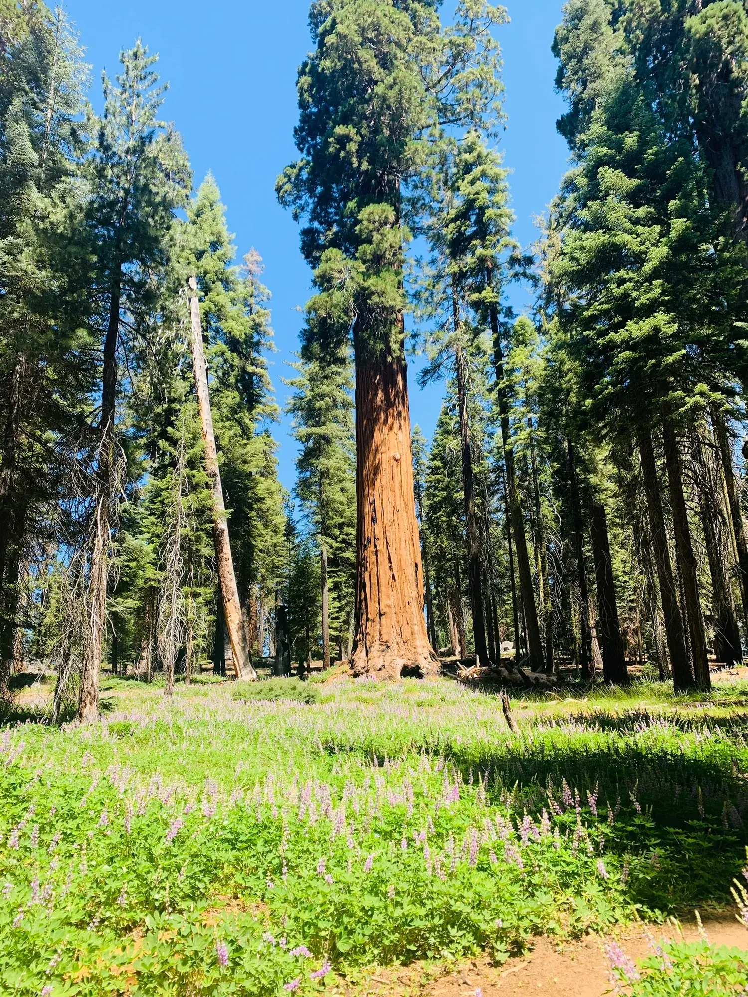
Moro Rock Stairway
A stone and concrete stairway leads to the top of Moro Rock, a granite dome that towers over the Generals Highway. From the top, enjoy sweeping views of the hills below and the wilderness to the east.
Sequoia · Photo: David & Keri New
- 0.25 miDistance
- 300 ftElevation gain
- 30–120 minTime
- StrenuousDifficulty
The numbers, with sources
Distance: 0.25 miles ascending to the top; return uses the stairway. Source
Gain: 300 feet of ascent in the NPS description. Source
Time: 30–120 minutes Source
Difficulty: Strenuous staircase climb Source
Trailhead: Giant Forest, Sequoia National Park Source
Route type: out-and-back Source
Built from official sources (checked Nov 3, 2026). Confirm current conditions with the park.
Recreation.gov permits, entrances & campgrounds
Recreation.gov (RIDB). Booking records date not published. NPS guidance above takes precedence. A listing doesn’t mean you need a permit or that there’s space on your dates.
Route, junction by junction
Trailhead → Selected destination or loop
Keep inside the barriers throughout the climb. NPS specifically warns about steep drop-offs, slippery slopes and the need to supervise children. Shade is limited at the top. The road and the staircase have different winter restrictions: reaching the parking area on a winter route does not mean the snowy or icy staircase is open. Source
No elevation profile yet:
No elevation profile yet: we haven’t verified complete measurements for this route. Source
In-depth guide
Compiled from linked sources, checked Nov 2, 2026. Each paragraph links to its source.
Is this hike for you?
Moro Rock is a granite dome at the edge of the Giant Forest, and the way up is a 350-step staircase that climbs 300 feet over 0.25 miles. The NPS calls it strenuous and gives 30–120 minutes. From the top you get a 360-degree view: the Great Western Divide of the Sierra Nevada, the foothills and San Joaquin Valley to the west, and wilderness to the east. Look over the railing and you can see the Kaweah River and the Generals Highway thousands of feet below. You come back down the same stairs. Source
The climb
Handrails line the route, but there are steep drop-offs and slippery slopes the whole way up. Use the guardrails, don’t climb over barriers, and keep small children close. The NPS says Moro Rock is fine for all ages if kids stay inside the railings. The altitude makes the climb harder, so take breaks and drink plenty of water. There’s little to no shade on top, so wear sun protection. Source
Getting there
Moro Rock is in the Giant Forest, on the Moro Rock / Crescent Meadow Road, 1 mile (1.6 km) from where it starts at the Giant Forest Museum. The parking lot at the base is small and very tight; arrive early or come back later if it’s full, and don’t stop on the highway for photos. In summer, free shuttles run from the Giant Forest Museum to the Moro Rock parking area. On summer weekends the road closes to private vehicles, so the shuttle is the only way in. On weekdays the road stays open, but the lot may be full. Source
As of November 3, 2026, the NPS listed weekday traffic delays on the Generals Highway between Highway 180 and Giant Forest for hazard tree removal: 8 a.m. to 5 p.m., up to 30 minutes at each work site, with no delays on federal holidays. Check current alerts before you go. Source · Source 2
When to go
In winter, snow closes the Moro Rock / Crescent Meadow Road. Ski trails reach the parking area, but the stairway is closed whenever it’s snowy or icy. If it’s closed, pick another hike. Source
Water and food
The NPS doesn’t list water on the climb. Bring plenty, plus sun protection for the exposed top. Source
Strollers and wheelchairs
The climb is all stairs, so it isn’t wheelchair or stroller accessible. The road itself is open to vehicles with accessible parking placards even when it’s closed to other private vehicles in summer, and the summer park shuttles are wheelchair accessible. There are accessible parking spaces at the Moro Rock and Crescent Meadow lots. Source
Dogs, permits and fees
The NPS page doesn’t give a pet rule for Moro Rock, so check the park’s pet rules before you bring a dog. You don’t need a reservation. Source
Check the NPS fees page for the park entrance fee; we haven’t confirmed the current price. Source
Before you go
If anyone in your group isn’t comfortable with the drop-offs, it’s fine to stop partway. Stay together and head down early if you need to. Source
There’s no elevation profile yet: we haven’t verified complete measurements for this route. Source · Source 2
Sources & planning limits
Reviewed 2026-11-03. Check current conditions for your trip dates.
- NPS alert, November 3, 2026: weekday traffic delays on the Generals Highway between Highway 180 and Giant Forest for hazard tree removal, 8 a.m. to 5 p.m., up to 30 minutes at each work site. No delays on federal holidays. Check current alerts. Source
- There’s no elevation profile yet: we haven’t verified complete measurements for this route. Source
- Park information changes. Check access, services and reservations for your travel date. Source
Getting there and back
Giant Forest, Sequoia National Park Source
Return: Come back the way described above. Return along the same trail unless a separate transport plan has been confirmed. Source
Water
There is little to no shade at the top of Moro Rock, wear proper sun protection. Source
Hazards
The Moro Rock trail consists of a 350-step staircase to ascend to the top. Moro Rock / Crescent Meadow Road is open to vehicles with accessible parking placards, even when closed to other private vehicles in summer. In the summer, you can also take wheelchair-accessible park shuttles to sites along this road. Parking: Accessible parking spaces are located at Moro Rock parking lot and the Crescent Meadow parking lot. Source
Season
The stairway is closed when it is snowy or icy. Source
The stairway is closed when it is snowy or icy. Source
Gear & rules
Follow current signs and closures, and treat any side trip as a separate decision. Source
Filling a gap in your kit? Compare these packing essentials on Amazon. Choose gear for your route, conditions and the park’s guidance.
As an Amazon Associate we earn from qualifying purchases. How this works
The NPS doesn’t publish a pet rule for this exact route. Confirm the applicable rule before bringing an animal. Source
Questions
Which route do these figures describe?
0.25 miles ascending to the top; return uses the stairway. Moro Rock is a short staircase climb with substantial exposure, rather than a level overlook reached directly from the car. NPS describes more than 350 steps and a 300-foot ascent over a quarter mile. The top opens views from the foothills toward the Sierra wilderness, but the railings and stairs define the walking route. Source
Is the trail open right now?
No. NPS details as of Nov 3, 2026. Confirm current conditions and closures with NPS. Source
Is there a measured elevation profile?
Elevation profile omitted: No matching official trail geometry returned in the NPS Public Trails park query. Source
Alternatives
The summer shuttle and private-vehicle details here are seasonal. They need a trip-date check before choosing transportation. Accessible parking and wheelchair-accessible shuttles serve the road corridor; those facilities do not make the 350-step summit climb wheelchair accessible. Source
More Sequoia trail guides
- Tokopah Falls Trail3.4 mi · Easy