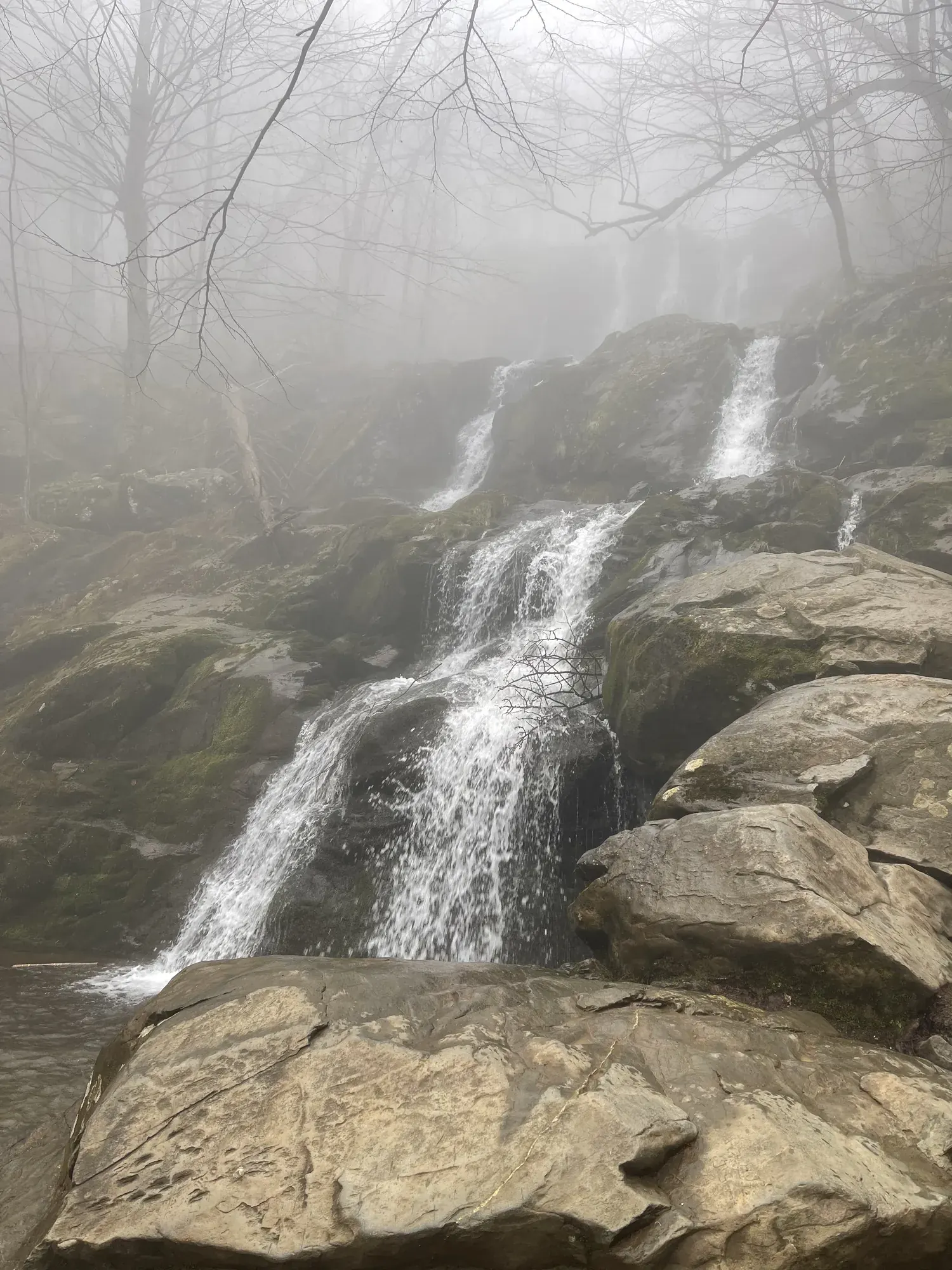
Stony Man
A short walk to a viewpoint over the Shenandoah Valley and Massanutten Mountain. From the Stony Man Parking Area at Skyline Drive mile 41.7, follow the Appalachian Trail to the trail post, continue on the blue-blazed Stony Man Trail to the viewpoint, then stay on the Stony Man Trail to where it meets the Appalachian Trail again and retrace your steps. NPS gives 1.6 miles round trip and 340 feet of elevation gain.
Shenandoah · Photo: David & Keri New
- 1.6 miDistance
- 340 ftElevation gain
- 1 hrTime
- EasyDifficulty
The numbers, with sources
Distance: 1.6 miles round trip. Source
Gain: 340 feet. Source
Time: 1 hour (NPS hiking time; the activity duration field gives 1-2 hours). Source
Difficulty: Easiest on the Shenandoah hiking difficulty scale. Source
Trailhead: Stony Man Parking Area, Skyline Drive mile 41.7. Source
Route type: Out-and-back on the Appalachian Trail and Stony Man Trail (NPS: retrace your steps) Source
Built from official sources (checked Nov 15, 2026). Confirm current conditions with the park.
Recreation.gov permits, entrances & campgrounds
Recreation.gov (RIDB). Booking records date not published. NPS guidance above takes precedence. A listing doesn’t mean you need a permit or that there’s space on your dates.
Park campground options (4)
These records belong to the park’s NPS recreation area. We haven’t checked how close these are to the trail, when they open or whether sites are free; check the map and the booking page.
Loft Mountain Campground — Campground; RIDB reservable: yes. Season: not published in structured RIDB data. Recreation.gov (RIDB) source · Booking details
NPS reservation guidance: There is a combination of sites offered through reservations and on a first-come, first-served basis at Loft Mountain Campground. Reservations are highly recommended, especially on weekends and holidays. Reservations for many standard sites may be made up to 6 months in advance, with additional sites becoming available 2 weeks prior, and 4 days prior your stay. NPS source
Lewis Mountain Campground — Campground; RIDB reservable: yes. Season: not published in structured RIDB data. Recreation.gov (RIDB) source · Booking details
NPS reservation guidance: Lewis Mountain Campground operates on a self-registration, first-come, first-serve basis. There are no reservable sites. Please follow the posted directions to register once arriving at the campground. NPS source
MATHEWS ARM CAMPGROUND — Campground; RIDB reservable: yes. Season: not published in structured RIDB data. Recreation.gov (RIDB) source · Booking details
NPS reservation guidance: There is a combination of sites offered through reservations and on a first-come, first-served basis at Mathews Arm Campground. Reservations are highly recommended, especially on weekends and holidays. Reservations for many standard sites may be made up to 6 months in advance, with additional sites becoming available 2 weeks prior, and 4 days prior your stay. Group sites can be reserved up to one year in advance. NPS source
Big Meadows Campground - Shenandoah (VA) — Campground; RIDB reservable: yes. Season: not published in structured RIDB data. Recreation.gov (RIDB) source · Booking details
NPS reservation guidance: All sites at Big Meadows Campground are by reservation only. Rangers can make limited reservations on site, but availability is not guaranteed. It is recommended you make your reservation ahead of time. Reservations can be made through Recreation.gov as well as the site map on the campground page. Check the map to see when specific sites are scheduled to be released. Reservable sites will be released in sections: 6 months prior to the date of your arrival - 50% of reservable sites will be released; 2 weeks prior to the date of your arrival - 25% of reservable sites will be released; 4 days prior to the date of your arrival - the remaining 25% of reservable sites will be released. Reservations for Big Meadows Campground can be made online at any time. NPS source
Route, junction by junction
Route selection → Described destination
A short walk to a viewpoint over the Shenandoah Valley and Massanutten Mountain. From the Stony Man Parking Area at Skyline Drive mile 41.7, follow the Appalachian Trail to the trail post, continue on the blue-blazed Stony Man Trail to the viewpoint, then stay on the Stony Man Trail to where it meets the Appalachian Trail again and retrace your steps. NPS gives 1.6 miles round trip and 340 feet of elevation gain. Source
No elevation profile yet:
No elevation profile yet: we haven’t verified a complete line for this route. No partial line, invented connector, scaled mileage or flat profile is substituted. Source
In-depth guide
Compiled from linked sources, checked Nov 15, 2026. Each paragraph links to its source.
Is this hike for you?
Stony Man is a short hike to an outstanding view of the Shenandoah Valley, Massanutten Mountain and beyond. It’s 1.6 miles round trip with 340 feet of elevation gain, and the NPS rates it Easiest on its difficulty scale. It gives a hiking time of 1 hour (elsewhere 1-2 hours), which doesn’t allow for rests or exploring. Source
The trail
The trailhead is at the Stony Man parking area at Skyline Drive mile 41.7. Take the Appalachian Trail (A.T.) to the trail post, then follow the blue-blazed Stony Man Trail to the viewpoint. Keep going on the Stony Man Trail to where it meets the A.T. again, and retrace your steps to the parking area. Source
Dogs, accessibility and fees
Pets aren’t allowed on the Stony Man Trail, but service animals are welcome. The trail doesn’t meet ADA accessibility guidelines. You’ll need to pay the park entrance fee. Source
What we couldn’t confirm
The NPS doesn’t say when the lot fills or list services at the trailhead. Source
There’s no elevation profile yet: we haven’t verified a complete line for this hike on the NPS trail maps. Source
OpenStreetMap shows a Stony Man Trail here too, but that’s a community map and doesn’t confirm the full route or current access. Source · Source 2
Getting there and back
Stony Man Parking Area, Skyline Drive mile 41.7. Source
Return: Use the return described in the official route account. Don’t count on a shuttle, boat, flight or pickup unless you have confirmed it yourself. Source
Water
The NPS doesn’t publish a full list of water and restrooms along this route. Use only the facilities explicitly identified in the NPS account; confirm current operations. Source
Hazards
Leave pets at home: they are not allowed on the Stony Man Trail, though service animals are welcome. NPS says the trail does not meet ADA accessibility guidelines. It rates the hike Easiest on its difficulty scale, with a hiking time of 1 hour that does not account for fitness, rest or exploring. An entrance fee is required to enter the park. Source
Season
This page can’t tell you current access. Check NPS conditions before departure. Source
Check current conditions and seasonal access with the park before you go. Check the park before departure. Source
Gear & rules
Respect current closures, signs and barriers. A mapped path is not proof that travel is permitted. Source
Filling a gap in your kit? Compare these packing essentials on Amazon. Choose gear for your route, conditions and the park’s guidance.
As an Amazon Associate we earn from qualifying purchases. How this works
Pets are not allowed on Stony Man Trail. Source
Questions
Which hike is this?
A short walk to a viewpoint over the Shenandoah Valley and Massanutten Mountain. From the Stony Man Parking Area at Skyline Drive mile 41.7, follow the Appalachian Trail to the trail post, continue on the blue-blazed Stony Man Trail to the viewpoint, then stay on the Stony Man Trail to where it meets the Appalachian Trail again and retrace your steps. NPS gives 1.6 miles round trip and 340 feet of elevation gain. 1.6 miles round trip. Source
Is a measured elevation profile available?
No elevation profile yet: we haven’t verified a complete line for this route. No partial line, invented connector, scaled mileage or flat profile is substituted. Source
Alternatives
Alternative-route distances and durations are unavailable unless separately described in the source. Side trails aren’t included. Source
More Shenandoah trail guides
- Dark Hollow Falls1.4 mi · Moderate
- Hawksbill Summit from Hawksbill Gap1.7 mi · Moderate
- Old Rag Circuit9.4 mi · Strenuous