Our favorite hike
a waterfall hike
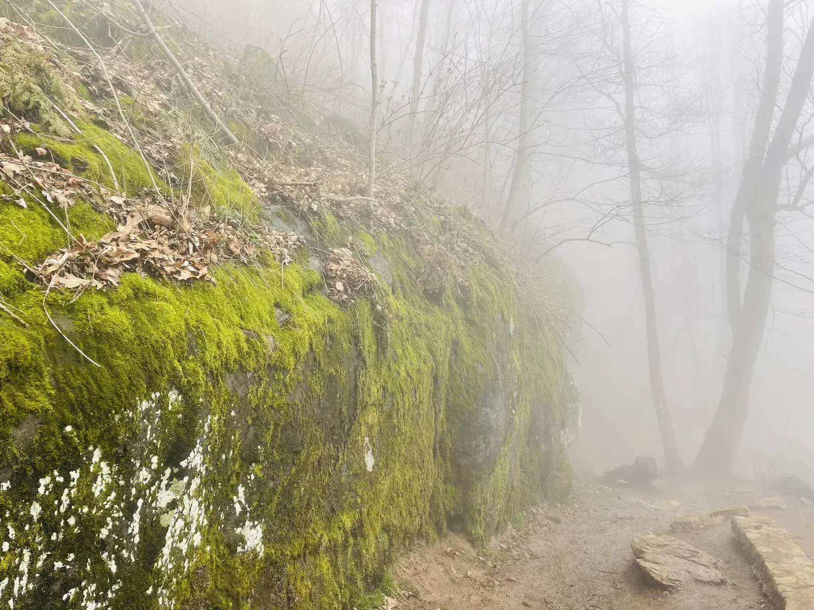
We only did one hike to a waterfall. It was so foggy there. We’d been looking forward to Old Rag for a long time and were really let down that the weather wasn’t good for us to do that.

Virginia
105 miles of Skyline Drive along the crest of the Blue Ridge, just west of Washington, D.C. The park has more than 500 miles of trails (including part of the Appalachian Trail), waterfalls in every district, and is one of the few national parks that allow dogs on most trails.
By David & Keri New, who have visited 63 of the 64 U.S. national parksUpdated
20Park 20 of our 63Visited Apr 2021
Saves this park and its trail guides on this device. Alerts and conditions are as of when you save; live maps and bookings need a connection.
NPS alertsAs of 6:03 AM ET, Nov 20
3 days is our starting point.
Use one day for the central Skyline Drive, Stony Man and Big Meadows when open. Add Old Rag from the east boundary as a separate strenuous day if tickets, parking and conditions work.
Open the 2-day itineraryOld Rag tickets and accessNPS park conditions
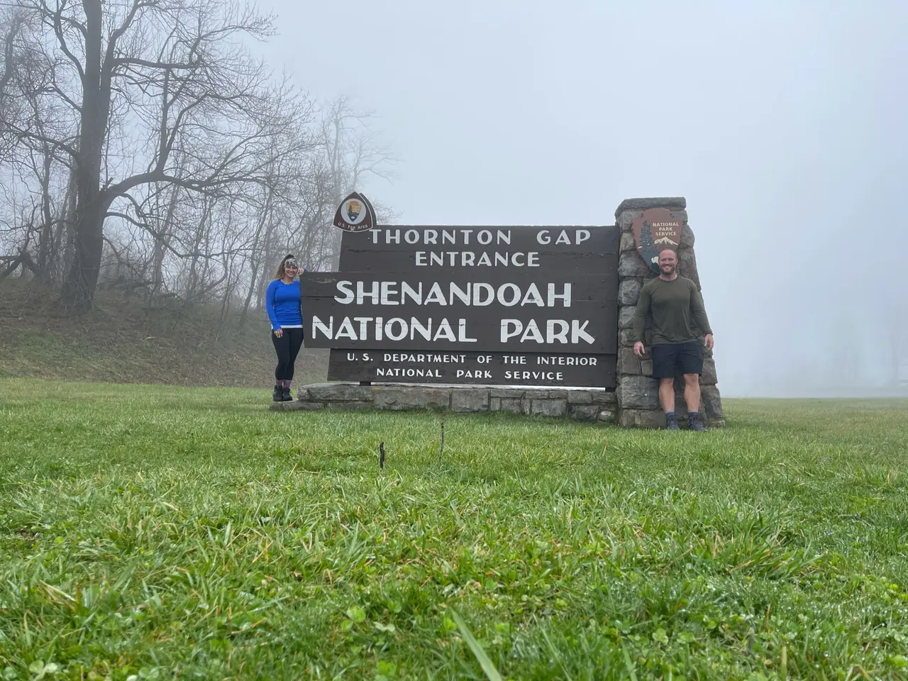
With a few hours, enter at Thornton Gap (mile 31.5) and drive south to the Stony Man parking area at mile 41.7. NPS rates the 1.6-mile round trip as easiest, with 340 feet of climbing and about 1 hour of hiking.
National Park Service guidanceNational Park Service guidance
Add a North District morning from Front Royal. Fox Hollow Trail starts across Skyline Drive from Dickey Ridge Visitor Center at mile 4.6. NPS rates the 1.2-mile circuit as easiest and allows about 45 minutes.
If you cannot get an Old Rag ticket, use the central Skyline Drive plan with Stony Man and Big Meadows when open. If that road segment closes, check which entrances and sections remain open before leaving. Reschedule the ridge trip if your intended stops are inaccessible.
Old Rag tickets and accessNPS park conditionsOpen the 1-day itinerary
Luray for the Thornton Gap approach or a central park lodge
Compare Luray for access via Thornton Gap or an open stay at Skyland or Big Meadows. If Old Rag is the priority, account for its separate approach from the east before choosing a room.
Lodging and gateway townsGetting to the parkOld Rag tickets and access
Check Old Rag ticket requirements for your dates and reserve ahead when required. Confirm which parking lots are open. If staying on Skyline Drive, check the lodge and road independently.
Old Rag tickets and accessNPS park conditionsLodging and gateway towns
Drive in at Front Royal (mile 0), Thornton Gap (mile 31.5), Swift Run Gap (mile 65.5) or Rockfish Gap (mile 104.6). Skyline Drive is the only public road through the park. The full length takes about three hours, and weather can close it.
Our visit
April 2021
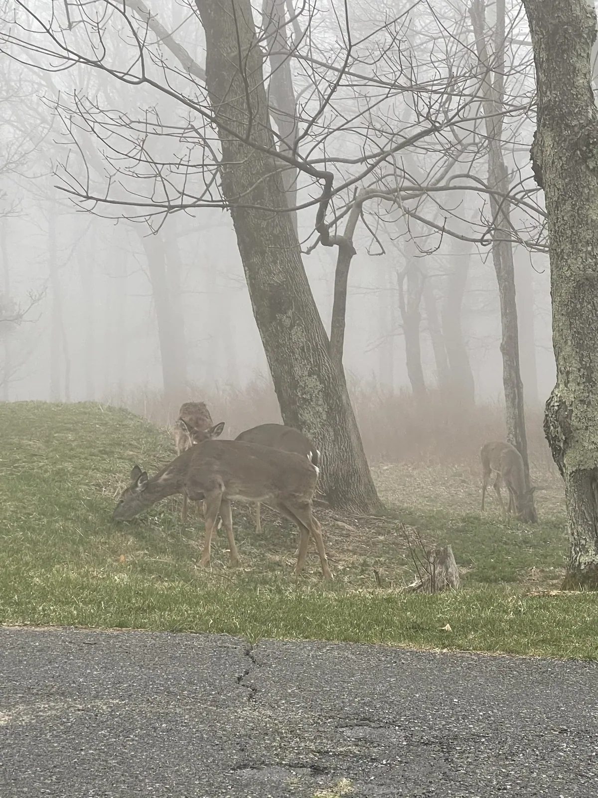
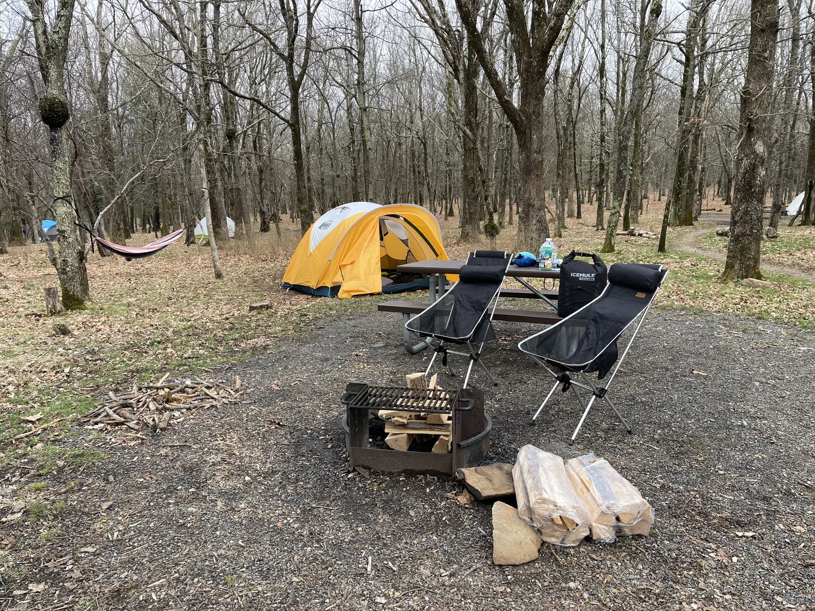
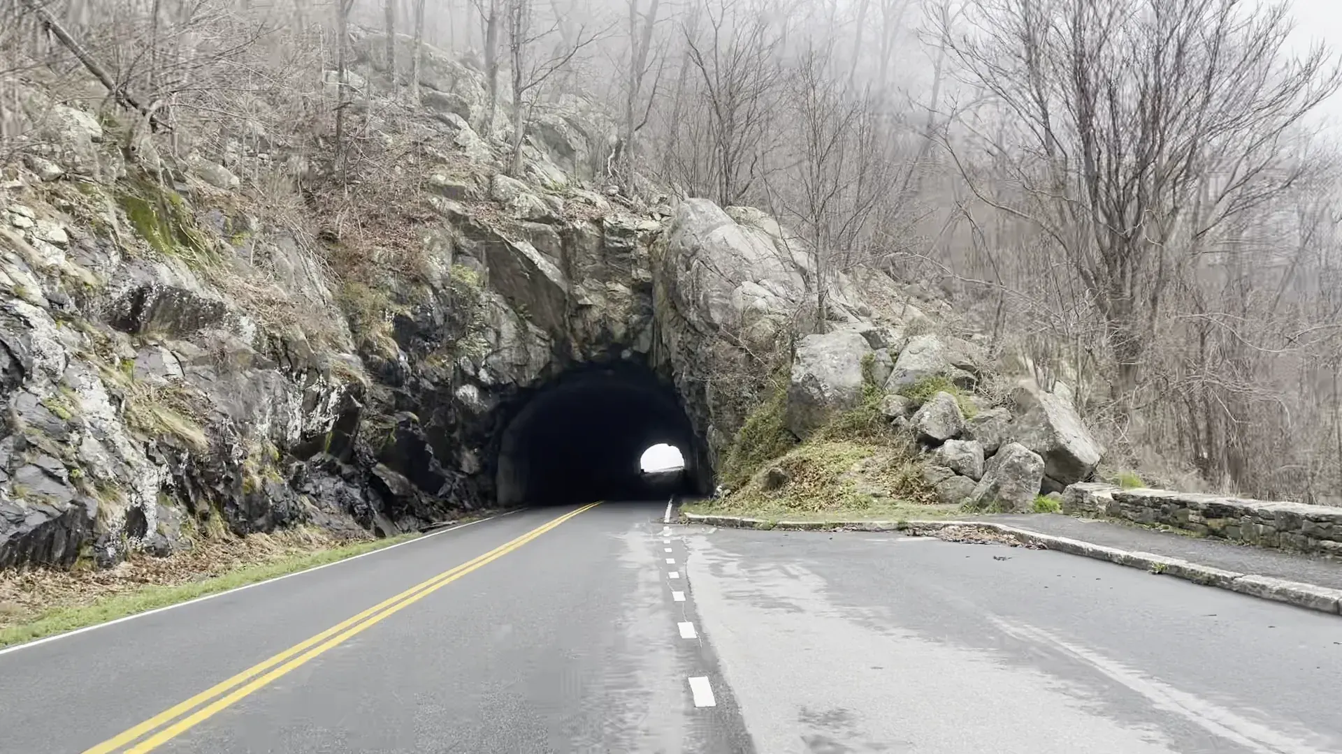
Why it’s on our list
Shenandoah is a beautiful mountain park known for its peaceful forests, scenic overlooks, and excellent hiking trails. Skyline Drive offers gorgeous views of the Blue Ridge Mountains, especially during the fall when the leaves change colors. While the scenery isn’t quite as dramatic as some of the western national parks, Shenandoah is a wonderful place to escape into nature.
Our favorite moment
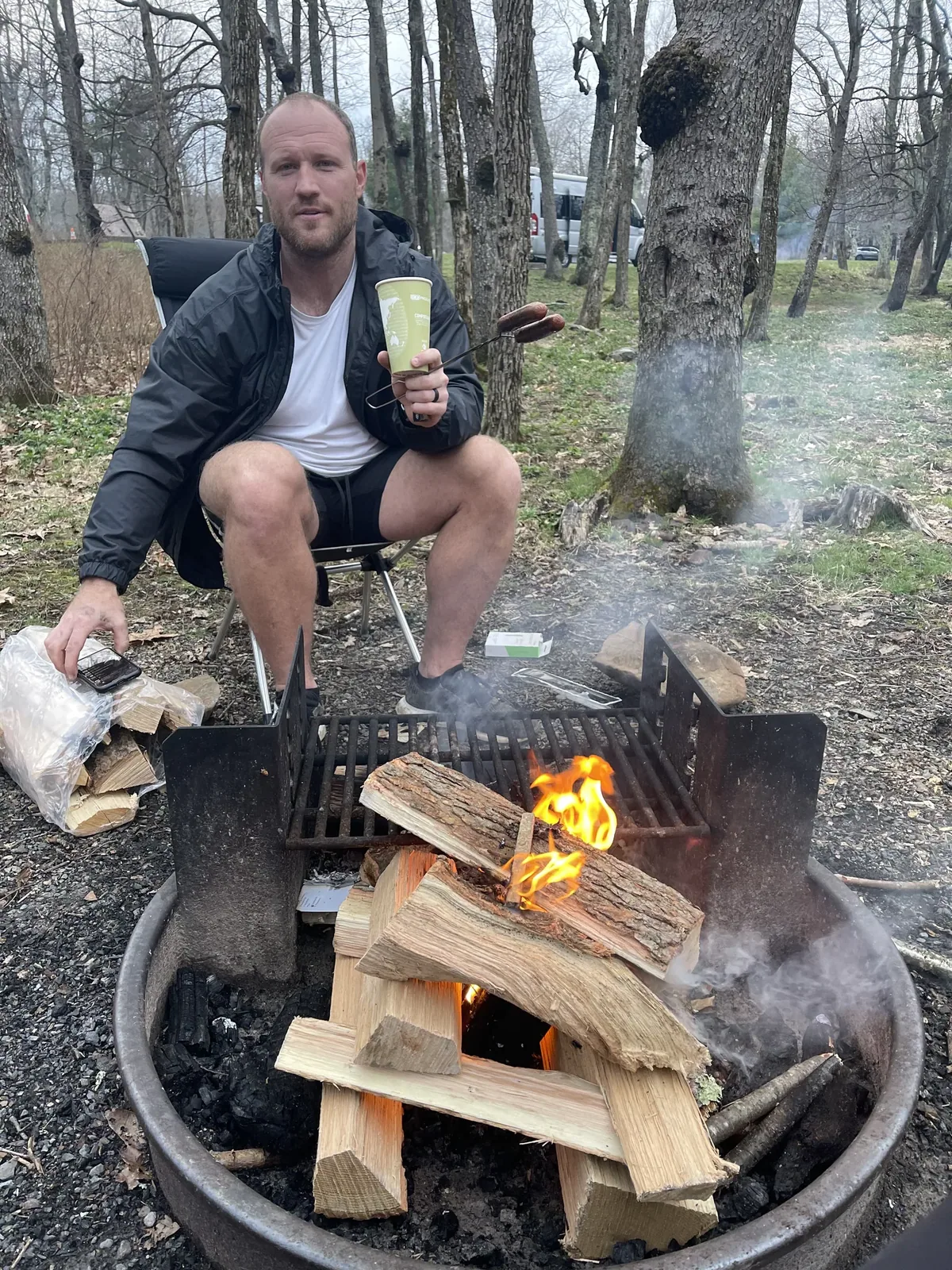
It was so foggy there. We only did one hike to a waterfall. We camped in the campground and had a good time, although it was extremely foggy still. We’d been looking forward to Old Rag for a long time and were really let down that the weather wasn’t good for us to do that. We spent the rest of the weekend in DC and had a blast.
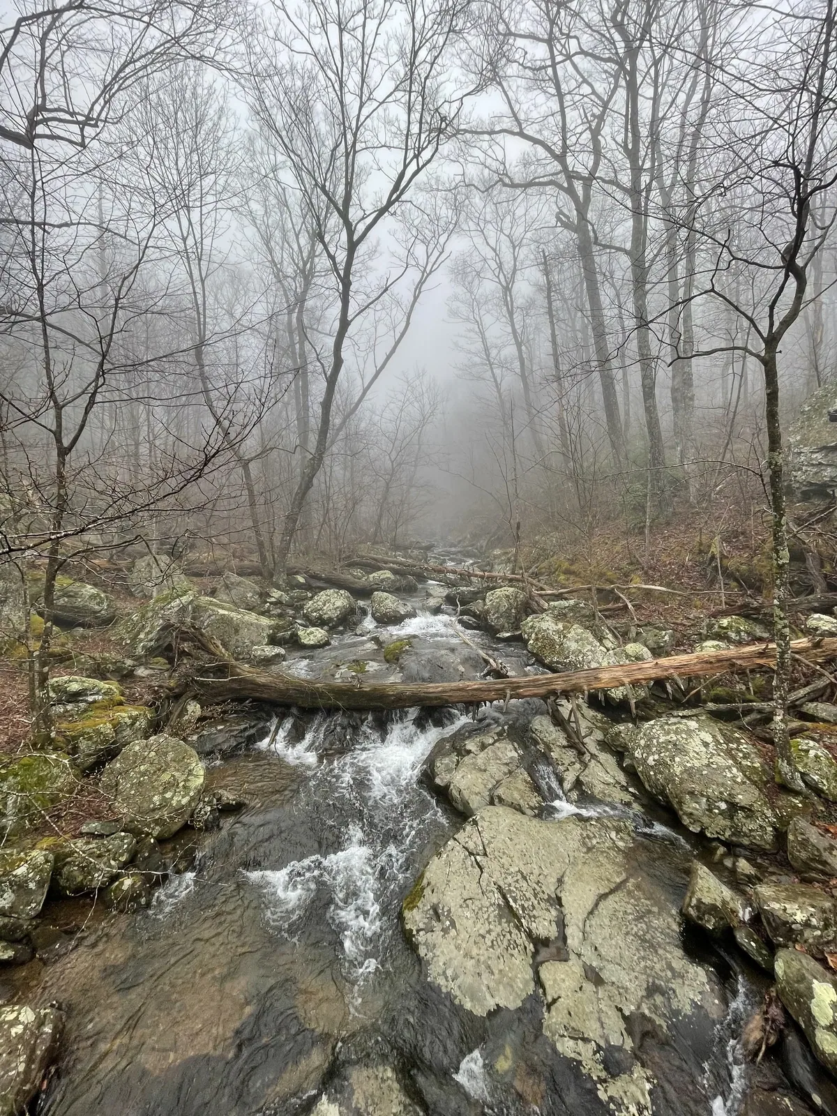
Photos by David & Keri New.
Firsthand · David & Keri New
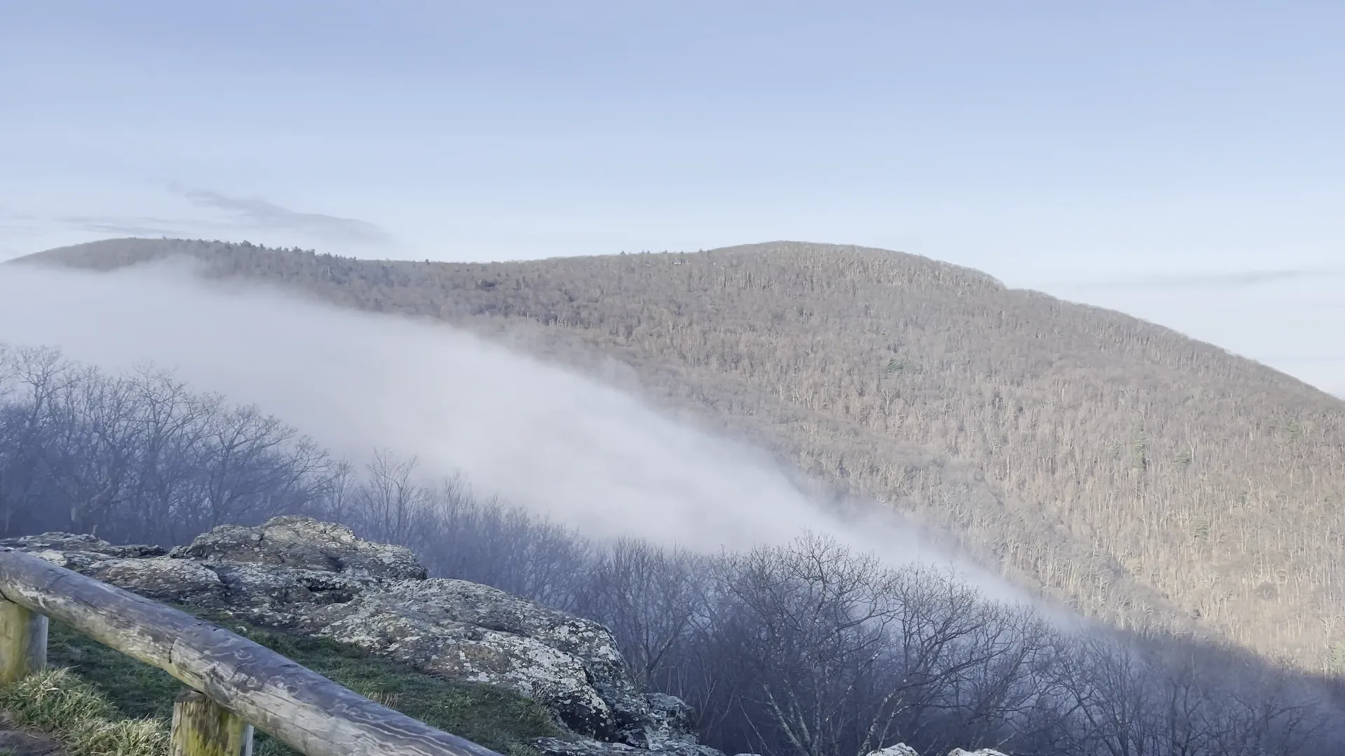
Shenandoah is a long, skinny park along the Blue Ridge. Skyline Drive runs the whole length of it, and the waterfalls are down in the hollows below. We went in early April, when the trees were bare, fog was rolling through the valleys and the waterfalls were running strong. It was so foggy there. We only did one hike to a waterfall. We camped in the campground and had a good time, although it was extremely foggy still. We’d been looking forward to Old Rag for a long time and were really let down that the weather wasn’t good for us to do that. We spent the rest of the weekend in DC and had a blast.
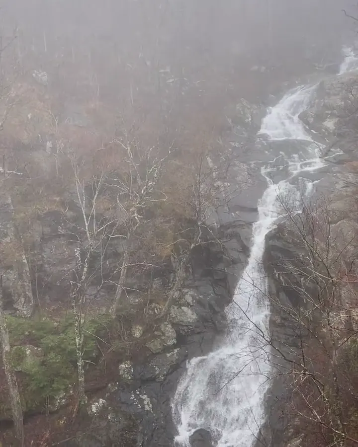
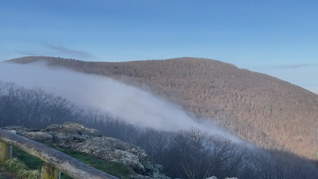

a waterfall hike
We only did one hike to a waterfall. It was so foggy there. We’d been looking forward to Old Rag for a long time and were really let down that the weather wasn’t good for us to do that.
Old Rag needs a day-use ticket on top of park entry for much of the year, so book it ahead. If you want an easier waterfall, Dark Hollow Falls is short, but the walk back up is steep.
When we went, it was the most intense fog I have ever seen. Most of the time we were there, we couldn’t see farther than 10 feet in front of us.
If a friend had just one day, I would highly recommend hiking Old Rag. We were really let down that the weather wasn’t good for us to do that, since we had been looking forward to it for a long time.
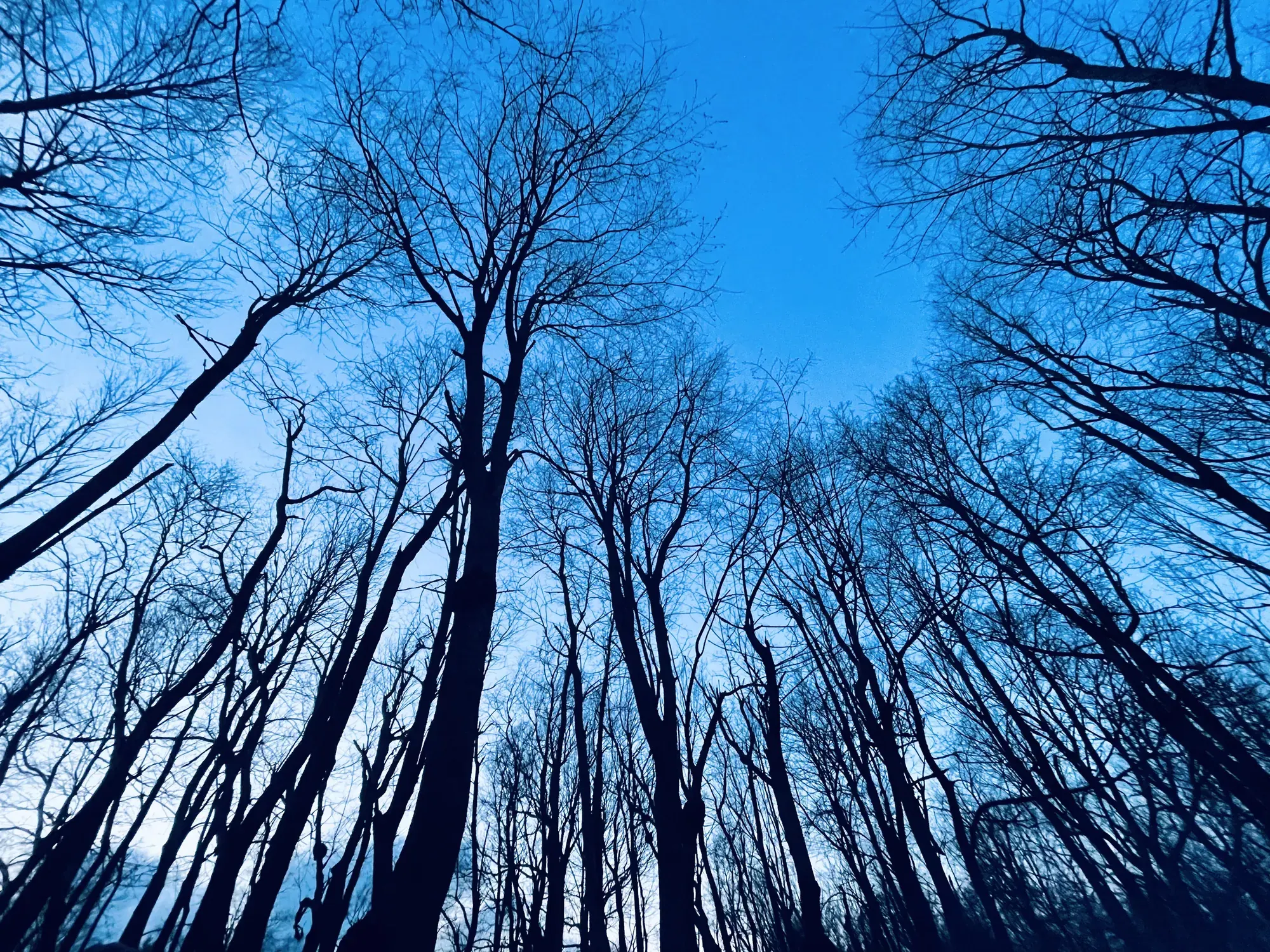
The forest was still bare in early April. Late spring, when the trees are green, or fall, when they’re full of color, would be our pick for a return trip.
Skyline Drive is 105 miles long, and we’d drive all of it with time for the overlooks. Then we’d hike Stony Man for an easy sunset view.
April here is quiet early in the month. The leaves aren’t out yet, and the fall foliage crowds are months away. It was foggy and rainy for our trip, which made the waterfall look moody.
Luray Caverns, in Luray, is just outside the park and a stop a lot of people make. Up in Front Royal at the north end, Spelunker’s is a well-known burger and frozen custard stand.
Big Meadows Campground
David 7/10Keri 6/10
It was so foggy there. We camped in the campground and had a good time, although it was extremely foggy still. We spent the rest of the weekend in DC and had a blast.
Entry
Check entry rules
You still need an entrance pass: $30 per vehicle, good for 7 days.
Fees and permitsBest time
May, September, October
May flowers, September hiking, October foliage. Summer stays cooler on the ridge. Winter ice limits access and services.
Month by monthDense fog is possible on Skyline Drive any day of the year, at any time of day. Last verified · nps.gov
Itineraries
1 day
2 days
3 daysOur pick
Compare the 1-, 2- and 3-day plans, day by day →
Map
2 visitor centers and 4 campgrounds on a map you can zoom and drag. Map data loads from OpenStreetMap when you tap.
Visitor centerCampground Roads and trails are community-mapped; check closures with the park.
Locations from the NPS visitor-center listing, checked Nov 13, 2026. Hours and what each one has
Locations from Recreation.gov, checked Nov 7, 2026. Compare the campgrounds
Trails
1.4 mi
Trailhead at mile 50.7. No pets; Rose River Falls allows dogs.
Out and back · About 1 hour 15 minutes
Start: Dark Hollow Falls parking, Skyline Drive mile 50.7.
1.6 mi
Near Skyland. No pets on the Stony Man trail.
Lollipop loop · About 1 hour
Start: Stony Man parking, Skyline Drive mile 41.7; start on the Appalachian Trail.
2.1 mi
Hawksbill is the park’s highest summit.
Out and back · About 1 hour 30 minutes
Start: Upper Hawksbill parking, Skyline Drive mile 46.5.
2.4 mi
North District summit hike.
Out and back · About 1 hour 45 minutes
Start: Compton Gap parking, Skyline Drive mile 10.4; cross Skyline Drive to the Appalachian Trail.
3.3 mi
South District waterfall hike.
Out and back · About 2 hours 15 minutes
Start: Doyles River parking, Skyline Drive mile 81.1.
3.7 mi
A summit hike on the Appalachian Trail corridor.
Out and back · About 3 hours 30 minutes
Start: Back of Panorama parking, Skyline Drive mile 31.6; connector leads to the Appalachian Trail.
4 mi
Dogs allowed.
Loop · About 4 hours 30 minutes
Start: North end of Fishers Gap parking, Skyline Drive mile 49.4; cross the road to start.
4 mi
Herbert and Lou Henry Hoover’s summer White House.
Out and back · About 2 hours 45 minutes
Start: Milam Gap parking, Skyline Drive mile 52.8; cross the road to the Appalachian Trail and Mill Prong Trail.
4.6 mi
Out-and-back to the upper falls.
Out and back · About 3 hours 30 minutes
Start: Whiteoak Canyon parking, Skyline Drive mile 42.6.
5.1 mi
Leads to the park’s tallest waterfall (93 ft).
Out and back · About 4 hours
Start: Mathews Arm Campground registration parking, off Skyline Drive mile 22.2; use mile 21 when campground access closes.
5.4 mi
Starts at Berry Hollow on the boundary, via the Saddle Trail. Needs a day-use ticket.
Out and back · About 6 hours 15 minutes
Start: Berry Hollow parking on Route 600, beyond Whiteoak Canyon boundary parking; spaces are limited.
9.4 mi
The park’s most popular hike, with rock scrambles. About 7.5 hours. Needs a day-use ticket Mar 1-Nov 30. No pets.
Loop · About 7 hours 30 minutes
Start: Old Rag parking at the park boundary; reach via Route 601 from Route 231.
9.8 mi
Long South District loop.
Loop · About 8 hours 15 minutes
Start: Riprap parking at Skyline Drive mile 90 or Wildcat Ridge parking at mile 92.1.
Distances, gains and difficulty as NPS publishes them; the bar shows the published distance, dashed where a longer option exists.
Camping
Fees, permits & rules
Last verified · nps.gov All Shenandoah fees, permits and booking deadlines →
Required March 1-November 30 for the Saddle, Ridge and Ridge Access trails or for camping on Old Rag. Tickets are $2 each, 800 per day: 400 are released 30 days ahead and 400 five days ahead, and you must buy online before you arrive. Cell service at the Old Rag fee station is limited. Text SHENOLDRAG to 888777 for updates. NPS says tickets go on sale the first week of February; 2027 dates and price not announced yet (NPS, checked Nov 2026).
Last verified · Old Rag FAQ (NPS)Construction at the Old Rag Trailhead main parking lot started May 4, 2026, and NPS expected it to finish by November 2026. As of Nov 1, 2026, NPS still lists the main lot as closed to cars and pedestrians and has not announced a reopening date. Use the overflow lots and check the Old Rag page before you go.
Last verified · Old Rag hiking info (NPS, checked Nov 1 2026)Reservations for early 2027 aren’t available yet while campground operations move to a new concessioner, ExplorUS. NPS expects to announce rates and other details in mid-December and to open reservations in early January. 2027 rates, opening dates and booking process not announced yet (NPS, checked Nov 2026).
Last verified · Campgrounds (NPS, updated Oct 29 2026)Overnight backcountry permits are sold only on Recreation.gov or by phone (877-444-6777): $9 per person plus a $6 reservation fee. The park no longer issues paper permits.
Last verified · Backcountry regulations (NPS)RVs and other vehicles can stay overnight only in the park’s campgrounds (Mathews Arm, Big Meadows, Lewis Mountain and Loft Mountain). When those are closed for the season, camp outside the park.
Last verified · Campground reservations (NPS)Email me this guide Get a link to the Shenandoah guide in your inbox, to open again when you plan or before you go.
One email with the link. We don’t add you to any list unless you tick the box.
Historical recreation visits · 2021–2025 · as of Nov 3, 2026. Visits count entries, not unique people, parking spaces or trail crowding.
Busiest by average count: Oct. Quietest: Jan. Each bar is that month’s average visits across 5 years; unusual years and reported zeros are included. Past visits can’t tell you the best time of day to arrive.
Every month’s visits and NOAA weather, with the counts for each year →
NPS Visitor Use Statistics: monthly report · NPS monthly data · checked Nov 3, 2026; latest included year 2025.
Plan your visit
For any park: passes and free entrance days · what to pack · visiting with kids · stargazing
Getting there and park logistics →
Find a place to stay near Shenandoah → See camping and backup options for this park.
How this page is made. The section “What we’d tell a friend” is ours. Our recorded visits to Shenandoah include April 2021.Planning information, including any fees, permits, closures, weather and crowd figures shown here, is compiled from the National Park Service, Recreation.gov and other public sources, and each fact shows the date we last checked it. If something is wrong, tell us and we’ll log the fix on our corrections page.