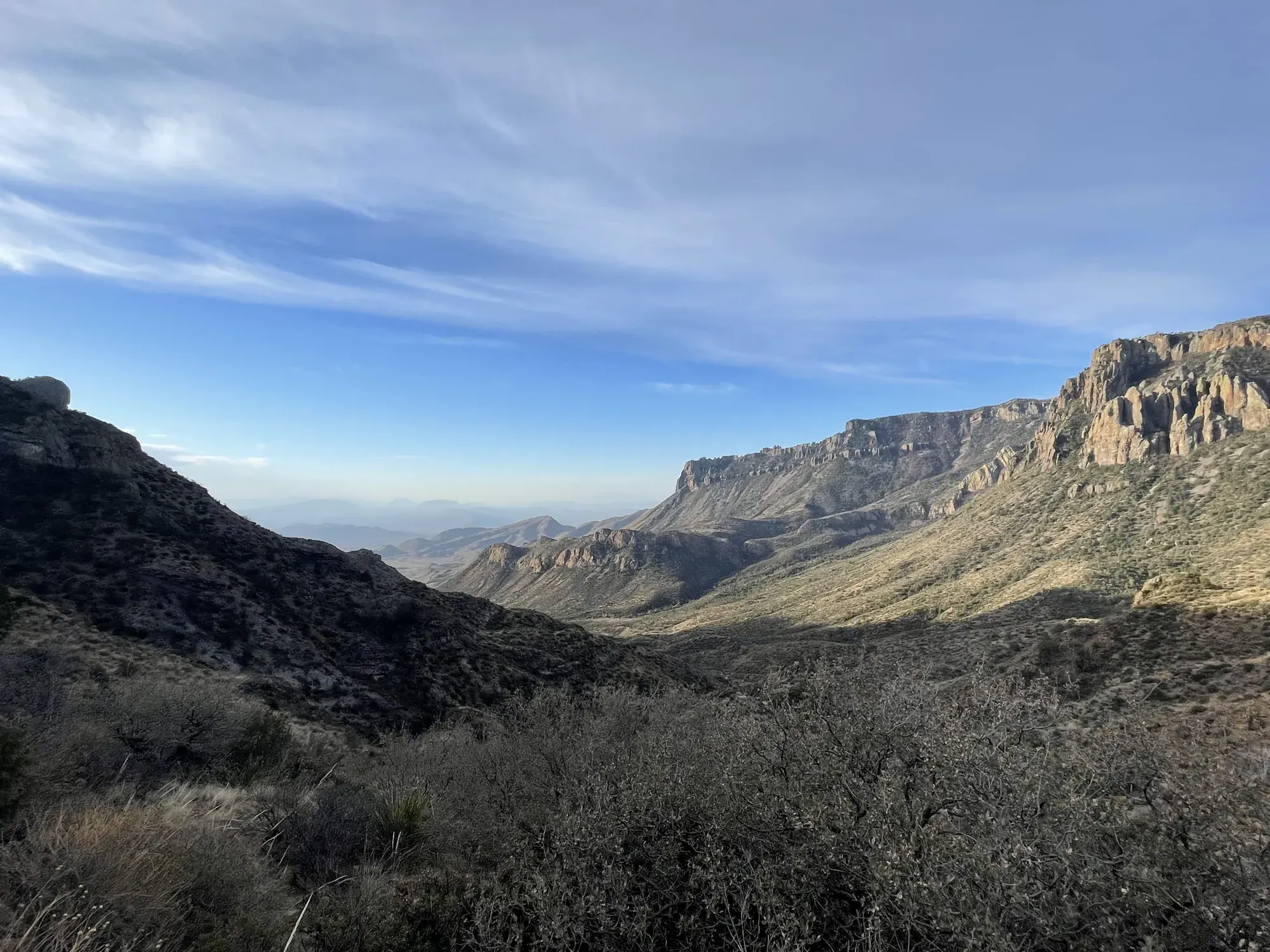
Santa Elena Canyon Trail
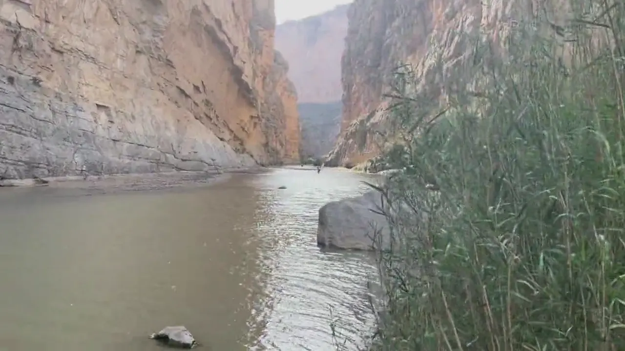
The trail begins at the end of the Ross Maxwell Scenic Drive to Santa Elena Canyon, and is one of the prettiest short trails in the park. The trail crosses Terlingua Creek, takes you to the river’s edge inside the canyon and continues farther winding among large boulders until it ends abruptly where the canyon wall meets the river.
Big Bend · Photo: David & Keri New
- 1.6 miDistance
- 80 ftElevation gain
- ModerateDifficulty
The numbers, with sources
Distance: 1.6 miles round trip Source
Gain: 80 feet elevation gain in the NPS activity. Source
Time: The NPS doesn’t give a hiking time. Source
Difficulty: Short trail with creek crossing and stairs Source
Trailhead: Santa Elena Canyon Trailhead The trail begins at the end of the Ross Maxwell Scenic Drive to Santa Elena Canyon. The trail crosses Terlingua Creek, takes you to the river’s edge inside the canyon and continues farther winding among large boulders until it ends abruptly where the canyon wall meets the river. Source
Route type: out-and-back Source
Built from official sources (checked Nov 3, 2026). Confirm current conditions with the park.
Recreation.gov permits, entrances & campgrounds
Recreation.gov (RIDB). Booking records date not published. NPS guidance above takes precedence. A listing doesn’t mean you need a permit or that there’s space on your dates.
Nearby campground records
Within 10 straight-line miles of the trailhead. Distances are straight-line from map coordinates, not driving distances.
- Cottonwood (Big Bend, TX): approximately 5.7 miles straight line. RIDB coordinates · Mapped route source
Park campground options (6)
These records belong to the park’s NPS recreation area. We haven’t checked how close these are to the trail, when they open or whether sites are free; check the map and the booking page.
Rio Grande Village (Big Bend, TX) — Campground; RIDB reservable: yes. Season: not published in structured RIDB data. Recreation.gov (RIDB) source · Booking details
NPS reservation guidance: Please plan ahead. Reservations are required for this campground. There are no first come, first served campsites. This campground is open year-round, but only a limited number of campsites are available in the summer months due to the extreme heat (110+ degrees). May 1 - October 31, 2021: 17 campsites reservable 6 months in advance and 7 sites reservable up to 14 days in advance. November through April: 60 sites reservable up to 6 months in advance and 33 sites reservable up to 14 days in advance Reservations for Rio Grande Village Campground are made at: https://www.recreation.gov/camping/campgrounds/234035 NPS source
Cottonwood (Big Bend, TX) — Campground; RIDB reservable: yes. Season: not published in structured RIDB data. Recreation.gov (RIDB) source · Booking details
NPS reservation guidance: Plan Ahead: there are NO first come, first served campsites Reservations required. All campsites are reservation only, up to 14 days in advance. Campground is operated at a reduced capacity during the heat of summer (May 1- October 31) Reservations for Cottonwood Campground are made at: https://www.recreation.gov/camping/campgrounds/234078 NPS source
Rio Grande Village Group Campground (Big Bend, TX) — Campground; RIDB reservable: yes. Season: not published in structured RIDB data. Recreation.gov (RIDB) source · Booking details
Big Bend Backcountry Camping — Campground; RIDB reservable: yes. Season: not published in structured RIDB data. Recreation.gov (RIDB) source · Booking details
Chisos Basin Group Campground (Big Bend, TX) — Campground; RIDB reservable: yes. Season: not published in structured RIDB data. Recreation.gov (RIDB) source · Booking details
Chisos Basin Campground (Big Bend, TX) — Campground; RIDB reservable: yes. Season: not published in structured RIDB data. Recreation.gov (RIDB) source · Booking details
NPS reservation guidance: Reservations are required. No first-come, first-serve camping. The Chisos Basin Campground is open year-round. -- 2/3 of campsites are reservable up to 6 months in advance. -- 1/3 of campsites are reservable up to 14 days in advance. Reservations for Chisos Basin Campground are made at: https://www.recreation.gov/camping/campgrounds/234038 NPS source
Route, junction by junction
Trailhead → Selected destination or loop
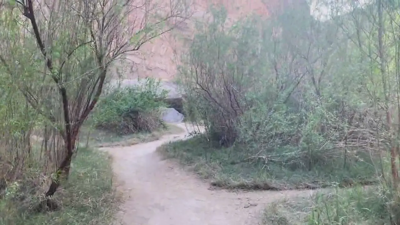
After the creek, paved steps ascend to a vista before the path descends toward the river and continues between canyon walls. NPS warns that mud and sudden creek rises can make the trail impassable. Watch distant rainfall as well as conditions at the crossing, and do not cross flowing water. Source
No elevation profile: we only draw one from a mapped route we can verify. Route source
In-depth guide
Compiled from linked sources, checked Nov 2, 2026. Each paragraph links to its source.
Is this hike for you?
Santa Elena Canyon Trail is 1.6 miles (2.6 km) round trip with 80 feet (26 m) of elevation gain. It crosses Terlingua Creek, climbs paved steps to a viewpoint, then drops back to the water’s edge and follows the Rio Grande into the canyon until the walls meet the river. The canyon walls rise 1,500 feet above the river, but that’s the scenery, not your climb. The NPS doesn’t give a hiking time. Source
The trail
The trail starts with the Terlingua Creek crossing, then heads up the steps and back down into the canyon, winding among large boulders until it ends abruptly where the canyon wall meets the river. The sheer canyon face was formed by the Terlingua Fault, and you can see calcite crystals that filled its cracks along the trail. The deepest channel of the Rio Grande is the international boundary: the south side is the Area Protegida del Cañón de Santa Elena (Mexico) and the north side is Big Bend National Park (USA). Source
Mud and flash floods
Be ready for mud. In wet periods, Terlingua Creek can rise abruptly and make the trail impassable. Watch for distant rainfall that could cause a flash flood and strand you in the canyon, and don’t cross flowing water. Source
Getting to the trailhead
The trail begins at the end of the Ross Maxwell Scenic Drive to Santa Elena Canyon. The parking lot and trailhead aren’t paved. There are vault toilets and a picnic area at the trailhead. Source
Water and sun
Bring plenty of water, at least 1-2 liters per person, and wear a sun hat and long sleeves. The NPS doesn’t list water on the trail. Source
Kids and wheelchairs
The NPS recommends the hike for ages 10 and up and says kids should always stay with an adult near the water. Mud along the Rio Grande and Terlingua Creek and the climb at the start make it inaccessible to wheelchairs. Source
Dogs, permits and rules
Pets aren’t allowed on trails, off roads or on the river; your pet can only go where your car can go. Service animals are allowed on a leash no longer than 6 feet. No bicycles on any trail, no drones, and don’t collect plants, animals, minerals or artifacts. Don’t feed or approach wildlife, including snakes and mountain lions, and pack out your trash. You don’t need a reservation for the hike, but any boating or rafting needs a permit. Source
Check the NPS fee page for the park entrance fee and passes. Source
Before you go
The NPS lists the hike for every season (Winter, Spring, Summer, Fall), but that doesn’t mean the creek is crossable on a given day. Check the park’s current alerts and the forecast, read the signs at the trailhead, and turn back early if the water is up or the group is slower than expected. Source · Source 2
There’s no elevation profile yet: the NPS trail map line comes from its trail data and USGS 3DEP terrain, but we haven’t verified complete measurements for this route. Source
Getting there and back
Santa Elena Canyon Trailhead The trail begins at the end of the Ross Maxwell Scenic Drive to Santa Elena Canyon. The trail crosses Terlingua Creek, takes you to the river’s edge inside the canyon and continues farther winding among large boulders until it ends abruptly where the canyon wall meets the river. Source
Return: Come back the way described above. Return along the same trail unless a separate transport plan has been confirmed. Source
Water
No complete route-specific drinking-water or restroom schedule confirmed. Carry water for the whole hike. Source
Hazards
The parking lot and trailhead are not paved. Muddy conditions along the banks of the Rio Grande and Terlingua Creek, and elevation gains at the start of the canyon make this trail inaccessible to wheelchairs. There are vault toilets and a picnic area at the trailhead. Service animals are allowed, but must be on a leash no longer than 6 feet. 1.6 miles round trip (2.6 km) 80 feet elevation gain (26m) Source
Season
Use current official conditions; activity season labels are not a guarantee of access. Source
Current trail conditions require a trip-date check. Source
Gear & rules
Follow current signs and closures, and treat any side trip as a separate decision. Source
Filling a gap in your kit? Compare these packing essentials on Amazon. Choose gear for your route, conditions and the park’s guidance.
As an Amazon Associate we earn from qualifying purchases. How this works
Pets are not allowed on trails, off roads, or on the river. Your pet can only go where your car can go. Source
Questions
Which route do these figures describe?
1.6 miles round trip Santa Elena Canyon begins with a Terlingua Creek crossing before entering the canyon. The activity gives a 1.6-mile round trip and eighty feet of elevation gain. The canyon walls rising 1,500 feet above the river are scenery measurements, not the trail climbing total. Source
Is the trail open right now?
No. NPS details as of Nov 3, 2026. Confirm current conditions and closures with NPS. Source
Is there a measured elevation profile?
Official NPS trail geometry sampled with USGS 3DEP terrain; no mileage or gain scaling. NPS publishes 0.80 mi one way; the traced line measures 0.83 mi. The difference is unresolved. Source
Alternatives
The trail is not an invitation to add a boat trip: the official activity separately says boating or rafting requires a permit. It also identifies vault toilets and a picnic area at the trailhead. The unpaved start, muddy banks and initial climb mean the source explicitly describes this route as inaccessible to wheelchairs. Source
More Big Bend trail guides
- Lost Mine Trail4.8 mi · Moderate