Rugged desert mountains and a sunlit cliff ridge stretch into the distance under a wide blue sky in Big Bend National Park

Texas

Big Bend National Park Guide

Over 800,000 acres of Chihuahuan Desert, the Chisos Mountains and Rio Grande canyons on the Mexico border. Elevations run from about 1,800 ft at the river to 7,832 ft on Emory Peak. It’s remote: the nearest major airports are 235-330 miles away, and all camping needs a reservation.

By David & Keri New, who have visited 63 of the 64 U.S. national parksUpdated

Park 37 of our 63Visited Mar 2022

Your trip planner

Add Big Bend to a trip

Choose a saved trip or start a new draft for this park.

Saves this park and its trail guides on this device. Alerts and conditions are as of when you save; live maps and bookings need a connection.

Photo: David & Keri New

NPS alertsAs of 6:03 AM ET, Nov 20

Big Bend is a NO DRONE Zone

  • Bringing a Pet to Big Bend?
Booking morning · Tuesday, December 1 · About 8 a.m. ET observed June 2027 dates open at Rio Grande Village Campground. Get a free reminder →

Plan your first trip to Big Bend

3 days is our starting point.

Start with Ross Maxwell Scenic Drive and Castolon. Give the Chisos Basin a second day when access and trail conditions suit the group. Add Rio Grande Village and Boquillas Canyon with a third day.

Open the 3-day itineraryRoss Maxwell Scenic Drive stopsNPS park conditions

Starts a new draft and keeps your saved trips. Set a custom duration in the full planner.

How many days?

2 days
  1. Ross Maxwell Scenic Drive and Castolon
  2. Chisos Mountains · Lost Mine and Window View

With a few hours, drive the 6-mile Chisos Basin Road and walk the paved 0.3-mile Window View Trail from the Chisos Basin Trailhead. The road is not recommended for trailers over 20 feet or RVs over 24 feet.

Big Bend paved roadsNational Park Service guidance

Open this day plan
3 days · our pick
  1. Ross Maxwell Scenic Drive and Castolon
  2. Chisos Mountains · Lost Mine and Window View
  3. Rio Grande Village and Boquillas Canyon
Open this day plan
Compare all trip lengths
Optional add-on

With a passport book or card, cross to Boquillas, Mexico, from the port of entry near Boquillas Canyon. From November to April it opens Thursday to Sunday, 9 AM to 4 PM. A rowboat ride across costs $5 round trip.

National Park Service guidanceNPS park conditions

If plans change

If you cannot stay in the Basin, base in Study Butte and use the paved Ross Maxwell drive for Sotol Vista and Castolon when open. Keep the Chisos day if the road and trails are suitable. If Basin access is also unavailable, use Rio Grande Village or Boquillas Canyon on a separate day if open.

Open the 3-day itineraryRoss Maxwell Scenic Drive stopsBig Bend paved roadsNPS park conditions

Check what’s open

Where to base yourself

Chisos Basin for the mountains or Big Bend Station for a west-side start

Check Chisos Mountains Lodge for your dates if you want to sleep in the Basin. Big Bend Station in Study Butte is a named alternative for Ross Maxwell Scenic Drive. Compare Marathon if arriving from the north or continuing that way.

Lodging and gateway townsChisos Mountains Lodge availabilityBig Bend Station availability

Compare stays and access

Before you book

Check lodge or campground availability before committing to your park dates. Reserve a gateway room if the Basin has no rooms for your dates. Check the road to your first trip separately.

Chisos Mountains Lodge availabilityNational Park Service guidanceNPS park conditions

Getting there and getting around

There is no public transportation to or within the park. Drive TX 118 from Alpine or FM 170 from Presidio to Study Butte, or come 70 miles south from Marathon to park headquarters. GPS can be unreliable here, so carry a paper map.

NPS directions

Our visit

Park 37 of our 63

Where Big Bend ranks in our 63

March 2022

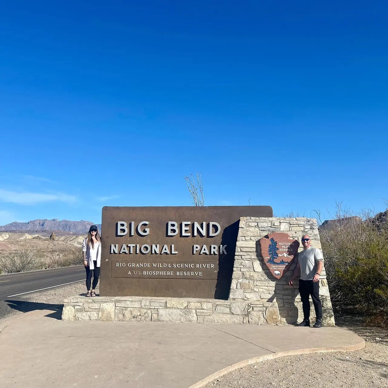
David and Keri at the Big Bend entrance sign
We were here
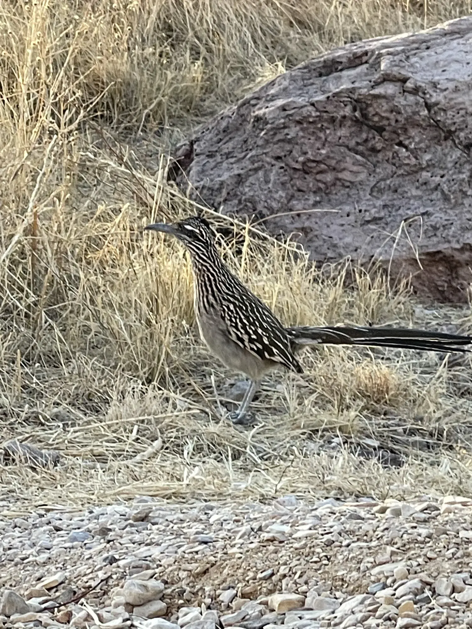
A roadrunner with a long striped tail stands in dry grass beside a boulder in Big Bend National Park
We spotted a roadrunner beside a boulder in Big Bend. · Mar 26, 2022
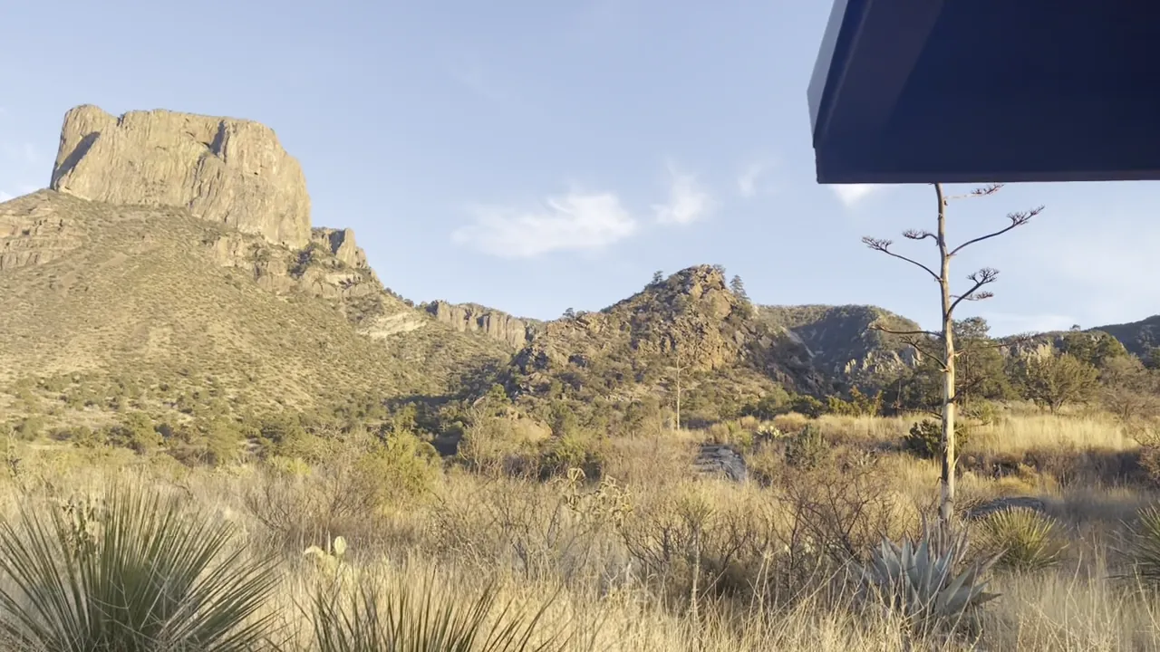
A flat-topped rock peak rises above desert grass and yucca in Big Bend National Park
A flat-topped peak above the desert grass. · Mar 26, 2022
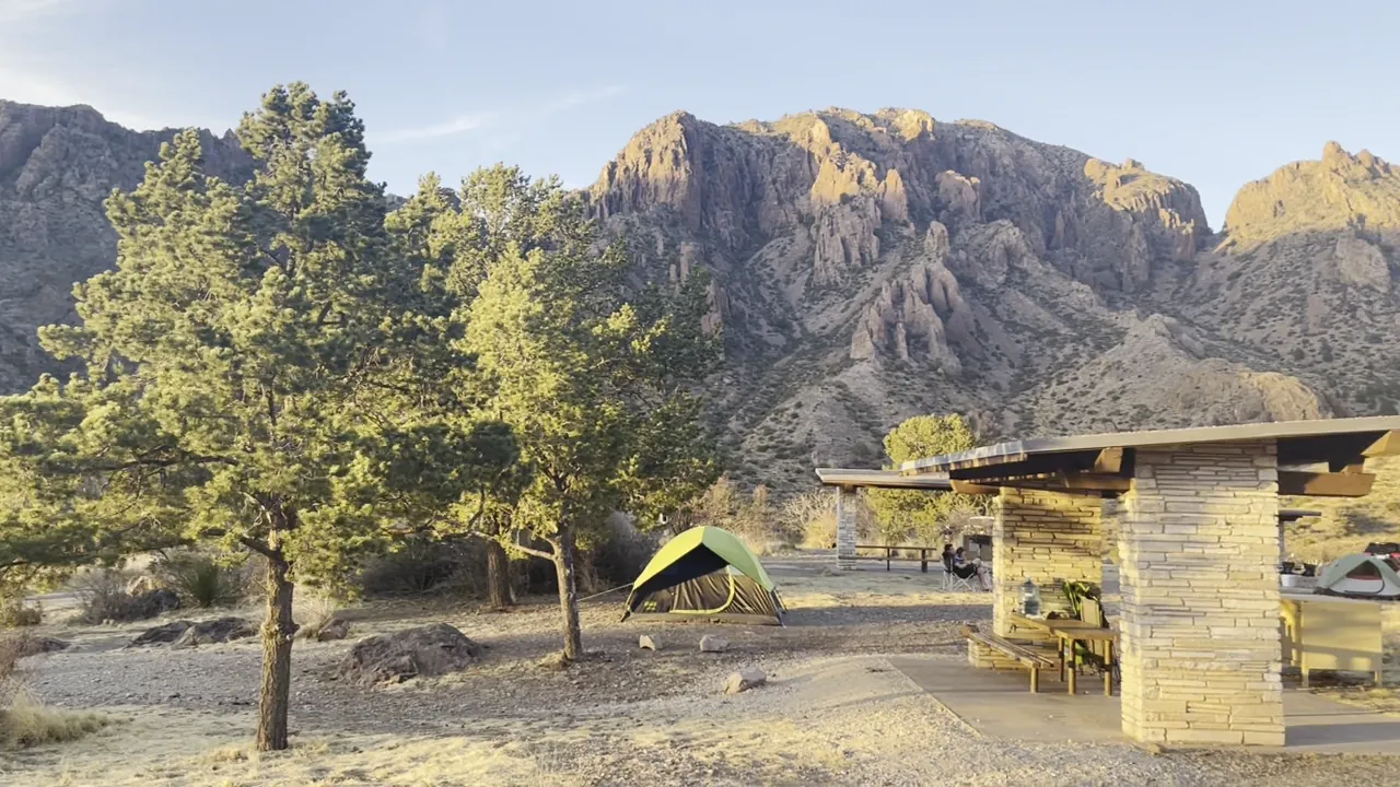
Green trees and a stone picnic shelter at a campsite below rugged mountains in Big Bend National Park
A stone picnic shelter with the Chisos Mountains behind it. · Mar 26, 2022
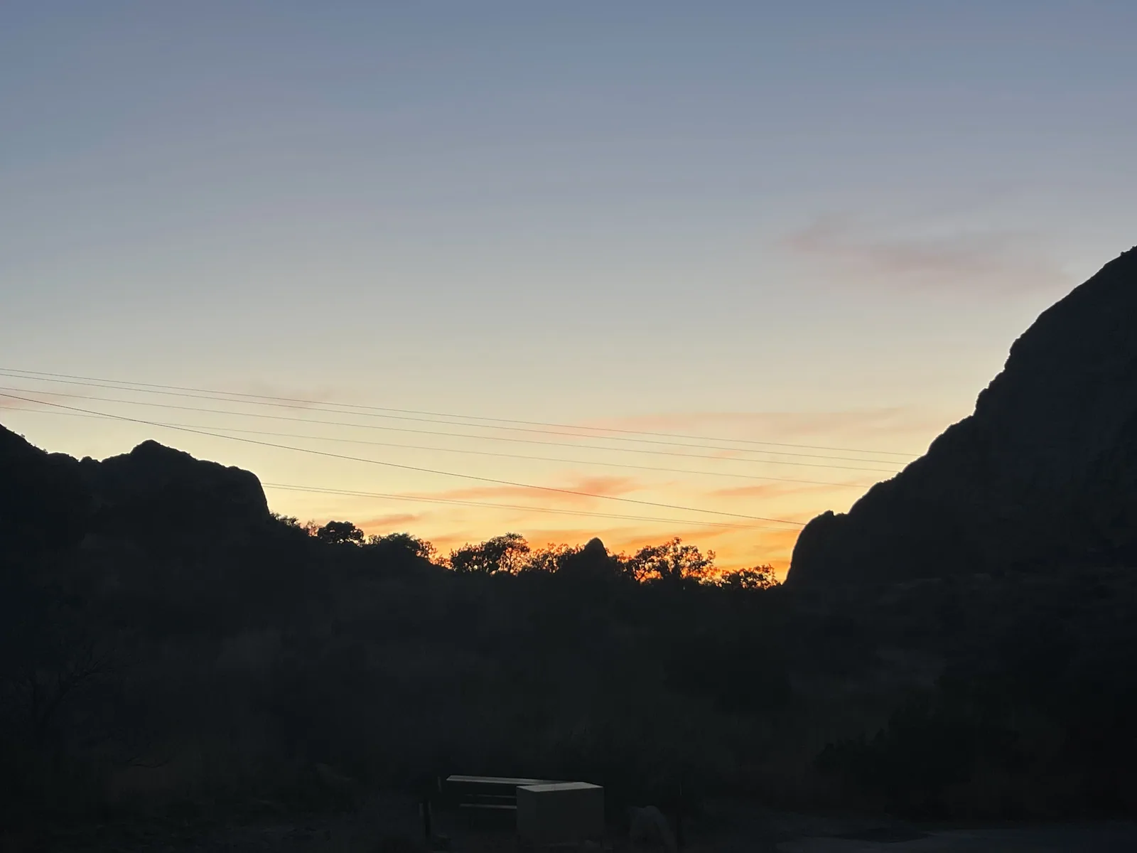
A narrow orange band of light between two dark hills in Big Bend National Park
Orange light between the dark hills on our Big Bend trip. · Mar 26, 2022
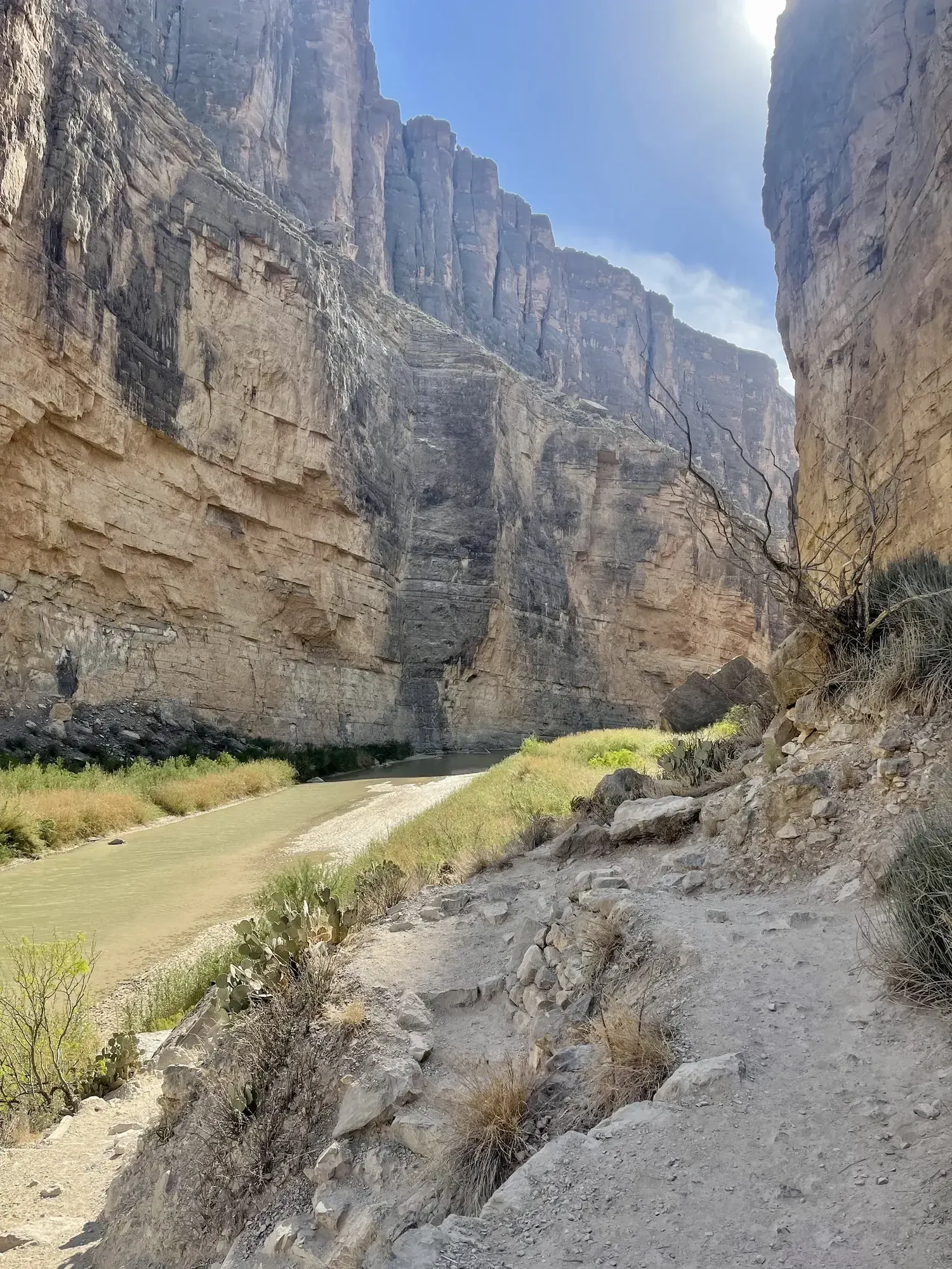
A dirt trail climbs beside sheer limestone canyon walls in Big Bend National Park
Following the trail into Santa Elena Canyon with the river just below. · Mar 27, 2022
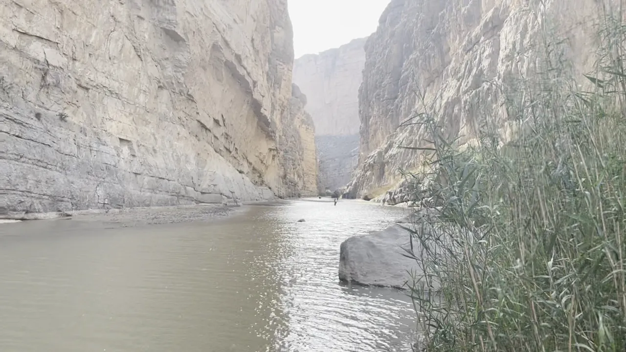
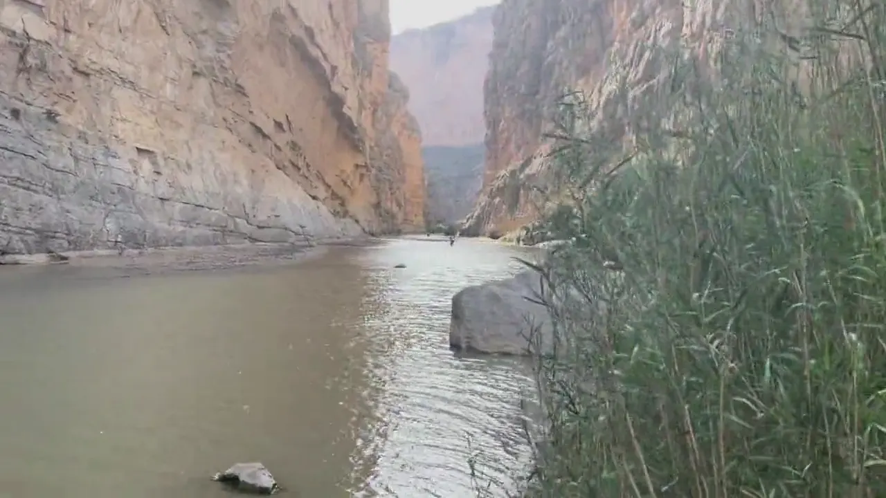
A calm river flows between sheer canyon walls, tall cane lining the bank, in Big Bend National Park
Looking up the Rio Grande between the walls of Santa Elena Canyon. · Mar 27, 2022

Why it’s on our list

Big Bend offers an incredible combination of desert landscapes, rugged mountains, and dramatic canyons carved by the Rio Grande. Its remote location also makes it one of the best places in the country for stargazing and escaping the crowds. While the scenery is beautiful, the enormous distances between attractions and extreme desert conditions make exploring this park more challenging than many others.

Our favorite moment

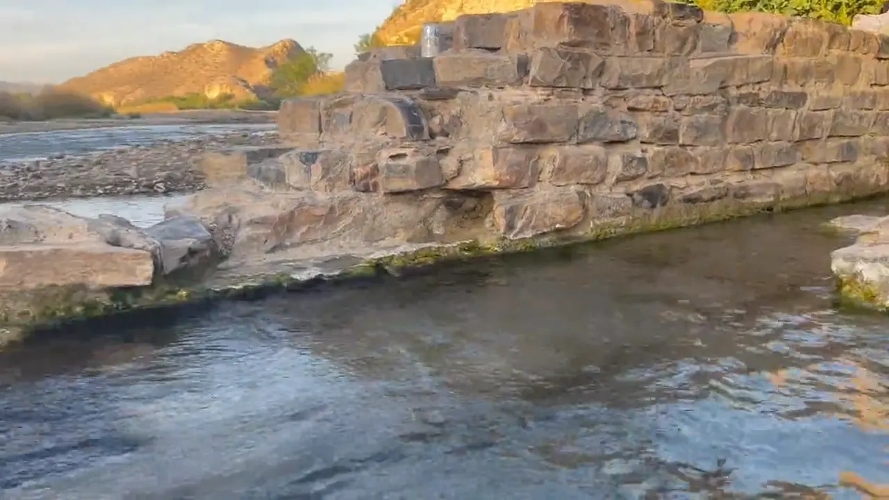
Soaking in the hot spring on the side of the river at sunrise.

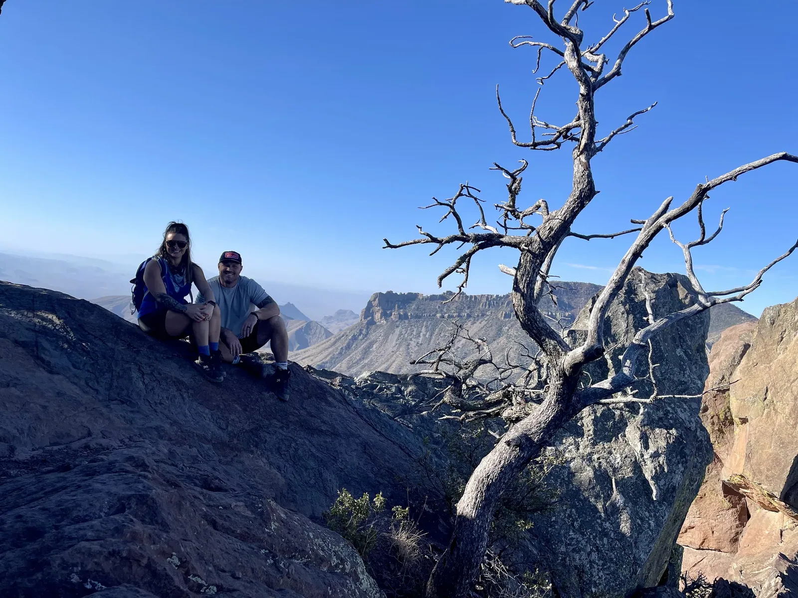
Two people sit on a rocky ridge beside a bare tree with the Chisos Mountains in the distance
A break on the rocks with the Chisos Mountains stretching away behind us. · Mar 27, 2022
See all 28 photos and videos
When we went
March 2022

Photos by David & Keri New.

Firsthand · David & Keri New

What we’d tell a friend about Big Bend

Big Bend is remote and huge, and it’s really three parks in one: the Chisos Mountains, the Chihuahuan Desert and the Rio Grande canyons. We even saw a roadrunner. It feels like the edge of the map, in the best way.

  • Mar 26, 2022 · Tent · about 2 nights
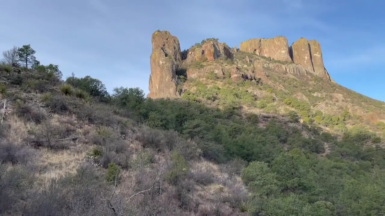
Casa Grande’s rock crown rises above green desert slopes, then the view opens to far ridges
Casa Grande in the Chisos · our video
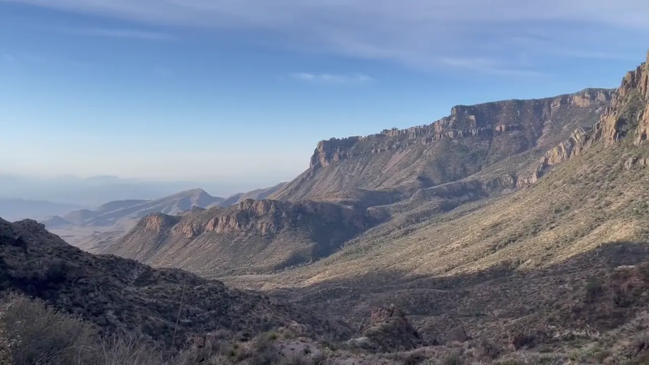
Sunlit cliffs and rock spires of the Chisos Mountains above a wide desert valley
Chisos cliffs in morning light · our video
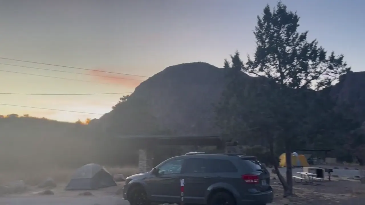
A jagged ridgeline stands in silhouette against the dusk sky above a campground
Desert ridgeline at dusk · our video
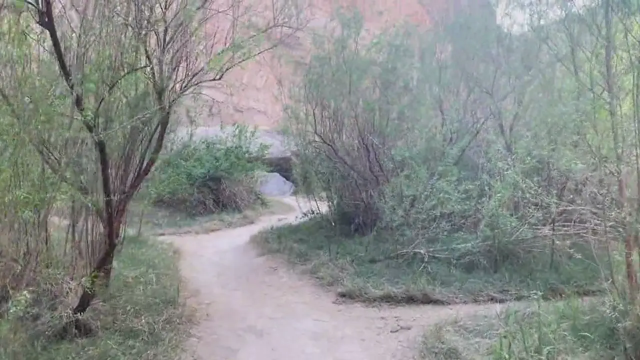
A dirt trail winds between desert shrubs and leafy trees
On a Big Bend trail · our video
A river flows between the sheer walls of Santa Elena Canyon
Inside Santa Elena Canyon · our video
Water flows past the stone edge of the hot spring beside the Rio Grande
The hot spring by the Rio Grande · our video
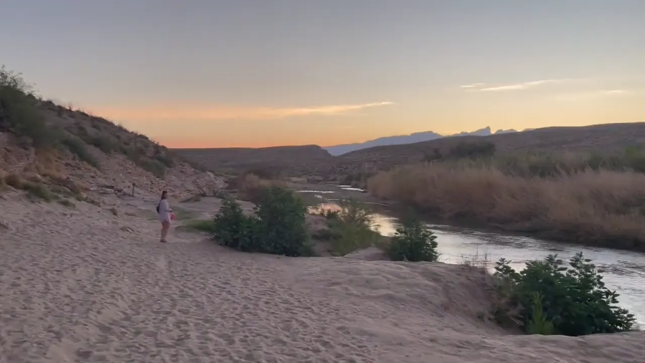
A hiker walks a sandy bank beside the Rio Grande at sunset in Big Bend National Park
Sunset walk by the river · our video
See all 28 photos and videos

Our favorite hike

Santa Elena Canyon Trail

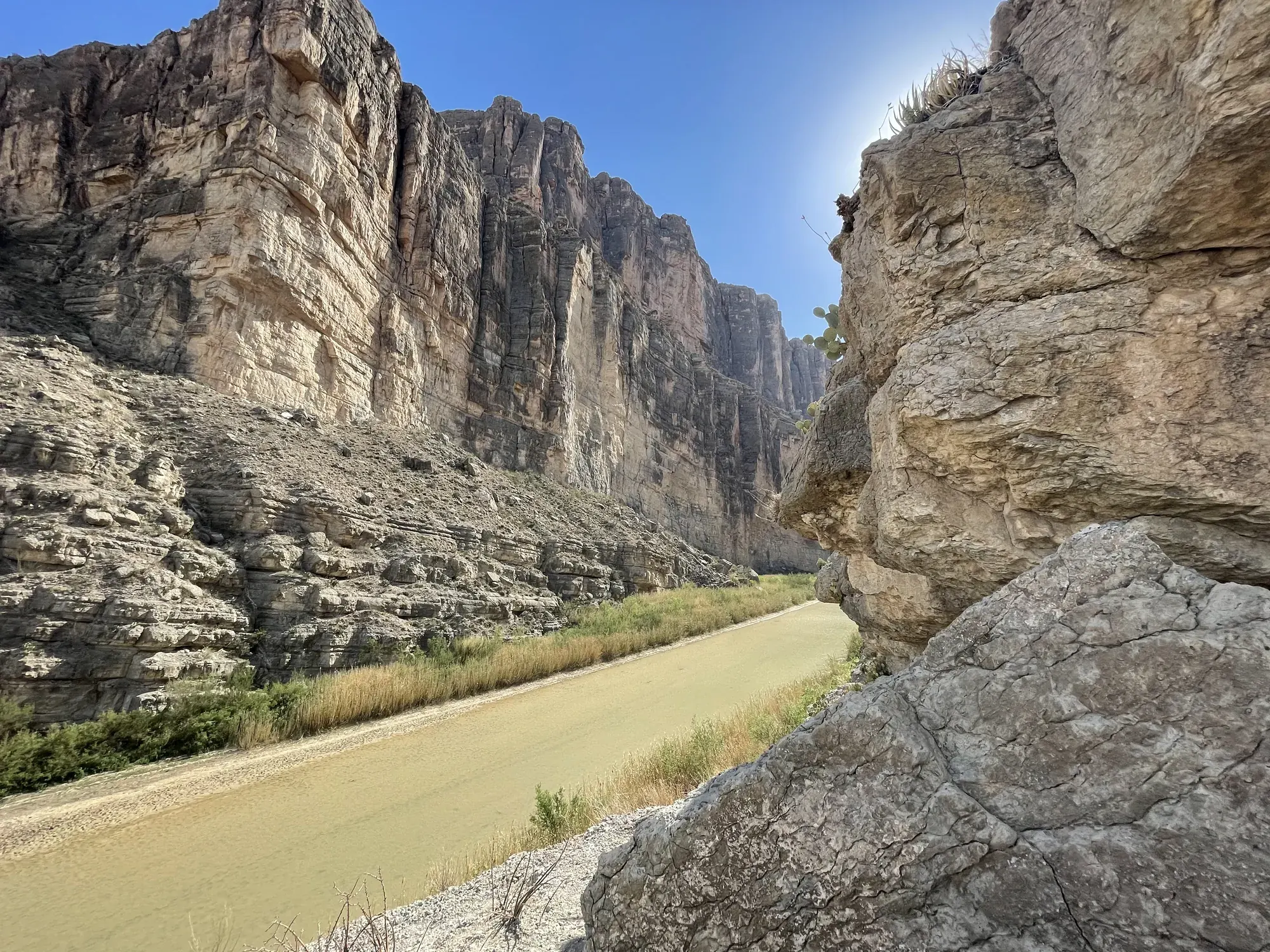
It’s short, but you cross Terlingua Creek, climb a few switchbacks and then walk right into the canyon, with walls about 1,500 feet high on both sides of the Rio Grande. Of the short hikes in the park, this is the one we remember most.
Our one tip

Fill your gas tank and carry plenty of water before you head in. The park is huge, and the drive between areas like the Chisos Basin and Santa Elena can take an hour or more.

What we’d do differently

Stay longer. Big Bend is so spread out that a short trip is mostly driving.

With one more day

Our pick would be the South Rim hike from the Chisos Basin, a long day with views all the way into Mexico.

Was it a good time to go?

Late March is prime season, with warm days and cool nights before the real heat sets in, so it’s a busy time of year too. We had clear to lightly clouded skies most of the trip, though it was hazy and gray the day we were in Santa Elena Canyon.

In town

Terlingua Ghost Town is where to go after a day in the park, and the Starlight Theatre Restaurant there is the dinner spot to know. Marfa and Alpine are good stops on the long drive in.

Where we stayed

Cottonwood Campground

Mar 26, 2022 · Tent · about 2 nights

David 6/10Keri 6/10

I don’t remember a ton about this campground, but it was nice and peaceful when we were there, and it was not overly crowded.

Entry and best time to visit

Entry

No entry reservation required

You still need an entrance pass: $30 per vehicle, good for 7 days.

Fees and permits

Best time

February, November

November and February best. March to April great but packed. October and December solid. May and September hot tradeoffs. June to August desert tops 100°F, skip.

Month by month

Live conditions and planning tools →

What’s different now

Official update, not firsthand

Hot Springs Road is closed past the overflow parking lot until further notice. When the Rio Grande floods, the hot spring itself can be underwater. Last verified · nps.gov

Boquillas Crossing needs a passport book or passport card. A small rowboat ferries you across, and the crossing keeps seasonal days and hours. Last verified · nps.gov

The only full-hookup campground in the park is the concession-run Rio Grande Village RV Campground. Most national park campgrounds do not have full hookups. Last verified · nps.gov

Itineraries

How many days in Big Bend?

  • 2 days

    1. Day 1 Ross Maxwell Scenic Drive and Castolon
    2. Day 2 Chisos Mountains · Lost Mine and Window View
    Full 2-day plan
  • 3 daysOur pick

    1. Day 1 Ross Maxwell Scenic Drive and Castolon
    2. Day 2 Chisos Mountains · Lost Mine and Window View
    3. Day 3 Rio Grande Village and Boquillas Canyon
    Full 3-day plan

Big Bend itinerary: every day stop by stop, with sources

Compare the 2- and 3-day plans, day by day →

Map

Where things are in Big Bend

5 visitor centers and 6 campgrounds on a map you can zoom and drag. Map data loads from OpenStreetMap when you tap.

Big Bend’s park roads and entrances: schematic, not to scale Persimmon GapPanther JunctionLost MineChisos BasinStudy ButteCastolonSanta Elena CanyonRio Grande Village
Schematic, not to scale

5 visitor centers

Locations from the NPS visitor-center listing, checked Nov 13, 2026. Hours and what each one has

6 campgrounds

Locations from Recreation.gov, checked Nov 7, 2026. Compare the campgrounds

Official NPS maps for Big Bend (opens in a new tab) ↗

Trails

14 hikes, shortest first

Towering limestone cliffs rise above a sandy path and a strip of green vegetation in a canyon in Big Bend National Park
Towering limestone cliffs rise above a sandy path and a strip of green vegetation in a canyon · Mar 2022
  1. Window View Trail0.3 mi round trip · Minimal gain · Easy

    0.3 mi

    Details for Window View Trail

    Paved and wheelchair-accessible, with views through the Window. Chisos Basin Trailhead.

    Loop · About 1/4 hour
    Start: Chisos Basin Trailhead near Basin Store; Basin Road.

    Last verified · nps.gov
  2. Rio Grande Village Nature Trail0.75 mi loop · 150 ft gain · Easy

    0.75 mi

    Details for Rio Grande Village Nature Trail

    Starts at campsite 18. The first stretch is a wheelchair-accessible boardwalk over a wetland, good for birding.

    Loop · About 1 hour
    Start: Across from Rio Grande Village campsite 18; park at amphitheater parking lot.

    Last verified · nps.gov
  3. Hot Springs Historic Trail1 mi round trip (0.5 mi to the springs) · Minimal gain · Easy

    1 mi

    Details for Hot Springs Historic Trail

    105°F springs, pictographs and resort ruins. Day use only; no pets or alcohol. Road partly closed (see 2026 alerts).

    Loop
    Start: Hot Springs parking lot at the end of Hot Springs Road.

    Last verified · nps.gov
  4. Boquillas Canyon Trail1.4 mi round trip · Not listed gain · Moderate

    1.4 mi

    Details for Boquillas Canyon Trail

    Climbs a bluff with mortar holes, then drops into the canyon mouth.

    Out and back · About 1 hour
    Start: End of Boquillas Canyon Road.

    Last verified · nps.gov
  5. Santa Elena Canyon Trail1.7 mi round trip · Not listed gain · Moderate

    1.7 mi

    Details for Santa Elena Canyon Trail

    Cross Terlingua Creek (sand, mud or water), then climb paved steps. Note: the road to the trailhead is closed as of Oct 29, 2026.

    Out and back · About 1 hour
    Start: End of Ross Maxwell Scenic Drive, 8 miles west of Castolon.

    Last verified · nps.gov
  6. Chisos Basin Loop2 mi round trip · Not listed gain · Moderate

    2 mi

    Details for Chisos Basin Loop

    Shady pine, oak and juniper with views of the Window.

    Loop · About 1 hour
    Start: Chisos Basin Trailhead near Basin Store; Basin Road.

    Last verified · nps.gov
  7. Grapevine Hills (Balanced Rock)2.2 mi round trip · Not listed gain · Moderate

    2.2 mi

    Details for Grapevine Hills (Balanced Rock)

    The last 1/4 mi climbs steeply into boulders. The road requires a high-clearance vehicle. No shade.

    Out and back · About 1 hour
    Start: Trailhead 6.4 miles along Grapevine Hills Road; high-clearance vehicle required.

    Last verified · nps.gov
  8. Lone Mountain Trail2.7 mi loop · Not listed gain · Easy

    2.7 mi

    Details for Lone Mountain Trail

    1 mi north of Panther Junction.

    Loop · About 1.5 hours
    Start: Access road 1 mile north of Panther Junction.

    Last verified · nps.gov
  9. Lost Mine Trail4.8 mi round trip · Not listed gain · Moderate

    4.8 mi

    Details for Lost Mine Trail

    Starts at mile 5.1 on Basin Road; parking is limited. Even the first mile reaches a saddle with views of Casa Grande.

    Out and back · About 3 hours
    Start: Basin Road, mile 5, at the pass; limited parking.

    Last verified · nps.gov
  10. Chimneys Trail4.8 mi round trip · Not listed gain · Moderate

    4.8 mi

    Details for Chimneys Trail

    Mile 13 of Ross Maxwell Scenic Drive; rock art at the base of the volcanic dikes.

    Out and back · About 2 hours
    Start: Ross Maxwell Scenic Drive, mile 13.

    Last verified · nps.gov
  11. Window Trail5.6 mi round trip · Not listed gain · Moderate

    5.6 mi

    Details for Window Trail

    Descends through Oak Creek Canyon to the Window pour-off. When Oak Creek is flowing, you may have to cross it several times.

    Out and back · About 4 hours from Basin Trailhead; 3 hours from campground
    Start: Chisos Basin Trailhead or Basin Campground near campsite 51; Basin Road.

    Last verified · nps.gov
  12. Ernst Ridge Trail6 mi round trip · Steep gain · Moderate; dangerous in summer

    6 mi

    Details for Ernst Ridge Trail

    Do NOT hike it April-September: people have died here from the heat. Not the way to the hot springs.

    Out and back
    Start: Daniels Ranch Picnic Area, near Rio Grande Village.

    Last verified · nps.gov
  13. Emory Peak10 mi round trip · Not listed gain · Strenuous

    10 mi

    Details for Emory Peak

    Highest point in the park (7,832 ft). The last quarter mile or so climbs steeply.

    Out and back · About 7 hours
    Start: Chisos Basin Trailhead near Basin Store; follow Pinnacles Trail.

    Last verified · nps.gov
  14. South Rim12-14.5 mi round trip · About 2,000 ft gain · Strenuous

    12–14.5 mi

    Details for South Rim

    Go up the Pinnacles or the more gradual Laguna Meadows trail. The Northeast and Southeast rim sections close during peregrine falcon nesting season.

    About 8 hours; 10 hours including East Rim
    Start: Chisos Basin Trailhead near Basin Store; Basin Road.

    Last verified · nps.gov

Distances, gains and difficulty as NPS publishes them; the bar shows the published distance, dashed where a longer option exists.

Camping

4 campgrounds in Big Bend

Open in season
4
A night
$16–$36
Sites
196
With hookups
1
  • Chisos BasinSee dates · $16 a night · RVs to 24 ft, trailers to 20 ft
  • Rio Grande VillageSee dates · $16 a night
  • Rio Grande Village RV ParkSee dates · $36 a night · rigs to 38 ft
  • CottonwoodSee dates · $16 a night

Camping in and near Big Bend: all 4 campgrounds, every site, nearby campgrounds and open sites for your dates

Fees, permits & rules

Big Bend entrance fee: $30 per vehicle, plus permits and when to book

Last verified · nps.gov All Big Bend fees, permits and booking deadlines →

Rules and changes for 2026

  1. Chisos Basin construction cancelled

    The planned Chisos Mountains Lodge rebuild and Basin projects (originally starting May 2026) will not proceed as planned. The previously planned Chisos Basin closures will not happen, and the park stays fully open.

    Last verified · Construction Cancelled (NPS, Apr 1, 2026)
  2. Weather-related road closures

    As of Nov 1, 2026, closed until further notice: the paved road between Cottonwood Campground and Santa Elena Canyon, Old Maverick Road, River Road, Hot Springs Road, Paint Gap Road, and Glenn Springs Road past Rice Tank. Black Gap Road is closed after 2025 flash floods. Cottonwood Campground, where the closed stretch starts, is open for the season (see Camping).

    Last verified · Alerts & Conditions (NPS)
  3. Backcountry permits in person only

    Because of heavy rain and road closures, all backcountry campsites can be obtained only in person at Panther Junction Visitor Center (daily 8:30 am-5 pm) until further notice. Online booking is normally available up to 6 months ahead.

    Last verified · Backcountry Use Permits (NPS, Jul 20, 2026)
2 more rules and changes
  1. Lodge restaurant closed

    The Chisos Basin restaurant is closed. A food truck outside the main lodge building is open daily 8 am-8 pm (closed 10-11 am).

    Last verified · Alerts & Conditions (NPS)
  2. Boquillas crossing hours

    The Boquillas Crossing Port of Entry is open Friday-Monday, 9 am-4 pm, until further notice; it won’t switch to winter hours for now (the conditions page lists the same hours on Nov 1, 2026). A passport book or card is required (enhanced licenses don’t count).

    Last verified · Visiting Boquillas (NPS)

Crowds by month

Historical recreation visits · 2021–2025 · as of Nov 3, 2026. Visits count entries, not unique people, parking spaces or trail crowding.

Average monthly recreation visits, 2021–2025
Jan46,388
Feb48,002
Mar93,143
Apr66,154
May42,582
Jun24,638
Jul20,245
Aug16,691
Sep24,605
Oct47,188
Nov58,815
Dec58,354

Busiest by average count: Mar. Quietest: Aug. Each bar is that month’s average visits across 5 years; unusual years and reported zeros are included. Past visits can’t tell you the best time of day to arrive.

Every month’s visits and NOAA weather, with the counts for each year →

NPS Visitor Use Statistics: monthly report · NPS monthly data · checked Nov 3, 2026; latest included year 2025.

How this page is made. The section “What we’d tell a friend” is ours. Our recorded visits to Big Bend include March 2022.Planning information, including any fees, permits, closures, weather and crowd figures shown here, is compiled from the National Park Service, Recreation.gov and other public sources, and each fact shows the date we last checked it. If something is wrong, tell us and we’ll log the fix on our corrections page.

Sources & corrections

The core guide research was last verified Nov 20, 2026 against the linked National Park Service and Recreation.gov pages. Live conditions and separately sourced facts show their own dates. Park rules change; confirm before you go.

Report a correction · Corrections log

Photos: David & Keri New.

Where sources disagree (10)
  • Boquillas hours: The FAQ (updated Oct 2024) says Wednesday to Sunday in winter. The newer Boquillas page and the conditions page (Nov 1, 2026) say Friday to Monday, 9 am-4 pm, until further notice, with no winter change. This guide uses Friday-Monday.
  • Trail mileage: The day hikes page says ‘more than 150 miles’. The safety page says ‘over 200 miles’.
  • Chisos Basin construction: The Chisos Basin Campground page (updated Jan 30, 2026) still warns of construction starting Spring 2026. The newer construction update (Apr 1, 2026) says the project will not proceed as planned and the Basin closures will not happen. This guide uses the newer page.
  • Lodge: The FAQ mentions a dining room. The conditions page says the restaurant is closed and a food truck is operating.
  • Busy season: The basic info page and FAQ say November to April. The busy times page (updated Nov 2024) says October to April, but also says campgrounds are full November through April. This guide uses November-April.
  • Basin Road climb: The biking page says 1,650 ft over 7 mi. The paved roads page says ‘over two thousand feet’.
  • Backcountry permits: An older NPS backcountry page said to pick them up at Chisos Basin or Panther Junction. The current Backcountry Use Permits, Camping and Primitive Roadside Campsites pages (updated Jul 20, 2026) say Panther Junction Visitor Center only, until further notice. This guide uses Panther Junction.
  • Commercial sedan prices differ between the NPS fee heading and description. Confirm with the park.
  • Day-use group permit thresholds differ between the special-use page and regulations. We follow the Superintendent’s Compendium.
  • NPS pages disagree on how many Chisos backpacking campsites accommodate 15 people; Colima #1 is the only one. We follow Backpacking in Big Bend.