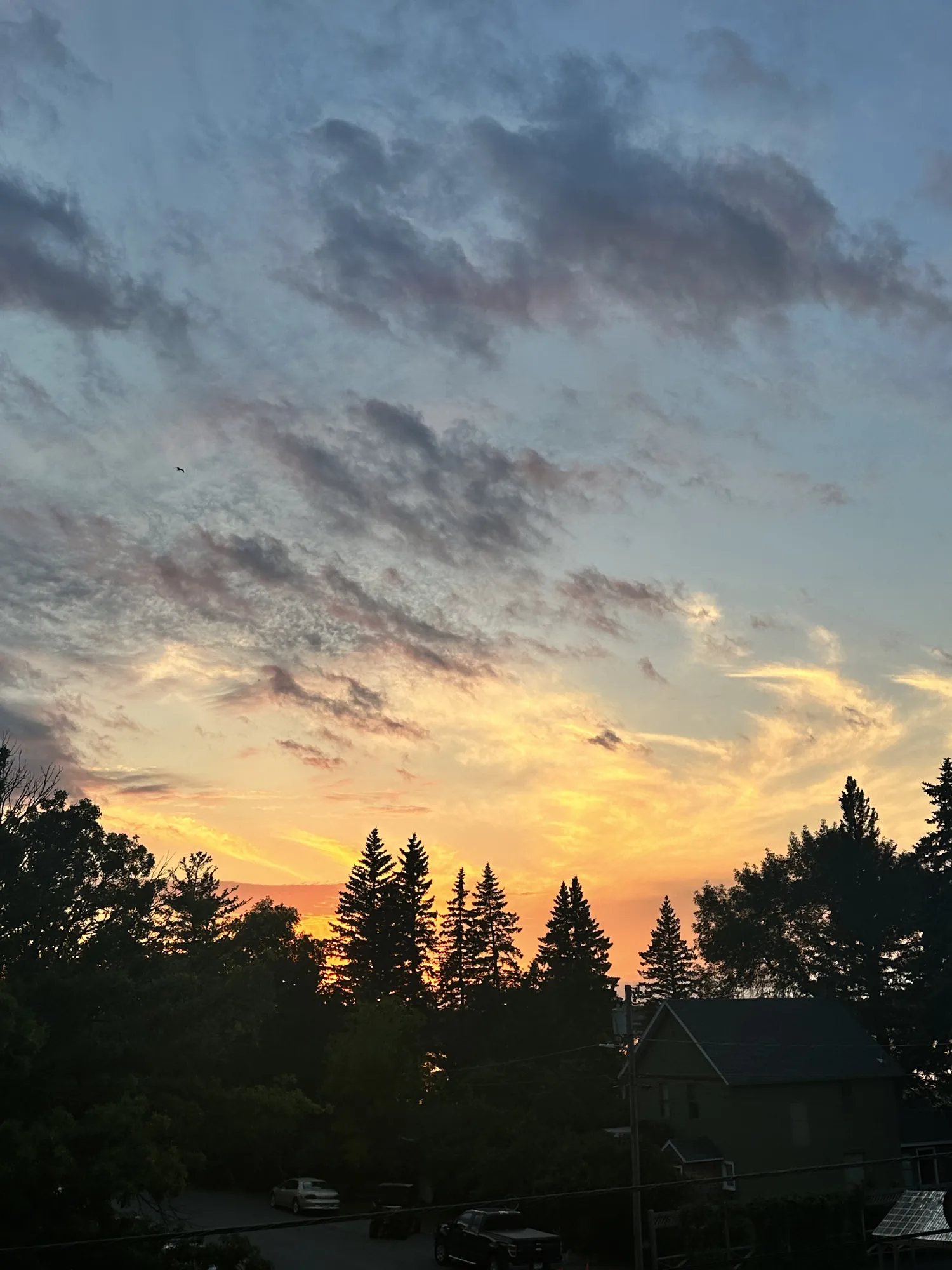
Oberholtzer Trail
Wander through deciduous and conifer forest as the trail twists around the edge of a cattail filled wetland and past rocks deposited by ancient glaciers. Look for signs of wildlife as you hike to two different overlooks with marsh and lake views.
Voyageurs · Photo: David & Keri New
- 1.6 miDistance
- 45–80 minTime
- EasyDifficulty
The numbers, with sources
Distance: 1.6 miles round trip; accessible portion is 0.5 miles round trip. Source
Gain: The NPS doesn’t publish the elevation gain. Source
Time: 45–80 minutes Source
Difficulty: Easy; full route has roots and rocks Source
Trailhead: Trailhead is on the south side of the Rainy Lake Visitor Center. Source
Route type: out-and-back Source
Built from official sources (checked Nov 3, 2026). Confirm current conditions with the park.
Recreation.gov permits, entrances & campgrounds
Recreation.gov (RIDB). Booking records date not published. NPS guidance above takes precedence. A listing doesn’t mean you need a permit or that there’s space on your dates.
Park campground options (1)
These records belong to the park’s NPS recreation area. We haven’t checked how close these are to the trail, when they open or whether sites are free; check the map and the booking page.
Voyageurs National Park Camping Permits — Campground; RIDB reservable: yes. Season: not published in structured RIDB data. Recreation.gov (RIDB) source · Booking details
Route, junction by junction
Trailhead → Selected destination or loop
The first quarter mile is flat crushed gravel, four feet wide. Beyond that point the dirt path becomes uneven with roots and rocks. Use the surface transition as a deliberate decision point for mobility equipment. NPS describes two overlooks with marsh and lake views, but does not assign an accessible designation to every part of the route. Source
No elevation profile yet:
No elevation profile yet: we haven’t verified complete measurements for this route. Source
In-depth guide
Compiled from linked sources, checked Nov 2, 2026. Each paragraph links to its source.
Is this hike for you?
The Oberholtzer Trail is an easy forest and wetland walk from the Rainy Lake Visitor Center. The whole trail is 1.6 miles (2.6 km) round trip, and the accessible part is 0.5 miles (0.8 km) round trip. The NPS gives 45–80 minutes but doesn’t say if that’s for the full trail or the short one. Source
The trail
The trail winds through deciduous and conifer forest around the edge of a cattail-filled wetland and past rocks left by ancient glaciers, to two overlooks with marsh and lake views. Look for signs of wildlife. The first 1/4 mile is a flat, 4 foot wide crushed gravel path. After that the dirt path is uneven, with roots and rocks. The NPS has a video of the trail and a map you can download. Source
Getting to the trailhead
The trailhead is on the south side of the Rainy Lake Visitor Center. The NPS doesn’t list the building’s hours or say if there’s water, so bring what you need. Source
Before you go
It’s a hiking trail in summer and a snowshoe trail in winter. We didn’t find a current alert for it, but check the park’s alerts and the trailhead signs before you go. If the group is slower than you expected, turn back early. Source · Source 2
The NPS doesn’t publish an elevation gain, and there’s no elevation profile yet: we haven’t verified complete measurements for this route. Source · Source 2
Kids, strollers and wheelchairs
The accessible part is the flat gravel stretch at the start. If you need a smooth surface, turn around where the gravel ends: past it, the roots and rocks make the full 1.6 miles a different trip. The NPS doesn’t say if the overlooks are accessible and doesn’t give a minimum age. Source
Getting there and back
Trailhead is on the south side of the Rainy Lake Visitor Center. Source
Return: Come back the way described above. Return along the same trail unless a separate transport plan has been confirmed. Source
Water
No complete route-specific drinking-water or restroom schedule confirmed. Carry water for the whole hike. Source
Hazards
This trail is accessible for the first 1/4 mile on a 4 foot wide, flat crushed gravel trail. Beyond that the dirt path is uneven with roots and rocks. Source
Season
Summer Use: Hiking Winter Use: Snowshoeing Source
Summer Use: Hiking Winter Use: Snowshoeing Source
Gear & rules
Follow current signs and closures, and treat any side trip as a separate decision. Source
Filling a gap in your kit? Compare these packing essentials on Amazon. Choose gear for your route, conditions and the park’s guidance.
As an Amazon Associate we earn from qualifying purchases. How this works
Pets are not allowed on trails at Voyageurs national Park to prevent the possible transmission of diseases to the wolf population. Source
Questions
Which route do these figures describe?
1.6 miles round trip; accessible portion is 0.5 miles round trip. Oberholtzer is a land-access forest and wetland walk at Rainy Lake Visitor Center. The full hike is 1.6 miles round trip, and the accessible part is half a mile round trip. Keeping those figures side by side prevents a limited accessible segment from being mistaken for the complete route. Source
Is the trail open right now?
No. NPS details as of Nov 3, 2026. Confirm current conditions and closures with NPS. Source
Is there a measured elevation profile?
No elevation profile yet: we haven’t verified a complete line for this route. Source
Alternatives
The trailhead is on the south side of the visitor center. The activity lists hiking for summer and snowshoeing for winter. The published 45–80-minute duration covers the general activity rather than certifying a pace for either the accessible portion or the complete walk. Allow separate time for the overlooks and return. Source
More Voyageurs trail guides
- Blind Ash Bay Trail2.9 mi · Moderate