Our favorite hike
Blind Ash Bay Trail
It goes up and over rocky ridges and looks out on Kabetogama Lake and Blind Ash Bay. If you want to see the lakes from above without a boat, this is how.

Minnesota
A water-based park of interconnected lakes on the Canadian border. Most of it is reached by boat in summer and over the ice in winter.
By David & Keri New, who have visited 63 of the 64 U.S. national parksUpdated
55Park 55 of our 63Visited Jul–August 2023
Saves this park and its trail guides on this device. Alerts and conditions are as of when you save; live maps and bookings need a connection.
NPS alertsAs of 6:03 AM ET, Nov 20
2 days is our starting point.
Use two full days from a mainland base: a booked Rainy Lake boat trip and a separate Ash River day for Blind Ash Bay. Add a third day only for a confirmed Kabetogama sailing you want to take.
Open the 2-day itineraryOpen the 3-day itineraryNational Park Service guidance
Book a 2.5-hour boat tour, such as the Grand Tour from Rainy Lake Visitor Center, and check in at the visitor center before boarding. Tours typically run mid-June through September. Tickets go on sale at 9 am on April 15.
Add the ranger-led North Canoe Voyage, a 1.5-hour program in a 26-foot replica canoe from the Rainy Lake or Ash River Visitor Center. Paddling is required, the minimum age is 8, and it depends on the weather.
If your sailing is canceled, check road and trail access for the Ash River shore day. Walk Blind Ash Bay or stop at the Kabetogama Lake Overlook if open and conditions are suitable. If storm conditions also affect shore access, reschedule.
Open the backup itineraryNPS park conditionsBlind Ash Bay shore hike
International Falls or Ranier for Rainy Lake, or Kabetogama for a southern start
Pick the overnight town from the departure point on your ticket. Allow a separate drive to Ash River or Kabetogama when you change lake areas.
Lodging and gateway townsNPS visitor center hoursNational Park Service guidance
Choose the lake and confirm the departure visitor center before reserving a room. Book the Rainy Lake tour first for the two-day route. Check Kabetogama or Ash River departures separately. If camping on an island, match your reserved site to your boat and launch.
National Park Service guidanceVoyageurs boat tour reservationsNational Park News guide
Voyageurs is about 5 hours north of Minneapolis-St. Paul and 3 hours from Duluth. The nearest airport is Falls International in International Falls, and there is no public transportation. You can drive to visitor centers and some trails, but most campsites need a boat.
Our visit
July 2023
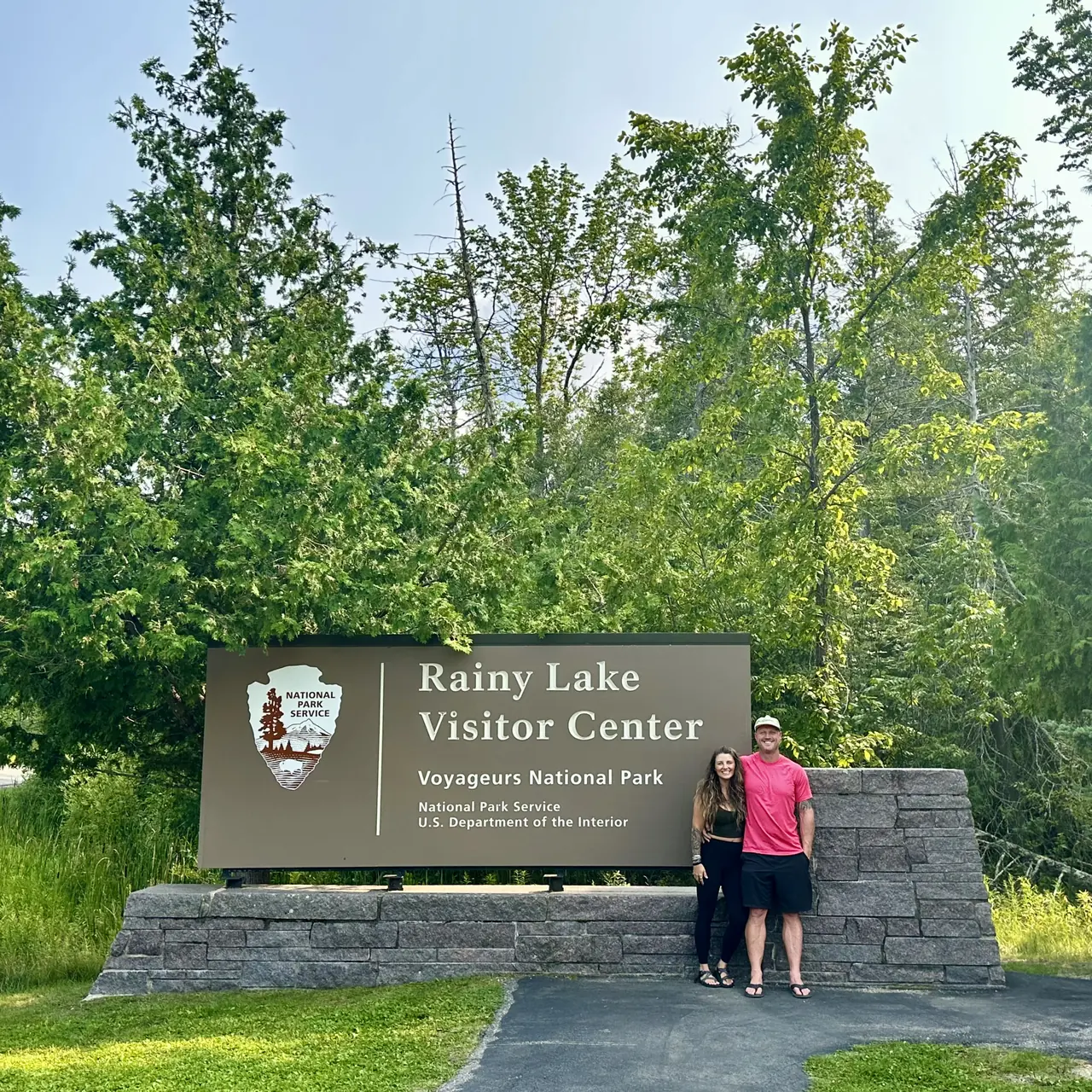
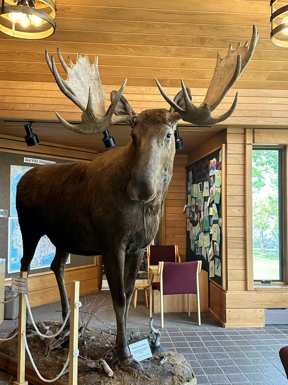
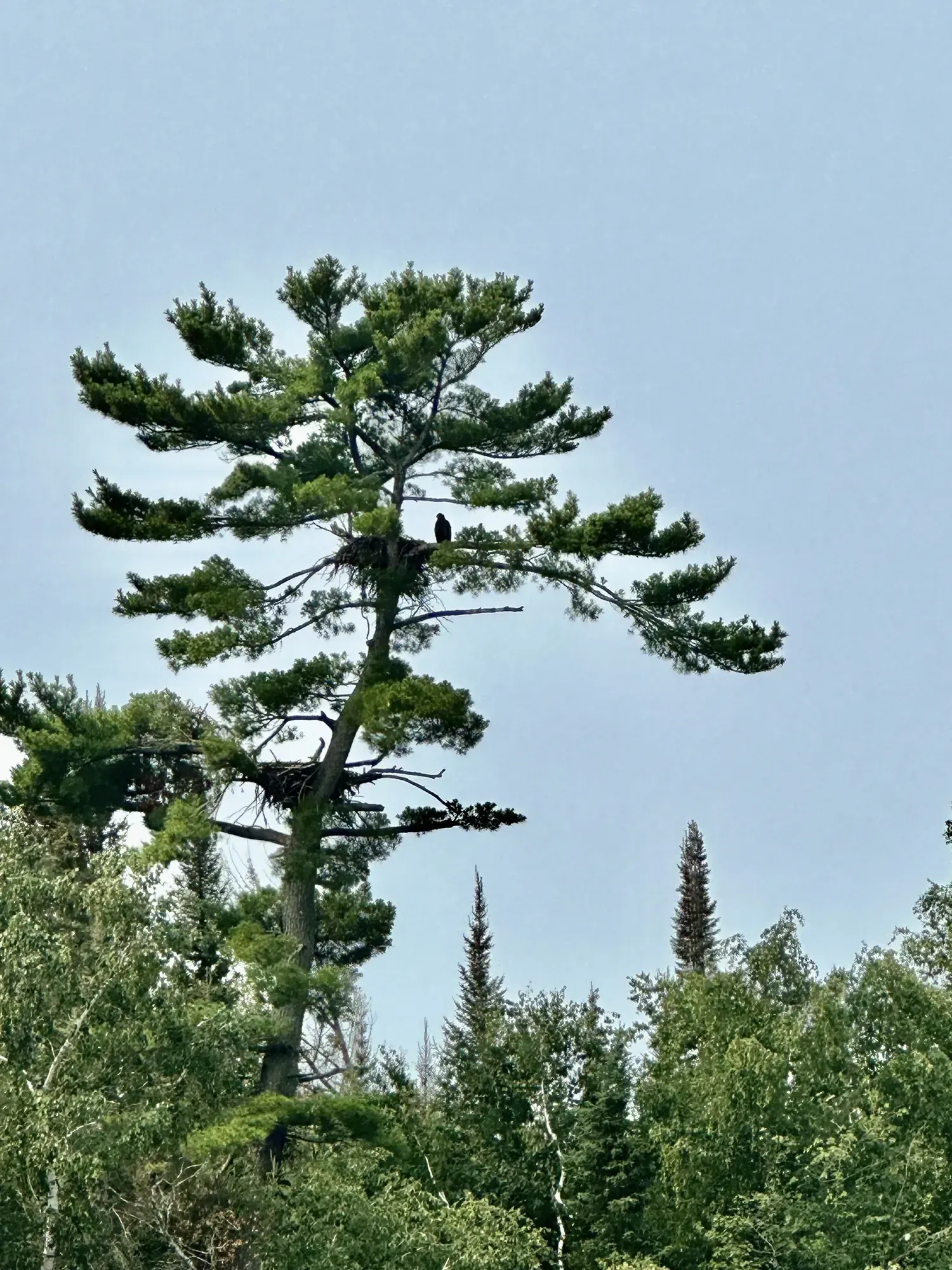
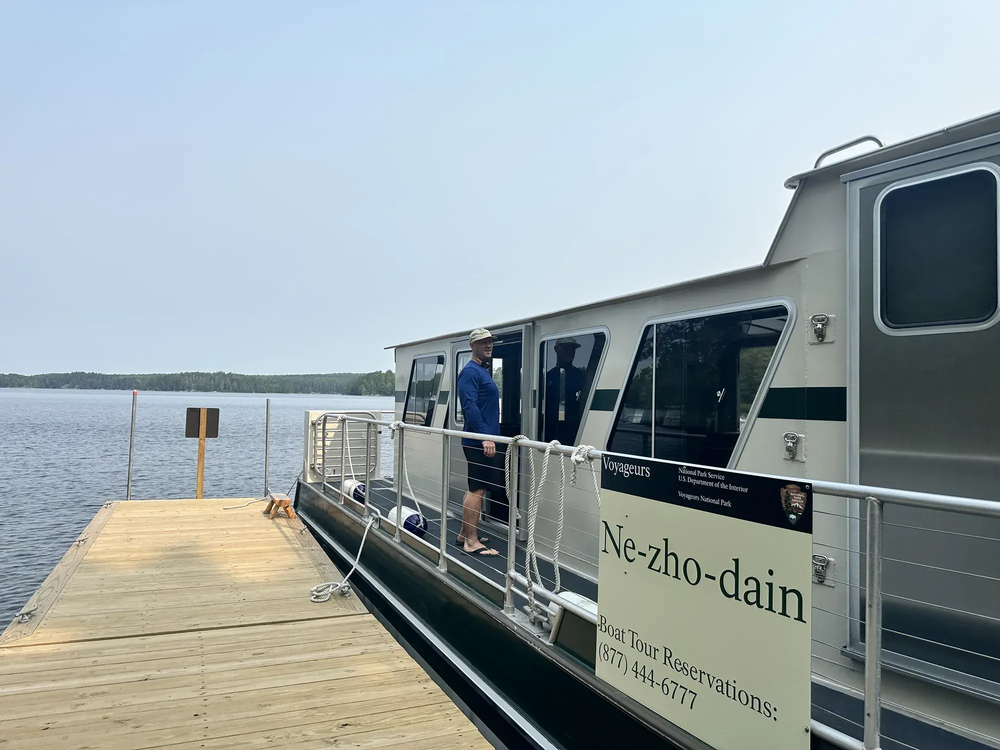
Why it’s on our list
Voyageurs is a beautiful water-based park featuring countless islands, peaceful lakes, and remote forest scenery along the Canadian border. It’s an excellent destination for boating, fishing, kayaking, and enjoying the solitude of northern Minnesota. However, many of the park’s best experiences require access to a boat, and the landscape doesn’t offer the same dramatic scenery as many of our favorite parks.
Our favorite moment
Taking the park’s boat tour and watching the sunset over the water.
Photos by David & Keri New.
Firsthand · David & Keri New
Voyageurs is a park you see from the water. Big connected lakes, rocky islands and pine shoreline run along the Canadian border. We took the park’s boat tour, and watching the sunset over the water is a favorite memory from this slow, peaceful park.
Blind Ash Bay Trail
It goes up and over rocky ridges and looks out on Kabetogama Lake and Blind Ash Bay. If you want to see the lakes from above without a boat, this is how.
This is a water park, so you need a boat. Rent a houseboat or take a park boat tour from the Rainy Lake or Kabetogama visitor center, and reserve houseboats well ahead for summer.
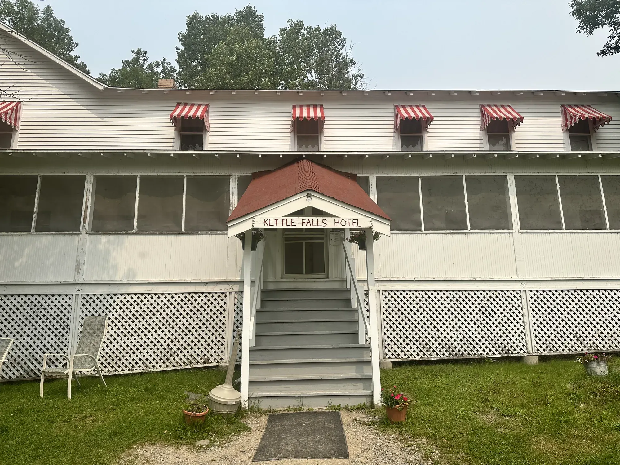
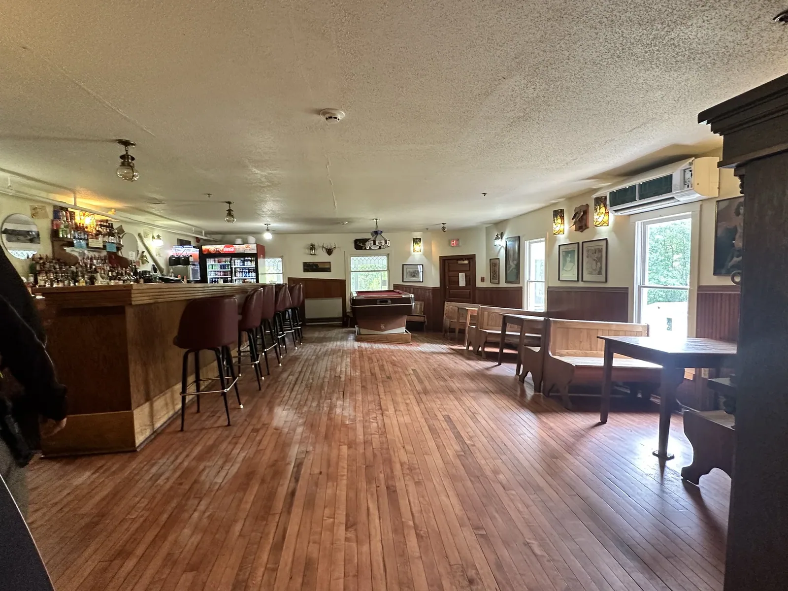
Ellsworth Rock Gardens and the Kettle Falls Hotel are both a boat ride away, and that’s where we’d head.
Peak boating season runs from late July into early August, with long days and warm water. It was hazy for us, in a summer with a lot of Canadian wildfire smoke, but that didn’t spoil the sunsets.
International Falls is the gateway town. The big Smokey Bear statue in Smokey Bear Park makes a fun, quick stop.
Night in a nearby town
We drove there and took the park’s boat tour. We stayed one full day in the park and spent the night in a nearby town.
Best time
July, August, September
Best by boat June-September. September adds color and fewer bugs. February suits winter trips. April thaw and November freeze-up limit access.
Month by monthItineraries
2 daysOur pick
3 days · Add a different lake tour
Compare the 2-day plans, day by day →
Map
4 visitor centers and 1 of the 4 campgrounds on a map you can zoom and drag. Map data loads from OpenStreetMap when you tap.
Visitor centerCampground Roads and trails are community-mapped; check closures with the park.
Locations from the NPS visitor-center listing, checked Nov 13, 2026. Hours and what each one has
Locations from Recreation.gov, checked Nov 7, 2026. Not on this map: Frontcountry boat-in campsites, Backcountry campsites and Primitive Kab-Ash Trail sites (no Recreation.gov location in our data). Compare all 4 campgrounds
Trails
0.4 mi
Accessible crushed-gravel path to a bench overlooking the lake.
Out and back · About 10-30 minutes
Start: Third parking area on Meadwood Drive toward Ash River Visitor Center.
1.5 mi
An old forest road to a bay viewpoint with a picnic table and fire ring.
Out and back · About 30-90 minutes
Start: Meadwood Drive, 0.9 miles south of Ash River Visitor Center; park on grass in front of the gate.
1.5–2.5 mi
Wide trail past beaver wetlands; cross-country skiing in winter.
Loop · About 40-120 minutes
Start: Three miles from Kabetogama Lake Visitor Center, off County Road 122.
1.6 mi
Forest, a cattail wetland and glacier-deposited rocks, with two overlooks; snowshoeing in winter.
Loop · About 45-80 minutes
Start: South side of Rainy Lake Visitor Center.
2.9 mi
Narrow, rocky boreal forest trail; good birding. The first section is the steepest.
Lollipop loop · About 1-3 hours
Start: Upper parking lot at Ash River Visitor Center; also reachable from Kabetogama Lake Overlook Trail.
4 mi
Steep hills and stairs; the gateway to the Chain of Lakes, where you can rent canoes by reservation.
Out and back · About 2-5 hours
Start: Boat to the north shore of Kabetogama Lake, across from the visitor center.
8 mi
Crosses the Kabetogama Peninsula over rocky ridges and wetlands.
One way (point to point) · About 4-8 hours one way
Start: Boat to Anderson Bay on Rainy Lake or eastern Lost Bay on Kabetogama Lake; docks at both ends.
28 mi
The park’s longest trail, between Kabetogama and Ash River. Can be overgrown; route marked by cairns. Two hike-in campsites.
Trail network · About 1-5 days
Start: Access from County Road 129, Meadwood Road, or Ash River community. Salmi Road entrance is closed.
Distances, gains and difficulty as NPS publishes them; the bar shows the published distance, dashed where a longer option exists.
Camping
Fees, permits & rules
Last verified · nps.gov All Voyageurs fees, permits and booking deadlines →
Peak-season campsites (Friday before the MN fishing opener through Oct 15) and houseboat permits for 2027 open on Recreation.gov (Voyageurs National Park Camping Permits) on Nov 15, 2026 at 9 am CST. Off-season sites open the previous April 15.
Last verified · Permits & Reservations (NPS)As of Oct 21, 2026, hazard buoys and secondary navigation aids have been removed from Rainy, Kabetogama, Namakan and Sand Point lakes, and the U.S. Coast Guard has removed most primary navigation buoys. Use charts or GPS, and take extra care.
Last verified · Current Conditions (NPS, Oct 2026)In 2026, all 17 campsites, houseboat sites and day-use sites on and around Dryweed Island (Rainy Lake), including R6, R11, R44, R64, R73 and R107, were closed because of bear activity. The current conditions page (the most recent NPS notice) gave the closure through the end of October 2026; the permits page still says end of September. No reopening update was posted as of Nov 1, 2026. Check current conditions before booking these sites.
Last verified · Current Conditions (NPS)Since Aug 24, 2026, campfires are allowed again in designated metal fire rings, and charcoal fires are allowed in metal fire rings and grills. NPS notes that drought continues in much of Minnesota.
Last verified · Current Conditions (NPS)Use the Ash River Trail (County Road 129) or Meadwood Road trailheads instead.
Last verified · Primitive Camping (NPS)Permanently closed. Reach the Chain of Lakes by the Locator Lake Trail.
Last verified · Locator Lake Trail (NPS)Email me this guide Get a link to the Voyageurs guide in your inbox, to open again when you plan or before you go.
One email with the link. We don’t add you to any list unless you tick the box.
Historical recreation visits · 2021–2025 · as of Nov 3, 2026. Visits count entries, not unique people, parking spaces or trail crowding.
Busiest by average count: Aug. Quietest: Apr. Each bar is that month’s average visits across 5 years; unusual years and reported zeros are included. Past visits can’t tell you the best time of day to arrive.
Every month’s visits and NOAA weather, with the counts for each year →
NPS Visitor Use Statistics: monthly report · NPS monthly data · checked Nov 3, 2026; latest included year 2025.
Plan your visit
For any park: passes and free entrance days · what to pack · visiting with kids · stargazing
Getting there and park logistics →
Find a place to stay near Voyageurs → See camping and backup options for this park.
How this page is made. The section “What we’d tell a friend” is ours. Our recorded visits to Voyageurs include July 2023 and August 2023.Planning information, including any fees, permits, closures, weather and crowd figures shown here, is compiled from the National Park Service, Recreation.gov and other public sources, and each fact shows the date we last checked it. If something is wrong, tell us and we’ll log the fix on our corrections page.