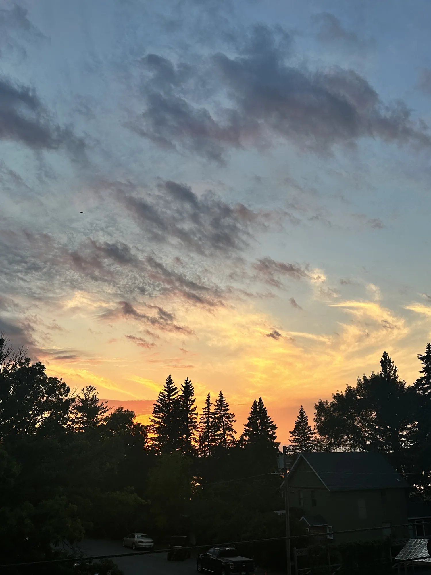
Blind Ash Bay Trail
This narrow, winding, rocky trail exposes users to the wonders of the boreal forest. This path is great for birding, it is also frequented by deer and other wildlife. From closed in forest to post card worthy views of Kabetogama Lake, this lollipop loop trail has it all.
Voyageurs · Photo: David & Keri New
- 2.9 miDistance
- 1–3 hrTime
- ModerateDifficulty
The numbers, with sources
Distance: 2.9-mile lollipop loop Source
Gain: The NPS doesn’t publish the elevation gain. Source
Time: 1–3 hours Source
Difficulty: Moderate Source
Trailhead: The trailhead is in the upper parking lot by Ash River Visitor Center. The trail can also be reached from the Kabetogama Lake Overlook trail. Source
Route type: loop Source
Built from official sources (checked Nov 3, 2026). Confirm current conditions with the park.
Recreation.gov permits, entrances & campgrounds
Recreation.gov (RIDB). Booking records date not published. NPS guidance above takes precedence. A listing doesn’t mean you need a permit or that there’s space on your dates.
Park campground options (1)
These records belong to the park’s NPS recreation area. We haven’t checked how close these are to the trail, when they open or whether sites are free; check the map and the booking page.
Voyageurs National Park Camping Permits — Campground; RIDB reservable: yes. Season: not published in structured RIDB data. Recreation.gov (RIDB) source · Booking details
Route, junction by junction
Trailhead → Selected destination or loop
The trail is narrow, winding and rocky, with exposed roots and changes in elevation. The first section is steepest. NPS identifies the Kabetogama Lake Overlook approach as a way to skip that initial section, but does not supply an equivalent total distance for that variant in this activity. Source
No elevation profile yet:
No elevation profile yet: we haven’t verified complete measurements for this route. Source
In-depth guide
Compiled from linked sources, checked Nov 2, 2026. Each paragraph links to its source.
Is this hike for you?
Blind Ash Bay is a 2.9-mile (4.7 km) lollipop loop near Ash River Visitor Center, through boreal forest to open views of Kabetogama Lake. The NPS rates it moderate and says it takes 1–3 hours, depending on your pace and breaks. It’s good for birding, and deer and other wildlife use it, though sightings aren’t a sure thing. Source
The trail
The trail is narrow, winding and rocky, with exposed roots and ups and downs. The first section is the steepest. You can skip it by coming in on the Kabetogama Lake Overlook trail and joining the Blind Ash Bay Trail from there, but the NPS doesn’t give a total distance for that version. Use the park map to see where it joins the loop. The NPS also has a video of the trail you can watch before you go. Source
The NPS doesn’t publish an elevation gain, and there’s no elevation profile for this trail yet: we haven’t verified complete measurements for the route. Source · Source 2
Getting to the trailhead
The trailhead is in the upper parking lot by Ash River Visitor Center. You can also reach the trail from the Kabetogama Lake Overlook trail. Source
Before you go
In summer this is a hike; in winter it’s a snowshoe trail. If you’re out before sunrise or after sunset, the NPS recommends a flashlight, not just your phone. Source
Check the park’s current alerts and the signs at the trailhead before you start. If the trail is closed, pick another hike. Source
Water and food
The NPS doesn’t list water or restrooms on the trail. Bring all the water you’ll need, plus food, a layer and any medication. Source
Kids, strollers and wheelchairs
The NPS says this trail isn’t accessible: the surface is uneven, with exposed roots and rocks and steady inclines and declines. It doesn’t give a minimum age. Taking the Kabetogama Lake Overlook trail skips the steepest first section. Source
Dogs, permits and fees
No dogs. Pets aren’t allowed on trails at Voyageurs National Park, to keep diseases from reaching the wolf population. Stay on the trail and follow posted signs. Source
You don’t need a reservation to hike, and the NPS lists no entrance fee for this park. Camping, boating and other activities have their own rules. Source · Source 2
Getting there and back
The trailhead is in the upper parking lot by Ash River Visitor Center. The trail can also be reached from the Kabetogama Lake Overlook trail. Source
Return: Come back the way described above. Complete the chosen loop to the original start. Source
Water
No complete route-specific drinking-water or restroom schedule confirmed. Carry water for the whole hike. Source
Hazards
This moderate hike is not accessible due to an uneven trail surface, exposed roots and rocks, and inclines/declines. The first section of the trail is the steepest. This section can be skipped by taking the Kabetogama Lake Overlook trail and continuing on the Blind Ash Bay Trail. Source
Season
Summer season use: Hiking Winter season use: Snowshoeing Source
Summer season use: Hiking Winter season use: Snowshoeing Source
Gear & rules
Follow current signs and closures, and treat any side trip as a separate decision. Source
Filling a gap in your kit? Compare these packing essentials on Amazon. Choose gear for your route, conditions and the park’s guidance.
As an Amazon Associate we earn from qualifying purchases. How this works
Pets are not allowed on trails at Voyageurs national Park to prevent the possible transmission of diseases to the wolf population. Source
Questions
Which route do these figures describe?
2.9-mile lollipop loop Blind Ash Bay is a land-access lollipop loop near Ash River Visitor Center, combining boreal forest with views of Kabetogama Lake. NPS gives 2.9 miles for the whole hike. The stem and returning loop need to be understood together; a line around only the outer loop would leave part of the trip out. Source
Is the trail open right now?
No. NPS details as of Nov 3, 2026. Confirm current conditions and closures with NPS. Source
Is there a measured elevation profile?
Elevation profile omitted: Official named geometry doesn’t confirm the complete selected loop including its approach/return. Source
Alternatives
The upper parking lot near Ash River Visitor Center is the identified trailhead. The NPS lists summer hiking and winter snowshoeing as separate seasonal uses. NPS recommends a flashlight other than a phone before sunrise or after sunset. The route’s wildlife and birding opportunities are possibilities, not promised sightings. Source
More Voyageurs trail guides
- Oberholtzer Trail1.6 mi · Easy