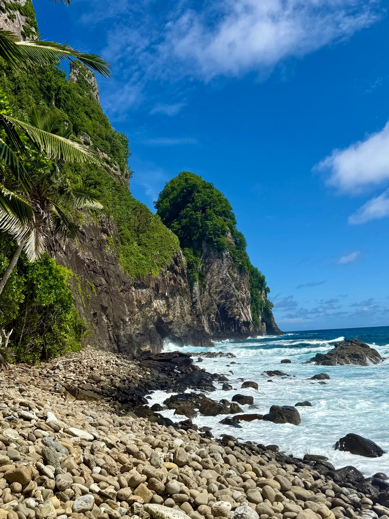
Mount Alava Trail
Hike the Mount Alava trail the NPS describes, with the summit as your goal. Confirm the current trailhead, route and return arrangement with park staff because the brief NPS listing does not describe the approach.
American Samoa · Photo: David & Keri New
- 7 miDistance
- 1,607 ftElevation gain
- 4–5 hrTime
- StrenuousDifficulty
The numbers, with sources
Distance: 7 miles total Source
Gain: 1,607 feet of gain Source
Time: 4–5 hours Source
Difficulty: See the official route and surface descriptions; no separate rating added. Source
Trailhead: The NPS listing doesn’t give driving directions or an exact trailhead. Source
Route type: out-and-back Source
Built from official sources (checked Nov 3, 2026). Confirm current conditions with the park.
Recreation.gov permits, entrances & campgrounds
Recreation.gov (RIDB). Booking records date not published. NPS guidance above takes precedence. A listing doesn’t mean you need a permit or that there’s space on your dates.
Route, junction by junction
Selected start → Selected destination
Hike the Mount Alava trail the NPS describes, with the summit as your goal. Confirm the current trailhead, route and return arrangement with park staff because the brief NPS listing does not describe the approach. Source
No elevation profile yet:
No elevation profile yet: we haven’t verified complete measurements for this route. Source
In-depth guide
Compiled from linked sources, checked Nov 2, 2026. Each paragraph links to its source.
Is this hike for you?
The Mount Alava trail climbs through lush rainforest to panoramic views from the summit, and it’s good for watching birds and fruit bats on the way. The NPS rates it difficult: 7mi (11.27km) total with 1,607ft (490m) of elevation gain, taking 4–5 hours. Source
Trail closure
When we checked, the NPS had closed the Mount Alava trail and Fatifati trail from the Fagasa pass to the summit for trail improvement work until further notice. You can still reach the Alava trail from the Old Vatia trail, but that’s a much steeper, more rugged climb. The NPS suggests the Upper and Lower Sauma trails and the Tuafanua trail as other options. Check current alerts before you go. Source
The trail
The trail can be steep, slippery and rocky in places, and the NPS says it isn’t accessible for that reason. It doesn’t give a minimum age. Source
The NPS page doesn’t give driving directions or an exact trailhead location, so ask the park before you go. Source
Dogs, permits and fees
Pets are allowed, and you don’t need a reservation. Stay on the trail. Source
The NPS fee list for this park shows no entrance fee amount, but that doesn’t mean everything is free. Source
Before you go
The NPS doesn’t give a season for this trail. Check the forecast, since rain makes it more slippery. Bring plenty of water and a map, decide on a turnaround time, and stay together. Source
There’s no elevation profile yet: we haven’t verified complete measurements for this route. Source
Sources & planning limits
Reviewed 2026-11-03. Check current conditions for your trip dates.
- We haven’t confirmed access, transport or services for your trip date. Check with the NPS and any transport provider. Source
- Park information changes. Check access, services and reservations for your travel date. Source
- The NPS doesn’t say whether this hike suits kids or people with limited mobility. Read its accessibility notes before you pick it. Source
- There’s no elevation profile yet: we haven’t verified complete measurements for this route. Source
Getting there and back
The NPS listing doesn’t give driving directions or an exact trailhead. Source
Return: Complete the return arrangement described for this route. NPS calls the trail difficult and gives a four-to-five-hour duration. It identifies steep, slippery and rocky stretches in a rainforest environment. The NPS listing doesn’t confirm a shorter loop or a summit transport option, so none is supplied here. Source
Water
Hazards
Trail can be steep, slippery, and rocky in places. Source
Season
The NPS does not publish a seasonal opening window for this route. Source
The NPS does not publish a seasonal opening window for this route. Source
Gear & rules
The NPS activity marks pets permitted: true. Source
Filling a gap in your kit? Compare these packing essentials on Amazon. Choose gear for your route, conditions and the park’s guidance.
As an Amazon Associate we earn from qualifying purchases. How this works
Questions
Which hike is this?
Hike the Mount Alava trail the NPS describes, with the summit as your goal. Confirm the current trailhead, route and return arrangement with park staff because the brief NPS listing does not describe the approach. Source
Are the published figures fully consistent?
NPS calls the trail difficult and gives a four-to-five-hour duration. It identifies steep, slippery and rocky stretches in a rainforest environment. The NPS listing doesn’t confirm a shorter loop or a summit transport option, so none is supplied here. Source
Is there an elevation profile?
No elevation profile: the map data has ridge roads and trail branches around Alava, but the short NPS listing doesn’t say which one is the maintained summit trail or where it starts and ends. Source
Alternatives
More American Samoa trail guides
- Tuafanua Trail2.2 mi · Moderate