Our favorite hike
Mount ‘Alava Trail
You climb through rainforest to the ridge above Pago Pago Harbor and look out over the harbor and the coastline. It’s the best view on Tutuila.

American Samoa
Rainforest ridges, coral reefs and Samoan villages on three islands, about 2,600 miles southwest of Hawai’i.
By David & Keri New, who have visited 63 of the 64 U.S. national parksUpdated
63Park 63 of our 63Visited Dec 2024
Saves this park and its trail guides on this device. Alerts and conditions are as of when you save; live maps and bookings need a connection.
Start with Tutuila. If Ofu or Ta‘ū is part of the plan, confirm onward and return transportation before setting your island stays or booking your departure home.
Compare inter-island access NPS American Samoa trip planningFares change. The operator's page is the price you will pay.
Start with a park day on Tutuila. Keep the outer islands as a separate itinerary once you have a confirmed way there and back.
Use the Fagasa Pass route only when rangers confirm access and weather allows. The demanding out-and-back is separate from the ladder-heavy Adventure Trail. If rain, heat or a closure makes the ridge unsuitable, keep the coastal day and use the shorter land backup only where safe. Check route conditions
Open this day plan Build a 2-day tripIf time is tight, stay on Tutuila and choose an open north-shore stop. Check current trail access before heading out.
David and Keri would allow more time on Ofu. Check lodging, food and other services before adding it, and confirm the return to Tutuila.
NPS transportation and island accessDavid & Keri’s trip notes
If either outer-island leg is uncertain, plan a Tutuila visit. Allow a weather buffer before your flight home, and check current access for the stops you choose.
Pago Pago, Tutuila
Base yourself near Pago Pago for Tutuila. For an outer-island visit, confirm lodging and available services on that island before setting your dates.
Book your flights and island stays around the transport you can confirm. There is no general entry fee, and camping is not authorized on park land.
Fly into Pago Pago on Tutuila. Check Samoa Airways for each outer island separately and confirm both flights before reserving rooms.
Our visit
December 2024
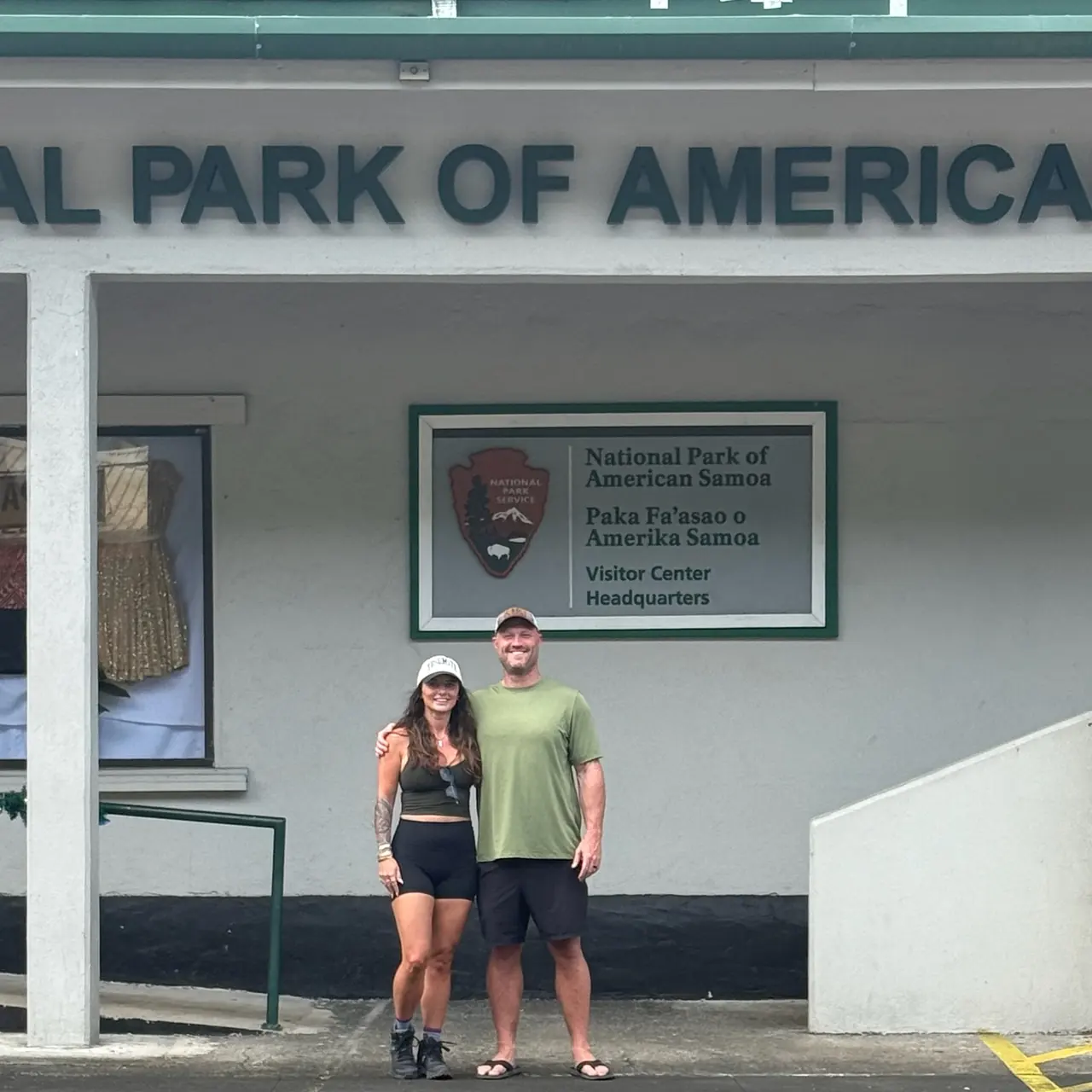
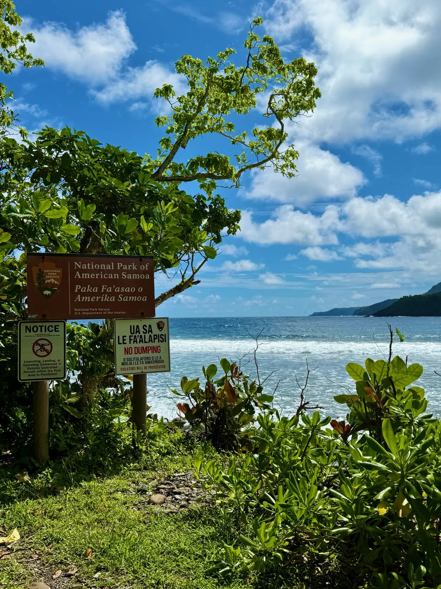
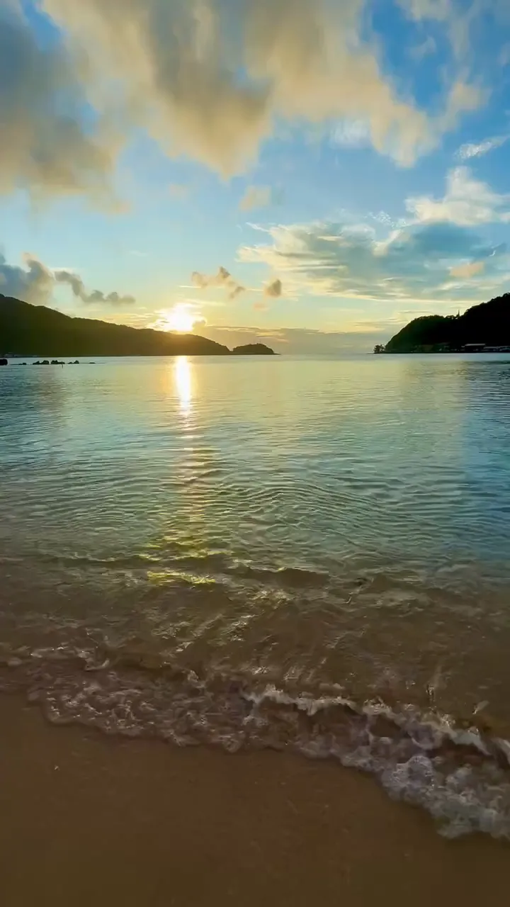
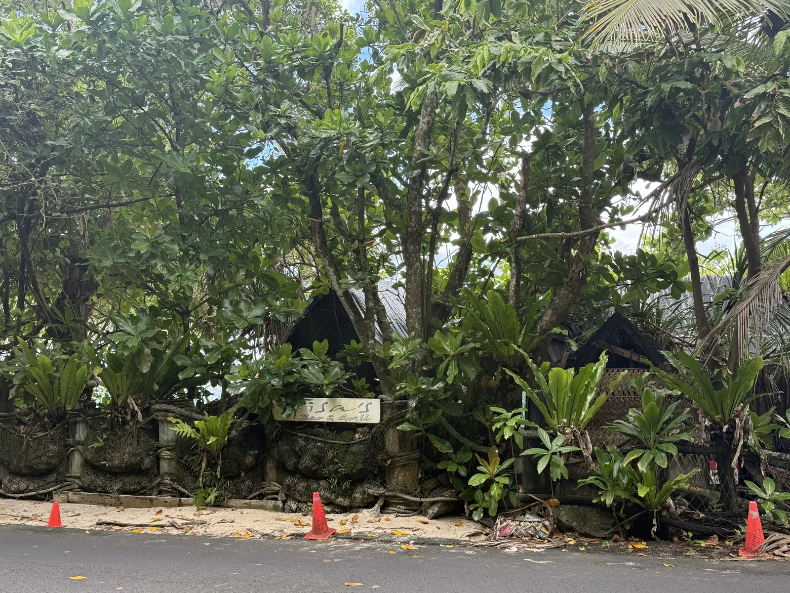
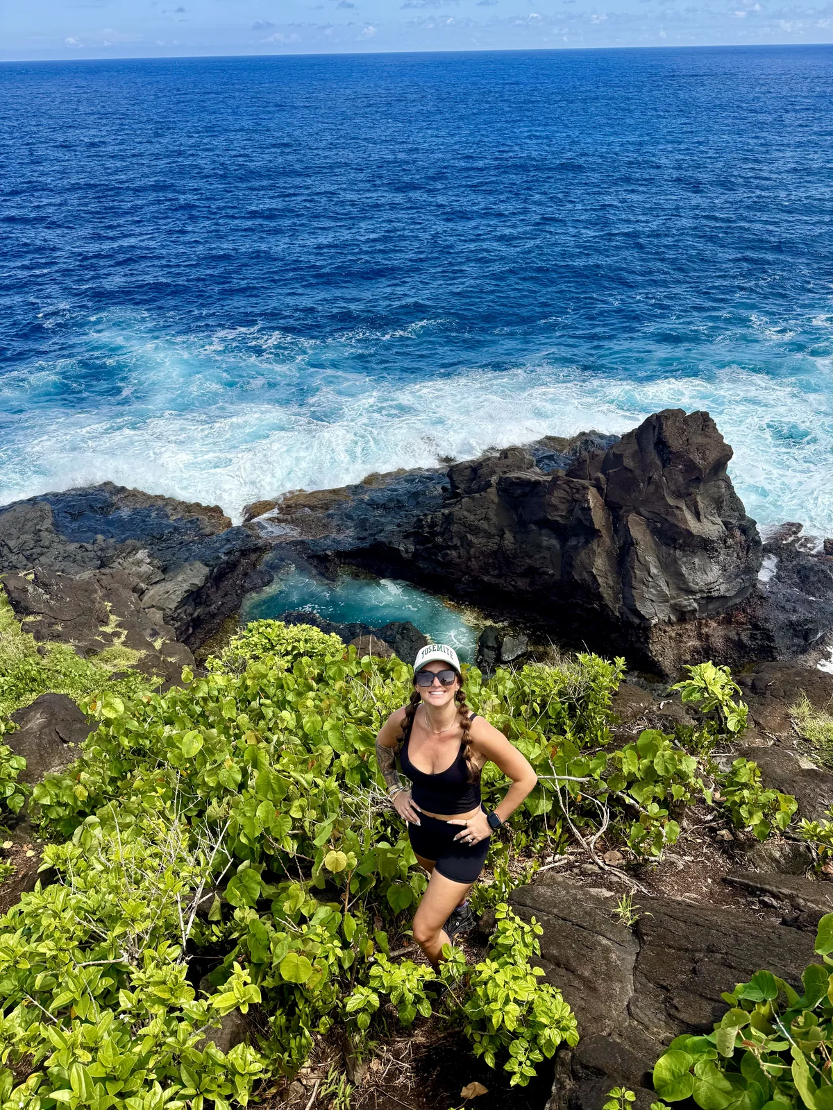
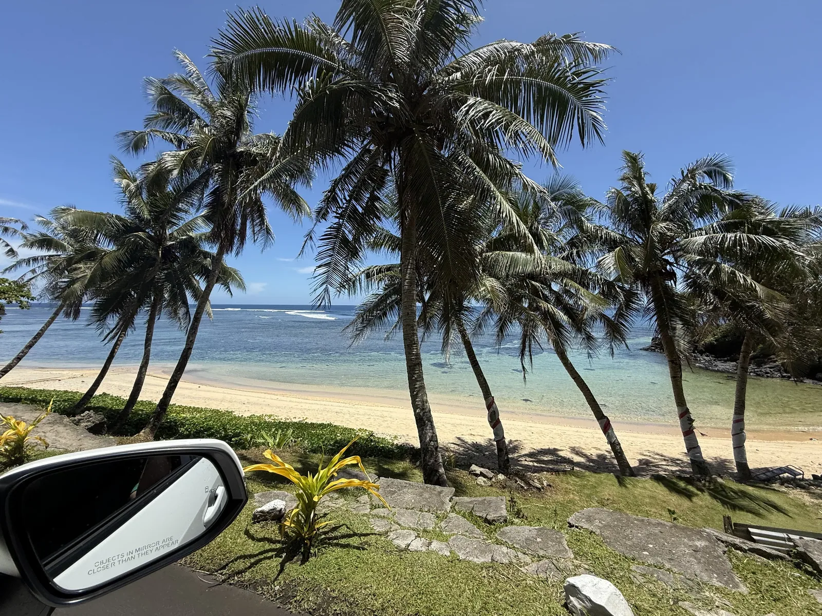
Why it’s on our list
American Samoa offers an entirely different national park experience, combining lush tropical rainforests, dramatic volcanic mountains, and beautiful South Pacific coastlines. The scenery is spectacular, and the opportunity to experience authentic Samoan culture makes this park particularly unique. Its remote location and limited tourist infrastructure make visiting a major adventure in itself.
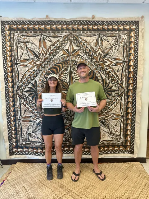
Our favorite moment
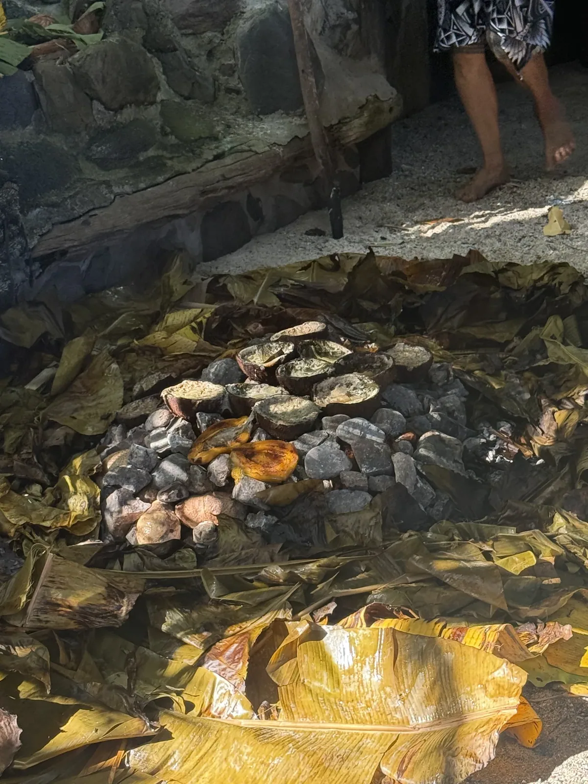
Hiking Mount Alava and exploring Ofu Beach. We went over Christmas time, and we got invited to a local barbecue. It was one of the most unique experiences I’ve ever had.
Photos by David & Keri New.
Firsthand · David & Keri New
American Samoa was our 63rd and final park. It is the only national park south of the equator, with rainforest, steep green cliffs and coral reef beaches. We hiked Mount Alava and went to Ofu Beach, and the locals were so nice. It’s the hardest park to get to, and it has stuck with us. We flew into the island and then rented a car into the national park. We went over Christmas, and the first people we sent photos to were our family. I had very little expectations for this national park, and when we were originally going, it was just to complete our journey. But this was surprisingly one of the more beautiful places we went, out of all the parks. I remember how many dogs there were everywhere, just running around.
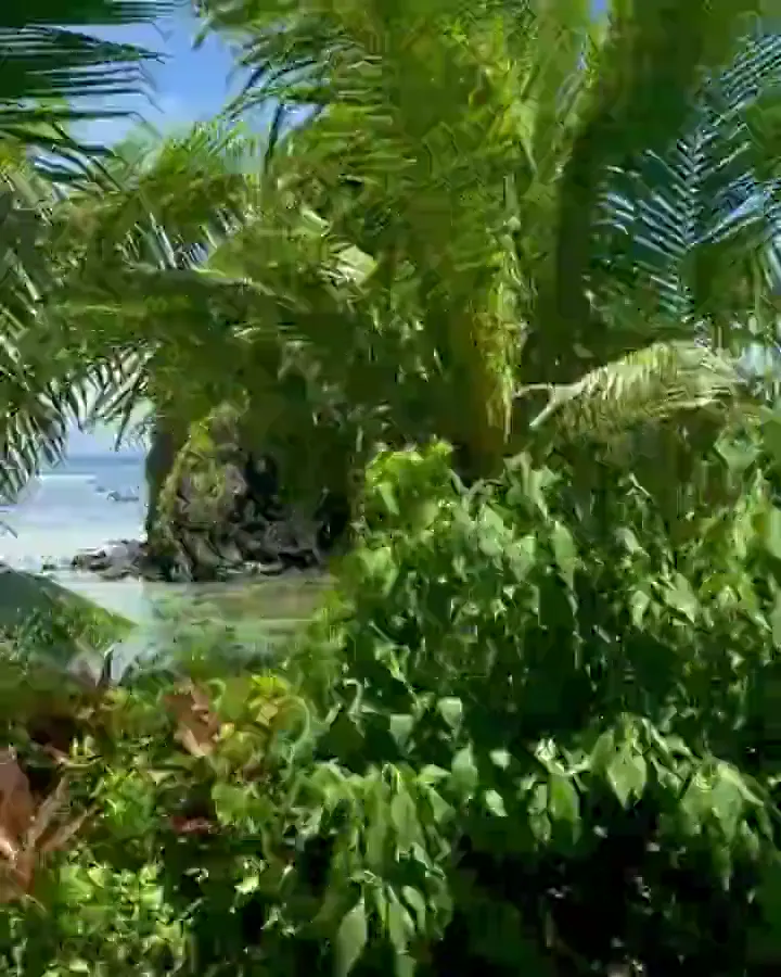
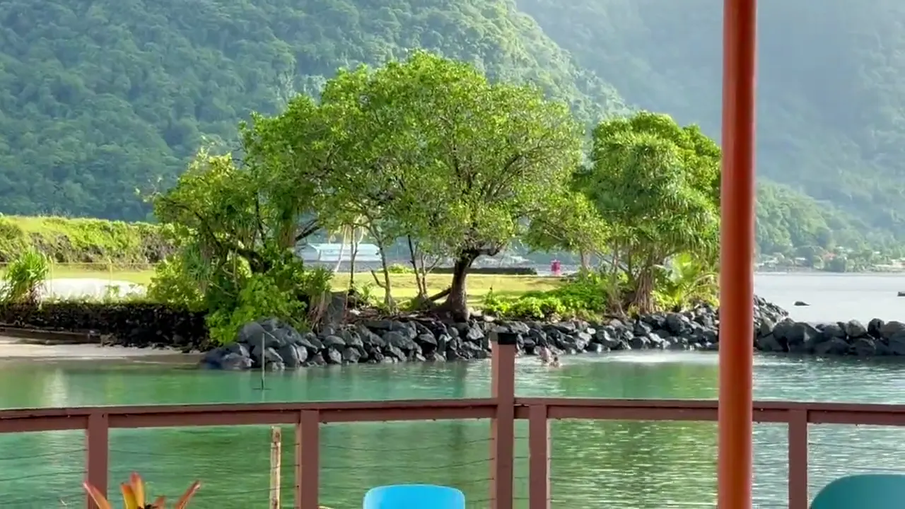
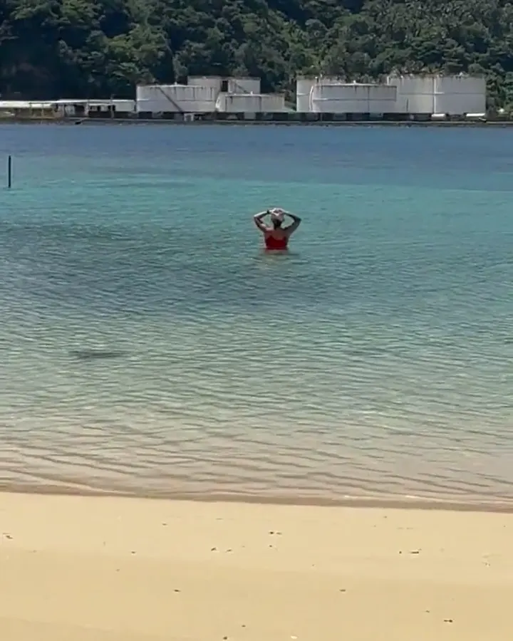
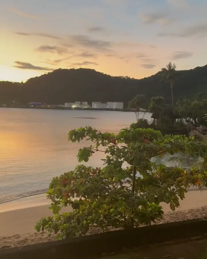
Mount ‘Alava Trail
You climb through rainforest to the ridge above Pago Pago Harbor and look out over the harbor and the coastline. It’s the best view on Tutuila.
Flights from Honolulu only run a couple of times a week, and the small planes to Ofu can be canceled for weather. Leave extra days in your plan.
Next time we’d plan more nights on Ofu. The beaches there were beautiful.
Snorkeling the reef off Ofu Beach is how we’d spend it.
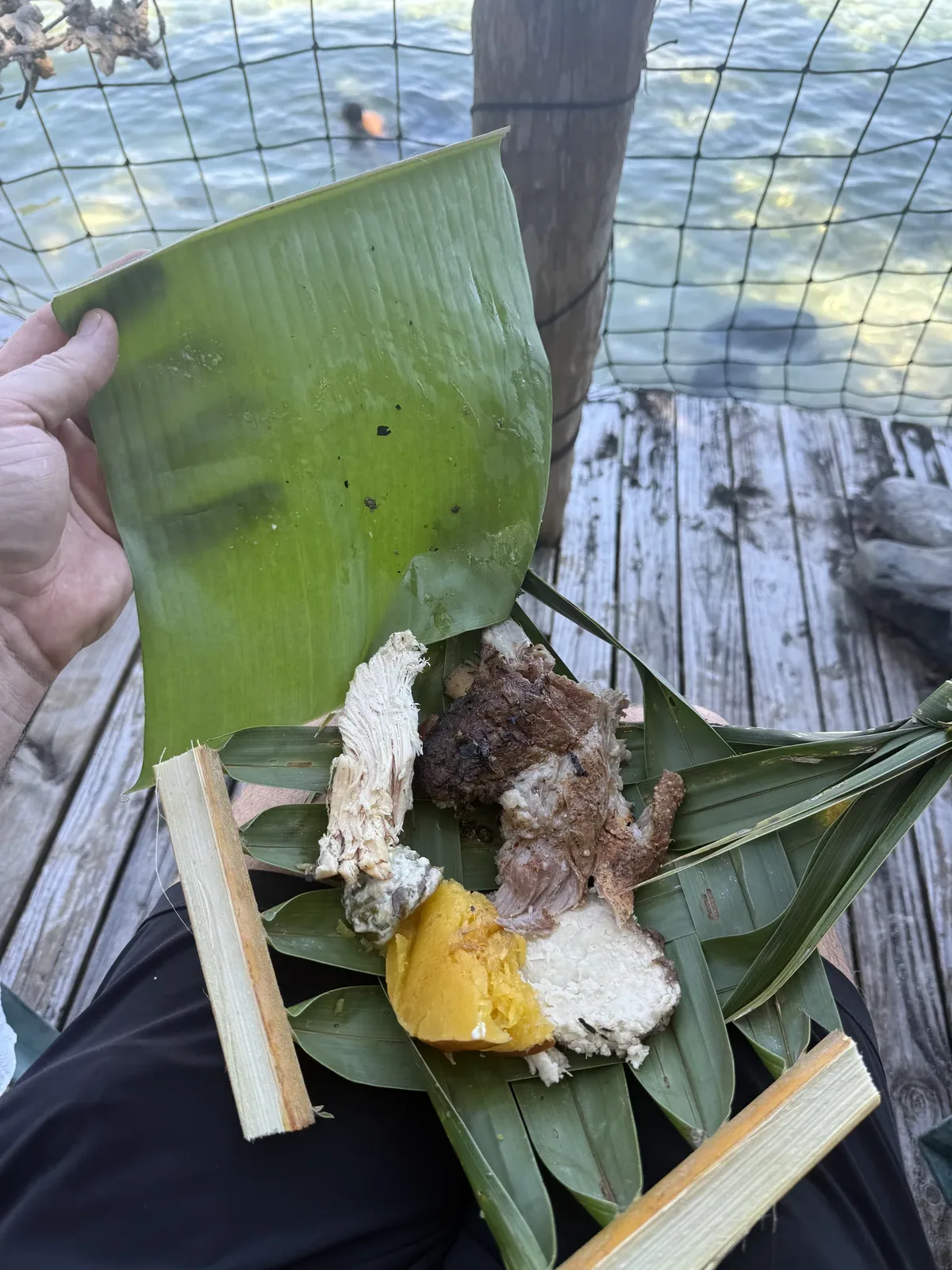
Christmas falls in the wet season, so it’s hot and humid and the showers come and go. We still had plenty of blue sky and sun. The moment I remember most was how nice the locals were at this really cool and unique bar that was on the beach. They invited us to a local traditional Samoan feast. They cooked the fish practically in the dirt and served the food on plates made of bamboo leaves, and we ate with our hands. It was one of the more authentic eating experiences I’ve ever had. All the locals there were so nice, and it just made everything so fun.
Pago Pago is the main town on Tutuila. Tisa’s Barefoot Bar on Alega Beach has been around a long time, and locals like it.
Lodge or hotel
Two nights of lodging on this trip.
Best time
July, August, September
Drier, whale-friendly June-October (September/October whale peak). Wettest December-March in November-April cyclone season. Heat steady year-round.
Month by monthThe usual route is a Hawaiian Airlines flight from Honolulu to Pago Pago on Tutuila, a few times a week; book early. NPS recommends renting a car to explore Tutuila; agencies are near the airport. Last verified · nps.gov
Itineraries
1 dayOur pick
2 days · Add Mount ʻAlava
American Samoa itinerary: every day stop by stop, with sources
Compare the 1-day plans, day by day →
Map
1 visitor center on a map you can zoom and drag. Map data loads from OpenStreetMap when you tap.
Visitor center Roads and trails are community-mapped; check closures with the park.
Locations from the NPS visitor-center listing, checked Nov 13, 2026. Hours and what each one has
Trails
0.1 mi
15-30 minutes to a rugged shore with views of Pola Island, a seabird nesting sanctuary. The surface is uneven.
Out and back · About 15-30 minutes
Start: Beyond Vatia’s paved road, follow the rough gravel road to the large turnaround; park where possible.
0.4 mi
30-45 minutes to an archaeological site with ancient grinding stones. Hike in the morning to avoid the heat.
Out and back · About 30-45 minutes
Start: Lower Sauma Ridge Trailhead, at the national park faleo’o.
2.2 mi
2-3 hours. Uses ladders, steps and ropes to reach a rocky beach facing Pola Island.
Out and back · About 2-3 hours
Start: Vatia Village, just before Mount ‘Alava Elementary School.
3.2 mi
3-4 hours through dense rainforest, with views of Vatia village and Pola Island.
Out and back · About 3-4 hours
Last verified · nps.gov7 mi
Fagasa Pass route closed until further notice for trail work (checked Nov 1, 2026). The distance and elevation above describe that closed route, not Old Vatia. NPS lists Old Vatia as a much steeper, more rugged alternative approach. Confirm conditions before hiking.
Out and back · About 4-5 hours
Start: Fagasā Pass.
Distances, gains and difficulty as NPS publishes them; the bar shows the published distance, dashed where a longer option exists.
Camping
The NPS Eating & Sleeping page still displays only a page-in-progress notice (checked Nov 1, 2026). It does not currently provide camping rules or homestay arrangements; confirm these with the park before planning an overnight stay. Last verified · nps.gov
Check Recreation.gov for current openings. Availability can change before you book; a result here does not reserve a site or permit.
We have not verified a Recreation.gov campground or permit link for this park. Check Recreation.gov to book and confirm access with the park. This does not mean no facilities or openings exist. Opening-alert requests are coming soon for this park.
No NPS-operated developed front-country campgrounds listed. Camping requires a permit and prior permission from the superintendent; otherwise overnight camping is prohibited. Campground facilities and tariffs: not published. Last verified · nps.gov
Site totals are each campground’s size, not how many sites are open or bookable now. Check each campground and current alerts.
No published parking fill guidance.
Fees, permits & rules
Last verified · nps.gov All American Samoa fees, permits and booking deadlines →
Checked Nov 1, 2026: the Mount ‘Alava and Fatifati trails from Fagasa Pass to the summit remain closed for trail improvement work until further notice. NPS lists Old Vatia as an alternative approach; it is much steeper and more rugged. Upper and Lower Sauma and Tuafanua are other suggested alternatives.
Last verified · Active NPS trail closure alertThe park lies within Samoan villages. Ask permission before taking photos, using a beach or doing other activities, especially in villages.
Last verified · Basic InformationVillagers pause for prayer around dusk. If you’re entering a village during Sā, stop and wait quietly. You don’t need to stop on main roads.
Last verified · Basic InformationEmail me this guide Get a link to the American Samoa guide in your inbox, to open again when you plan or before you go.
One email with the link. We don’t add you to any list unless you tick the box.
Historical recreation visits · 2021–2025 · as of Nov 3, 2026. Visits count entries, not unique people, parking spaces or trail crowding.
Busiest by average count: Apr. Quietest: Jun. Each bar is that month’s average visits across 5 years; unusual years and reported zeros are included. Past visits can’t tell you the best time of day to arrive.
Every month’s visits and NOAA weather, with the counts for each year →
NPS Visitor Use Statistics: monthly report · NPS monthly data · checked Nov 3, 2026; latest included year 2025.
Plan your visit
For any park: passes and free entrance days · what to pack · visiting with kids · stargazing
Getting there and park logistics →
Find a place to stay near American Samoa → See camping and backup options for this park.
How this page is made. The section “What we’d tell a friend” is ours. Our recorded visits to American Samoa include December 2024.Planning information, including any fees, permits, closures, weather and crowd figures shown here, is compiled from the National Park Service, Recreation.gov and other public sources, and each fact shows the date we last checked it. If something is wrong, tell us and we’ll log the fix on our corrections page.