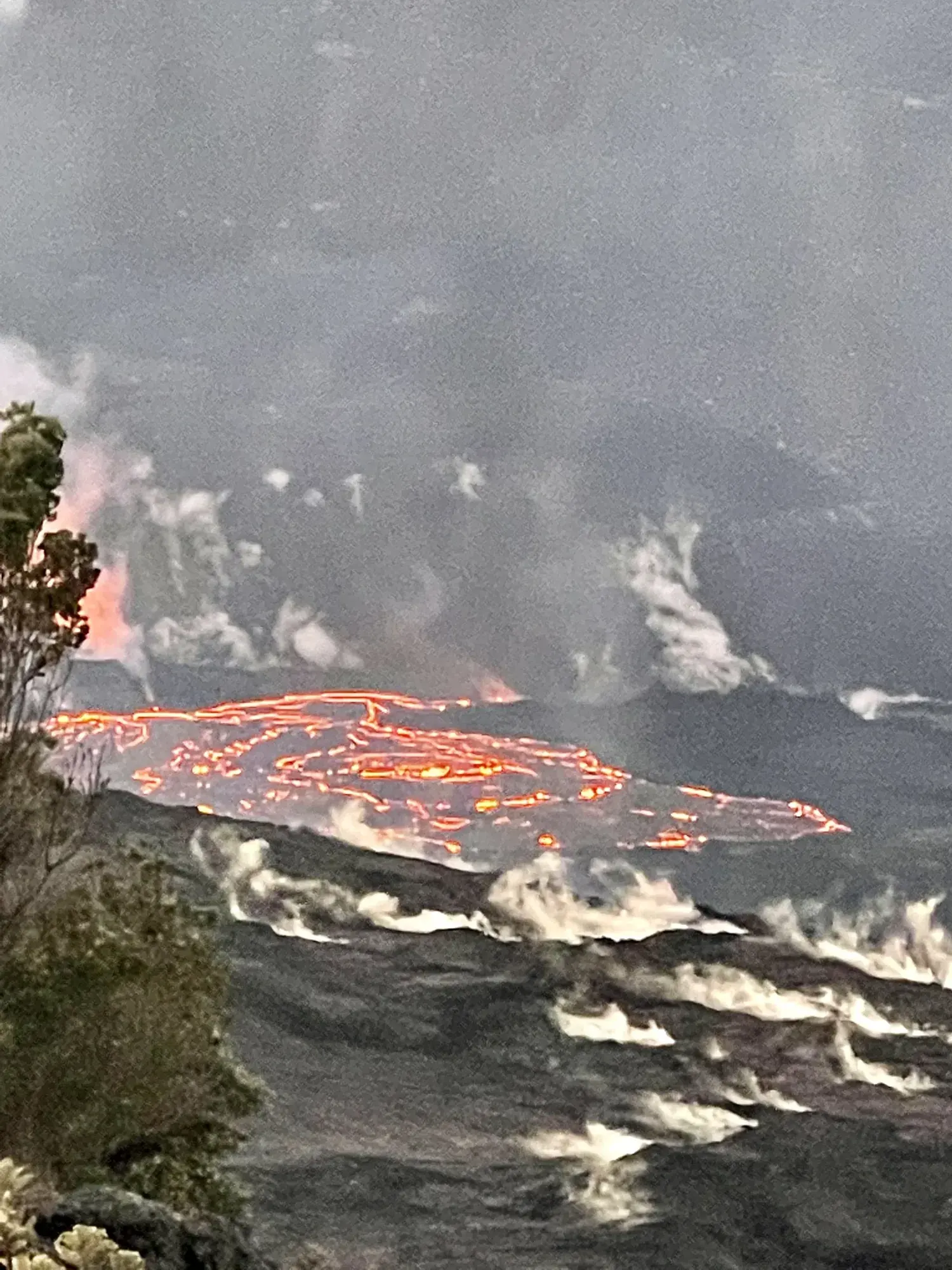
Maunaulu to Puʻuhuluhulu
A 2.5-mile return walk across Maunaulu lava flows to a forested cinder-cone viewpoint, with a steep final quarter-mile.
Hawaiʻi Volcanoes · Photo: David & Keri New
- 2.5 miDistance
- 2–3 hrTime
- ModerateDifficulty
The numbers, with sources
Distance: 2.5 miles round trip in the detailed narrative. Source
Gain: 210-foot climb to Puʻuhuluhulu. That’s not the total climb for the hike. Source
Time: Detailed description: approximately 2–3 hours. Another NPS field says 1–2 hours. The two don’t agree. Source
Difficulty: Moderate: most of the route is easy, with a steep quarter-mile climb up the cone. Source
Trailhead: About 100 yards from Maunaulu parking area, joining Nāpau Trail. Source
Route type: out-and-back Source
Built from official sources (checked Nov 3, 2026). Confirm current conditions with the park.
Recreation.gov permits, entrances & campgrounds
Recreation.gov (RIDB). Booking records date not published. NPS guidance above takes precedence. A listing doesn’t mean you need a permit or that there’s space on your dates.
Route, junction by junction
Trailhead → Maunaulu to Puʻuhuluhulu
Follow the ahu-marked lava route and the Puʻuhuluhulu branch to the forested cone viewpoint. Source
Traced line: 1.26 mi one way, about 206 ft of climbing and 17 ft of descent. Maunaulu to Puʻuhuluhulu.
Elevations: USGS 3DEP (public domain). Route: National Park Service GIS. Terrain sampling and smoothing can miss short climbs and steep steps.
Elevation waypoint table
No named waypoints could be confidently located on this traced line.
Method: Centered 50 m moving average (5 m trapezoidal integration; clamped endpoints); 3 m hysteresis. Elevations and distances are estimates along the mapped route. Published route figures.
In-depth guide
Compiled from linked sources, checked Nov 2, 2026. Each paragraph links to its source.
Is this hike for you?
This walk crosses lava from the 1969-1974 Maunaulu flow to Puʻuhuluhulu (hairy hill), a forested cinder cone, and climbs 210 feet (64 m) to its top. It’s 2.5 miles (4.0km) round trip. The NPS rates it moderate: most of it is easy, but there’s a steep 1/4-mile climb up the cone, which you also have to come back down. It’s a viewpoint hike, not the whole Nāpau Trail, so turn around at the cone. Source
The NPS trail description says about 2.0 - 3.0 hours; another NPS listing says 1 to 2 hours. Plan on the longer one. Source
The trail
The trail begins about 100 yards (91.4m) from the Maunaulu parking area. The NPS doesn’t say how big the lot is or when it fills. Source
Ahu (stacked rocks) mark the trail across the lava. Don’t move them or build new ones, and stay on the trail. You pass lava tree molds on the way; the surface patterns and lava trees are fragile, so don’t touch them. The NPS has a Maunaulu Trail Guide you can download (pdf 2.3MB). Source
From the top you see the Maunaulu lava shield, which looks like the now inactive Pu‘uʻō‘ō cone in the far distance. On a clear day you can also see Mauna Loa, Mauna Kea and the Pacific Ocean. Source
Lava hazards
Lava flow fields can have deep cracks, uneven and unstable ground and razor-sharp lava. Watch your footing the whole way, not just on the cone. Source
Water and gear
Bring water, food, a hat, sun protection and rain gear. The NPS doesn’t list any water along the trail. Source
Distance and elevation
The 210 feet is the climb up the cone, not the total for the hike. Measured along the NPS trail map line with USGS terrain data, the way out is 1.26 miles, with elevations from about 3,219 to 3,426 feet and about 206 feet of climbing and 17 feet of descent. Those are our estimates, not NPS figures, and the smoothing (a fifty-meter window and a three-meter threshold) can miss short steps and small rises. Source · Source 2 · Source 3
Kids, strollers and wheelchairs
The NPS describes rough, uneven ground and a steep climb up the cone. It doesn’t give a minimum age or say whether strollers or wheelchairs can manage it. Source
Sources & planning limits
Reviewed 2026-11-03. Check current conditions for your trip dates.
Getting there and back
Start from the Maunaulu parking area and use official mapping and route markers. Current access must be checked separately. Source
Return: Retrace the chosen route to the Maunaulu starting area. This is not the entire Nāpau Trail. Source
Water
Bring water and food. The NPS doesn’t list a refill along the way. Source
Bring water and food. The NPS doesn’t list a refill along the way. Source
Hazards
Deep earth cracks, unstable uneven terrain and razor-sharp lava. Source
Steep final climb and rough uneven surface. Source
Season
Bring rain gear as well as sun protection. The NPS doesn’t promise a clear-weather season. Source
Bring rain gear as well as sun protection. The NPS doesn’t promise a clear-weather season. Source
Gear & rules
Stay on the trail; do not disturb the ahu or build new ones. Source
Do not touch delicate lava surface patterns or lava-tree formations. Source
Filling a gap in your kit? Compare these packing essentials on Amazon. Choose gear for your route, conditions and the park’s guidance.
As an Amazon Associate we earn from qualifying purchases. How this works
Stay on the trail; do not disturb the ahu or build new ones. Source
Do not touch delicate lava surface patterns or lava-tree formations. Source
Questions
Is 210 feet the total climb?
The NPS describes a 210-foot climb to the cone. It’s not a measured total for the hike. Source
Are the official durations consistent?
No. The NPS description says about two to three hours, and another NPS field says one to two hours. We show both. Source
Alternatives
More Hawaiʻi Volcanoes trail guides
- Kīlauea Iki Trail3.3 mi · Strenuous