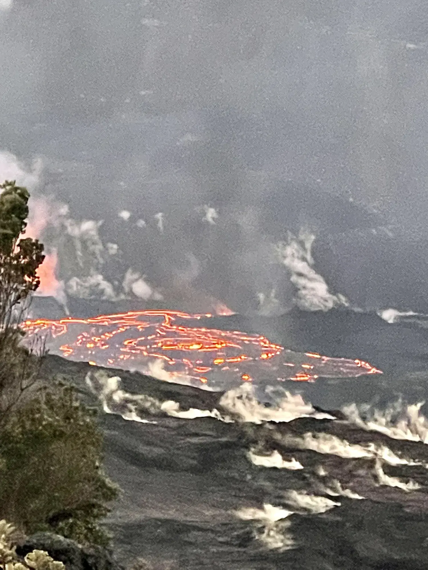
Kīlauea Iki Trail
A rainforest descent to the solidified 1959 lava lake, with a 3.3-mile overlook loop and distinctly longer approaches from other trailheads.
Hawaiʻi Volcanoes · Photo: David & Keri New
- 3.3 miDistance
- 400 ftElevation gain
- 2–3 hrTime
- StrenuousDifficulty
The numbers, with sources
Distance: 3.3 miles for the Kīlauea Iki Overlook loop; other starts are longer. Source
Gain: 400 feet of descent and ascent in the NPS description. Source
Time: 2–3 hours from Kīlauea Iki Overlook; 3–4 hours from the visitor center; 4–5 hours from Devastation Trailhead. Source
Difficulty: Moderate to challenging; steep and rocky. Source
Trailhead: Kīlauea Iki Overlook for the 3.3-mile loop. Source
Route type: loop Source
Built from official sources (checked Nov 3, 2026). Confirm current conditions with the park.
Recreation.gov permits, entrances & campgrounds
Recreation.gov (RIDB). Booking records date not published. NPS guidance above takes precedence. A listing doesn’t mean you need a permit or that there’s space on your dates.
Route, junction by junction
Trailhead → Kīlauea Iki Trail
Go down through rainforest, cross the hardened lava lake and finish the loop on the trail. Source
No elevation profile: we only draw one from a mapped route we can verify. Route source
In-depth guide
Compiled from linked sources, checked Nov 2, 2026. Each paragraph links to its source.
Is this hike for you?
The Kīlauea Iki Trail drops through lush rainforest to the solidified lava lake on the floor of Kīlauea Iki crater, where you can look into the vent below Puʻupuaʻi cinder cone that erupted to a height of 1900 feet in 1959. The NPS rates it moderate to challenging: steep and rocky, with 400 feet (122 m) of descent and the same back up. Save energy for the climb out. Source
Pick your starting point
The distance depends on where you start: Source
From Kīlauea Iki Overlook: a 3.3 mile (5.3 km) loop, about 2 to 3 hours. Parking here is extremely limited, and at peak hours there may be none. Source
From Kīlauea Visitor Center: 5.3 miles (8.5 km) round trip, a “cherry stem” plus the loop, about 3 to 4 hours. Take the Crater Rim Trail toward Kūpinaʻi Pali (Waldron Ledge) to reach the loop. You can also connect from the Halemaʻumaʻu Trail near the visitor center. Source
From Devastation Trailhead: 6.0 mi (9.7 km) round trip, 4 to 5 hours. This is the more scenic option, taking in Uēaloha (Byron Ledge), the Kīlauea Iki loop and Nāhuku Lava Tube in one hike. Park at Puʻupuaʻi instead to add the 0.5 mile (0.8 km) Devastation Trail. For a longer hike, the NPS strongly encourages starting at the visitor center, Devastation Trailhead or Puʻupuaʻi. Source
On the crater floor
Walking on the flow field has its own hazards: deep earth cracks, uneven and unstable ground, and razor-sharp lava. Watch your footing on the crater floor as much as on the steep slopes. The NPS has a Kīlauea Iki Trail Guide to download (pdf 921KB). Source
What to bring
Bring water, food, a hat, sunscreen and rain gear, and be ready for hot, dry, wet and windy weather. The NPS doesn’t list water on the trail. Source
Elevation chart
Our chart samples USGS terrain along the NPS trail line for the overlook loop: 3.22 miles, from about 3,500 to 3,937 feet, with roughly 642 feet of climbing and 646 feet of descent. That’s more than the NPS’s 400 feet. The chart is smoothed, so it can miss small steps, and it doesn’t show cracks or current conditions. Source · Source 2
Sources & planning limits
Reviewed 2026-11-03. Check current conditions for your trip dates.
Getting there and back
Parking at Kīlauea Iki Overlook is extremely limited. NPS encourages longer approaches from other named trailheads when appropriate. Source
Return: Complete the loop to the chosen starting point. A visitor-center or Devastation start needs its additional return approach. Source
Water
Bring water, food, hat, sunscreen and rain gear. The NPS doesn’t list anywhere to refill along the way. Source
Bring water, food, hat, sunscreen and rain gear. The NPS doesn’t list anywhere to refill along the way. Source
Hazards
Deep earth cracks, uneven unstable terrain and razor-sharp lava can make flow-field travel hazardous. Source
Steep rocky descent and ascent require attention. Source
Season
Prepare for hot, dry, wet and windy conditions; check current access separately. Source
Prepare for hot, dry, wet and windy conditions; check current access separately. Source
Gear & rules
Stay on the trail and use the official trail guide. Don’t use the elevation chart to navigate. Source
Filling a gap in your kit? Compare these packing essentials on Amazon. Choose gear for your route, conditions and the park’s guidance.
As an Amazon Associate we earn from qualifying purchases. How this works
Stay on the trail and use the official trail guide. Don’t use the elevation chart to navigate. Source
Questions
Is it 3.3 miles from every starting point?
No. NPS gives 5.3 miles from the visitor center and 6.0 miles from Devastation Trailhead. Source
Is the 1,900-foot figure the trail gain?
No. It describes eruption height in 1959; the route description gives 400 feet of descent and ascent. Source
Alternatives
More Hawaiʻi Volcanoes trail guides
- Maunaulu to Puʻuhuluhulu2.5 mi · Moderate