Our favorite hike
Kīlauea Iki Trail
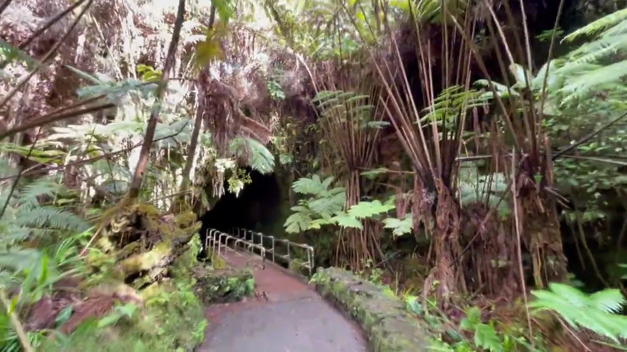
You drop through rainforest and then cross the floor of a crater that was a lava lake in 1959. It’s about four miles, it still steams in spots, and it felt like walking on another planet.

Hawaiʻi
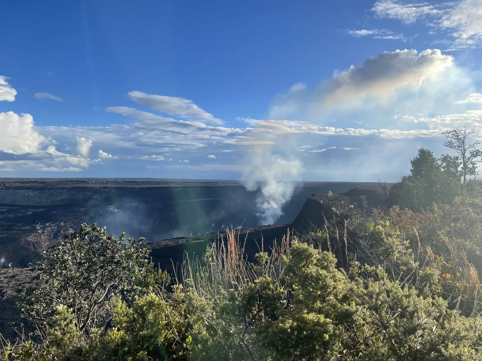
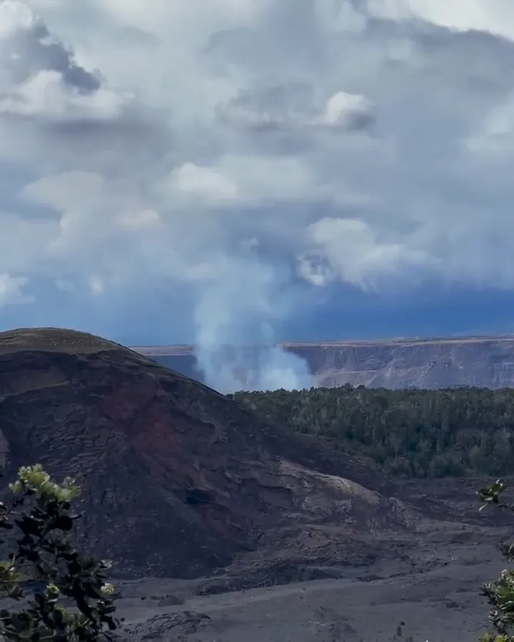
Kīlauea and Maunaloa on the Island of Hawaiʻi. The park is open 24 hours a day, and Halemaʻumaʻu crater has had more than 50 eruption episodes since December 2024, visible from the caldera rim overlooks.
By David & Keri New, who have visited 63 of the 64 U.S. national parksUpdated
34Park 34 of our 63Visited Nov 2021
Saves this park and its trail guides on this device. Alerts and conditions are as of when you save; live maps and bookings need a connection.
NPS alertsAs of 6:03 AM ET, Nov 20
3 days is our starting point.
Use the first day for open Kīlauea summit stops, Kīlauea Iki and Nāhuku as time and conditions allow. Give Chain of Craters Road its own day if you have two. Treat lava viewing as an extra opportunity.
Open the 2-day itineraryNPS park conditionsChain of Craters Road
Start at the Welcome Center at Kilauea Military Camp, open 9 a.m. to 4:45 p.m. daily. Then walk to Haʻakulamanu (Sulphur Banks) from the trail end across from the Steam Vents lot. The Sulphur Banks bridge is closed, but the boardwalk is open from that side.
National Park Service guidanceNational Park Service guidanceNPS park conditions
Join a ranger-led program. Ask at the Welcome Center for the daily schedule of ranger-led activities and pick one that fits around your main hike.
If lava is out of sight, keep the open summit stops and trails. If a localized closure blocks your summit hike, use Devastation Trail only if access and air quality allow, or move to Chain of Craters Road if its approach is open. For a wider closure, consider Kahuku only if it is open and safe for your dates.
Open the backup itineraryNPS park conditionsNational Park Service guidance
Volcano Village or Volcano House for an early summit start
Use Volcano Village or check Volcano House for a short approach to the summit. Hilo works if you want more services and can allow a longer drive each way.
Reserve your room or campsite first. Check current conditions and construction notices before committing to a particular trail, parking area or visitor center. Look at the eruption update if lava viewing matters to you.
Lodging and gateway townsNPS park conditionsHawaiʻi Volcanoes construction updates
The park is 30 miles southwest of Hilo on Highway 11, or 95 miles from Kailua-Kona. Most visitors rent a car at the Hilo or Kona airport. Hele On buses stop near Volcano House, but there is no shuttle or public transportation inside the park.
Our visit
November 2021
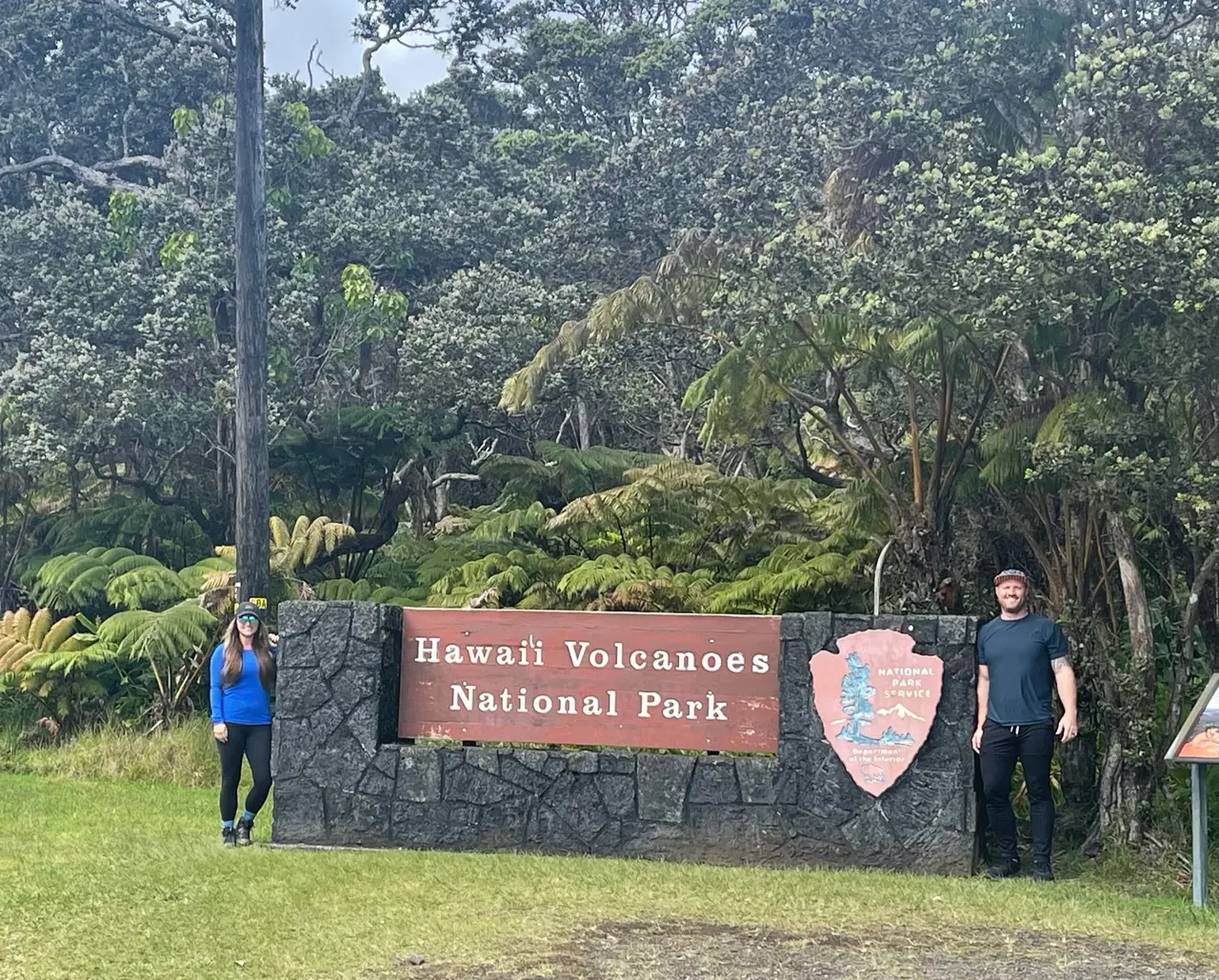
Why it’s on our list
Hawaiʻi Volcanoes offers the rare opportunity to explore a landscape shaped by some of the most powerful forces on Earth. From enormous volcanic craters and hardened lava fields to lush tropical forests and ancient lava tubes, the contrast between destruction and new life makes this park truly fascinating.
Our favorite moment
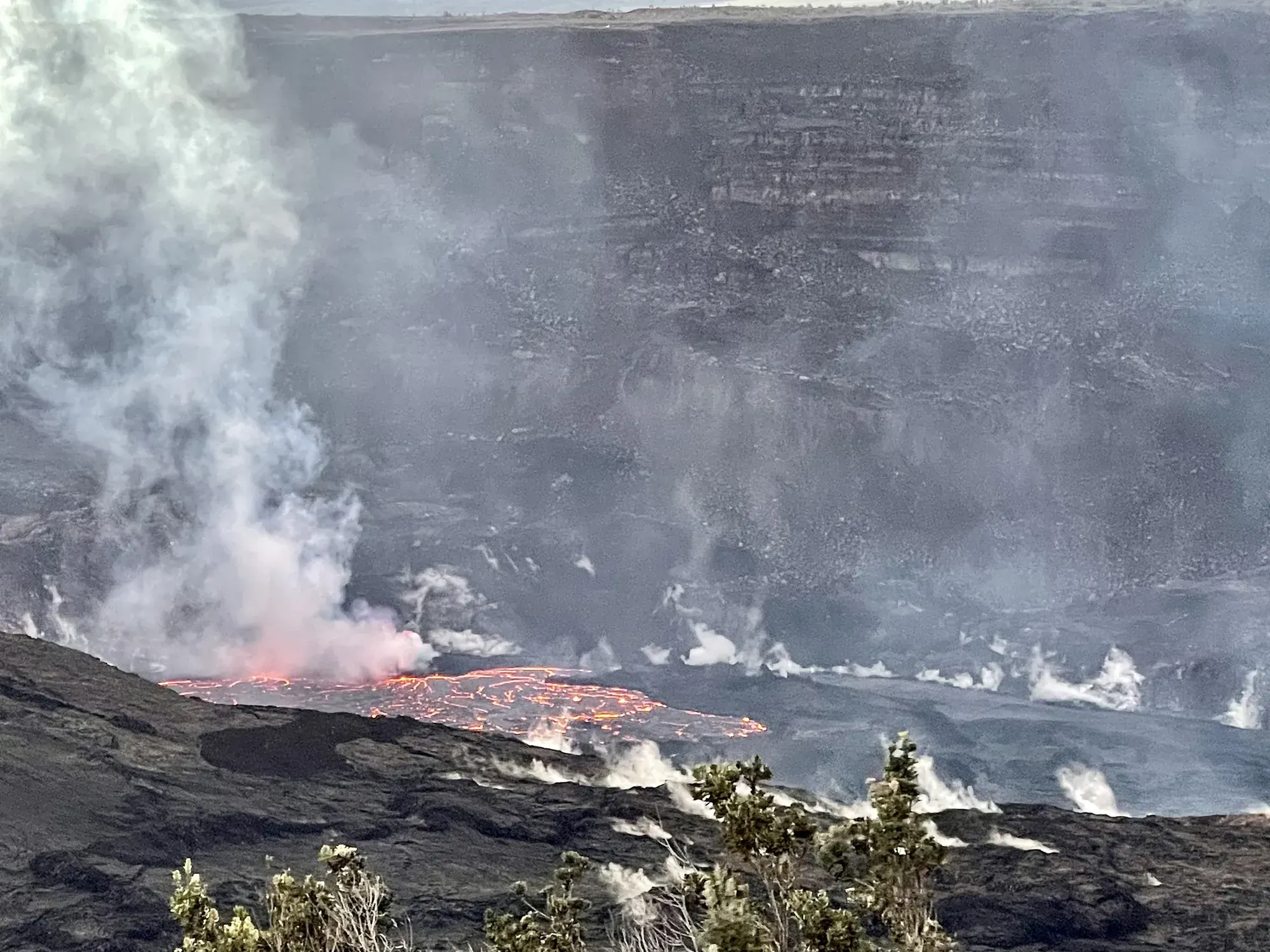
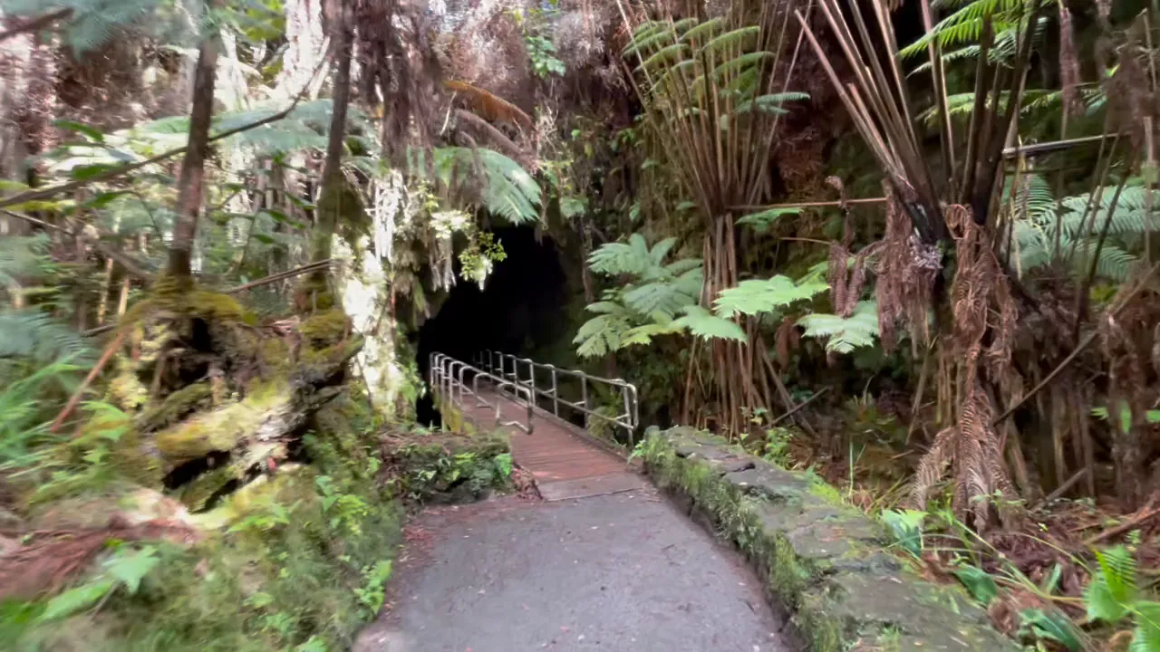
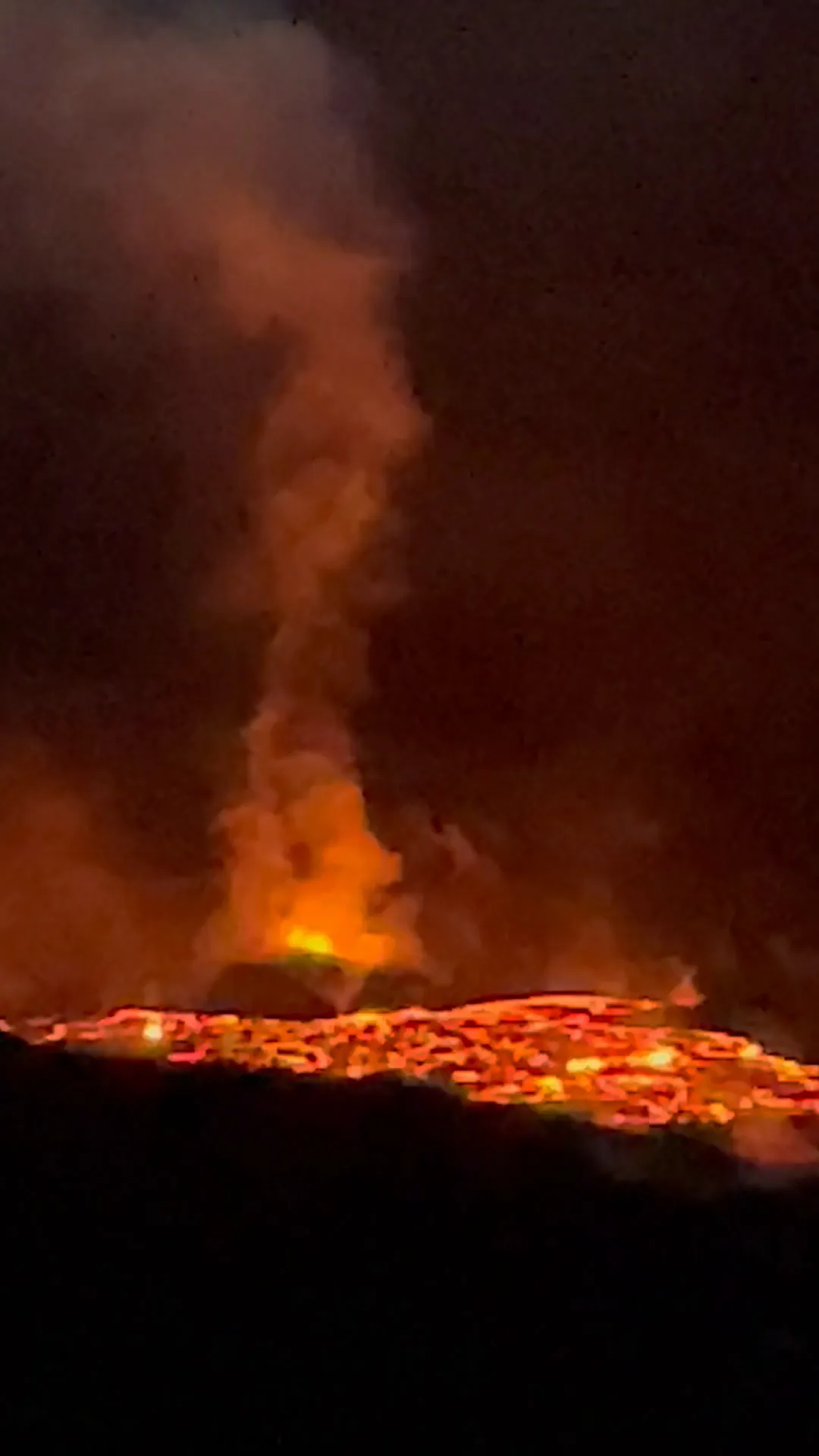
Seeing an active lava eruption, hiking across the Kīlauea Iki crater floor, and walking through Nāhuku (Thurston Lava Tube).
Photos by David & Keri New.
Firsthand · David & Keri New
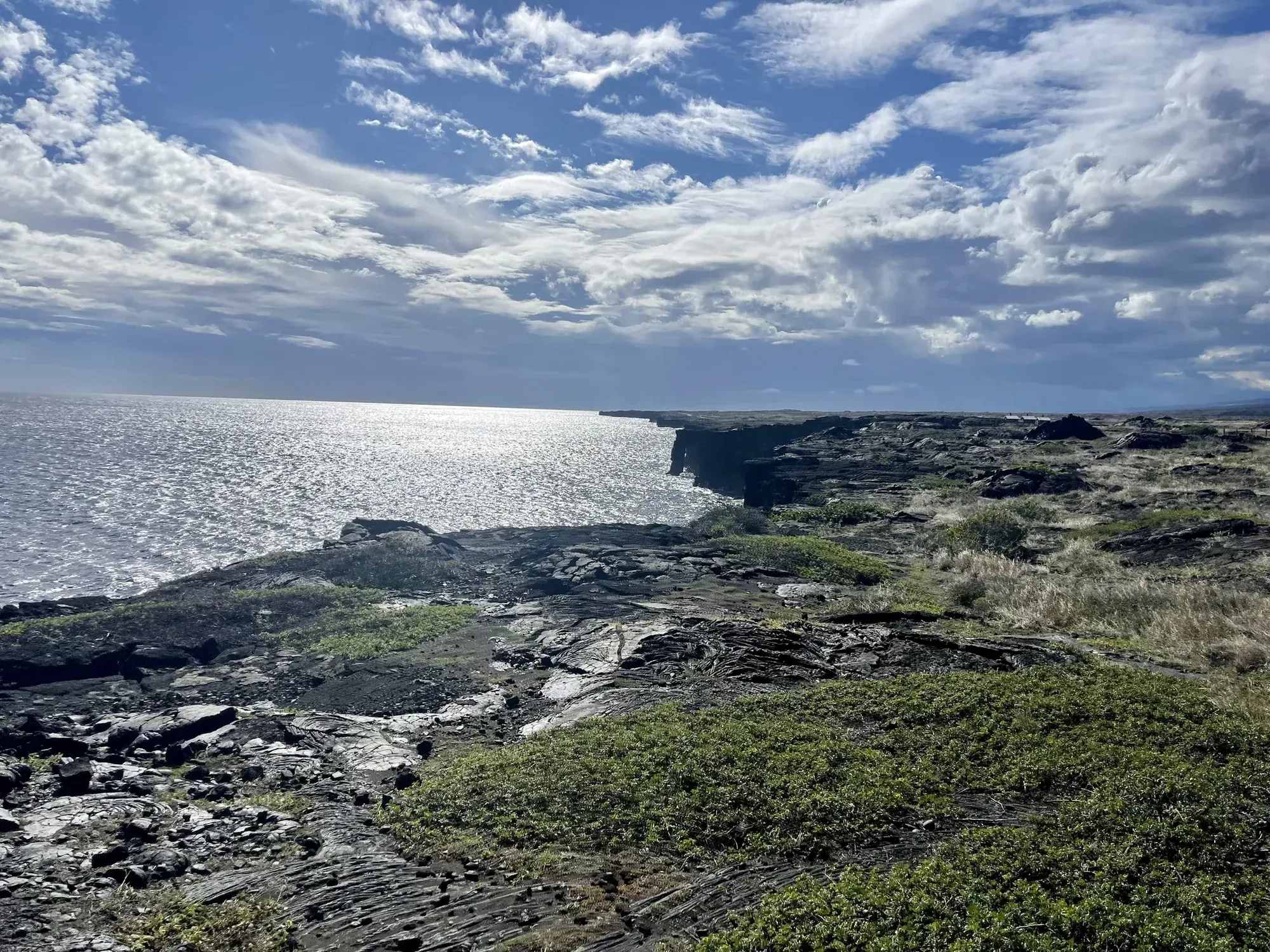
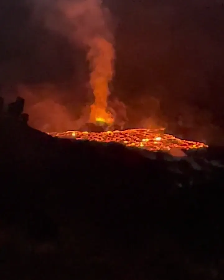
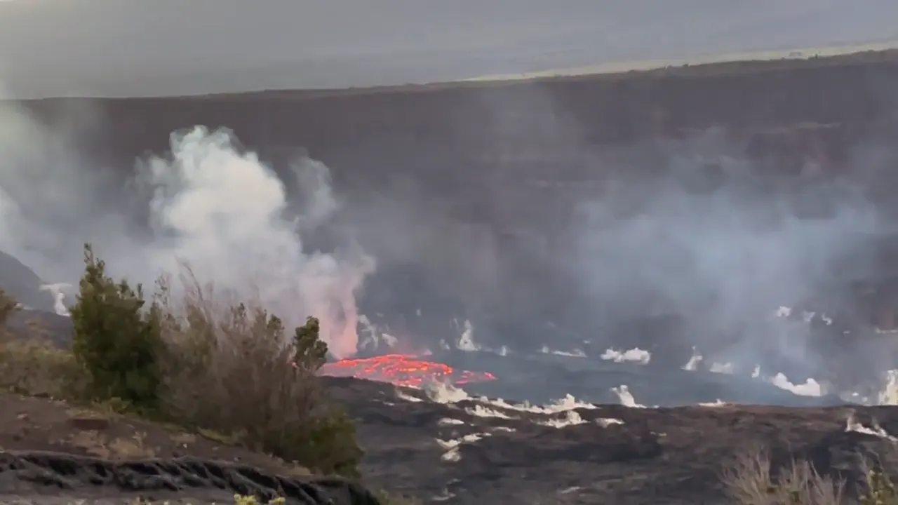
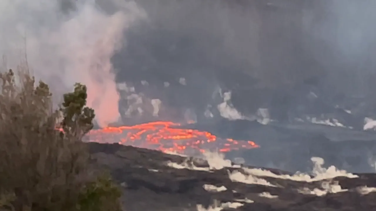
This is the park where you can watch the earth being made. We stood on the rim at night and watched lava fountain and glow in the crater. From there the road runs down to the coast, past old lava flows that go right into the ocean. The volcano was very active, and we did the crater hike that goes through the park, which was really unique.
Kīlauea Iki Trail
You drop through rainforest and then cross the floor of a crater that was a lava lake in 1959. It’s about four miles, it still steams in spots, and it felt like walking on another planet.
Look at the USGS eruption updates before your trip, and if there’s activity, come back after dark. Seeing the glow from the crater rim at night was the highlight of the park for us.
One quick overnight was not enough, and we wish we had slowed down. Staying in Volcano Village would let us get back to the crater rim after dark more than once.
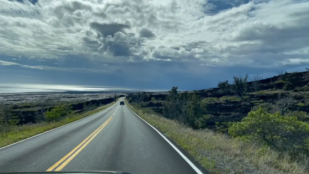
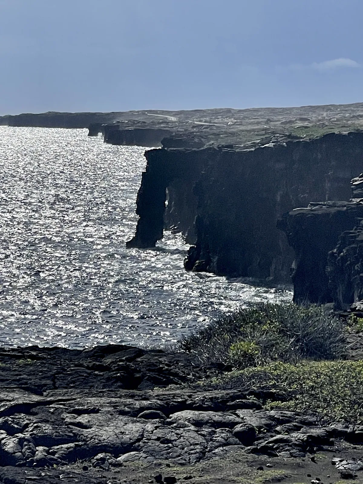
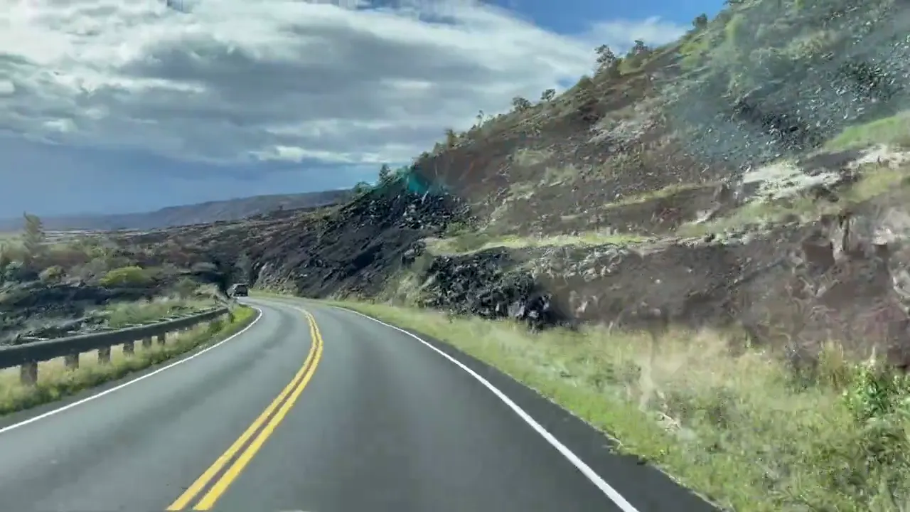
A second day would go to driving all of Chain of Craters Road, down to the Hōlei Sea Arch and the coast, and then seeing the quieter Kahuku Unit.
The Monday after Thanksgiving was a nice time to be there, with the holiday crowds thinning out. Kīlauea had started erupting again in Halemaʻumaʻu that fall, so we got to see a glowing lava lake, and the timing could not have been better. We had a mix of sun and big clouds along Chain of Craters Road, and the summit area can be cool and misty any time of year.
Volcano Village sits right outside the park in the rainforest and makes a good base. Ken’s House of Pancakes in Hilo has been a favorite there for decades.
Nāmakanipaio Campground
David 8/10Keri 7/10
We pulled into the campground really late at night and just stayed overnight. We were out early the following morning to hit the road again, so we didn’t stay there very long.
Best time
May, September
Mild all year. May and September best (drier, fewer people). December-January busiest and wettest. Lava is episodic. Storms closed areas in March, August and September 2026.
Month by monthKīlauea’s summit eruption is episodic, with pauses between episodes. Check the USGS updates for current activity before you plan around it. Last verified · usgs.gov
Itineraries
1 day
2 days
3 daysOur pick
Hawaiʻi Volcanoes itinerary: every day stop by stop, with sources
Compare the 1-, 2- and 3-day plans, day by day →
Map
2 visitor centers on a map you can zoom and drag. Map data loads from OpenStreetMap when you tap.
Visitor center Roads and trails are community-mapped; check closures with the park.
Locations from the NPS visitor-center listing, checked Nov 13, 2026. Hours and what each one has
Official NPS maps for Hawaiʻi Volcanoes (opens in a new tab) ↗
Trails
0.4 mi
Climbs a cinder cone. Kahuku is open Thu-Sun only.
Loop · About 30-45 minutes for the 0.4-mile loop
Start: Base of Puʻu o Lokuana cinder cone in Kahuku.
0.8–1.3 mi
Starts behind Volcano House off Crater Rim Trail. Steep, uneven and narrow in places.
One way (point to point) · About 1-2 hours
Start: Behind Volcano House, off Crater Rim Trail.
1 mi
Wheelchair and stroller accessible, though some grades top 8%.
Out and back · About 1 hour
Start: Puʻupuaʻi or Devastation Trail parking lot, both off Crater Rim Drive.
1 mi
An old road damaged in a 1983 earthquake, with caldera views.
Out and back · About 45-60 minutes
Start: East of Volcano House, across the street from Kīlauea Visitor Center.
1.2 mi
Volcanic gases seep out of the ground here. The accessible end starts across from Steam Vents.
Out and back · About 30-45 minutes
Start: Near Kīlauea Visitor Center parking lot; accessible approach across from Steam Vents parking lot.
1.2 mi
Rare plants and birds, 1.5 mi up Mauna Loa Road. No dogs, horses or bikes.
Loop · About 60-90 minutes
Start: Kīpukapuaulu parking area, 1.5 miles up Mauna Loa Road from Highway 11.
1.4 mi
About 23,000 petroglyphs, many visible from a boardwalk. Uneven lava; off Chain of Craters Road.
Out and back · About 60-90 minutes
Start: Puʻuloa parking area on Chain of Craters Road.
1.5 mi
A 500-year-old lava tube in rainforest. The trail is steep and often slippery, with low ceilings and standing water.
About 30-90 minutes
Start: Nāhuku parking area or Kīlauea Iki Overlook; parking is limited.
2 mi
The crater floor is 115 ft deep.
Out and back · About 1-1.5 hours
Start: Near Devastation Trailhead parking lot exit on Crater Rim Drive.
2.5 mi
Lava tree molds and a steep 1/4-mile climb to the top of a cinder cone.
Out and back · About 2-3 hours
Start: Trail begins approximately 100 yards from Maunaulu parking area.
3.3 mi
Crosses the 1959 lava lake. 5.3 mi from Kīlauea Visitor Center, or 6.0 mi from Devastation Trailhead.
Loop · About 2-3 hours from Kīlauea Iki Overlook
Start: Kīlauea Iki Overlook; parking is limited.
4.6–7 mi
Above the cross fence, the road is open to 4WD vehicles.
Lollipop loop · About 3-5 hours
Start: ROD Quarantine Gate; walk 1.2 miles each way to the Kona Trail loop.
Distances, gains and difficulty as NPS publishes them; the bar shows the published distance, dashed where a longer option exists.
Camping
Fees, permits & rules
Last verified · nps.gov All Hawaiʻi Volcanoes fees, permits and booking deadlines →
NPS lists the closure from February 18, 2025 through late 2026; the visitor center, restrooms and about half its parking remain listed as closed. A 2027 reopening date is not announced yet (NPS, checked Nov 2026). Visitor information and the park store are at the Welcome Center at Kilauea Military Camp, daily 9 am-4:45 pm, with parking at the ball field and portable toilets.
Last verified · Construction closures (NPS, checked Nov 2026)NPS lists intermittent closures as ongoing, with no 2027 completion date announced yet (checked Nov 2026). Pedestrians may use only paved sections and must yield to heavy equipment. The northern gravel access from the horse corral is closed during construction periods.
Last verified · Construction closures (NPS)NPS lists removal of Jaggar Museum and the damaged observatory buildings, the entrance roundabout and the new USGS field station as complete. Visitor center renovation remains ongoing; utility relocation is nearly complete. Expect delays and reduced summit parking.
Last verified · Construction closures (NPS, checked Nov 2026)The eruption area itself is closed because of volcanic gas, unstable cliff edges, ground cracks and falling tephra. View it only from open overlooks along Crater Rim Drive.
Last verified · Eruption viewing (NPS)Drones may not be launched, landed or flown in the park without written approval.
Last verified · Conditions & policies (NPS)Open Thursday-Sunday, 8 am-4 pm; closed Monday-Wednesday.
Last verified · Hours (NPS)Email me this guide Get a link to the Hawaiʻi Volcanoes guide in your inbox, to open again when you plan or before you go.
One email with the link. We don’t add you to any list unless you tick the box.
Historical recreation visits · 2021–2025 · as of Nov 3, 2026. Visits count entries, not unique people, parking spaces or trail crowding.
Busiest by average count: Dec. Quietest: Apr. Each bar is that month’s average visits across 5 years; unusual years and reported zeros are included. Past visits can’t tell you the best time of day to arrive.
Every month’s visits and NOAA weather, with the counts for each year →
NPS Visitor Use Statistics: monthly report · NPS monthly data · checked Nov 3, 2026; latest included year 2025.
Plan your visit
For any park: passes and free entrance days · what to pack · visiting with kids · stargazing
Getting there and park logistics →
Find a place to stay near Hawaiʻi Volcanoes → See camping and backup options for this park.
How this page is made. The section “What we’d tell a friend” is ours. Our recorded visits to Hawaiʻi Volcanoes include November 2021.Planning information, including any fees, permits, closures, weather and crowd figures shown here, is compiled from the National Park Service, Recreation.gov and other public sources, and each fact shows the date we last checked it. If something is wrong, tell us and we’ll log the fix on our corrections page.