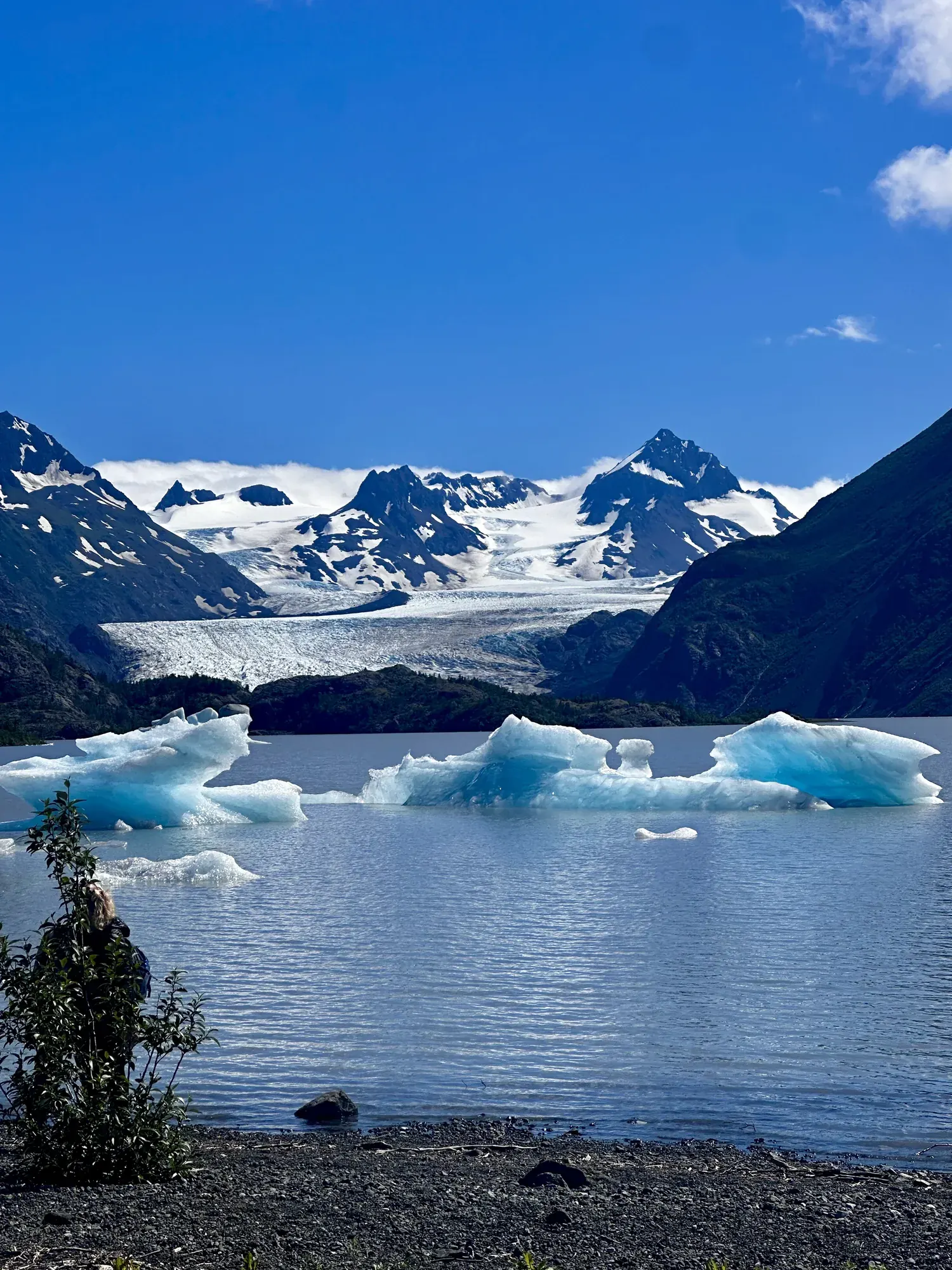
Exit Glacier
The lower Exit Glacier trails follow the glacier’s retreat, with signs marking where the ice once stood, and end at an overlook where Exit Glacier was in 2010. The first section is accessible: packed gravel and dirt, 3 feet wide. The second section climbs about 300 feet on a narrower, unpacked trail.
Kenai Fjords · Photo: David & Keri New
- 300 ftElevation gain
- 1–2 hrTime
- EasyDifficulty
The numbers, with sources
Distance: Not available: the NPS page doesn’t give the length of the lower trails. Source
Gain: About 300 feet on the second half of the lower trails. Source
Time: 1–2 hours for the lower trails. Source
Difficulty: Easy first half on a 3-foot-wide packed gravel and dirt path; the second half is steeper and narrower. Source
Trailhead: The NPS doesn’t publish this for the whole route. Consult the official route description and park map for the start. Source
Route type: Out-and-back Source
Built from official sources (checked Nov 6, 2026). Confirm current conditions with the park.
Recreation.gov permits, entrances & campgrounds
Recreation.gov (RIDB). Booking records date not published. NPS guidance above takes precedence. A listing doesn’t mean you need a permit or that there’s space on your dates.
Park campground options (1)
These records belong to the park’s NPS recreation area. We haven’t checked how close these are to the trail, when they open or whether sites are free; check the map and the booking page.
Kenai Fjords National Park Cabins — Campground; RIDB reservable: yes. Season: not published in structured RIDB data. Recreation.gov (RIDB) source · Booking details
Route, junction by junction
Route selection → Described destination
The lower Exit Glacier trails follow the glacier’s retreat, with signs marking where the ice once stood, and end at an overlook where Exit Glacier was in 2010. The first section is accessible: packed gravel and dirt, 3 feet wide. The second section climbs about 300 feet on a narrower, unpacked trail. Source
No elevation profile yet:
No elevation profile yet: we haven’t verified a complete line for this route. No partial line, invented connector, scaled mileage or flat profile is substituted. Source
In-depth guide
Compiled from linked sources, checked Nov 6, 2026. Each paragraph links to its source.
Is this hike for you?
The lower Exit Glacier trails follow the years of the glacier’s retreat and end at an overlook where Exit Glacier was in 2010. The NPS says to allow 1-2 hours. It doesn’t give a distance. The second half climbs about 300 feet. Source
The trail
The first half is an accessible trail: packed dirt and gravel, 3 feet wide. The second half gains 300 feet on narrower, unpacked trail. Source
The NPS trail map lists several trails here (Glacier View, Side of Glacier, Glacier Spur, Exit Glacier Main, Edge of Glacier), and OpenStreetMap shows a Glacier View Loop Trail, but we haven’t pieced together the full route from those maps. Source · Source 2
Nature center and restrooms
The Exit Glacier Nature Center is open Memorial Day through Labor Day, with displays on the area, wildlife and glaciers, and rangers to answer questions. The NPS suggests 30 minutes - 1 hour there. There’s an accessible restroom nearby. Source
Before you go
No pets on the Exit Glacier area trails except service animals. Source
The NPS page gives no road opening dates, parking times or shuttle times, so check current road and trail status before you go. Source
There’s no elevation profile yet: we haven’t verified a complete mapped line for this route. Source
Getting there and back
The NPS doesn’t publish this for the whole route. Consult the official route description and park map for the start. Source
Return: Use the return described in the official route account. Don’t count on a shuttle, boat, flight or pickup unless you have confirmed it yourself. Source
Water
The NPS doesn’t publish a full list of water and restrooms along this route. Use only the facilities explicitly identified in the NPS account; confirm current operations. Source
Hazards
The Exit Glacier Nature Center, with exhibits and rangers, is open Memorial Day through Labor Day, and an accessible restroom is nearby. Pets are not allowed on the Exit Glacier area trails except service animals. Check current road and trail status. The NPS page doesn’t give road opening dates. Source
Season
This page can’t tell you current access. Check NPS conditions before departure. Source
Check current conditions and seasonal access with the park before you go. Check the park before departure. Source
Gear & rules
Respect current closures, signs and barriers. A mapped path is not proof that travel is permitted. Source
Filling a gap in your kit? Compare these packing essentials on Amazon. Choose gear for your route, conditions and the park’s guidance.
As an Amazon Associate we earn from qualifying purchases. How this works
Pets are not allowed on the trails in the Exit Glacier Area unless they are service animals. Source
Questions
Which hike is this?
The lower Exit Glacier trails follow the glacier’s retreat, with signs marking where the ice once stood, and end at an overlook where Exit Glacier was in 2010. The first section is accessible: packed gravel and dirt, 3 feet wide. The second section climbs about 300 feet on a narrower, unpacked trail. Not available: the NPS page doesn’t give the length of the lower trails. Source
Is a measured elevation profile available?
No elevation profile yet: we haven’t verified a complete line for this route. No partial line, invented connector, scaled mileage or flat profile is substituted. Source
Alternatives
Alternative-route distances and durations are unavailable unless separately described in the source. Side trails aren’t included. Source
Camp near Exit Glacier
Closest campgrounds by drive time to Exit Glacier Nature Center:
- 40 min Primrose Campground ↗ (22.9 mi, USDA Forest Service)
- 45 min Ptarmigan Creek ↗ (28 mi, USDA Forest Service)
- 50 min Trail River ↗ (30 mi, USDA Forest Service)
- 1 hr 16 min Quartz Creek Campground ↗ (49.9 mi, USDA Forest Service)
Driving time with no traffic (OSRM, OpenStreetMap roads). Some park roads are shuttle-only in season. All camping near Kenai Fjords
More Kenai Fjords trail guides
- Harding Icefield Trail7.8 mi · Strenuous