Our favorite hike
Harding Icefield Trail
It’s a steady climb beside Exit Glacier up to a view of the Harding Icefield, a sheet of ice that goes on as far as you can see. We think it’s the best hike in the park.

Alaska
Tidewater glaciers, steep fjords and the Harding Icefield, just outside Seward. One road reaches Exit Glacier; the rest of the park’s 600,000+ acres you see by boat, kayak, plane or a strenuous climb to the icefield.
By David & Keri New, who have visited 63 of the 64 U.S. national parksUpdated
61Park 61 of our 63Visited Jul 2024
Saves this park and its trail guides on this device. Alerts and conditions are as of when you save; live maps and bookings need a connection.
NPS alertsAs of 6:03 AM ET, Nov 20
2 days is our starting point.
Allow two full days in Seward. Use one for a confirmed fjords cruise and one for the Exit Glacier viewpoints if the road and trails are open. Add Harding Icefield on a separate day if the full hike suits your group and current conditions.
Open the 2-day itineraryOpen the 3-day itineraryKenai Fjords boat toursNPS park conditions
With a few hours when the road is open, walk the one-mile accessible Glacier View Loop at Exit Glacier. The road is closed to cars now and usually until mid-May. The area is then 7 miles past the first gate by ski, snowshoe or fat bike.
National Park Service guidanceNPS park conditionsNational Park Service guidance
Add a guided sea kayak trip. Afternoon trips stay in Resurrection Bay, while longer day or multi-day trips reach the park. NPS strongly recommends a guide for inexperienced paddlers because the fjords are exposed to the Gulf of Alaska.
If your cruise is canceled, ask about the next sailing and use the Exit Glacier viewpoints only if the road and trails are open. If both options fall through, stay in Seward and check the harbor visitor center hours or Alaska SeaLife Center availability.
Open the backup itineraryNPS park conditionsNPS visitor center hoursAlaska SeaLife Center
Seward, with the night before your cruise in town
Stay near the small boat harbor for an early check-in or elsewhere in Seward if you have a ride to the dock. Confirm the departure point with your operator. Allow separate time to reach Seward before the first activity day.
Lodging and gateway townsNPS visitor center hoursSeward shuttles and taxis
Choose the sailing you want and confirm its check-in location and time before fixing the rest of your stay. Match your room and travel to the sailing, then confirm how you will reach Exit Glacier on the land day.
Kenai Fjords boat toursNPS visitor center hoursSeward shuttles and taxisLodging and gateway towns
Seward is 126 miles south of Anchorage on the Seward Highway, open year-round. The Alaska Railroad runs to Seward from May to September. Exit Glacier Road, the only road into the park, is 8.6 miles and closed to cars in winter.
Our visit
July 2024
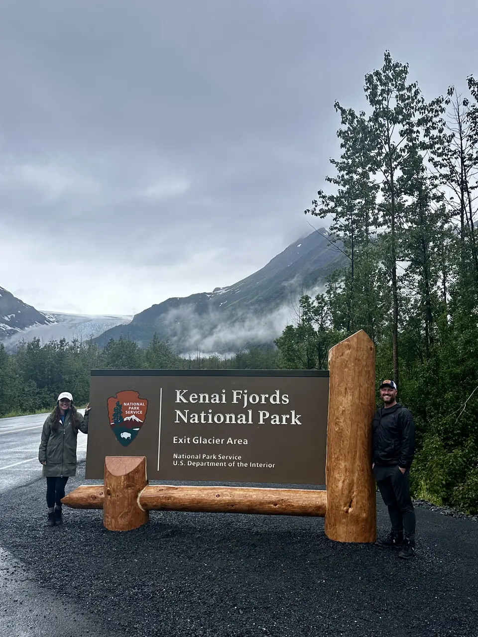
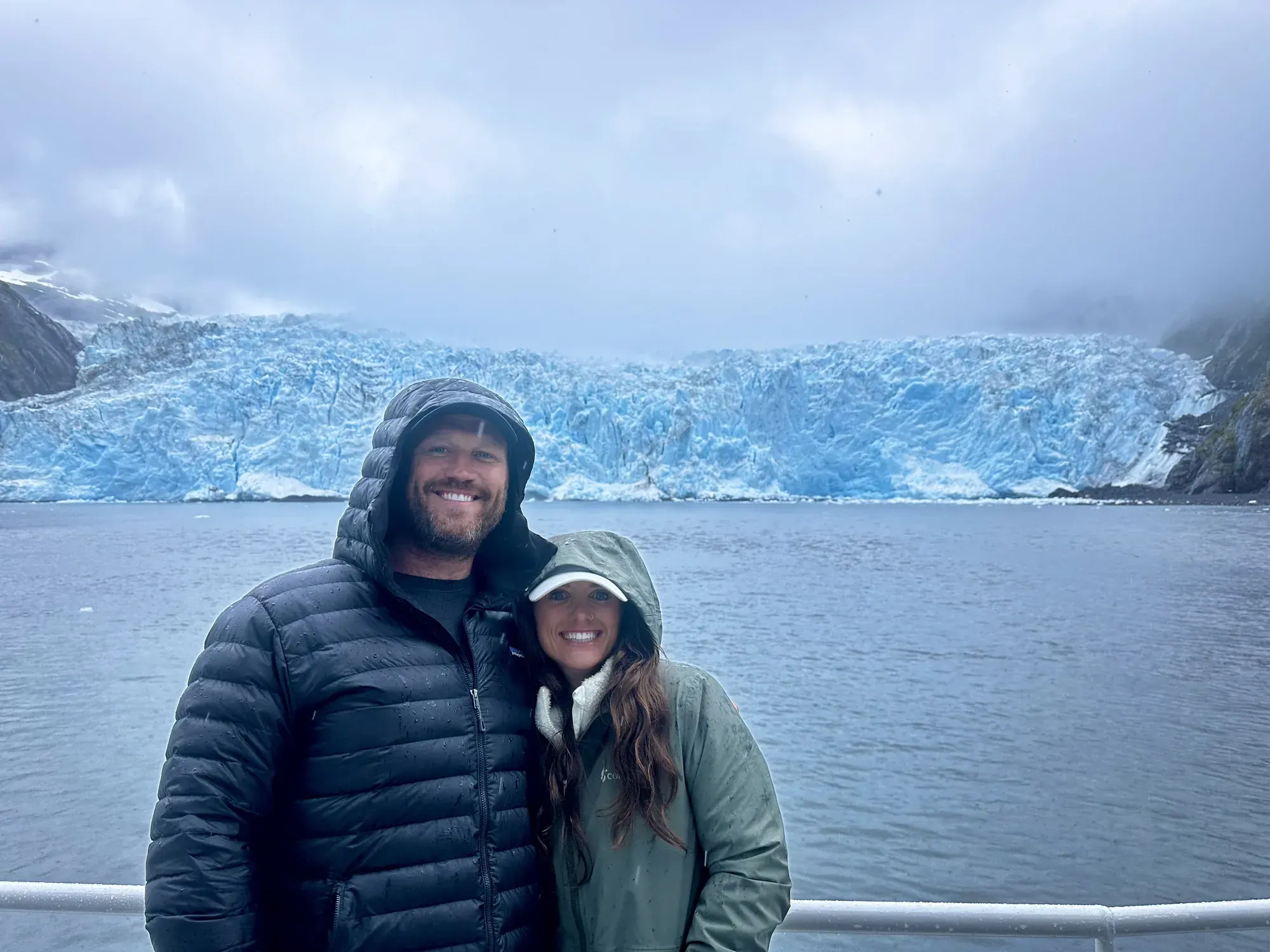
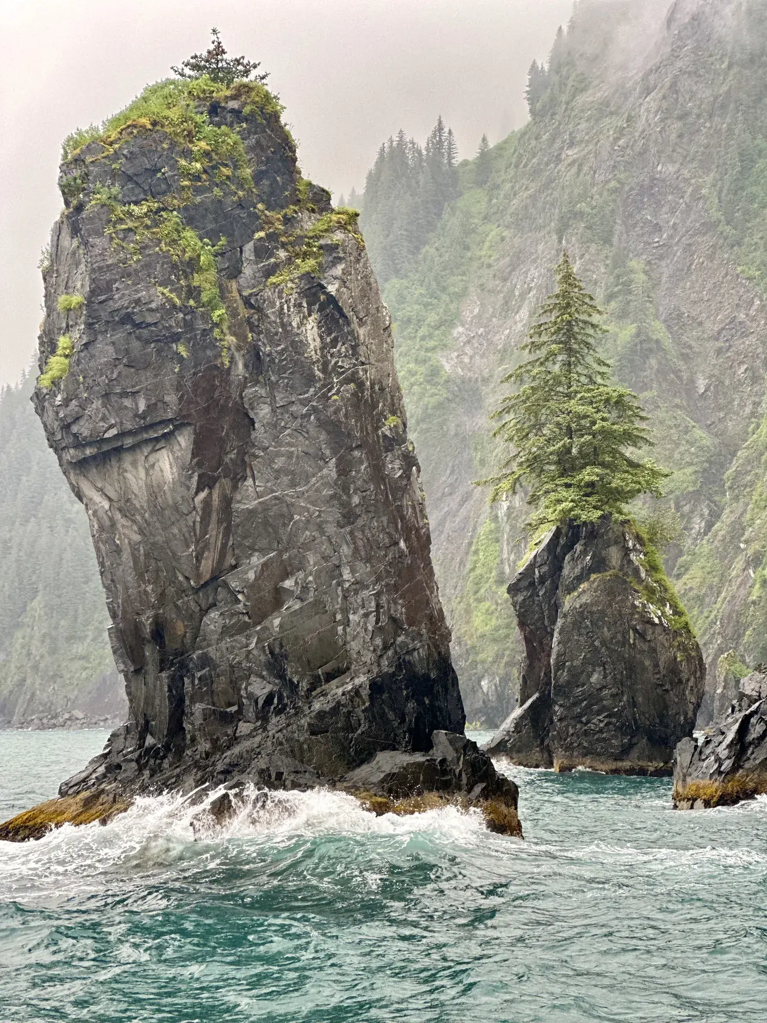
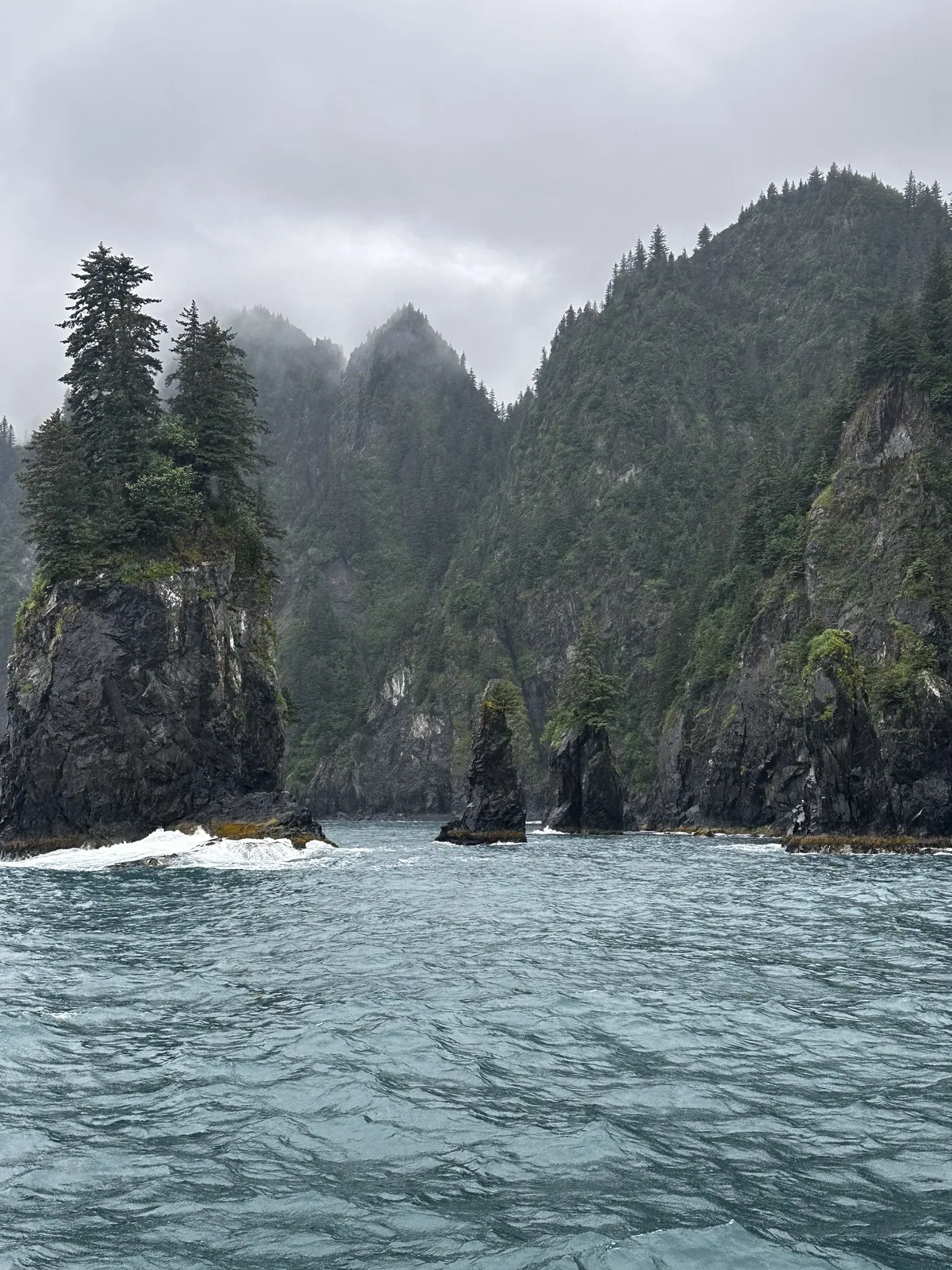
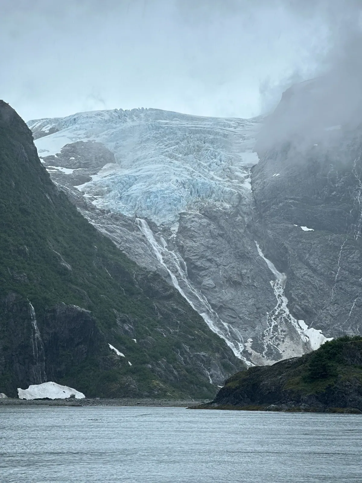
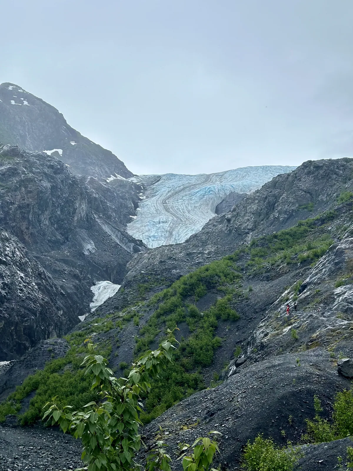
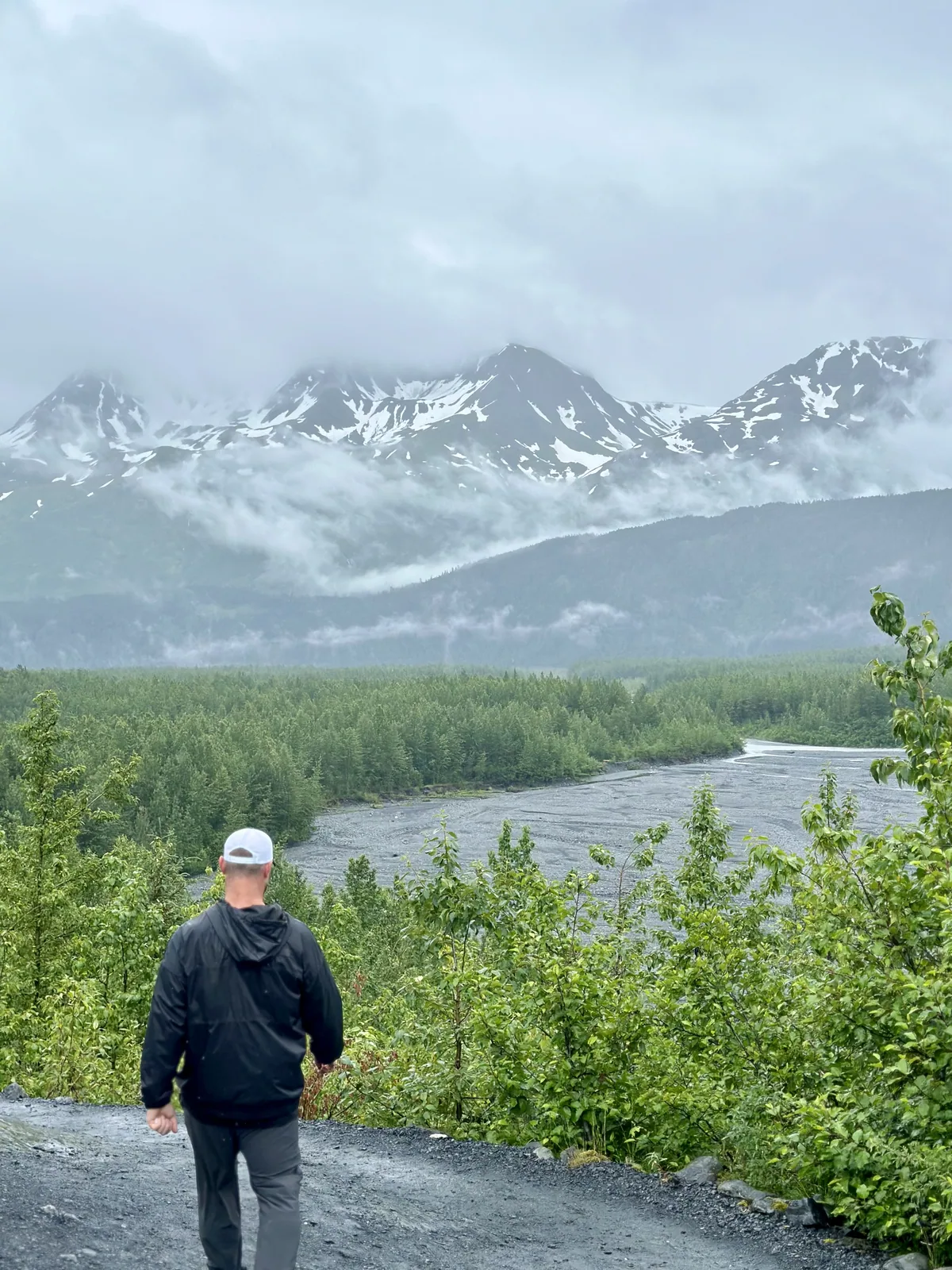
Why it’s on our list
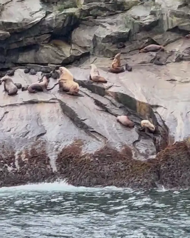
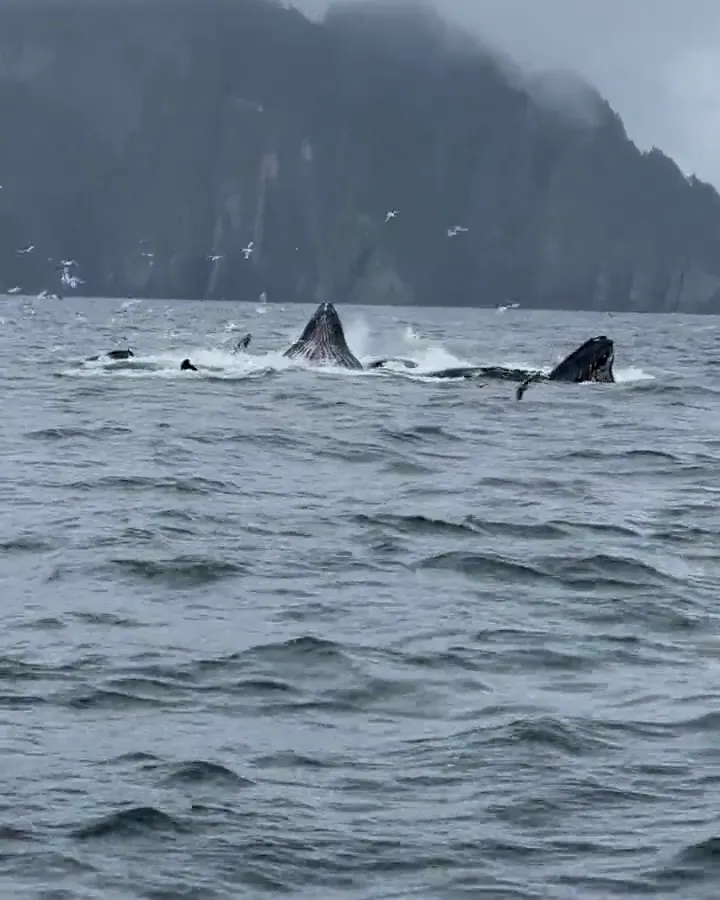
Kenai Fjords showcases some of the most spectacular coastal scenery in Alaska. With enormous glaciers flowing toward the ocean, towering mountains, and incredible opportunities to spot whales, sea lions, and other wildlife, this park is truly impressive. However, experiencing much of the park requires getting out on the water, making it a little less accessible than some of our favorites.
Our favorite moment
Watching a glacier calve into the ocean, hiking to the Harding Icefield, and exploring Exit Glacier.
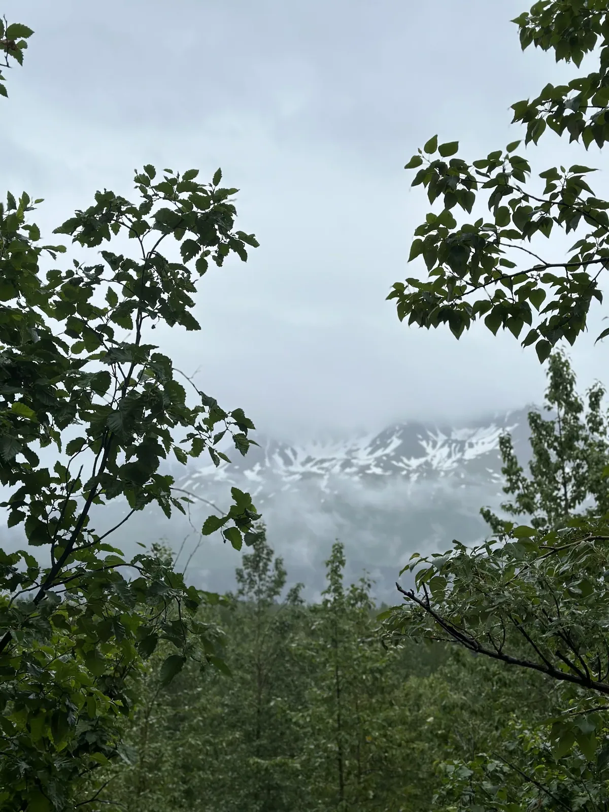
Photos by David & Keri New.
Firsthand · David & Keri New
Kenai Fjords is glaciers meeting the sea. Tidewater glaciers calve into the fjords, and sea stacks rise out of the water. We saw it on a misty, rainy day, and the blue ice stood out even more because of it.
Harding Icefield Trail
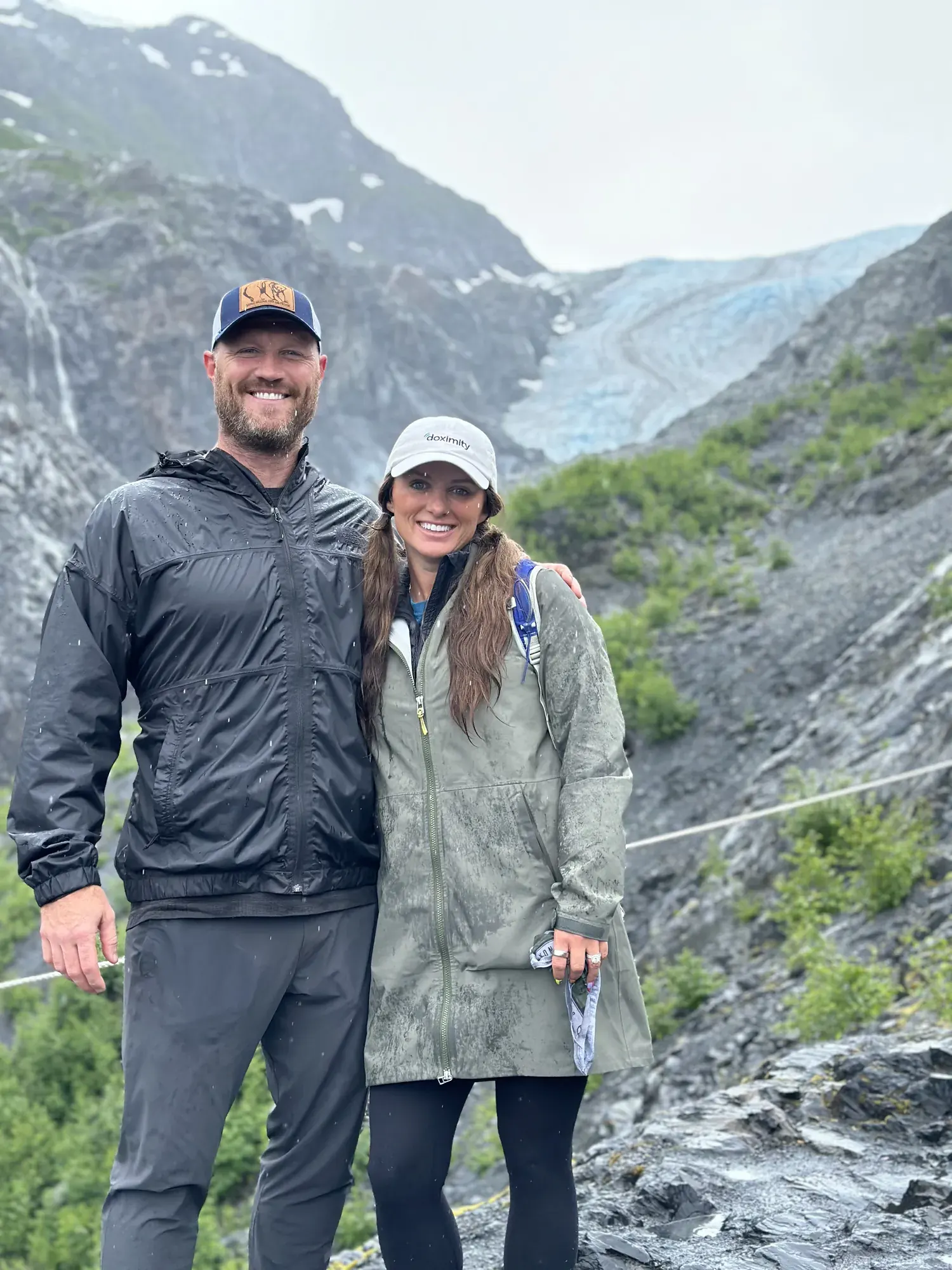
It’s a steady climb beside Exit Glacier up to a view of the Harding Icefield, a sheet of ice that goes on as far as you can see. We think it’s the best hike in the park.
Most of the park can only be reached by boat, so take a full-day tour out of Seward to a tidewater glacier. Take seasickness medicine before you board, because the open water can get rough.
A second boat tour farther out to Northwestern Fjord is one idea. Paddling among the icebergs in the Bear Glacier lagoon is the other.
Boat tours and wildlife are both at their peak in July. We wore rain jackets on the boat and on the trail, which is pretty normal for this coast.
Seward is a fun harbor town to walk around, and the Alaska SeaLife Center is a good stop. The drive down the Seward Highway is part of the trip.
Day trip
No overnight stay on this visit.
Best time
June, July
Best June-August: road, visitor centers and fjord cruises all running. May/September are shoulder months. Late October-mid May the road is closed to cars.
Month by monthExit Glacier Road is closed to cars for the season as of October 23, 2026. That’s the usual winter closure, into May. Last verified · nps.gov
Itineraries
2 daysOur pick
3 days · Add Harding Icefield
Kenai Fjords itinerary: every day stop by stop, with sources
Compare the 2-day plans, day by day →
Map
2 visitor centers and 1 of the 4 campgrounds on a map you can zoom and drag. Map data loads from OpenStreetMap when you tap.
Visitor centerCampground Roads and trails are community-mapped; check closures with the park.
Locations from the NPS visitor-center listing, checked Nov 13, 2026. Hours and what each one has
Locations from Recreation.gov, checked Nov 7, 2026. Not on this map: Exit Glacier, Aialik & Holgate coastal cabins and Willow winter cabin (no Recreation.gov location in our data). Compare all 4 campgrounds
Trails
0.6 mi
Ends at an overlook of Exit Glacier in its carved valley, near where the glacier was in 2010. Allow 1-2 hours for the lower trails.
Loop · About 1–2 hours
Start: Exit Glacier Nature Center parking area; follow Glacier View Loop toward the Glacier Overlook Loop.
1 mi
Partly paved, partly compacted gravel loop through cottonwood forest to a panoramic view of Exit Glacier. Wheelchairs can be borrowed at the nature center. Snow may limit access when the road first opens in May.
Loop
Start: Exit Glacier Nature Center, beside the parking lot at the end of Exit Glacier Road.
7.8–8 mi
Through cottonwood and alder, past heather meadows, to a view across the Harding Icefield. Marmot Meadows (1.4 mi) and Top of the Cliff (2.4 mi) make good turnarounds. Allow 6-8 hours. The upper trail is often snow-covered into early July, with avalanche risk; in winter it’s a mountaineering route. Black bears are seen almost daily. No toilets or trash cans.
Out and back · About 6–8 hours
Start: Exit Glacier area; access from the nature center trail network.
Distances, gains and difficulty as NPS publishes them; the bar shows the published distance, dashed where a longer option exists.
Camping
Fees, permits & rules
Last verified · nps.gov All Kenai Fjords fees, permits and booking deadlines →
As of late October 2026, Herman Leirer (Exit Glacier) Road is closed to cars, and the area is closed to snowmachines until there’s adequate snow cover.
Last verified · Current Conditions (NPS)The road usually stays closed to cars through mid-May, depending on snow. 2027 opening date not announced yet (NPS, checked Nov 2026); road status is posted on the Current Conditions page.
Last verified · Exit Glacier Area (NPS)Closed from the toe of Exit Glacier to the Outwash Plain because sudden glacial outburst floods can surge through at any time, regardless of weather. Designated trails avoid the zone; stay on them.
Last verified · Current Conditions (NPS)Entering the ice-fall hazard zone at Aialik Glacier’s terminus is prohibited: falling ice can trigger local tsunami waves onto nearby beaches.
Last verified · NPS alert; Kayak & Boat SafetyA landslide-triggered tsunami washed over parts of Pedersen Lagoon on August 7, 2024. Use caution there, and enter local lagoons only around high tide.
Last verified · NPS alert; Kayak & Boat SafetyPets must be leashed or restrained and never left unattended. They’re allowed only on the Exit Glacier road and in the nature center parking lot: not on any trail, in the campground or public-use cabins, in park buildings, or anywhere in the coastal backcountry. The pets page also lists a specific coastal closure from the mean high tide line to 1/4 mile inland, 5/30-11/1. Service animals are allowed.
Last verified · Pets (NPS)Email me this guide Get a link to the Kenai Fjords guide in your inbox, to open again when you plan or before you go.
One email with the link. We don’t add you to any list unless you tick the box.
Historical recreation visits · 2021–2025 · as of Nov 3, 2026. Visits count entries, not unique people, parking spaces or trail crowding.
Busiest by average count: Jul. Quietest: Nov. Each bar is that month’s average visits across 5 years; unusual years and reported zeros are included. Past visits can’t tell you the best time of day to arrive.
Every month’s visits and NOAA weather, with the counts for each year →
NPS Visitor Use Statistics: monthly report · NPS monthly data · checked Nov 3, 2026; latest included year 2025.
Plan your visit
For any park: passes and free entrance days · what to pack · visiting with kids · stargazing
Getting there and park logistics →
Find a place to stay near Kenai Fjords → See camping and backup options for this park. Base town: Seward, AK.
How this page is made. The section “What we’d tell a friend” is ours. Our recorded visits to Kenai Fjords include July 2024.Planning information, including any fees, permits, closures, weather and crowd figures shown here, is compiled from the National Park Service, Recreation.gov and other public sources, and each fact shows the date we last checked it. If something is wrong, tell us and we’ll log the fix on our corrections page.