About
About Ohanapecosh Campground
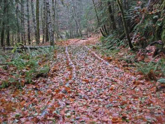
Ohanapecosh Campground is on the southeast side of Mount Rainier National Park, in old growth forest along a snow-fed river. Hikes to Silver Falls start nearby. The Grove of the Patriarchs trail is closed until the bridge to the Grove is replaced. The mountain itself is a glacier-clad volcano, 14,411 ft. high, visible for hundreds of miles. The drive passes old-growth forests, waterfalls and historic buildings on the way to sub-alpine meadows known for their wildflowers…
NOTE: The Ohanapecosh Campground will be CLOSED for the summer of 2026 as part of the Ohanapecosh Campground rehabilitation project. Ohanapecosh Campground is tucked in the forest along the banks of the Ohanapecosh River at an elevation of 1,914 feet. It is located in the southeast corner of the park along State Route 123. Trails that begin at the campground lead to Silver Falls and the Grove of the Patriarchs. Stop by the Ohanapecosh Visitor Center for information and exhibits.
Facilities: This large campground has 188 individual sites for RV or tent camping situated among the ancient trees. There is drinking water, but no electric hookups. Visitors must use extra caution with food storage, as bear and other animals inhabit the area around the campground.
Setting: Ohanapecosh is thought to be a Taidnapam Indian word for “standing on the edge” of the Ohanapecosh River. The river itself is lined with mossy boulders and drains cold, clear water down from higher elevations. Its banks are lined with thick, old growth Douglas fir trees and other evergreens. There is no view of Mt. Rainier directly from the campground, though the mountain dominates the landscape i
Amphitheater · Picnic Tables