Snow-covered Mount Rainier above evergreens and a green meadow, seen from wide stone steps engraved with a John Muir quote

Washington

Mount Rainier National Park Guide

A 14,410-foot active volcano with more than 35 square miles of permanent ice and snow, about 2.5 hours from Seattle. It’s the country’s fifth-oldest national park, with wildflower meadows at Paradise and 97% of the park designated Wilderness.

By David & Keri New, who have visited 63 of the 64 U.S. national parksUpdated

Park 46 of our 63Visited Aug–September 2022

Your trip planner

Add Mount Rainier to a trip

Choose a saved trip or start a new draft for this park.

Saves this park and its trail guides on this device. Alerts and conditions are as of when you save; live maps and bookings need a connection.

Photo: David & Keri New

NPS alertsAs of 6:03 AM ET, Nov 20

Paradise Road Status: Gate closed at Longmire: projected to open tomorrow

  • WILDFIRE CLOSURES: Sunrise & northern trails.
  • Winter Season Closures
Booking morning · Tuesday, December 1 · About 8 a.m. ET observed June 2027 dates open at Cougar Rock Campground. Get a free reminder →

Plan your first trip to Mount Rainier

3 days in summer is our starting point.

Pair Paradise and Longmire from one southwest base. Add Sunrise on day three only if the White River approach and Sunrise Road work for your dates.

Open the 3-day itineraryNational Park Service guidance

Starts a new draft and keeps your saved trips. Set a custom duration in the full planner.

How many days?

1 day
  1. Paradise and the Skyline Trail

With a few hours, enter at Nisqually and walk the 0.7-mile Trail of the Shadows at Longmire, open year-round. If the Longmire gate is open, drive the 12 miles to Paradise, about 25 minutes. In winter, leave Paradise by 3:30 PM.

National Park Service guidanceNPS directionsNational Park Service guidance

Open this day plan
3 days · our pick
  1. Paradise and the Skyline Trail
  2. Longmire forest and historic district
  3. Glacier views from Sunrise
Open this day plan
Compare all trip lengths
Optional add-on

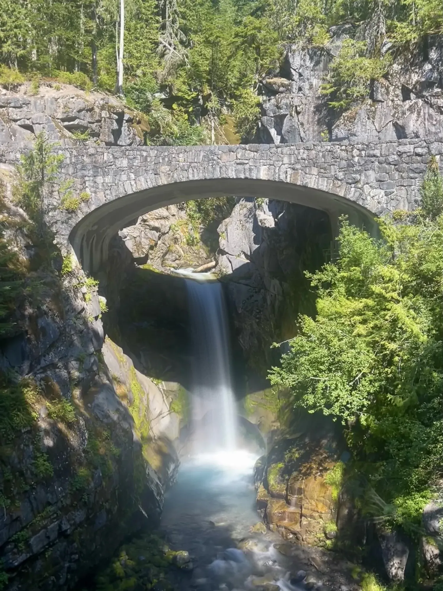
On the road to Paradise, stop at Christine Falls, 4 miles east of Longmire. A short walk from the pullout shows the falls below a stone bridge. Parking is limited, and do not walk or stop on the bridge.

National Park Service guidance

If plans change

If the gate to Paradise stays shut, do the Longmire forest and historic-district day when the lower road is open. If Sunrise is inaccessible, keep the third day on the southwest side instead of assuming the road across the park will be open.

National Park Service guidanceNPS park conditionsOpen the 2-day itinerary

Check what’s open

Where to base yourself

Ashford or Longmire for the first two trips

Stay on the Nisqually side for Paradise and Longmire. If you are adding Sunrise, compare an overnight base for the White River approach and check the connecting roads before committing to a transfer.

NPS directionsLodging and gateway townsNational Park Service guidance

Compare stays and access

Before you book

Check the roads to your chosen area before committing to lodging or campsites. Recheck the Longmire gate and current entry rules for your actual visit.

NPS park conditionsNational Park Service guidanceNational Park News guide

Getting there and getting around

Use the Nisqually Entrance on SR 706, open year-round. Set GPS to 39000 State Route 706 E, Ashford, not the park's street address. All vehicles must carry tire chains November 1 to May 1. Carbon River and Mowich Lake have no access from SR 165.

NPS directionsNational Park Service guidance

Our visit

Park 46 of our 63

Where Mount Rainier ranks in our 63

August–September 2022

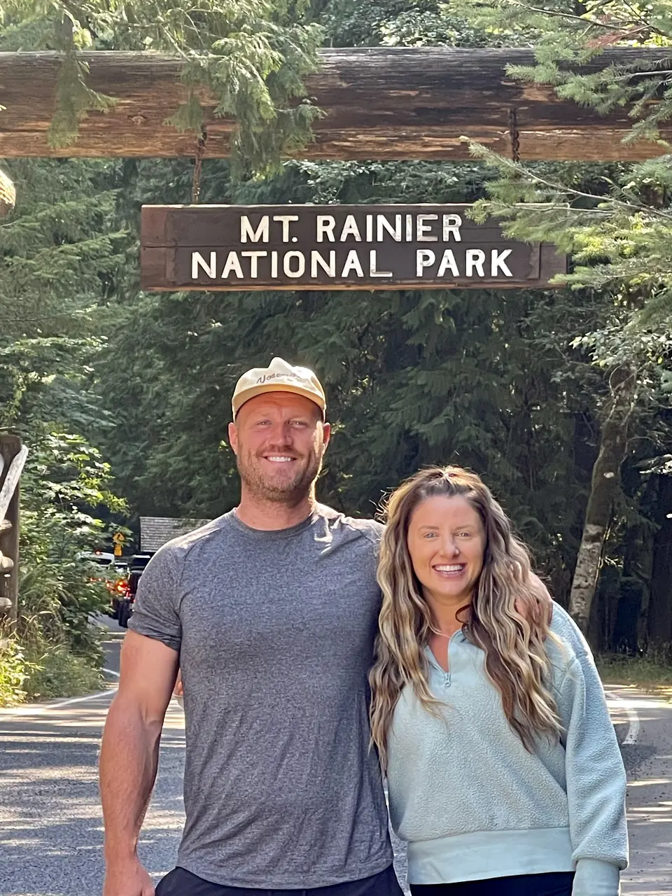
David and Keri at the Mount Rainier entrance sign
We were hereAug 30, 2022
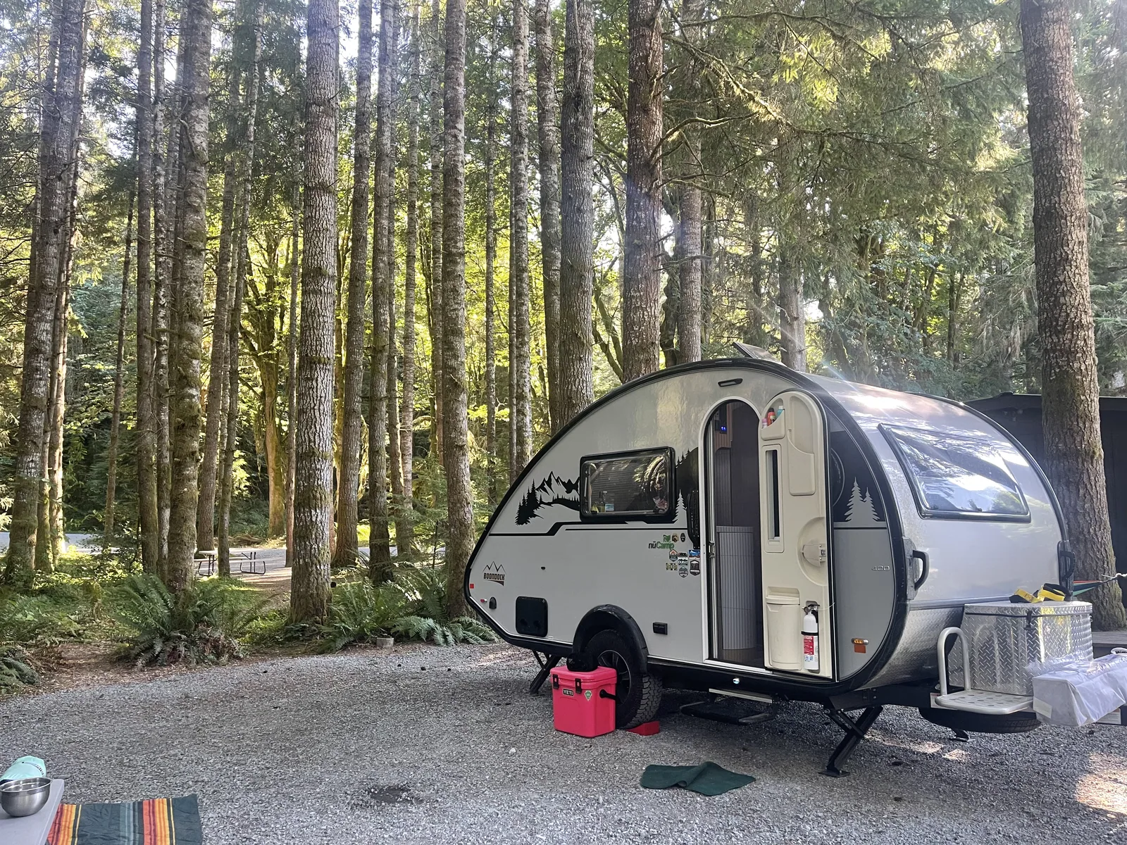
Our travel trailer at a wooded campsite in Lewis County, Washington, the night before our Mount Rainier stay, August 2022
Our trailer at a wooded Lewis County campsite the night before our Mount Rainier stay. · Aug 29, 2022
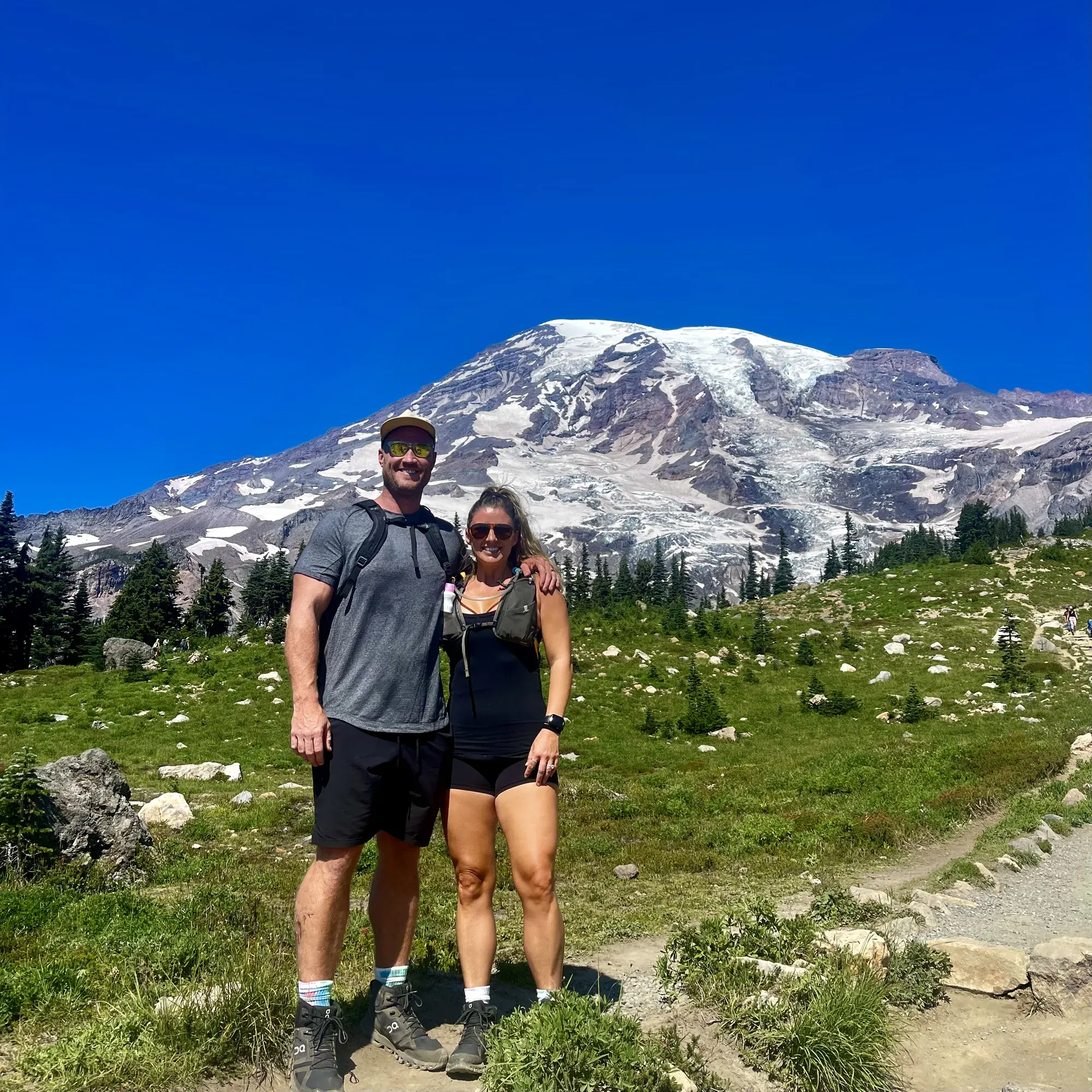
Two hikers on a trail through a green meadow, snow-capped Mount Rainier behind them under a deep blue sky
David and Keri on a meadow trail with Mount Rainier bright against the blue sky. · Aug 30, 2022
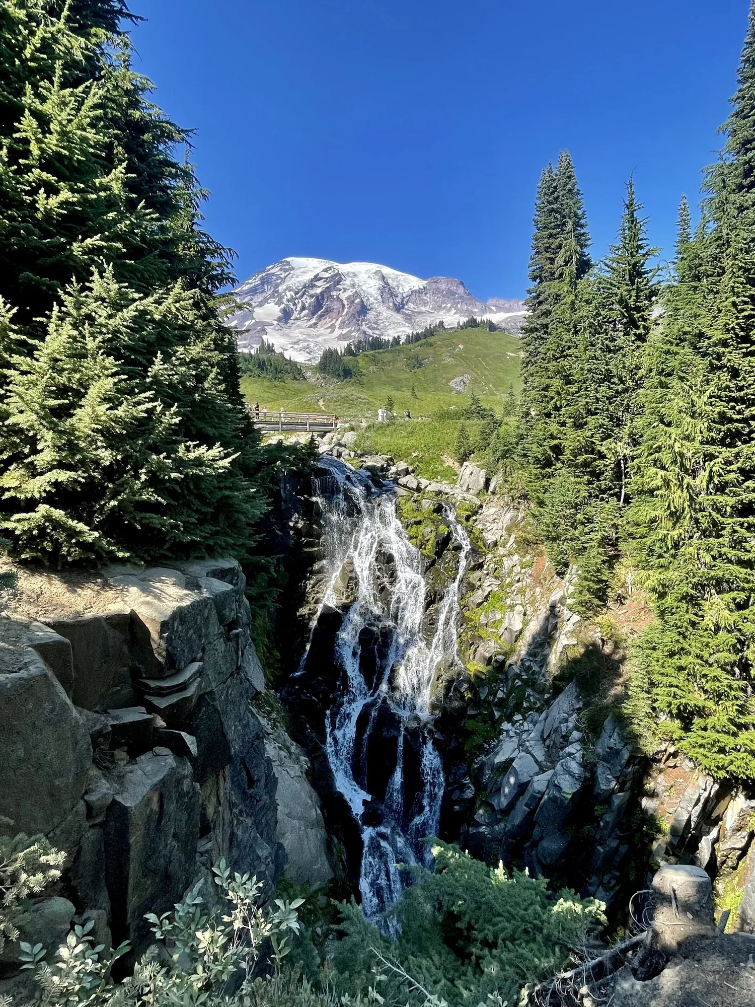
A waterfall pours through firs with snow-covered Mount Rainier rising behind it
Mount Rainier rises above the falling water and evergreens at Myrtle Falls. · Aug 30, 2022
A waterfall pours beneath an arched stone bridge in a mossy gorge at Mount Rainier
Christine Falls drops through a stone arch on the road up Mount Rainier. · Aug 30, 2022
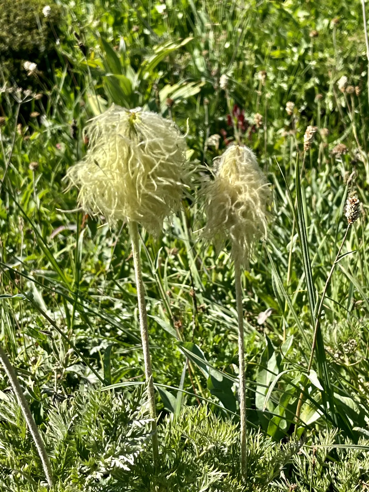
Western pasqueflower seed heads stand fluffy and pale in a green subalpine meadow at Mount Rainier
Fluffy pasqueflower seed heads beside the trail at Mount Rainier. · Aug 30, 2022
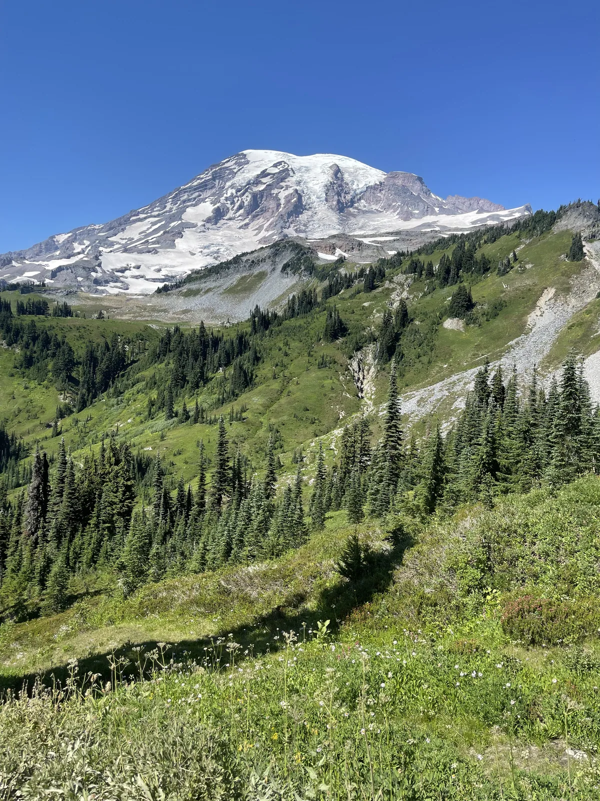
Snow-covered Mount Rainier rises above a green meadow and a rocky trail
Snow-covered Mount Rainier above a green meadow on a clear day. · Aug 30, 2022

Why it’s on our list

Mount Rainier is an absolutely spectacular mountain that dominates the surrounding landscape. With its massive glaciers, colorful wildflower meadows, beautiful alpine lakes, and incredible hiking trails, this park offers some of the most impressive mountain scenery in the Pacific Northwest.

Our favorite moment

Hiking the Skyline Trail, walking through wildflower meadows at Paradise, and exploring the Sunrise area.

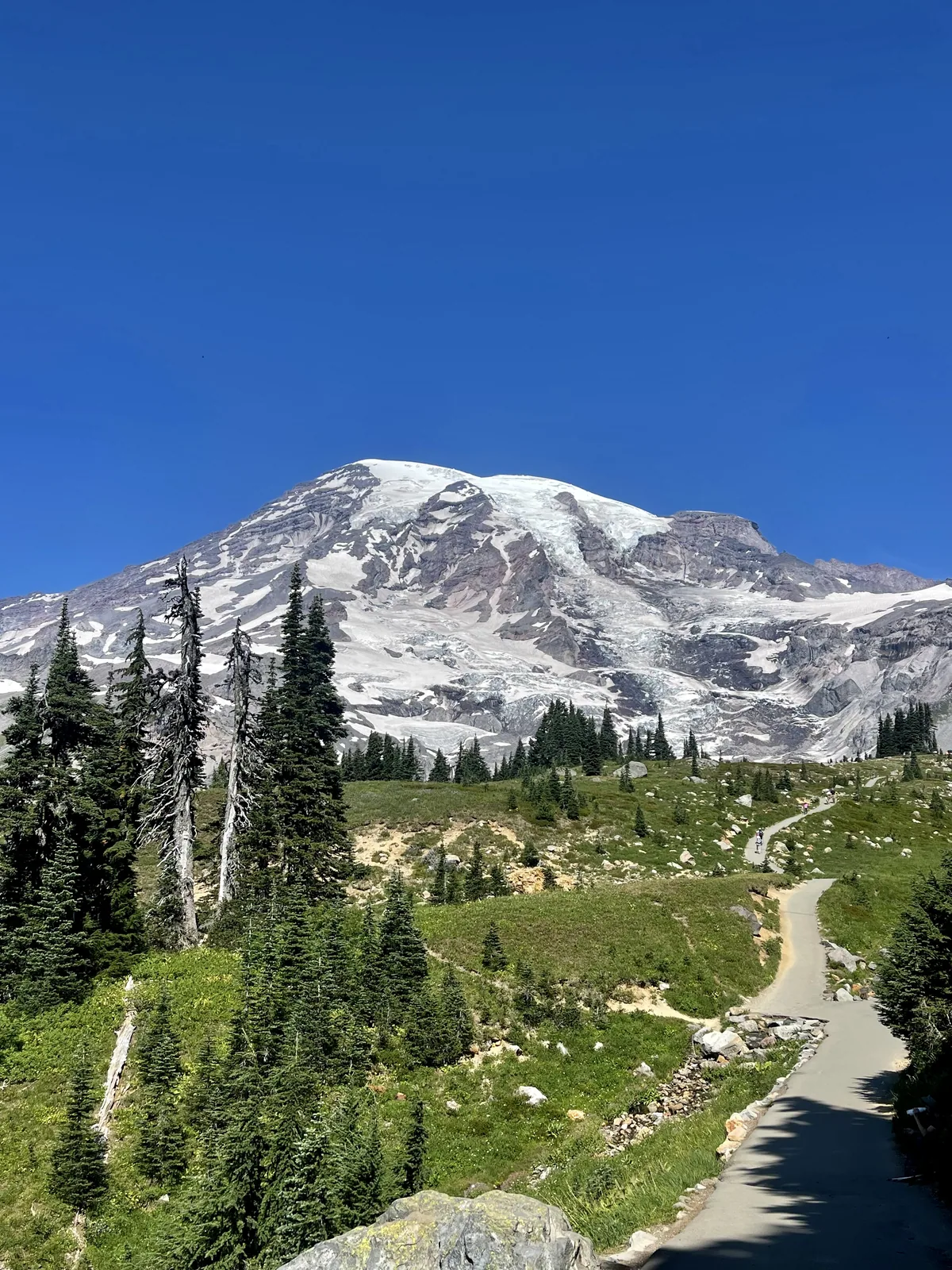
Snow-covered Mount Rainier rises above a paved trail through a green subalpine meadow
The trail curves through the meadow toward Mount Rainier. · Aug 30, 2022
See all 24 photos and videos
When we went
August–September 2022

Photos by David & Keri New.

Firsthand · David & Keri New

What we’d tell a friend about Mount Rainier

The mountain is so big it makes its own weather, and on a clear day it fills the sky. We had a perfect day at Paradise and saw a mountain goat. Sunrise, on the other side of the mountain, feels like a whole different park. We stayed at a private campground on the west side of the park. It was really, really nice — it felt like we were in a rainforest almost. Our favorite hike was for sunset: we went to the fire tower lookout point and hiked back at sunset, which is where some of our photos are from. It was an amazing sunset, and the moon was so bright you could still see very clearly even when the sun was all the way down. We saw a really strange mountain goat on the way back as well.

  • Aug 30, 2022 · Tent · about 3 nights
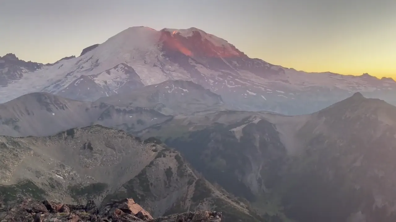
Snow-covered Mount Rainier glows in evening light above forested ridges
Rainier at golden hour · our video
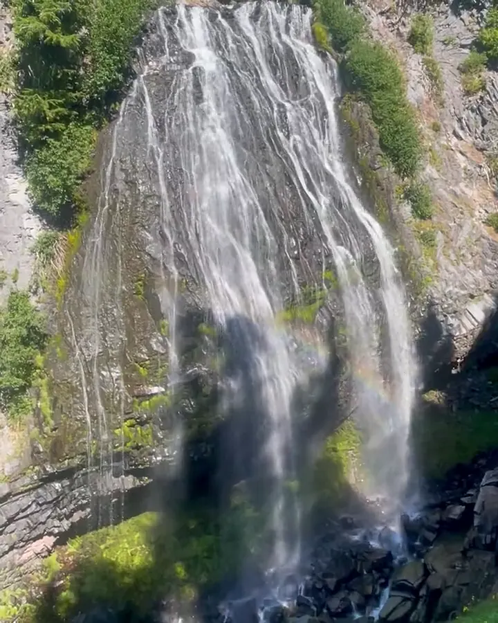
A wide waterfall pours down a mossy cliff with a faint rainbow in the spray
A waterfall with a rainbow · our video
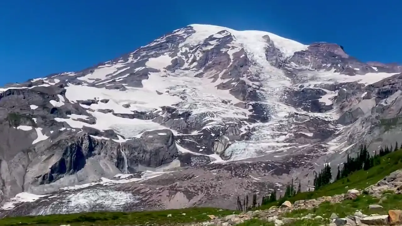
Blue-tinted glacier ice and a thin waterfall hang on the rocky face of Mount Rainier
Rainier’s glacier and icefall · our video
See all 24 photos and videos

Our favorite hike

the fire tower lookout point

Our favorite hike was for sunset. We went to the fire tower lookout point and hiked back at sunset, which is where some of our photos are from. It was an amazing sunset, and the moon was so bright you could still see very clearly even when the sun was all the way down. We saw a really strange mountain goat on the way back as well.

Also: Skyline Trail. We hiked Skyline Trail during the day, and it was somewhat challenging. You could see the waterfalls coming off the mountains, and wildlife was everywhere.
Our one tip

The Paradise parking lot fills fast on summer days, so be there early. Find out ahead of time whether timed-entry reservations are in effect.

What we’d do differently

We were a few weeks late for peak wildflowers. Early August is the time to come for the meadows.

With one more day

We’d hike Burroughs Mountain from Sunrise, where you’re up on the tundra almost face to face with the glaciers.

Was it a good time to go?

Late August was great, with the snow mostly gone, the meadows still green, and the week before Labor Day a bit calmer than midsummer. At Paradise the skies were bright and clear and the mountain was fully out. By the end of the trip it was a little hazy at sunset, which is common in late summer.

In town

Copper Creek Inn in Ashford is the place for blackberry pie. The Mount Rainier Gondola at Crystal Mountain is a fun detour near the Sunrise side.

Where we stayed

a private campground on the west side of the park

Aug 30, 2022 · Tent · about 3 nights

David 7/10Keri 6/10

We actually stayed at a private campground on the west side of the park. It was really, really nice. It felt like we were in a rainforest almost.

Entry and best time to visit

Entry

No entry reservation required

You still need an entrance pass: $30 per vehicle, good for 7 days.

Fees and permits

Best time

July, August

Paradise under snow November-June (~640 in/yr). July-August best for flowers and dry weather. September sweet spot. Sunrise road ~early July-late September.

Month by month

Live conditions and planning tools →

What’s different now

Official update, not firsthand

Mount Rainier does not require timed-entry reservations in 2026. Last verified · nps.gov

Itineraries

How many days in Mount Rainier?

  • 1 day

    1. Day 1 Paradise and the Skyline Trail
    Full 1-day plan
  • 2 days

    1. Day 1 Paradise and the Skyline Trail
    2. Day 2 Longmire forest and historic district
    Full 2-day plan
  • 3 daysOur pick

    1. Day 1 Paradise and the Skyline Trail
    2. Day 2 Longmire forest and historic district
    3. Day 3 Glacier views from Sunrise
    Full 3-day plan
  • 5 days

    1. Day 1 Paradise and the Skyline Trail
    2. Day 2 Longmire forest and historic district
    3. Day 3 Bench and Snow Lakes
    4. Day 4 Silver Falls in the Ohanapecosh valley
    5. Day 5 Glacier views from Sunrise
    Full 5-day plan

Mount Rainier itinerary: every day stop by stop, with sources

Compare the 1-, 2-, 3- and 5-day plans, day by day →

Map

Where things are in Mount Rainier

8 visitor centers and 5 of the 6 campgrounds on a map you can zoom and drag. Map data loads from OpenStreetMap when you tap.

Mount Rainier’s park roads and entrances: schematic, not to scale AshfordNisquallyLongmireParadiseReflection LakesBox CanyonOhanapecoshPackwoodTipsoo LakeWhite RiverSunriseEnumclawWilkesonCarbon RiverMowich Lake
Unpaved Schematic, not to scale

8 visitor centers

Locations from the NPS visitor-center listing, checked Nov 13, 2026. Hours and what each one has

5 of 6 campgrounds mapped

Locations from Recreation.gov, checked Nov 7, 2026. Not on this map: Mowich Lake (no Recreation.gov location in our data). Compare all 6 campgrounds

Official NPS maps for Mount Rainier (opens in a new tab) ↗

Trails

11 hikes, shortest first

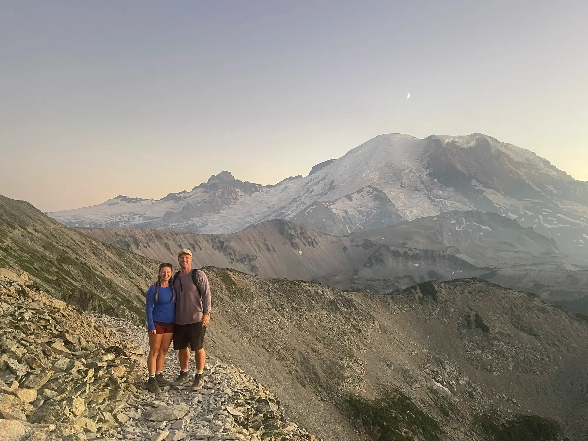
Two hikers on a rocky ridge trail at dusk, snow-covered Mount Rainier behind them
Two hikers on a rocky ridge trail at dusk, snow-covered Mount Rainier behind them · Sep 2022
  1. Myrtle Falls1 mi round trip · 100 ft gain · Easy, paved

    1 mi

    Details for Myrtle Falls

    Wheelchair accessible with assistance, from the upper Paradise lot.

    Out and back · About 35 minutes
    Start: North side of the upper Paradise parking lot, beside the visitor center.

    Last verified · nps.gov
  2. Nisqually Vista1.2 mi loop · 200 ft gain · Easy, fully paved

    1.2 mi

    Details for Nisqually Vista

    Glacier views from the lower Paradise lot. Stroller friendly.

    Lollipop loop · About 45-60 minutes
    Start: Stairs at the west end of the lower Paradise parking lot.

    Last verified · nps.gov
  3. Pinnacle Peak saddle2.5 mi round trip · 1,050 ft gain · Steep, with drop-offs

    2.5 mi

    Details for Pinnacle Peak saddle

    From Reflection Lakes on Stevens Canyon Road, climbs to a 5,920-ft saddle. Often has hazardous snow slopes early in the season.

    Out and back · About 2 hours
    Start: South side of Stevens Canyon Road, across from Reflection Lakes parking.

    Last verified · nps.gov
  4. Bench & Snow Lakes2.5 mi round trip · 700 ft gain · Rolling ups and downs

    2.5 mi

    Details for Bench & Snow Lakes

    Stevens Canyon Road, 1.5 mi east of Reflection Lakes. The lakes often don’t melt out until late July.

    Out and back · About 2 hours
    Start: South side of Stevens Canyon Road, 1.5 miles east of Reflection Lakes parking.

    Last verified · nps.gov
  5. Silver Falls2.7 mi (normal loop) · 600 ft gain · Moderately strenuous

    2.7 mi

    Details for Silver Falls

    Ohanapecosh is closed through the construction project, so there’s no loop. Hike either side of the river as an out-and-back from the Grove of the Patriarchs lot via the Eastside Trail, or from the Cowlitz Divide Trailhead on Stevens Canyon Road (closed for the season since Oct 26, 2026).

    Out and back · About 45 minutes
    Start: 2026: Grove of the Patriarchs parking lot; use the Eastside Trail. Campground trailheads and the loop are closed.

    Last verified · nps.gov
  6. Naches Peak Loop3.5 mi loop · 500 ft gain · Easy

    3.5 mi

    Details for Naches Peak Loop

    At Tipsoo Lake/Chinook Pass (SR 410, summer only). Leashed dogs are allowed on the Pacific Crest Trail half only.

    Loop · About 2 hours
    Start: Tipsoo Lake parking, 0.5 mile west of Chinook Pass on SR 410.

    Last verified · nps.gov
  7. Rampart Ridge loop4.6 mi loop · 1,339 ft gain · Moderate

    4.6 mi

    Details for Rampart Ridge loop

    From Longmire. Go clockwise to keep the mountain in front of you.

    Loop · About 2.5 hours
    Start: West end of Trail of the Shadows, across the road from the National Park Inn at Longmire.

    Last verified · nps.gov
  8. Skyline Trail loop5.5 mi loop · 1,700 ft gain · Steep in places, about 4.5 hrs

    5.5 mi

    Details for Skyline Trail loop

    From the Jackson Visitor Center steps at Paradise to Panorama Point. Use the High Skyline Trail past Panorama Point to avoid an icy slope that doesn’t melt.

    Loop · About 4.5 hours
    Start: Paradise Meadows and Skyline Trailhead, at the Jackson Visitor Center stone steps.

    Last verified · nps.gov
  9. Crystal Lakes6 mi round trip · 2,300 ft gain · About 3 hrs round trip

    6 mi

    Details for Crystal Lakes

    On SR 410, about 4 mi north of Cayuse Pass.

    Out and back · About 3 hours
    Start: East side of SR 410 near Crystal Creek, approximately 4 miles north of Cayuse Pass.

    Last verified · nps.gov
  10. Eagle Peak saddle7.2 mi round trip · 2,955 ft gain · About 5 hrs round trip

    7.2 mi

    Details for Eagle Peak saddle

    From Longmire.

    Out and back · About 5 hours
    Start: Longmire: cross the suspension bridge through employee housing; trailhead is 300 feet beyond. Bridge vehicle weight limit: 3 tons.

    Last verified · nps.gov
  11. Shriner Peak Lookout8 mi round trip · 3,434 ft gain · Strenuous, steep and shadeless

    8 mi

    Details for Shriner Peak Lookout

    On SR 123, 3.5 mi north of the Stevens Canyon Entrance. Carry water and start early.

    Out and back · About 5 hours
    Start: SR 123, 3.5 miles north of Stevens Canyon Entrance and 0.5 mile north of Panther Creek Bridge.

    Last verified · nps.gov

Distances, gains and difficulty as NPS publishes them; the bar shows the published distance, dashed where a longer option exists.

Camping

4 campgrounds in Mount Rainier

Open in season
4
A night
$10–$20
Sites
459
With hookups
0
  • Cougar RockSee dates · $20 a night · RVs to 35 ft at a few sites, trailers to 27 ft
  • White RiverSee dates · $10–$20 a night · RVs to 27 ft, trailers to 18 ft
  • OhanapecoshSee dates · $10–$20 a night · RVs to 32 ft, trailers to 27 ft
  • Mowich LakeSee dates

Camping in and near Mount Rainier: all 4 campgrounds, every site, nearby campgrounds and open sites for your dates

Fees, permits & rules

Mount Rainier entrance fee: $30 per vehicle, plus permits and when to book

Last verified · nps.gov All Mount Rainier fees, permits and booking deadlines →

Rules and changes for 2026

  1. Wildfires closed Sunrise

    The Grand Park 2 Fire and the Wonderland Complex Fires (West Fork, Garda Falls and Pigeon) are still active and expected to burn until extinguished naturally (NPS, Oct 19, 2026). Sunrise and White River roads are closed for the winter, all Grand Park area trails are closed, and the Wonderland Trail and Northern Loop are closed from the Carbon River Suspension Bridge to White River Campground. No full Wonderland Trail circuit permits are being issued until further notice. Still in place as of Nov 1, 2026.

    Last verified · Current conditions (NPS, Oct 19 2026; checked Nov 1 2026)
  2. Ohanapecosh closed all of 2026

    The whole Ohanapecosh developed area (campground, visitor center, picnic area, river access and trailheads) is closed for a $24.1M rebuild of 185 campsites. Work is expected to continue through February 2027, with no vehicle or pedestrian access. The campground is expected to reopen for summer 2027, and 2027 reservations are expected to open on Recreation.gov in December 2026; no exact date announced yet (NPS, checked Nov 2026).

    Last verified · Park construction (NPS, Oct 19 2026) and construction FAQ
  3. Carbon River & Mowich Lake: no access

    The SR 165 Fairfax Bridge outside the park is closed to vehicles, bikes and pedestrians, with no alternate route. The Carbon River Ranger Station is closed and the Mowich Lake walk-in sites can only be reached from the Wonderland Trail.

    Last verified · Road status (NPS)
3 more rules and changes
  1. Grove of the Patriarchs closed

    The suspension bridge, the only access, was damaged in 2021 floods, and the Grove stays closed to all entry. Prep work began in October 2026. The NPS park construction page says construction will occur in the 2027-2028 seasons, with spring 2027 schedules still being determined; the NPS conditions page says construction begins in 2028. Confirm with the park. The Grove parking lot reopened in late October 2026 for Silver Falls and Eastside Trail access, but Stevens Canyon Road closed for the season on Oct 26, 2026.

    Last verified · Park construction (NPS, Oct 19 2026)
  2. Summerland trailhead closed

    The Summerland trailhead is closed through 2029 for Fryingpan Creek Bridge work. Pedestrians aren’t allowed on White River Road through the closure zone.

    Last verified · Road status (NPS)
  3. Winter rules start now

    Nightly closures of the Longmire-to-Paradise gate began 10/29/2026. Typical schedule: opens 9 am, uphill gate closes 3 pm, downhill gate closes 4 pm. Plan to leave Paradise by 3:30 pm. All vehicles, including 4WD, must carry chains Nov 1-May 1.

    Last verified · Road status (NPS, Oct 29 2026)

Crowds by month

Historical recreation visits · 2021–2025 · as of Nov 3, 2026. Visits count entries, not unique people, parking spaces or trail crowding.

Average monthly recreation visits, 2021–2025
Jan26,038
Feb16,368
Mar23,760
Apr31,480
May85,473
Jun224,875
Jul420,918
Aug398,276
Sep234,962
Oct134,477
Nov28,388
Dec19,405

Busiest by average count: Jul. Quietest: Feb. Each bar is that month’s average visits across 5 years; unusual years and reported zeros are included. Past visits can’t tell you the best time of day to arrive.

Every month’s visits and NOAA weather, with the counts for each year →

NPS Visitor Use Statistics: monthly report · NPS monthly data · checked Nov 3, 2026; latest included year 2025.

How this page is made. The section “What we’d tell a friend” is ours. Our recorded visits to Mount Rainier include August 2022 and September 2022.Planning information, including any fees, permits, closures, weather and crowd figures shown here, is compiled from the National Park Service, Recreation.gov and other public sources, and each fact shows the date we last checked it. If something is wrong, tell us and we’ll log the fix on our corrections page.

Sources & corrections

The core guide research was last verified Nov 20, 2026 against the linked National Park Service and Recreation.gov pages. Live conditions and separately sourced facts show their own dates. Park rules change; confirm before you go.

Report a correction · Corrections log

Photos: David & Keri New.

Where sources disagree (8)
  • Grove of the Patriarchs bridge replacement: the NPS park construction page (Oct 19, 2026) says construction will occur in the 2027-2028 seasons. The NPS conditions page (Oct 19, 2026) says it begins in 2028, and Recreation.gov still says summer 2027. Confirm with the park.
  • Cougar Rock site count: the NPS campground table (Oct 13, 2026) says 178 sites, which this guide uses. Recreation.gov lists 176 sites and its description says 173.
  • Grove of the Patriarchs parking lot: the NPS trail conditions page (Oct 16, 2026) says it closed Oct 5. The newer NPS park construction page (Oct 19, 2026) says it reopened, which this guide uses.
  • Naches Peak Loop: the NPS trail page says 3.5 mi. The NPS things-to-do page says 3.4 mi.
  • Total trail miles: different NPS pages say 260+, 270+ or 275+.
  • Official climbing and wilderness pages give conflicting September self-registration dates. Confirm with the park.
  • Older climbing allocation figures differ from current booking guidance. Approximately one third of wilderness and climbing permits are issued at ranger stations; September registration remains unclear. Confirm with the park.
  • Wilderness reservations: the NPS wilderness permit page says camps can be reserved for dates between June 1 and October 10. Recreation.gov says from the end of May (May 1 for climbing camps) to the first federal holiday in October.