Our favorite hike
Grand Promenade
It’s an easy brick walkway right behind Bathhouse Row. In one short stroll you get the hot springs, the old bathhouses and the town, which is what makes this park different.

Arkansas
An urban national park wrapped around the north end of the city of Hot Springs. Its historic Bathhouse Row sits on thermal water that NPS says is nearly 4,400 years old, and 26 miles of trails climb the mountains behind it.
By David & Keri New, who have visited 63 of the 64 U.S. national parksUpdated
17Park 17 of our 63Visited Feb 2021
Saves this park and its trail guides on this device. Alerts and conditions are as of when you save; live maps and bookings need a connection.
1 day is our starting point.
Follow our one-day plan: the Fordyce Bathhouse Visitor Center, the Grand Promenade, then a booked bath in the afternoon. Soaking in the thermal water is offered only at the Buckstaff and Quapaw bathhouses.
With a few hours, tour the Fordyce Bathhouse Visitor Center and walk the Grand Promenade behind Bathhouse Row.
Drive Hot Springs Mountain Drive from the end of Fountain Street to the Pagoda overlook and the Mountain Tower. The tower is run by a concessioner that sets its own seasonal hours.
If your bath is full or the bathhouse is closed, try the other bathhouse, then switch to our history-and-trails backup. There is no outdoor soaking in the park.
National Park Service guidanceNational Park Service guidanceOpen the backup itinerary
Hot Springs, AR
Stay downtown to walk to Bathhouse Row. Inside the park, Hotel Hale on Bathhouse Row and Gulpha Gorge Campground are the overnight options.
Book your bath first. Contact the Buckstaff or Quapaw directly, since each sets its own hours and services. Every Gulpha Gorge campsite needs a Recreation.gov reservation.
National Park Service guidanceNPS operating dates and hoursNational Park Service guidance
Bathhouse Row is in downtown Hot Springs. Use city parking, such as the Exchange Street garage one block west of the visitor center; most downtown street parking is metered. David and Keri found Bathhouse Row and the trails mostly quiet on a mid-February weekend.
National Park Service guidanceNational Park Service guidanceDavid & Keri’s trip notes
Our visit
February 2021
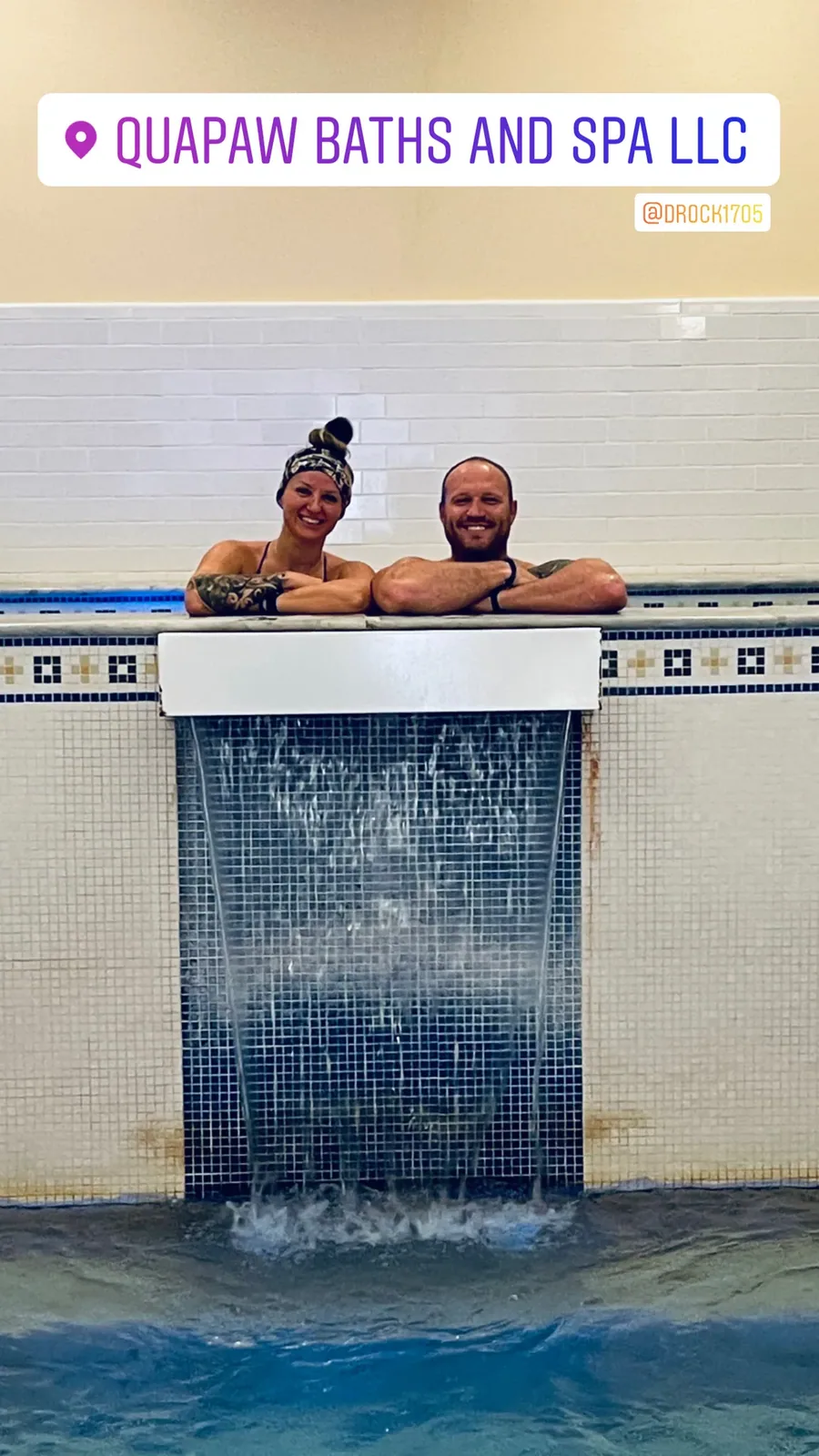
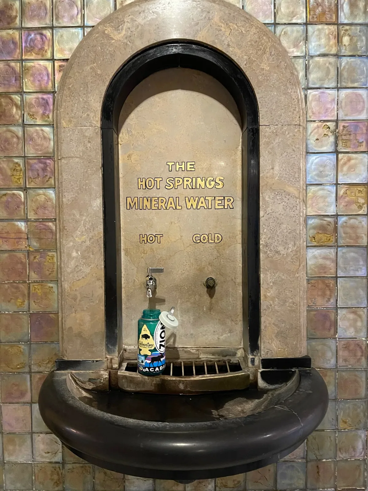
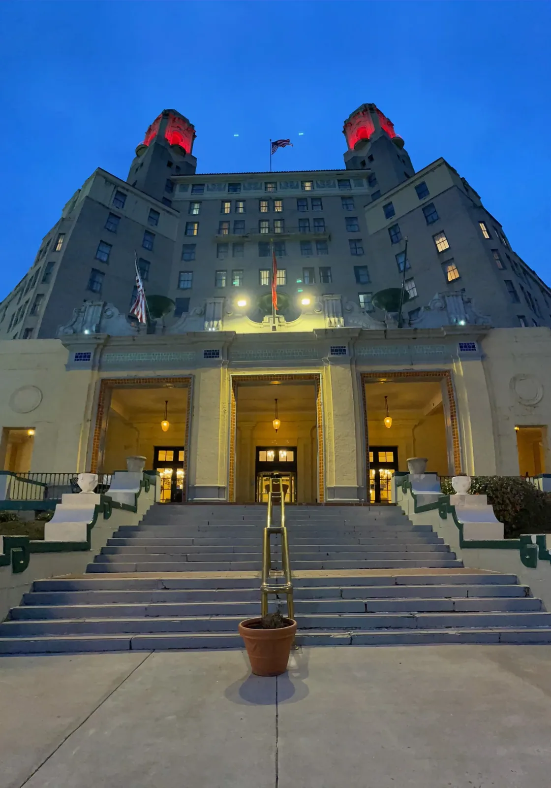
Why it’s on our list
Hot Springs is an unusual national park centered around historic bathhouses and naturally heated mineral water. Bathhouse Row offers interesting architecture and a fascinating glimpse into the area’s history as a popular spa destination. While it’s certainly worth visiting, the experience feels more like exploring a historic downtown than venturing into the spectacular natural wilderness that makes our favorite national parks so special.
Our favorite moment
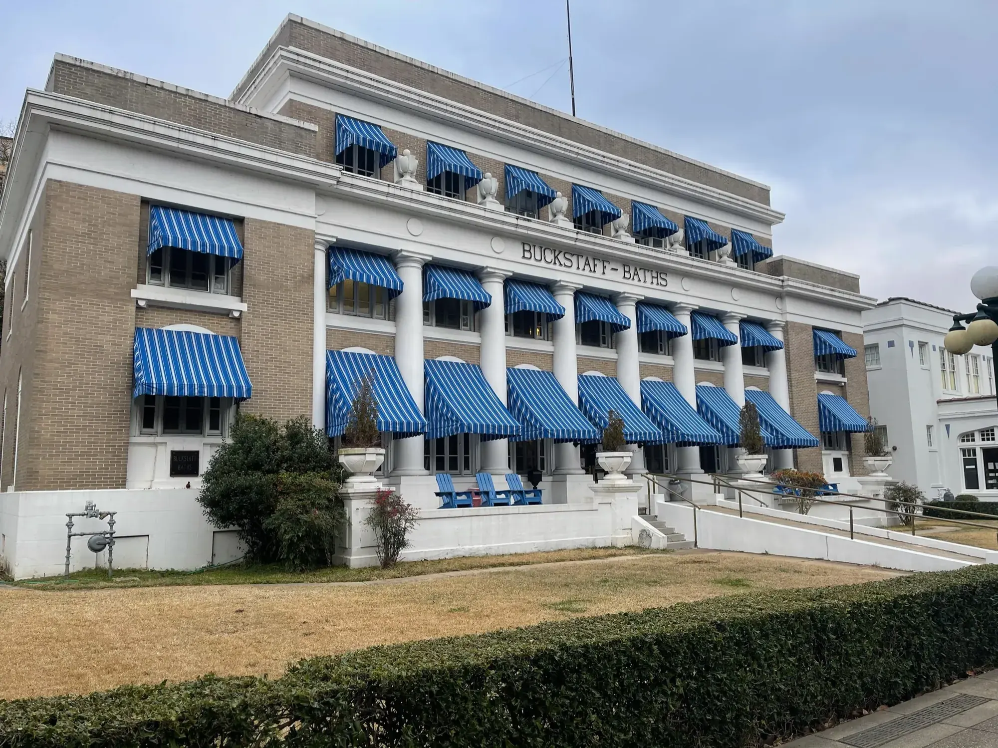
Walking along historic Bathhouse Row, touring the Fordyce Bathhouse, and enjoying the views from Hot Springs Mountain. The downtown area was super cool too.
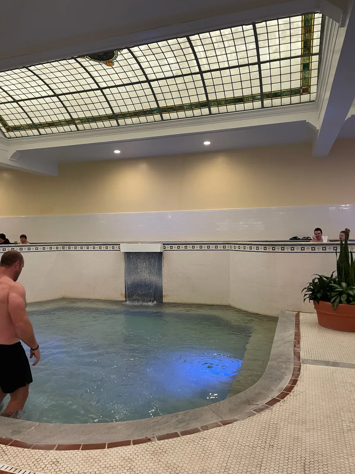
Photos by David & Keri New.
Firsthand · David & Keri New
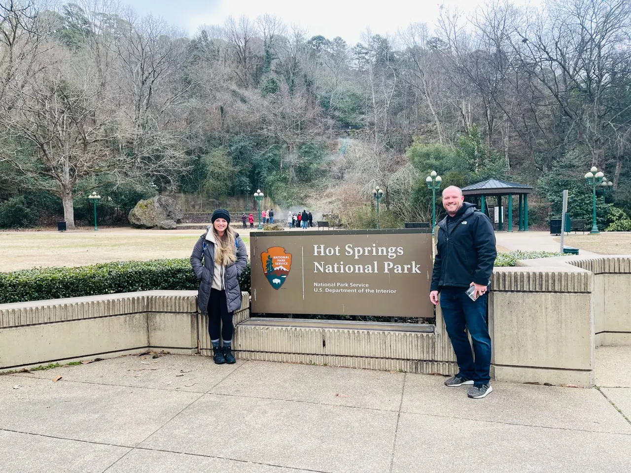
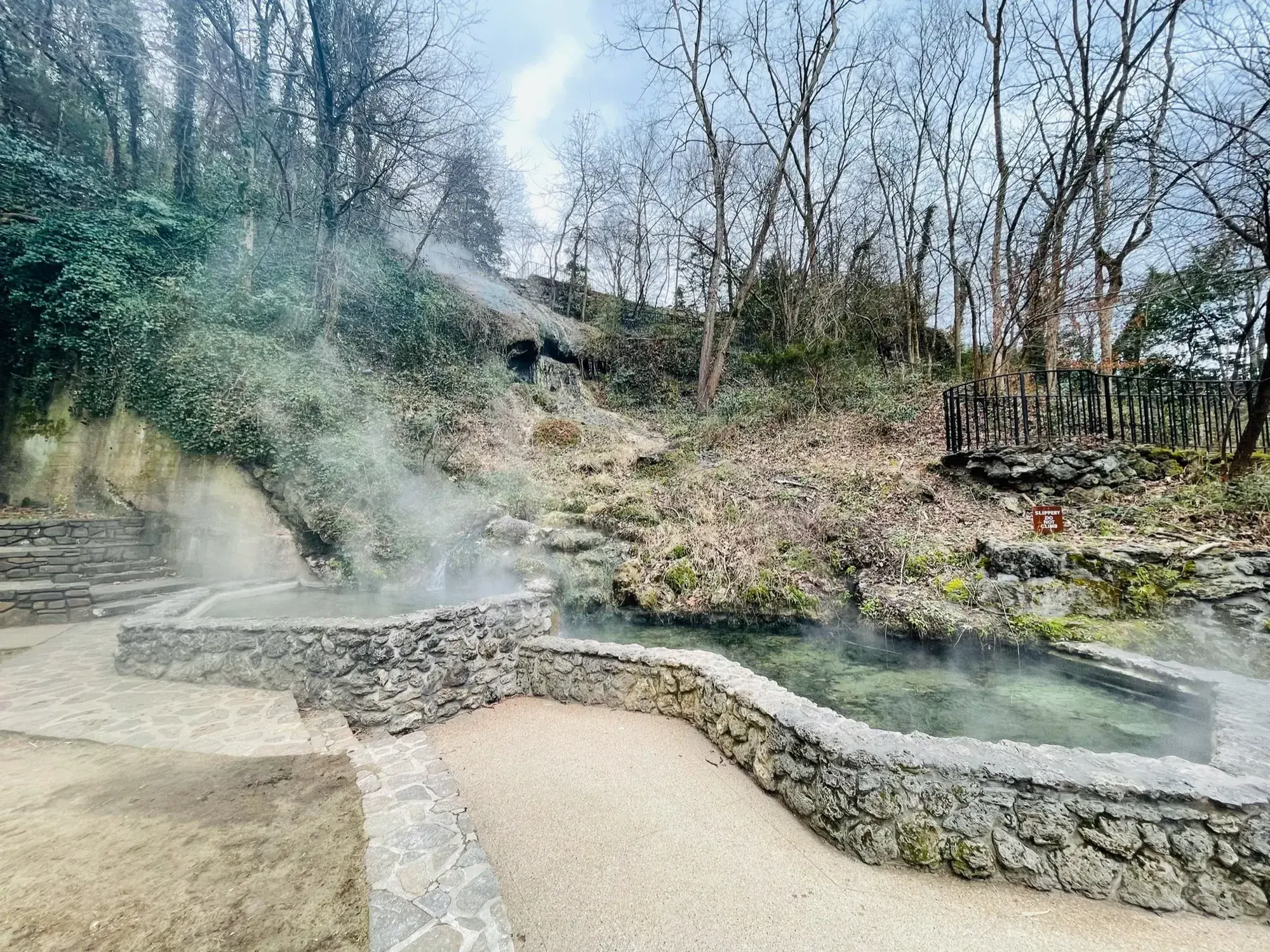
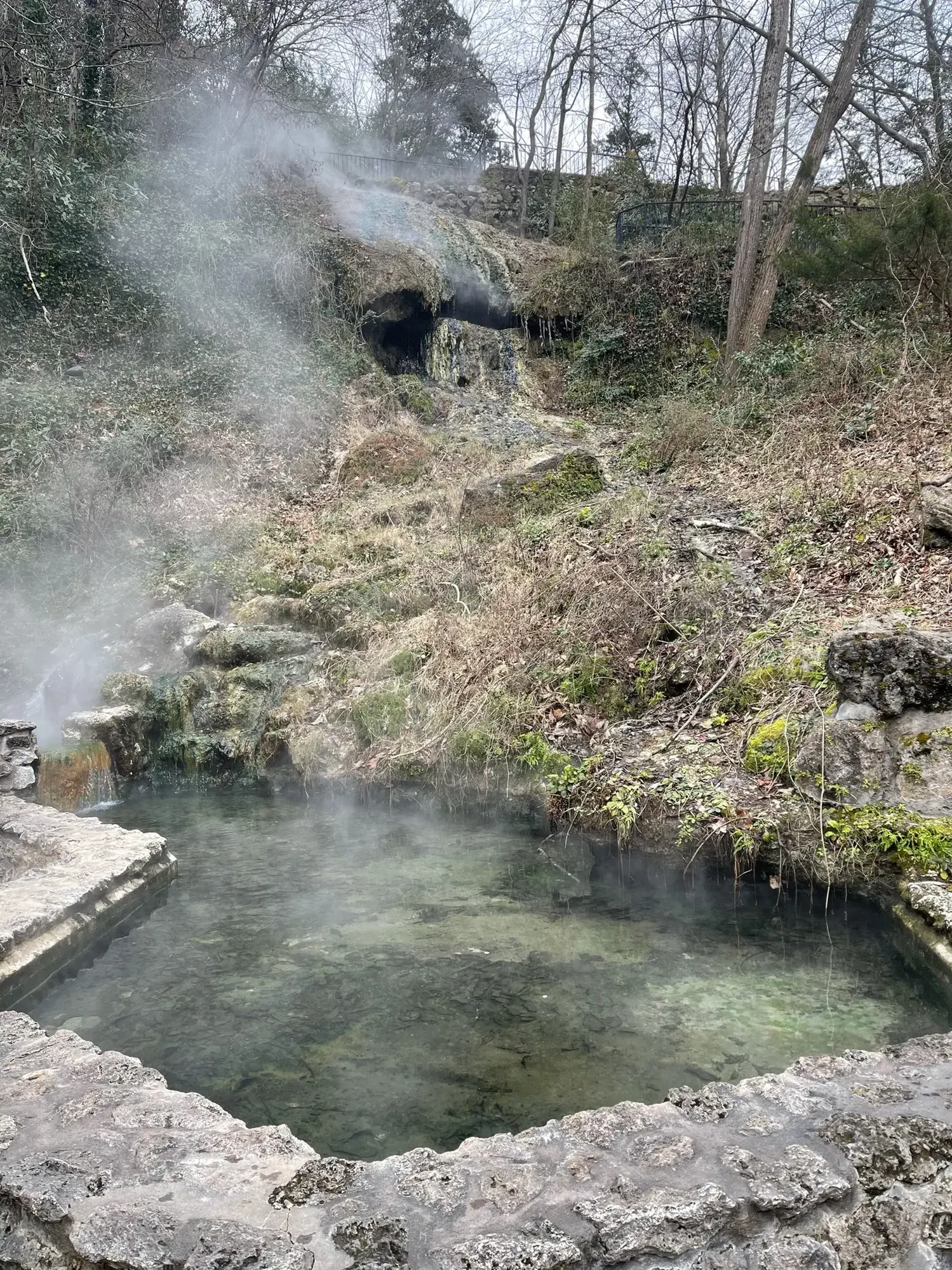
Hot Springs is a national park right in the middle of a town, built around steaming springs and a row of grand old bathhouses. It’s more history than wilderness. We toured the Fordyce, walked Bathhouse Row with steam coming off the hillside and explored downtown, and we had a lot of fun.
Grand Promenade
It’s an easy brick walkway right behind Bathhouse Row. In one short stroll you get the hot springs, the old bathhouses and the town, which is what makes this park different.
Start at the Fordyce Bathhouse, which is the park’s visitor center, then walk the rest of the row. If you want a real soak, the Buckstaff and the Quapaw are the bathhouses that still offer baths.
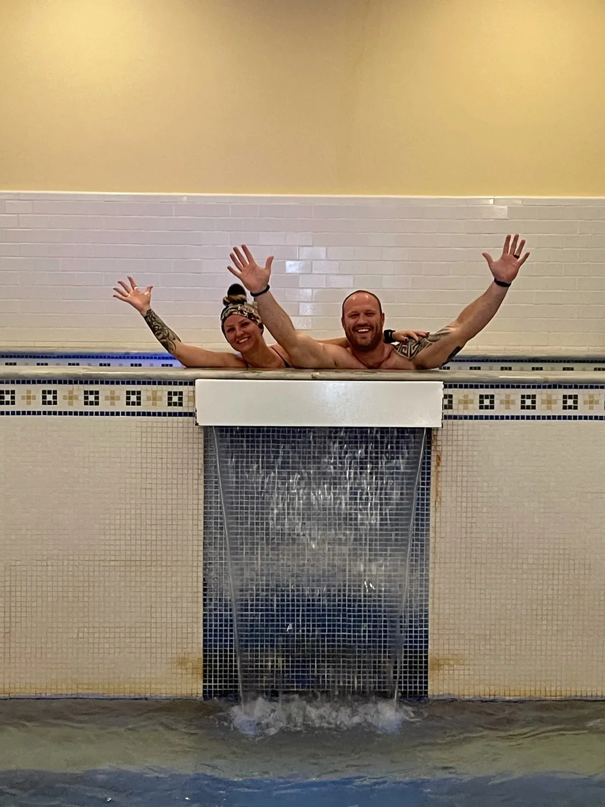
We should have worked a soak at one of the working bathhouses into our day. We’d also pick spring or fall, when the trees on the mountain have leaves.
You don’t need one. Bathhouse Row, the Grand Promenade and the drive up Hot Springs Mountain all fit into a single day without rushing.
We went in mid-February, the weekend before Presidents’ Day, and it was quiet. We had Bathhouse Row and the trails mostly to ourselves. It was gray, overcast and cold, but the steam coming off the springs looked even better in the chill.
Superior Bathhouse Brewery sits right on Bathhouse Row, and McClard’s Bar-B-Q has been a Hot Springs favorite for decades. Central Avenue downtown is a fun walk too.
Best time
April, October
Year-round urban park, no fee or timed entry. April and October best. July-August hot, humid, busy. September-December quietest per NPS counts.
Month by monthAll 40 Gulpha Gorge sites have full hookups. Reservations are required. Most national park campgrounds do not have full hookups. Last verified · nps.gov
Itineraries
1 dayOur pick
Compare the 1-day plans, day by day →
Map
1 visitor center and 1 campground on a map you can zoom and drag. Map data loads from OpenStreetMap when you tap.
Visitor centerCampground Roads and trails are community-mapped; check closures with the park.
Locations from the NPS visitor-center listing, checked Nov 13, 2026. Hours and what each one has
Locations from Recreation.gov, checked Nov 7, 2026. Compare the campgrounds
Trails
0.3 mi
Its lower end is near the Hot Water Cascade.
About 15-30 minutes
Start: Access from the Grand Promenade or Arlington Lawn near the Hot Water Cascade.
0.5 mi
National Recreation Trail behind Bathhouse Row, with ramps off Fountain Street and behind the Fordyce. Benches; water isn’t easy to find.
One way (point to point) · About 30-60 minutes
Start: Enter from Fountain Street’s ramp, Reserve Street’s stairs, or behind Fordyce Bathhouse.
0.6 mi
Paved, then gravel, up to the Hot Springs Mountain Tower.
Out and back · About 40 minutes round trip
Start: From Fordyce, climb stairs behind Shell Fountain; turn left on the Grand Promenade, then right at the trailhead.
0.7 mi
Downtown access to the West Mountain trails, starting behind the Mountain Valley Water building.
About 25-45 minutes
Start: Downtown, behind the Mountain Valley Water building.
1.2 mi
Loops around Whittington Park, with benches; parking on Whittington Avenue.
Loop · About 20-45 minutes
Start: Whittington Park.
1.4 mi
Starts above Stephen’s Balustrade behind the Fordyce; the park brochure still labels it Dead Chief Trail.
About 30-60 minutes
Start: Climb Stephen’s Balustrade behind Fordyce and two more stairways; follow the gravel road right to the iron gate.
2.6 mi
Between Blacksnake Road and Cedar Glades Road, past the Balanced Rock overlook. Follow orange blazes; false spurs lead onto private land. Elevation map: https://www.nps.gov/hosp/planyourvisit/images/Sunset-Trail-Map-Web-Resized.jpg
One way (point to point)
Start: Parking at Blacksnake Road and Cedar Glades Road; Balanced Rock is reached by a 0.2-mile spur.
9.2–17 mi
NPS lists West Mountain (2.8 mi), Sugarloaf Mountain (2.6 mi) and Stonebridge Road (3.8 mi, ending at Gulpha Gorge Campground), totaling 9.2 mi. The same page rounds the whole trail to about 10 mi; confirm route distance with the park before hiking.
One way (point to point) · About 6-9 hours
Start: West Mountain Summit or Gulpha Gorge Campground; parking is available at both ends.
Distances, gains and difficulty as NPS publishes them; the bar shows the published distance, dashed where a longer option exists.
Camping
Fees, permits & rules
Last verified · nps.gov All Hot Springs fees, permits and booking deadlines →
NPS requires advance Recreation.gov reservations at $34 a night before occupancy. Confirm the campsite total with the park. Accessible sites open a week ahead; call 501-620-6715 to reserve earlier. Limits: 14 consecutive days, 30 days per calendar year, and a 7-day break after each 14-day stay.
Last verified · Gulpha Gorge Campground (NPS)NPS lists a 30 ft vehicle length limit for the winding scenic drives (Hot Springs Mountain Drive and West Mountain Drive).
Last verified · Getting Around (NPS)Since 2025 the city of Hot Springs charges for parking on major streets and in garages. The city garage is at 128 Exchange Street, a block west of the visitor center; some side streets are free.
Last verified · Getting Around (NPS)Maurice Bathhouse remains closed for renovations on the NPS hours page (updated May 22, 2026; checked Nov 1, 2026). The hours and conditions pages give no reopening date. Check park alerts before visiting: https://www.nps.gov/hosp/planyourvisit/conditions.htm
Last verified · Hours (NPS)Email me this guide Get a link to the Hot Springs guide in your inbox, to open again when you plan or before you go.
One email with the link. We don’t add you to any list unless you tick the box.
Historical recreation visits · 2021–2025 · as of Nov 3, 2026. Visits count entries, not unique people, parking spaces or trail crowding.
Busiest by average count: Jun. Quietest: Sep. Each bar is that month’s average visits across 5 years; unusual years and reported zeros are included. Past visits can’t tell you the best time of day to arrive.
Every month’s visits and NOAA weather, with the counts for each year →
NPS Visitor Use Statistics: monthly report · NPS monthly data · checked Nov 3, 2026; latest included year 2025.
Plan your visit
For any park: passes and free entrance days · what to pack · visiting with kids · stargazing
Getting there and park logistics →
Find a place to stay near Hot Springs → See camping and backup options for this park.
How this page is made. The section “What we’d tell a friend” is ours. Our recorded visits to Hot Springs include February 2021.Planning information, including any fees, permits, closures, weather and crowd figures shown here, is compiled from the National Park Service, Recreation.gov and other public sources, and each fact shows the date we last checked it. If something is wrong, tell us and we’ll log the fix on our corrections page.