Our favorite hike
Pīpīwai Trail
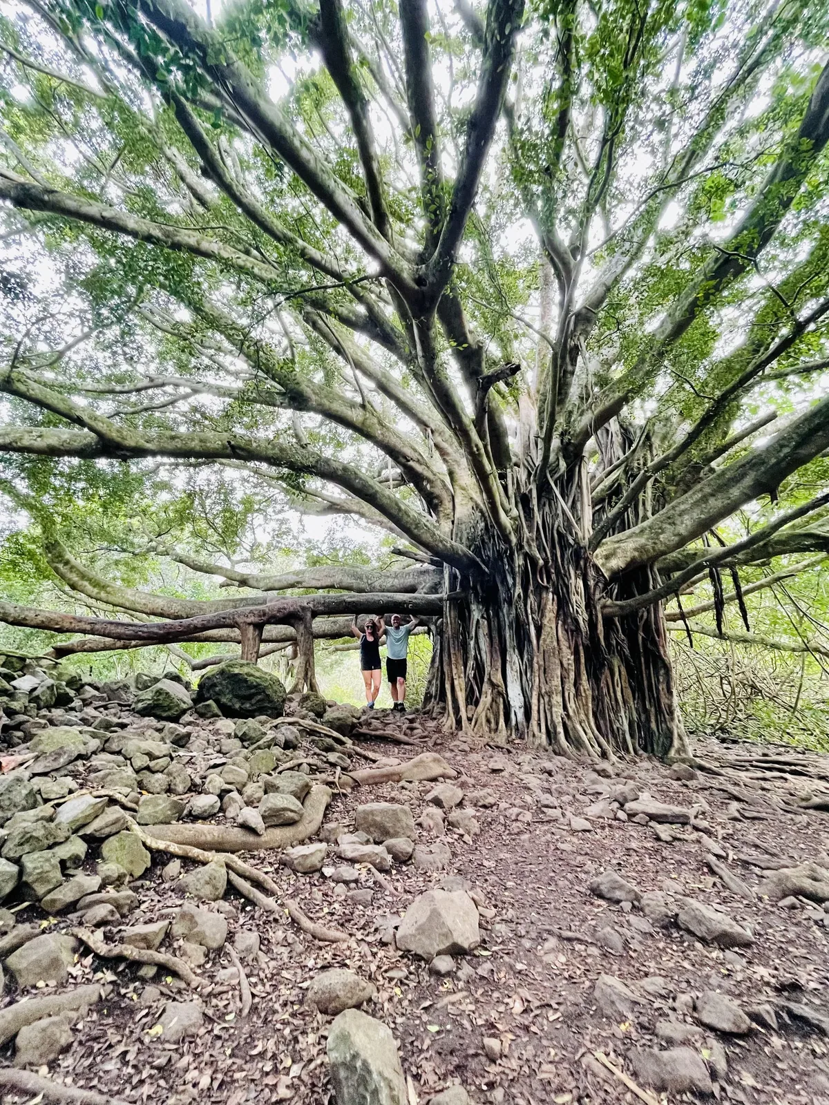
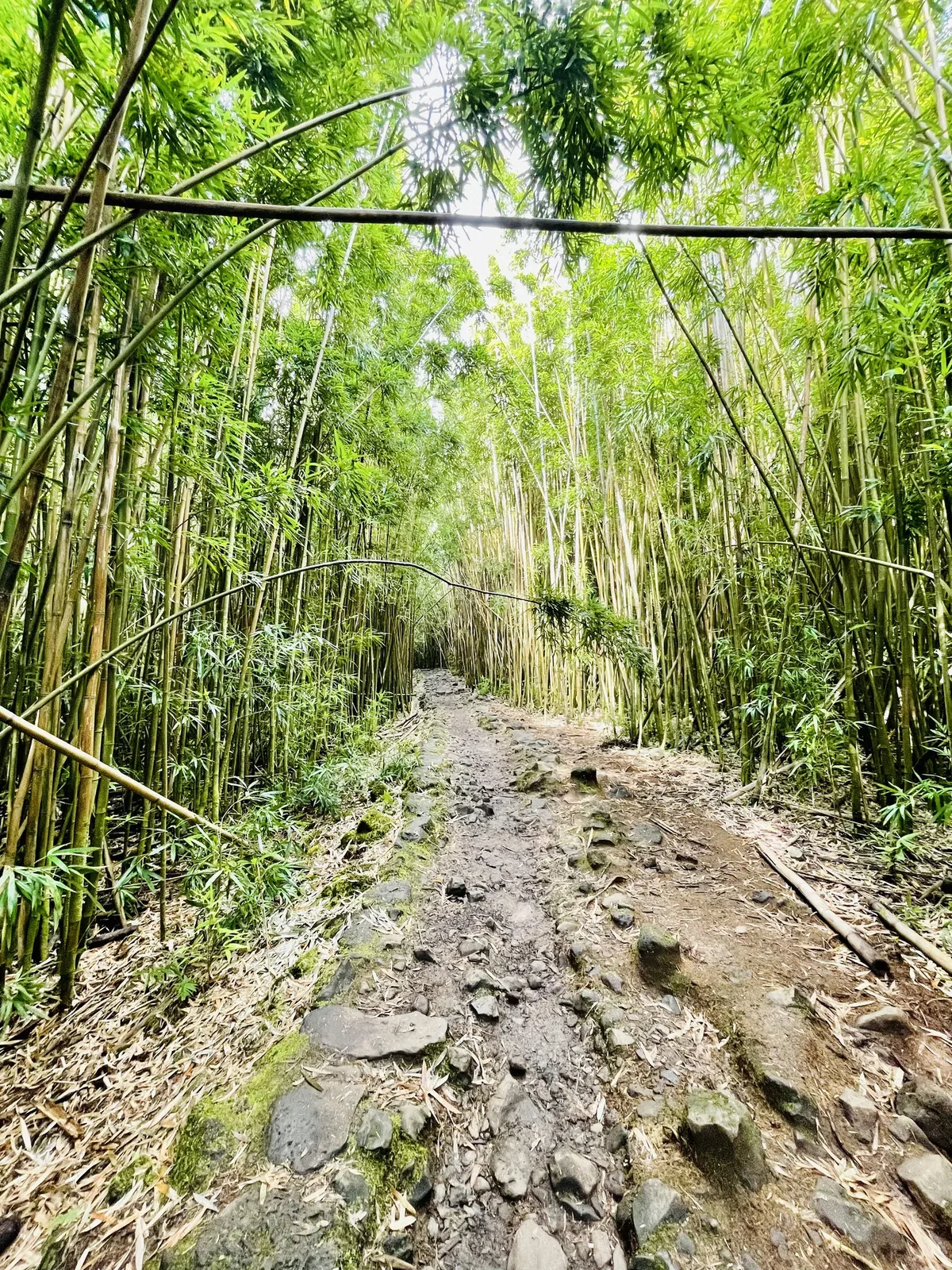
It climbs from the Kīpahulu coast past a huge banyan tree, through a bamboo forest that creaks in the wind, and ends at the base of 400-foot Waimoku Falls. It felt nothing like the summit.
Hawaii
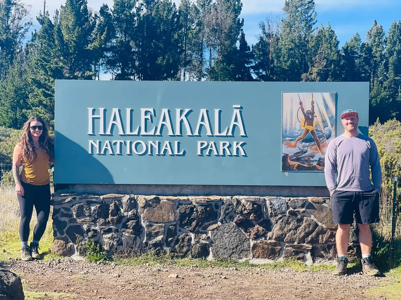
Two parks in one on Maui. The Summit District climbs to the 10,023-ft summit of Haleakalā, with a vast cinder-cone crater, silverswords and a famous sunrise. The coastal Kīpahulu District, past Hāna, has waterfalls, a bamboo forest and ʻOheʻo Gulch. No road connects the two districts.
By David & Keri New, who have visited 63 of the 64 U.S. national parksUpdated
33Park 33 of our 63Visited Nov 2021
Saves this park and its trail guides on this device. Alerts and conditions are as of when you save; live maps and bookings need a connection.
NPS alertsAs of 6:03 AM ET, Nov 20
2 days is our starting point.
Give the Summit and Kīpahulu separate days if visiting both districts. The Hāna Highway approach to Kīpahulu is a separate drive.
With only a few hours, skip sunrise and enter the summit area after 7 a.m., when no sunrise reservation is needed. Walk Pā Kaʻoao, 0.4 mile round trip next to Haleakalā Visitor Center, then stop at Leleiwi Overlook, 0.3 mile round trip, on the way down.
Add the Halemauʻu Trail: 2.2 miles round trip to a crater viewpoint, with 400 feet of elevation change. The natural land bridge often called Rainbow Bridge is about 0.25 mile past that viewpoint.
If sunrise reservations are unavailable, consider a later Summit visit. Check road and parking conditions, or plan a separate Kīpahulu day.
Kula for the Summit, Hāna for Kīpahulu
Stay on the side you plan to visit. Check Hosmer Grove for summit-area camping or Kīpahulu Campground for a stay near that district.
NPS directionsNational Park Service guidanceNational Park Service guidance
If sunrise is your priority, check the sunrise reservation before planning the drive. Confirm what access a campground booking includes if you are staying at Hosmer Grove.
National Park Service guidanceNational Park Service guidance
From Kahului, take Routes 37, 377 and 378 to the summit, or the Hāna Highway (Routes 36, 360 and 31) to Kīpahulu. No road connects the two districts, and there is no public transport. The park has no gas; fill up in Pukalani or Pāʻia.
Our visit
November 2021
Why it’s on our list
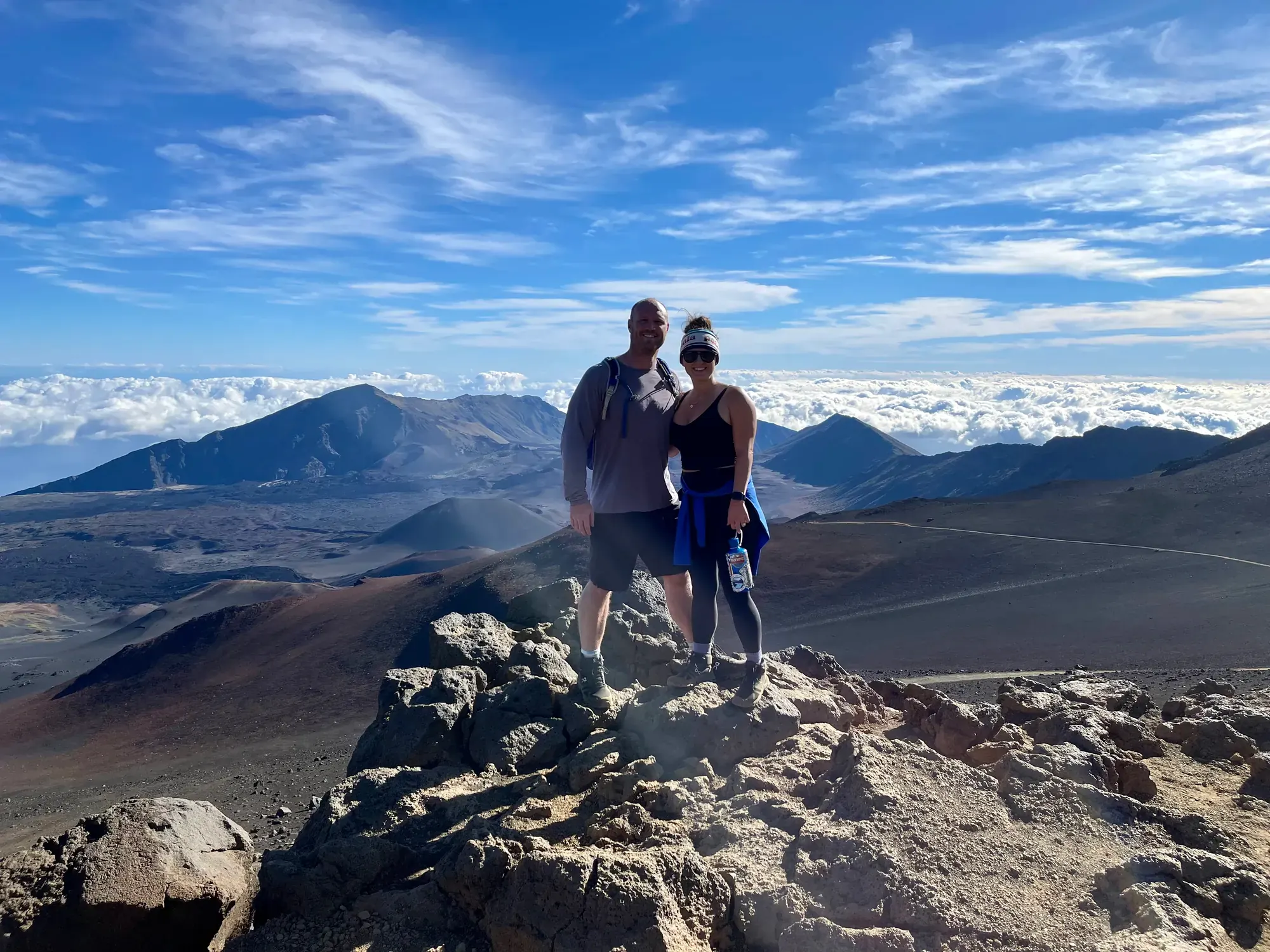
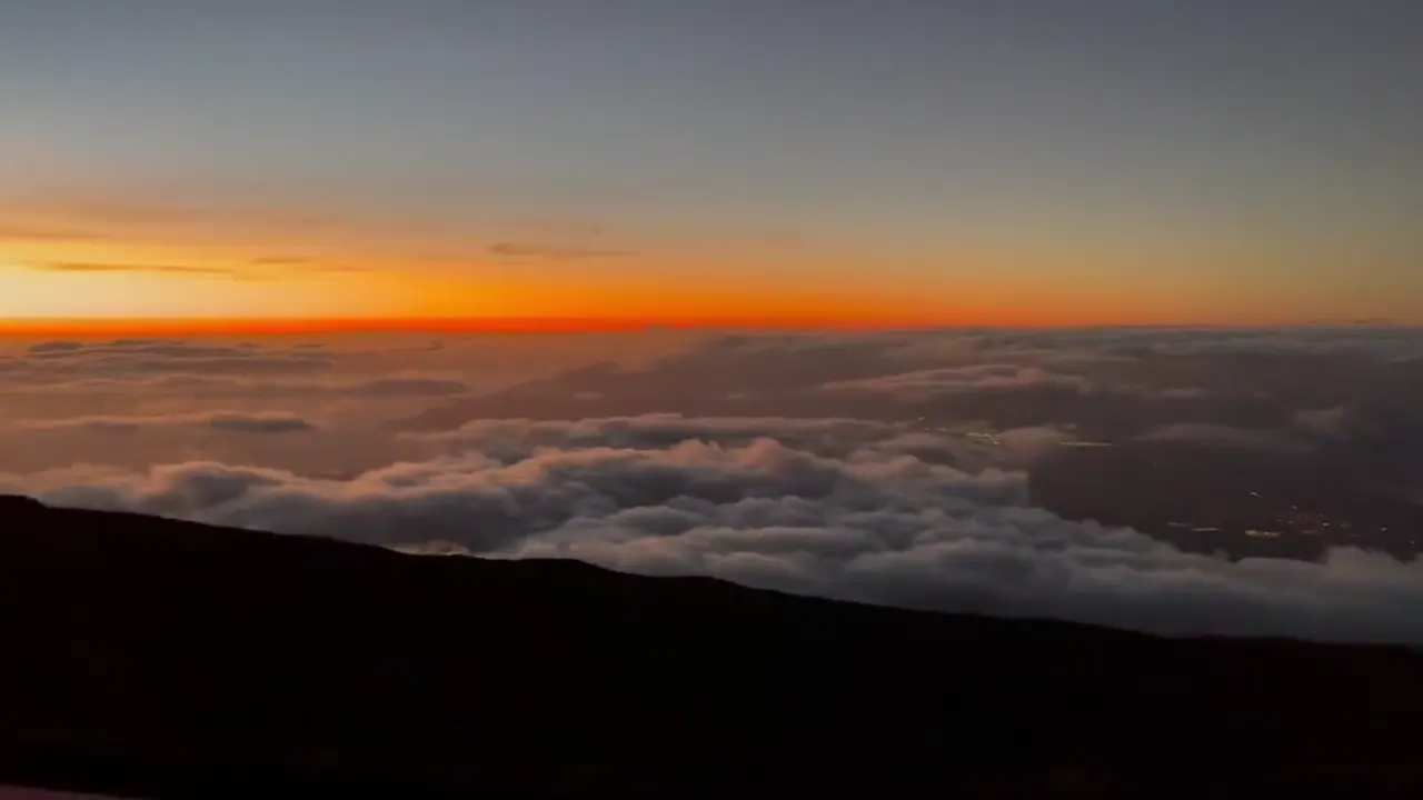
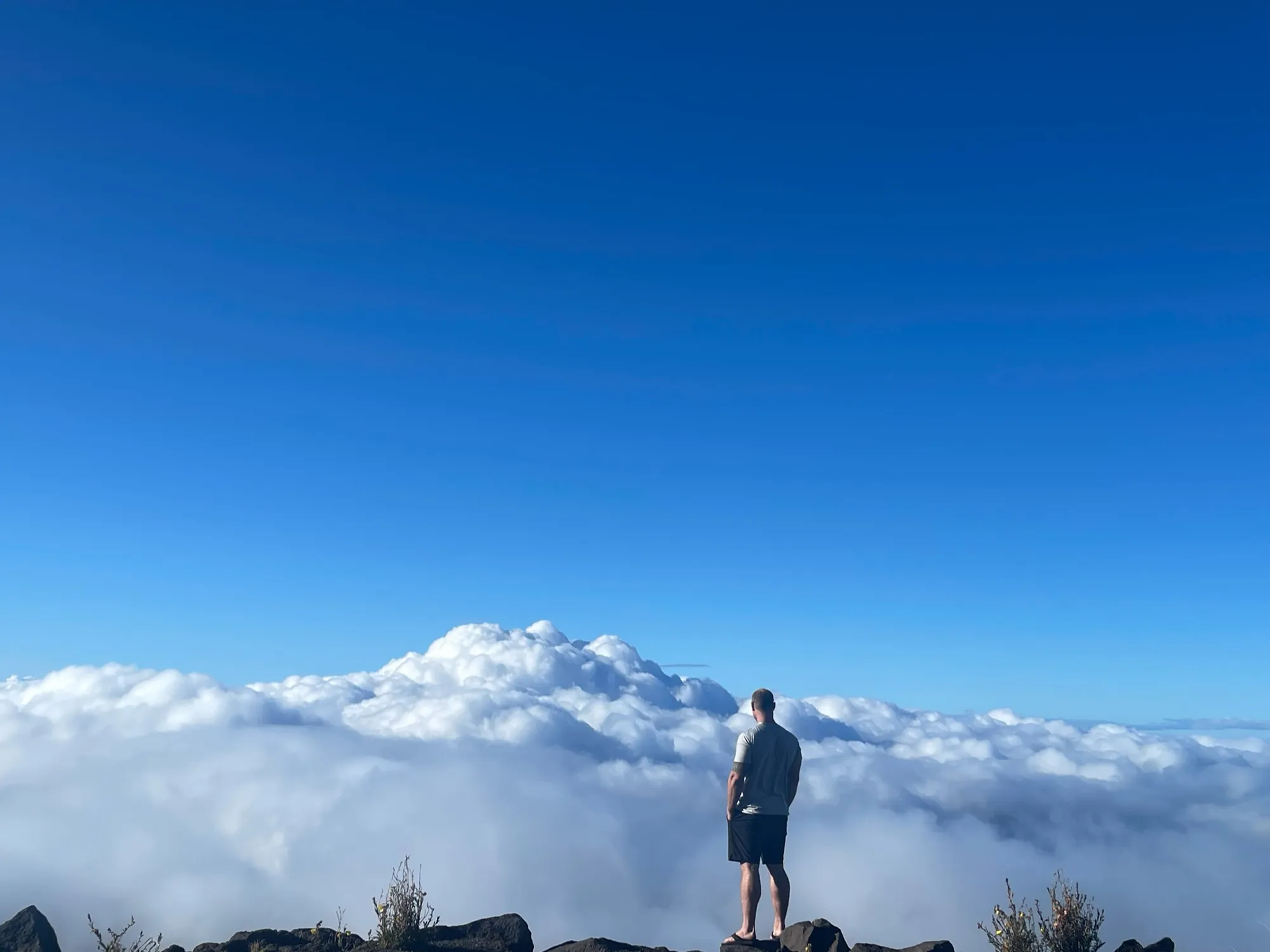
Haleakalā offers one of the most unusual landscapes in the entire national park system. Standing above the clouds and looking down into the enormous volcanic crater, surrounded by colorful cinder cones and barren terrain, feels more like visiting Mars than Hawaii.
Our favorite moment
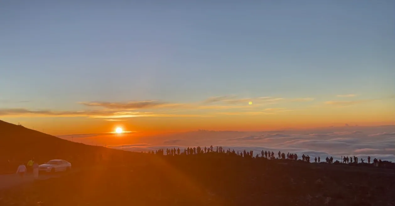
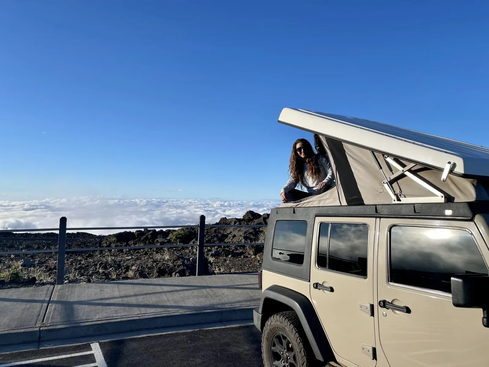
Watching sunrise and sunset above the clouds, hiking the Sliding Sands Trail and walking through the bamboo forest in the Kīpahulu District. We also rented a Jeep with a rooftop tent that we camped in, so that added to the experience.
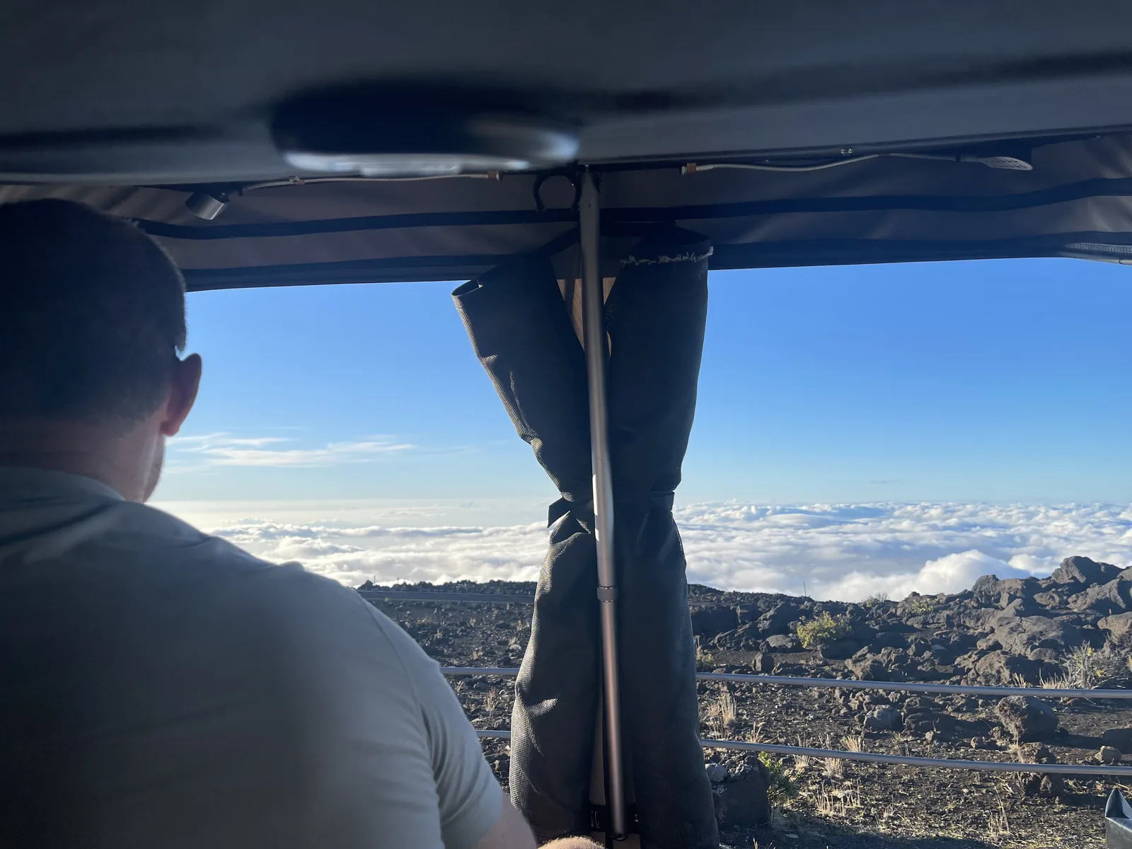
Photos by David & Keri New.
Firsthand · David & Keri New
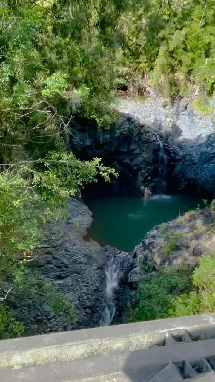
You drive from the beach to over 10,000 feet in a couple of hours and end up standing above the clouds. Watching the sun come up over that sea of clouds was cold, but well worth it. The Kīpahulu side is a different trip altogether, with rainforest, pools and waterfalls down on the coast.
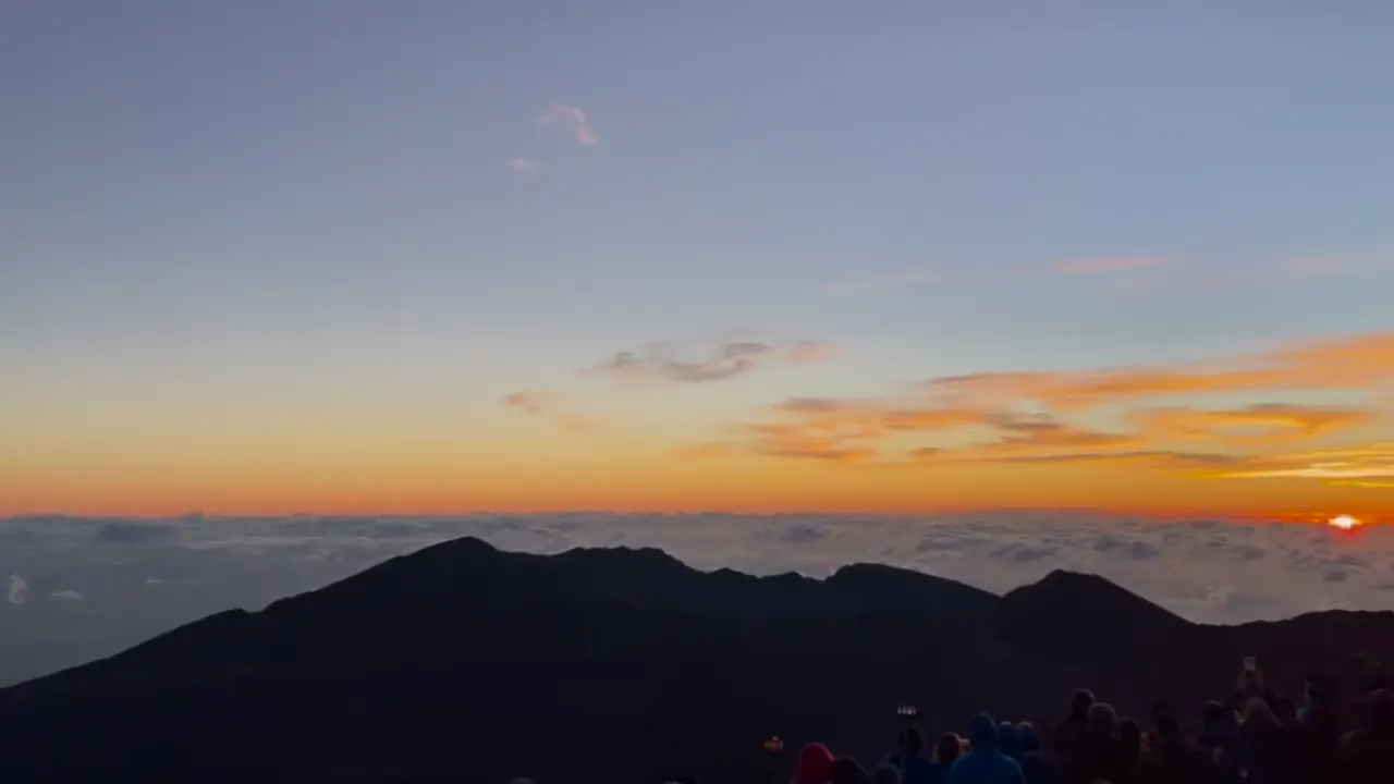
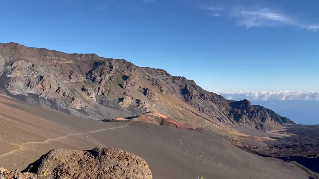
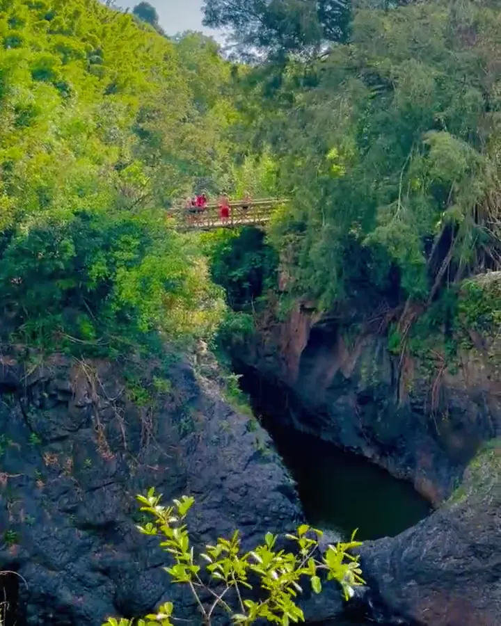
Pīpīwai Trail
It climbs from the Kīpahulu coast past a huge banyan tree, through a bamboo forest that creaks in the wind, and ends at the base of 400-foot Waimoku Falls. It felt nothing like the summit.
Book the sunrise reservation as early as you can, and pack real winter layers. It is near freezing at the summit before dawn.
Kīpahulu is on the far side of the island, down the Hāna Highway, so give it its own day.
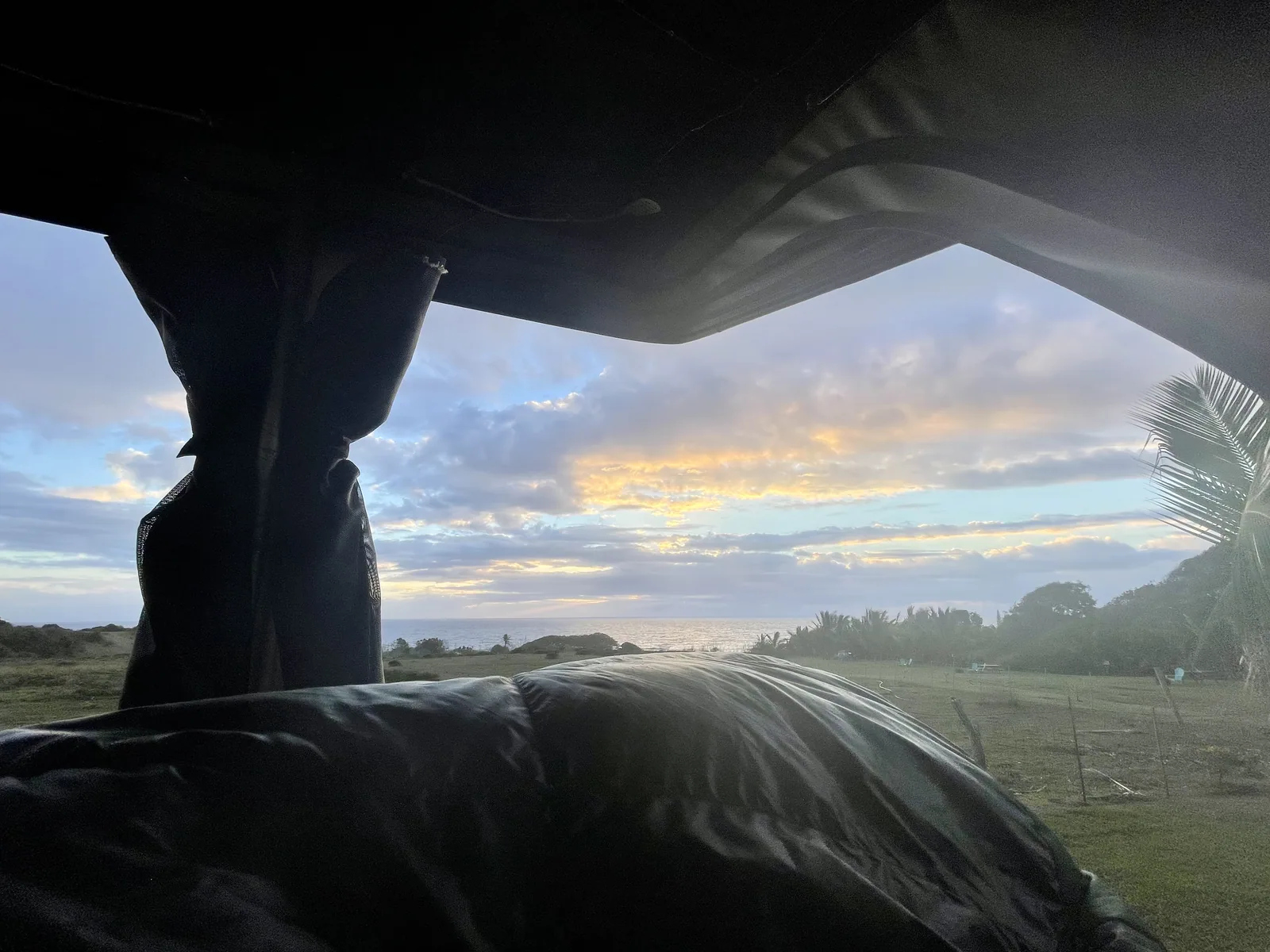
We spent a night above the clouds at Haleakalā, and woke up already above them.
We wouldn’t change much, but we’d tell anyone who misses out on a sunrise reservation to go up for sunset. It doesn’t need one, and the light over the crater is just as good.
We went Thanksgiving week, back when Hawaii still had its Safe Travels entry rules. Maui was busy and the summit was packed for sunrise, but the reservation system keeps it from getting out of hand. We had clear skies above the clouds and dressed for winter, because it is cold before dawn at 10,000 feet.
Makawao is a little upcountry cowboy town on the way up, and T. Komoda Store and Bakery there is famous for its cream puffs and stick donuts. Down near Pāʻia, Mama’s Fish House is the big Maui splurge.
Hosmer Grove Campground
David 9/10Keri 9/10
We rented a Jeep with a rooftop tent, and it was awesome. We were able to get up early and be at the top for sunrise and sunset, and comfortably watch everything from our bed, since it was attached to the Jeep. Getting to wake up above the clouds like that was a really cool experience.
Entry
Check entry rules
You still need an entrance pass: $30 per vehicle, good for 3 days.
Fees and permitsBest time
May, June, September
Best May-September (driest, mildest summit, silverswords). October a quiet sweet spot. December-March wetter, icy summit, storm closures. Sunrise res all year.
Month by monthSunrise at the summit needs a $1 vehicle reservation on Recreation.gov for 3 to 7 a.m. Sunset doesn’t need one. Last verified · nps.gov
Itineraries
1 day
2 daysOur pick
3 days
Compare the 1-, 2- and 3-day plans, day by day →
Map
3 visitor centers and 2 of the 6 campgrounds on a map you can zoom and drag. Map data loads from OpenStreetMap when you tap.
Visitor centerCampground Roads and trails are community-mapped; check closures with the park.
Locations from the NPS visitor-center listing, checked Nov 13, 2026. Hours and what each one has
Locations from Recreation.gov, checked Nov 7, 2026. Not on this map: Hosmer Grove, Kīpahulu, Hōlua & Palikū wilderness tent sites and Wilderness cabins (no Recreation.gov location in our data). Compare all 6 campgrounds
Trails
0.3 mi
A short walk to a crater viewpoint, across the road from the lot. Uneven steps.
Out and back · About 30-60 minutes
Start: Across the park road from Leleiwi parking lot.
0.4 mi
Up the puʻu beside Haleakalā Visitor Center to rock-wall shelters and a crater view.
Out and back · About 15 minutes (estimated)
Start: Beside Haleakalā Visitor Center.
0.5 mi
Starts in the Haleakalā Visitor Center lot. The 1-mile natural overlook is about 500 ft down.
Out and back · About 15 minutes (estimated)
Start: Haleakalā Visitor Center parking lot, near the road.
0.5 mi
From Kīpahulu Visitor Center to the mouth of ʻOheʻo Gulch. The best view of the pools.
Loop · About 15 minutes (estimated)
Start: From Kīpahulu Visitor Center, take the right branch at Hale Hālāwai.
0.54 mi
Native shrubland and honeycreepers near the entrance.
Loop · About 15 minutes (estimated)
Start: Hosmer Grove trail sign beside the parking area.
2.2 mi
Rocky path to a view of the crater and Koʻolau Gap. Rainbow Bridge is about 0.25 mi past the first viewpoint.
Out and back · About 1-2 hours
Start: Halemauʻu Trailhead; trail begins at the far end of the parking lot.
4 mi
In Kīpahulu: the 200-ft Makahiku Falls overlook at 0.5 mi, the bamboo forest at about 1 mi, and 400-ft Waimoku Falls at 2 mi. Muddy and rooty.
Out and back · About 1.75 hours (estimated)
Start: Kīpahulu Visitor Center; left branch at Hale Hālāwai.
4.6 mi
Out to the Halemauʻu Trail junction.
Out and back · About 2 hours (estimated)
Start: Supply Trail parking area on Hosmer Spur Road.
11 mi
Allow 7-9 hours. It’s point-to-point, and there’s no park shuttle, so plan your own ride between trailheads. The NPS suggests parking at Halemauʻu.
One way (point to point) · About 7-9 hours
Start: Keoneheʻeheʻe Trailhead to Halemauʻu Trailhead; arrange transportation between trailheads.
Distances, gains and difficulty as NPS publishes them; the bar shows the published distance, dashed where a longer option exists.
Camping
Fees, permits & rules
Last verified · nps.gov All Haleakalā fees, permits and booking deadlines →
Required to enter the Summit District from 3 to 7 am HST. They cost $1 per vehicle and are online only. They’re released 60 days ahead at 7 am HST and often sell out within 15 minutes, with more released 2 days ahead. You’re limited to 1 per 3-day period, with no refunds for weather. Bring a printout plus photo ID. 150 vehicles are allowed. The entrance fee is separate.
Last verified · Sunrise reservations FAQ (NPS)The Pools of ʻOheʻo can’t be entered. View them from the Kūloa Point Trail. Entering any stream in the park is prohibited at the campground and not recommended anywhere because of flash floods and rockfall.
Last verified · Current conditions (NPS)Stay on designated trails to protect silverswords and other endemic species. Overnight stays are allowed only in designated campsites and cabins, and sleeping in a vehicle elsewhere is prohibited. Overnight stays are capped at 3 nights per 30 days across the whole park.
Last verified · Camping (NPS)Coming from the Big Island? Clean the dirt off your shoes, clothing and gear and spray them with 70% alcohol before hiking in native forest.
Last verified · Rapid ʻŌhiʻa Death (NPS)Email me this guide Get a link to the Haleakalā guide in your inbox, to open again when you plan or before you go.
One email with the link. We don’t add you to any list unless you tick the box.
Historical recreation visits · 2021–2025 · as of Nov 3, 2026. Visits count entries, not unique people, parking spaces or trail crowding.
Busiest by average count: Jul. Quietest: Feb. Each bar is that month’s average visits across 5 years; unusual years and reported zeros are included. Past visits can’t tell you the best time of day to arrive.
Every month’s visits and NOAA weather, with the counts for each year →
NPS Visitor Use Statistics: monthly report · NPS monthly data · checked Nov 3, 2026; latest included year 2025.
Plan your visit
For any park: passes and free entrance days · what to pack · visiting with kids · stargazing
Getting there and park logistics →
Find a place to stay near Haleakalā → See camping and backup options for this park.
How this page is made. The section “What we’d tell a friend” is ours. Our recorded visits to Haleakalā include November 2021.Planning information, including any fees, permits, closures, weather and crowd figures shown here, is compiled from the National Park Service, Recreation.gov and other public sources, and each fact shows the date we last checked it. If something is wrong, tell us and we’ll log the fix on our corrections page.