Compare · Park vs park
Kings Canyon vs Pinnacles
Which one to visit, or how to see both. They’re about 3 hr 43 min (203 miles) apart by road.
The short answer
- Our rankingWe rank Kings Canyon #29 and Pinnacles #42 of the 63 parks we have visited. More
- CrowdsPinnacles is the quieter park: 343,208 visits in 2025, against 779,791 at Kings Canyon (about 2 times). Source
- SeasonBoth are at their best in October. Kings Canyon is also good in June, July, August and September. Pinnacles is also good in March, April, May and November. More
- Both?It’s about 3 hr 43 min by road (203 miles) from Kings Canyon Visitor Center to Bear Gulch Nature Center, our estimate with no stops. Doable on one trip if you give each park its own days.
Side by side
Sources: the park guides (National Park Service pages, linked on each guide), NPS entrance fees, NPS visits for 2025, our best-months scores (dark = better), and today’s NPS alerts as of Nov 20, 2026. Drive times to airports are our road estimates with no stops.
In our words
Kings CanyonOur #29
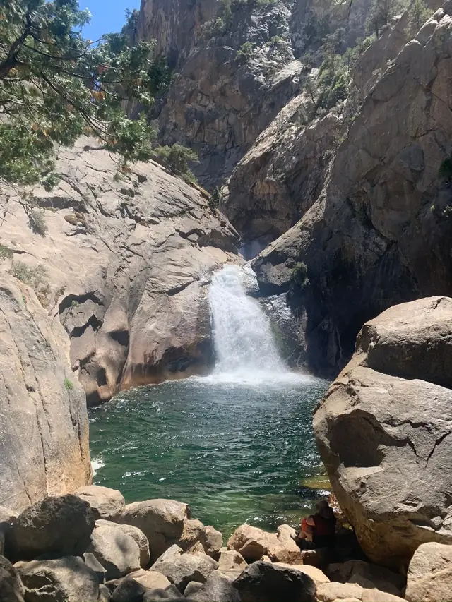
Few canyons in North America are deeper than Kings Canyon. It has granite walls, waterfalls like Roaring River and Grizzly Falls, and giant sequoias up top at Grant Grove. It feels like Yosemite without the crowds. Kings Canyon was very similar, and it was hard to tell the two parks apart.
Our favorite hike: Mist Falls. From Roads End you follow the South Fork of the Kings River up the canyon, with granite walls the whole way, to a big, loud waterfall.
PinnaclesOur #42
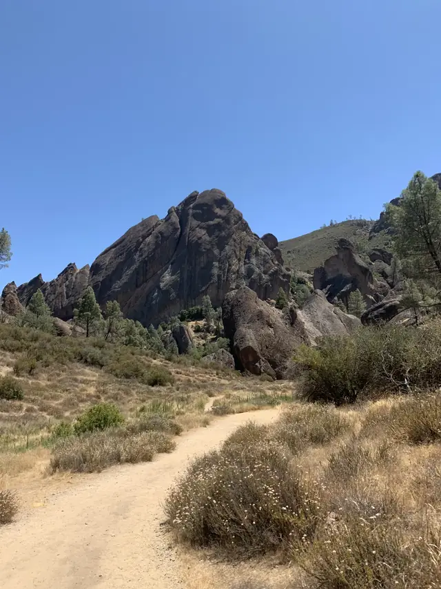
Pinnacles is what’s left of an ancient volcano that the San Andreas Fault carried well north of where it erupted. That leaves jagged spires, talus caves and condors in the middle of California ranch country. It’s a small park, and you can see a lot of it in a day.
From David & Keri New, who have visited 63 of the 64 national parks. How we rank them.
Seeing both
It’s about 3 hr 43 min by road (203 miles) from Kings Canyon Visitor Center to Bear Gulch Nature Center, our estimate with no stops.
Go in October to catch both at their best.
- Plan a trip to both free itinerary builder
- Kings Canyon guide camping, hikes, when to go
- Pinnacles guide camping, hikes, when to go
- Where to stay near Kings Canyon lodges, towns and rentals
- Where to stay near Pinnacles lodges, towns and rentals
Questions
- Which is better, Kings Canyon or Pinnacles?
- It depends on your trip. In our own ranking of the 63 national parks we have visited, Kings Canyon is #29 and Pinnacles is #42.
- How far is Kings Canyon from Pinnacles?
- It’s about 3 hr 43 min by road (203 miles) from Kings Canyon Visitor Center to Bear Gulch Nature Center, our estimate with no stops.
- What is the best time to visit both Kings Canyon and Pinnacles?
- October, when we rate both parks 4 or 5 out of 5 for weather and access.
More matchups
- Sequoia vs Kings Canyon under an hour apart
- Yosemite vs Kings Canyon about 3 hr apart
- Yosemite vs Pinnacles about 4 hr apart
- Sequoia vs Pinnacles about 4 hr apart
Neighbors within a 5-hour drive, plus a few well-known pairs farther apart, from our road estimates of Nov 10, 2026 (routing data © OpenStreetMap contributors). Or compare any two parks.