Tanque Verde Ridge Trail to the First Overlook
This is the short overlook hike on Tanque Verde Ridge, not the whole ridge trail, a Juniper Basin camping trip, or a trip to Cow Head Saddle.
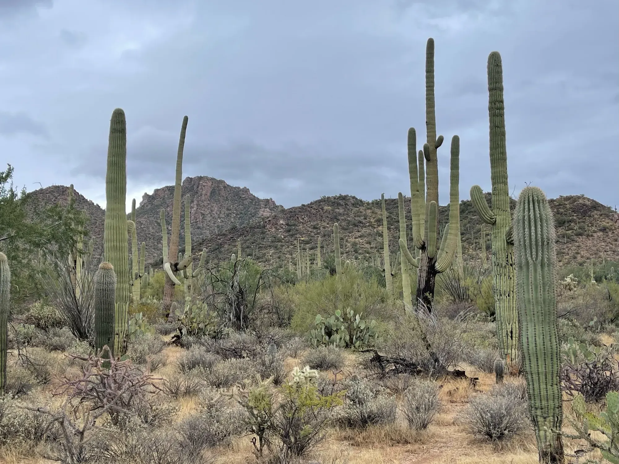
Saguaro · Photo: David & Keri New
- 0.6 miDistance
- 100 ftElevation gain
The numbers, with sources
Distance: About 0.6 mile up to the overlook; return on the same trail Source
Gain: Roughly 100 feet at the overlook approach, as described by NPS Source
Time: The NPS does not publish a walking time for this route. Source
Difficulty: See the official route and surface descriptions; no separate rating added. Source
Trailhead: Use the Tanque Verde Ridge Trail; the short overlook is about 0.6 mile up the route. The NPS page doesn’t give full driving directions. Source
Route type: out-and-back Source
Built from official sources (checked Nov 3, 2026). Confirm current conditions with the park.
Recreation.gov permits, entrances & campgrounds
Recreation.gov (RIDB). Booking records date not published. NPS guidance above takes precedence. A listing doesn’t mean you need a permit or that there’s space on your dates.
Park campground options (1)
These records belong to the park’s NPS recreation area. We haven’t checked how close these are to the trail, when they open or whether sites are free; check the map and the booking page.
Saguaro National Park Wilderness Permits — Campground; RIDB reservable: yes. Season: not published in structured RIDB data. Recreation.gov (RIDB) source · Booking details
Route, junction by junction
Selected start → Selected destination
This is the short overlook hike on Tanque Verde Ridge, not the whole ridge trail, a Juniper Basin camping trip, or a trip to Cow Head Saddle. Source
No elevation profile yet:
No elevation profile yet: we haven’t verified complete measurements for this route. Source
In-depth guide
Compiled from linked sources, checked Nov 2, 2026. Each paragraph links to its source.
Is this hike for you?
The Tanque Verde overlook is a short walk up the Tanque Verde Ridge Trail: about 0.6 miles (roughly 100ft of elevation) to an overlook area that the NPS points to for sunset. You come back the same way. The NPS doesn’t give a hiking time. Source
The trail
The overlook is the shortest option on a long trail. Tanque Verde Ridge Trail runs a total of 11 miles from the trailhead up to Cow Head Saddle Trail and passes Juniper Basin, one of the park’s backcountry campsites, so it’s also used for multi day trips. For the overlook, turn around at the overlook area and retrace your steps; carry a park map if you plan to go farther. Source
Getting to the trailhead
The NPS page doesn’t give driving directions to the trailhead. Ask park staff or check a park map for the right start. Source
Fees and reservations
The private vehicle entrance pass is $25.00. It’s a dated register receipt that admits one private, non-commercial vehicle (passenger cars, trucks, vans, recreational vehicles, campers or converted buses used for recreation) into Saguaro National Park. The NPS doesn’t say whether this hike needs a reservation. Fees can change, so check before your trip. Source
Before you go
The NPS doesn’t publish accessibility details, a season, or pet rules for this trail, so check those with the park if they matter for your group. Source
When we last checked, an NPS alert said much of the Bajada Loop Drive in the west district was closed by storm damage, Hohokam Road was open to Sus Picnic Area only, and the Javalina Wash Trail was closed. The Red Hills Visitor Center was open, many trails were still accessible, and the east district was fully open. Check current alerts before you go. Source
Bring a current park map. We haven’t verified a complete line for this route, so there’s no elevation profile yet. Source
Sources & planning limits
Reviewed 2026-11-03. Check current conditions for your trip dates.
- The 0.6 miles and 100ft are the NPS’s rough figures for the overlook; we haven’t measured them against a mapped route. Source
- Fees and alerts here can go out of date. Check access, services and reservations for your travel date. Source
- The NPS doesn’t say whether this trail suits kids or people with limited mobility. Source
- The NPS doesn’t say what services will be open on your date. Check before you count on them. Source
- No elevation profile yet: we haven’t verified a complete line for this route. Source
Getting there and back
Use the Tanque Verde Ridge Trail; the short overlook is about 0.6 mile up the route. The NPS page doesn’t give full driving directions. Source
Return: Complete the return arrangement described for this route. The NPS says the whole trail runs 11 miles from the trailhead. That’s not the distance to the overlook. NPS separately identifies the overlook around 0.6 mile up the route; use that destination distinction when discussing the plan with park staff. Source
Water
Hazards
Season
The NPS does not publish a seasonal opening window for this route. Source
The NPS does not publish a seasonal opening window for this route. Source
Gear & rules
The NPS does not publish pet rules for this exact route. Source
Filling a gap in your kit? Compare these packing essentials on Amazon. Choose gear for your route, conditions and the park’s guidance.
As an Amazon Associate we earn from qualifying purchases. How this works
Questions
Which hike is this?
This is the short overlook hike on Tanque Verde Ridge, not the whole ridge trail, a Juniper Basin camping trip, or a trip to Cow Head Saddle. Source
Are the published figures fully consistent?
The NPS says the whole trail runs 11 miles from the trailhead. That’s not the distance to the overlook. NPS separately identifies the overlook around 0.6 mile up the route; use that destination distinction when discussing the plan with park staff. Source
Is there an elevation profile?
Elevation profile omitted: The official export contains the long Tanque Verde Ridge corridor, but no verified location for the short overlook turnaround. No line is cut at an assumed 0.6-mile position. Source
Alternatives
Camp near Tanque Verde Ridge Trail to the First Overlook
Closest campgrounds by drive time to Tanque Verde Ridge Trailhead:
- 38 min Sabino Canyon Recreation Area Cactus Ramada 2 ↗ (18 mi, USDA Forest Service)
- 38 min Sabino Canyon Recreation Area Cactus Ramada 1 ↗ (18 mi, USDA Forest Service)
- 1 hr 3 min Rose Canyon ↗ (30.5 mi, USDA Forest Service)
- 2 hr 47 min Wilderness Permits (21.7 mi, in the park)
Driving time with no traffic (OSRM, OpenStreetMap roads). Some park roads are shuttle-only in season. All camping near Saguaro
More Saguaro trail guides
- Valley View Overlook Nature Trail0.8 mi · Easy