Our favorite hike
Wind Canyon Trail
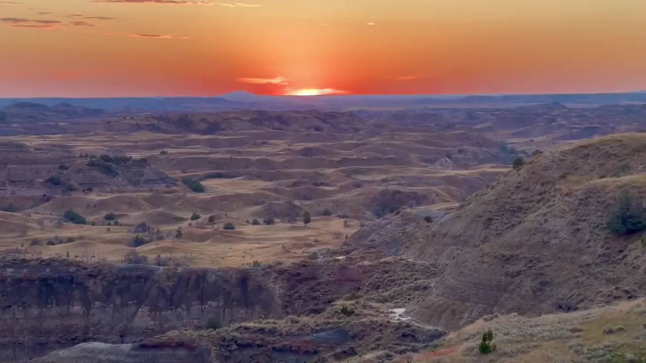
You walk a short loop up a ridge and look down onto a big bend in the Little Missouri River. It’s the park’s go-to sunset spot.

North Dakota
Little Missouri badlands where a young Theodore Roosevelt ranched in the 1880s. There are three separate units: the busy South Unit at Medora off I-94, the quieter North Unit near Watford City, and the remote Elkhorn Ranch site between them. Bison, wild horses and prairie dog towns line the scenic drives.
By David & Keri New, who have visited 63 of the 64 U.S. national parksUpdated
48Park 48 of our 63Visited Sep 2022
Saves this park and its trail guides on this device. Alerts and conditions are as of when you save; live maps and bookings need a connection.
NPS alertsAs of 6:03 AM ET, Nov 20
3 days is our starting point.
Give the South Unit one day: start at the visitor center in Medora, drive the open scenic road and walk Wind Canyon Trail. With two days, give the North Unit its own day for Caprock Coulee and Oxbow Overlook.
With a few hours, stop at the South Unit Visitor Center in Medora, then drive part of the scenic road and turn back. NPS says to plan at least 2 hours for the full South Unit drive.
National Park Service guidanceNational Park Service guidance
Visit the Elkhorn Ranch Unit, Roosevelt's home ranch site. It is reached on gravel roads, the last stretch sometimes needs 4-wheel drive or high clearance, and there is no cell signal. Ask about road conditions at a visitor center first.
If part of the scenic drive is closed, follow the signed open route or use our shorter South Unit plan. Winter snow and ice can close parts of both scenic roads, and a road collapse has cut off Ridgeline Nature Trail.
Open the backup itineraryNPS operating dates and hoursNational Park Service guidance
Medora
There is no lodging in the park. Medora sits at the South Unit entrance with lodging, campgrounds, dining and gas, though services are more limited in winter. For a North Unit day, Watford City is the nearest town.
NPS lodging informationNPS lodging and campingLodging and gateway towns
Book your room or campsite first. All sites in Cottonwood Campground (South Unit) and Juniper Campground (North Unit) need a reservation on recreation.gov. Park entry needs no reservation, and fees are card or digital only.
National Park Service guidanceNational Park Service guidanceNational Park Service guidanceNational Park Service guidanceNational Park Service guidance
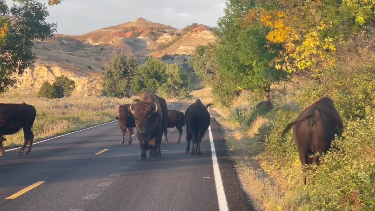
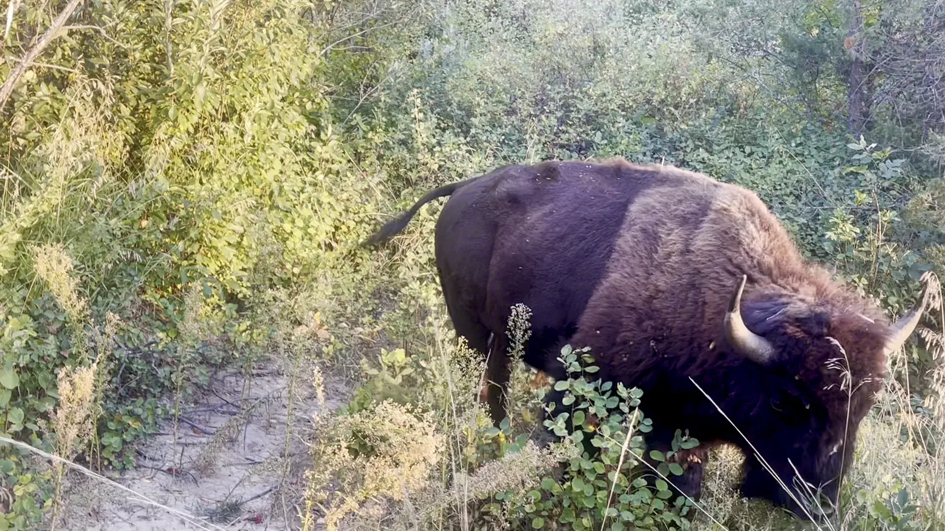
Plan to drive. The South Unit entrance is in Medora off I-94. The North Unit entrance, on US 85 south of Watford City, is 1 hour 10 minutes away and on Central time. David and Keri found bison walking down the South Unit road.
NPS directionsNPS operating dates and hoursDavid & Keri’s trip notes
Our visit
September 2022
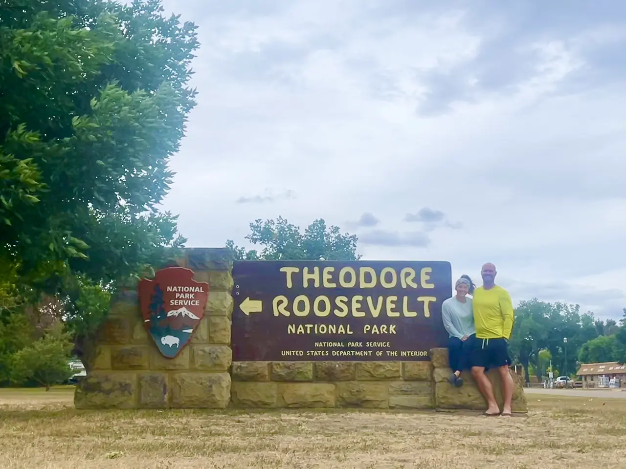
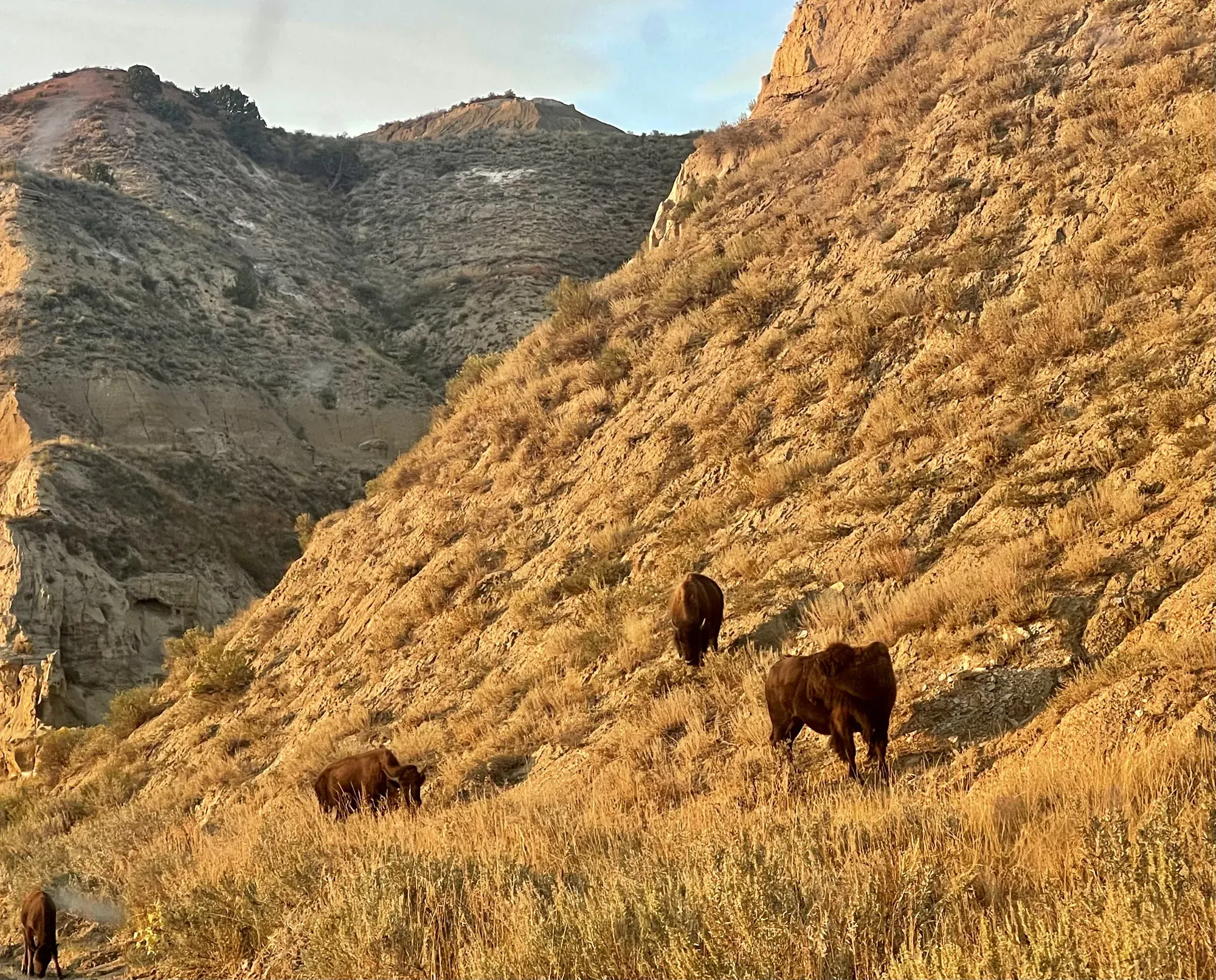
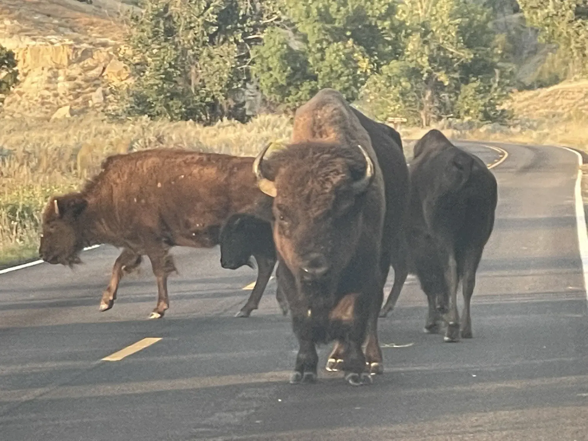
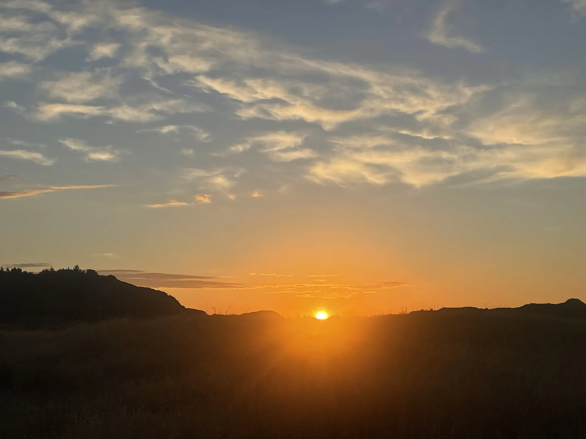
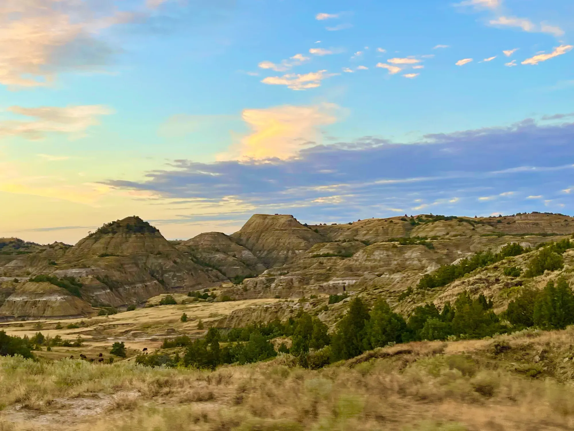
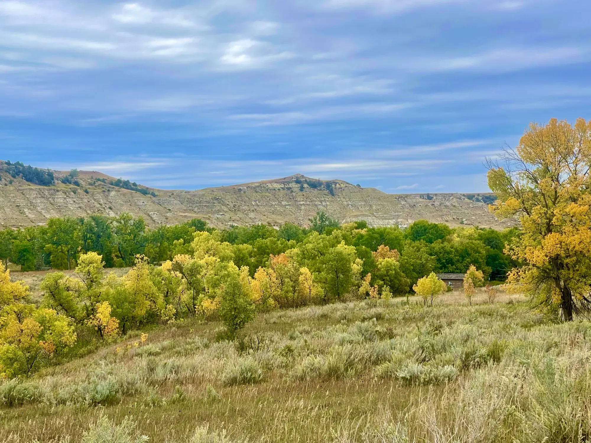
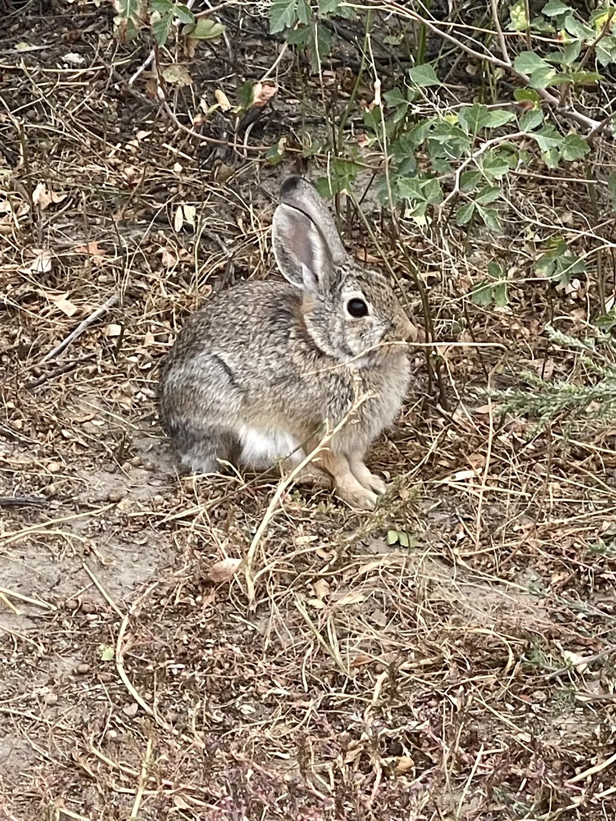
Why it’s on our list
Theodore Roosevelt is an underrated park that offers beautiful badlands scenery, abundant wildlife, and a peaceful atmosphere. The chance to see wild horses, bison, and prairie dogs roaming through the rugged landscape makes this park particularly memorable.
Our favorite moment
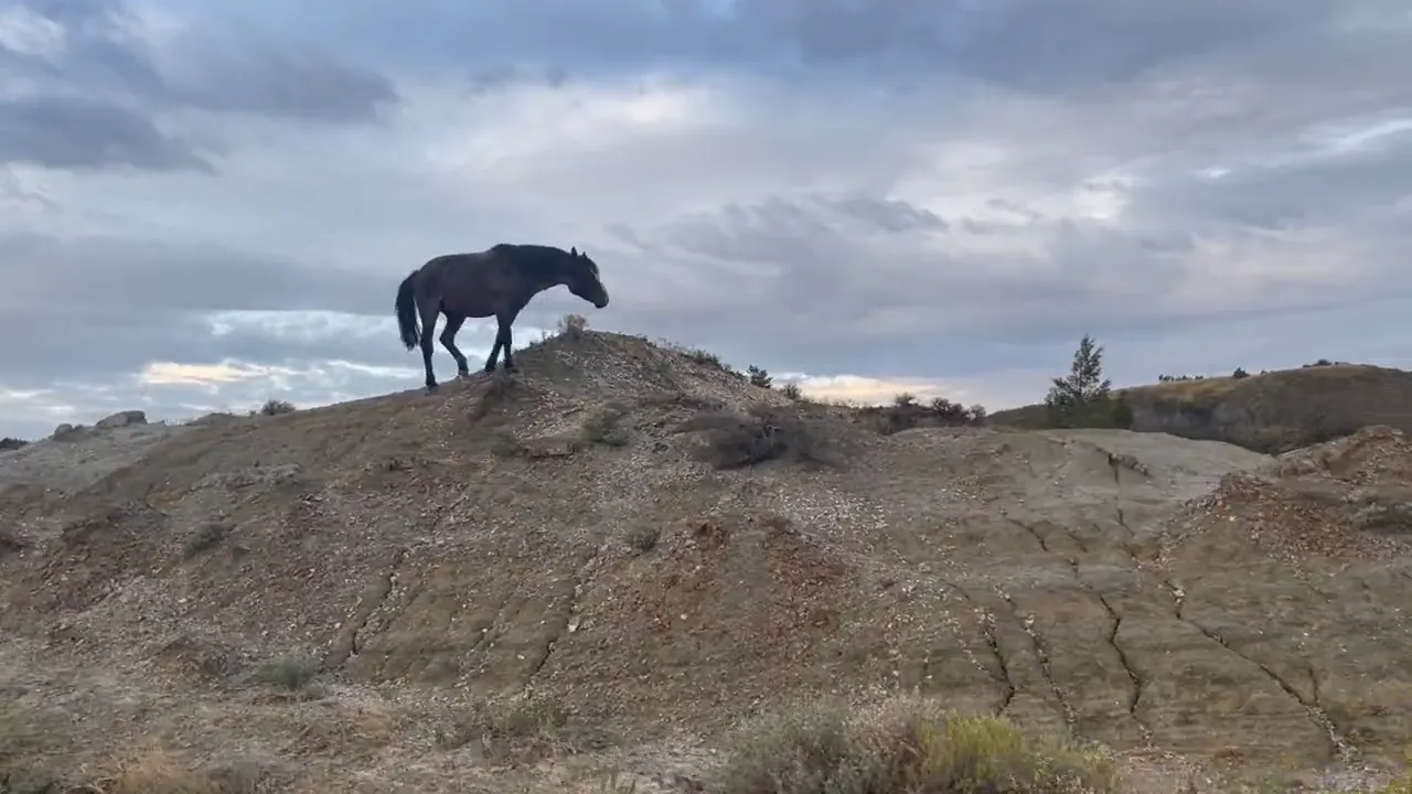
Watching wild horses roam the badlands, encountering a herd of bison, visiting a prairie dog town and watching sunset over the Little Missouri River. We planned to only drive through this park and stay for a few hours, but we enjoyed it so much that we ended up camping out and staying a day and a half.
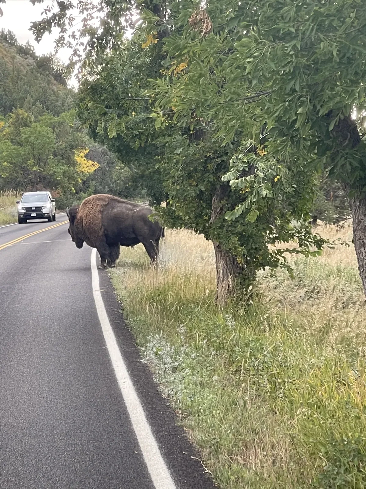
Photos by David & Keri New.
Firsthand · David & Keri New
North Dakota’s badlands had more wildlife than we expected, with bison on the road, wild horses on the ridges and prairie dog towns everywhere. Roosevelt said he never would have been president without his time out here.
Wind Canyon Trail
You walk a short loop up a ridge and look down onto a big bend in the Little Missouri River. It’s the park’s go-to sunset spot.
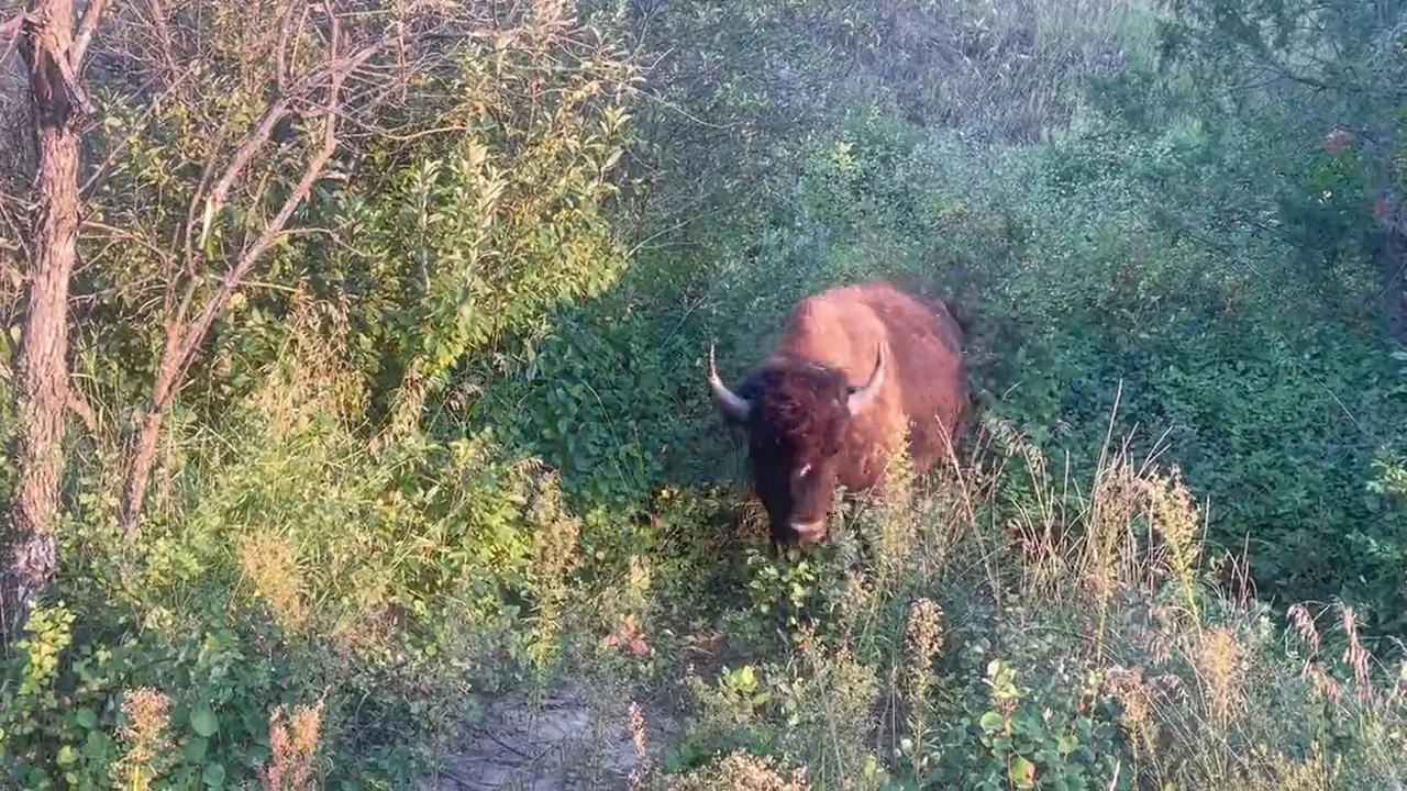
Drive the South Unit Scenic Loop early or late in the day for bison, wild horses and prairie dogs. Give the bison plenty of room, because they walk right down the road.
We should have made time for the North Unit, which is about an hour north and even quieter.
With that day we’d hike Caprock Coulee and drive out to the Oxbow Overlook, both up in the North Unit.
The summer crowds were gone by late September, and the cottonwoods were turning gold in the river bottoms. We had a mix of clouds and sun, with nice evening light. Some seasonal things in Medora wind down after Labor Day, so check on those if you’re planning around them.
Medora is the gateway town, with the Pitchfork Steak Fondue and the Medora Musical in summer. The Painted Canyon overlook off I-94 is a quick, scenic stop.
Cottonwood Campground
David 9/10Keri 9/10
We did not intend to stay here overnight, but we ended up finding the very last spot available, and it was such a fun experience. This time of year the leaves were changing on all the trees, and the animals were moving. They were roaming through the campground, and it was so much fun. We ended up staying and walking around the campground for hours, just watching all the wildlife that was coming through.
Entry
No entry reservation required
You still need an entrance pass: $30 per vehicle, good for 7 days.
Fees and permitsBest time
June, September
June flowers and September wildlife lead. Midsummer is hot and busy, October turns colder, and winter can limit road access.
Month by monthItineraries
1 day
2 days
3 days · Add the Elkhorn RanchOur pick
Theodore Roosevelt itinerary: every day stop by stop, with sources
Compare the 1-, 2- and 3-day plans, day by day →
Map
3 visitor centers and 5 campgrounds on a map you can zoom and drag. Map data loads from OpenStreetMap when you tap.
Visitor centerCampground Roads and trails are community-mapped; check closures with the park.
Locations from the NPS visitor-center listing, checked Nov 13, 2026. Hours and what each one has
Locations from Recreation.gov, checked Nov 7, 2026. Compare the campgrounds
Official NPS maps for Theodore Roosevelt (opens in a new tab) ↗
Trails
0.1 mi
Paved and accessible, high on Johnson’s Plateau.
Out and back · About 5-15 minutes
Start: Skyline Vista Trailhead; next to accessible spaces in the Skyline Vista parking area.
0.2 mi
Paved and accessible; one of the most beautiful South Unit overlooks.
About 15-30 minutes
Start: Boicourt Trailhead; pulloff about 16 miles into the South Unit, on the south side of the scenic drive.
0.2 mi
The highest point reachable on foot.
Out and back · About 5-30 minutes
Start: Buck Hill Trailhead; end of a 1-mile spur branching from the scenic drive about 18 miles into the South Unit.
0.4 mi
The South Unit’s best view of the Little Missouri River; a ranger favorite for sunsets.
Loop · About 5-30 minutes
Start: Wind Canyon Trailhead; west side of East River Road, about 10.5 miles into the South Unit.
0.6–0.8 mi
Self-guided loop about clinker, bentonite and a coal seam that burned for more than 25 years. Ridgeline, nearby, is cut off by a road collapse.
Loop · About 30-45 minutes
Start: Coal Vein Trailhead; near the end of a 1-mile dirt road branching south from the scenic drive about 20 miles into the South Unit.
0.7–1.1 mi
River-bottom habitat. The inner loop is accessible.
Loop · About 30-45 minutes
Start: Juniper Campground
0.9 mi
A popular loop that drops down into the canyon.
Loop · About 30-80 minutes
Start: Painted Canyon Nature Trail Trailhead; I-94 Exit 32, about 50 feet north of picnic shelters at the parking lot’s west end.
4.3 mi
Starts on the nature trail, then climbs to a grassy butte and ridgeline.
Loop · About 2-3 hours
Start: Caprock Coulee Trailhead
7.1 mi
3-4 hours one way. The full trail crosses the national grassland and links all three park units; the NPS hiking page gives 96 mi, the NPS pets page 150 mi. No pets or bikes on the sections inside the park.
Last verified · nps.gov10.3 mi
Remote northwest corner with petrified wood. Use the approved access route.
Loop · About 5-6 hours
Start: Petrified Forest Trailhead
18 mi
10-12 hours. Sperati Point is a 1.5-mi round trip from Oxbow Overlook.
About 10-12 hours
Start: Juniper Campground; Oxbow Overlook
Distances, gains and difficulty as NPS publishes them; the bar shows the published distance, dashed where a longer option exists.
Camping
Fees, permits & rules
Last verified · nps.gov All Theodore Roosevelt fees, permits and booking deadlines →
Since May 1, 2026, all sites at Cottonwood (South Unit), Juniper (North Unit) and Roundup Group Horse Camp must be booked on Recreation.gov, its app or 877-444-6777. Individual sites can be booked up to 6 months ahead, including same day. The park can’t take reservations directly.
Last verified · NPS news release, Mar 24, 2026Since May 1, 2026, entrance fees, campsites, passes and other in-person sales take only mobile payment, credit or debit cards; no cash or checks. Visitors who can only pay cash can buy a park pass from one of two local third-party vendors in nearby towns.
Last verified · NPS news release, Mar 24, 2026The North Unit runs on Central time and the South Unit on Mountain time; program times follow the local zone.
Last verified · Hours (NPS)Use only the approved legal route from I-94 Exit 10 toward Camels Hump Lake, following the marked posts (CR-11, 30th St SW, Wannagan Creek Rd, then road 730). From Medora it’s about 50 minutes on dirt and gravel roads.
Last verified · NPS alertThe Ridgeline Nature Trail (0.6 mi) can’t be reached because of a road collapse. No repair or reopening date is posted (NPS South Unit page, checked Nov 2026).
Last verified · South Unit (NPS)Email me this guide Get a link to the Theodore Roosevelt guide in your inbox, to open again when you plan or before you go.
One email with the link. We don’t add you to any list unless you tick the box.
Historical recreation visits · 2021–2025 · as of Nov 3, 2026. Visits count entries, not unique people, parking spaces or trail crowding.
Busiest by average count: Jul. Quietest: Dec. Each bar is that month’s average visits across 5 years; unusual years and reported zeros are included. Past visits can’t tell you the best time of day to arrive.
Every month’s visits and NOAA weather, with the counts for each year →
NPS Visitor Use Statistics: monthly report · NPS monthly data · checked Nov 3, 2026; latest included year 2025.
Plan your visit
For any park: passes and free entrance days · what to pack · visiting with kids · stargazing
Getting there and park logistics →
Find a place to stay near Theodore Roosevelt → See camping and backup options for this park. Base town: Medora, ND.
How this page is made. The section “What we’d tell a friend” is ours. Our recorded visits to Theodore Roosevelt include September 2022.Planning information, including any fees, permits, closures, weather and crowd figures shown here, is compiled from the National Park Service, Recreation.gov and other public sources, and each fact shows the date we last checked it. If something is wrong, tell us and we’ll log the fix on our corrections page.