Deep blue Lake Crescent winds between forested mountains below a rocky summit in Olympic National Park

Washington

Olympic National Park Guide

Olympic Peninsula park in Washington with three ecosystems in one: glaciated mountains, temperate rain forest and wild Pacific coastline.

By David & Keri New, who have visited 63 of the 64 U.S. national parksUpdated

Park 24 of our 63Visited Jul 2021

Your trip planner

Add Olympic to a trip

Choose a saved trip or start a new draft for this park.

Saves this park and its trail guides on this device. Alerts and conditions are as of when you save; live maps and bookings need a connection.

Photo: David & Keri New

NPS alertsAs of 6:03 AM ET, Nov 20

Hurricane Ridge Road Closed, Thursday 11/19, 8:15am

  • Bat Tests Positive for Rabies, Visitors Urged to Report Potential Contact
  • Staircase Developed Area is Open, Use Caution in Burned Areas
Booking morning · Tuesday, December 1 · About 8 a.m. ET observed June 2027 dates open at Hoh Rainforest Campground and Sol Duc Hot Springs Resort Campground. Get a free reminder →

Plan your first trip to Olympic

3 days is our starting point.

Use day one for Hurricane Ridge and Lake Crescent. Make day two the move west, with Rialto Beach and the Hoh if both approaches are open. Save Ruby Beach and Kalaloch for day three.

Open the 3-day itineraryNational Park Service guidance

Starts a new draft and keeps your saved trips. Set a custom duration in the full planner.

How many days?

1 day
  1. A morning in the Hoh Rain Forest

With a few hours from Port Angeles, drive to Lake Crescent, about 18 miles west, and walk to Marymere Falls. The trail is 0.9 mile one way from Storm King Ranger Station, and the first 0.5 mile is accessible.

National Park Service guidanceNational Park Service guidance

Open this day plan
3 days · our pick
  1. Hurricane Ridge → Hurricane Hill → Marymere Falls
  2. Rialto Beach → Hall of Mosses → Spruce Nature Trail
  3. Ruby Beach → Beach 4 → Kalaloch
Open this day plan
Compare all trip lengths
Optional add-on

Add the Quinault Rain Forest, about one hour from Forks, for its loop drive and short trails from the Quinault Rain Forest Ranger Station. Check the North Shore and South Shore roads first. On November 9, NPS listed North Shore Road closed at mile 8.

National Park Service guidanceNational Park Service guidanceOpen the 5-day itinerary

If plans change

If Hurricane Ridge is inaccessible, use Lake Crescent and Marymere Falls when open. If the Hoh or Rialto approach is closed, check Ruby Beach and Kalaloch for a coast day. Check tides before any beach route that requires a low tide.

NPS park conditionsNational Park Service guidanceNational Park Service guidance

Check what’s open

Where to base yourself

Port Angeles, then the west side

For the three-day route, spend the night before day one near Port Angeles, then use Kalaloch for the west-side trips. Compare Forks if the Hoh and Rialto are your priorities. Avoid backtracking to Port Angeles after the coast day.

Lodging and gateway townsNational Park Service guidance

Compare stays and access

Before you book

Choose the north and west-side nights independently. Check roads to the Hoh and Hurricane Ridge before committing to dates, then confirm each lodge or campsite directly.

National Park Service guidanceLodging and gateway towns

Getting there and getting around

Every area of the park is reached from Hwy 101, and Washington State Ferries cross Puget Sound to the peninsula. Check road status each day. On November 14, Hurricane Ridge Road was variable and Mora Road to Rialto Beach was closed.

NPS directionsNational Park Service guidance

Our visit

Park 24 of our 63

Where Olympic ranks in our 63

July 2021

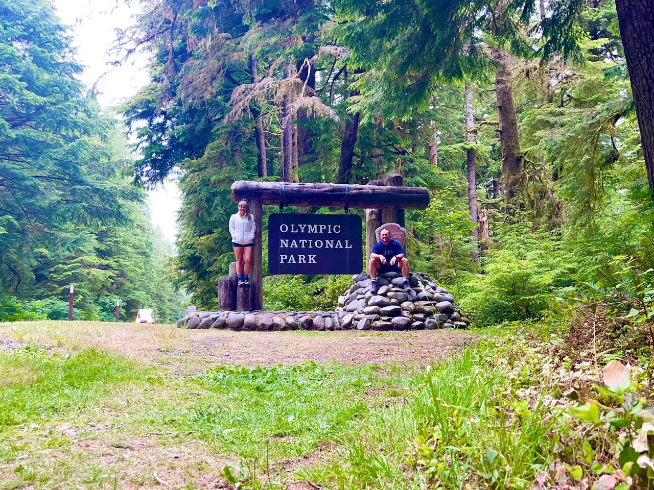
David and Keri at the Olympic entrance sign
We were hereJul 3, 2021
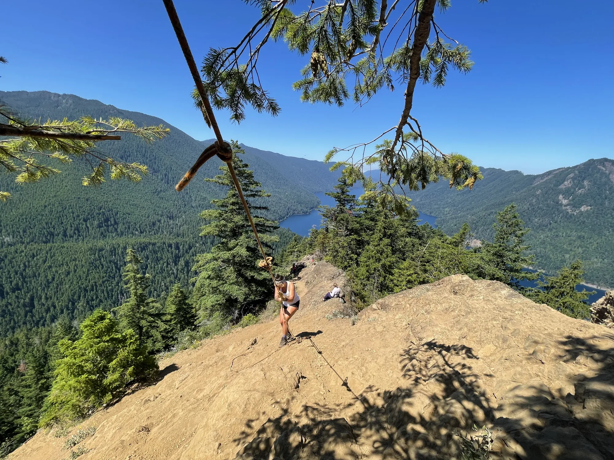
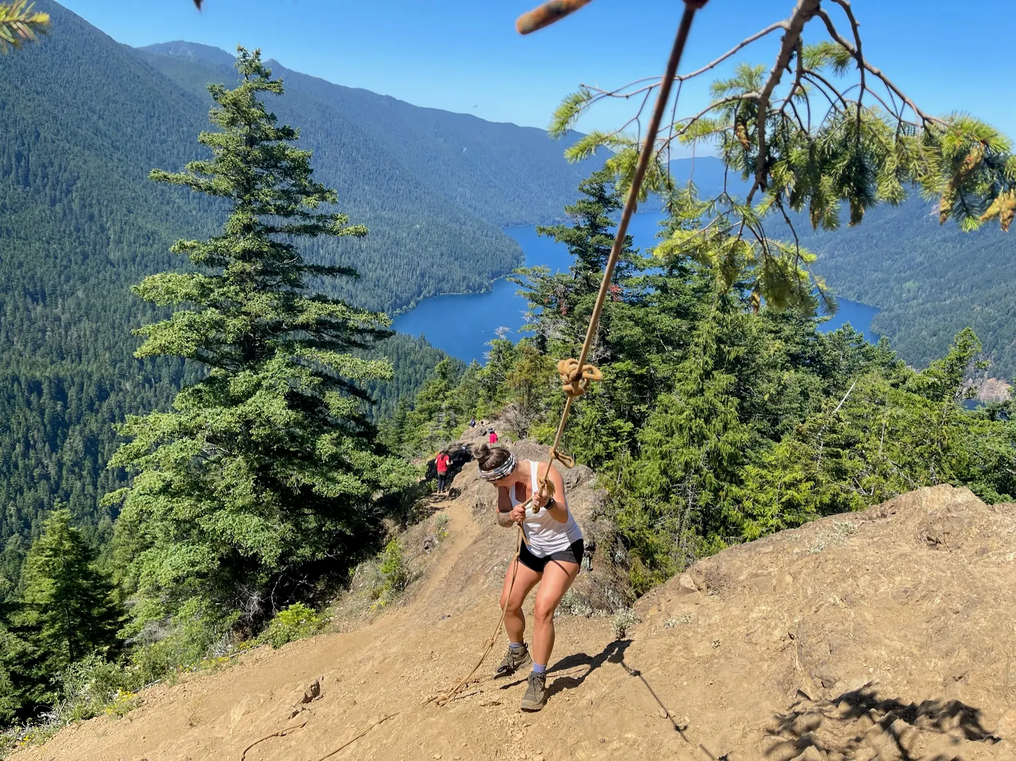
Keri hikes up the rope on Mount Storm King above Lake Crescent in Olympic National Park
Keri on the rope section of Mount Storm King, with Lake Crescent below. · Jul 3, 2021
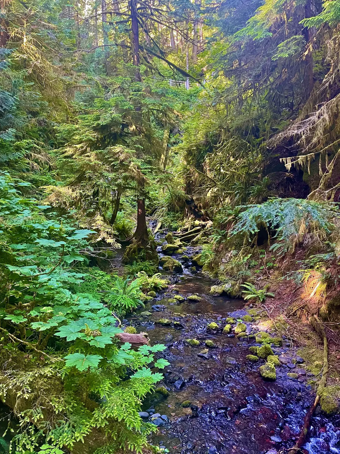
A mossy creek runs through a fern-filled rainforest in Olympic National Park
A little creek winding through the ferns in Olympic’s rainforest. · Jul 3, 2021
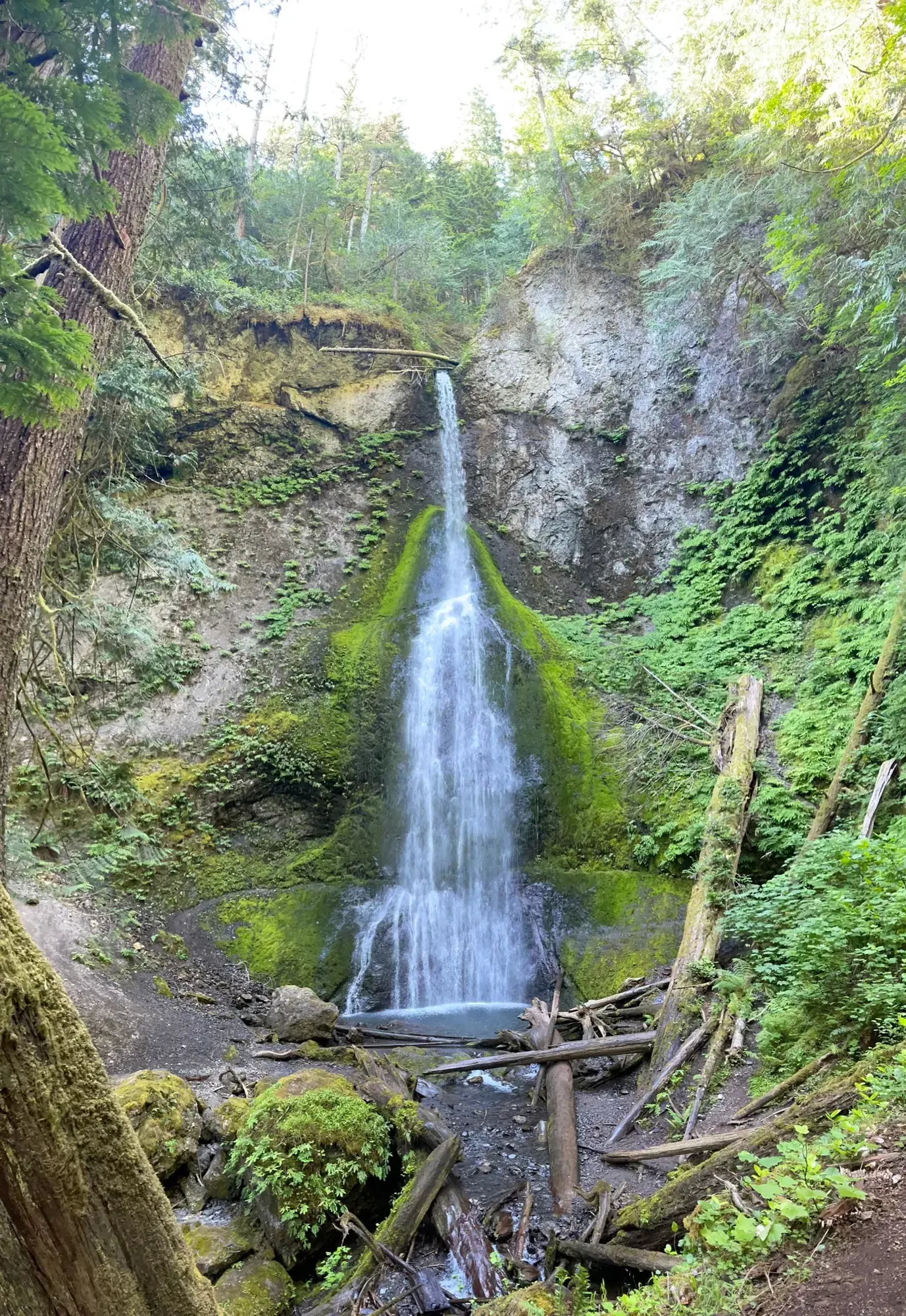
A slender waterfall pours down a mossy cliff into a fern-filled forest in Olympic National Park
Marymere Falls dropping through a notch in the forest near Lake Crescent. · Jul 3, 2021
A hiker climbs a steep dirt trail above a forested lake valley in Olympic National Park
On the steep part of Mount Storm King, high above the trees and Lake Crescent. · Jul 3, 2021
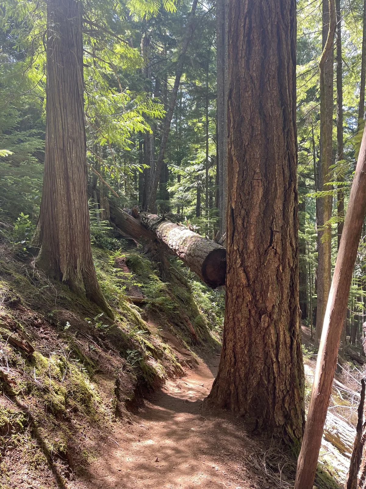
A forest trail passes between tall cedars and a fallen log in Olympic National Park
Threading between huge tree trunks on a trail in Olympic. · Jul 3, 2021
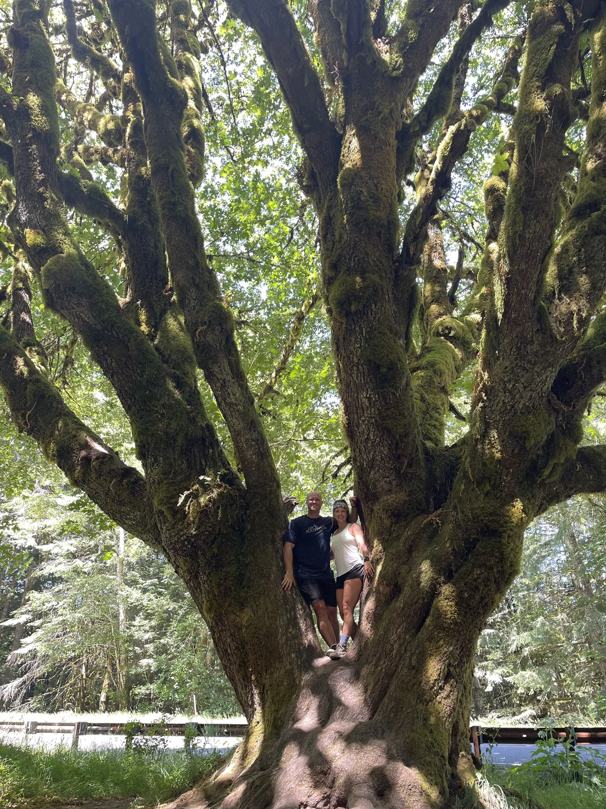
Two hikers stand in the split trunk of a large mossy maple in Olympic National Park
The two of us squeezed into the split in this huge maple. · Jul 3, 2021

Why it’s on our list

Olympic feels like visiting three completely different national parks in one. From moss-covered temperate rainforests to rugged Pacific beaches and snow-capped mountains, the diversity of scenery makes this park incredibly unique.

Our favorite moment

Walking through the Hoh Rain Forest, seeing banana slugs, and taking in the views from Hurricane Ridge.

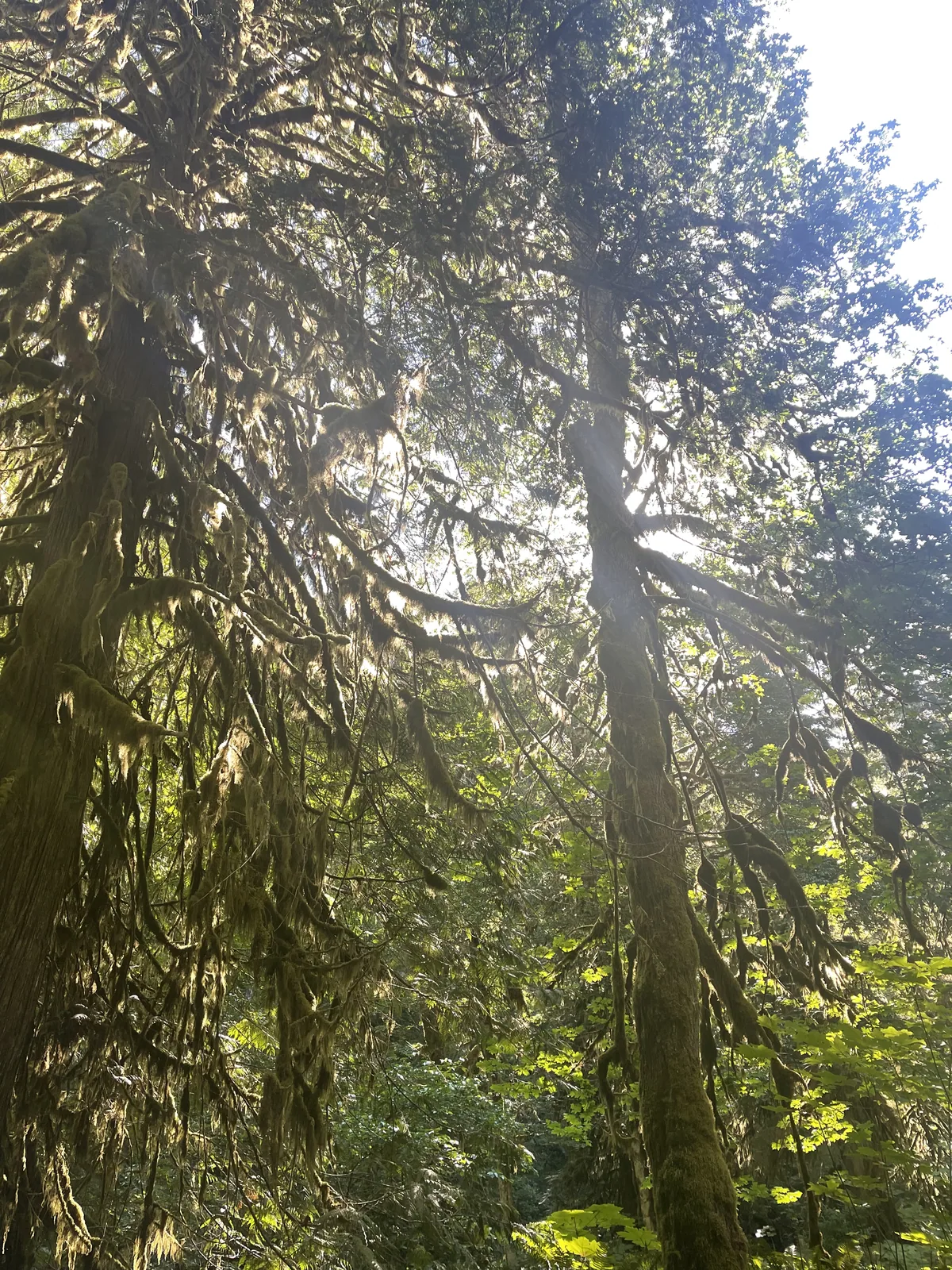
Sunlight breaks through moss-draped trees in a temperate rainforest in Olympic National Park
A little sun made it through the moss and branches overhead. · Jul 3, 2021
See all 51 photos and videos
When we went
July 2021

Photos by David & Keri New.

Firsthand · David & Keri New

What we’d tell a friend about Olympic

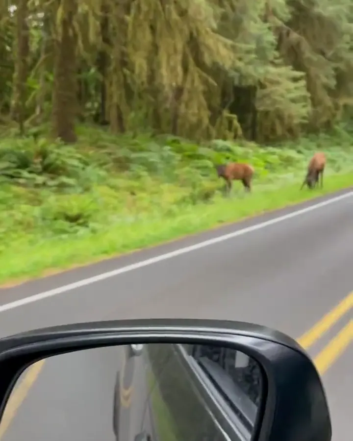
Olympic is like three parks in one: snowy peaks at Hurricane Ridge, mossy rainforest at the Hoh and a wild Pacific coast. We climbed Mount Storm King above the deep blue of Lake Crescent, walked the Hall of Mosses and saw elk grazing by the road.

  • Jul 3, 2021 · Tent · about 1 night
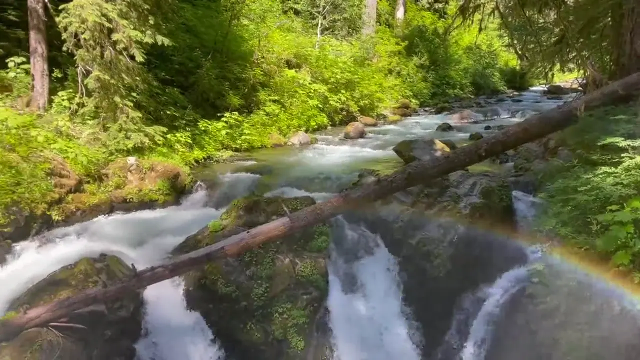
Sol Duc Falls splits into channels and pours into a mossy gorge, with a faint rainbow
Sol Duc Falls · our video
Elk graze on the grass beside a road through a mossy forest
Elk by the road · our video
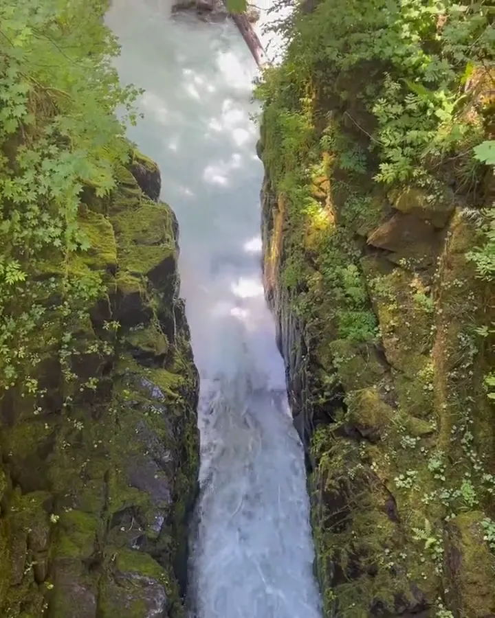
A creek rushes through a narrow gorge thick with moss
Mossy gorge · our video
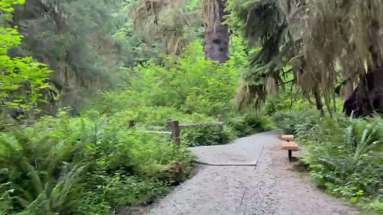
A trail winds between moss-draped trees in the Hoh Rain Forest
Hoh Rain Forest trail · our video
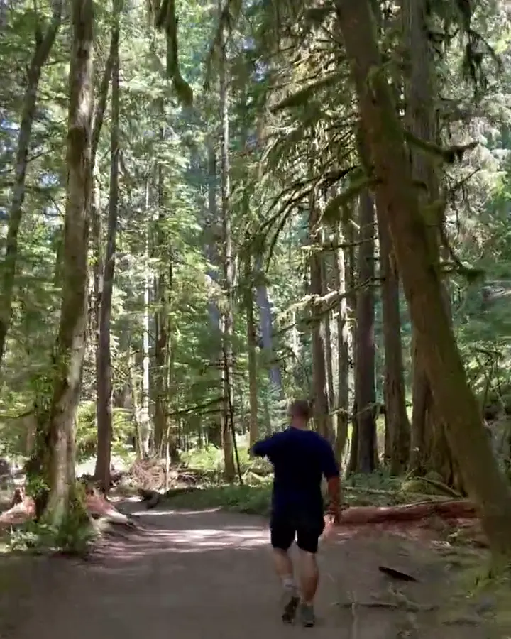
A hiker jogs a sunlit path through a tall evergreen forest
Forest path · our video
See all 51 photos and videos

Our favorite hike

Hall of Mosses

This was the most Olympic moment for us. It’s an easy 0.8-mile loop under giant maples draped in moss, the rainforest the park is known for.

Also: Mount Storm King. We climbed Mount Storm King above Lake Crescent. There are pictures of Keri hiking up Storm King on the rope.

Also: Sol Duc Falls. We hiked Sol Duc Falls and Marymere Falls.

Also: Marymere Falls. We hiked Sol Duc Falls and Marymere Falls.

Also: Ruby Beach. We made it out to Ruby Beach, but when we got there it was a little overcast.
Our one tip

If you only have one day, make the Hoh Rainforest the anchor. In summer the entrance line can run up to two hours, so arrive before 8 AM or after 5 PM, and check road conditions first.

What we’d do differently

We needed more days. The mountains, the rainforest and the coast are hours apart, and it’s easy to underestimate the driving.

With one more day

We’d walk Rialto Beach out to Hole-in-the-Wall at low tide.

Was it a good time to go?

Fourth of July weekend is about as busy as it gets, with a long line at the Hoh entrance and crowds at Hurricane Ridge and on the trails. The weather was warm and clear, which is typical for July, one of the driest months on the peninsula. We made it out to Ruby Beach, but when we got there it was a little overcast.

In town

Port Angeles is the main base for Hurricane Ridge and Lake Crescent. Forks, of Twilight fame, is the gateway to the Hoh and the coast. We went through Forks and spent a little time there. It was a pretty cool town.

Where we stayed

Fairholme Campground (Lake Crescent)

Jul 3, 2021 · Tent · about 1 night

David 9/10Keri 8/10

The campground was awesome. It was right beside the water and very peaceful. We put out our hammocks, and all around it was just an amazing time.

Entry and best time to visit

Entry

No entry reservation required

You still need an entrance pass: $30 per vehicle, good for 7 days.

Fees and permits

Best time

July, August

July-August are driest with broad access. September stays strong, while wet winters favor forests and limited snow outings.

Month by month

Live conditions and planning tools →

Itineraries

How many days in Olympic?

  • 1 day

    Suggested 1-day route: day 1: Marymere Falls, Hurricane Ridge.

    1. Day 1 A morning in the Hoh Rain Forest
    Full 1-day plan
  • 2 days

    Suggested 2-day route: day 1: Hurricane Ridge, Marymere Falls; day 2: Rialto Beach, Hall of Mosses, Spruce Nature Trail.

    1. Day 1 Hurricane Ridge → Marymere Falls
    2. Day 2 Rialto Beach → Hall of Mosses → Spruce Nature Trail
    Full 2-day plan
  • 3 daysOur pick

    Suggested 3-day route: day 1: Hurricane Ridge, Hurricane Hill, Marymere Falls; day 2: Rialto Beach, Hall of Mosses, Spruce Nature Trail; day 3: Ruby Beach, Beach 4, Kalaloch.

    1. Day 1 Hurricane Ridge → Hurricane Hill → Marymere Falls
    2. Day 2 Rialto Beach → Hall of Mosses → Spruce Nature Trail
    3. Day 3 Ruby Beach → Beach 4 → Kalaloch
    Full 3-day plan
  • 5 days

    Suggested 5-day route: day 1: Hurricane Ridge, Hurricane Hill; day 2: Marymere Falls, Sol Duc Falls; day 3: Rialto Beach, Hall of Mosses, Spruce Nature Trail; day 4: Ruby Beach, Beach 4, Kalaloch; day 5: Maple Glade Trail, Kestner Homestead Trail.

    1. Day 1 Hurricane Ridge → Hurricane Hill
    2. Day 2 Marymere Falls → Sol Duc Falls
    3. Day 3 Rialto Beach → Hall of Mosses → Spruce Nature Trail
    4. Day 4 Ruby Beach → Beach 4 → Kalaloch
    5. Day 5 Maple Glade Trail → Kestner Homestead Trail
    Full 5-day plan

Olympic itinerary: every day stop by stop, with sources

Compare the 1-, 2-, 3- and 5-day plans, day by day →

Map

Where things are in Olympic

5 visitor centers and 6 of the 14 campgrounds on a map you can zoom and drag. Map data loads from OpenStreetMap when you tap.

Olympic’s US 101 loop and spur roads: schematic, not to scale Port AngelesHurricane RidgeDeer ParkStaircaseAberdeenQuinaultKalalochRuby BeachHohForksRialto BeachOzetteSol DucLake Crescent
Schematic, not to scale

5 visitor centers

Locations from the NPS visitor-center listing, checked Nov 13, 2026. Hours and what each one has

6 of 14 campgrounds mapped

Locations from Recreation.gov, checked Nov 7, 2026. Not on this map: Queets, Ozette, Mora, North Fork, South Beach, Graves Creek, Heart O’ the Hills and Deer Park (no Recreation.gov location in our data). Compare all 14 campgrounds

Official NPS maps for Olympic (opens in a new tab) ↗

Trails

11 hikes, shortest first

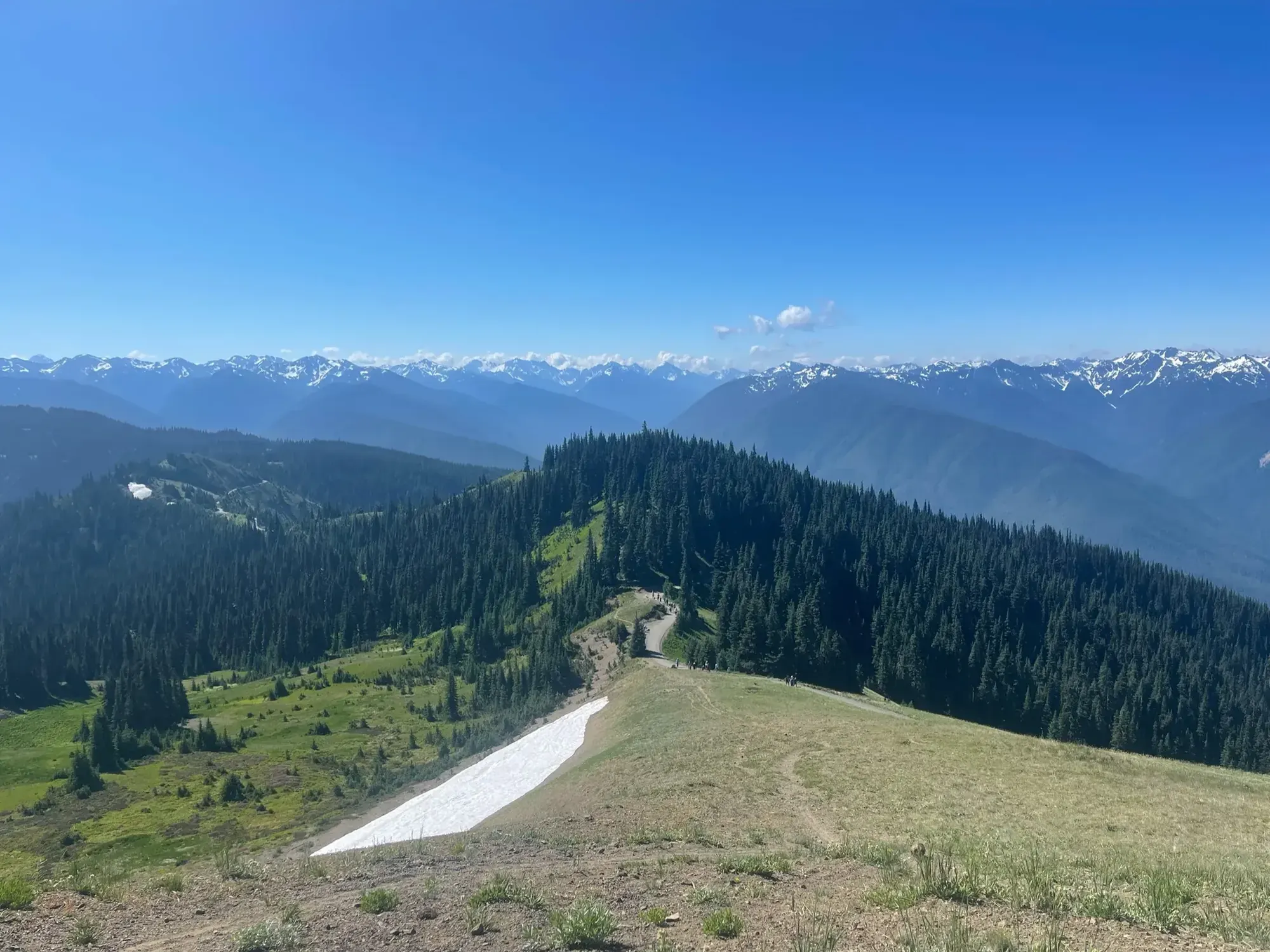
A trail on Hurricane Ridge with the Olympic Mountains beyond
A trail on Hurricane Ridge with the Olympic Mountains beyond · Jul 2021
  1. Ruby Beach0.2 mi one way · Short descent gain · Not rated

    0.2 mi

    Details for Ruby Beach

    Only the viewpoint is accessible.

    Out and back
    Start: Ruby Beach parking area

    Last verified · nps.gov
  2. Hall of Mosses (Hoh)0.8 mi loop · Not rated

    0.8 mi

    Details for Hall of Mosses (Hoh)

    Next to the Hoh visitor center. The paved 0.1 mi Mini Trail there is accessible with assistance.

    Loop · About 15 minutes (estimated)
    Start: Hoh Visitor Center, at the end of Upper Hoh Road

    Last verified · nps.gov
  3. Sol Duc Falls0.8 mi one way · Not rated

    0.8 mi

    Details for Sol Duc Falls

    From the end of Sol Duc Road.

    Out and back
    Start: End of Sol Duc Road

    Last verified · nps.gov
  4. Marymere Falls0.9 mi one way · Not rated

    0.9 mi

    Details for Marymere Falls

    From Storm King Ranger Station; the first 0.5 mi is accessible.

    Out and back
    Start: Storm King Ranger Station at Lake Crescent

    Last verified · nps.gov
  5. Spruce Nature Trail (Hoh)1.2 mi loop · Not rated

    1.2 mi

    Details for Spruce Nature Trail (Hoh)

    Loop
    Start: Hoh Visitor Center, at the end of Upper Hoh Road

    Last verified · nps.gov
  6. Rialto Beach to Hole-in-the-Wall1.5 mi one way · Beach gain · Not rated

    1.5 mi

    Details for Rialto Beach to Hole-in-the-Wall

    Check tides before going farther north.

    Out and back
    Start: Rialto Beach, reached by Mora Road

    Last verified · nps.gov
  7. Hurricane Hill1.6 mi one way · About 700 ft gain · Not rated

    1.6 mi

    Details for Hurricane Hill

    Rough paved trail; the first 0.5 mi is wheelchair accessible.

    Out and back · About 1.5 hours (estimated)
    Start: Hurricane Hill Trailhead, at the end of Hurricane Hill Road

    Last verified · nps.gov
  8. Staircase Rapids Loop2 mi loop · Not rated

    2 mi

    Details for Staircase Rapids Loop

    Starts near the Staircase Ranger Station and crosses the Skokomish River. Open since July 8, 2026; other Staircase trails remain closed after the Bear Gulch Fire.

    Last verified · nps.gov
  9. Mount Storm King2.1 mi one way · 2,100 ft gain · Not rated

    2.1 mi

    Details for Mount Storm King

    Off the Marymere Falls trail.

    Out and back · About 2.5 hours (estimated)
    Start: Turnoff from the Marymere Falls Trail

    Last verified · nps.gov
  10. Spruce Railroad Trail4 mi one way · Not rated

    4 mi

    Details for Spruce Railroad Trail

    Along Lake Crescent; pets and bikes allowed, with a paved wheelchair-accessible extension.

    One way (point to point) · About 1.25 hours (estimated)
    Start: East: Lyre River/East Beach Road; west: North Shore Picnic Area/Camp David Jr. Road

    Last verified · nps.gov
  11. Cape Alava / Sand Point loop (Ozette)9 mi loop · Not rated

    9 mi

    Details for Cape Alava / Sand Point loop (Ozette)

    Partly on boardwalk, with 2.9 mi of beach between the trails. Tide-dependent.

    Loop
    Start: Near Ozette Ranger Station

    Last verified · nps.gov

Distances, gains and difficulty as NPS publishes them; the bar shows the published distance, dashed where a longer option exists.

Camping

12 campgrounds in Olympic

Open in season
12
A night
$15–$24
Sites
719
With hookups
0
  • KalalochSee dates · $24 a night · RVs to 35 ft at a few sites, trailers to 21 ft
  • QueetsSee dates · $15 a night
  • OzetteSee dates · $20 a night · rigs to 21 ft
  • MoraSee dates · $24 a night · RVs to 35 ft, trailers to 21 ft
  • North ForkSee dates · $20 a night
  • South BeachSee dates · $15 a night

Camping in and near Olympic: all 12 campgrounds, every site, nearby campgrounds and open sites for your dates

Fees, permits & rules

Olympic entrance fee: $30 per vehicle, plus permits and when to book

Last verified · nps.gov All Olympic fees, permits and booking deadlines →

Rules and changes for 2026

  1. Wilderness permits in advance only

    All wilderness camping permits must be reserved on Recreation.gov before the trip; trailhead permits are not available. $6 reservation fee per permit plus $8 per adult (16+) per night.

    Last verified · Wilderness Reservations - Olympic (NPS)
  2. Hurricane Ridge construction

    A 2026 project is replacing the water system and upgrading utilities at Hurricane Ridge. No potable water is available on the ridge; expect temporary, rolling closures for paving and striping. The day lodge burned in 2023; temporary trailers provide restrooms and a visitor contact station.

    Last verified · Alerts & Conditions - Olympic (NPS)
  3. Hurricane Ridge winter road rules

    Winter 2026-27 operations start Nov 28, 2026: uphill traffic typically Friday-Sunday and some holidays, 9 am-4 pm (may open as late as noon; closed Dec 25). All vehicles, including 4WD, must carry tire chains above the Heart O’ the Hills entrance station from after Thanksgiving through April 1, and must be back below that station by 5 pm. No food, water, warming area or gear rental on the ridge.

    Last verified · Hurricane Ridge in Winter - Olympic (NPS)
3 more rules and changes
  1. Staircase reopened after Bear Gulch Fire

    The Staircase developed area (campground, ranger station, Staircase Rapids Loop) reopened July 8, 2026 after a year-long closure. Wilderness trails beyond it stay closed, including Shady Lane, North Fork Skokomish beyond the Rapids Loop, Four Stream, Flapjack Lakes and Black and White Lakes.

    Last verified · Fire Conditions and Updates - Olympic (NPS)
  2. Hoh River Bridge on US 101: one lane

    WSDOT’s emergency repair of the Hoh River Bridge (south of Forks) is complete after the Sept-Oct 2026 closures. One lane stays open with temporary signals alternating traffic and a 25 mph limit until a permanent repair is made; the project runs into 2028. No 2027 closures are posted yet (WSDOT, checked Nov 2026).

    Last verified · US 101 Hoh River Bridge Emergency Repair (WSDOT)
  3. Elwha roads closed to vehicles

    Olympic Hot Springs Road and Whiskey Bend Road have been closed to vehicles since a 2021 washout; open to walkers, bikes and leashed dogs. The Madison Falls parking area is open. Dosewallips Road is closed to vehicles too (washout outside the park).

    Last verified · Current Road Conditions - Olympic (NPS)

Crowds by month

Historical recreation visits · 2021–2025 · as of Nov 3, 2026. Visits count entries, not unique people, parking spaces or trail crowding.

Average monthly recreation visits, 2021–2025
Jan81,950
Feb93,324
Mar133,353
Apr134,215
May247,409
Jun301,287
Jul501,508
Aug625,799
Sep420,210
Oct263,849
Nov177,710
Dec99,558

Busiest by average count: Aug. Quietest: Jan. Each bar is that month’s average visits across 5 years; unusual years and reported zeros are included. Past visits can’t tell you the best time of day to arrive.

Every month’s visits and NOAA weather, with the counts for each year →

NPS Visitor Use Statistics: monthly report · NPS monthly data · checked Nov 3, 2026; latest included year 2025.

How this page is made. The section “What we’d tell a friend” is ours. Our recorded visits to Olympic include July 2021.Planning information, including any fees, permits, closures, weather and crowd figures shown here, is compiled from the National Park Service, Recreation.gov and other public sources, and each fact shows the date we last checked it. If something is wrong, tell us and we’ll log the fix on our corrections page.