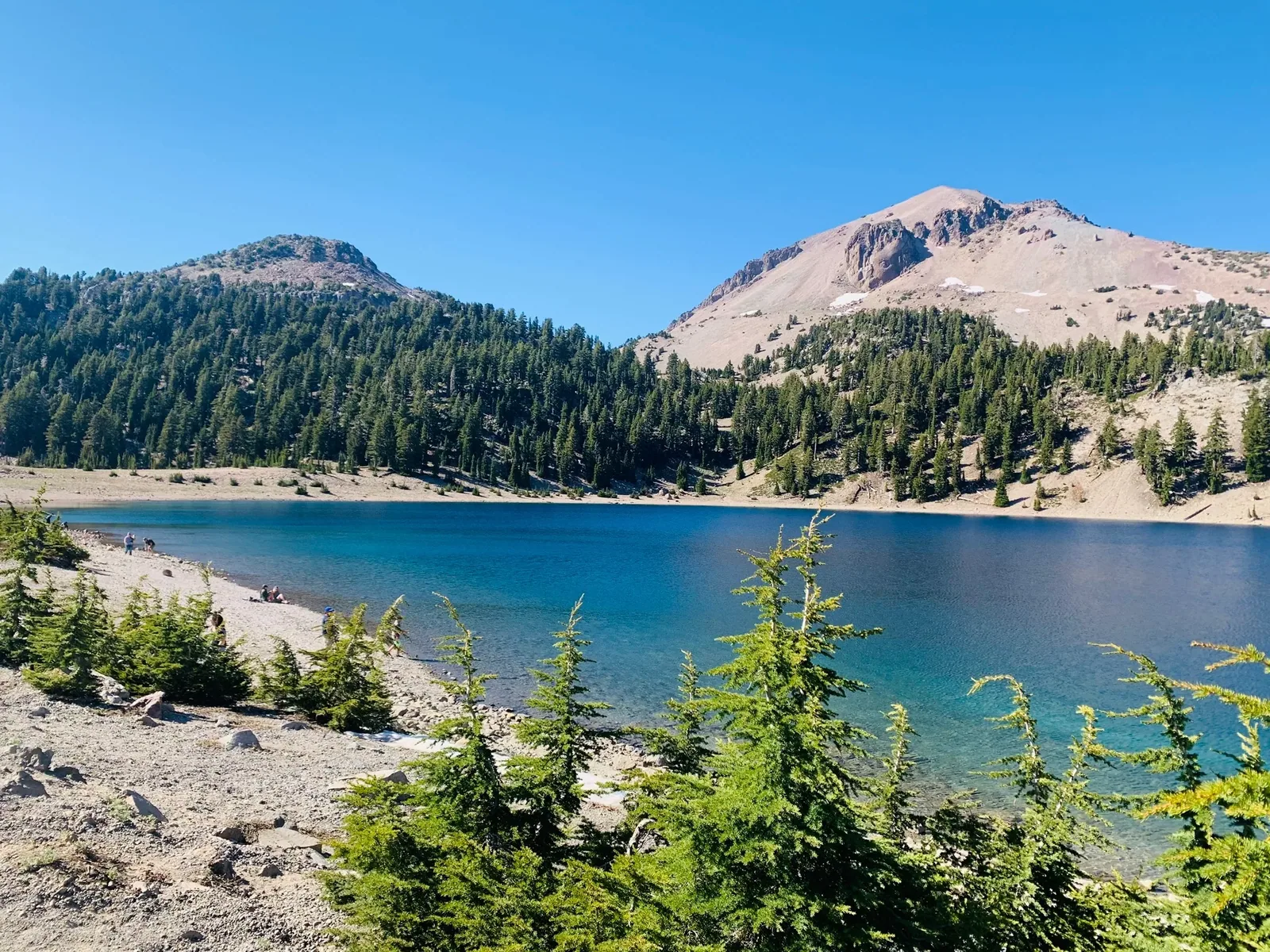
Lassen Peak rises above blue Lake Helen in Lassen Volcanic National Park

California

Lassen Volcanic National Park Guide

All four types of volcano in one park: steaming fumaroles, boiling mudpots and Lassen Peak, the plug-dome volcano that erupted in 1915. A 30-mile highway crosses at 8,512 ft, and snow buries it for half the year.

By David & Keri New, who have visited 63 of the 64 U.S. national parksUpdated

Park 3 of our 63Visited Jul 2020

Your trip planner

Add Lassen Volcanic to a trip

Choose a saved trip or start a new draft for this park.

Saves this park and its trail guides on this device. Alerts and conditions are as of when you save; live maps and bookings need a connection.

Photo: David & Keri New

NPS alertsAs of 6:03 AM ET, Nov 20

Lassen National Park Highway Closed to Vehicle Traffic

  • Juniper Lake Campground Closed
  • EV charging station unavailable
Booking morning · Tuesday, December 1 · About 8 a.m. ET observed June 2027 dates open at Butte Lake Campground. Get a free reminder →

Plan your first trip to Lassen Volcanic

3 days is our starting point.

When the park highway is open through, use the first day for Bumpass Hell and Sulphur Works, the second for Lassen Peak and Lake Helen, and the third for Manzanita Lake and the Devastated Area. Check each trail and the separate roads to Butte Lake and Warner Valley.

Open the 3-day itineraryNPS park conditions

Starts a new draft and keeps your saved trips. Set a custom duration in the full planner.

How many days?

1 day
  1. Bumpass Hell and Sulphur Works

With a few hours, walk the 1.8-mile round-trip Manzanita Lake loop near the northwest entrance. In winter, cars reach only Loomis Plaza on that side and Kohm Yah-mah-nee Visitor Center on the southwest side, so Sulphur Works is not a drive-up stop.

NPS trail conditionsNPS winter accessNational Park Service guidance

Open this day plan
3 days · our pick
  1. Bumpass Hell and Sulphur Works
  2. Lassen Peak and Lake Helen
  3. Manzanita Lake and the Devastated Area
Open this day plan
Compare all trip lengths
Optional add-on

Give Butte Lake its own day for the 4.0-mile round-trip Cinder Cone Trail. Butte Lake is reached by a separate 6-mile dirt road off SR-44, 31 miles from the northwest entrance. The road is not maintained in winter, roughly November to April.

National Park Service guidanceNPS trail conditionsOpen the 5-day itinerary

If plans change

If the high road or Bumpass Hell is closed, make the day a southwest visit to Kohm Yah-mah-nee and Sulphur Works when pedestrian access is allowed. For a northwest approach, check Manzanita Lake and its shore trail instead. Use roads outside the park to change sides when the highway is closed through.

NPS park conditionsLassen park highway access for hikersNPS trail conditions

Check what’s open

Where to base yourself

Mineral for the southwest or Shingletown for Manzanita Lake

Mineral suits a start at Kohm Yah-mah-nee and the southwest trailheads. Shingletown suits a northwest entrance day. When the high road is closed, choose your base for the side you will actually visit.

Lodging and gateway townsNPS park conditions

Compare stays and access

Before you book

Check both ends of the main park highway and the Bumpass Hell trail status before committing to a base or campground. A campground in a separate district needs its own access check.

NPS park conditionsNPS trail conditionsLodging and gateway towns

Getting there and getting around

Use SR-44/89 for the northwest entrance or SR-36/89 for the southwest entrance. There is no public transportation. Snow closes the 30-mile park highway to through traffic, typically from mid- to late November, and outside roads link the two sides.

NPS directionsNational Park Service guidanceNPS winter access

Our visit

Park 3 of our 63

Where Lassen Volcanic ranks in our 63

July 2020

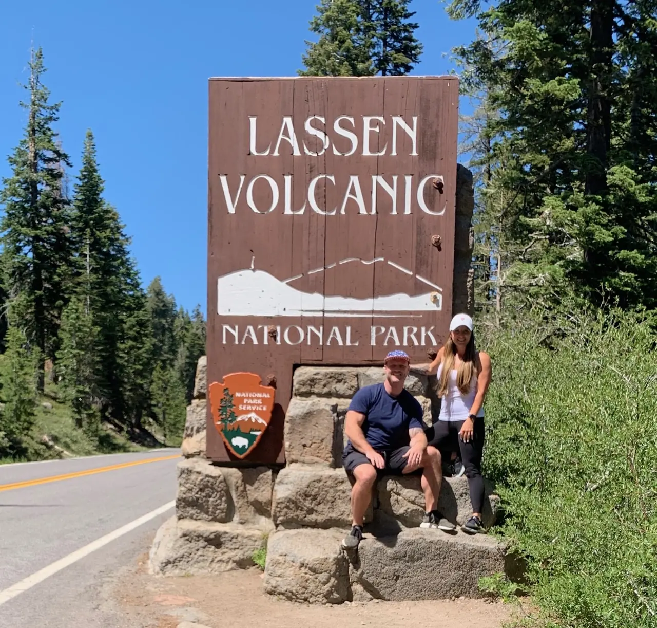
David and Keri at the Lassen Volcanic entrance sign
We were hereJul 3, 2020
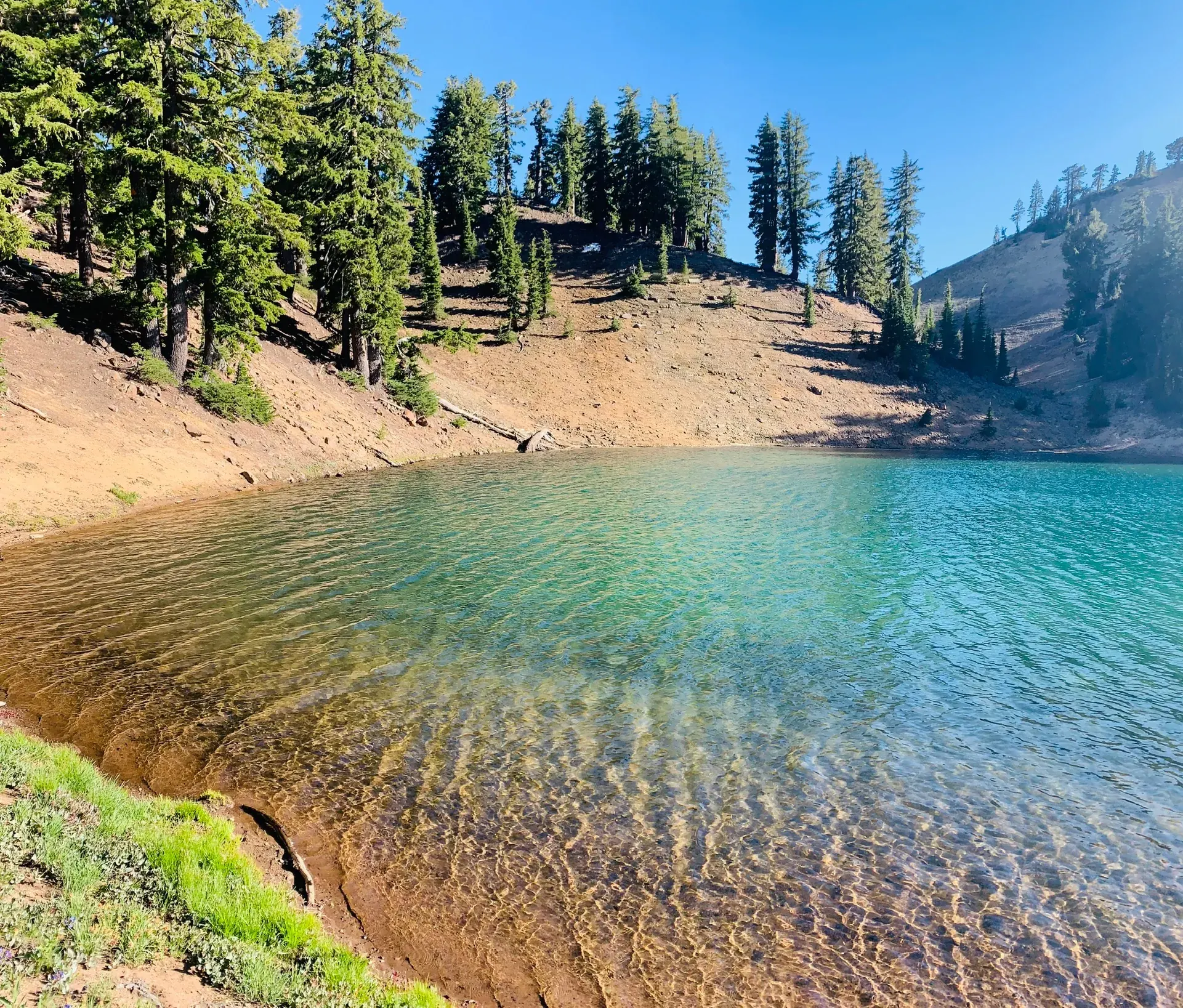
A clear turquoise lake shore ringed by pines in Lassen Volcanic National Park
Clear green water with the trees right up against the shore. · Jul 3, 2020
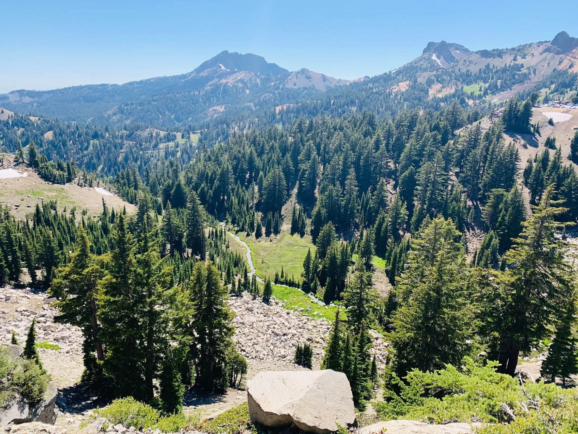
Forested valleys and volcanic peaks under a blue sky in Lassen Volcanic National Park
Looking across the forested slopes toward the peaks at Lassen. · Jul 3, 2020
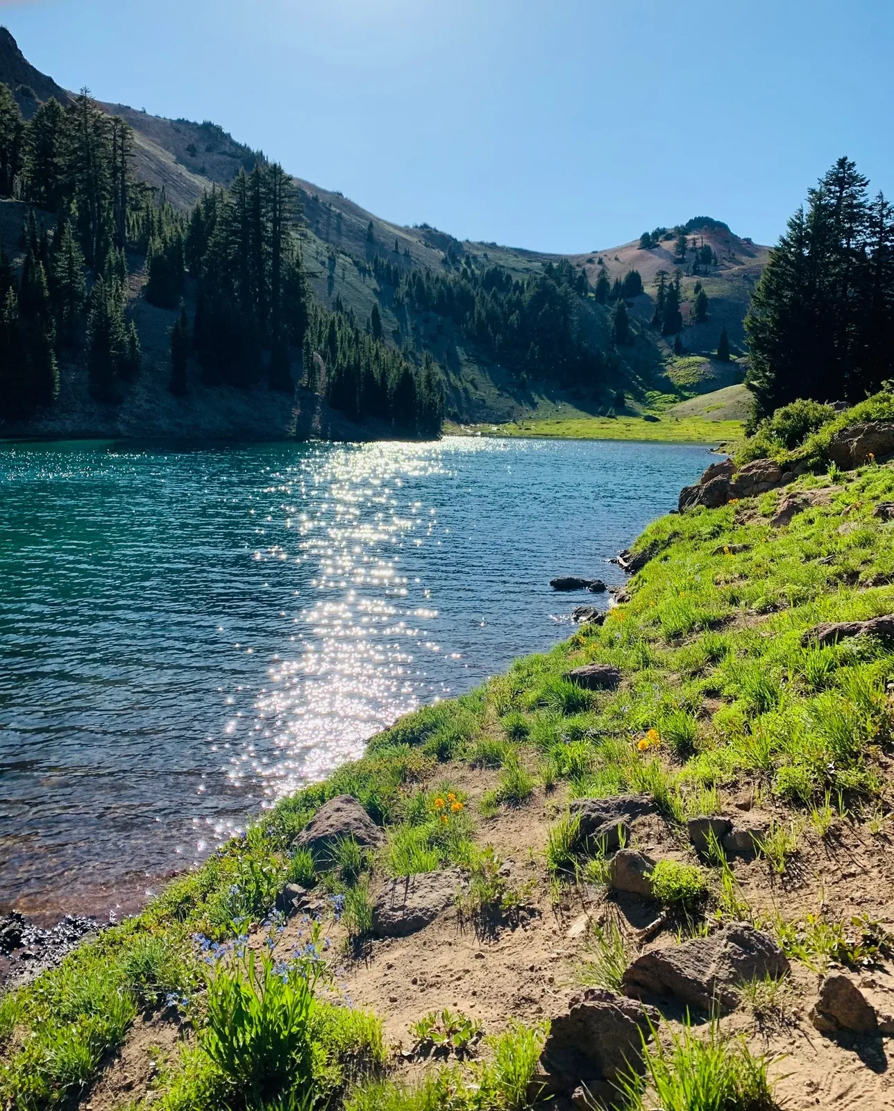
Lassen Peak with lake in Lassen Volcanic
Sun glinting off the water along a grassy lake shore. · Jul 3, 2020
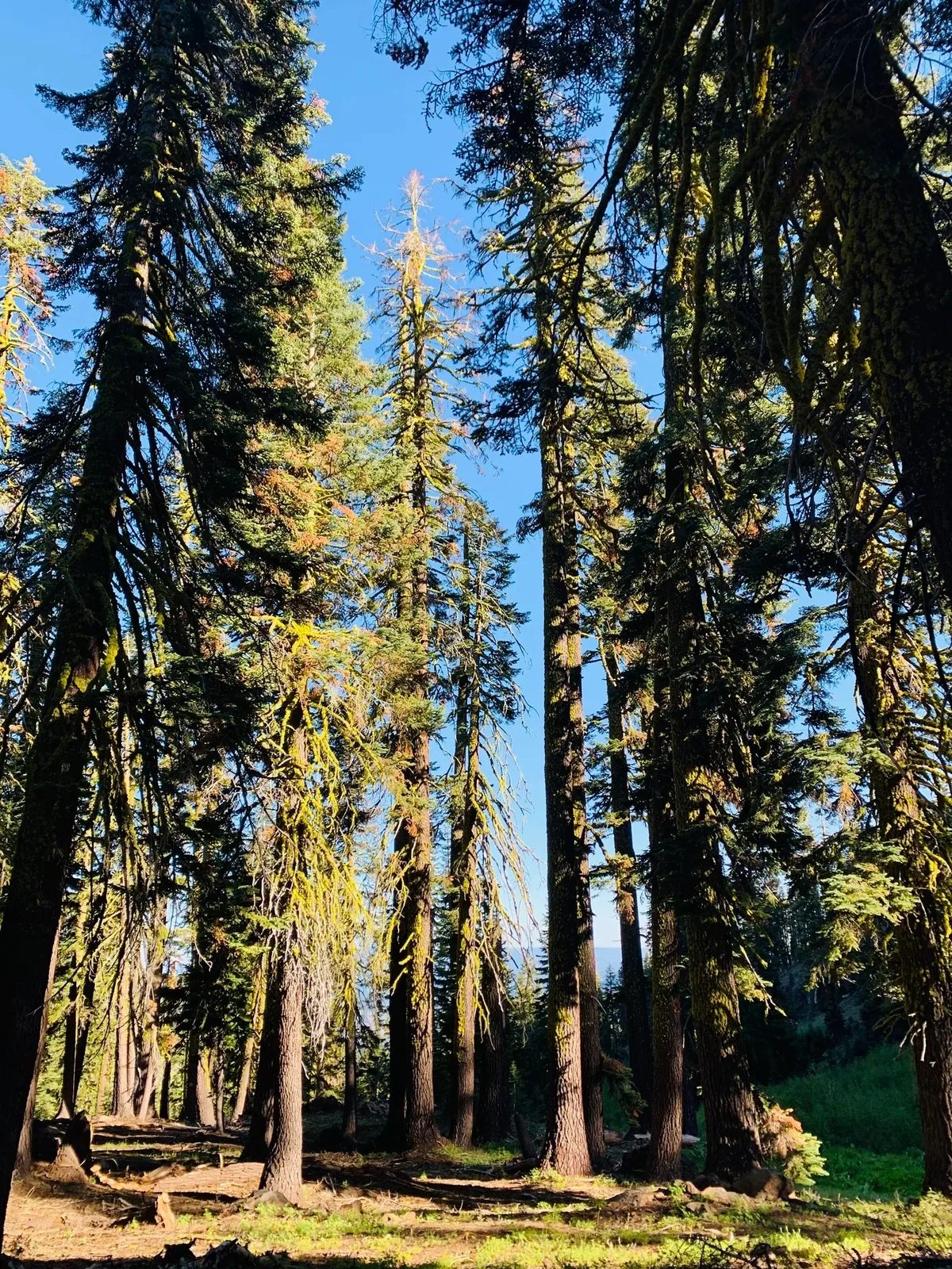
Tall conifers flank a sunny path in Lassen Volcanic National Park
A sunny path between tall conifers in Lassen. · Jul 3, 2020
Second strong Lassen Peak / water frame in Lassen Volcanic
Another look at Lassen Peak across Lake Helen. · Jul 3, 2020
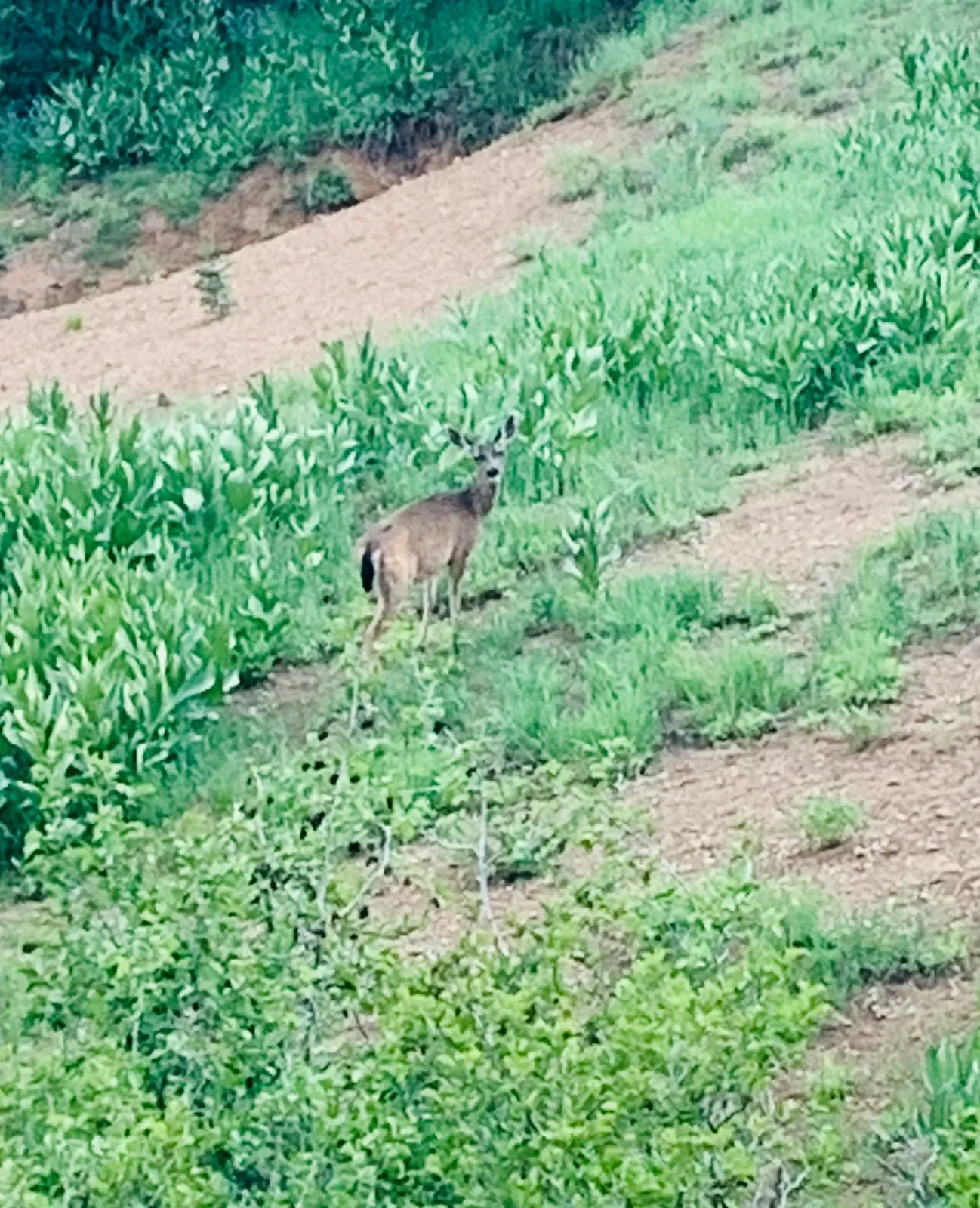
A deer stands in green brush on a hillside in Lassen Volcanic National Park
A deer in the green brush on a hillside at Lassen. · Jul 3, 2020

Why it’s on our list

Lassen Volcanic is one of the more underrated national parks, offering an impressive combination of volcanic landscapes, beautiful alpine lakes, and geothermal activity. From bubbling mud pots to steaming vents and colorful mountain scenery, there’s plenty to explore. While it doesn’t quite match the scale of Yellowstone’s geothermal attractions, it offers a rewarding experience with far fewer crowds.

Our favorite moment

Walking through Bumpass Hell, hiking Lassen Peak, and exploring Manzanita Lake.

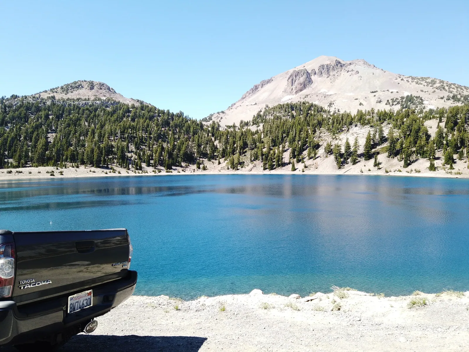
Lake and peak, different angle in Lassen Volcanic
A roadside look across Lake Helen toward Lassen Peak. · Jul 3, 2020
See all 17 photos and videos
When we went
July 2020

Photos by David & Keri New.

Firsthand · David & Keri New

What we’d tell a friend about Lassen Volcanic

Think of Lassen as a quieter Yellowstone in the middle of Northern California. You get a steaming volcanic basin, blue alpine lakes and a volcano you can actually climb. We went over Fourth of July weekend, and snow was still hanging on near the peak.

  • Jul 3, 2020 · Day trip
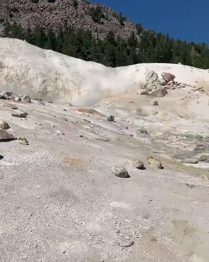
A boardwalk crosses pale steaming ground in a volcanic basin
The Bumpass Hell boardwalk · our video
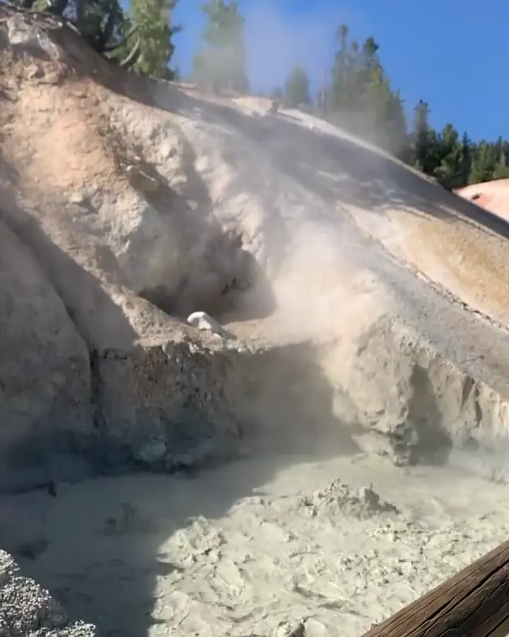
Steam pours from a vent on pale volcanic ground
Steaming vent · our video
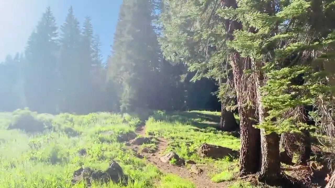
Sunbeams fall across a green meadow edged by tall conifers
Sunlit meadow · our video
See all 17 photos and videos

Our favorite hike

Bumpass Hell Trail

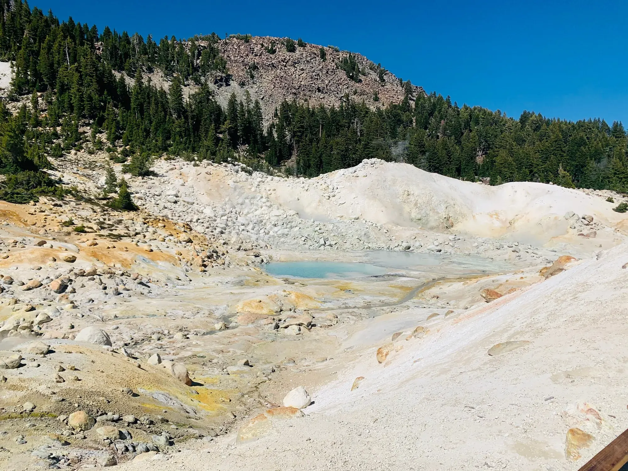
An easy walk across a ridge drops you into a steaming basin, where a boardwalk takes you past boiling pools, mud pots, and bright yellow and turquoise ground. Nowhere else in the park shows you so clearly that Lassen is still an active volcano.
Our one tip

Check the road and trail status before you build a trip around them. Snow can keep the park highway and high trails like Bumpass Hell closed into June or even July.

Was it a good time to go?

Early July worked out well for us. The main park highway was open, there were still patches of snow around Lake Helen, and the sky was a clear blue. Even on a holiday weekend Lassen is one of the quieter parks in California, though the popular trailhead lots can still fill up.

In town

About an hour north, McArthur-Burney Falls Memorial State Park has one of the prettiest waterfalls in California. Redding’s Sundial Bridge is a good stop on the way in.

Entry and best time to visit

Entry

No entry reservation required

You still need an entrance pass: $30 per vehicle, good for 7 days.

Fees and permits

Best time

August, September

Hwy 89 usually fully open late May/June to mid-November. August-September best, July and October good. Winter is snowshoe-only at the two entrances.

Month by month

Live conditions and planning tools →

What’s different now

Official update, not firsthand

Bumpass Hell is closed for snow and ice right now. The trail usually opens by mid-July. Last verified · nps.gov

Lassen Park Highway closed for the season on November 6, 2026. Last verified · nps.gov

Itineraries

How many days in Lassen Volcanic?

  • 1 day

    1. Day 1 Bumpass Hell and Sulphur Works
    Full 1-day plan
  • 2 days

    1. Day 1 Bumpass Hell and Sulphur Works
    2. Day 2 Lassen Peak and Lake Helen
    Full 2-day plan
  • 3 daysOur pick

    1. Day 1 Bumpass Hell and Sulphur Works
    2. Day 2 Lassen Peak and Lake Helen
    3. Day 3 Manzanita Lake and the Devastated Area
    Full 3-day plan
  • 5 days

    1. Day 1 Bumpass Hell and Sulphur Works
    2. Day 2 Lassen Peak and Lake Helen
    3. Day 3 Manzanita Lake and the Devastated Area
    4. Day 4 Butte Lake and Cinder Cone
    5. Day 5 Warner Valley and Boiling Springs Lake
    Full 5-day plan

Lassen Volcanic itinerary: every day stop by stop, with sources

Compare the 1-, 2-, 3- and 5-day plans, day by day →

Map

Where things are in Lassen Volcanic

2 visitor centers and 14 campgrounds on a map you can zoom and drag. Map data loads from OpenStreetMap when you tap.

Lassen’s Park Highway and remote-area roads: schematic, not to scale ShingletownManzanita LakeOld StationButte LakeDevastated AreaSummit LakeKings CreekLassen PeakBumpass HellSouthwestMineralChesterWarner ValleyJuniper Lake
Unpaved Schematic, not to scale

2 visitor centers

Locations from the NPS visitor-center listing, checked Nov 13, 2026. Hours and what each one has

14 campgrounds

Locations from Recreation.gov, checked Nov 7, 2026. Compare the campgrounds

Official NPS maps for Lassen Volcanic (opens in a new tab) ↗

Trails

15 hikes, shortest first

Steam and small blue pools among pale mineral deposits at Bumpass Hell
Steam and small blue pools among pale mineral deposits at Bumpass Hell · Jul 2020
  1. Devastated Area Interpretive Trail0.2 mi loop · Max 5% grade gain · Easy (wheelchair-accessible)

    0.2 mi

    Details for Devastated Area Interpretive Trail

    Exhibits on the 1915 eruption, with motion-activated audio description. 10 mi from the Northwest Entrance.

    Loop · About 15 minutes
    Start: Devastated Area parking area on the park highway, 10 miles from the Northwest Entrance.

    Last verified · nps.gov
  2. Manzanita Lake1.7 mi loop · Negligible gain · Easy

    1.7 mi

    Details for Manzanita Lake

    Views of Lassen Peak and Chaos Crags, open year-round (snow possible through April). Parking is easiest at the boat launch.

    Loop · About 30–90 minutes
    Start: Loomis Plaza or Manzanita Lake Picnic Area/Boat Launch, off Manzanita Lake Campground Road.

    Last verified · nps.gov
  3. Ridge Lakes2 mi round trip · 1,045 ft gain · Strenuous (steep)

    2 mi

    Details for Ridge Lakes

    Two small alpine lakes between Brokeoff Mountain and Mount Diller, 1-1.5 hours. Starts at Sulphur Works.

    Out and back · About 1–1.5 hours
    Start: North side of Sulphur Works parking area, next to the restrooms on the park highway.

    Last verified · nps.gov
  4. Kings Creek Falls2.3 mi loop · About 700 ft descent (return climb) gain · Moderate

    2.3 mi

    Details for Kings Creek Falls

    Return via the steep, narrow stone staircase of the Cascades Foot Trail. Partly open while repairs continue.

    Loop · About 2 hours
    Start: Kings Creek Falls Trailhead on the park highway, approximately 12 miles from the Southwest Entrance.

    Last verified · nps.gov
  5. Hat Lake to Paradise Meadows2.8 mi round trip · 700 ft gain · Moderate

    2.8 mi

    Details for Hat Lake to Paradise Meadows

    Climbs gradually along a creek to a cliff-ringed meadow, about 2 hours. No potable water at the trailhead.

    Out and back · About 2 hours
    Start: Hat Lake parking area on the park highway; cross the road to the marked trailhead.

    Last verified · nps.gov
  6. Bumpass Hell3 mi round trip · 300 ft descent into the basin, then climb back out (NPS detailed route and accessibility description) gain · Moderate

    3 mi

    Details for Bumpass Hell

    The largest hydrothermal area in the park, with boardwalks. Snow controls opening; parking often fills mid-morning. NPS also gives a conflicting 200-ft descent in its summary; confirm with the park if the climb affects your plans.

    Out and back · About 2 hours
    Start: Bumpass Hell parking area on the park highway.

    Last verified · nps.gov
  7. Boiling Springs Lake3 mi round trip · 200 ft gain · Easy

    3 mi

    Details for Boiling Springs Lake

    A lake kept around 125°F by steam vents, with some of the park’s best mudpots. Starts near Warner Valley Campground, about 2 hours.

    Lollipop loop · About 2 hours
    Start: Parking area west of Warner Valley Campground.

    Last verified · nps.gov
  8. Mill Creek Falls3.8 mi round trip · 925 ft each way (1,850 ft total) gain · Moderate

    3.8 mi

    Details for Mill Creek Falls

    The park’s tallest waterfall (75 ft), 2.5-3 hours. Rocky and narrow, with creek crossings and burn hazards. Starts behind the amphitheater by the southwest parking area.

    Out and back · About 2.5–3 hours
    Start: Behind the amphitheater adjacent to the southwest parking area.

    Last verified · nps.gov
  9. Mount Harkness3.8 mi round trip · 1,250 ft gain · Strenuous

    3.8 mi

    Details for Mount Harkness

    To a fire lookout, about 3 hours. Starts at the Juniper Lake Ranger Station; no potable water in the Juniper Lake area.

    Out and back · About 3 hours
    Start: Historic trailhead: parking north of Juniper Lake Ranger Station; follow the campground road and bear left. See closure note.

    Last verified · nps.gov
  10. Terrace, Shadow & Cliff LakesUp to 4 mi round trip · Down 300-650 ft (climb on return) gain · Moderate

    up to 4 mi

    Details for Terrace, Shadow & Cliff Lakes

    Three lakes beneath Reading Peak; holds snow later than most trails. Turnout 9 mi from the Southwest Entrance.

    Out and back · About Terrace: 1 hour; Shadow: 1.5 hours; Cliff: 3 hours
    Start: Park highway turnout 9 miles from the Southwest Entrance and 21 miles from the Northwest Entrance.

    Last verified · nps.gov
  11. Devils Kitchen4.2 mi round trip · 440 ft gain · Moderate

    4.2 mi

    Details for Devils Kitchen

    The park’s second-largest hydrothermal area, through Warner Valley meadows and forest, about 2 hours.

    Lollipop loop · About 2 hours
    Start: Warner Valley Trailhead; follow Warner Valley Road from Chester past Warner Valley Campground to the trailhead turnoff.

    Last verified · nps.gov
  12. Echo Lake4.4 mi round trip · 416 ft gain · Easy to moderate

    4.4 mi

    Details for Echo Lake

    From the Summit Lake Ranger Station, 2-3 hours.

    Out and back · About 2–3 hours
    Start: Summit Lake Ranger Station Trailhead, 17 miles north of the Southwest Entrance on the park highway.

    Last verified · nps.gov
  13. Lassen Peak5 mi round trip · 1,957 ft gain · Strenuous

    5 mi

    Details for Lassen Peak

    Climbs from 8,500 ft to the summit of one of the world’s largest plug-dome volcanoes, 4-5 hours. Exposed: avoid if thunderstorms threaten.

    Out and back · About 4–5 hours
    Start: Lassen Peak parking area on the park highway.

    Last verified · nps.gov
  14. Terminal Geyser5.8 mi round trip · 610 ft gain · Moderate

    5.8 mi

    Details for Terminal Geyser

    Steam vent reached via the Pacific Crest Trail from Warner Valley, 2.5-3 hours.

    Out and back · About 2.5–3 hours
    Start: Warner Valley Trailhead; follow Warner Valley Road from Chester past Warner Valley Campground to the trailhead turnoff.

    Last verified · nps.gov
  15. Brokeoff Mountain7.4 mi round trip · About 2,600 ft (6,635 to 9,235 ft) gain · Strenuous

    7.4 mi

    Details for Brokeoff Mountain

    One of the toughest and most rewarding trails, about 6 hours. Usually too snowy before mid-July.

    Out and back · About 6 hours
    Start: Brokeoff Mountain parking lot near the Southwest Entrance.

    Last verified · nps.gov

Distances, gains and difficulty as NPS publishes them; the bar shows the published distance, dashed where a longer option exists.

Camping

7 campgrounds in Lassen Volcanic

Open in season
7
A night
$12–$26
With hookups
0
  • Southwest Walk-inOpen all year · rigs to 36 ft
  • Manzanita LakeSee dates · $15–$26 a night · rigs to 40 ft
  • Summit Lake NorthSee dates · $24 a night
  • Summit Lake SouthSee dates · $15–$22 a night
  • Butte LakeSee dates · $15–$22 a night · rigs to 35 ft
  • Warner ValleySee dates · $21 a night

Camping in and near Lassen Volcanic: all 7 campgrounds, every site, nearby campgrounds and open sites for your dates

Fees, permits & rules

Lassen Volcanic entrance fee: $30 per vehicle, plus permits and when to book

Last verified · nps.gov All Lassen Volcanic fees, permits and booking deadlines →

Rules and changes for 2026

  1. Highway closed to through traffic

    As of late October 2026, Hwy 89 through the park is closed by snow and fallen rock. You can drive 1 mile from the Northwest Entrance to Loomis Plaza, or 1 mile from the Southwest Entrance to Sulphur Works.

    Last verified · NPS alert (park home page)
  2. Juniper Lake Campground closed

    Juniper Lake Campground and day-use area remain closed for maintenance and improvements; the road and trailheads are open. The 2027 campground reopening status is not announced yet (NPS, checked Nov 2026).

    Last verified · NPS alert
  3. EV charger out of service

    The EV charging station is out of service, with no repair timeline (NPS active alert, checked Nov 1, 2026). Use this alert over the directions page’s year-round availability claim.

    Last verified · NPS alert
2 more rules and changes
  1. Dixie Fire burn areas

    The eastern park (Summit Lake, Butte Lake, Warner Valley, Juniper Lake) burned in the 2021 Dixie Fire. Watch for falling trees, hidden stump holes and unmarked trails, and obey CLOSED signs. Trails west of the highway weren’t affected.

    Last verified · Burned Area Safety (NPS)
  2. No bear spray, drones or snowmobiles

    Bear pepper spray isn’t permitted in the park. Flying drones and snowmobiling are also prohibited.

    Last verified · Safety & regulations (NPS)

Crowds by month

Historical recreation visits · 2021–2025 · as of Nov 3, 2026. Visits count entries, not unique people, parking spaces or trail crowding.

Average monthly recreation visits, 2021–2025
Jan8,093
Feb7,160
Mar6,998
Apr11,344
May33,897
Jun77,194
Jul107,728
Aug60,701
Sep50,271
Oct37,677
Nov9,727
Dec6,677

Busiest by average count: Jul. Quietest: Dec. Each bar is that month’s average visits across 5 years; unusual years and reported zeros are included. Past visits can’t tell you the best time of day to arrive.

Every month’s visits and NOAA weather, with the counts for each year →

NPS Visitor Use Statistics: monthly report · NPS monthly data · checked Nov 3, 2026; latest included year 2025.

How this page is made. The section “What we’d tell a friend” is ours. Our recorded visits to Lassen Volcanic include July 2020.Planning information, including any fees, permits, closures, weather and crowd figures shown here, is compiled from the National Park Service, Recreation.gov and other public sources, and each fact shows the date we last checked it. If something is wrong, tell us and we’ll log the fix on our corrections page.

Sources & corrections

The core guide research was last verified Nov 20, 2026 against the linked National Park Service and Recreation.gov pages. Live conditions and separately sourced facts show their own dates. Park rules change; confirm before you go.

Report a correction · Corrections log

Photos: David & Keri New.

Where sources disagree (4)
  • Bumpass Hell: the detailed route and accessibility sections give a 300-ft descent, used here; the same page summary says 200 ft. Confirm with the park if this affects your hike: https://www.nps.gov/thingstodo/hikebumpasshell.htm
  • Summit Lake North: NPS campground data prohibits RVs/trailers, while the narrative restricts only South. North eligibility remains unclear; confirm with the park before booking: https://www.nps.gov/lavo/planyourvisit/summit-lake-campground.htm ; https://www.nps.gov/lavo/structured_data_lavo.json
  • Operating schedules: the human-readable hours page lists 2026 dates; NPS linked data gives projected 2027 campground dates and different winter visitor-center hours. The 2026 campground dates also differ from the individual campground data. Historical dates here follow the operating-hours page; 2027 projections follow linked data. Confirm with the park: https://www.nps.gov/lavo/planyourvisit/hours.htm ; https://www.nps.gov/lavo/lavo_linked_data.json
  • NPS camping and permit pages disagree on whether Warner Valley reservations are mandatory; Recreation.gov offers reservations without settling that question. Confirm with the park.