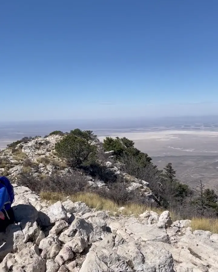
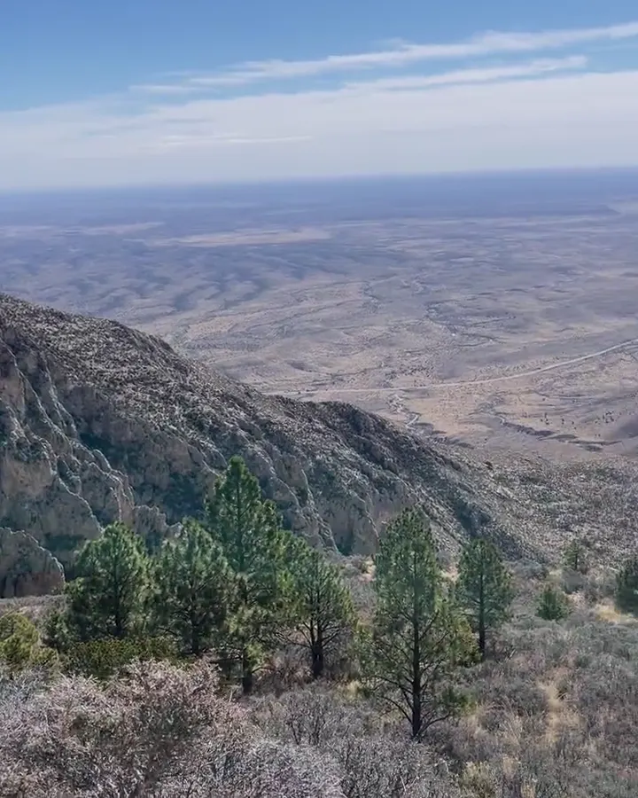
Rugged desert ridges and canyons fall away toward the plains from a high trail in Guadalupe Mountains National Park

Texas

Guadalupe Mountains National Park Guide

The ‘Top of Texas’ (Guadalupe Peak, 8,751 ft), the fall colors of McKittrick Canyon, and white gypsum dunes, in a largely roadless wilderness park.

By David & Keri New, who have visited 63 of the 64 U.S. national parksUpdated

Park 38 of our 63Visited Mar 2022

Your trip planner

Add Guadalupe Mountains to a trip

Choose a saved trip or start a new draft for this park.

Saves this park and its trail guides on this device. Alerts and conditions are as of when you save; live maps and bookings need a connection.

Photo: David & Keri New

NPS alertsAs of 6:03 AM ET, Nov 20

Devil’s Hall is a Strenuous Hike

  • Park Store To Go Cashless

Plan your first trip to Guadalupe Mountains

1 day is our starting point.

Start in McKittrick Canyon with Pratt Cabin and the Grotto if time and conditions allow. Give Guadalupe Peak its own day from Pine Springs only if the group wants the climb and the forecast supports it.

Open the 2-day itineraryNational Park Service guidanceNational Park Service guidance

Before choosing 2 days · Check the forecast, wind and trail alerts before starting. Carry all the water you need. If conditions make the climb unsuitable, skip the summit and use an open lower-elevation trail.

Starts a new draft and keeps your saved trips. Set a custom duration in the full planner.

How many days?

1 day · our pick
  1. McKittrick Canyon · Pratt Cabin and the Grotto
Open this day plan
2 days · conditional
  1. McKittrick Canyon · Pratt Cabin and the Grotto
  2. Guadalupe Peak from Pine Springs
Open this day plan
Compare all trip lengths
Shorter visit

With a few hours, stop at the Pine Springs Visitor Center and walk the paved Pinery Trail, 0.75 miles round trip, to the ruins of a Butterfield Overland Mail station. Or take the 0.9-mile McKittrick Canyon Nature Trail, which takes under an hour.

NPS visitor center hoursNational Park Service guidance

Optional add-on

Add Devil's Hall, a narrow slot in Pine Springs Canyon 2.1 miles from the Pine Springs Trailhead. The second mile is in the wash, with route finding and rock scrambling. NPS rates it strenuous; do not attempt it when wet.

National Park Service guidanceNPS park conditions

If plans change

If wind or poor conditions rule out the summit, try Frijole Ranch when open. Walk the short path to Manzanita Spring or add the Smith Spring loop if conditions suit the group.

National Park Service guidanceNational Park Service guidanceCurrent park conditions

Check what’s open

Where to base yourself

Carlsbad or Whites City for the north approach

Use Carlsbad for more services or compare Whites City for a shorter northern approach. Pine Springs is useful if you are camping and have a confirmed reservation. Fuel up before driving to the park.

Lodging and gateway townsNational Park Service guidance

Compare stays and access

Before you book

Confirm a campground reservation if staying in the park. Check the summit forecast and each trailhead’s opening hours before choosing the order of your hikes.

Lodging and gateway townsNational Park Service guidanceGetting to the park

Getting there and getting around

The park is on US 62/180, 56 miles southwest of Carlsbad and 110 miles east of El Paso. There is no public transportation or shuttle. Dog Canyon, on the north side, is a two-hour drive from Pine Springs via New Mexico 137.

NPS directions

Our visit

Park 38 of our 63

Where Guadalupe Mountains ranks in our 63

March 2022

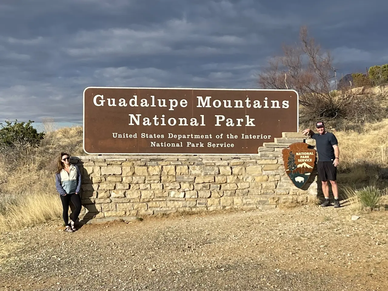
David and Keri at the Guadalupe Mountains entrance sign
We were hereMar 29, 2022
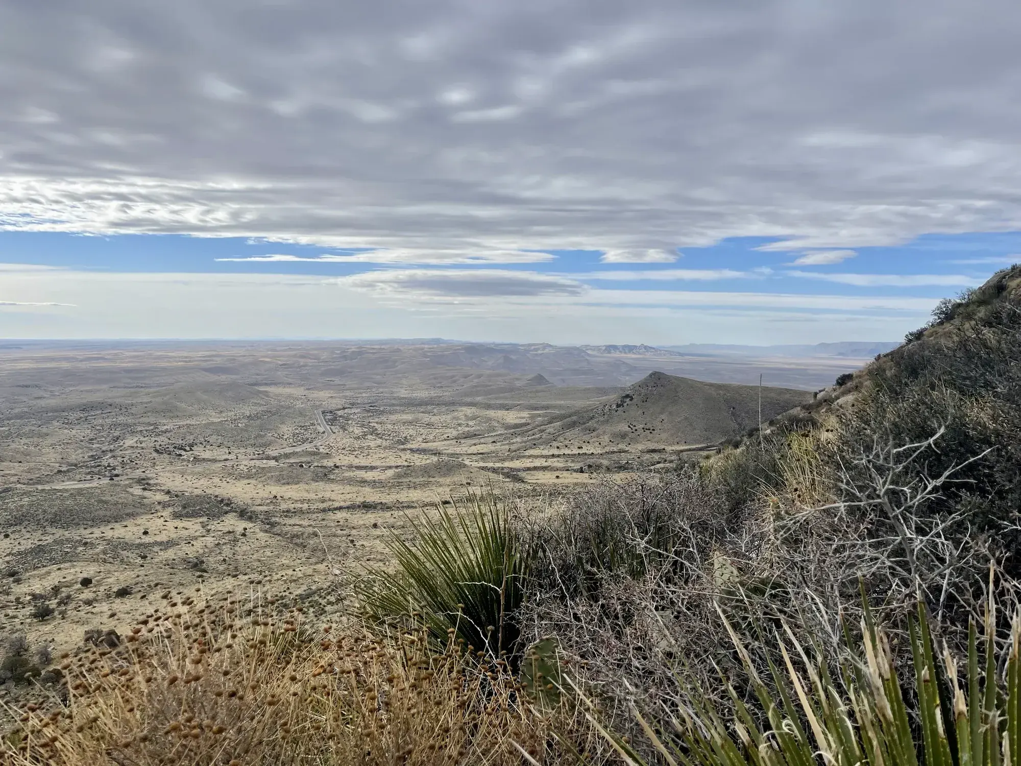
Agave and scrub frame a sweeping view over the Chihuahuan Desert from a mountain trail in Guadalupe Mountains National Park
Agave in the foreground, with the Chihuahuan Desert stretching out below. · Mar 29, 2022
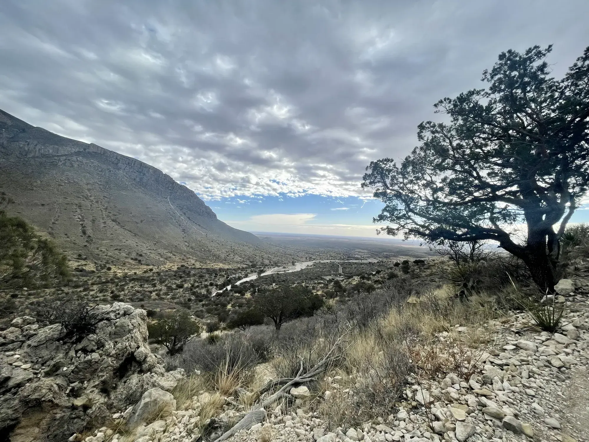
A twisted juniper and rocky slopes below cloud-capped peaks in Guadalupe Mountains National Park
A twisted juniper against the clouds on our Guadalupe Mountains trip. · Mar 29, 2022

Why it’s on our list

Guadalupe Mountains offers some of the best mountain hiking in Texas, including the opportunity to climb to the highest point in the state. The rugged peaks, beautiful desert landscapes, and colorful fall foliage in McKittrick Canyon make this an impressive destination. However, many of the park’s highlights require strenuous hikes, and there aren’t as many easily accessible attractions as you’ll find at some of our higher-ranked parks.

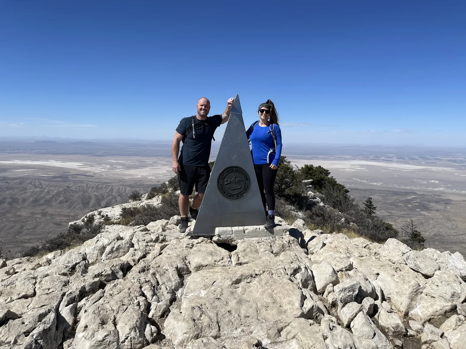
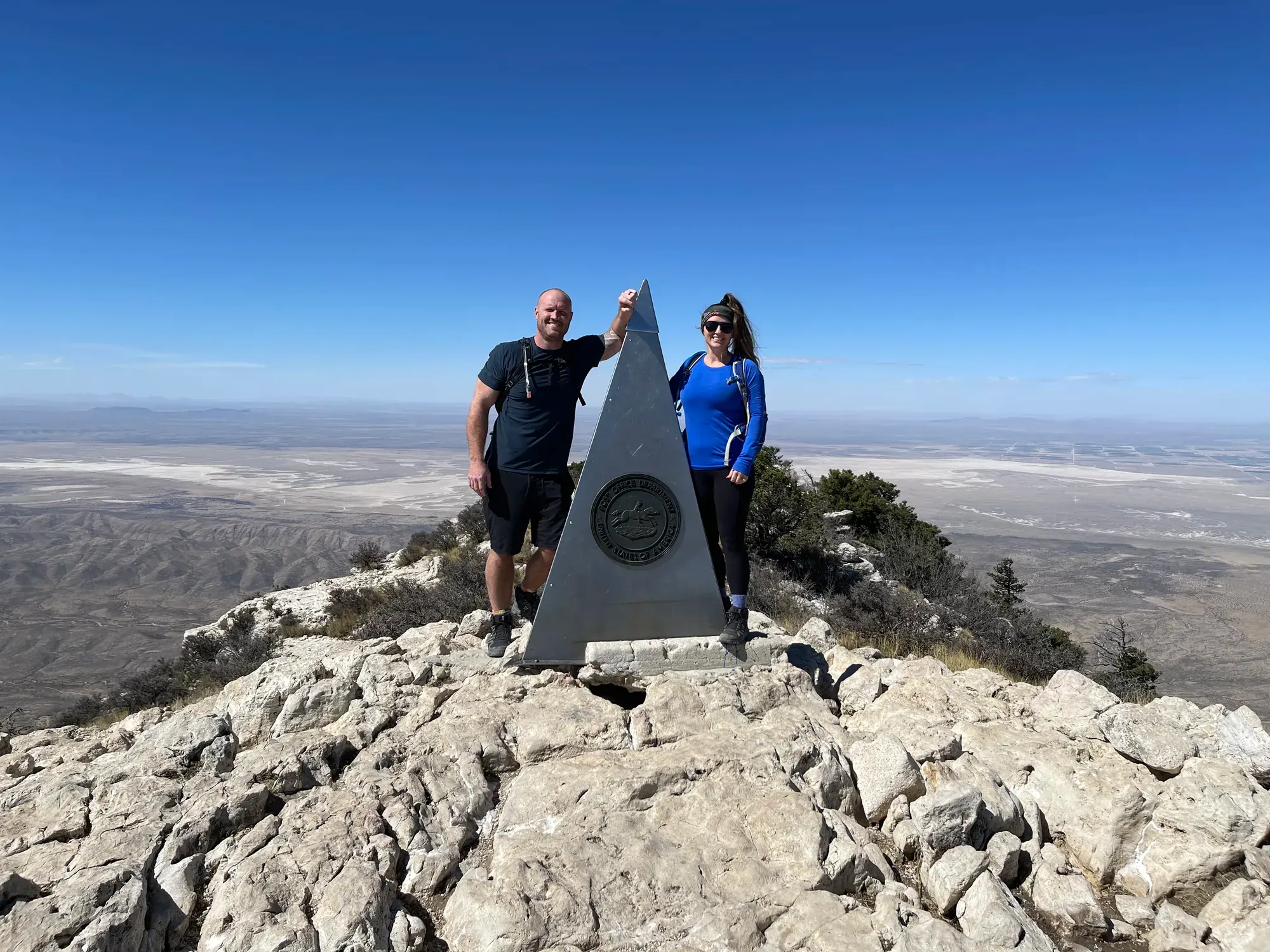
David and Keri stand beside the steel summit marker on Guadalupe Peak
We made it to the Guadalupe Peak summit, with the desert way down below.
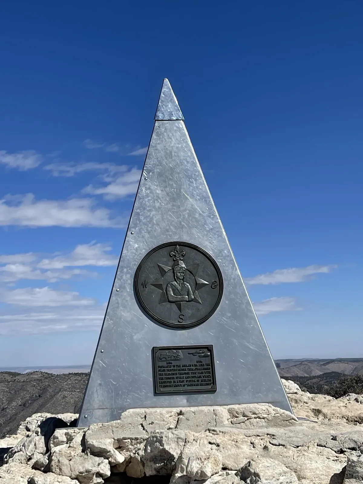
Steel pyramid summit marker on the rocky summit of Guadalupe Peak against a blue sky
A close look at the steel summit marker on Guadalupe Peak.
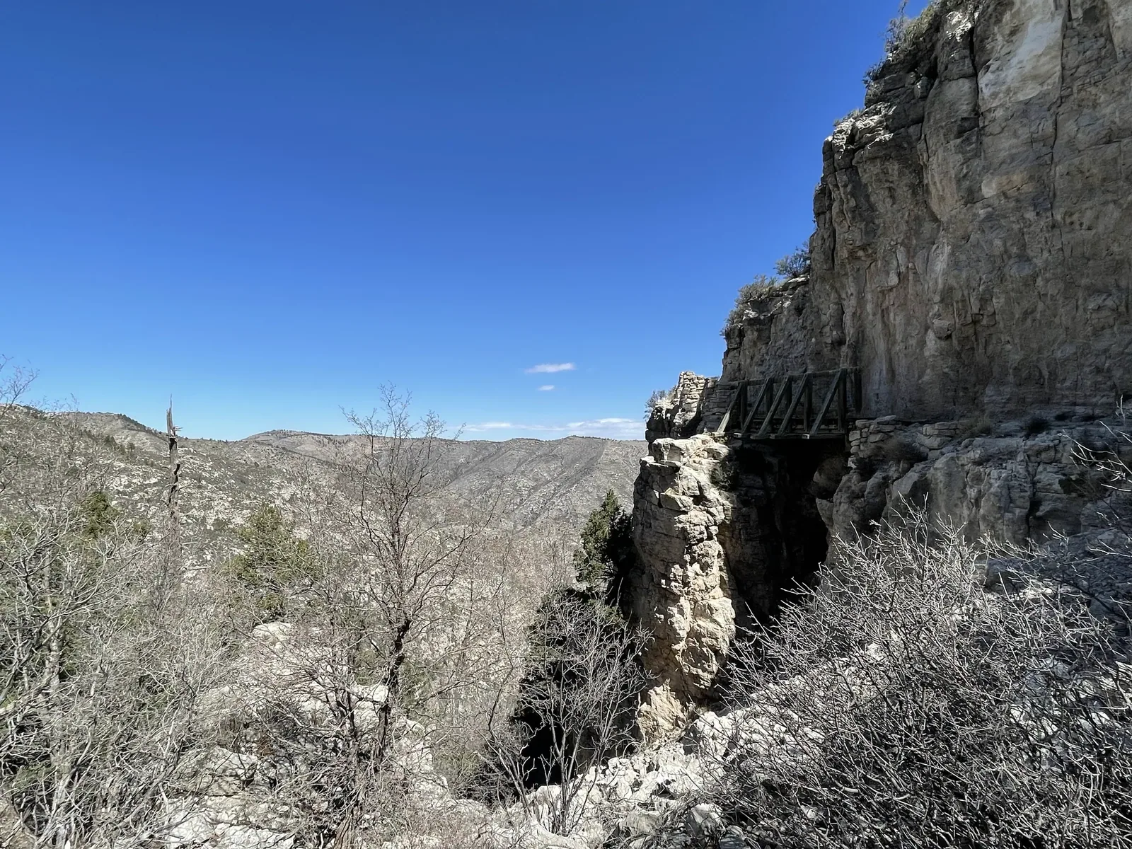
An exposed cliff trail in Guadalupe Mountains
The trail curves around a steep rock face on the way up.
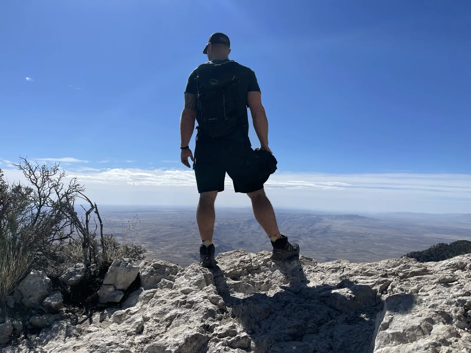
Looking out from a mountain summit in Guadalupe Mountains
Looking out over the desert from a rocky high point.

Our favorite moment

Hiking to the summit of Guadalupe Peak. Thankfully, after we had gotten all the way down from the peak, a windstorm hit us, and it was one of the most powerful forces I have ever been in. I’m very thankful that happened when we were not at the top; we were pretty much back in the parking lot at that point.

See all 14 photos and videos
When we went
March 2022

Photos by David & Keri New.

Firsthand · David & Keri New

What we’d tell a friend about Guadalupe Mountains

Hardly any park in the country gets fewer visitors, and that’s a shame. You climb from the Chihuahuan Desert to the top of Texas and look out over salt flats and El Capitan. It’s a big day on foot, but very rewarding.

  • Mar 29, 2022 · Day trip
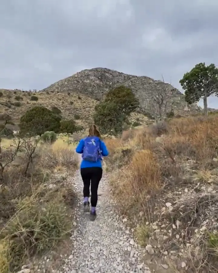
A hiker walks a rocky trail through desert shrubs toward the mountains
Hiking the desert trail · our video
The view pans from the rocky summit across the flat desert far below
The view from Guadalupe Peak · our video
Rocky slopes and desert flats far below a ridge in Guadalupe Mountains
Desert view from the ridge · our video
See all 14 photos and videos

Our favorite hike

Guadalupe Peak Trail

The climb ends on the highest point in Texas at 8,751 feet, about 8.4 miles round trip with roughly 3,000 feet of gain. Standing next to the steel pyramid on top, with the desert falling away on every side, paid us back for every switchback.
Our one tip

High winds are common on top of Guadalupe Peak, especially in spring, so get the wind forecast before you start up. There’s no water on the trail, so carry all you need.

What we’d do differently

Fall is when we want to come back, late October or early November, to see the color in McKittrick Canyon.

With one more day

McKittrick Canyon would be our hike, out to the Grotto and the Hunter Line Shack. It’s a completely different side of the park.

Was it a good time to go?

Spring has mild temperatures, but it’s also when the winds are at their strongest. We started under clouds and had clear blue skies by the time we reached the summit. Crowds were light, like they usually are here.

In town

There’s nothing in Pine Springs, so plan on Carlsbad, New Mexico as your base. That sets you up for Carlsbad Caverns too, about 40 minutes up the road.

Entry and best time to visit

Entry

No entry reservation required

You still need an entrance pass: $10 per person, good for 7 days.

Fees and permits

Best time

October

October-November best for McKittrick fall color and cool hikes. Spring busy and windy. June-August hot, fire risk, monsoon storms. Winter mild but gusty.

Month by month

Live conditions and planning tools →

What’s different now

Official update, not firsthand

November through March is the windy season here, with gusts often 50 to 80 mph. The Park Service says 50 mph is dangerous even for experienced hikers, and to turn back above 55 mph. Last verified · nps.gov

Itineraries

How many days in Guadalupe Mountains?

Guadalupe Mountains itinerary: every day stop by stop, with sources

Compare the 1-day plans, day by day →

Map

Where things are in Guadalupe Mountains

3 visitor centers and 3 campgrounds on a map you can zoom and drag. Map data loads from OpenStreetMap when you tap.

Guadalupe Mountains’ US 62/180 and spur roads: schematic, not to scale CarlsbadWhites CityDog CanyonMcKittrickFrijole RanchPine SpringsEl CapitanVan HornEl PasoSalt Basin Dunes
Unpaved Schematic, not to scale

3 visitor centers

Locations from the NPS visitor-center listing, checked Nov 13, 2026. Hours and what each one has

3 campgrounds

Locations from Recreation.gov, checked Nov 7, 2026. Compare the campgrounds

Official NPS maps for Guadalupe Mountains (opens in a new tab) ↗

Trails

10 hikes, shortest first

David and Keri at the steel pyramid on Guadalupe Peak overlooking the desert
David and Keri at the steel pyramid on Guadalupe Peak overlooking the desert · Mar 2022
  1. Indian Meadow Nature Trail (Dog Canyon)0.6 mi loop · Not listed by NPS gain · Easy

    0.6 mi

    Details for Indian Meadow Nature Trail (Dog Canyon)

    Nearly level loop across from the ranger station.

    Loop · About 30-45 minutes
    Start: Across the road from Dog Canyon Ranger Station, next to the group campsite.

    Last verified · nps.gov
  2. Pinery Trail0.75 mi round trip · 40 ft gain · Easy

    0.75 mi

    Details for Pinery Trail

    Paved and accessible, from the visitor center to the Butterfield stage station ruins. Leashed pets OK.

    Out and back · About 20-30 minutes
    Start: Pine Springs Visitor Center or the Butterfield pull-off on U.S. 62/180.

    Last verified · nps.gov
  3. Smith Spring Loop2.3 mi loop · 402 ft gain · Easy-moderate

    2.3 mi

    Details for Smith Spring Loop

    Starts at Frijole Ranch and is paved to Manzanita Spring. Good for birding at the springs.

    Loop · About 1-2 hours
    Start: Frijole Ranch Trailhead, at the end of Frijole Ranch access road, one mile north of Pine Springs.

    Last verified · nps.gov
  4. Salt Basin Dunes3-4 mi round trip · Not listed by NPS gain · Moderate

    3–4 mi

    Details for Salt Basin Dunes

    White gypsum dunes up to 100 ft above the desert floor; some dunes need scrambling. Day use only, sunrise to sunset.

    Out and back · About 1-3 hours
    Start: Salt Basin Dunes Trailhead; reach via U.S. 62/180, FM 1576, and Williams Road.

    Last verified · nps.gov
  5. Devil’s Hall4.2 mi round trip · 548 ft gain · Strenuous

    4.2 mi

    Details for Devil’s Hall

    The second mile is in a rocky wash, with scrambling up a natural rock staircase to a slot ‘hallway.’ Dangerous when wet.

    Out and back · About 3-5 hours
    Start: Pine Springs Trailhead, near the campground.

    Last verified · nps.gov
  6. McKittrick Canyon to Pratt Cabin4.8 mi round trip · Not listed by NPS gain · Moderate (due to length)

    4.8 mi

    Details for McKittrick Canyon to Pratt Cabin

    Crosses the stream twice to reach the historic cabin. Day use only: the gate is open 8 am-5 pm Mountain Time.

    Out and back · About 2-4 hours
    Start: McKittrick Canyon Trailhead

    Last verified · nps.gov
  7. McKittrick Canyon to the Grotto & Hunter Line Shack7.0 mi round trip · Under 600 ft gain · Moderate (due to length)

    7 mi

    Details for McKittrick Canyon to the Grotto & Hunter Line Shack

    Exposed cave features and stone picnic tables.

    Out and back · About 3-5 hours
    Start: McKittrick Canyon Trailhead

    Last verified · nps.gov
  8. Guadalupe Peak8.4 mi round trip · 3,000 ft gain · Strenuous

    8.4 mi

    Details for Guadalupe Peak

    Climb to the highest point in Texas (8,751 ft); 6-8 hours. It’s the most popular trail and the lot fills early on weekends. Lightning danger on the exposed summit. Distance follows the dedicated NPS Guadalupe Peak trail page.

    Out and back · About 6-8 hours
    Start: Pine Springs Trailhead, half a mile from Pine Springs Visitor Center.

    Last verified · nps.gov
  9. Hunter Peak (Tejas/Bear Canyon/Bowl loop)8.7 mi loop · 2,700 ft gain · Strenuous

    8.7 mi

    Details for Hunter Peak (Tejas/Bear Canyon/Bowl loop)

    Bear Canyon gains 2,000 ft in under 2 miles.

    Loop · About 6-8 hours
    Start: Pine Springs Trailhead

    Last verified · nps.gov
  10. The Notch (McKittrick Canyon)9.0 mi round trip · 1,092 ft gain · Difficult past the Grotto

    9 mi

    Details for The Notch (McKittrick Canyon)

    A dramatic viewpoint about halfway up to McKittrick Ridge.

    Out and back · About 5-7 hours
    Start: McKittrick Canyon Trail, behind the McKittrick Canyon Visitor Center; park at the center.

    Last verified · nps.gov

Distances, gains and difficulty as NPS publishes them; the bar shows the published distance, dashed where a longer option exists.

Camping

3 campgrounds in Guadalupe Mountains

Open in season
3
A night
$20
Sites
51
With hookups
0
  • Pine SpringsSee dates · $20 a night · rigs to 50 ft
  • Dog CanyonSee dates · $20 a night
  • Frijole Horse CorralSee dates · $20 a night · rigs to 40 ft

Camping in and near Guadalupe Mountains: all 3 campgrounds, every site, nearby campgrounds and open sites for your dates

Fees, permits & rules

Guadalupe Mountains entrance fee: $10 per person, plus permits and when to book

Last verified · nps.gov All Guadalupe Mountains fees, permits and booking deadlines →

Rules and changes for 2026

  1. Mountain Time

    The park runs on Mountain Time, and phones often show the wrong time here. That matters for McKittrick Canyon’s 5 pm gate.

    Last verified · Basic Information (NPS)
  2. Cashless park store

    The park store went cashless on Aug 14, 2025, accepting major credit cards, debit cards and mobile electronic payments. This is a store policy announced in 2025, not a new 2026 entrance-fee rule.

    Last verified · Park Store To Go Cashless (NPS alert)
  3. Peak-day traffic control

    During peak visitation, one-in, one-out traffic control may operate at Pine Springs and McKittrick Canyon when parking is full. Visitor center capacity may be reduced and exhibits closed. Do not park along US 62/180; have an alternate destination. NPS describes ongoing peak-period measures, not a dated 2026 program.

    Last verified · When It’s Busy (NPS)
1 more rule
  1. No climbing or fires

    Technical rock climbing is prohibited everywhere in the park. Wood and charcoal fires are banned; use containerized-fuel stoves only.

    Last verified · Safety (NPS)

Crowds by month

Historical recreation visits · 2021–2025 · as of Nov 3, 2026. Visits count entries, not unique people, parking spaces or trail crowding.

Average monthly recreation visits, 2021–2025
Jan12,020
Feb16,306
Mar35,185
Apr27,647
May19,602
Jun13,125
Jul13,226
Aug9,934
Sep12,166
Oct22,294
Nov19,514
Dec23,616

Busiest by average count: Mar. Quietest: Aug. Each bar is that month’s average visits across 5 years; unusual years and reported zeros are included. Past visits can’t tell you the best time of day to arrive.

Every month’s visits and NOAA weather, with the counts for each year →

NPS Visitor Use Statistics: monthly report · NPS monthly data · checked Nov 3, 2026; latest included year 2025.

How this page is made. The section “What we’d tell a friend” is ours. Our recorded visits to Guadalupe Mountains include March 2022.Planning information, including any fees, permits, closures, weather and crowd figures shown here, is compiled from the National Park Service, Recreation.gov and other public sources, and each fact shows the date we last checked it. If something is wrong, tell us and we’ll log the fix on our corrections page.

Sources & corrections

The core guide research was last verified Nov 17, 2026 against the linked National Park Service and Recreation.gov pages. Live conditions and separately sourced facts show their own dates. Park rules change; confirm before you go.

Report a correction · Corrections log

Photos: David & Keri New.

Where sources disagree (3)
  • Dog Canyon RV length: Recreation.gov site RV-B allows 23 ft (https://www.recreation.gov/camping/campsites/10064601), while the 2026 compendium says 19 ft (https://www.nps.gov/gumo/learn/management/superintendents_compendium.htm). Confirm with the park at 915-828-3251 before booking.
  • The compendium says six months for wilderness reservations; booking guidance says three months. We follow Recreation.gov’s Wilderness Use Permit page.
  • NPS group and permit pages give conflicting group thresholds and start-separation rules. Confirm with the park.