Our favorite hike
Wheeler Peak Bristlecone Grove
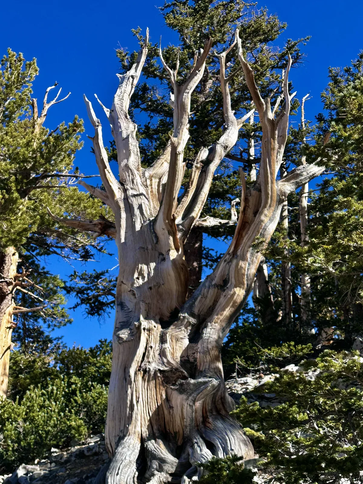
This trail ends at a grove of ancient bristlecone pines below Wheeler Peak, and some of them are thousands of years old. Standing next to trees that old is the reason to come.

Nevada
Lehman Caves, ancient bristlecone pines and 13,063-ft Wheeler Peak, in one of the most remote corners of Nevada.
By David & Keri New, who have visited 63 of the 64 U.S. national parksUpdated
56Park 56 of our 63Visited Nov 2023
Saves this park and its trail guides on this device. Alerts and conditions are as of when you save; live maps and bookings need a connection.
NPS alertsAs of 6:03 AM ET, Nov 20
2 days is our starting point.
Use our one-day plan for a booked Lehman Caves tour and a short nature walk. Choose the two-day plan to add the Bristlecone Grove, but only when the upper Wheeler Peak Scenic Drive is open.
Open the 1-day itineraryOpen the 2-day itineraryNPS park conditions
With a few hours, take a booked Lehman Caves tour and walk the Mountain View Nature Trail beside the cave visitor center.
Stay the night for the dark sky. In summer, rangers lead astronomy programs at the Astronomy Amphitheater near the Lehman Caves Visitor Center. Check the program schedule before you plan around one.
If tours are sold out, ask for walk-up tickets at the Lehman Caves Visitor Center when it opens; they are not guaranteed. If the upper Scenic Drive is closed, keep your cave tour and the Mountain View Nature Trail.
National Park Service guidanceNPS park conditionsOpen the 1-day itineraryOpen the backup itinerary
Baker, NV
Baker is the closest town, with a few small motels and limited services. There is no lodge in the park. If camping in winter, Lower Lehman Creek is the only park campground open.
Lodging and gateway townsNPS lodging and campingNational Park Service guidance
Book your Lehman Caves tour on Recreation.gov first. Tours are small and often sell out, and you cannot enter the cave without a ticket. Then reserve a campsite or a room in Baker.
National Park Service guidancerecreation.govNational Park Service guidance
You need a car; no public transportation serves the park. Navigation apps can misroute you, so route to the Lehman Caves Visitor Center or Baker. Nevada is on Pacific Time. David and Keri found a day trip meant a long drive each way.
Our visit
November 2023
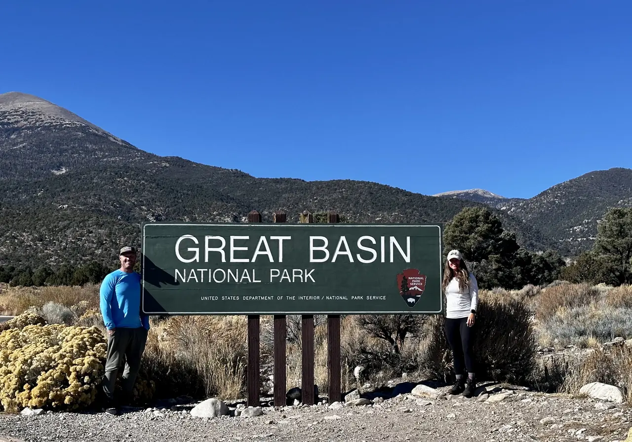
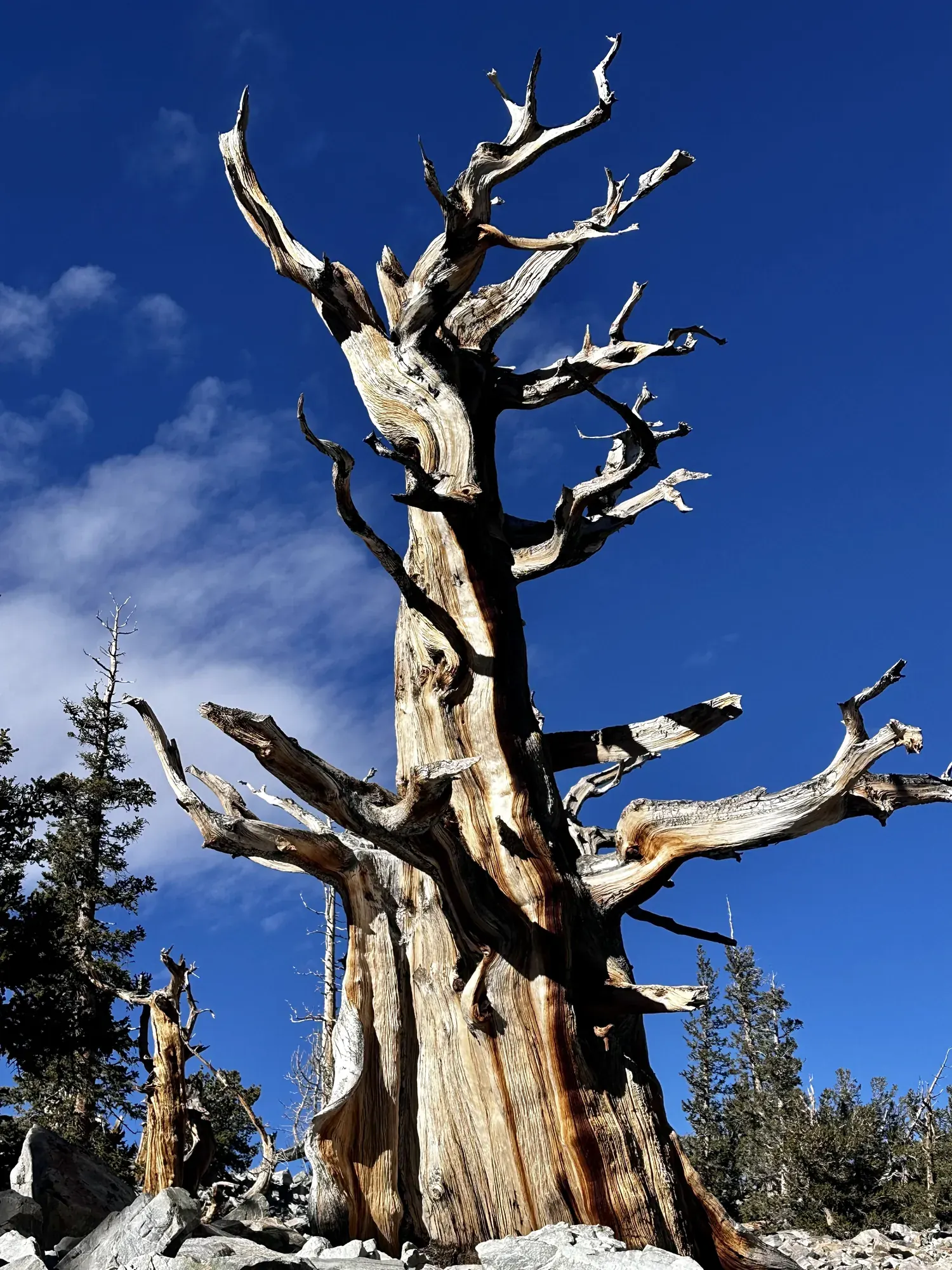
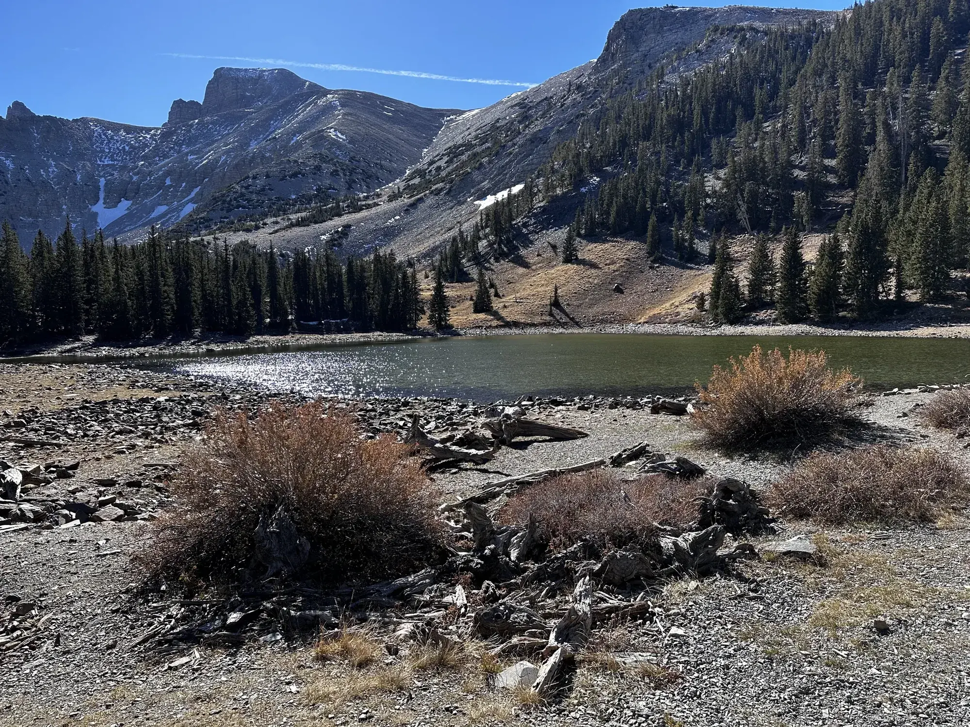
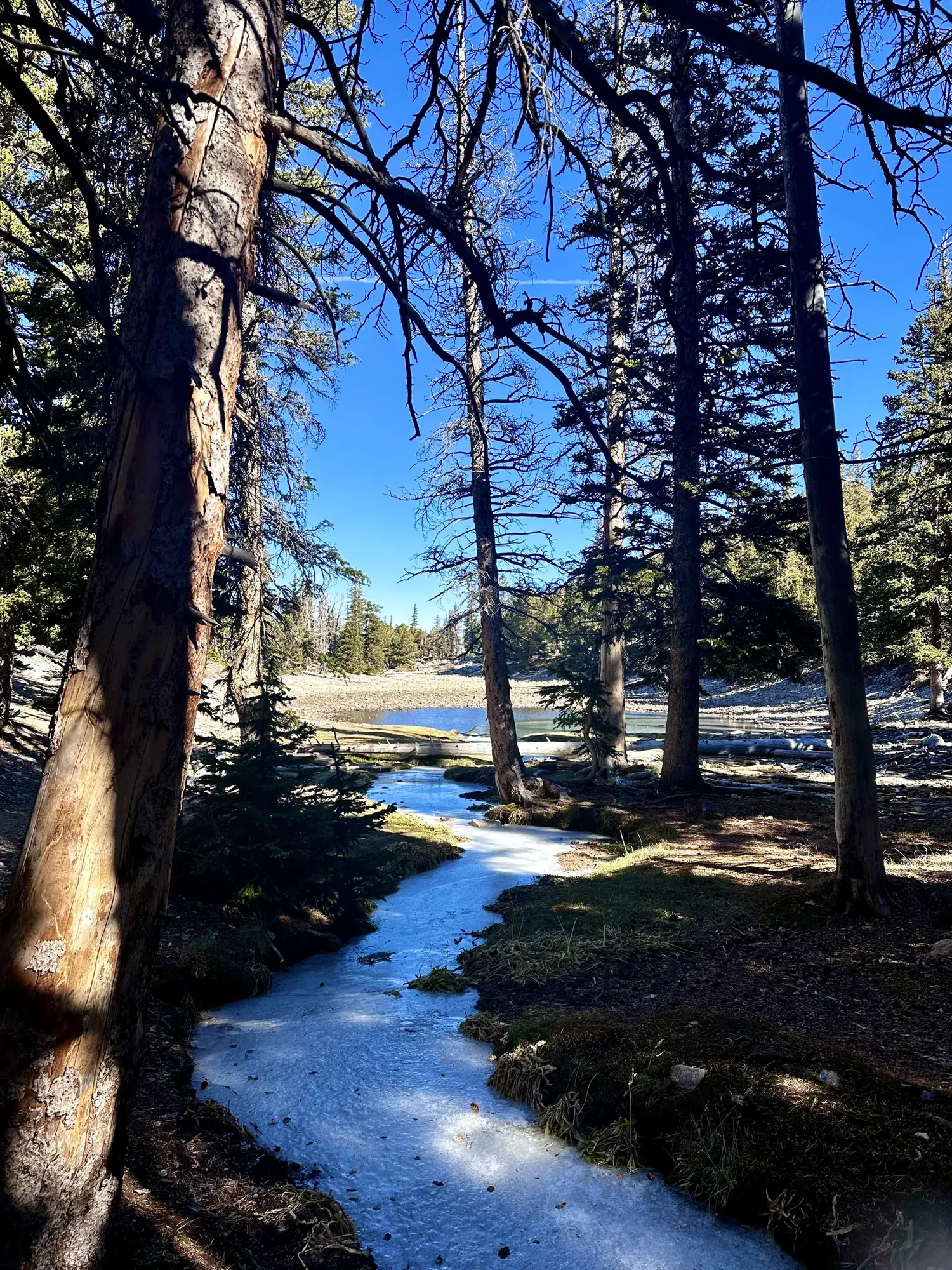
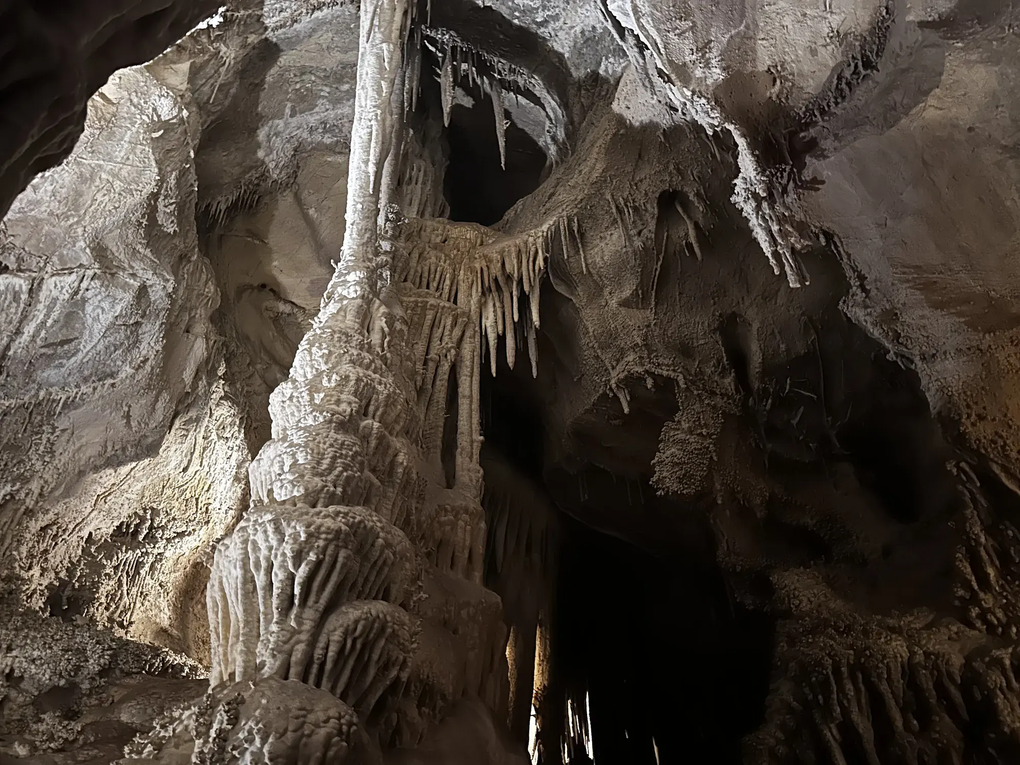
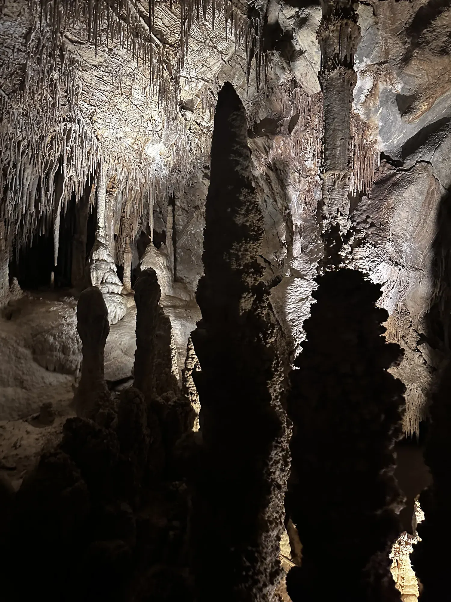
Why it’s on our list
Great Basin is an underrated park featuring ancient bristlecone pine trees, beautiful mountain scenery, fascinating caves, and some of the darkest night skies in the country. The opportunity to explore Lehman Caves and hike around Wheeler Peak makes it a surprisingly diverse destination. However, its remote location and relatively limited number of major attractions keep it from ranking higher on our list.
Our favorite moment
Exploring Lehman Caves, hiking among ancient bristlecone pines, and reaching the summit of Wheeler Peak.
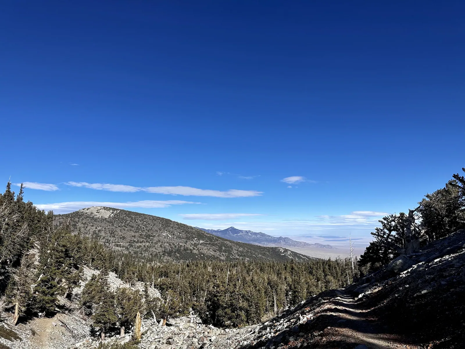
Photos by David & Keri New.
Firsthand · David & Keri New
Great Basin is a remote mountain island in the Nevada desert. Wheeler Peak, ancient bristlecone pines and Lehman Caves are all packed into one small park. Very few people make it out here, and that’s part of the appeal.
Wheeler Peak Bristlecone Grove
This trail ends at a grove of ancient bristlecone pines below Wheeler Peak, and some of them are thousands of years old. Standing next to trees that old is the reason to come.
Lehman Caves tours often sell out, so reserve yours ahead of time on Recreation.gov. Then get up the Wheeler Peak Scenic Drive as early in the day as you can.
Looking back, we should have stayed the night for the stars. Great Basin has some of the darkest skies in the country, and it’s a long drive to come and go in a day.
We’d hike the Alpine Lakes Loop to Stella and Teresa Lakes.
Early November is very quiet here. We had clear, deep-blue skies and a dusting of snow up high, but it was cold, and the upper Wheeler Peak Scenic Drive can close once real snow arrives.
Baker, NV is the tiny gateway town. Ely is about an hour away on US 50, the Loneliest Road, and has the Nevada Northern Railway Museum.
Day trip
A day trip, with a long drive in and back out.
Best time
July, August, September
Snow closes upper Scenic Drive ~November-May. July-September best with high country open. September/early October add aspens. Winter = caves, snowshoes, solitude.
Month by monthItineraries
1 day
2 daysOur pick
Compare the 1- and 2-day plans, day by day →
Map
2 visitor centers and 5 of the 6 campgrounds on a map you can zoom and drag. Map data loads from OpenStreetMap when you tap.
Visitor centerCampground Roads and trails are community-mapped; check closures with the park.
Locations from the NPS visitor-center listing, checked Nov 13, 2026. Hours and what each one has
Locations from Recreation.gov, checked Nov 7, 2026. Not on this map: Snake Creek primitive sites (no Recreation.gov location in our data). Compare all 6 campgrounds
Trails
0.3 mi
Starts at Lehman Caves Visitor Center.
Loop · About 5–30 minutes
Start: Mountain View Nature Trail: behind Rhodes Cabin at Lehman Caves Visitor Center, at the end of Highway 488.
0.4 mi
Boardwalk at nearly 10,000 ft at the top of the Scenic Drive.
Loop · About 15–45 minutes
Start: Bristlecone Trailhead, at the end of Wheeler Peak Scenic Drive.
2.7 mi
Stella and Teresa lakes from 9,890 ft.
Loop · About 1.5–3 hours
Start: Bristlecone Trailhead, at the end of Wheeler Peak Scenic Drive.
2.8 mi
Ancient bristlecone pines. Sections can be linked with the Alpine Lakes Loop for a combined 4.1 mi.
Lollipop loop · About 1.5–3 hours
Start: Bristlecone Trailhead, at the end of Wheeler Peak Scenic Drive.
3.3 mi
Off gravel Baker Creek Road.
Loop · About 1.5–3 hours
Start: Baker Creek Trailhead, at the end of gravel Baker Creek Road.
4.8 mi
Continues past the bristlecone grove to the rock glacier.
About 2–4 hours
Start: Bristlecone Trailhead, at the end of Wheeler Peak Scenic Drive.
5.6 mi
Remote; road washed out; little shade after the fire. The only trail open to leashed pets.
Out and back · About 3–5 hours
Start: Makeshift Lexington Arch Trailhead at the end of Lexington Creek Road, approximately one mile before the original trailhead.
6.4 mi
From Upper Lehman Creek Campground; 3-6 hours.
Out and back · About 3–6 hours
Start: Lehman Creek Trailhead in Upper Lehman Creek Campground, three miles up Wheeler Peak Scenic Drive.
8.6 mi
From Summit Trailhead (10,160 ft). Rocky, windy, high altitude; 4-10 hours.
Out and back · About 4–10 hours
Start: Summit Trailhead, on Wheeler Peak Scenic Drive.
10.4 mi
Backcountry permit required to camp near the lake.
Out and back · About 5–10 hours
Start: Baker Creek Trailhead, at the end of gravel Baker Creek Road.
Distances, gains and difficulty as NPS publishes them; the bar shows the published distance, dashed where a longer option exists.
Camping
Fees, permits & rules
Last verified · nps.gov All Great Basin fees, permits and booking deadlines →
As of Oct 30, 2026, Wheeler Peak Scenic Drive is closed to vehicles at Osceola Ditch for winter weather.
Last verified · NPS alert (Oct 30, 2026)As checked Nov 1, 2026, no campground has potable water. Water is available at Lehman Caves Visitor Center year-round and the dump station in summer and fall.
Last verified · NPS alert (Oct 2026)The Oct 23, 2026 celebration marked completion of the Lehman Caves lighting restoration and the park’s 40th anniversary. The event schedule included a ribbon-cutting, talks and free first-come cave tours.
Last verified · 40th Anniversary (NPS)Lexington Arch Road is severely washed out; vehicles must park about 1 mile before the official trailhead. NPS recommends high-clearance, four-wheel-drive vehicles year-round.
Last verified · Current Conditions (NPS)Park operations are cashless; cave tickets can be purchased only by credit or debit card.
Last verified · Current Conditions (NPS)The Oct 29, 2026 NPS release sets Baker Creek and Grey Cliffs winter closures at noon PST Nov 2. A prescribed burn is planned for the week of Nov 2, conditions permitting; Baker Creek Trailhead will be inaccessible during the burn.
Last verified · NPS prescribed burn release (Oct 29, 2026)Email me this guide Get a link to the Great Basin guide in your inbox, to open again when you plan or before you go.
One email with the link. We don’t add you to any list unless you tick the box.
Historical recreation visits · 2021–2025 · as of Nov 3, 2026. Visits count entries, not unique people, parking spaces or trail crowding.
Busiest by average count: Jul. Quietest: Dec. Each bar is that month’s average visits across 5 years; unusual years and reported zeros are included. Past visits can’t tell you the best time of day to arrive.
Every month’s visits and NOAA weather, with the counts for each year →
NPS Visitor Use Statistics: monthly report · NPS monthly data · checked Nov 3, 2026; latest included year 2025.
Plan your visit
For any park: passes and free entrance days · what to pack · visiting with kids · stargazing
Getting there and park logistics →
Find a place to stay near Great Basin → See camping and backup options for this park.
How this page is made. The section “What we’d tell a friend” is ours. Our recorded visits to Great Basin include November 2023.Planning information, including any fees, permits, closures, weather and crowd figures shown here, is compiled from the National Park Service, Recreation.gov and other public sources, and each fact shows the date we last checked it. If something is wrong, tell us and we’ll log the fix on our corrections page.