Our tips
Fill your tank before you come in, because distances here are huge and gas stations are few. Carry more water than you think you need, even in winter.
If you only have one day, do the Mesquite Flat dunes, Mosaic Canyon, and Zabriskie Point.

California & Nevada
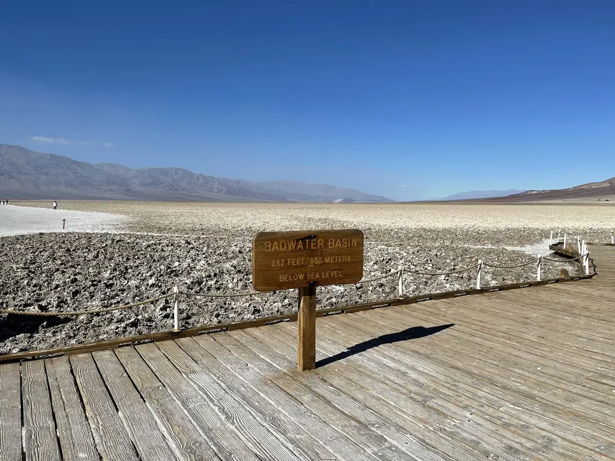
Desert park on the California-Nevada line where a long, narrow basin drops to 282 ft below sea level, famous for record summer heat.
By David & Keri New, who have visited 63 of the 64 U.S. national parksUpdated
10Park 10 of our 63Visited Nov 2020
Saves this park and its trail guides on this device. Alerts and conditions are as of when you save; live maps and bookings need a connection.
NPS alertsAs of 6:03 AM ET, Nov 20
3 days is our starting point.
In cool conditions, start at Zabriskie Point and group Golden Canyon with Badwater. Give Artists Drive and Dantes View their own day, and group the dunes and Mosaic Canyon near Stovepipe Wells when conditions suit the walks.
With a few hours from Furnace Creek, drive 15 minutes east on Highway 190 to Zabriskie Point and walk the ¼-mile paved path to the view. Then take Badwater Road to the Badwater Basin boardwalk.
National Park Service guidanceNational Park Service guidanceNPS directions
Add Ubehebe Crater, 600 feet deep and half a mile across. View it from the rim parking area or walk the rim, about 1½ miles round trip. Bonnie Clare Road and Scotty's Castle remain closed for flood recovery.
National Park Service guidanceNPS park conditionsOpen the 5-day itinerary
When valley-floor heat makes hiking unsuitable, use an air-conditioned scenic drive and brief overlooks such as Dantes View or Zabriskie Point when open. Move Golden Canyon, Badwater walks, and the dunes to a cooler visit. Recheck individual roads after storms.
Death Valley summer travelNPS park conditionsCurrent park conditions
Furnace Creek or Stovepipe Wells
Use Furnace Creek for the Badwater and Zabriskie trips. Compare Stovepipe Wells for a dunes or Mosaic Canyon start. If staying outside the park, choose the gateway for your open approach and work the extra drive into the day.
Lodging and gateway townsGetting to the parkNPS park conditions
Check the approach from your overnight town and the roads to your stops before booking a remote base. Secure any needed in-park room or campsite and confirm where you can fuel up before the next long drive.
NPS park conditionsLodging and gateway townsGetting to the park
There is no public transportation, so plan to drive. Paved entrances include CA 190 from Death Valley Junction or Olancha, SR 374 from Beatty and CA 178 from Shoshone. Gas is sold at Furnace Creek, Stovepipe Wells and Panamint Springs.
Our visit
November 2020
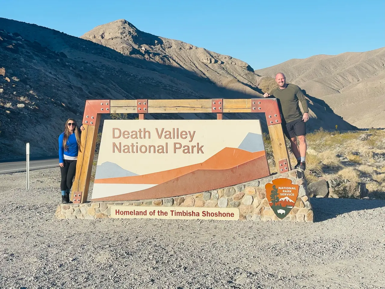
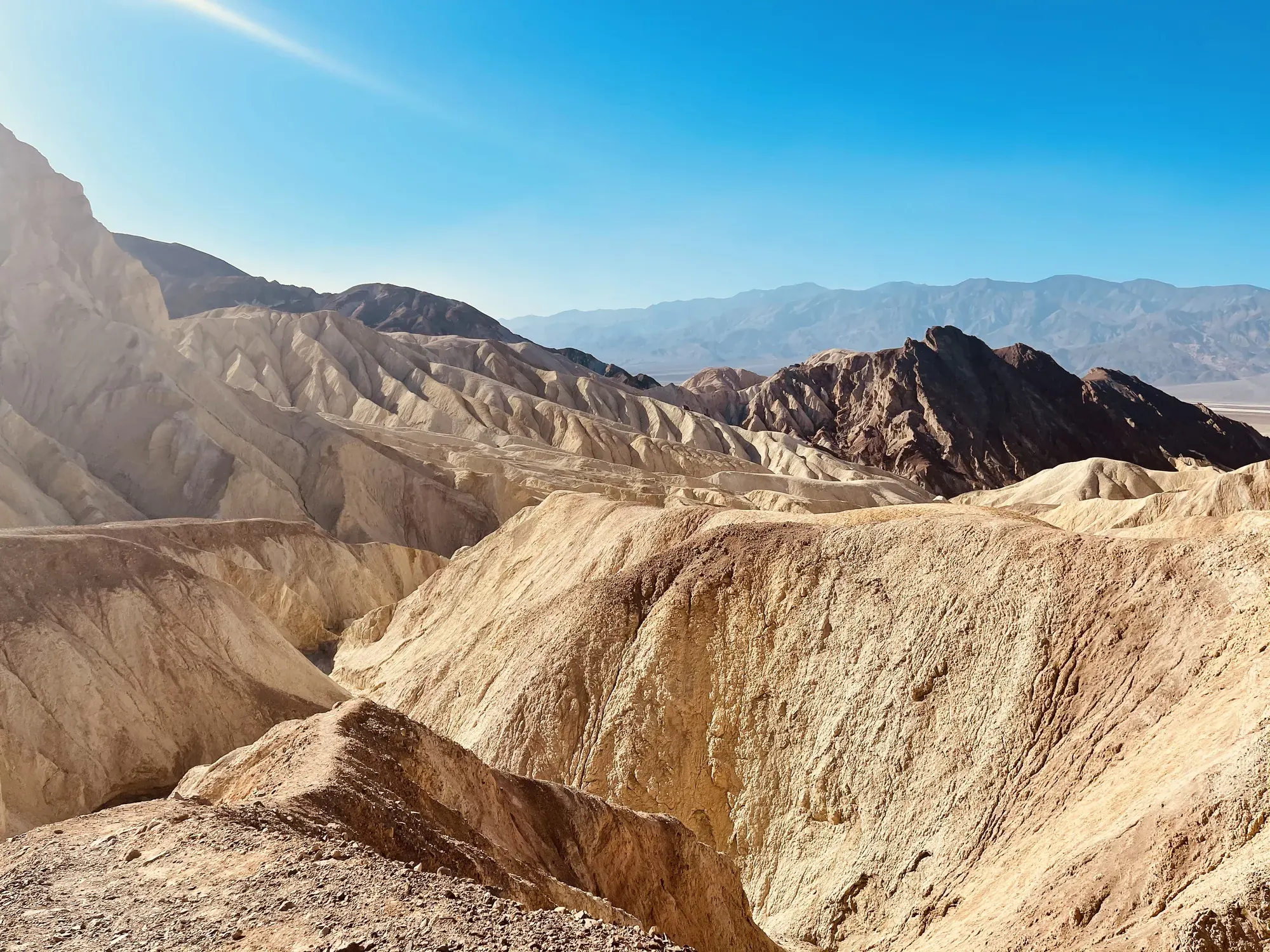
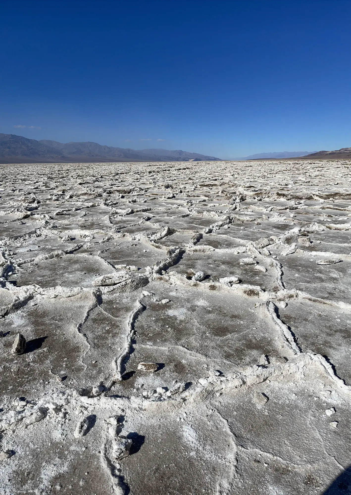
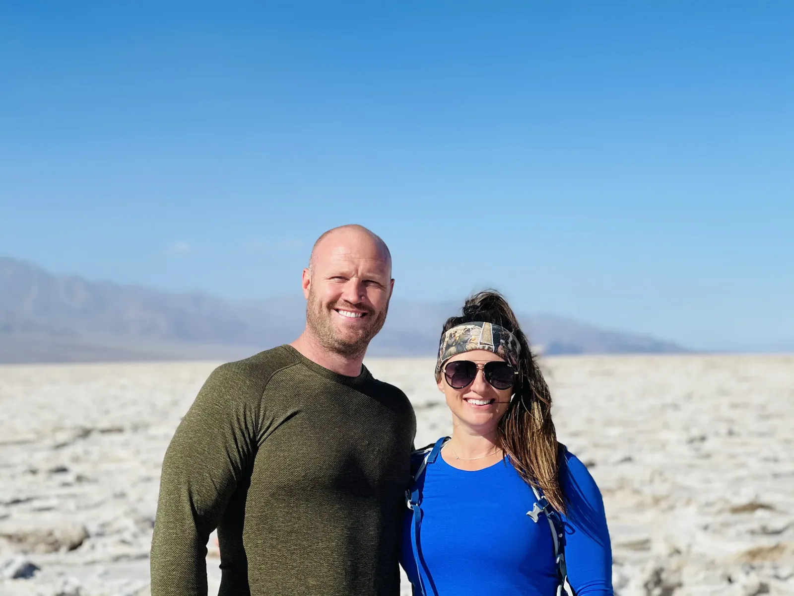
Why it’s on our list
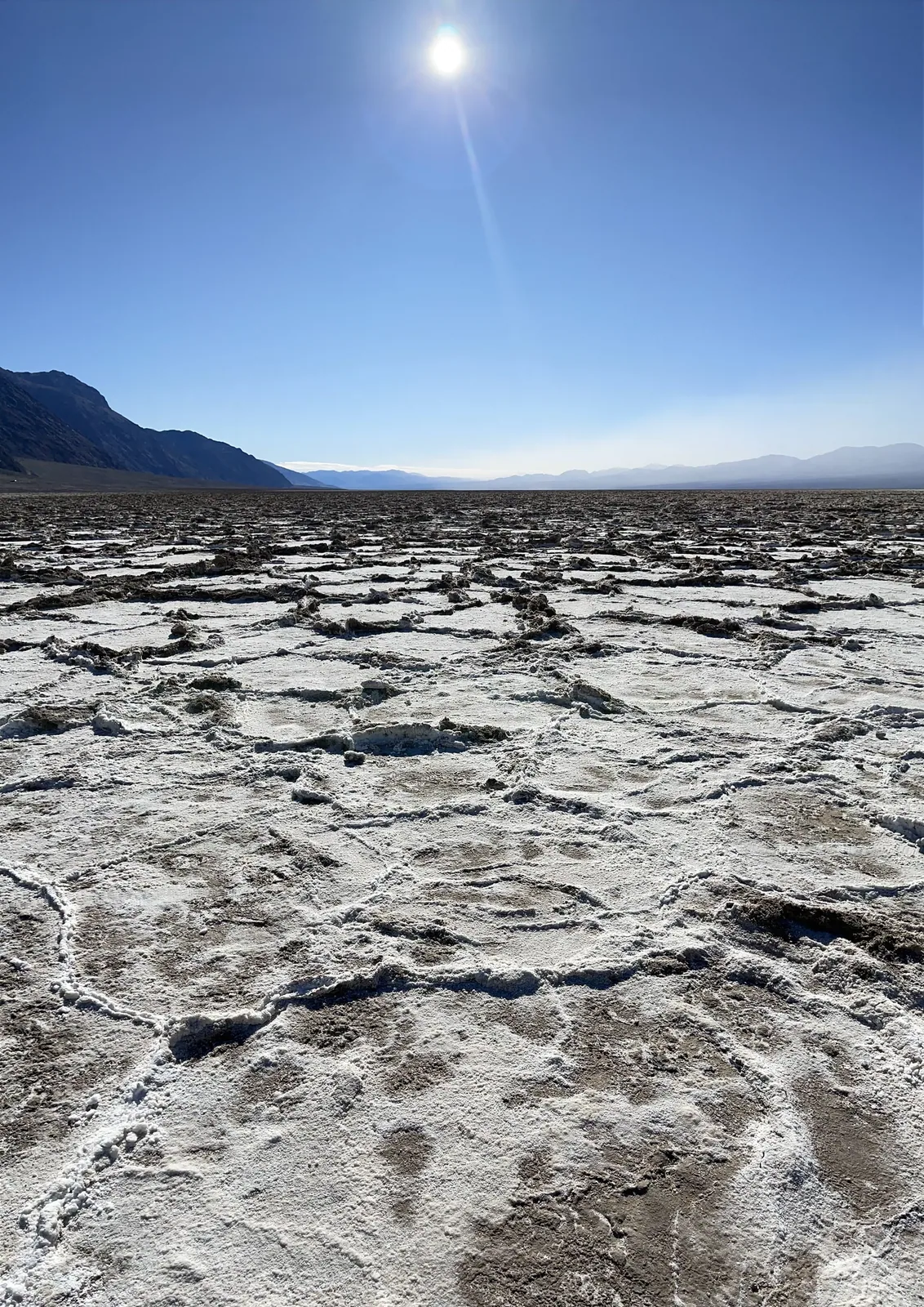
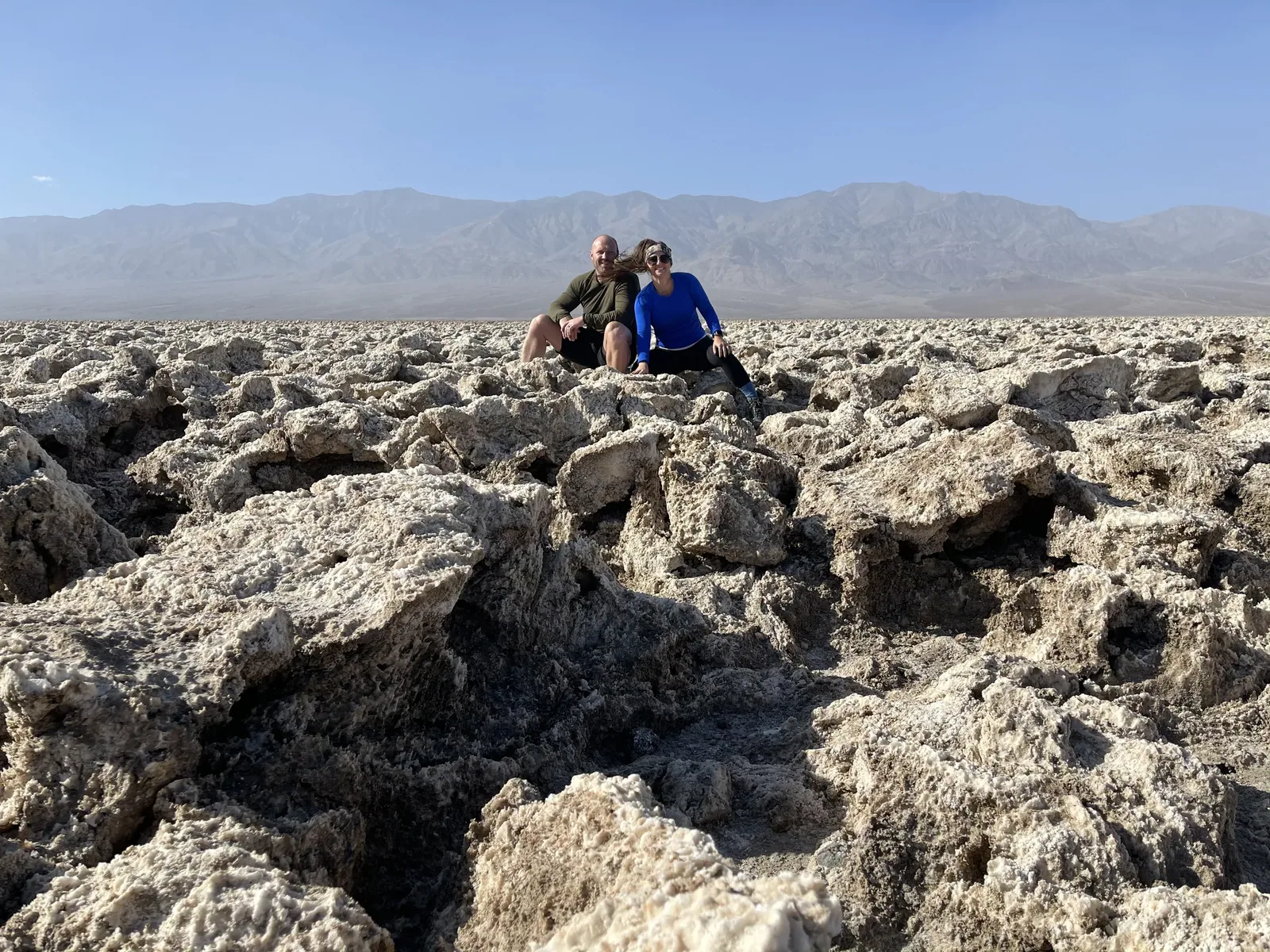
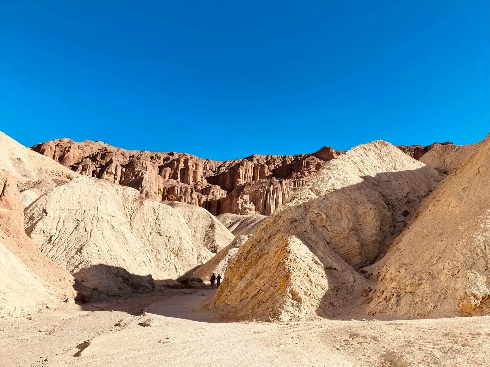
Death Valley is one of the most extreme and unusual landscapes in America. From enormous sand dunes and colorful mountains to vast salt flats and some of the lowest elevations in North America, the scenery is incredibly diverse. The harsh desert environment can make exploring challenging, but there’s no denying how fascinating this park is.
Our favorite moment
Walking across Badwater Basin, watching sunrise at Zabriskie Point, and exploring Mesquite Flat Sand Dunes.
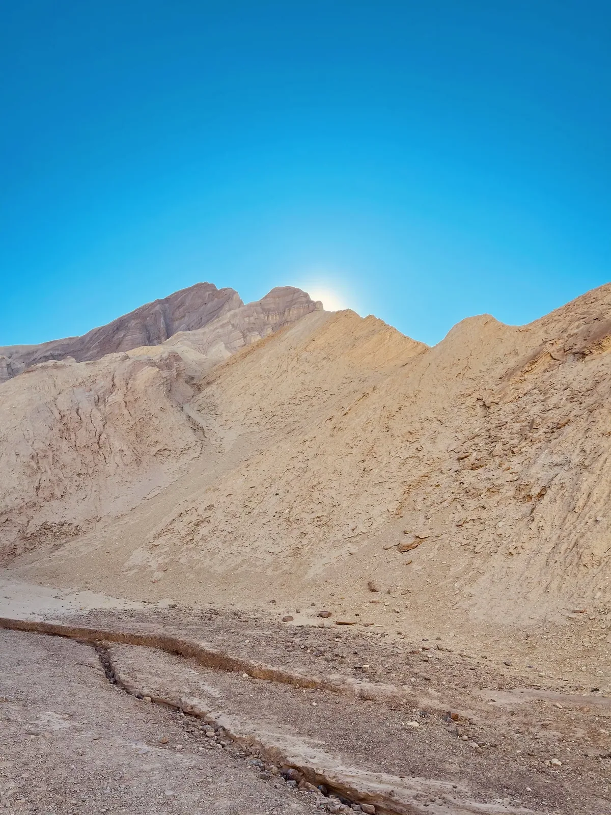
Photos by David & Keri New.
Firsthand · David & Keri New
Death Valley is the hottest, driest, lowest place in the country, and it’s way more colorful than the name suggests. Our highlights were sunrise at Zabriskie Point, walking out onto the salt at Badwater, and the Mesquite Flat dunes. We went to Natural Bridge.
Fill your tank before you come in, because distances here are huge and gas stations are few. Carry more water than you think you need, even in winter.
If you only have one day, do the Mesquite Flat dunes, Mosaic Canyon, and Zabriskie Point.
A night set aside just for stargazing is what we’d add. Few places in the country are darker than Death Valley.
Artists Drive in the afternoon and sunset at Dante’s View. With another day beyond that, we’d head north to Ubehebe Crater.
Our visit fell on Thanksgiving Day. Late fall is busy because that’s when the heat finally breaks. We had pleasant, blue-sky days, but the nights get cool, so bring a layer for sunrise. Heat wasn’t a problem at all.
Near Beatty, just over the Nevada line, we stopped at the Rhyolite ghost town. The Goldwell Open Air Museum and the Amargosa Opera House in Death Valley Junction are also in that area.
Entry
No entry reservation required
You still need an entrance pass: $30 per vehicle, good for 7 days.
Fees and permitsBest time
February, March, November
November-March best (mild, February-April wildflowers in wet years). April/October good shoulders. May-September dangerous heat. August-September flash floods.
Month by monthOnly 18 full-hookup sites at Furnace Creek have water, sewer, and electric, and they often book six months out. Most national park campgrounds do not have full hookups. Last verified · nps.gov
Itineraries
1 day
2 days
3 daysOur pick
5 days
Death Valley itinerary: every day stop by stop, with sources
Compare the 1-, 2-, 3- and 5-day plans, day by day →
Map
2 visitor centers and 2 of the 13 campgrounds on a map you can zoom and drag. Map data loads from OpenStreetMap when you tap.
Visitor centerCampground Roads and trails are community-mapped; check closures with the park.
Locations from the NPS visitor-center listing, checked Nov 13, 2026. Hours and what each one has
Locations from Recreation.gov, checked Nov 7, 2026. Not on this map: Wildrose, Emigrant, Sunset, Texas Springs, Stovepipe Wells, Mesquite Spring, Thorndike, Mahogany Flat, Eureka Dunes, Homestake and Saline Valley (no Recreation.gov location in our data). Compare all 13 campgrounds
Trails
0.4 mi
1 mile west of Furnace Creek.
Loop · About 30 minutes
Start: Harmony Borax Works parking area, 1 mile west of Furnace Creek on CA-190.
0.5 mi
ADA-accessible boardwalk. Water reaches it Nov-May; pupfish spawn Feb-Apr.
Loop · About 30 minutes
Start: Salt Creek parking area via unpaved Salt Creek Road, 13 miles west of Furnace Creek off CA-190; conflicting access information.
1 mi
Do not attempt in heat.
Out and back · About 15 minutes (estimated)
Start: Badwater Basin parking area on Badwater Road, 17 miles south of Furnace Creek.
1 mi
Rocky unpaved road, usually passable to sedans.
Out and back · About 45 minutes
Start: Natural Bridge parking area via unpaved Natural Bridge Road, 13.5 miles south of CA-190 on Badwater Road.
1.5 mi
Exposed edges.
Loop · About 1 hour
Start: Ubehebe Crater parking area, 8 miles west of Scotty’s Castle; check current roads because Scotty’s Castle access is closed.
2 mi
Out and back · About 1.5 hours
Start: Mesquite Flat Sand Dunes parking area off CA-190 near Stovepipe Wells.
3–8 mi
Trailhead 2 miles south of CA-190 on Badwater Road.
Trail network · About 1.5-4.5 hours, depending on route
Start: Golden Canyon trailhead, 2 miles south of CA-190 on Badwater Road; or Zabriskie Point parking on CA-190.
3.6 mi
Out and back · About 2.5 hours
Start: Desolation Canyon parking area via unpaved Desolation Canyon Road, 3.7 miles south of CA-190 on Badwater Road.
4 mi
Out and back · About 2.5-3 hours
Start: Mosaic Canyon parking area, 2.3 miles up unpaved Mosaic Canyon Road opposite Stovepipe Wells Campground.
7.9 mi
From Emigrant Canyon Road past Wildrose Campground. Lower Wildrose Road is under caution (see Changes).
Out and back · About 6 hours
Start: Charcoal Kilns parking area via Emigrant Canyon Road from CA-190, past Wildrose Campground.
12.2 mi
Same trailhead area as Wildrose Peak.
Out and back · About 7 hours
Start: Mahogany Flat Campground.
Distances, gains and difficulty as NPS publishes them; the bar shows the published distance, dashed where a longer option exists.
Camping
Fees, permits & rules
Last verified · nps.gov All Death Valley fees, permits and booking deadlines →
Titus Canyon Road is closed for flood-damage repairs, to cyclists and hikers too; NPS anticipates reopening in May 2027.
Last verified · Alerts & Conditions - Death Valley (NPS)NPS says the Darwin Falls road is gone in many places and likely to stay closed until summer 2027.
Last verified · Alerts & Conditions - Death Valley (NPS)Reserve at least 2 days and up to 6 months ahead for Oct 15 - Apr 15; NPS says Recreation.gov has booked it to capacity most days in recent years.
Last verified · Developed Campgrounds (NPS)Closed for flood recovery, including to pedestrians; no reopening date yet.
Last verified · Alerts & Conditions - Death Valley (NPS)Washed out and covered in debris in many places after a storm on Oct 22, 2026. No vehicles over 25 ft; low-clearance vehicles should not attempt it.
Last verified · Alerts & Conditions - Death Valley (NPS)Email me this guide Get a link to the Death Valley guide in your inbox, to open again when you plan or before you go.
One email with the link. We don’t add you to any list unless you tick the box.
Historical recreation visits · 2021–2025 · as of Nov 3, 2026. Visits count entries, not unique people, parking spaces or trail crowding.
Busiest by average count: Mar. Quietest: Sep. Each bar is that month’s average visits across 5 years; unusual years and reported zeros are included. Past visits can’t tell you the best time of day to arrive.
Every month’s visits and NOAA weather, with the counts for each year →
NPS Visitor Use Statistics: monthly report · NPS monthly data · checked Nov 3, 2026; latest included year 2025.
Plan your visit
For any park: passes and free entrance days · what to pack · visiting with kids · stargazing
Getting there and park logistics →
Find a place to stay near Death Valley → See camping and backup options for this park.
How this page is made. The section “What we’d tell a friend” is ours. Our recorded visits to Death Valley include November 2020.Planning information, including any fees, permits, closures, weather and crowd figures shown here, is compiled from the National Park Service, Recreation.gov and other public sources, and each fact shows the date we last checked it. If something is wrong, tell us and we’ll log the fix on our corrections page.