Our favorite hike
Boca Chita Key Trail
You walk around a tiny island, short and easy, with an old ornamental lighthouse, palm trees and a harbor full of boats. Getting out there by boat is the real adventure.

Florida
95% water within sight of the Miami skyline: a shallow bay, mangrove shores, the northernmost Florida Keys and living coral reefs. Most of it is reachable only by boat, and there’s one mile of road.
By David & Keri New, who have visited 63 of the 64 U.S. national parksUpdated
14Park 14 of our 63Visited Dec 2020
Saves this park and its trail guides on this device. Alerts and conditions are as of when you save; live maps and bookings need a connection.
NPS alertsAs of 6:03 AM ET, Nov 20
Start with Convoy Point for a shore visit. If you want to reach the islands or reefs, choose a guided trip or plan a private boat trip before setting your dates.
Compare shore and boat access NPS boating and island accessConfirm what the trip visits and where it departs. Book before committing to your day.
NPS information for Biscayne National Park InstituteCheck the ramp, parking and return plan for your destination.
NPS information for Private boatChoose between a shore-only visit at Convoy Point and a boat day. A tour must fit the island or reef you want to see.
For a few hours on the mainland, use our short Convoy Point visit. The Dante Fascell Visitor Center is open 9 AM to 5 PM, and the Jetty Trail and grounds 7 AM to 5:30 PM.
Open the backup itineraryNPS operating dates and hoursNPS park conditions
Book a separate snorkeling trip, such as the shipwreck on the Maritime Heritage Trail, or a Jones Lagoon trip. The Biscayne National Park Institute and other permitted operators run these. Adams Key is closed after a fire, so do not plan around it.
If the boat is full or canceled, spend the visit at Convoy Point. Check the visitor center, short jetty walk and picnic area when open.
Homestead or Florida City
Stay on the mainland for Convoy Point. Check boat access separately if you are camping on an island.
For island or reef time, reserve the boat trip first. For a shore-only visit, check the visitor center hours.
Drive to 9700 SW 328th Street in Homestead, at the end of the road just before Homestead Bayfront Marina. The keys and reefs are reached only by boat. If you use a ride share, arrange your return pickup, since the grounds close at 5:30 PM.
NPS directionsNPS operating dates and hoursNPS park conditions
Our visit
December 2020
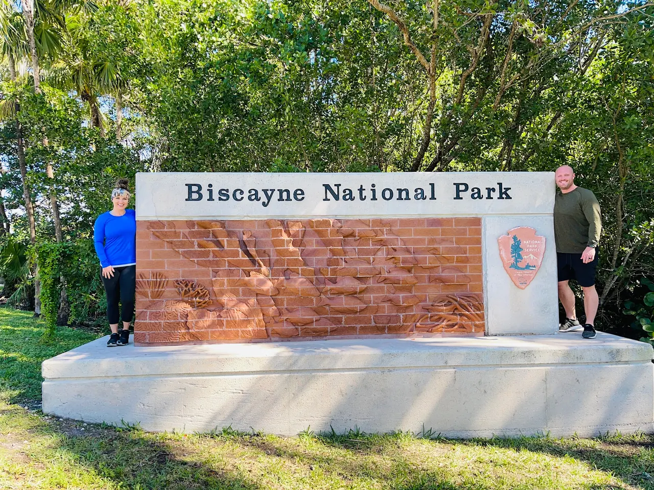
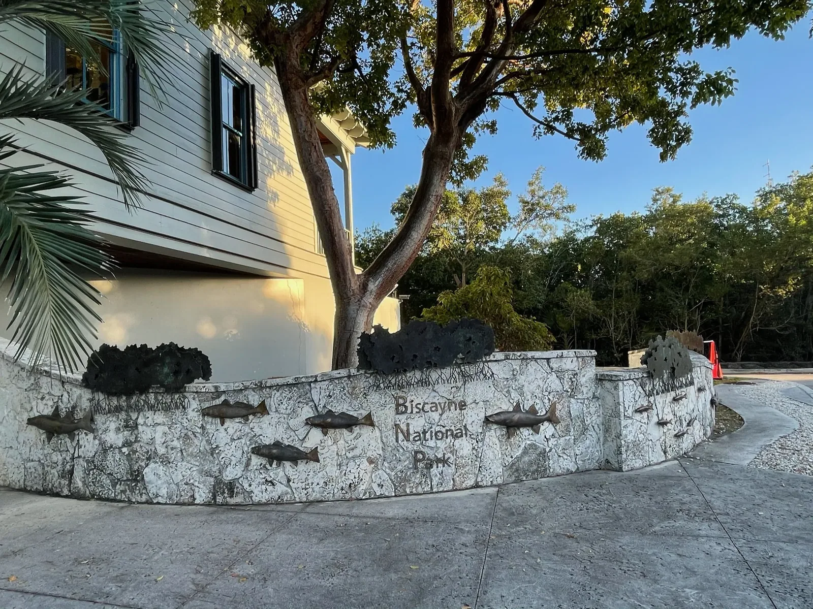
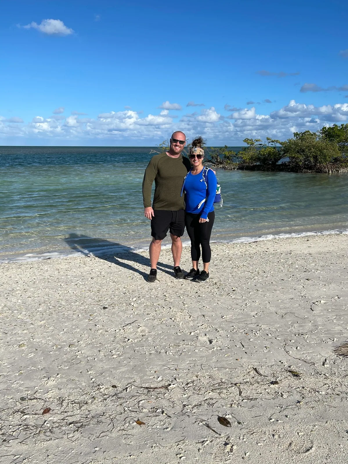
Why it’s on our list
Biscayne protects a beautiful marine environment filled with coral reefs, turquoise water, mangrove islands, and fascinating underwater wildlife. For visitors who love boating, snorkeling, and diving, there’s plenty to appreciate here. However, with approximately 95% of the park covered by water, there is relatively little to experience without a boat, making it one of the more limited national parks for traditional sightseeing and hiking.
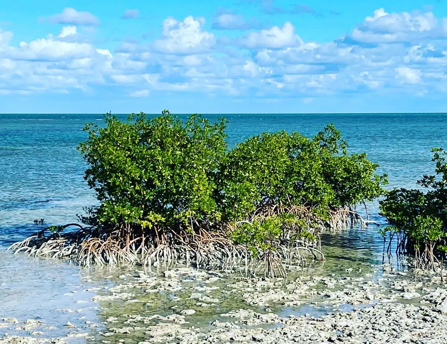
Our favorite moment
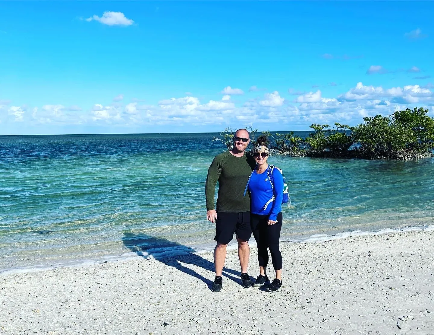
Snorkeling among tropical fish and coral, exploring Boca Chita Key, and visiting one of the historic shipwreck sites.
Photos by David & Keri New.
Firsthand · David & Keri New
Almost all of Biscayne is water. There are coral reefs, mangrove shoreline and little islands like Boca Chita Key, all within sight of the Miami skyline. You need a boat to really see it, and the turquoise water pays you back for the effort. We took a boat out to the Keys and snorkeled. The boat ride out was pretty chilly.
Boca Chita Key Trail
You walk around a tiny island, short and easy, with an old ornamental lighthouse, palm trees and a harbor full of boats. Getting out there by boat is the real adventure.
The park is about 95% water, so book a boat tour or charter ahead of time or you’ll only see the visitor center at Convoy Point. Check the wind and the departures before you go, because trips get canceled in rough weather.
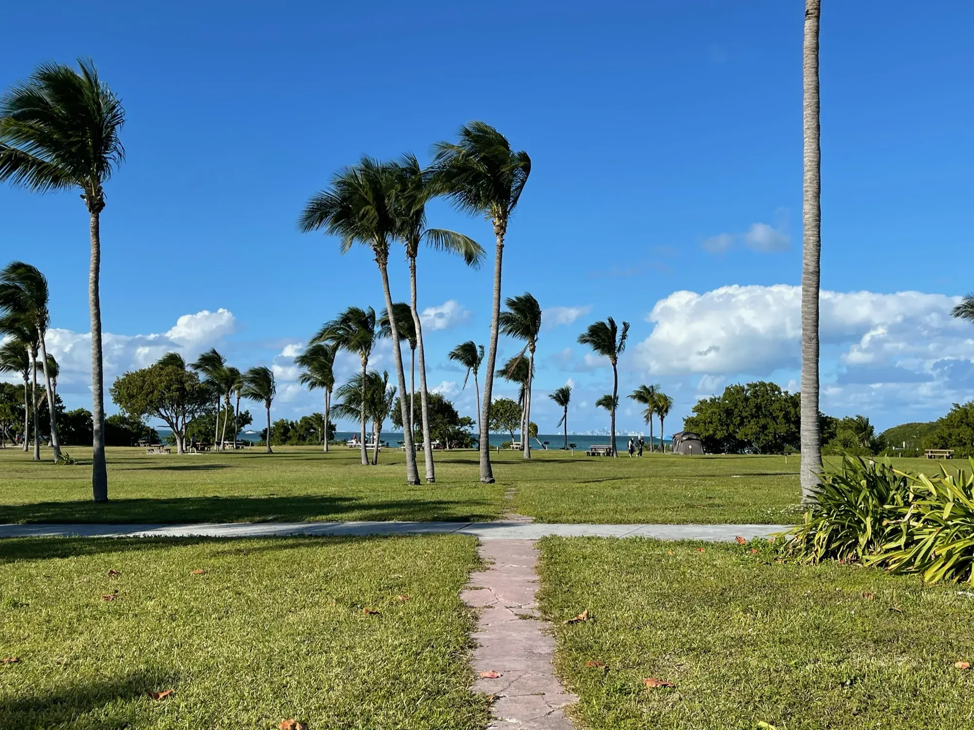
Some time on Elliott Key.
Late December is comfortable, with warm days, lower humidity and holiday boaters out on the bay. We had sun but a strong breeze, which is typical when winter fronts come through and can make the boat ride choppy.
Coral Castle in Homestead is a strange, long-running roadside landmark that one man built out of coral rock. For a milkshake, the Robert Is Here fruit stand in Florida City is close by.
Best time
February, March
Dry season December-April is best (February-March peak). June-September brings heat, storms, heavy bugs and hurricane risk. November rebounds.
Month by monthThe park is about 95% water, with no bridges or ferries to the islands. Getting beyond the Dante Fascell Visitor Center requires a boat. NPS features the Biscayne National Park Institute and other authorized charters for snorkeling and island trips; book ahead and confirm current prices. Last verified · nps.gov
Itineraries
1 dayOur pick
Compare the 1-day plans, day by day →
Map
1 visitor center and 2 of the 3 campgrounds on a map you can zoom and drag. Map data loads from OpenStreetMap when you tap.
Visitor centerCampground Roads and trails are community-mapped; check closures with the park.
Locations from the NPS visitor-center listing, checked Nov 13, 2026. Hours and what each one has
Locations from Recreation.gov, checked Nov 7, 2026. Not on this map: Elliott Key (no Recreation.gov location in our data). Compare all 3 campgrounds
Trails
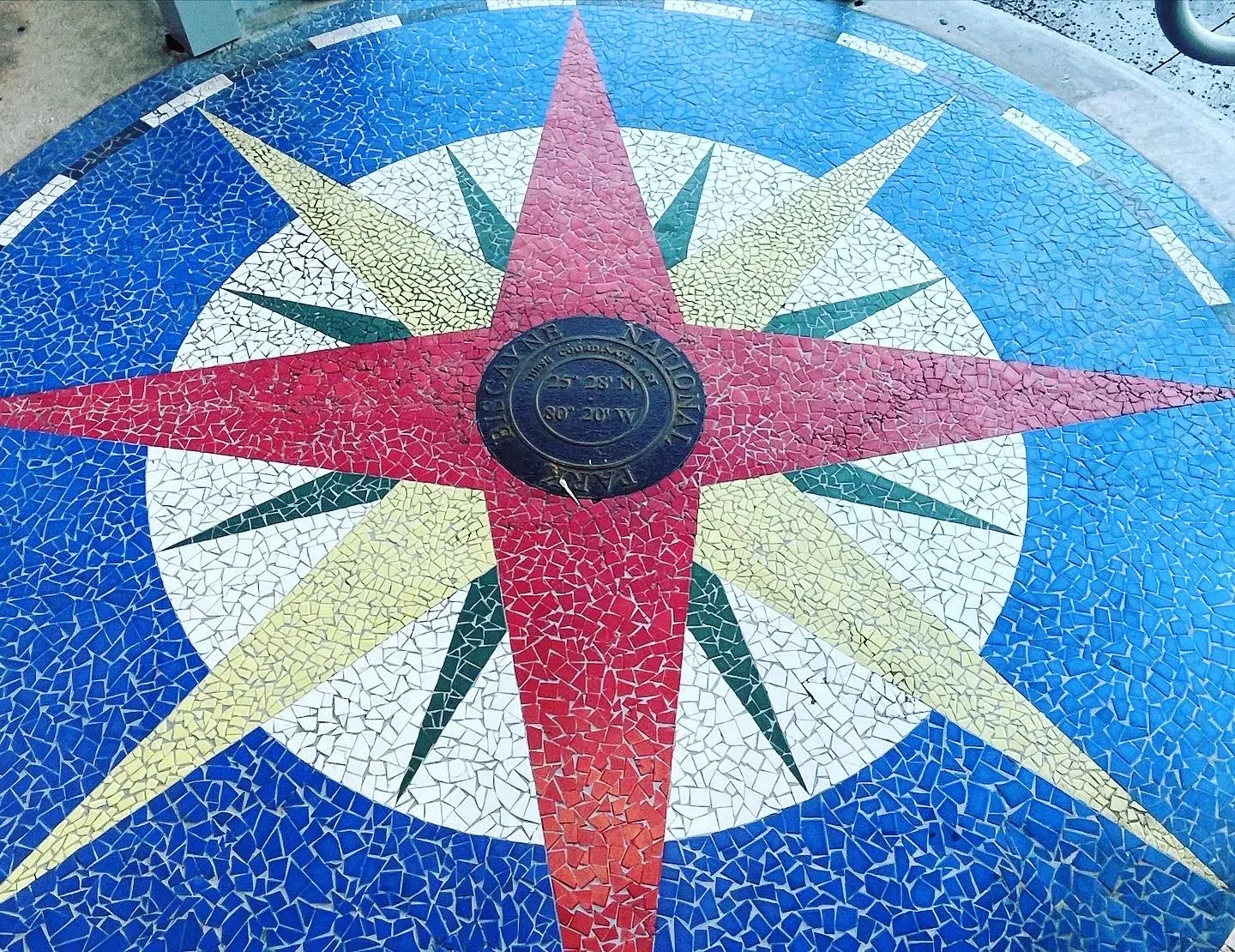
0.8 mi
Ten self-guided stations on boardwalk and gravel. Distance is approximate, measured from the visitor center compass rose and back, following the NPS self-guided trail page.
Out and back · About 15 minutes (estimated)
Start: Near the visitor parking area at Convoy Point.
1 mi
Through tropical hardwood hammock between the bay and ocean sides of the island; starts near the campground. Boat access only.
Loop
Start: Elliott Key marina; reach the island by boat.
6–12 mi
Runs through maritime forest down the center of Elliott Key. Distance is approximate; this uses the island-specific NPS page updated September 24, 2026, rather than the older camping-page figure.
Out and back
Last verified · nps.govVaries
Starts just east of the restrooms and runs to the south end of the island, near the pavilion.
One way (point to point)
Start: East of the Boca Chita Key restrooms; reach the island by boat.
Distances, gains and difficulty as NPS publishes them; the bar shows the published distance, dashed where a longer option exists.
Camping
Fees, permits & rules
Last verified · nps.gov All Biscayne fees, permits and booking deadlines →
Seasonal king tides may flood the Jetty Trail, the Boca Chita and Elliott Key harbors, and other low-lying areas. Avoid flooded areas and obey posted closures.
Last verified · NPS alert (park home page)Pay the $25 day-docking or $60 overnight fee on-site with the Recreation.gov app (download it before you go). The island kiosks have QR codes. Pay on arrival, no later than official sunset. Payment can stay ‘pending’ until you reach cell service.
Last verified · Camping (NPS, updated Sep 2026)The grounds, Jetty Trail, kayak launch and picnic area are open 7 am-5:30 pm. If you use a ride-share, make sure it can pick you up before closing.
Last verified · NPS alertMarkers may be missing or out of place; use caution in park waters.
Last verified · NPS alertJet skis and WaveRunners are prohibited. Use nautical charts (NOAA 11451 covers park waters), and don’t anchor on coral reefs.
Last verified · Boating (NPS)Email me this guide Get a link to the Biscayne guide in your inbox, to open again when you plan or before you go.
One email with the link. We don’t add you to any list unless you tick the box.
Historical recreation visits · 2021–2025 · as of Nov 3, 2026. Visits count entries, not unique people, parking spaces or trail crowding.
Busiest by average count: May. Quietest: Oct. Each bar is that month’s average visits across 5 years; unusual years and reported zeros are included. Past visits can’t tell you the best time of day to arrive.
Every month’s visits and NOAA weather, with the counts for each year →
NPS Visitor Use Statistics: monthly report · NPS monthly data · checked Nov 3, 2026; latest included year 2025.
Plan your visit
For any park: passes and free entrance days · what to pack · visiting with kids · stargazing
Getting there and park logistics →
Find a place to stay near Biscayne → See camping and backup options for this park.
How this page is made. The section “What we’d tell a friend” is ours. Our recorded visits to Biscayne include December 2020.Planning information, including any fees, permits, closures, weather and crowd figures shown here, is compiled from the National Park Service, Recreation.gov and other public sources, and each fact shows the date we last checked it. If something is wrong, tell us and we’ll log the fix on our corrections page.