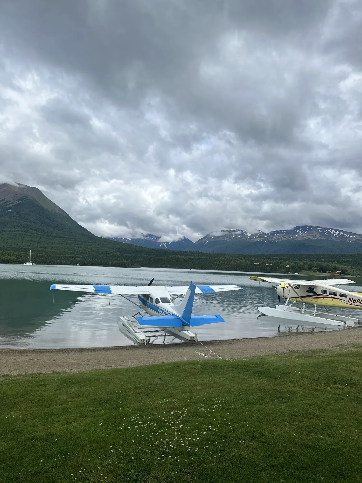
Tanalian Mountain Trail
A steep mountain climb from the Port Alsworth trail system, with muddy or rocky footing and colder, windier conditions above.
Lake Clark · Photo: David & Keri New
- 2.5 miDistance
- 650 ftElevation gain
- 1–12 hrTime
- StrenuousDifficulty
The numbers, with sources
Distance: The steep ascent is roughly 2.5 miles in the accessibility description; the source does not label this as a round-trip total. Source
Gain: Climbs from about 650 feet to 3,900 feet. Those are the start and end elevations, not a measured total climb. Source
Time: 1–12 hours, per the NPS, which says it can be anything from a short evening walk to a day-long summit trip. Source
Difficulty: Steep, with potentially muddy, slippery and rocky surface; some scrambling may be required. Source
Trailhead: Tanalian Mountain Trail in the Port Alsworth area. The NPS doesn’t give an exact parking location. Source
Route type: out-and-back Source
Built from official sources (checked Nov 3, 2026). Confirm current conditions with the park.
Recreation.gov permits, entrances & campgrounds
Recreation.gov (RIDB). Booking records date not published. NPS guidance above takes precedence. A listing doesn’t mean you need a permit or that there’s space on your dates.
Nearby campground records
Within 10 straight-line miles of the trailhead. Distances are straight-line from map coordinates, not driving distances.
- Priest Rock Cabin: approximately 8.9 miles straight line. RIDB coordinates · Mapped route source
Park campground options (2)
These records belong to the park’s NPS recreation area. We haven’t checked how close these are to the trail, when they open or whether sites are free; check the map and the booking page.
Priest Rock Cabin — Campground; RIDB reservable: yes. Season: not published in structured RIDB data. Recreation.gov (RIDB) source · Booking details
Joe Thompson Cabin — Campground; RIDB reservable: yes. Season: not published in structured RIDB data. Recreation.gov (RIDB) source · Booking details
Route, junction by junction
Trailhead → Tanalian Mountain Trail
Climb as far as suits your group on the steep Tanalian Mountain Trail. You don’t have to reach the top. Source
No elevation profile: we only draw one from a mapped route we can verify. Route source
In-depth guide
Compiled from linked sources, checked Nov 2, 2026. Each paragraph links to its source.
Is this hike for you?
The Tanalian Mountain Trail climbs steeply from about 650 ft to 3900 ft in roughly 2.5 miles. Go as far as you like: it can be a short evening walk or, if you’re feeling adventurous, a day-long hike to the top. The NPS gives anywhere from one to twelve hours. You come down the same steep ground, so save energy for it. Source · Source 2
The trail
The surface can be muddy, slippery and rocky, and you may have to scramble in places. Before you climb over something, make sure you can get back down it. Source
Weather, water and food
The trail is steep, so bring a lot of water and snacks; the NPS doesn’t name anywhere to refill. It’s usually colder and windier at the top, so bring extra layers. Rain can come any time in Southwest Alaska, so carry rain gear even on sunny days, and remember wet ground makes the trail more slippery. Source
Getting there
Port Alsworth isn’t connected to the road system, so sort out how you’ll get there and back before you plan the hike. Source
Kids and dogs
There are bears in the area. Kids should be with adults, and the steep trail may not suit some children. The NPS doesn’t rate it for strollers or wheelchairs. Pets are allowed on a leash at all times, but because Lake Clark is excellent bear and moose habitat, the NPS strongly encourages leaving them at home. Source
Elevation profile
The elevation chart follows the NPS map line for the mountain trail. On that line the USGS terrain model measures 2.85 miles one way, with elevations from about 606 to 3,845 feet and about 3,239 feet of climbing and 2 feet of descent going up. These are our estimates, not NPS figures, and we haven’t stretched the line to match the NPS mileage. The chart is smoothed (a fifty-meter window and a three-meter threshold), so short steps and small rises may not show. Source · Source 2
Sources & planning limits
Reviewed 2026-11-03. Check current conditions for your trip dates.
Getting there and back
Port Alsworth is not connected to the road system. Arrange access and the return before planning the walk. Source
Return: Reverse the climb to the starting trail network. The distance to a chosen turnaround must include returning down the same terrain. Source
Water
NPS advises bringing a lot of water and snacks; the activity doesn’t confirm an on-route refill. Source
NPS advises bringing a lot of water and snacks; the activity doesn’t confirm an on-route refill. Source
Hazards
Muddy, slippery or rocky ground and possible scrambling. Source
Bears in the area; children should be accompanied by adults. Source
Colder windier mountain conditions and rain require layers and rain protection. Source
Season
Rain can occur at any time in Southwest Alaska; higher ground is usually colder and windier. Source
Rain can occur at any time in Southwest Alaska; higher ground is usually colder and windier. Source
Gear & rules
Pets must be leashed at all times; NPS strongly encourages leaving them at home because of bear and moose habitat. Source
Filling a gap in your kit? Compare these packing essentials on Amazon. Choose gear for your route, conditions and the park’s guidance.
As an Amazon Associate we earn from qualifying purchases. How this works
Pets must be leashed at all times; NPS strongly encourages leaving them at home because of bear and moose habitat. Source
Questions
Is the full summit required?
No. The NPS says to walk as far as you like, from a short walk to a day-long climb. Source
Is 650 to 3,900 feet the total climb?
No. Those are approximate endpoint elevations; the guide does not turn them into a separately measured gain. Source