Bartlett Cove Forest Loop Trail
Bartlett Cove has the only developed trails in the park. The forests and shorelines offer great hiking opportunities through a beautiful setting and a chance to see all manner of wildlife. Spend some time, stretch your legs, and discover the wonders of the park!
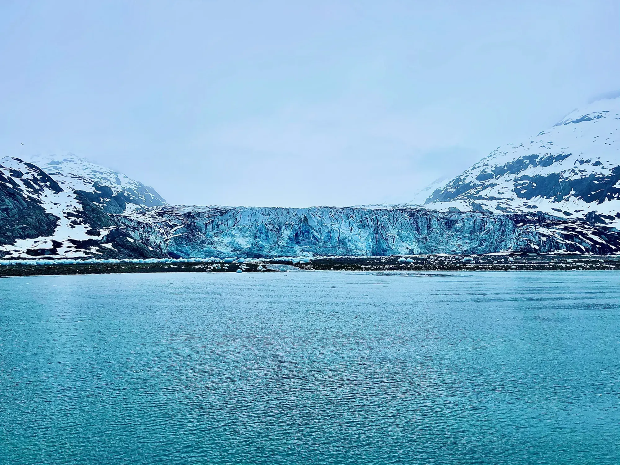
Glacier Bay · Photo: David & Keri New
- 1 miDistance
- 30 minTime
- EasyDifficulty
The numbers, with sources
Distance: 1-mile loop Source
Gain: The NPS doesn’t publish the elevation gain. Source
Time: 30 minutes–1.5 hours Source
Difficulty: Roots, rocks and muddy paths, per the NPS Bartlett Cove page Source
Trailhead: Bartlett Cove Source
Route type: loop Source
Built from official sources (checked Nov 3, 2026). Confirm current conditions with the park.
Recreation.gov permits, entrances & campgrounds
Recreation.gov (RIDB). Booking records date not published. NPS guidance above takes precedence. A listing doesn’t mean you need a permit or that there’s space on your dates.
Park campground options (1)
These records belong to the park’s NPS recreation area. We haven’t checked how close these are to the trail, when they open or whether sites are free; check the map and the booking page.
Bartlett Cove Campground — Campground; RIDB reservable: no. Season: not published in structured RIDB data. Recreation.gov (RIDB) source
NPS reservation guidance: No reservations. Campground is first-come, first-served. Campers are required to attend a camper orientation to register for a site. NPS source
Route, junction by junction
Trailhead → Selected destination or loop
The NPS describes wet Southeast Alaska trails with roots, rocks and muddy areas. Its ranger recommendation is sturdy shoes with good traction, with rubber boots noted as a popular choice. The NPS describes ponds, glacial features and forest change along the Forest Loop. Stop to look, but stay on the trail. Source
No elevation profile yet:
No elevation profile yet: we haven’t verified complete measurements for this route. Source
In-depth guide
Compiled from linked sources, checked Nov 2, 2026. Each paragraph links to its source.
Is this hike for you?
The Forest Loop is a 1-mile loop through temperate rainforest at Bartlett Cove in Glacier Bay. The NPS gives 30 minutes to 1.5 hours, which leaves time to stop at the ponds and the signs about glacial features and how the forest has changed. It’s a dirt path with roots, rocks and muddy patches. Source · Source 2
It’s one of four trails in the Bartlett Cove area, along with the Bartlett River Trail, the Bartlett Lake Trail and the Tlingit Trail. They vary in length and suit a range of abilities and ages. The NPS’s general hiking notes cover all four, so the 1 mile and the time range above are for the Forest Loop only. There’s no trail along the shoreline, but exploring it from Bartlett Cove is another good way to see the park. Source
The trail
The wet climate of Southeast Alaska makes the trails muddy and often slippery. The NPS recommends sturdy shoes with good traction, and rubber boots (SE Alaskan Sneakers) are popular here. Watch where you step and take your time. Source
Getting to the trailhead
The trail starts at Bartlett Cove. The NPS doesn’t give more detailed directions, so check the park’s hiking page and the trailhead map, and make sure you’re on the Forest Loop and not one of the longer trails. Source
Before you go
The NPS lists the trail for every season. We didn’t find a current alert for it, but check the park’s alerts and the trailhead signs before you go. If the footing gets bad or the group is slower than you expected, turn back. Source · Source 2
The NPS doesn’t list water or restrooms on the trail. Bring water and a rain layer. Source
The NPS doesn’t publish an elevation gain, and there’s no elevation profile yet: we haven’t verified complete measurements for this route. Source · Source 2 · Source 3
Kids, strollers and wheelchairs
The NPS says the Bartlett Cove trails vary in grade and width and are all dirt paths with roots, rocks and mud. It doesn’t give a minimum age or rate them for strollers or wheelchairs. Source
Getting there and back
Bartlett Cove Source
Return: Come back the way described above. Complete the chosen loop to the original start. Source
Water
No complete route-specific drinking-water or restroom schedule confirmed. Carry water for the whole hike. Source
Hazards
The trails vary in grade and width. All are dirt paths, with roots, rocks, and muddy areas. Source
Season
Use current official conditions; activity season labels are not a guarantee of access. Source
Current trail conditions require a trip-date check. Source
Gear & rules
Follow current signs and closures, and treat any side trip as a separate decision. Source
Filling a gap in your kit? Compare these packing essentials on Amazon. Choose gear for your route, conditions and the park’s guidance.
As an Amazon Associate we earn from qualifying purchases. How this works
The NPS doesn’t publish a pet rule for this exact route. Confirm the applicable rule before bringing an animal. Source
Questions
Which route do these figures describe?
1-mile loop The Forest Loop is one of the developed walks at Bartlett Cove. The NPS hiking activity groups it with the Bartlett River, Bartlett Lake and Tlingit trails, so its general description must not be treated as a single complete route. This page covers the Forest Loop and keeps the longer trails separate. Source
Is the trail open right now?
No. NPS details as of Nov 3, 2026. Confirm current conditions and closures with NPS. Source
Is there a measured elevation profile?
No elevation profile yet: we haven’t verified a complete line for this route. Source
Alternatives
The detailed NPS hiking page supplies the missing route-specific distance and duration: one mile as a loop, with a range of 30 minutes to 1.5 hours. That page is used only to fill those measurement gaps. The NPS pages are still the source for the hike, its access limits and park operations. Source