Gates of the ArcticTrail guides
Brooks Range — off-trail planning
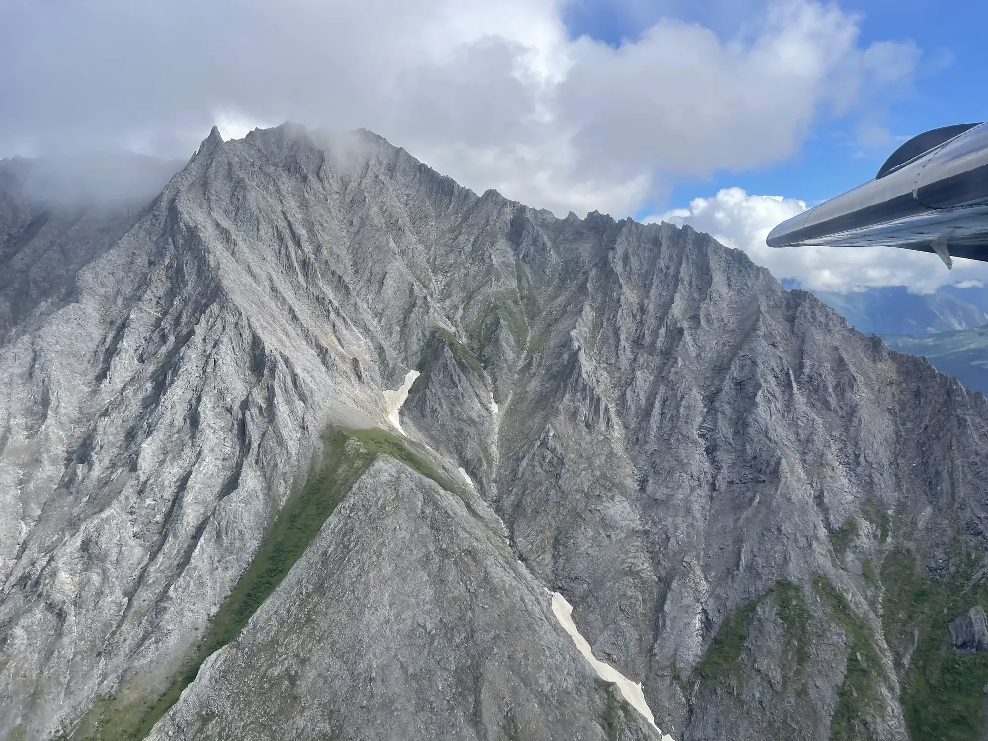
The NPS activity describes exploring ridges and passes, while its accessibility field explicitly states that the park has no development, trails or services. That doesn’t make any particular line safe. A specific route, crossing plan and emergency arrangements require independent wilderness planning.
Gates of the Arctic · Photo: David & Keri New
The numbers, with sources
Distance: Not available: there’s no set route. Source
Gain: Not available: no confirmed total climb. Source
Time: Unavailable: no prescribed walking duration. Source
Difficulty: Undeveloped wilderness; no trails or services. Source
Trailhead: The NPS doesn’t publish this for the whole route. Consult the official route description and park map for the start. Source
Route type: Off-trail; no fixed route Source
Built from official sources (checked Nov 3, 2026). Confirm current conditions with the park.
Recreation.gov permits, entrances & campgrounds
Recreation.gov (RIDB). Booking records date not published. NPS guidance above takes precedence. A listing doesn’t mean you need a permit or that there’s space on your dates.
Route, junction by junction
Route selection → Described destination
The NPS activity describes exploring ridges and passes, while its accessibility field explicitly states that the park has no development, trails or services. That doesn’t make any particular line safe. A specific route, crossing plan and emergency arrangements require independent wilderness planning. Source
No elevation profile yet:
No elevation profile yet: we haven’t verified a complete line for this route. No partial line, invented connector, scaled mileage or flat profile is substituted. Source
In-depth guide
Compiled from linked sources, checked Nov 3, 2026. Each paragraph links to its source.
Is this trip for you?
Backpacking in Gates of the Arctic means picking your own way along mountain ridges and over passes into some of the most remote, least traveled country in the National Parks system. The park has zero development, trails or services. There’s no published route, so the NPS gives no distance, elevation gain or hiking time. Source
Planning the route
You plan everything yourself: the route, crossings and what you’ll do in an emergency. There are no junctions to follow, no loop to split into days and no confirmed pickup at the end of a traverse. Use the NPS wilderness backpacking information for Gates of the Arctic to decide whether your group has the experience and gear for this kind of trip. Source
Getting there and back
The NPS doesn’t publish this for the whole route. Consult the official route description and park map for the start. Source
Return: Use the return described in the official route account. Don’t count on a shuttle, boat, flight or pickup unless you have confirmed it yourself. Source
Water
The NPS doesn’t publish a full list of water and restrooms along this route. Use only the facilities explicitly identified in the NPS account; confirm current operations. Source
Hazards
Treat the absence of junction instructions as a real planning limit. There is no published loop length to divide into daily stages and no confirmed pickup at the end of a traverse. Use the official wilderness information to decide whether the group has the experience and equipment for this kind of trip before choosing a route. Source
Season
This page can’t tell you current access. Check NPS conditions before departure. Source
Check current conditions and seasonal access with the park before you go. Check the park before departure. Source
Gear & rules
Respect current closures, signs and barriers. A mapped path is not proof that travel is permitted. Source
Filling a gap in your kit? Compare these packing essentials on Amazon. Choose gear for your route, conditions and the park’s guidance.
As an Amazon Associate we earn from qualifying purchases. How this works
The NPS doesn’t publish a pet rule for this exact route; confirm with the park before bringing an animal. Source
Questions
Which hike is this?
The NPS activity describes exploring ridges and passes, while its accessibility field explicitly states that the park has no development, trails or services. That doesn’t make any particular line safe. A specific route, crossing plan and emergency arrangements require independent wilderness planning. Not available: there’s no set route. Source
Is a measured elevation profile available?
No elevation profile yet: we haven’t verified a complete line for this route. No partial line, invented connector, scaled mileage or flat profile is substituted. Source
Alternatives
Alternative-route distances and durations are unavailable unless separately described in the source. Side trails aren’t included. Source