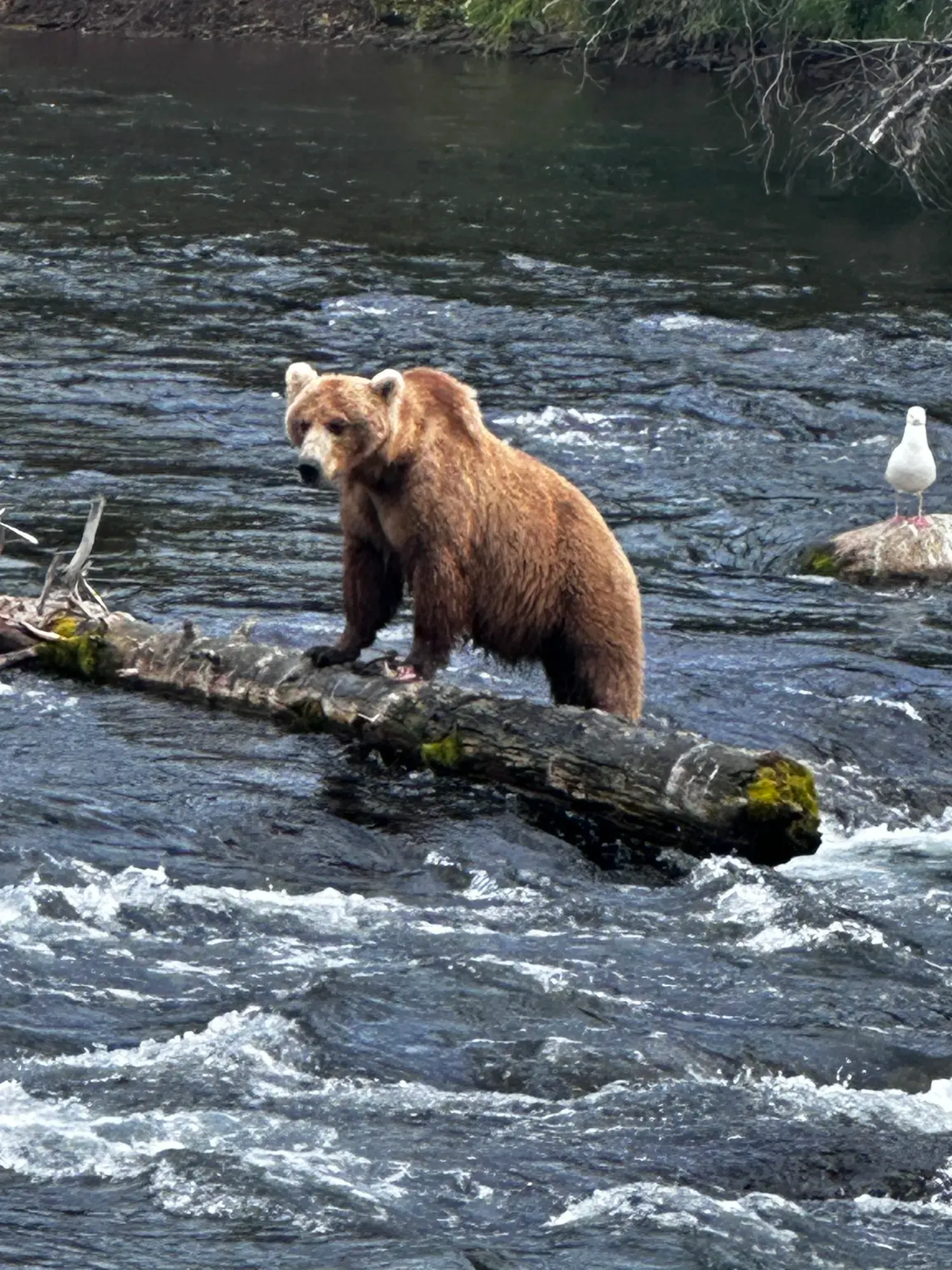
Brooks Falls Trail
This trail leads to the Brooks Falls and Riffles Platform along Brooks River.
Katmai · Photo: David & Keri New
- 0.6 mi one wayDistance
- EasyDifficulty
The numbers, with sources
Distance: 0.6 miles one way from the Falls Trailhead; approach from South Platform is additional. Source
Gain: The NPS doesn’t publish the elevation gain. Source
Time: No official duration confirmed; bear encounters can interrupt travel. Source
Difficulty: Unpaved trail with frequent possible bear encounters Source
Trailhead: Use the signed trailhead named on the NPS trail page. Source
Route type: out-and-back Source
Built from official sources (checked Nov 3, 2026). Confirm current conditions with the park.
Recreation.gov permits, entrances & campgrounds
Recreation.gov (RIDB). Booking records date not published. NPS guidance above takes precedence. A listing doesn’t mean you need a permit or that there’s space on your dates.
Park campground options (1)
These records belong to the park’s NPS recreation area. We haven’t checked how close these are to the trail, when they open or whether sites are free; check the map and the booking page.
Fure’s Cabin — Campground; RIDB reservable: yes. Season: not published in structured RIDB data. Recreation.gov (RIDB) source · Booking details
Route, junction by junction
Trailhead → Selected destination or loop
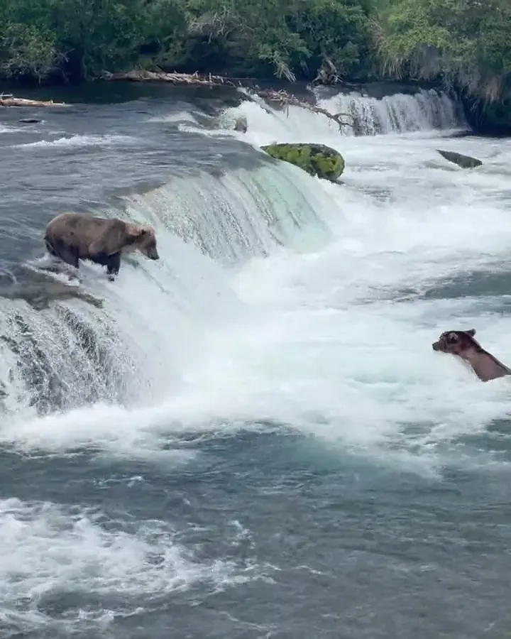
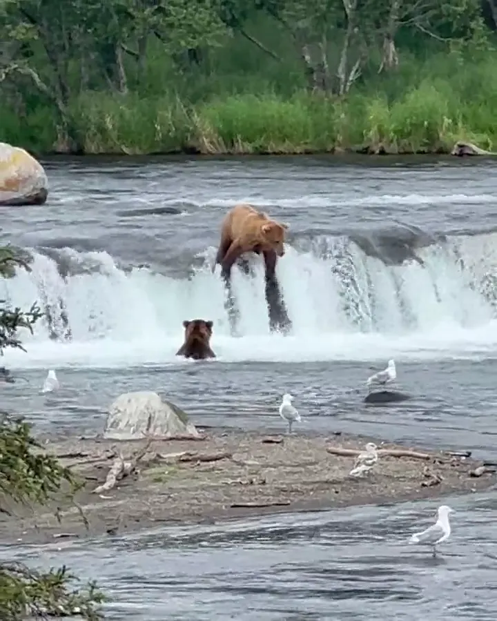
The unpaved forest trail ends at raised viewing platforms along Brooks River. NPS highlights July salmon-run viewing and warns of frequent bear encounters, particularly in July and September. Bears may be walking or sleeping along the trail. A delay to let a bear pass is part of the access problem, not a reason to move closer. Source
1: Brooks Falls Trailhead · 2: Brooks Falls Platform
Traced line: 0.60 mi one way, about 17 ft of climbing and 27 ft of descent. Brooks Falls Trailhead to Falls Platform; one-way trail and boardwalk shown, South Platform approach excluded.
USGS 3DEP samples ground-surface terrain beneath the elevated boardwalk; this is not a survey of deck height.
Elevations: USGS 3DEP (public domain). Route: National Park Service GIS. Terrain sampling and smoothing can miss short climbs and steep steps.
Elevation waypoint table
| Waypoint | Mile | Elevation (ft) |
|---|---|---|
| 1. Brooks Falls Trailhead | 0.00 | 68 |
| 2. Brooks Falls Platform | 0.60 | 58 |
Method: Centered 50 m moving average (5 m trapezoidal integration; clamped endpoints); 3 m hysteresis. Elevations and distances are estimates along the mapped route. Published route figures.
In-depth guide
Compiled from linked sources, checked Nov 3, 2026. Each paragraph links to its source.
Is this hike for you?
Brooks Falls is the most popular trail in Katmai: a quiet walk through boreal forest that ends at two raised platforms looking down on brown bears fishing in the Brooks River. The trail is 0.6 miles one way, and the trailhead is another 0.3 miles from the South Platform, so add that to your walk. Bear viewing at the falls is best during the July salmon run. The NPS doesn’t give a hiking time, and bears on the trail can hold you up. Source
Bears on the trail
Bears are often walking or sleeping along the Falls Trail, especially in July and September, and you can run into them along its entire length. Be ready to step off the trail to let a bear pass, and never move closer. Ask the rangers for current bear rules before you set out. Source
The trail
The trail begins across from the vault toilets, .3 miles from the South Platform, and comes back the same way. It’s unpaved. Plan for delays and agree with your group on when you’ll head back. Source
Wheelchairs and kids
The NPS says the trail is wheelchair accessible but warns it will be hard to move off the trail during a bear encounter. Think about that before you go, and talk to a ranger if anyone in your group can’t easily step aside. The NPS doesn’t give a minimum age. Source
Distance and elevation
The NPS trail map measures the route at 0.599 miles one way. The elevation chart uses USGS 3DEP ground-surface terrain under the raised boardwalk, not the height of the deck, so it won’t show steps or the grade a wheelchair would face, and it can miss short climbs. The NPS doesn’t publish an elevation gain. Source · Source 2 · Source 3
The chart follows NPS trail segments 30486, 31461 and 29343 to the Falls Platform. It leaves out the Ripples Platform branch (29944) and the walk from the South Platform. Source · Source 2
Before you go
The NPS doesn’t give a season for this trail. Check the park’s current alerts and look at the signs at the trailhead. If the trail is closed, don’t go. Source · Source 2
The NPS lists vault toilets at the trailhead but no water. Bring what you need, plus a layer and any medication. Source
Dogs, permits and fees
The NPS doesn’t publish a pet rule for this trail, so check the park’s pet rules first. We found no permit or reservation requirement for walking the trail. Stay on it and follow posted signs. Source
The NPS lists no entrance fee for this park. Source
Sources & planning limits
Reviewed 2026-11-03. Check current conditions for your trip dates.
- Park information changes. Check access, services and reservations for your travel date. Source
- The elevation chart uses USGS 3DEP ground-surface terrain under the raised boardwalk, not the height of the deck.
Getting there and back
Check the official map for where the trail starts. Source
Return: Come back the way described above. Return along the same trail unless a separate transport plan has been confirmed. Source
Water
The Brooks Falls Trail begins across from the vault toilets .3 miles from the South Platform. Source
Hazards
Read the NPS trail page and current conditions before you go. Source
Season
Use current official conditions; activity season labels are not a guarantee of access. Source
Current trail conditions require a trip-date check. Source
Gear & rules
Follow current signs and closures, and treat any side trip as a separate decision. Source
Filling a gap in your kit? Compare these packing essentials on Amazon. Choose gear for your route, conditions and the park’s guidance.
As an Amazon Associate we earn from qualifying purchases. How this works
The NPS doesn’t publish a pet rule for this exact route. Confirm the applicable rule before bringing an animal. Source
Questions
Which route do these figures describe?
0.6 miles one way from the Falls Trailhead; approach from South Platform is additional. Brooks Falls is a bear-viewing walk whose logistics cannot be reduced to distance. The NPS Falls Trailhead page gives 0.6 mile one way from the trailhead, and the trailhead itself is another 0.3 mile from South Platform. So the 0.6 mile isn’t a full Brooks Camp round trip. Source
Is the trail open right now?
No. NPS details as of Nov 3, 2026. Confirm current conditions and closures with NPS. Source
Is there a measured elevation profile?
Yes. USGS 3DEP samples ground-surface terrain beneath the elevated boardwalk; this is not a survey of deck height. Source
Alternatives
The NPS says the trail is wheelchair accessible, but warns that moving off the trail during a bear encounter can be hard. Keep both parts of that statement together. Before committing to the route, obtain current ranger instructions for bear encounters and platform access rather than relying on a simple accessibility label. Source
Camp near Brooks Falls Trail
Closest campgrounds by drive time to Brooks Falls Trailhead:
- 0 min Fure’s Cabin (0 mi, in the park)
Driving time with no traffic (OSRM, OpenStreetMap roads). Some park roads are shuttle-only in season. All camping near Katmai
More Katmai trail guides
- Dumpling Overlook Trail3 mi · Strenuous