Our favorite hike
Root Glacier Trail
The trail starts right in Kennecott and takes you out onto the ice of a real glacier. Once you’re out there, it’s all blue pools, ridges and ice caves.

Alaska
Mountains, glaciers and the Kennecott mill town, reached by two long gravel roads or by small plane.
By David & Keri New, who have visited 63 of the 64 U.S. national parksUpdated
27Park 27 of our 63Visited Aug 2021
Saves this park and its trail guides on this device. Alerts and conditions are as of when you save; live maps and bookings need a connection.
NPS alertsAs of 6:03 AM ET, Nov 20
3 days is our starting point.
Allow three calendar days including travel in and out, with one full day for Kennecott and Root Glacier. With four days, separate the mill and glacier trips. Confirm each activity and the return transfer before deciding which plan fits.
Open the 3-day itineraryOpen the 4-day itineraryMcCarthy Road and Kennecott access
With only a few hours, visit the Wrangell-St. Elias Visitor Center at mile 106.8 Richardson Highway near Copper Center for the film, exhibits and a short trail. It opens only in summer; all park visitor centers close October through April.
Drive the Nabesna Road, a 42-mile gravel road that starts near Slana, about 75 miles northeast of Copper Center. It has 3 stream crossings, and after rain NPS recommends 4-wheel-drive or high-clearance vehicles. There is no fuel in the park.
If your rental cannot use McCarthy Road, confirm a private road transfer or a flight and lodge pickup. For arrivals at the road end, cross the Kennicott River footbridge and confirm onward service from the east side. If neither inbound option works, use an open Copper Center visitor-center day and reschedule Kennecott.
Open the backup itineraryMcCarthy and Kennecott shuttlesWrangell–St. Elias air accessKennicott River footbridge
McCarthy or Kennecott for the mill and glacier
Ask your lodging where it can pick you up and how to get there from the footbridge or airstrip. Copper Center or Glennallen is useful for a visitor-center day or as a staging night. Allow separate time for travel to McCarthy.
Lodging and gateway townsMcCarthy and Kennecott shuttlesMcCarthy Road and Kennecott access
Confirm your rental agreement and McCarthy Road conditions first. If driving is unsuitable, compare a confirmed road transfer with a flight to McCarthy. Match the return trip and last leg to lodging before booking the mill or glacier trip.
McCarthy Road and Kennecott accessMcCarthy and Kennecott shuttlesWrangell–St. Elias air accessGetting to the park
Kennecott is about seven to eight hours by car from Anchorage, ending on the 59-mile gravel McCarthy Road. Everyone parks at the Kennicott River bridge; there is no vehicle access to Kennecott. A private shuttle runs in summer only, and winter has no services.
Our visit
August 2021
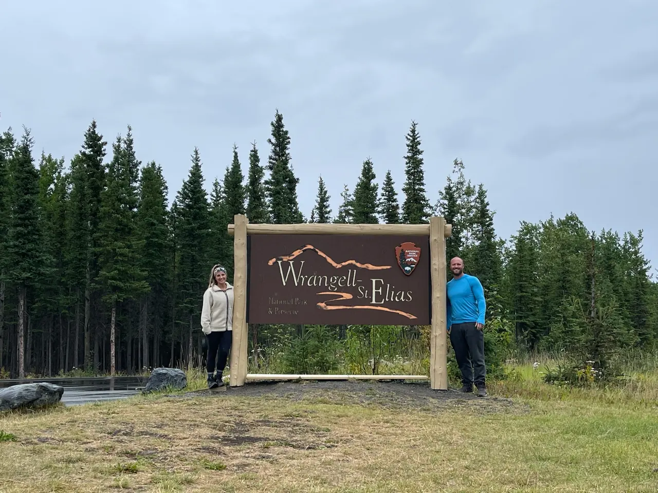
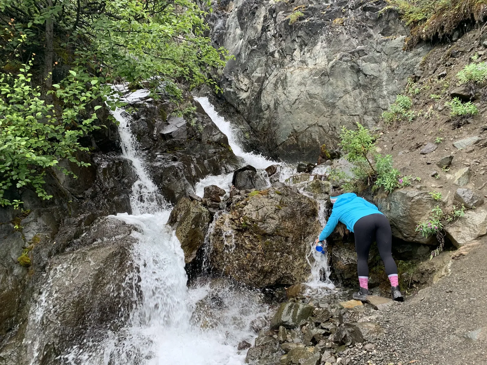
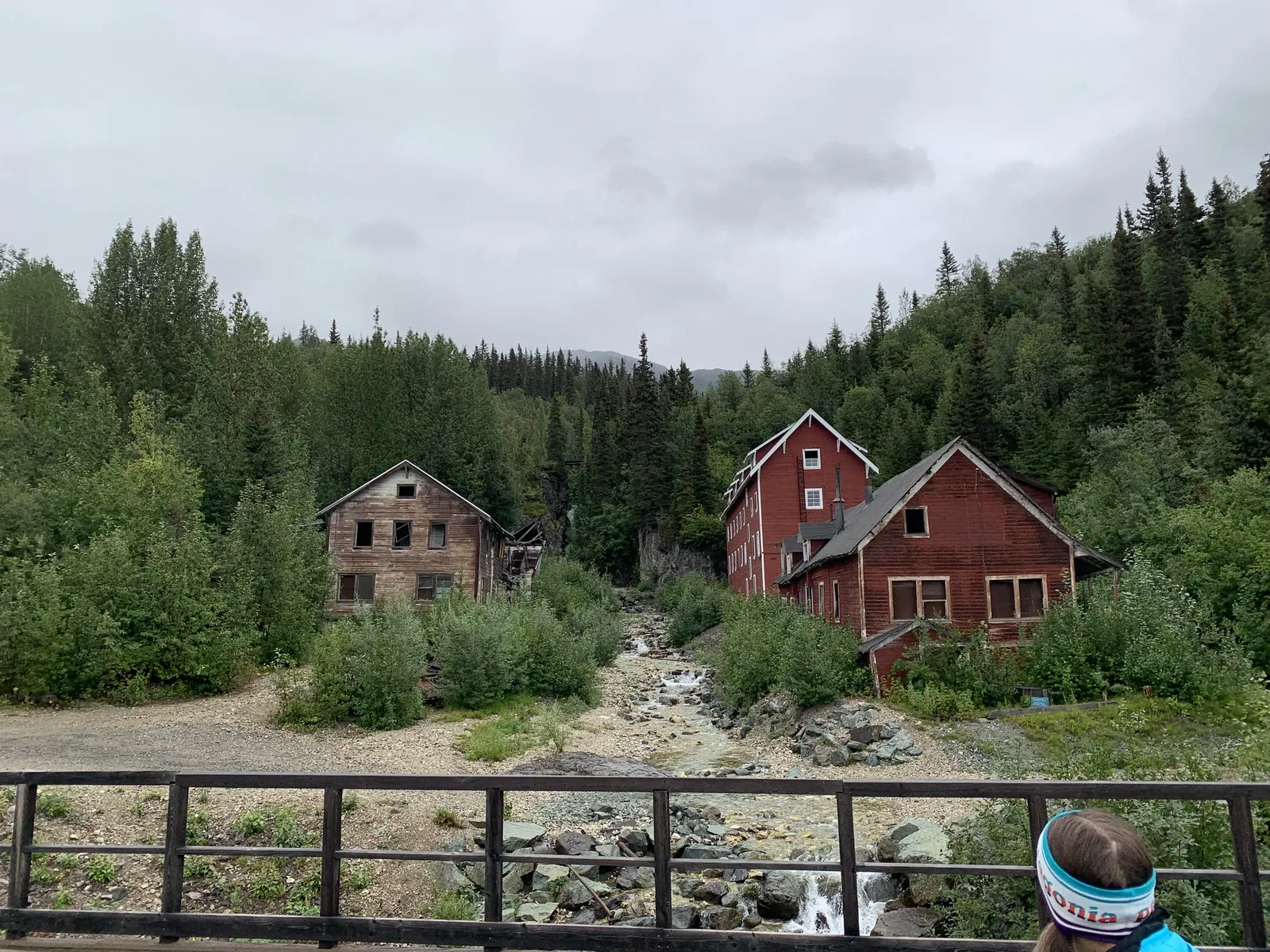
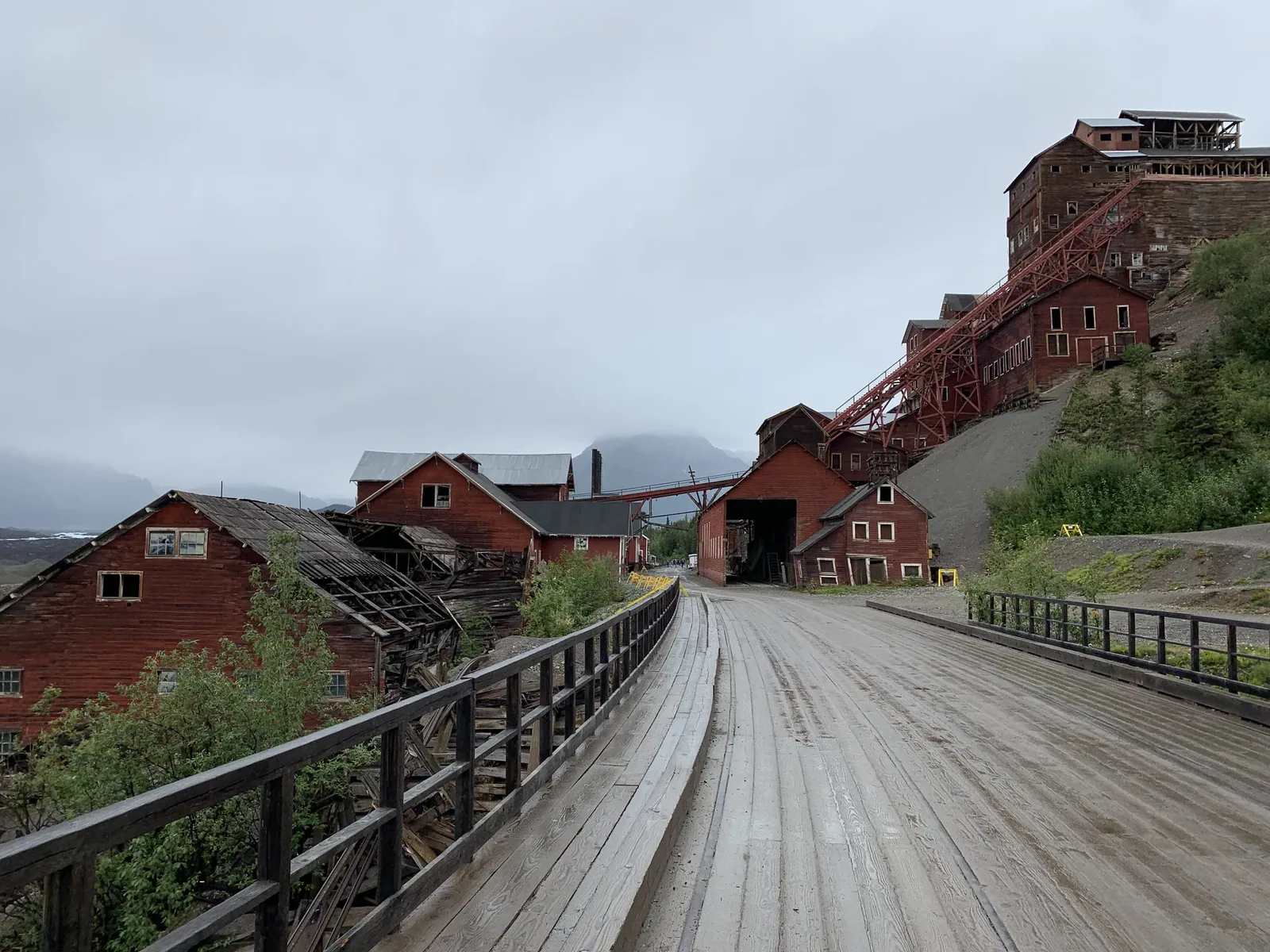
Why it’s on our list
The sheer size and remoteness of Wrangell–St. Elias are almost impossible to comprehend until you experience them. Massive glaciers, towering mountains, and seemingly endless wilderness make this one of America’s greatest national park adventures.
Our favorite moment
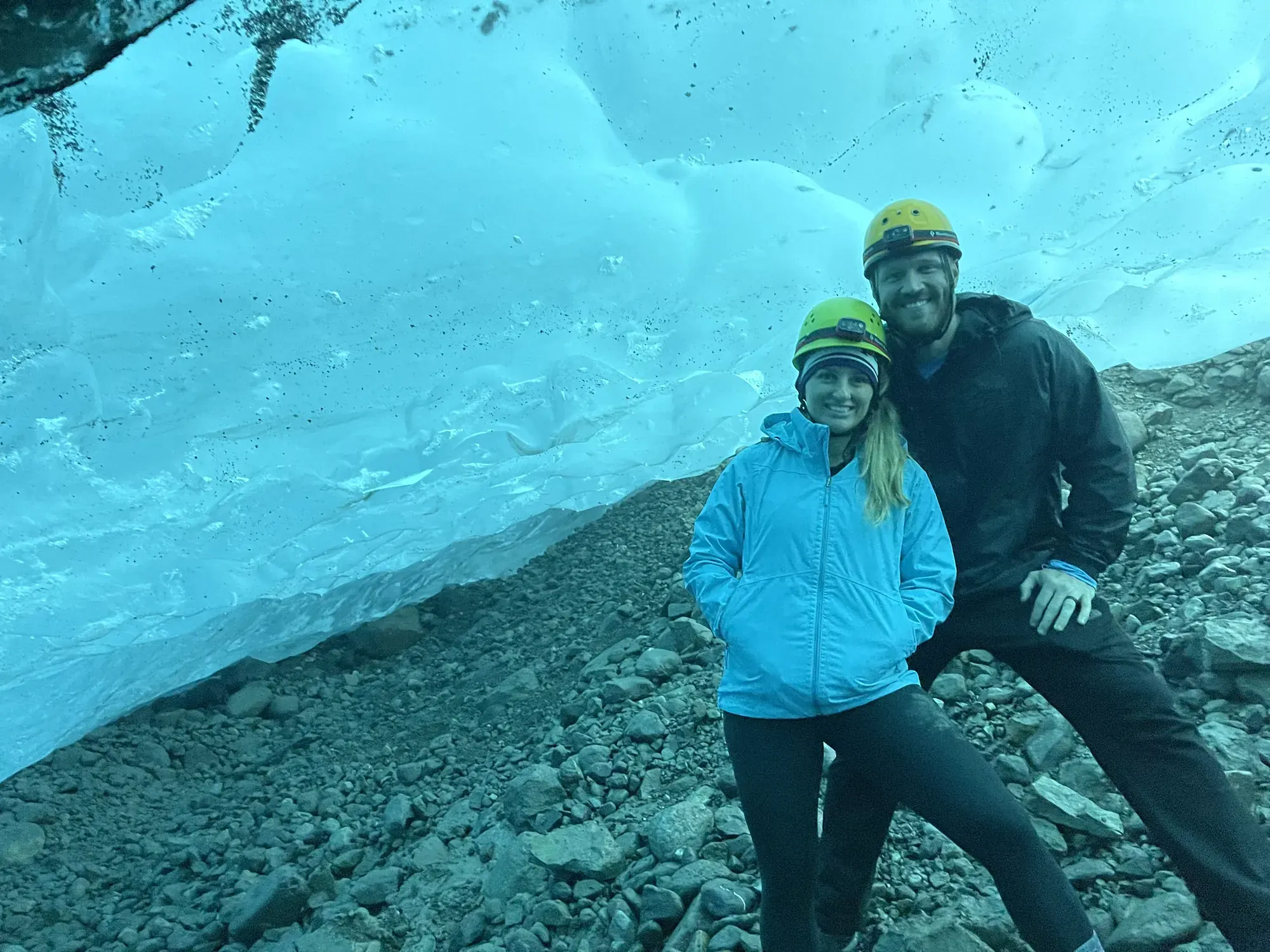
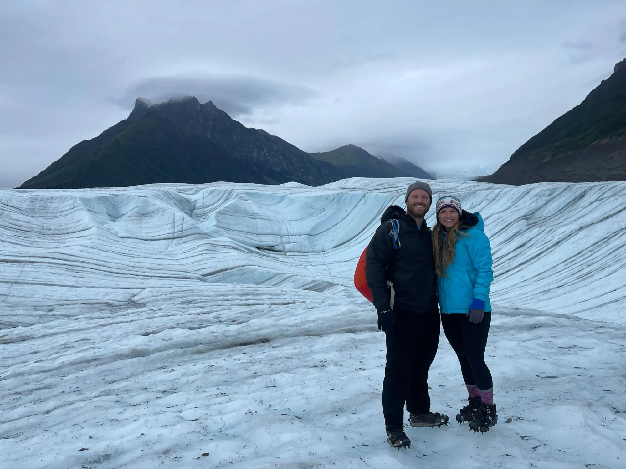
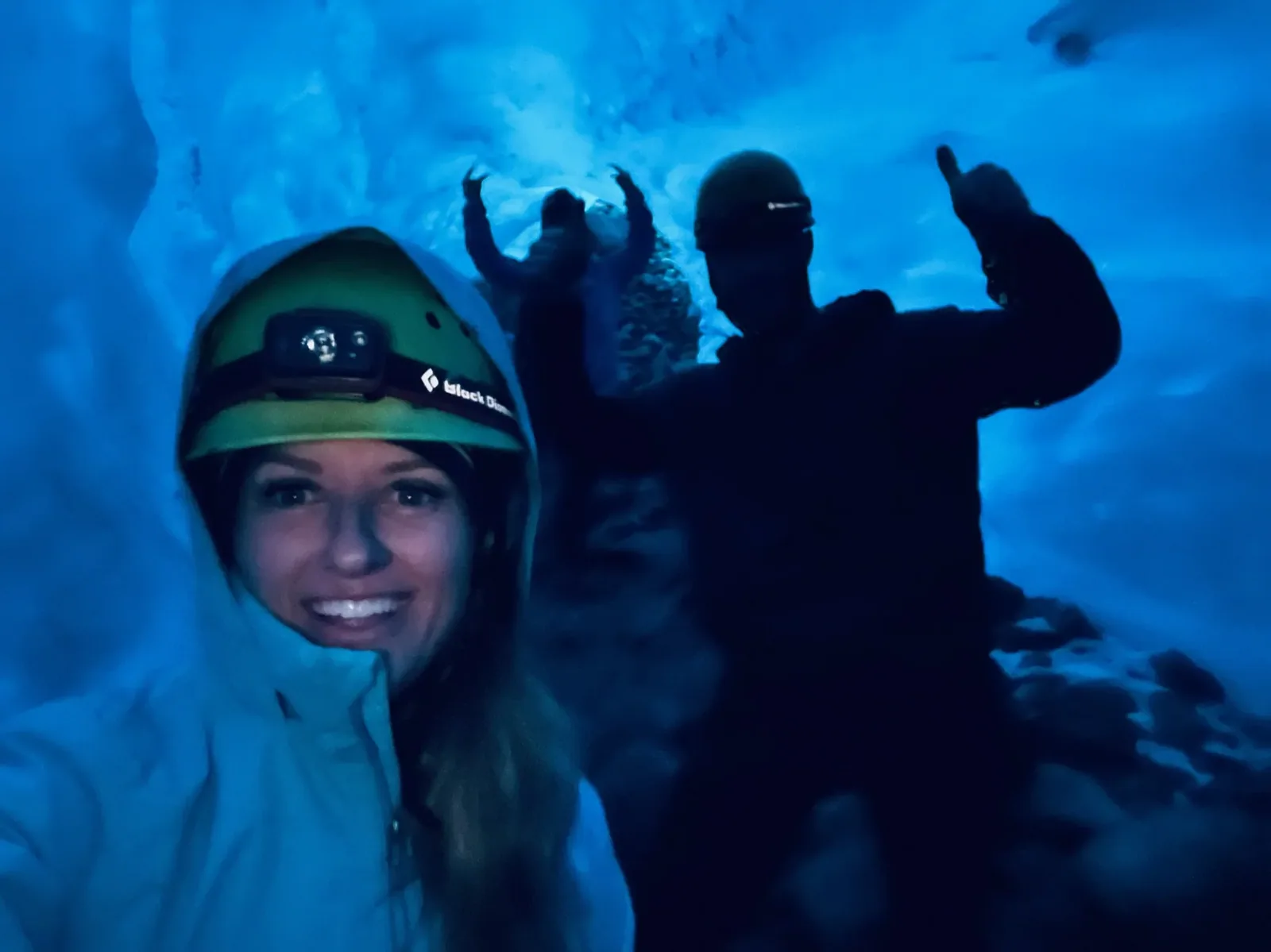
Walking on Root Glacier, exploring Kennecott, and flying over glaciers. We also went with a tour guide and walked through underground ice caves.
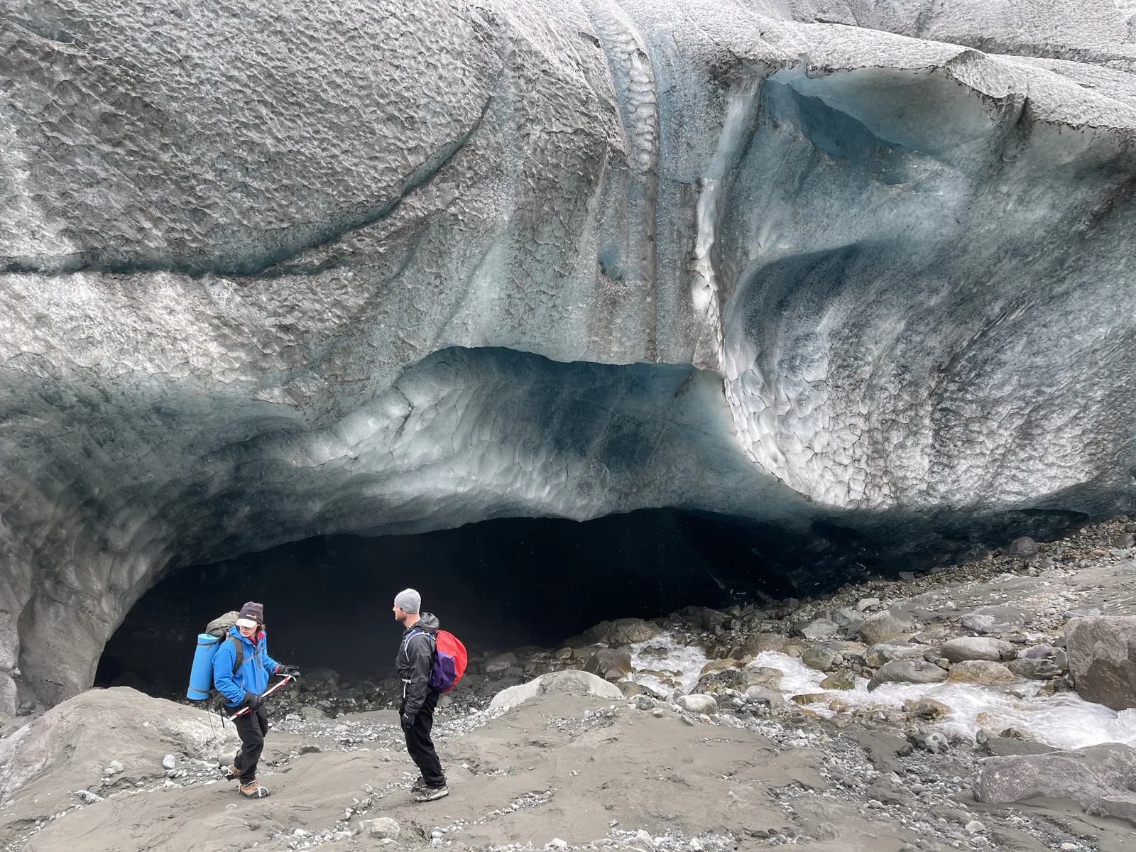
Photos by David & Keri New.
Firsthand · David & Keri New
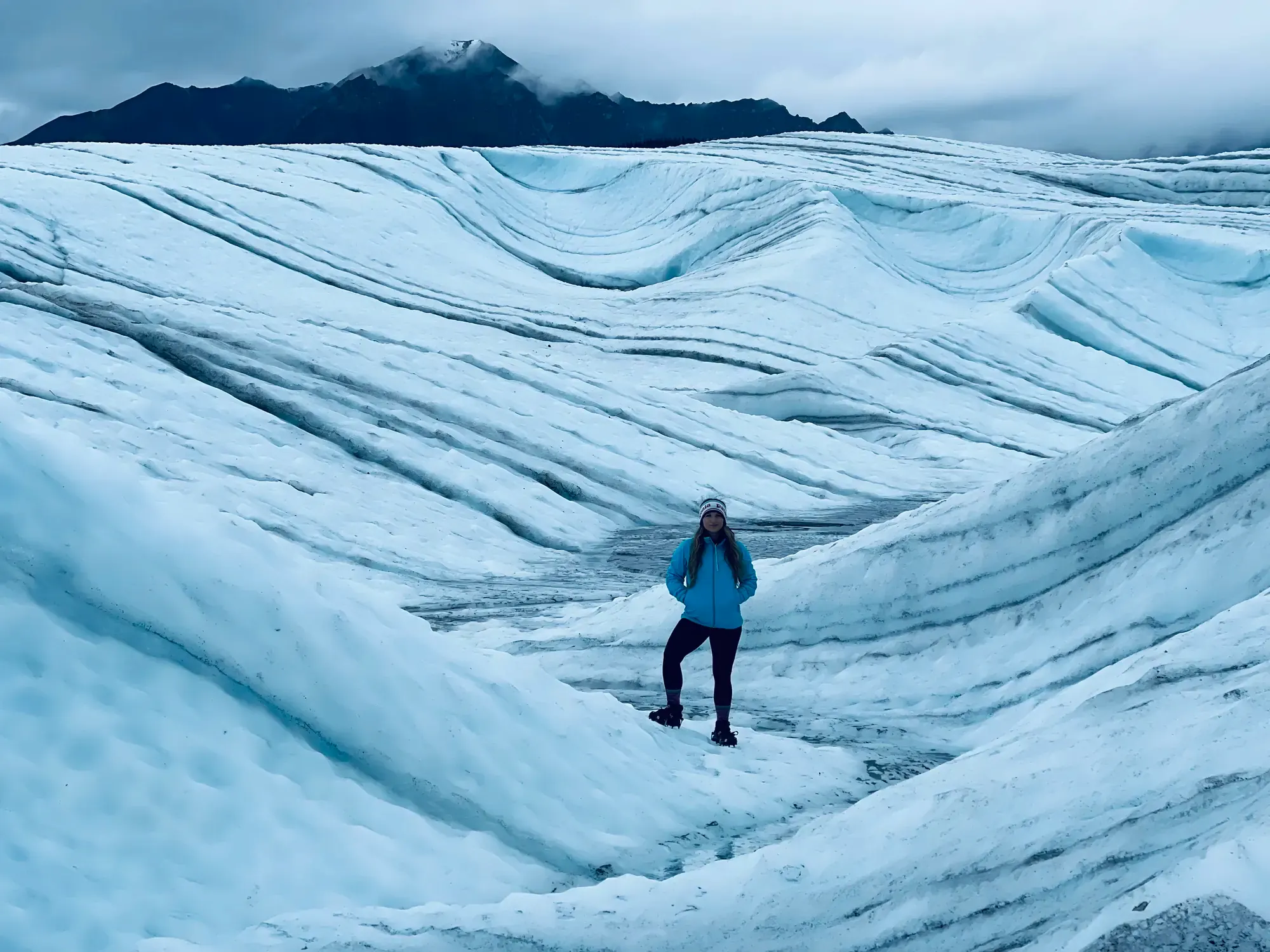
Wrangell-St. Elias is the biggest national park in the country, and almost all of it is glaciers and mountains with hardly any roads. We went out to Kennecott, walked onto the glacier in crampons and stood inside a glowing blue ice cave under gray Alaska skies.
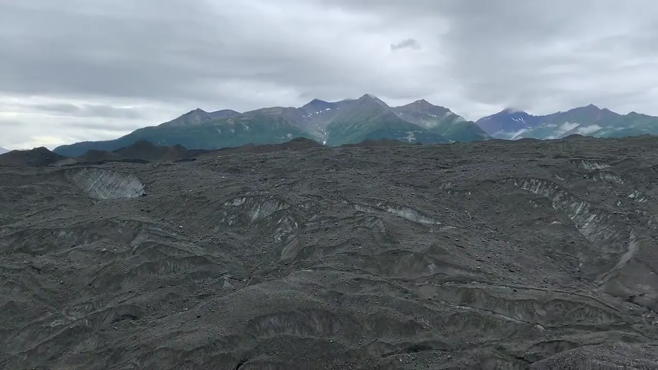
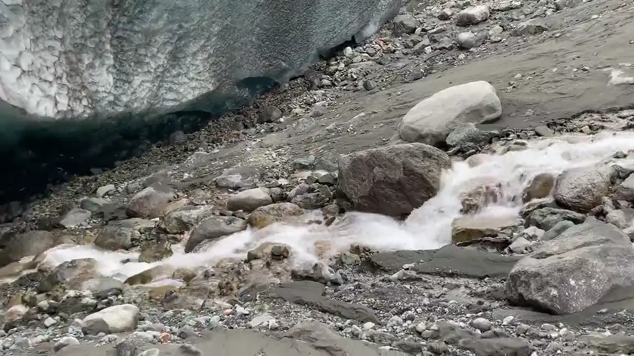
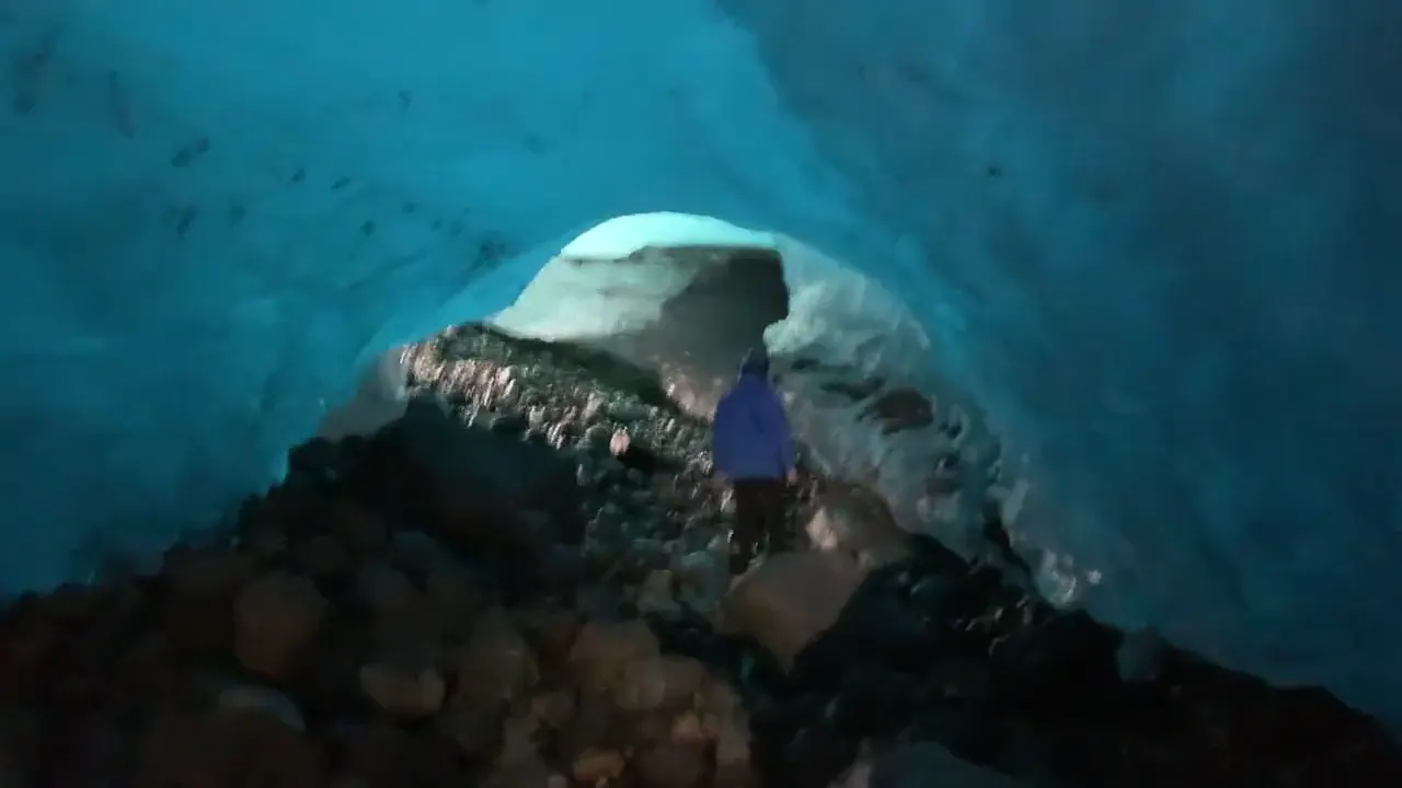
Root Glacier Trail
The trail starts right in Kennecott and takes you out onto the ice of a real glacier. Once you’re out there, it’s all blue pools, ridges and ice caves.
Book a guided glacier hike in Kennecott, so you get crampons, a helmet and a guide who knows where the ice caves are. The McCarthy Road is a long gravel drive that ends at a footbridge, so plan a full day just to get there.
One night and two full days wasn’t enough. It takes so long to get out there that one day on the ice feels too short, and we’d add a couple more nights in McCarthy or Kennecott.
The hike up to the Bonanza Mine above Kennecott.
August falls inside the short summer season, when the McCarthy Road and the Kennecott tours are running, so the timing was good. It was cool and overcast, with low clouds on the peaks. Bring warm, waterproof layers for the glacier.
McCarthy is a tiny, quirky town at the end of the road, and we’d tell anyone to walk around it. The old Kennecott mill town has guided tours of the big red copper mill buildings.
Dispersed camping by the Kennicott River (end of McCarthy Road)
David 9/10Keri 9/10
This was also one of our favorite campgrounds that we’ve ever stayed at. There were no actual spots. You just pulled up wherever you could find some land and called that your spot, so you could really go wherever you wanted. We put up our tent right beside a raging river, and how strong the current was felt borderline terrifying. It was a really cool time and one of our favorite campground experiences.
Best time
July, August
Season late May-mid September. July-August best. Kennecott VC May 23-September 13 (2026). McCarthy Rd 59 mi gravel. October-April no services.
Month by monthItineraries
3 days · Combined activity dayOur pick
4 days · Separate activity days
Wrangell-St. Elias itinerary: every day stop by stop, with sources
Compare the 3- and 4-day plans, day by day →
Map
5 visitor centers on a map you can zoom and drag. Map data loads from OpenStreetMap when you tap.
Visitor center Roads and trails are community-mapped; check closures with the park.
Locations from the NPS visitor-center listing, checked Nov 13, 2026. Hours and what each one has
Official NPS maps for Wrangell-St. Elias (opens in a new tab) ↗
Trails
1.5 mi
Short but steep to an old mine; stay out of the structures.
Out and back · About 1.5–2 hours
Start: End of maintained Nabesna Road, around mile 42; use gravel parking beyond private property, then follow the old mining road.
2.5 mi
2-3 hours; views of the Crystalline Hills.
Loop · About 2–3 hours
Start: North side of McCarthy Road at mile 34.8.
2.5 mi
Geology and views; watch for Dall sheep.
Out and back · About 2–4 hours round trip
Start: Nabesna Road; trail handout places access at mile 36.8. Return from the high pass; an optional rough loop also exists.
4–8 mi
The park’s most accessible glacier. Crampons or ice spikes and an experienced guide are recommended on the ice.
Out and back
Start: From Kennecott, follow Erie Mine Trail 1.8 miles; turn left about ten yards beyond Amazon Creek footbridge onto the 2026 reroute.
4.5 mi
Starts near McCarthy.
One way (point to point) · About 1–3 hours one way to Kennecott
Start: Near McCarthy Museum or from Kennecott Mill Town; the glacier-toe spur branches off the Wagon Road.
6 mi
Leads to the reservable Caribou Creek Cabin.
Out and back · About 3 hours round trip; allow extra time for exploring
Start: North side of Nabesna Road; handout places trailhead at mile 19.5, parking at mile 18.9.
9 mi
Steep; 6-8 hours, to mine bunkhouse ruins.
Out and back · About 6–8 hours round trip
Start: Kennecott Mill Town; follow Root Glacier Trail about half a mile, then take the signed right branch.
10 mi
6-8 hours; panoramic views.
Out and back · About 6–8 hours round trip
Start: Kennecott Mill Town; follow Root Glacier Trail about half a mile, then take the signed right branch.
10 mi
Route washed out after about 3 mi; river crossing required beyond it.
Out and back · About 4–6 hours round trip
Start: Downtown McCarthy, past the historic hardware store; cross the footbridge and follow the gravel road to the first steep switchback.
Distances, gains and difficulty as NPS publishes them; the bar shows the published distance, dashed where a longer option exists.
Camping
Fees, permits & rules
Last verified · nps.gov All Wrangell-St. Elias fees, permits and booking deadlines →
In 2026, Copper Center was open May 11-Sep 20, Kennecott May 23-Sep 13 and Slana May 23-Sep 20; Chitina hours depended on staffing. All visitor contact stations are closed October through April. 2027 dates not announced yet (NPS, checked Nov 2026).
Last verified · Operating Hours & Seasons (NPS, updated Apr 2026)A September 2024 landslide blocked the Lakina River, a popular packrafting run, just upstream of Fohlin Creek. The river has cut a new channel; in September 2025 rangers found log jams and sweepers. NPS recommends portaging about 0.4 mi on river right until the river rejoins its old channel.
Last verified · Backcountry (NPS, updated Sep 2025)NPS is investigating possible cleanup at the Kennecott Mill Town and Nabesna Mine sites. Nabesna Mine is private property.
Last verified · Nabesna Road Guide (NPS)The food box on the Erie Mine Trail was removed. A few bear-resistant food storage boxes remain north of Kennecott, but a bear-resistant food container (BRFC) is required for all backcountry camping.
Last verified · McCarthy Road & Kennecott Trails (NPS, updated Sep 2026)Email me this guide Get a link to the Wrangell-St. Elias guide in your inbox, to open again when you plan or before you go.
One email with the link. We don’t add you to any list unless you tick the box.
Historical recreation visits · 2021–2025 · as of Nov 3, 2026. Visits count entries, not unique people, parking spaces or trail crowding.
Busiest by average count: Jul. Quietest: Jan. Each bar is that month’s average visits across 5 years; unusual years and reported zeros are included. Past visits can’t tell you the best time of day to arrive.
Every month’s visits and NOAA weather, with the counts for each year →
NPS Visitor Use Statistics: monthly report · NPS monthly data · checked Nov 3, 2026; latest included year 2025.
Plan your visit
For any park: passes and free entrance days · what to pack · visiting with kids · stargazing
Getting there and park logistics →
Find a place to stay near Wrangell-St. Elias → See camping and backup options for this park.
How this page is made. The section “What we’d tell a friend” is ours. Our recorded visits to Wrangell-St. Elias include August 2021.Planning information, including any fees, permits, closures, weather and crowd figures shown here, is compiled from the National Park Service, Recreation.gov and other public sources, and each fact shows the date we last checked it. If something is wrong, tell us and we’ll log the fix on our corrections page.