Our favorite hike
Ram Head
It had a 10/10 viewpoint at the end.
Also: Reef Bay Trail. We also hiked the Reef Bay Trail, but Ram Head was the best.

U.S. Virgin Islands
About 60% of St. John, from the ridge tops to the reefs: white-sand bays, sea turtles grazing in seagrass, Taino petroglyphs and Danish sugar-plantation ruins. Get there by ferry, and drive on the left.
By David & Keri New, who have visited 63 of the 64 U.S. national parksUpdated
16Park 16 of our 63Visited Jan 2021
Saves this park and its trail guides on this device. Alerts and conditions are as of when you save; live maps and bookings need a connection.
2 days is our starting point.
Allow two full St. John days after your arrival: a land trip from Cruz Bay and a beach day. Add Reef Bay only if the route and return fit your group.
With a few hours, walk from the Cruz Bay ferry terminal to the visitor center, then take the 1-mile Lind Point Trail to Salomon or Honeymoon Beach. The visitor center is open Monday to Friday. Rain can leave trails slick and overgrown.
NPS directionsNPS operating dates and hoursCurrent park conditions
Add the Annaberg Sugar Plantation ruins, at the end of a spur road off North Shore Road. NPS allows 1 to 2 hours for the self-guided interpretive trail. Check its NPS page for reservation details before going.
If water conditions rule out swimming or snorkeling, choose the Cruz Bay land trip when trails are open. Confirm a taxi or other ride back before being dropped at a remote beach.
National Park Service guidancePark itinerariesCurrent park conditions
Cruz Bay, St. John
Stay near Cruz Bay if you want to start with the land route and use it as a base for beach trips. If staying on St. Thomas instead, match the ferry and the return ride from the beach before making a day trip.
NPS directionsNational Park Service guidanceLodging and gateway towns
Check the ferry or car barge for both legs. If Reef Bay is part of the plan, confirm whether your specific trip includes a return ride or requires hiking back uphill.
There is no airport on St. John. Fly to St. Thomas, get to Red Hook, then take the passenger ferry or car barge to Cruz Bay. North Shore beach lots can fill by 10 a.m., so consider a safari taxi and schedule your pickup.
Our visit
January 2021
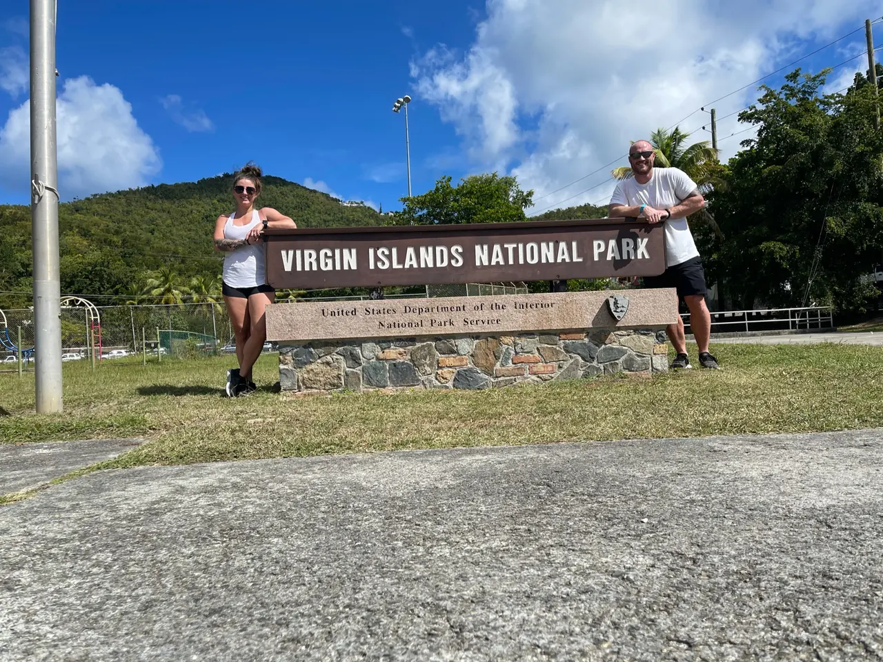
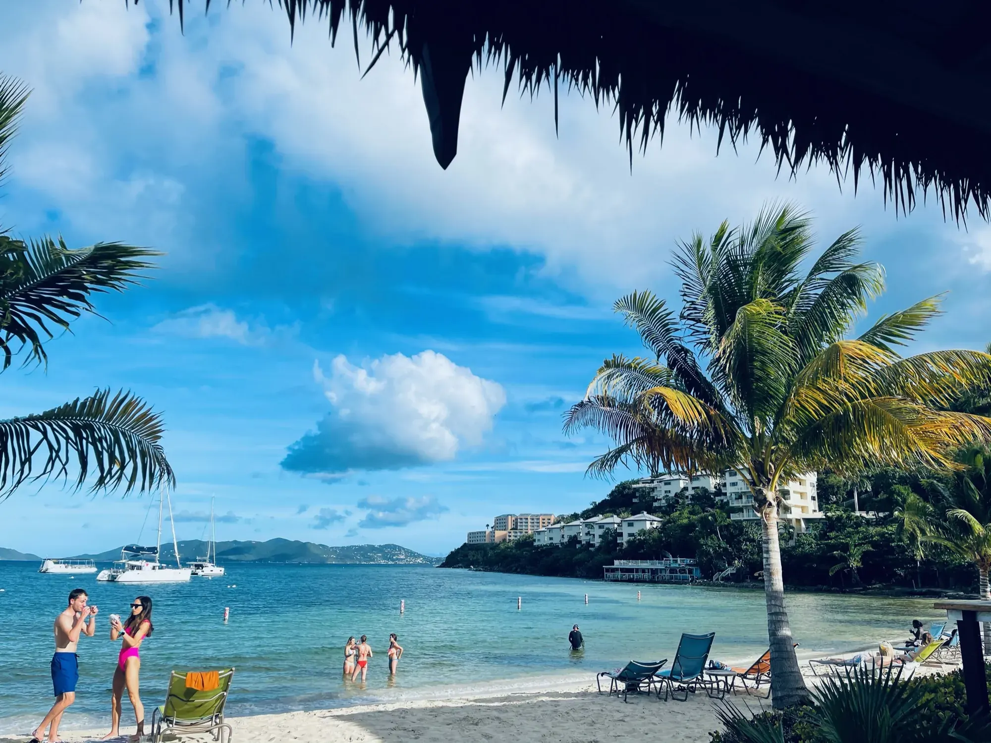
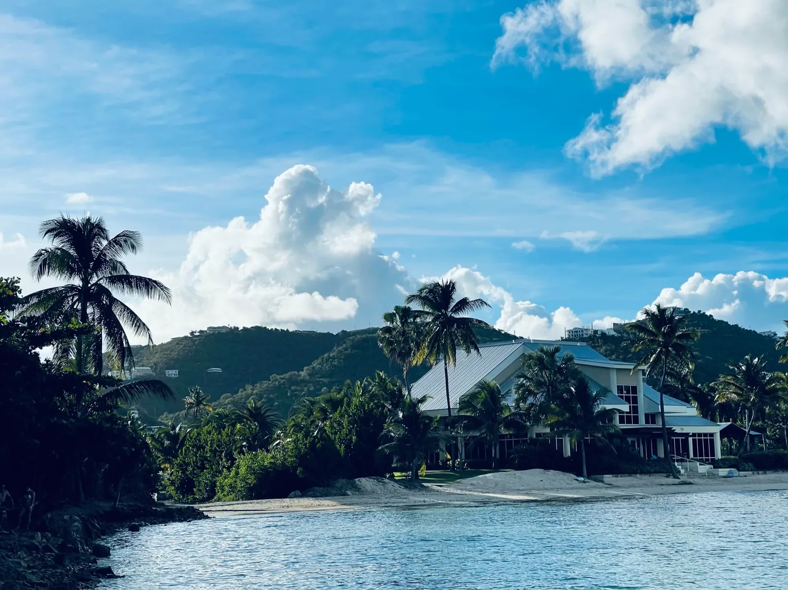
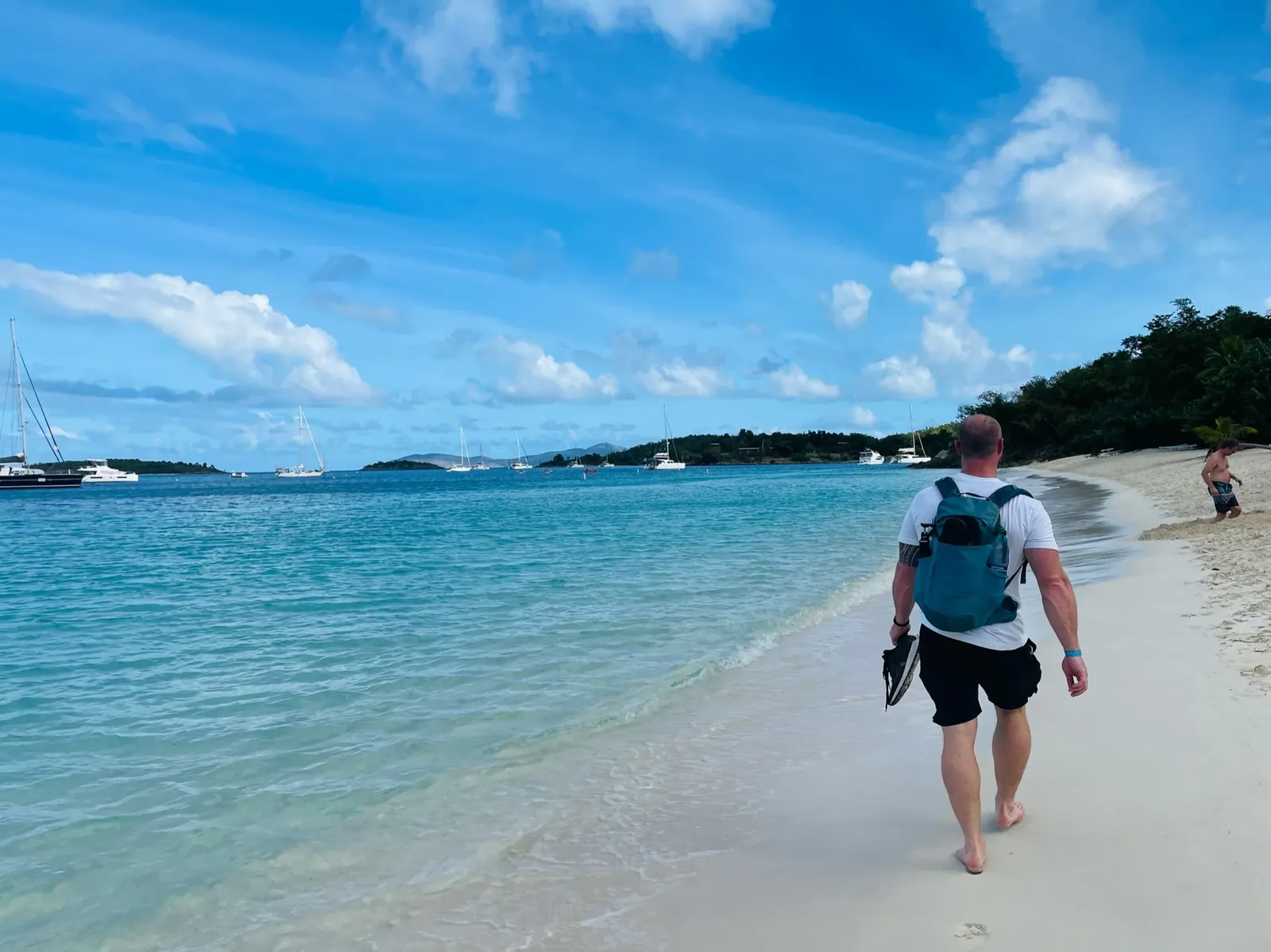
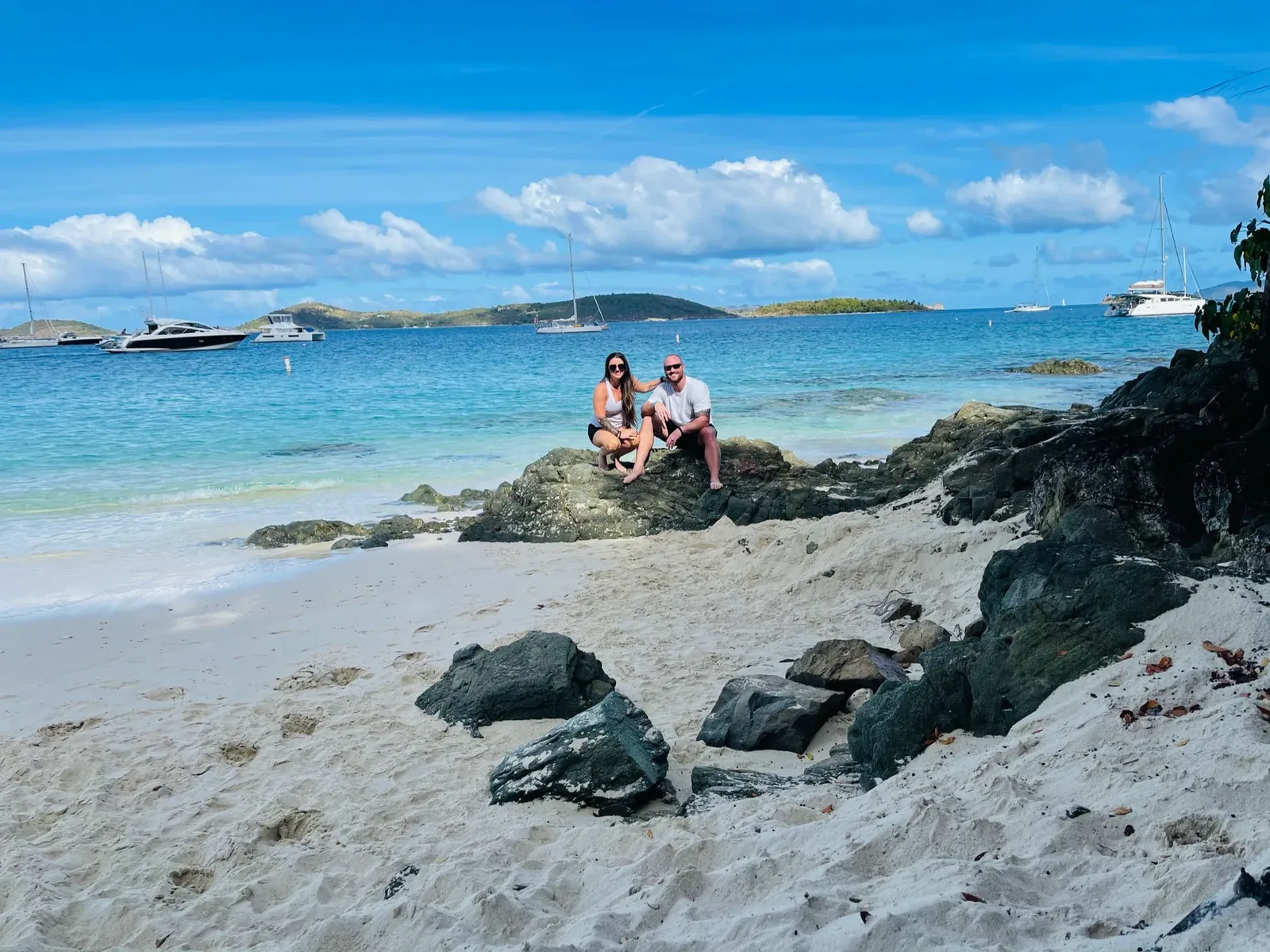
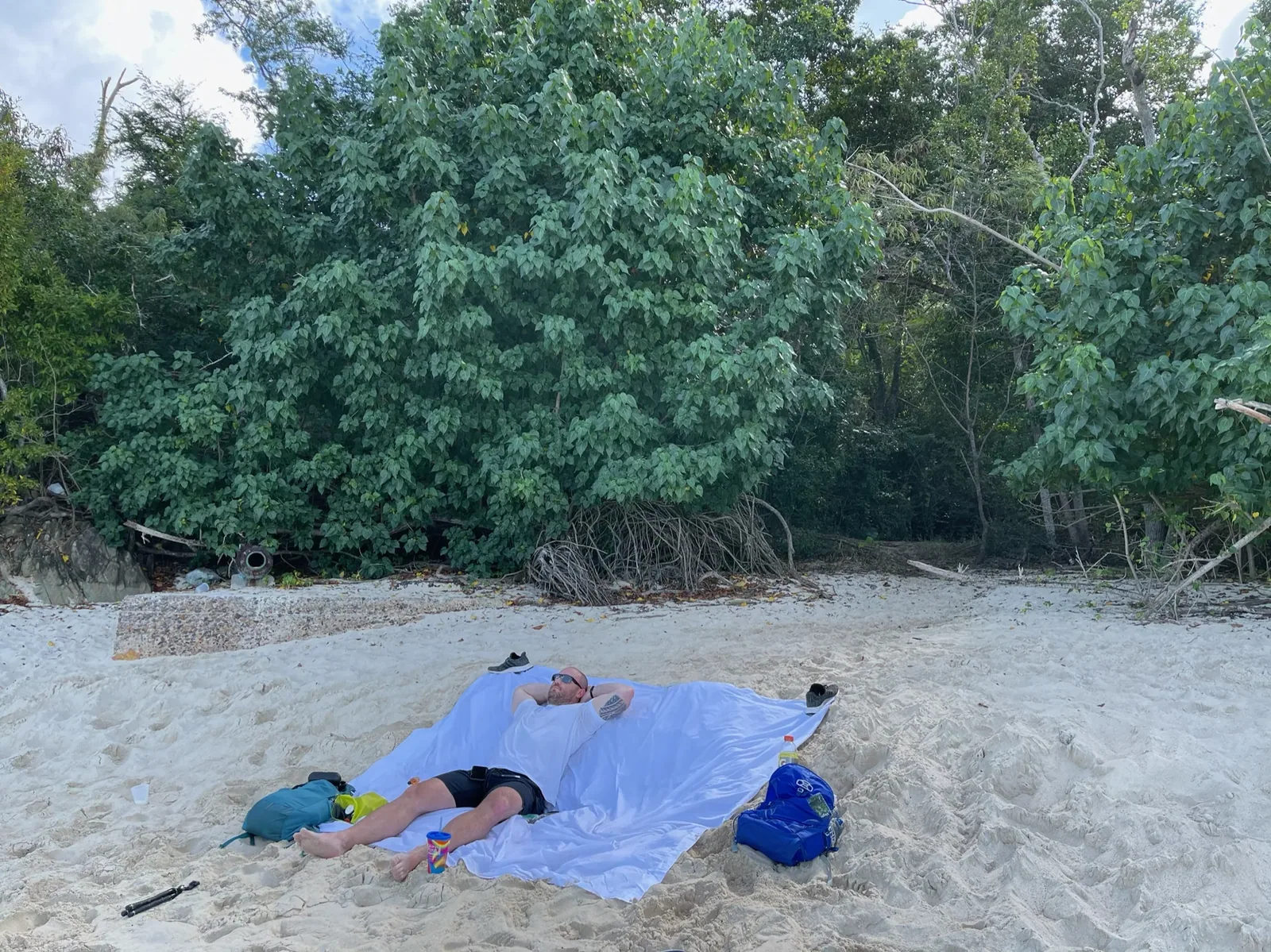
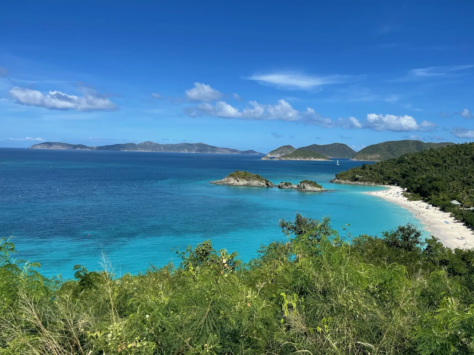
Why it’s on our list
Virgin Islands National Park is home to some of the most beautiful tropical beaches in the United States. The crystal-clear turquoise water, white-sand beaches, colorful marine life, and lush green hills make it feel like a Caribbean paradise. Although the park offers wonderful scenery and snorkeling, the experience is quite different from the hiking and wilderness adventures we tend to enjoy most.
Our favorite moment
Snorkeling at Trunk Bay and swimming with sea turtles at Maho Bay. Our favorite hike was by far Ram Head. It had a 10/10 viewpoint at the end.
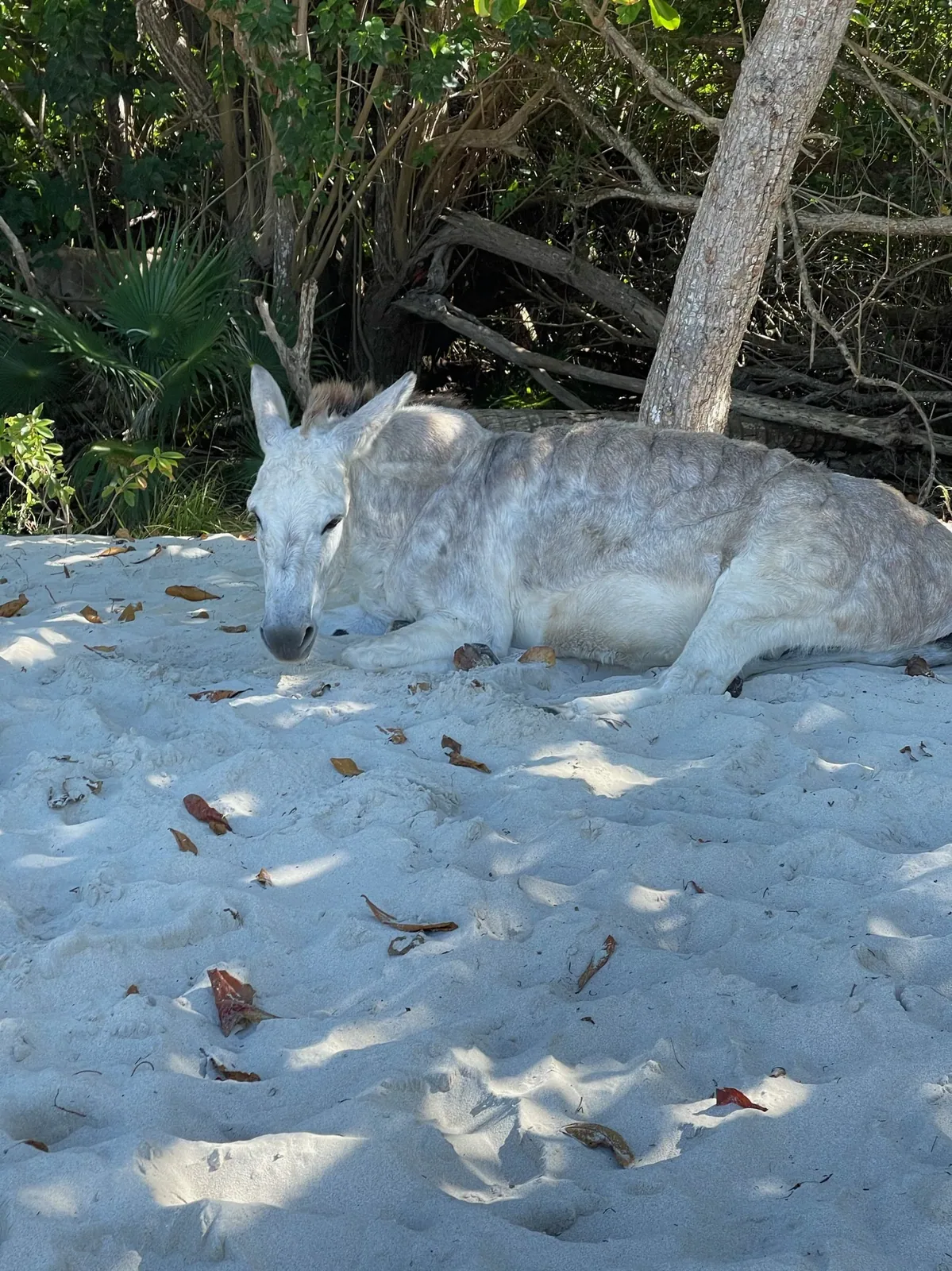
Photos by David & Keri New.
Firsthand · David & Keri New
Virgin Islands National Park covers most of St. John, so the island is mostly green hills, empty coves and clear turquoise water. It’s the beach park, but there’s good hiking and history here too.
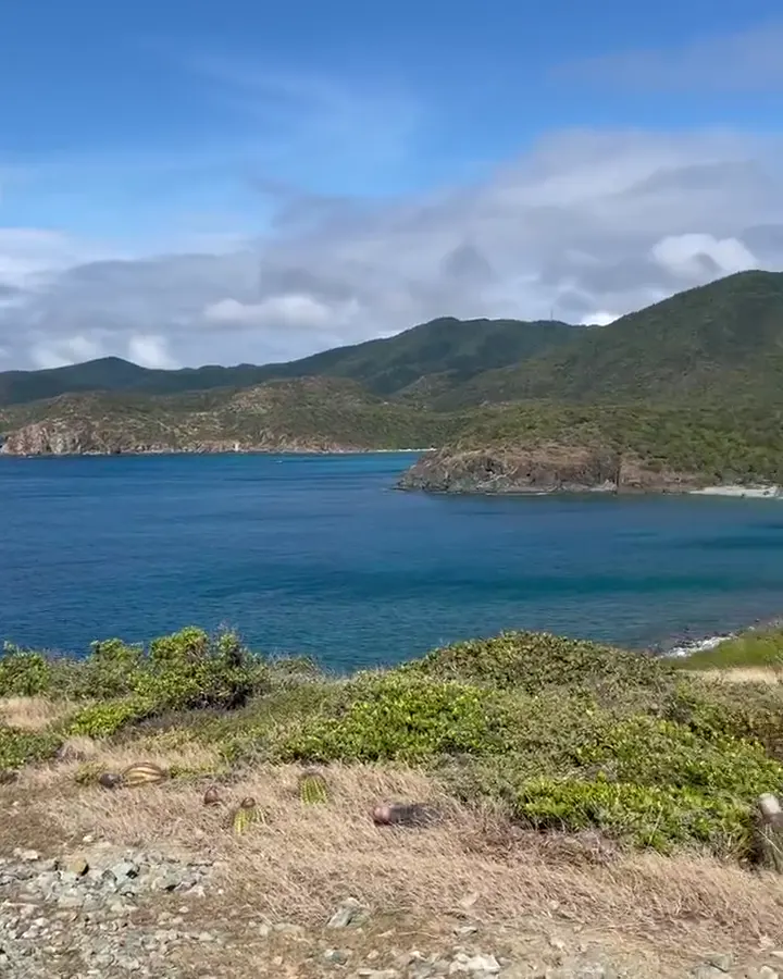
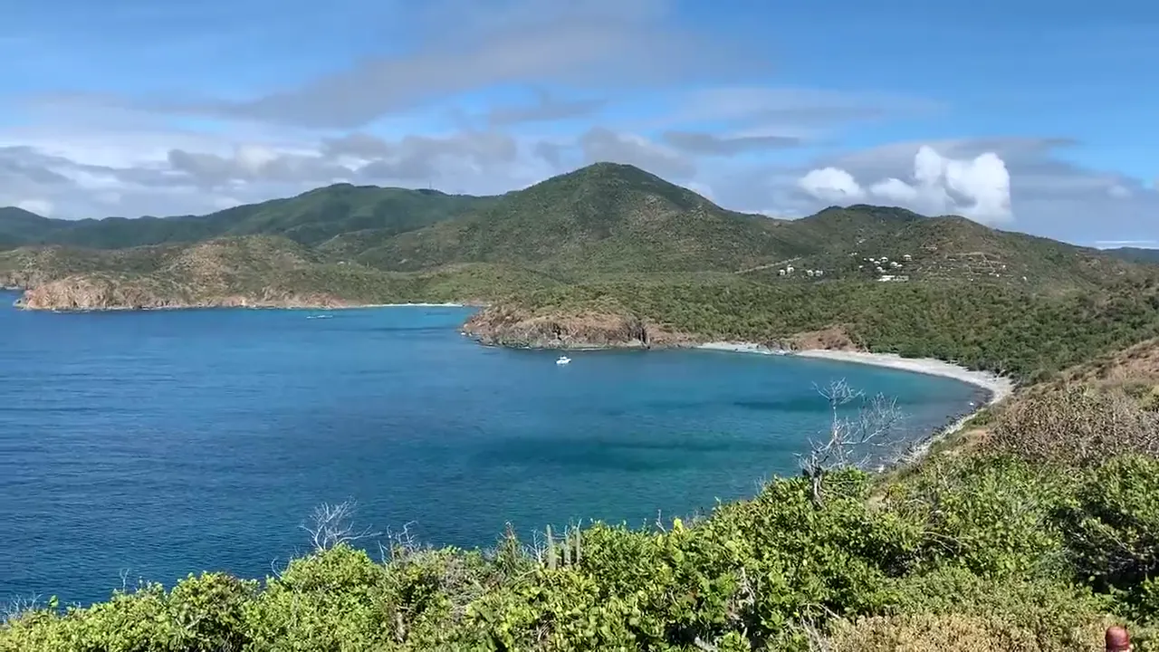
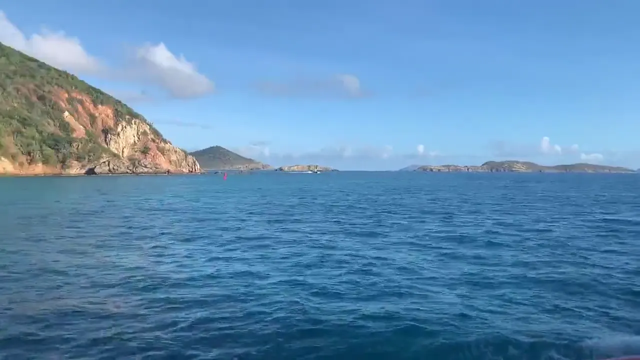
Ram Head
It had a 10/10 viewpoint at the end.
Also: Reef Bay Trail. We also hiked the Reef Bay Trail, but Ram Head was the best.
Rent a Jeep on St. John and get to popular beaches like Trunk Bay and Maho early, because parking is tight. And remember, they drive on the left.
The ferry back and forth from St. Thomas ate up part of every day. We’d stay on St. John itself.
Snorkeling. We’d go to Waterlemon Cay off Leinster Bay.
Mid-January is high season on St. John, and the weather was dry, breezy and comfortable. We had blue skies with some puffy trade-wind clouds. Cruise ships were still paused in early 2021, so things felt calmer around the islands.
Cruz Bay is the little ferry town, and it’s fun to walk around. Woody’s Seafood Saloon is the classic happy hour spot there, and Skinny Legs over in Coral Bay is a laid-back bar known for its burgers.
Best time
January, February, March, April
January-April best (dry, whales). August-October hurricane peak. Sargassum varies by year (heavy on south/east bays in 2026). No entry fee, Trunk Bay $5.
Month by monthItineraries
2 daysOur pick
3 days · Add guided Reef Bay
Virgin Islands itinerary: every day stop by stop, with sources
Compare the 2-day plans, day by day →
Map
1 visitor center and 1 of the 2 campgrounds on a map you can zoom and drag. Map data loads from OpenStreetMap when you tap.
Visitor centerCampground Roads and trails are community-mapped; check closures with the park.
Locations from the NPS visitor-center listing, checked Nov 13, 2026. Hours and what each one has
Locations from Recreation.gov, checked Nov 7, 2026. Not on this map: Cinnamon Bay Beach (no Recreation.gov location in our data). Compare all 2 campgrounds
Trails
0.5 mi
Sugar-plantation ruins and bay rum trees, with signs along the way. The first 0.09 mi is a wheelchair-accessible boardwalk. Across the road from the campground entrance.
Loop · About 15–30 minutes
Start: Across North Shore Road from Cinnamon Bay Campground; park in the beach lot.
1 mi
Steep and very rocky to an observation deck with north-shore views; can continue to Margaret Hill. Trailhead at the top of the hill above Cruz Bay.
About 30–60 minutes
Start: Caneel Hill trailhead at the top of the hill above Cruz Bay; parking available.
1 mi
Climbs from east of the ruins through shaded forest to Centerline Road, with a 0.38-mi spur to the America Hill great house ruins.
One way (point to point)
Start: Begins east of Cinnamon Bay ruins; park in the beach lot on North Shore Road.
1.5 mi
Trails lead from Cruz Bay to Salomon and Honeymoon beaches. The destination-specific NPS FAQ distance is used here rather than the general 1-mile trail description on the directions page.
Trail network · About 20–40 minutes
Start: Lind Point Trailhead behind Cruz Bay Visitor Center; follow signs from the parking area.
1.8 mi
Starts at the east end of Waterlemon Bay beach and climbs past historic sites toward Base Hill, with views of Coral Bay. Hike early or late to avoid the heat.
One way (point to point) · About 2–4 hours
Start: East end of Waterlemon Bay beach, at the end of Leinster Bay.
2 mi
Past the Mary’s Point estate house to a salt pond, good for birding. The boardwalk to the viewing platforms is accessible, but there’s a steep climb from the sugar-factory parking lot.
About 30–90 minutes
Start: Francis Bay Sugar Factory, reached from North Shore Road.
2 mi
Ruins on the north shore; allow about an hour. The path from the lot exceeds wheelchair grade standards, but it’s fairly flat among the buildings.
About 1–2 hours
Start: End of the signed spur road off North Shore Road.
2.6 mi
Follows a historic Danish road past early plantation ruins and the island’s only baobab. Mostly west-facing with little shade.
One way (point to point) · About 2–4 hours
Last verified · nps.gov3 mi
Past old trees, plantation ruins and a spur to Taino petroglyphs. About 3.5 hours down to the valley floor, longer coming back up. Steep, rocky and slippery even when dry.
About 2–4 hours
Start: Reef Bay Trailhead near mile marker 5 on Centerline Road.
4 mi
Old dirt road from the parking area to a gently sloping beach. A great trail for full-moon hikes.
About 5–20 minutes to beach
Start: Salt Pond Bay parking area; follow the old dirt road to the beach.
Distances, gains and difficulty as NPS publishes them; the bar shows the published distance, dashed where a longer option exists.
Camping
Fees, permits & rules
Last verified · nps.gov All Virgin Islands fees, permits and booking deadlines →
Trunk Bay accepts credit cards, debit cards, and contactless or mobile payments only; cash has not been accepted since October 1, 2026.
Last verified · Fees & Passes (NPS, updated Sep 29, 2026)Rain can leave trails slick and overgrown. Crews clear them regularly; report problems to viis_interpretation@nps.gov.
Last verified · NPS alert (park home page)Pay overnight mooring fees before spending the night, one night at a time (Recreation.gov app or pay stations). Limit 7 nights per bay and 30 nights per year.
Last verified · Fees & Passes (NPS)The Virgin Islands drive on the left. Take extra care turning and pulling out, and walk facing traffic.
Last verified · Basic Information (NPS)Email me this guide Get a link to the Virgin Islands guide in your inbox, to open again when you plan or before you go.
One email with the link. We don’t add you to any list unless you tick the box.
Historical recreation visits · 2021–2025 · as of Nov 3, 2026. Visits count entries, not unique people, parking spaces or trail crowding.
Busiest by average count: Mar. Quietest: Sep. Each bar is that month’s average visits across 5 years; unusual years and reported zeros are included. Past visits can’t tell you the best time of day to arrive.
Every month’s visits and NOAA weather, with the counts for each year →
NPS Visitor Use Statistics: monthly report · NPS monthly data · checked Nov 3, 2026; latest included year 2025.
Plan your visit
For any park: passes and free entrance days · what to pack · visiting with kids · stargazing
Getting there and park logistics →
Find a place to stay near Virgin Islands → See camping and backup options for this park.
How this page is made. The section “What we’d tell a friend” is ours. Our recorded visits to Virgin Islands include January 2021.Planning information, including any fees, permits, closures, weather and crowd figures shown here, is compiled from the National Park Service, Recreation.gov and other public sources, and each fact shows the date we last checked it. If something is wrong, tell us and we’ll log the fix on our corrections page.