Our favorite hike
Maple Pass
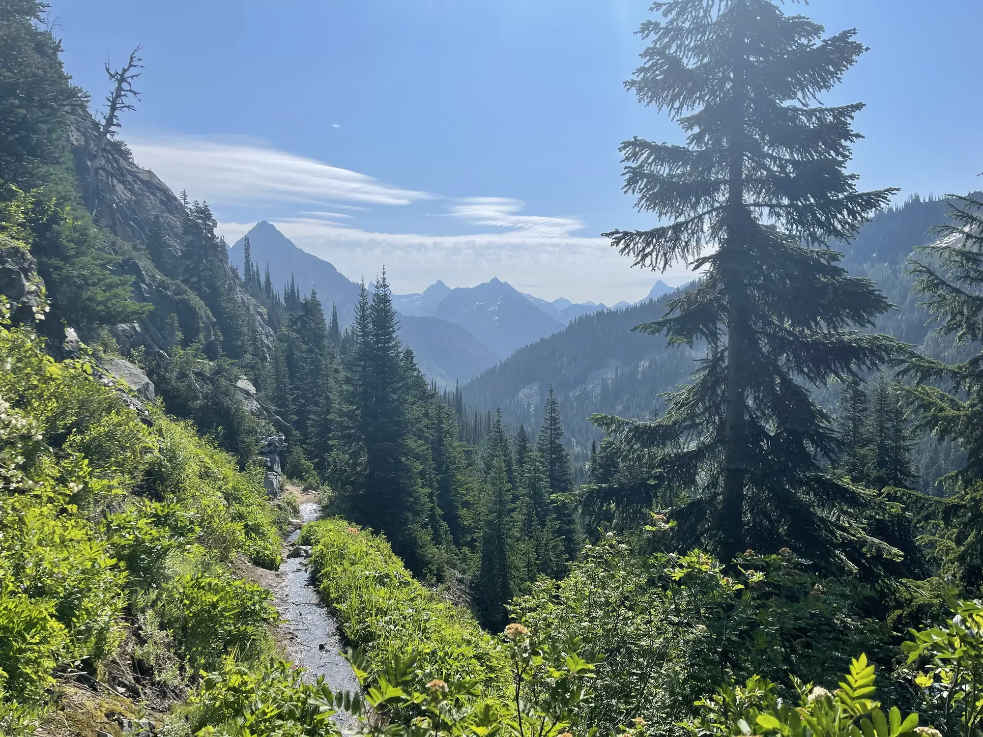
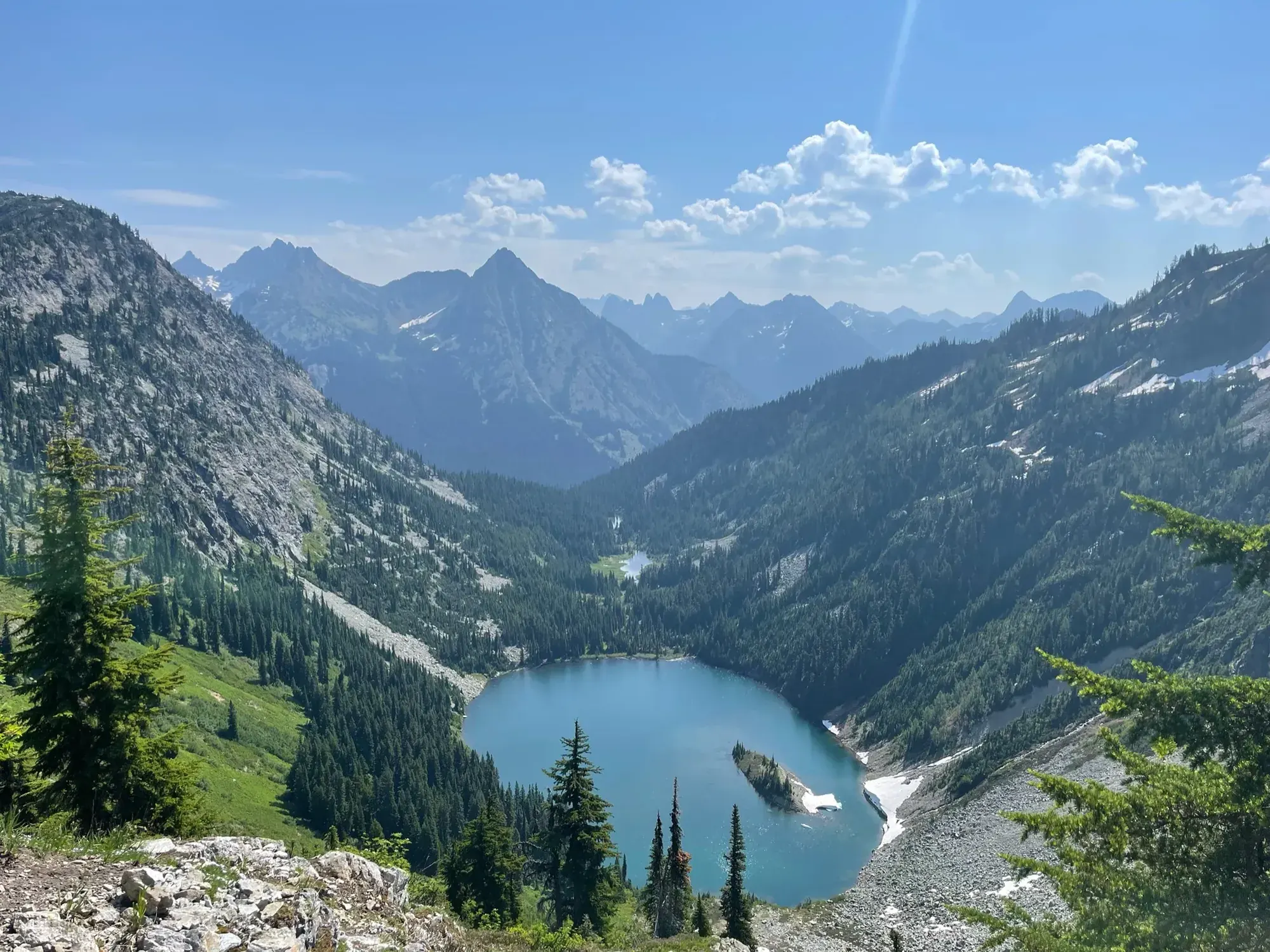
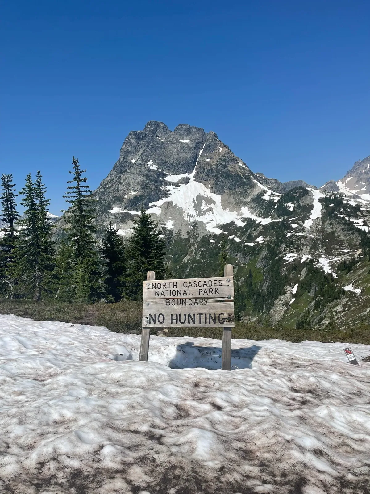
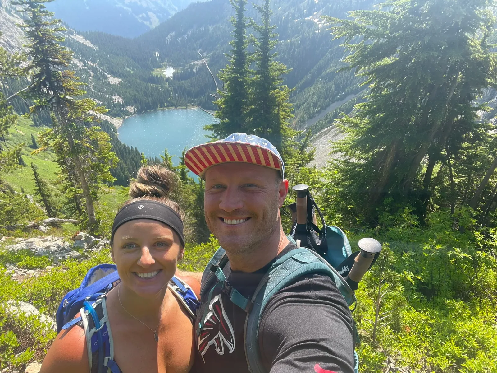
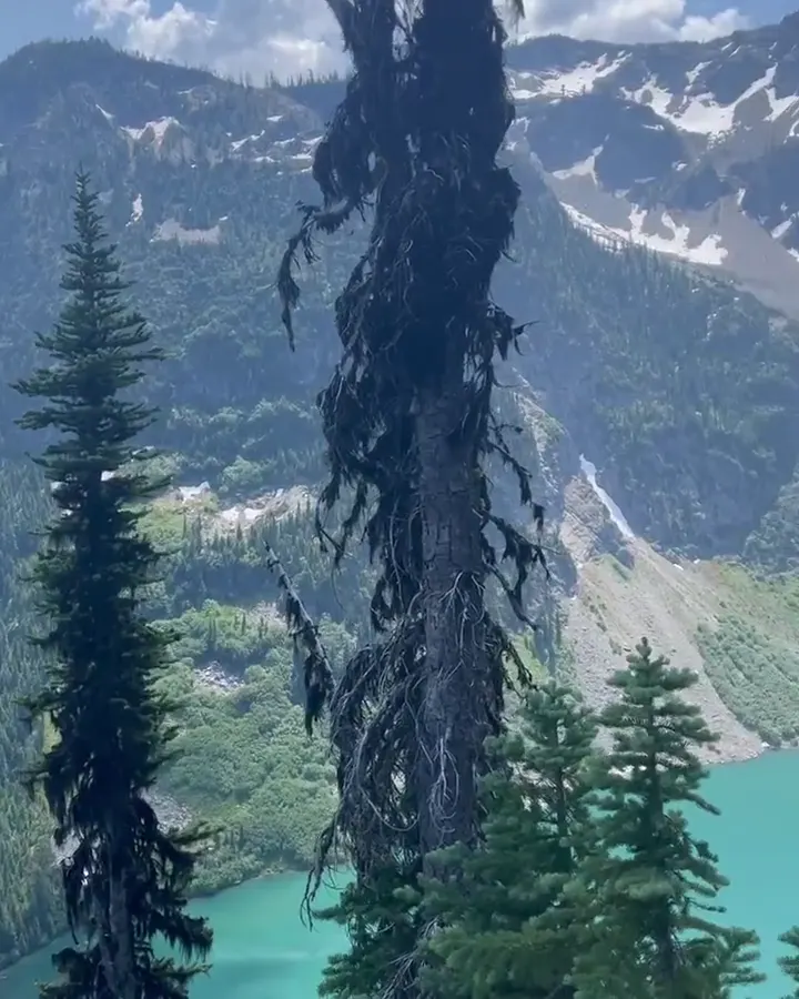
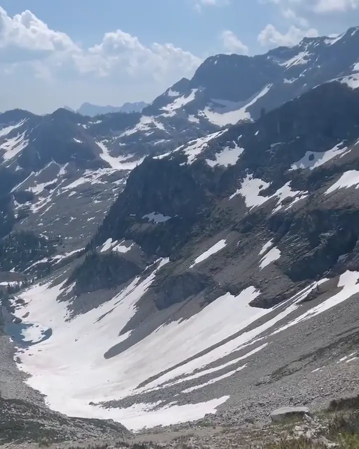
We loved seeing the alpine lakes along Maple Pass, just outside the park off Highway 20. It’s one of our top ten hikes of all time.

Washington
Glacier-carved peaks, turquoise reservoirs and old-growth forest along the North Cascades Highway, plus roadless Stehekin at the head of Lake Chelan.
By David & Keri New, who have visited 63 of the 64 U.S. national parksUpdated
25Park 25 of our 63Visited Jul 2021
Saves this park and its trail guides on this device. Alerts and conditions are as of when you save; live maps and bookings need a connection.
NPS alertsAs of 6:03 AM ET, Nov 20
2 days is our starting point.
Use the first day for the Highway 20 corridor around Newhalem and Diablo Lake. Add Cascade Pass and Easy Pass as separate hiking days only when their approaches and trails are suitable.
Open the 3-day itineraryNPS road conditionsNPS trail conditions
With a few hours, stay on SR 20 near Newhalem and walk one of its short forest trails. Then stop at Gorge Creek Falls at mile 123.4 or Diablo Lake Overlook at mile 131.7 if the highway is open.
National Park Service guidanceNational Park Service guidanceNPS road conditions
Add the Ross Dam Trail at mile 134: 2.5 miles round trip with 532 feet of gain, crossing the historic Ross Dam. The winter highway closure usually starts at the Ross Dam Trailhead, so check SR 20 first.
National Park Service guidanceNPS directionsNPS road conditions
If the Cascade Pass approach is closed, use the shorter Newhalem route if the corridor is open. A Highway 20 closure can also affect the drive back, so confirm your return route before leaving the base.
Marblemount or Concrete for a west-side approach
Use a west-side base for Newhalem and Cascade Pass if access allows. Treat Stehekin as a separate visit staged from Chelan, with a confirmed outbound and return crossing.
Lodging and gateway townsGetting to the parkNPS road conditions
For a road trip, check Highway 20 and the trailhead roads separately. If visiting Stehekin, match both crossings to your overnight stay before paying for either.
Most visitors drive SR 20, which meets I-5 at Burlington. Public transportation is extremely limited. WSDOT typically closes the highway between Ross Dam Trailhead and Lone Fir Campground from November to April. Stehekin has no car access; a passenger ferry runs from Chelan.
Our visit
July 2021
Why it’s on our list
Some of the most dramatic mountain scenery in the country can be found here. With its jagged snow-covered peaks, turquoise alpine lakes, and incredible hiking opportunities, North Cascades feels like a hidden gem compared with many of the more famous parks.
Our favorite moment
Hiking Maple Pass, just outside the park off Highway 20, and seeing the alpine lakes everywhere. It’s one of our top ten hikes of all time.
Photos by David & Keri New.
Firsthand · David & Keri New
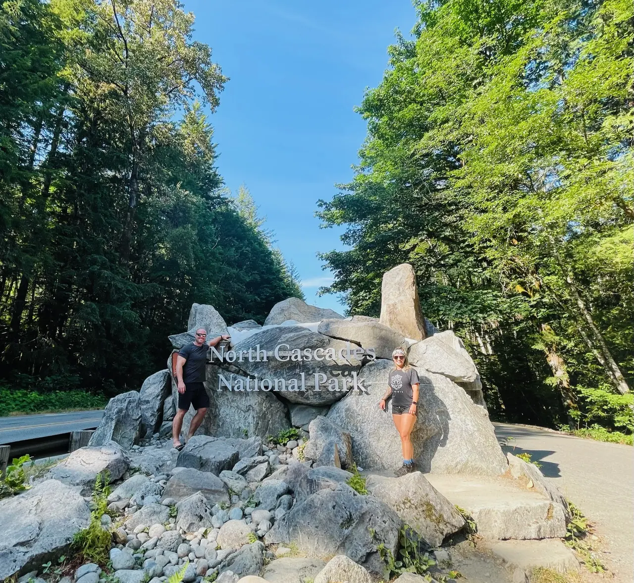
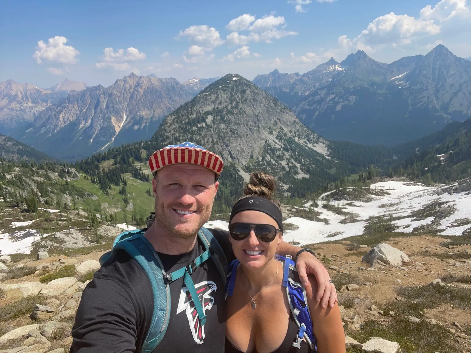
North Cascades is jagged, glacier-covered mountains and turquoise lakes, and it’s one of the least visited parks in the lower 48. We had clear skies in early July, with Diablo Lake glowing below the snowy peaks and cold alpine lakes to wade into.

Maple Pass
We loved seeing the alpine lakes along Maple Pass, just outside the park off Highway 20. It’s one of our top ten hikes of all time.
Fill up on gas and food before you head over Highway 20, because there are almost no services between Marblemount and Mazama. Stop at the Diablo Lake Overlook for the turquoise water.
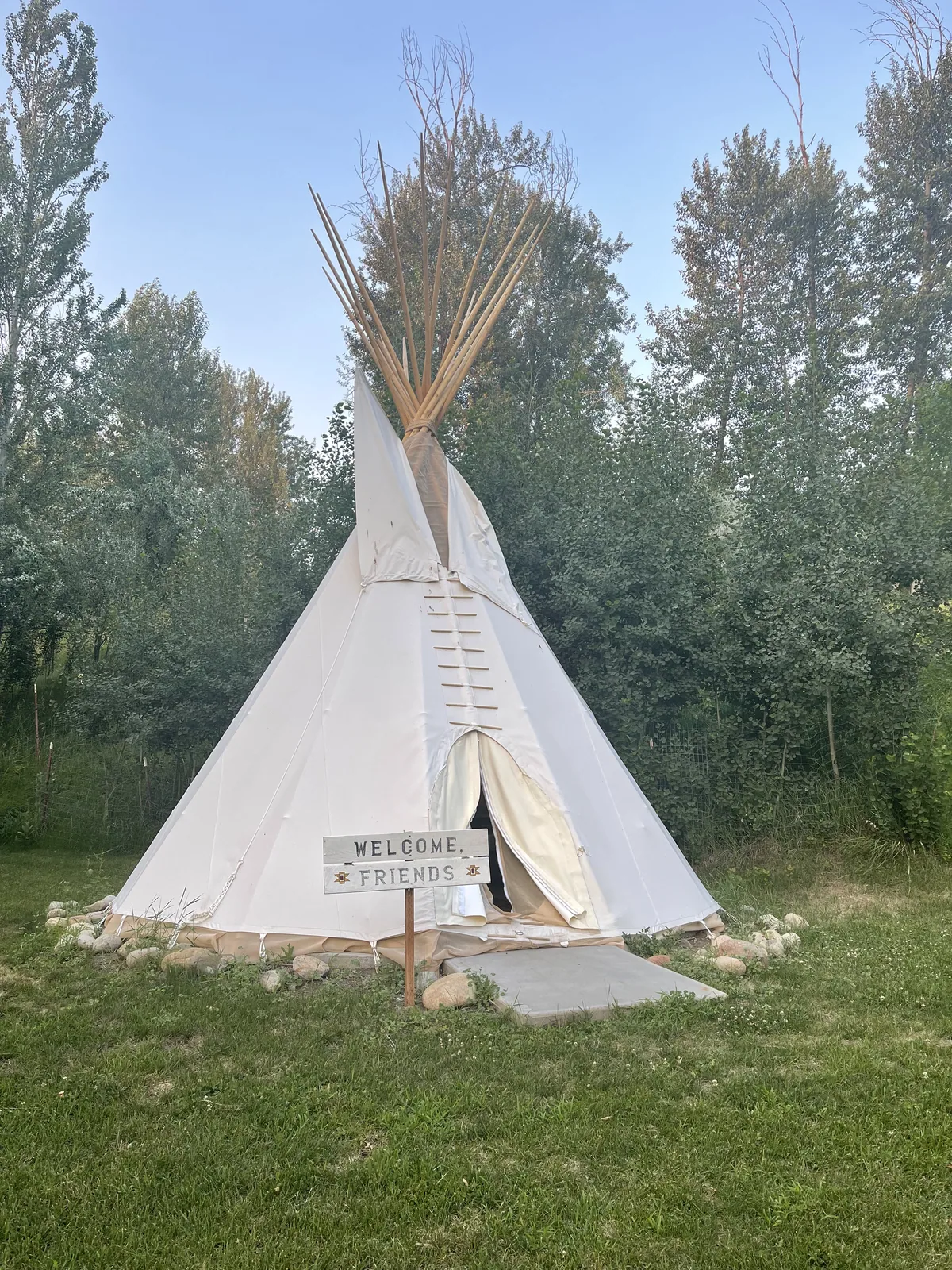
On the east side, we stayed in a tipi in Winthrop — such a cool experience.
If we went back, we’d take the boat up Lake Chelan to Stehekin, the part of the park most people never see.
A day in Stehekin would mean a stop at the Stehekin Pastry Company and the walk to Rainbow Falls.
Even on the Fourth of July, this park stays far less crowded than most, though the overlooks along Highway 20 get busy. It was sunny the whole time, and snow was still hanging on in the high country.
Winthrop, on the east side, is a fun Old West-style town to walk around. We stayed in a tipi there, and it was such a cool experience. On the west side, the Cascadian Farm roadside stand near Rockport is known for its berry shakes in summer.
Goodell Creek Campground
David 9/10Keri 10/10
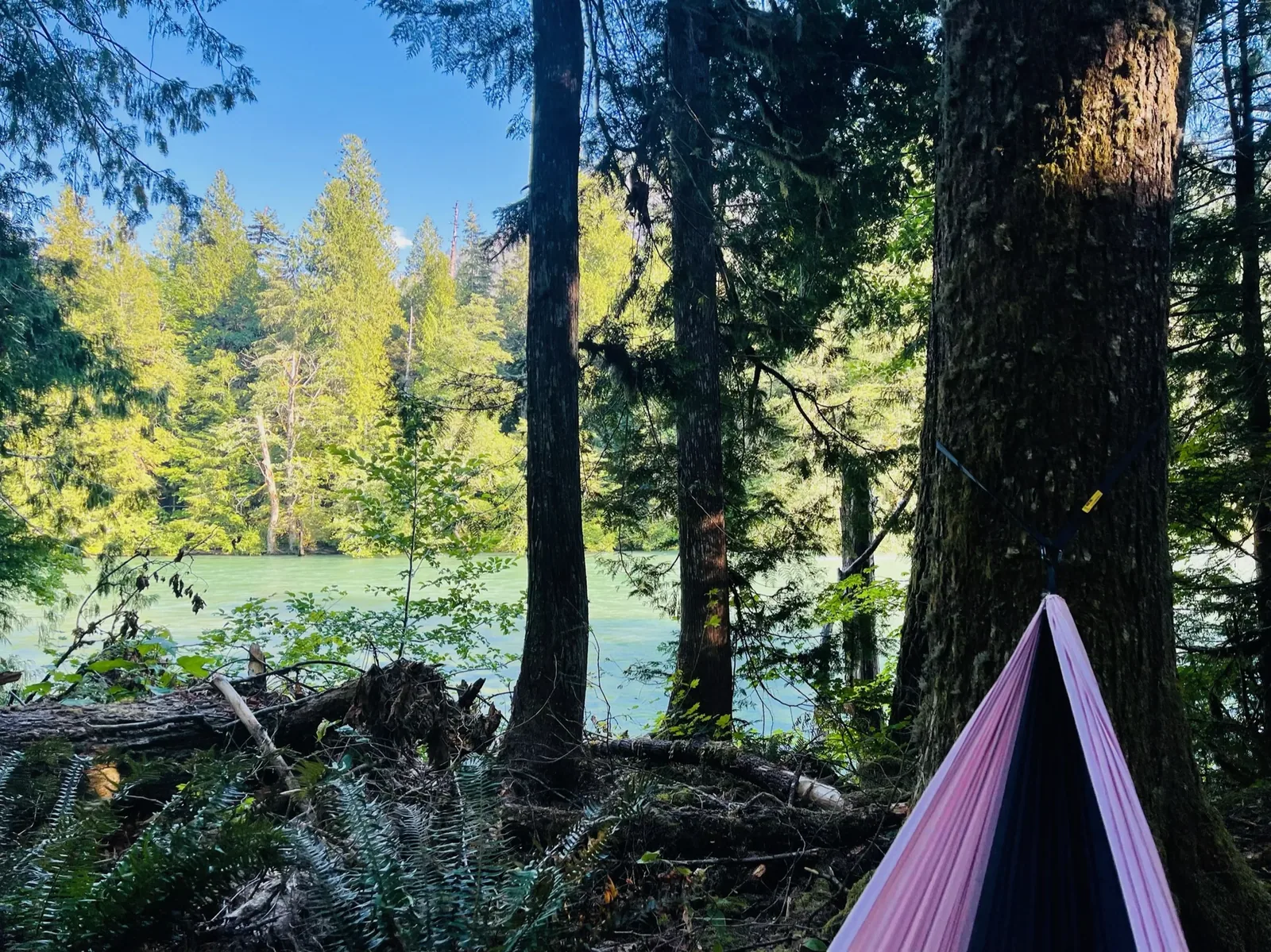
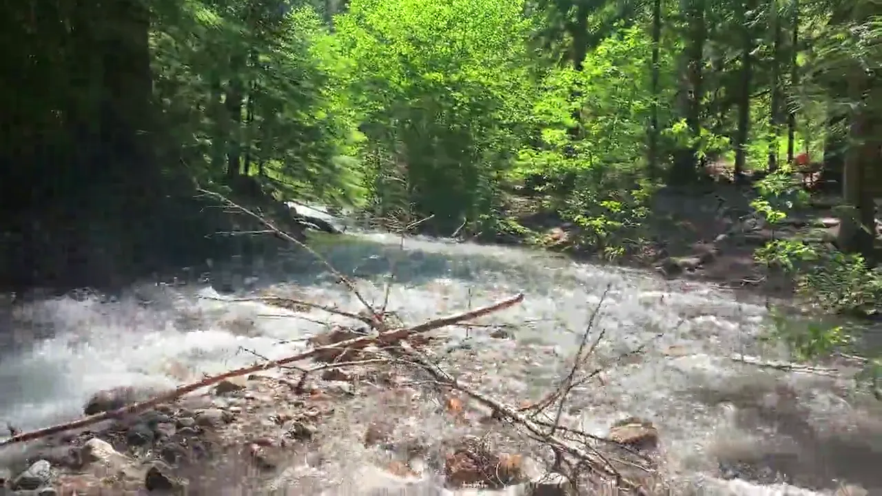
We were right beside a cloudy, turquoise blue river that was just 10 feet from our tent. We sat there in our hammocks and just watched it all day. It was really cool.
Best time
July, August, September
Best mid-July to September. May-June favor valley visits, October brings color and storms, and winter closes the SR 20 mountain crossing.
Month by monthHighway 20 usually closes for winter in late November or early December and reopens in April or early May. Last verified · nps.gov
Itineraries
1 day
2 daysOur pick
3 days · Add a second mountain hike
North Cascades itinerary: every day stop by stop, with sources
Compare the 1- and 2-day plans, day by day →
Map
4 visitor centers and 8 of the 9 campgrounds on a map you can zoom and drag. Map data loads from OpenStreetMap when you tap.
Visitor centerCampground Roads and trails are community-mapped; check closures with the park.
Locations from the NPS visitor-center listing, checked Nov 13, 2026. Hours and what each one has
Locations from Recreation.gov, checked Nov 7, 2026. Not on this map: Hozomeen (no Recreation.gov location in our data). Compare all 9 campgrounds
Trails
0.3 mi
Fully accessible boardwalk at SR 20 mile 134.3. Optional 2.6 mi round trip (712 ft) spur to a waterfall.
Loop · About Under an hour
Start: Happy Creek Forest Walk, SR 20 near milepost 134
2.5 mi
Walk across historic Ross Dam, mile 134.
Out and back · About 1-2 hours
Start: Ross Dam Trail, SR 20 milepost 134
2.5 mi
Ends where Agnes Creek cascades through a narrow gorge.
Out and back · About 2 hours (estimated)
Start: Agnes Gorge Trailhead: cross High Bridge and continue about 0.25 mile up Stehekin Valley Road; trailhead is on the left.
3.7 mi
Popular view of Diablo Lake, mile 130.
Out and back · About 1-2 hours
Start: Thunder Knob Trail, SR 20 milepost 130
4 mi
Old-growth forest to a wooden bridge, mile 130.
Out and back · About 1-2 hours
Start: Thunder Creek Trail, SR 20 milepost 130
4.2 mi
Forest climb to a small mountain lake, mile 127.
Out and back · About Half day
Start: Pyramid Lake Trail, SR 20 milepost 127
4.4 mi
Bluffs over the Stehekin Valley and Buckner Orchard.
One way (point to point) · About 2 hours (estimated)
Start: South trailhead: Stehekin Valley Road, 2.6 miles from Stehekin Landing; north trailhead at mile 5.
7.4 mi
Steep climb to a pass, mile 151.
Out and back · About Full day
Start: Easy Pass Trail, SR 20 milepost 151
7.4 mi
Peaks and glaciers at the end of Cascade River Road. The road is gated 2 mi short as of Oct 2026.
Out and back · About Full day
Start: Cascade Pass Trailhead at the end of Cascade River Road
7.6 mi
Peek-a-boo lake views, mile 128.
Out and back · About Half day
Start: Diablo Lake Trail, SR 20 milepost 128
9 mi
Steep hike to a lake and historic fire lookout off Cascade River Road.
Out and back · About Full day
Start: Hidden Lake Trail, off Cascade River Road
10.4 mi
High lakes and peaks, mile 117. Camping requires a food canister.
Out and back · About Full day
Start: Thornton Lakes Trailhead, at the end of Thornton Lakes Road.
10.4 mi
Difficult trail with sweeping views, mile 126.
Out and back · About Full day
Start: Sourdough Mountain Trail, SR 20 milepost 126
10.4 mi
Old growth to mountain and glacier views, mile 130.
Out and back · About Full day
Start: Fourth of July Pass via Thunder Creek, SR 20 milepost 130
17.2 mi
Shorter goals: Hazard Creek (1 mi), Flick Creek (3.5 mi), Moore Point (7 mi).
One way (point to point)
Start: Signed trailhead south of Lakeview Campground; from Stehekin Landing, continue past Golden West Visitor Center.
Varies
Okanogan-Wenatchee National Forest trail #740 from Rainy Pass on SR 20, about 35 mi west of Winthrop; park in the south lot. Northwest Forest Pass ($5/day, $30/year), Digital Day Pass or America the Beautiful pass required. Parking fills quickly, especially in larch season. No camping along the loop or within 1/4 mi of Lake Ann or Rainy Lake. Not reachable when SR 20 is closed in winter.
Last verified · fs.usda.govDistances, gains and difficulty as NPS publishes them; the bar shows the published distance, dashed where a longer option exists.
Camping
Fees, permits & rules
Last verified · nps.gov All North Cascades fees, permits and booking deadlines →
December 2025 debris flows damaged the Stehekin Landing wastewater plant. In 2026 the landing had no public facilities, food, showers, restaurant, retail or lodging, and North Cascades Lodge at Stehekin offered no public services for the 2026 season. The valley remains open. NPS aims to have an interim wastewater system in place before the 2027 summer season; 2027 lodge and landing services not announced yet (NPS and lodge, checked Nov 2026).
Last verified · Stehekin Flood Response Update (Sept 9, 2026)As of Sept 9, 2026, Chelan County was building a temporary road segment to fill the gap in Company Creek Road, projected to finish in early October 2026. NPS has not posted a completion update yet (checked Nov 1, 2026). A permanent fix is estimated for fall 2028.
Last verified · Stehekin Flood Response UpdateAs of late October 2026, the road is closed to vehicles at milepost 21 (Johnson’s Cabin), 2 miles below the Cascade Pass trailhead. Walking and biking past the gate are allowed.
Last verified · NPS alert (Oct 27, 2026)No vehicle or foot traffic across the border at Hozomeen until further notice. Enter the U.S. through a designated port of entry.
Last verified · Hozomeen (NPS)Silt makes the Colonial Creek South boat launch unusable for most powerboats.
Last verified · Lake & River ConditionsAs of Oct 29, 2026, passes and trails above 4,000 ft have snow, and the seasonal bridges near Stehekin have been removed for winter.
Last verified · Trail ConditionsClosed since Oct 11, 2026. Self-issue permits are available outside the Marblemount WIC or by email until it reopens in mid-May 2027.
Last verified · PermitsEmail me this guide Get a link to the North Cascades guide in your inbox, to open again when you plan or before you go.
One email with the link. We don’t add you to any list unless you tick the box.
Historical recreation visits · 2021–2025 · as of Nov 3, 2026. Visits count entries, not unique people, parking spaces or trail crowding.
Busiest by average count: Jul. Quietest: Dec. Each bar is that month’s average visits across 5 years; unusual years and reported zeros are included. Past visits can’t tell you the best time of day to arrive.
Every month’s visits and NOAA weather, with the counts for each year →
NPS Visitor Use Statistics: monthly report · NPS monthly data · checked Nov 3, 2026; latest included year 2025.
Plan your visit
For any park: passes and free entrance days · what to pack · visiting with kids · stargazing
Getting there and park logistics →
Find a place to stay near North Cascades → See camping and backup options for this park. Base town: Winthrop, WA.
How this page is made. The section “What we’d tell a friend” is ours. Our recorded visits to North Cascades include July 2021.Planning information, including any fees, permits, closures, weather and crowd figures shown here, is compiled from the National Park Service, Recreation.gov and other public sources, and each fact shows the date we last checked it. If something is wrong, tell us and we’ll log the fix on our corrections page.