Our favorite hike
Endless Wall Trail
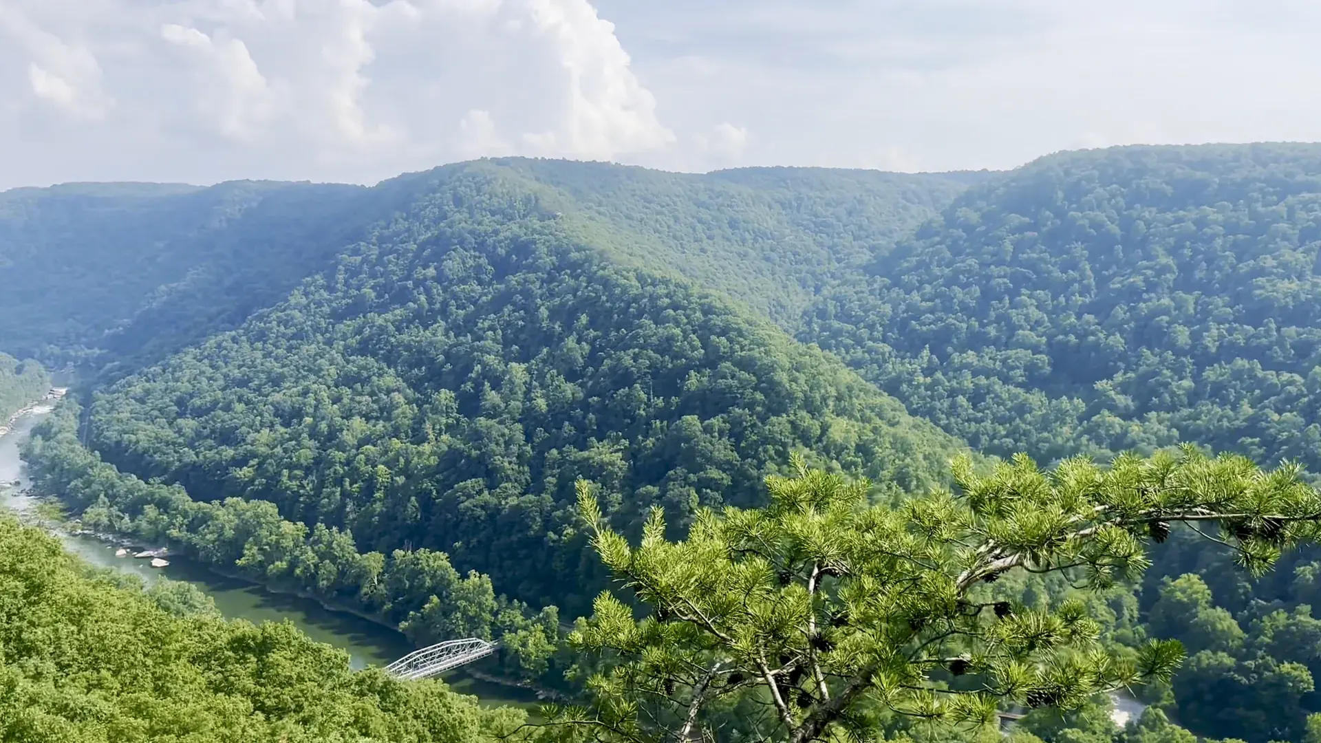
An easy walk through rhododendron forest brings you to the cliff edge, and Diamond Point has big views down the gorge. For very little effort you get the best rim views in the park.

West Virginia
53 miles of the New River and more than 70,000 acres of the gorge it carved. The New River Gorge Bridge spans it 876 feet above the water, and the park has over 40 trails, old coal towns, whitewater and climbing.
By David & Keri New, who have visited 63 of the 64 U.S. national parksUpdated
53Park 53 of our 63Visited Jul 2023
Saves this park and its trail guides on this device. Alerts and conditions are as of when you save; live maps and bookings need a connection.
NPS alertsAs of 6:03 AM ET, Nov 20
1 day is our starting point.
Use the first day for Canyon Rim and the Fayetteville area. Add Grandview and Sandstone Falls on a second day when the approaches are open, leaving time for the separate drive south.
Open the 2-day itineraryNew River Gorge districts and access
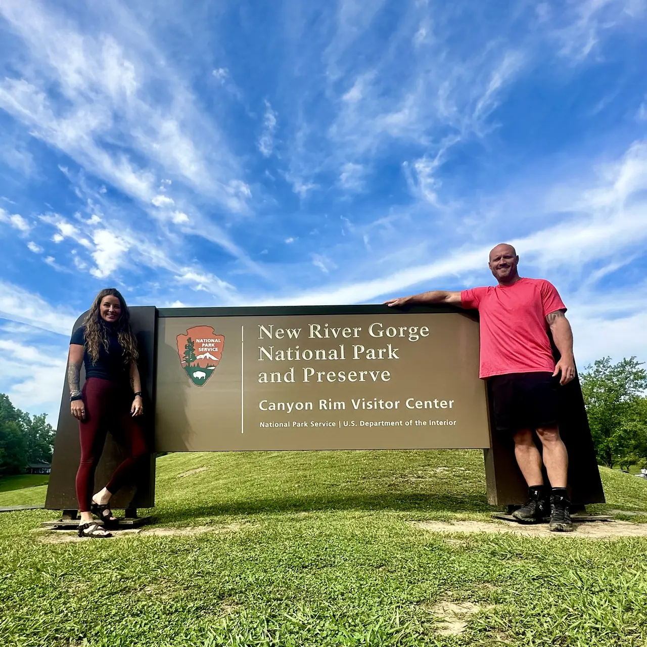
With a few hours, use the Canyon Rim Visitor Center overlooks, open daily 9 a.m. to 5 p.m. except three holidays. Then walk Long Point Trail, 1.6 miles one way, to a rock outcrop facing the bridge. Use caution at its unprotected cliff edges.
Drive narrow Route 25 for seven miles from Glen Jean to the restored Thurmond Depot and the old town. The depot visitor center opens Memorial Day through Labor Day and is closed November through May. The railroad is active, so keep off the tracks.
New River Gorge districts and accessNPS operating dates and hours
If the river trip or Fayette Station Road is unavailable, start at Canyon Rim for the bridge overlooks. Add Grandview’s main overlook by its separate approach if open. These stops work without a descent to the river.
New River Gorge districts and accessNPS road and trail closuresCurrent park conditions
Fayetteville for Canyon Rim or Hinton for the southern stops
Fayetteville keeps you close to the bridge and Canyon Rim. Compare Hinton if Sandstone Falls leads your next morning, or Beckley if you want one base between trips.
Lodging and gateway townsNew River Gorge districts and access
Book a guided river trip first if it drives the visit. Confirm the operator’s meeting point before choosing lodging. For a road trip, check Fayette Station Road separately from the highway bridge and allow for parking at the trailheads.
Getting to the parkFayette Station Road accessNPS road and trail closures
Drive in from US 19 between Beckley and Hico, or I-64 between Mossy and Sandstone. Map apps can send you to rough roads, so use the visitor center addresses NPS lists. Amtrak's Cardinal stops at Hinton and Prince three days a week.
Our visit
July 2023
Why it’s on our list
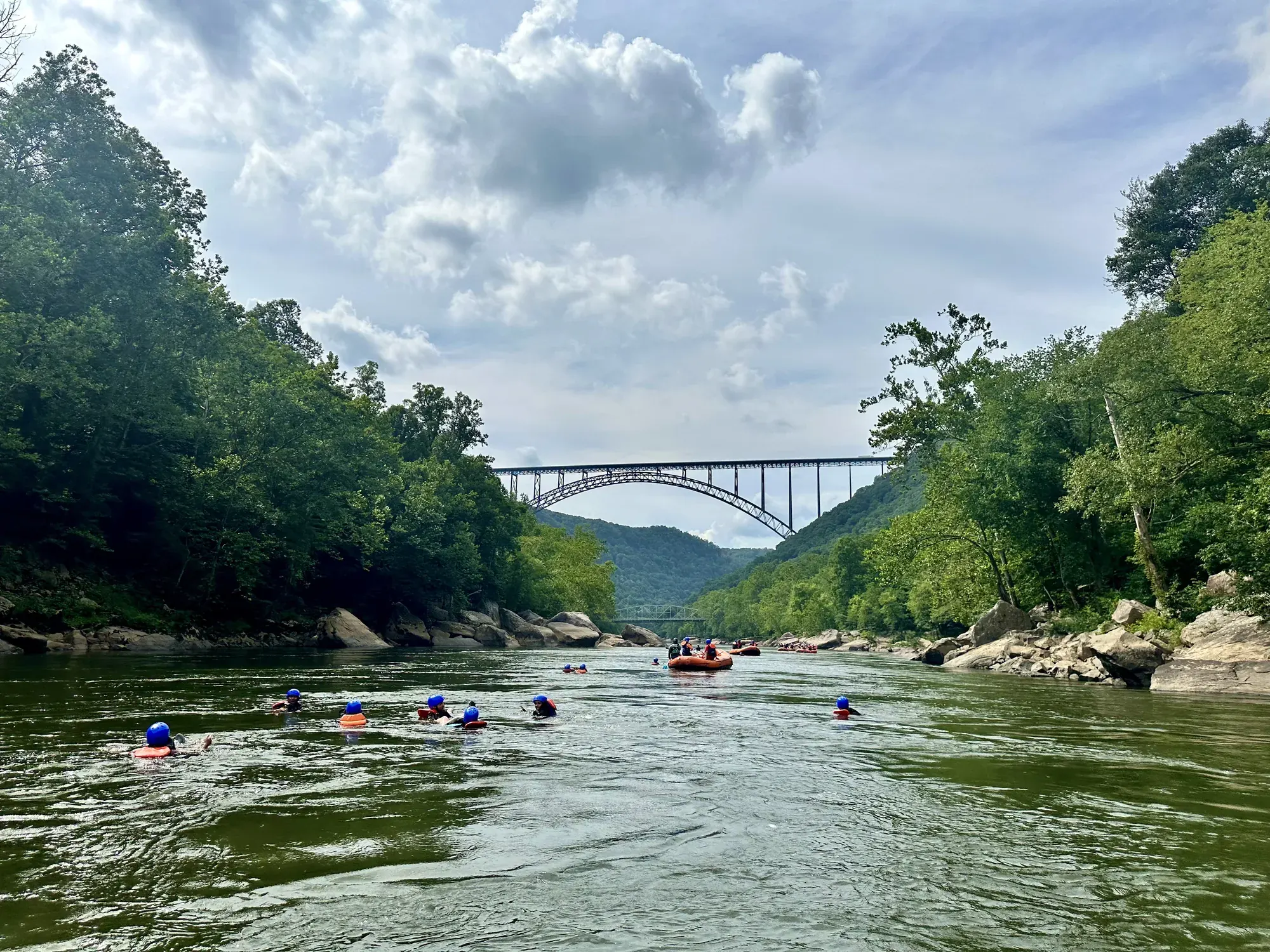
New River Gorge offers a beautiful combination of rugged Appalachian scenery, a winding river, and outstanding outdoor recreation. The massive New River Gorge Bridge is an impressive landmark, and the park offers excellent opportunities for hiking, rafting, and rock climbing. While it’s a great outdoor destination, the scenery doesn’t quite have the same wow factor as many of America’s more iconic national parks.
Our favorite moment
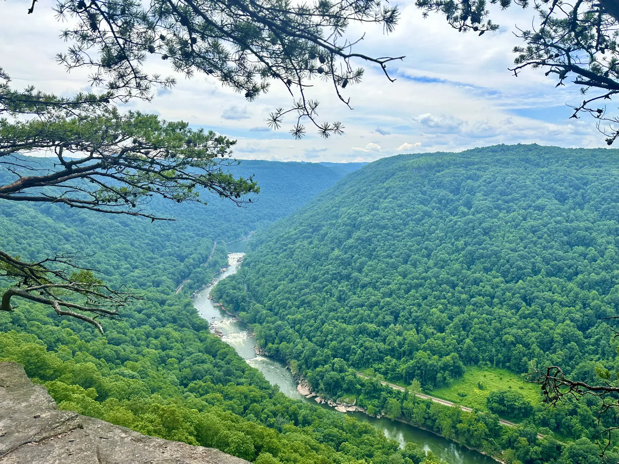
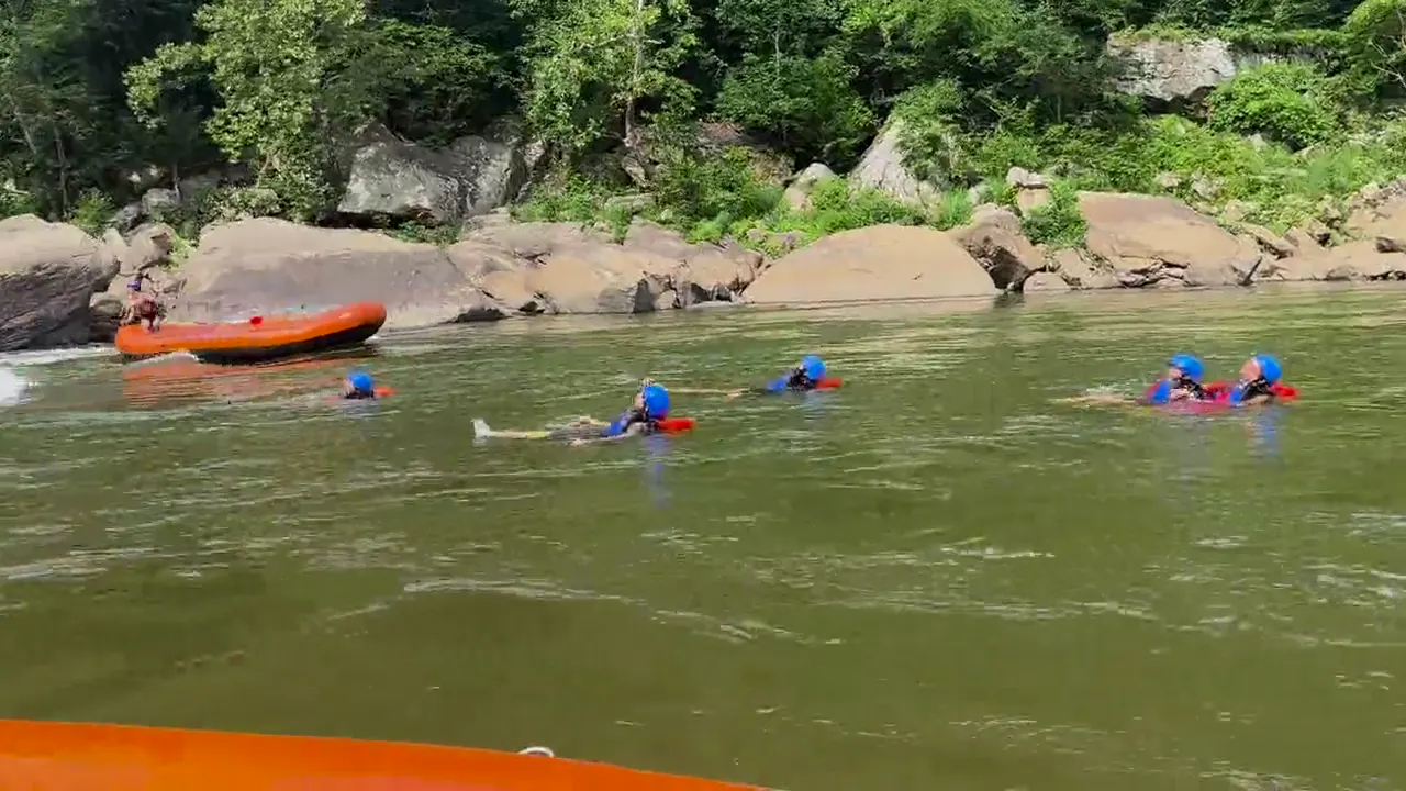
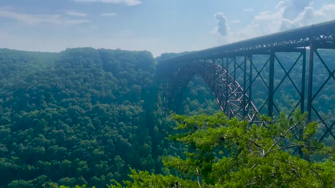
Seeing the New River Gorge Bridge from below, whitewater rafting through the gorge, and hiking the Endless Wall Trail.
Photos by David & Keri New.
Firsthand · David & Keri New
New River Gorge is a deep, green canyon in West Virginia, crossed by one of the longest steel arch bridges in the world. It’s an adventure park, with whitewater rafting, climbing and swimming in the river all summer. It’s also among the newest national parks, and it’s an easy one to love.
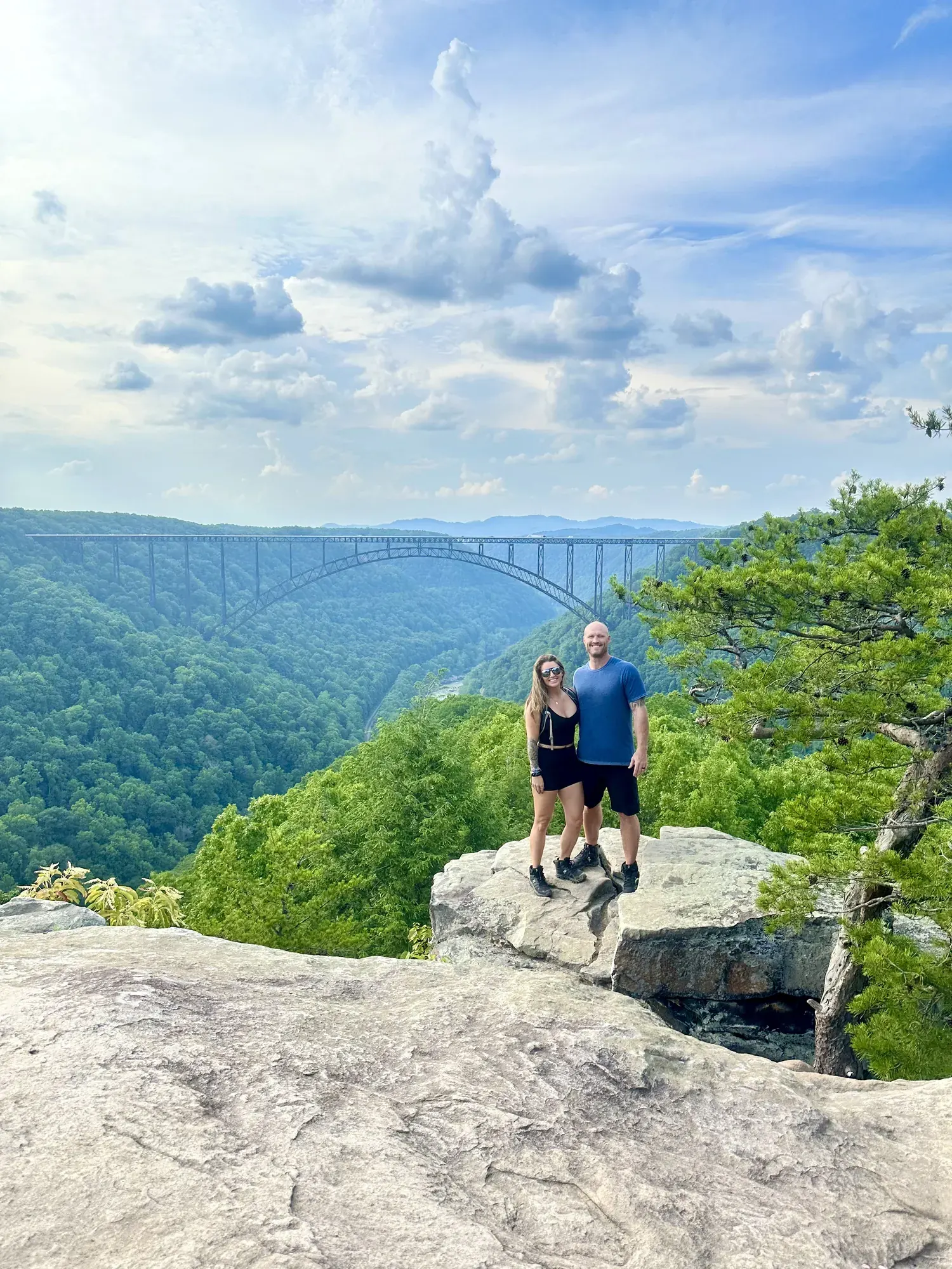
Endless Wall Trail
An easy walk through rhododendron forest brings you to the cliff edge, and Diamond Point has big views down the gorge. For very little effort you get the best rim views in the park.
Start at Canyon Rim Visitor Center and walk the boardwalk to the bridge overlook. After that, drive the old Fayette Station Road down to the river and under the bridge.
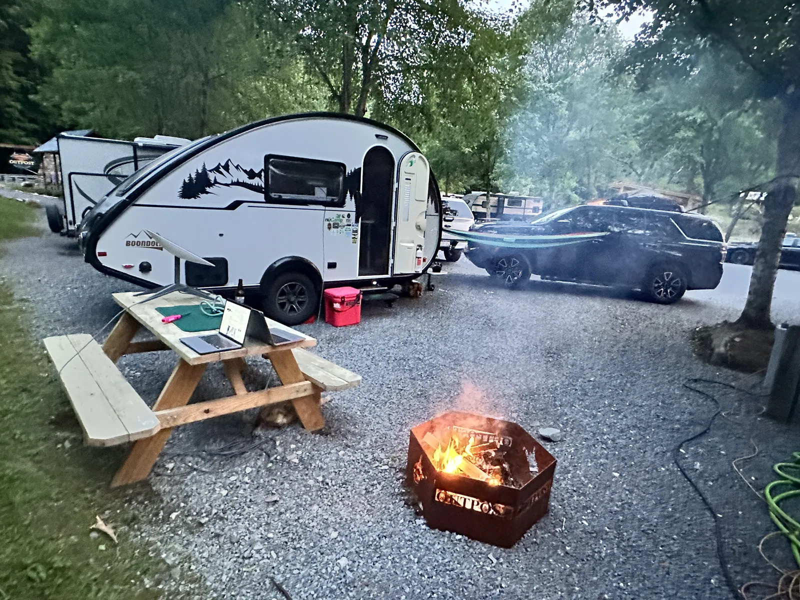
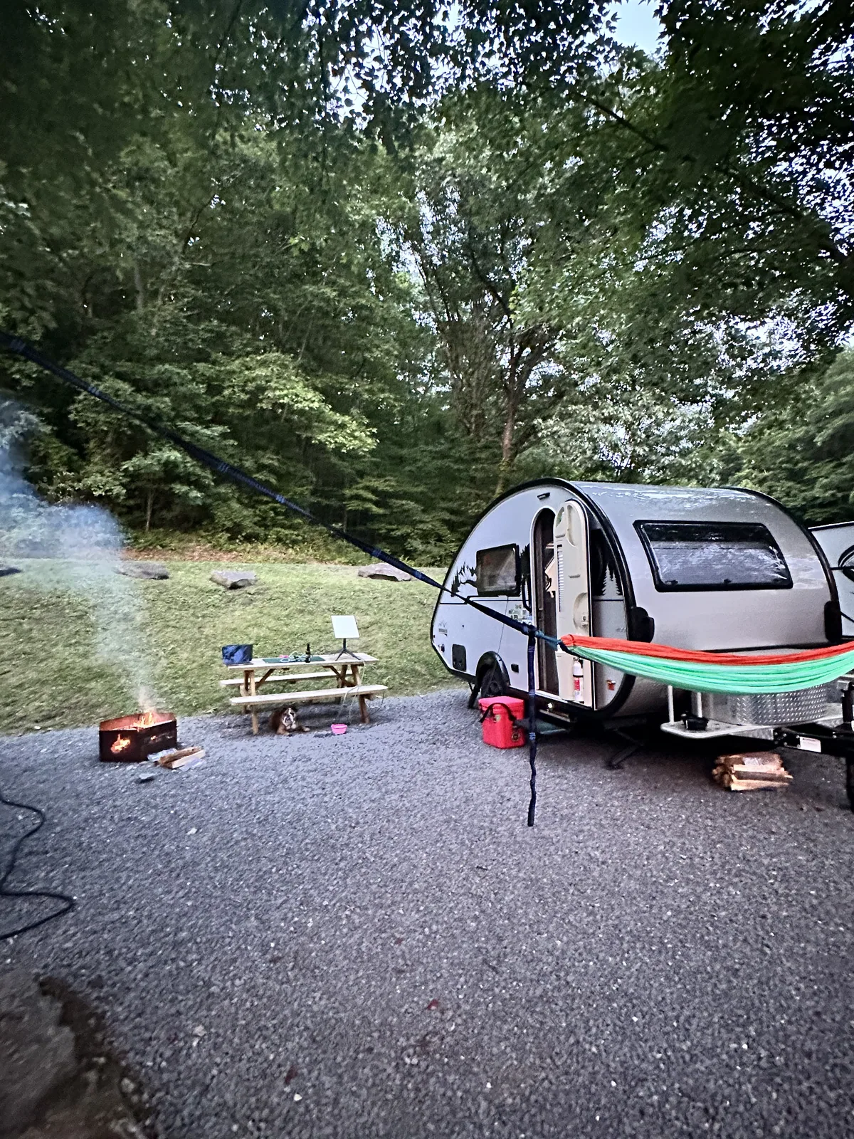
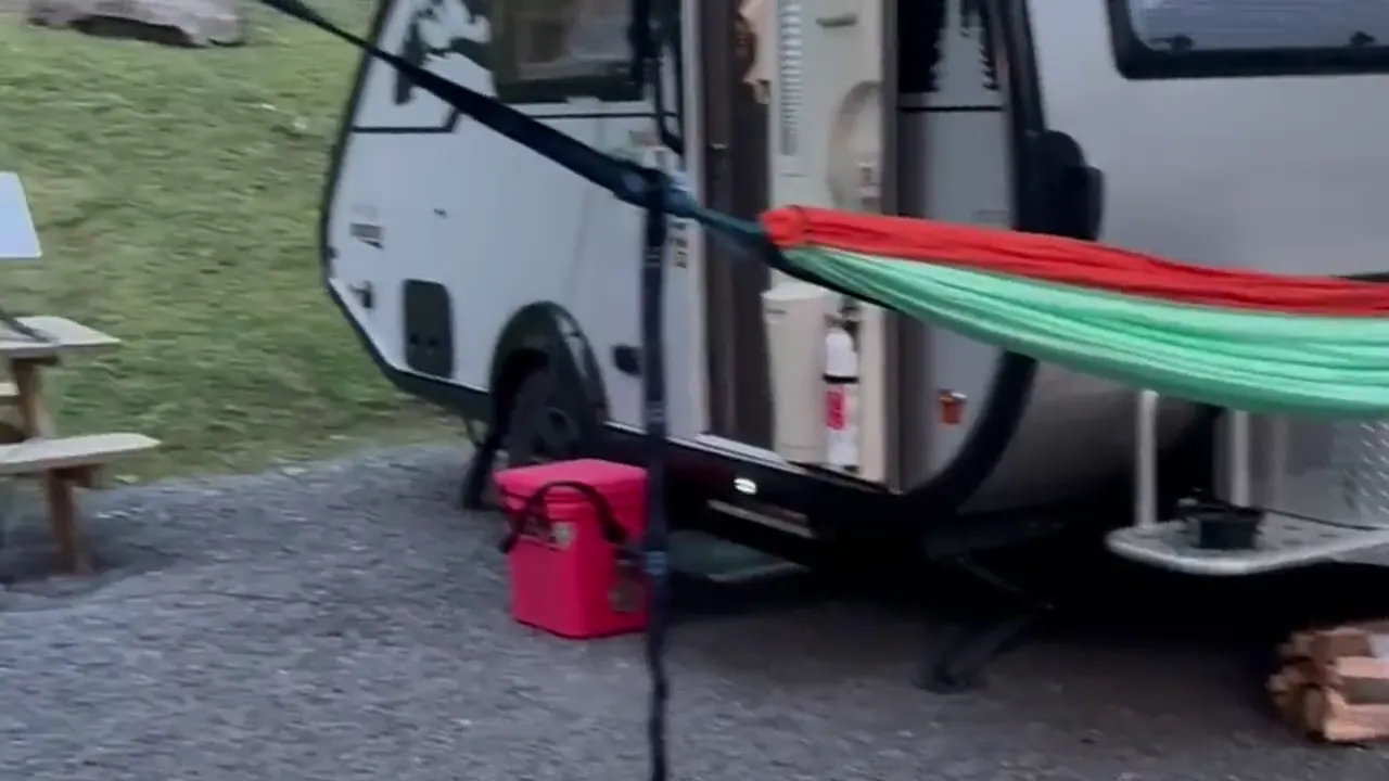
We camped in our travel trailer on Fayette Station Road in Fayetteville. We don’t recall the campground name.
October is when the gorge is at its best, so we’d like to come back for fall color.
The south end of the park is where we’d go, for the overlooks at Grandview and for Sandstone Falls.
Our visit was in early July, right after the Fourth. That’s peak summer season, so expect more people at the overlooks and on the river. The weather was warm with scattered clouds, and summer is the best time to be on the water.
Fayetteville, WV is a fun little town right by the bridge. Pies & Pints got its start there, and Secret Sandwich Society is a local favorite.
a campsite on Fayette Station Road, Fayetteville (name not recalled)
We camped in our travel trailer on Fayette Station Road in Fayetteville. We don’t recall the campground name.
Best time
May, September, October
May blooms, September hiking, and October foliage lead. Summer suits rafting, while winter brings cold and fewer services.
Month by monthItineraries
1 dayOur pick
Optional day 2 · Grandview and Sandstone Falls
New River Gorge National Park and Preserve itinerary: every day stop by stop, with sources
Compare the 1-day plans, day by day →
Map
4 visitor centers and 5 of the 14 campgrounds on a map you can zoom and drag. Map data loads from OpenStreetMap when you tap.
Visitor centerCampground Roads and trails are community-mapped; check closures with the park.
Locations from the NPS visitor-center listing, checked Nov 13, 2026. Hours and what each one has
Locations from Recreation.gov, checked Nov 7, 2026. Not on this map: Grandview Sandbar, Glade Creek, Army Camp, War Ridge/Backus Mountain, Stone Cliff, Brooklyn, Thayer, Meadow Creek and Burnwood Group Campsite (no Recreation.gov location in our data). Compare all 14 campgrounds
Official NPS maps for New River Gorge National Park and Preserve (opens in a new tab) ↗
Trails
0.6–3.2 mi
Passes unusual rock formations at Grandview, over uneven terrain.
Loop · About 30-120 minutes
Start: Left of Grandview Main Overlook; return via Grandview Rim Trail for the short loop.
1.6–3.2 mi
Field and forest trail to a rock outcrop overlooking the gorge and New River Gorge Bridge. One steep section near the point; use caution at unprotected cliff edges.
Out and back
Start: Long Point Trailhead on Newton Road, reached from WV 16 via Gatewood Road.
1.6–3.2 mi
Connects Main, North and Turkey Spur overlooks along the forested ridge. Uses the trail-specific NPS hike page, which explicitly labels 1.6 miles one way.
One way (point to point) · About 0-2 hours
Start: Main Overlook at Grandview; trail connects to Turkey Spur Overlook.
2–11.2 mi
Kates Falls is 0.4 mi off this trail. Note the Kates Plateau closure (slide).
One way (point to point)
Start: Lower trailhead at the end of Glade Creek Road, seven gravel miles from WV 41 near Prince.
2 mi
Leads to the Kaymoor coal mine site. Upper section closed Monday-Thursday, June 15-Nov 19, 2026; expected open Friday-Sunday. 2027 closure dates not announced yet (NPS, checked Nov 1, 2026).
Out and back · About 1 hour (estimated)
Start: Kaymoor Top: follow Gatewood Road from WV 16, then Kaymoor No. 1 Road to the signed parking area.
2 mi
In the Sandstone-Brooks area.
Loop
Start: Across River Road from Brooks Falls Overlook, five miles north of the WV 20 bridge in Hinton.
2.4 mi
A rim trail to Diamond Point Overlook. To get back to your car, either retrace your steps from Diamond Point or walk carefully along the road. Uneven terrain.
One way (point to point) · About 60–120 minutes
Start: Fern Creek or Nuttall trailhead on Lansing-Edmond Road, 1.3 or 1.8 miles from US 19.
4 mi
Crosses two bridges to islands and observation decks overlooking Sandstone Falls, with fishing access.
Out and back · About 30 minutes
Start: Sandstone Falls Boardwalk.
10 mi
Views of the gorge and the New River Gorge Bridge; an accessible ramp leads to the first viewpoint.
Out and back
Start: Canyon Rim Visitor Center parking lot off US 19 in Lansing; follow the sidewalk beside the stone bulletin board.
Distances, gains and difficulty as NPS publishes them; the bar shows the published distance, dashed where a longer option exists.
Camping
Fees, permits & rules
Last verified · nps.gov All New River Gorge National Park and Preserve fees, permits and booking deadlines →
As of Nov 1, 2026, Cunard Road is scheduled to close Nov 9 from just past the Brooklyn Mine Trail parking lot to the river. Repairs continue through 2027. The Oct 28 NPS closures page says both “through April 2027″ and November-March, with conflicting March/April reopening language. Confirm spring access with the park at 304-465-0508; open periods may have one-lane traffic and signals.
Last verified · Road & trail closures (NPS, Oct 28 2026)The Rend Trail is closed from both the Thurmond and Minden ends until about December 2027, for work that includes a new Minden trailhead, a restroom and trestle repairs. The Church Loop Trail is closed too, since its only access is from the Rend.
Last verified · Road & trail closures (NPS)For 2026, the upper trail from Kaymoor Top to the Kaymoor Trail junction is closed Monday-Thursday, June 15-Nov 19; it is expected to open Friday-Sunday. The mine site remains reachable via Kaymoor Trail from Fayette Station Road or Craig Branch Trail, and the lower stairs remain open. 2027 closure dates not announced yet (NPS, checked Nov 1, 2026).
Last verified · Road & trail closures (NPS)Closed: Keeney’s Creek Rail Trail above the Conveyor Trail junction (damaged bridges), and a section of Kates Plateau Trail near Glade Creek Trail (slide). Glade Creek Road is scheduled to close Nov 10, 2026 through March, past Grandview Sandbar. Grandview Sandbar remains accessible; Glade Creek Campground will be inaccessible and Glade Creek Trail accessible only from its upper end. Dates may change.
Last verified · Road & trail closures (NPS)NPS warns that Apple Maps and Google Maps can send you to rough, inaccessible spots. Use the park’s published GPS coordinates or addresses instead.
Last verified · Directions (NPS)Email me this guide Get a link to the New River Gorge National Park and Preserve guide in your inbox, to open again when you plan or before you go.
One email with the link. We don’t add you to any list unless you tick the box.
Historical recreation visits · 2021–2025 · as of Nov 3, 2026. Visits count entries, not unique people, parking spaces or trail crowding.
Busiest by average count: Jul. Quietest: Jan. Each bar is that month’s average visits across 5 years; unusual years and reported zeros are included. Past visits can’t tell you the best time of day to arrive.
Every month’s visits and NOAA weather, with the counts for each year →
NPS Visitor Use Statistics: monthly report · NPS monthly data · checked Nov 3, 2026; latest included year 2025.
Plan your visit
For any park: passes and free entrance days · what to pack · visiting with kids · stargazing
Getting there and park logistics →
Find a place to stay near New River Gorge National Park and Preserve → See camping and backup options for this park. Base town: Fayetteville, WV.
How this page is made. The section “What we’d tell a friend” is ours. Our recorded visits to New River Gorge National Park and Preserve include July 2023.Planning information, including any fees, permits, closures, weather and crowd figures shown here, is compiled from the National Park Service, Recreation.gov and other public sources, and each fact shows the date we last checked it. If something is wrong, tell us and we’ll log the fix on our corrections page.