Our favorite hike
Mount LeConte via Alum Cave Bluffs
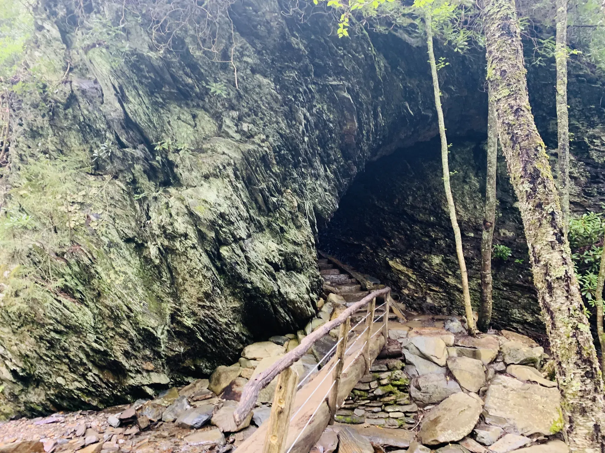
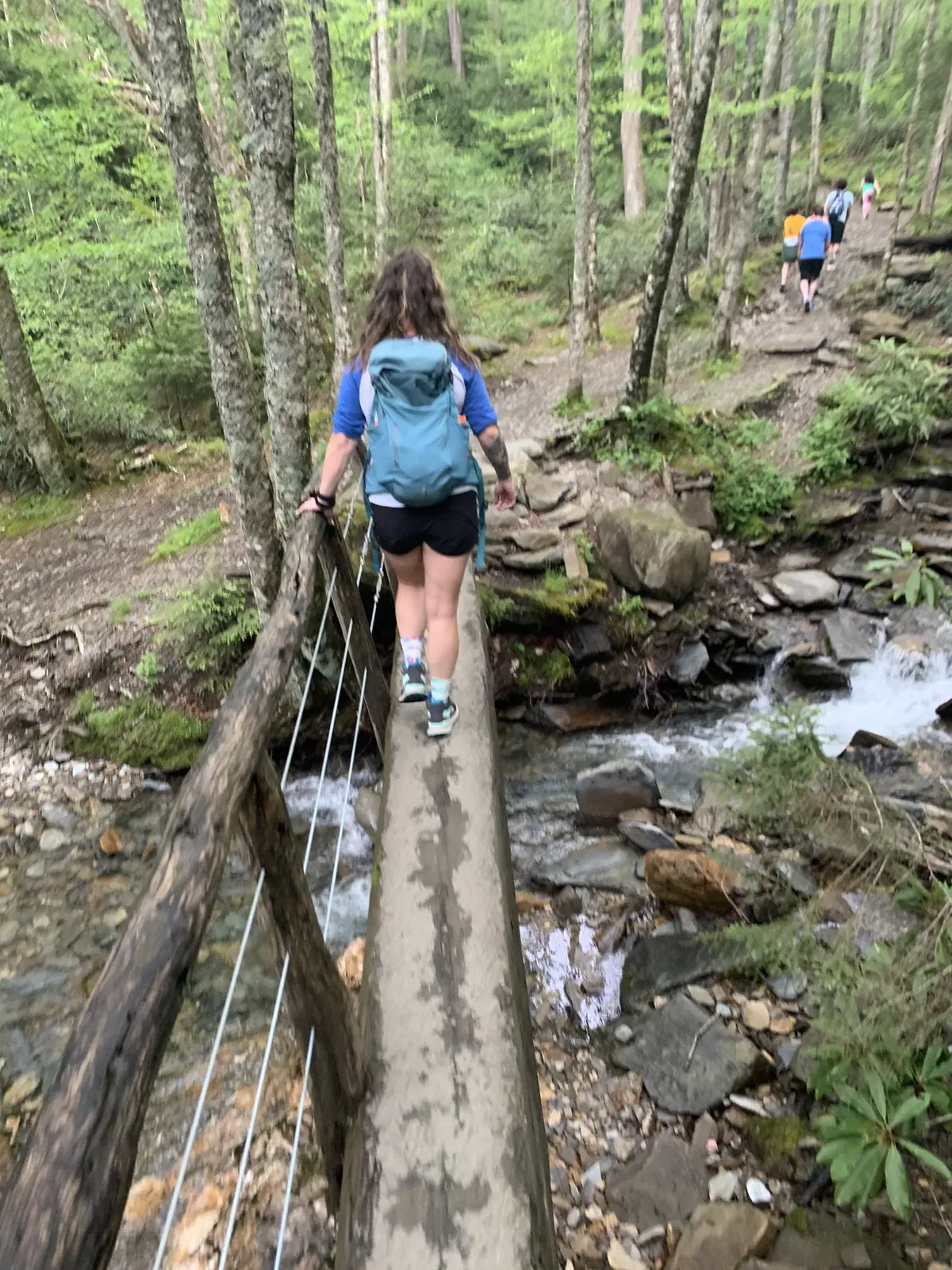
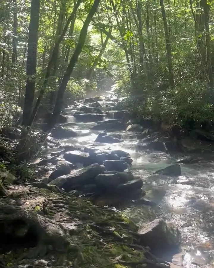
You follow a creek, climb stone steps through Arch Rock, and pass under a huge overhanging bluff with views back across the ridges. We went all the way to the top of Mount LeConte.

North Carolina & Tennessee
Southern Appalachian park straddling the Tennessee-North Carolina line, known for forested ridges, wildflowers, historic mountain farmsteads and Cades Cove.
By David & Keri New, who have visited 63 of the 64 U.S. national parksUpdated
2Park 2 of our 63Visited May 2020
Saves this park and its trail guides on this device. Alerts and conditions are as of when you save; live maps and bookings need a connection.
NPS alertsAs of 6:03 AM ET, Nov 20
3 days is our starting point.
With a few hours, drive the 11-mile, one-way Cades Cove Loop Road from Townsend. NPS says to allow at least two to four hours. The loop is open sunrise to sunset but closed to vehicles each Wednesday, typically May through September.
Add the Roaring Fork Motor Nature Trail, a 5.5-mile, one-way loop road. Its 2026 season runs April 17 to November 29. Buses, trailers and motor homes are not allowed, and parking tags cannot be bought there.
National Park Service guidanceNational Park Service guidance
If Newfound Gap Road closes, keep the Tennessee days together and treat the North Carolina leg separately. Check Cades Cove vehicle access for your date and choose a different stop if the road is unavailable.
Tennessee side, then North Carolina
Use Townsend for Cades Cove or Gatlinburg for the Alum Cave side. Use Cherokee or Bryson City for the North Carolina leg.
Arrange your parking tag and reserve a campsite if you plan to camp. A parking tag does not reserve a space.
Check Newfound Gap Road before a Gatlinburg-to-Cherokee transfer. In winter weather it can close, so confirm any detour before changing bases.
Our visit
May 2020
Why it’s on our list
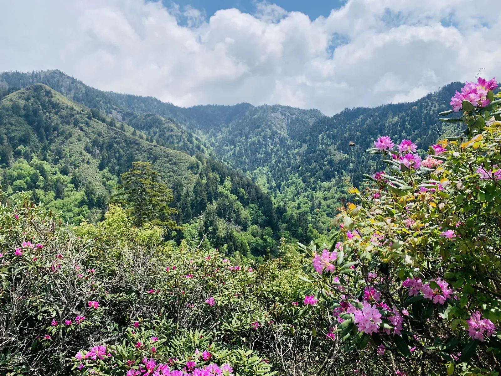
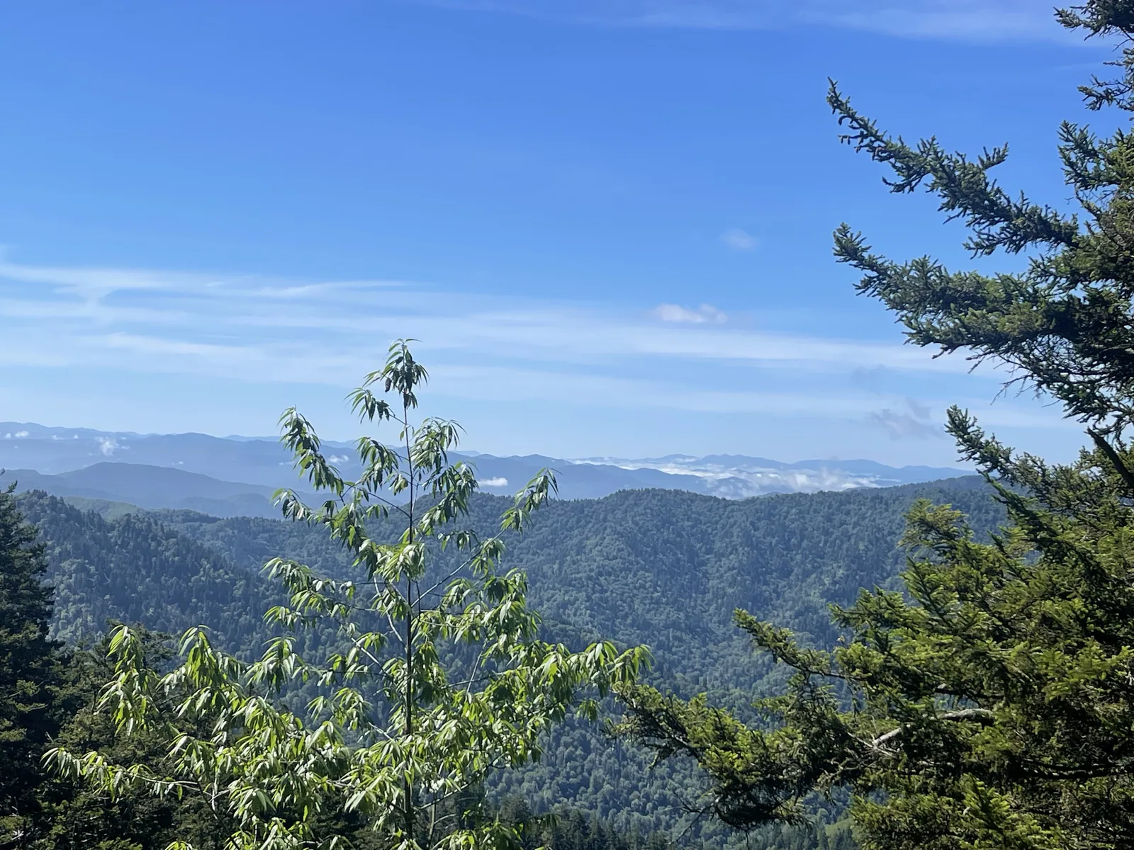
The Great Smoky Mountains offer some of the most beautiful forest scenery in the eastern United States. From cascading waterfalls and lush mountain trails to incredible fall colors and abundant wildlife, there’s a reason this is America’s most visited national park. Although the mountains aren’t as dramatic as those out west, the park has a charm that’s entirely its own.
September 2021
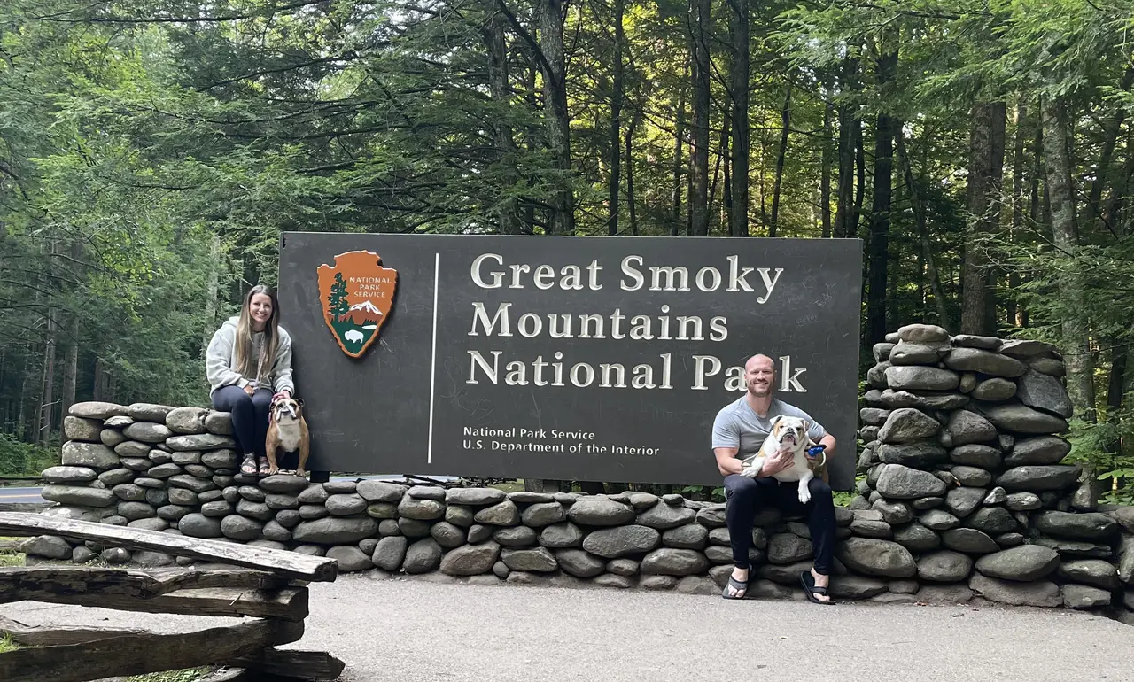
August 2023
Our favorite moment
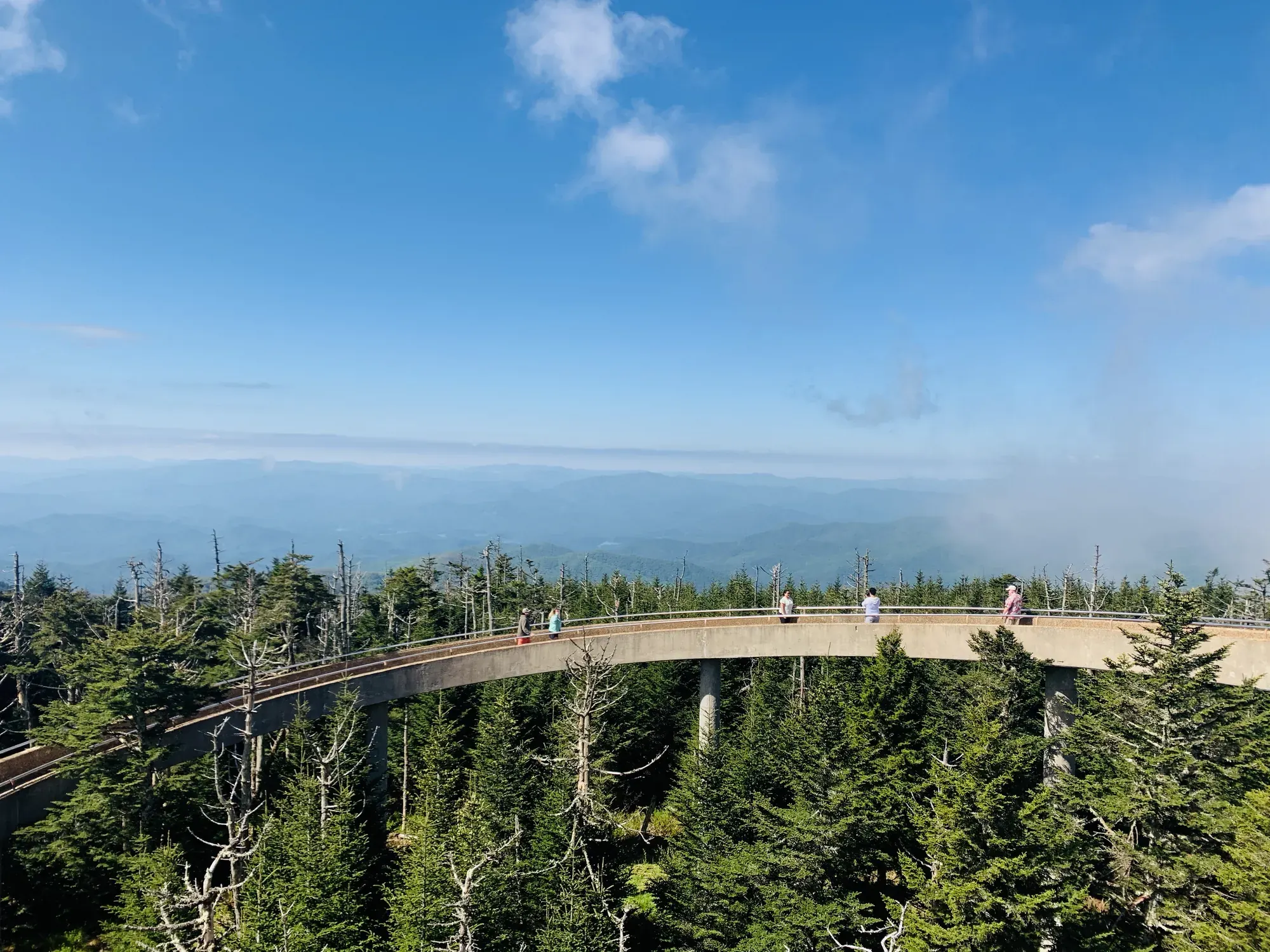
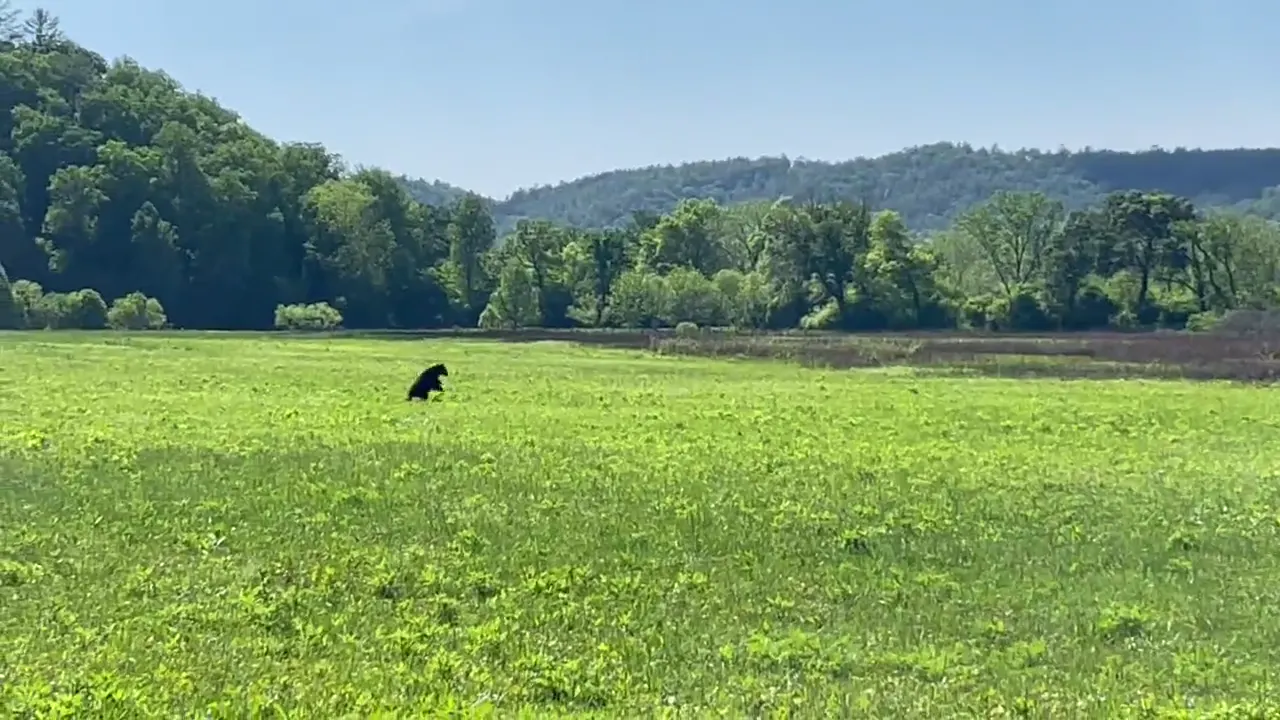
Hiking Mount LeConte, watching the sunrise from Clingmans Dome (Kuwohi), and riding e-bikes in Cades Cove to see the black bears.
Photos by David & Keri New.
Firsthand · David & Keri New
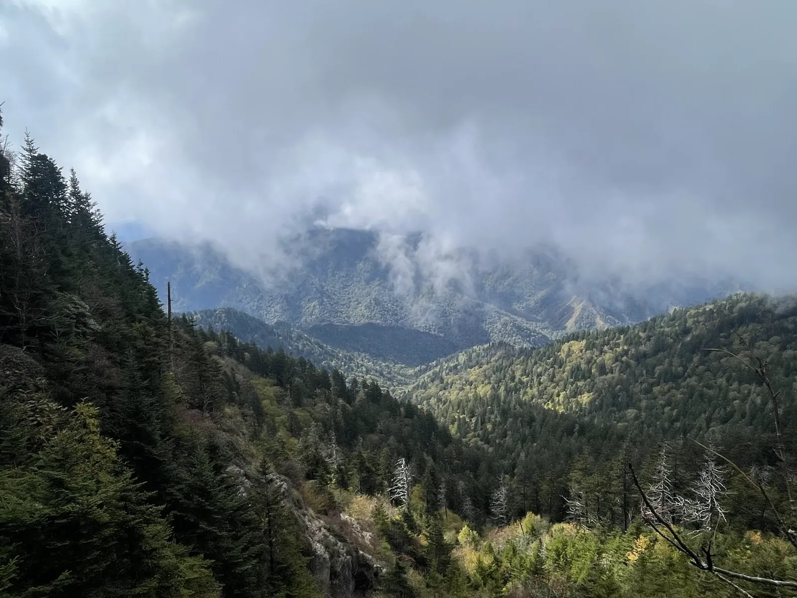
The Smokies are layer after layer of misty blue ridges, with old-growth forest, waterfalls, and historic cabins and mills tucked into the valleys. More people visit here than any other national park in the country, and we get why. You can still find quiet trails if you start early. We used to have a cabin in the area, so we have been here a bunch of times.
Mount LeConte via Alum Cave Bluffs
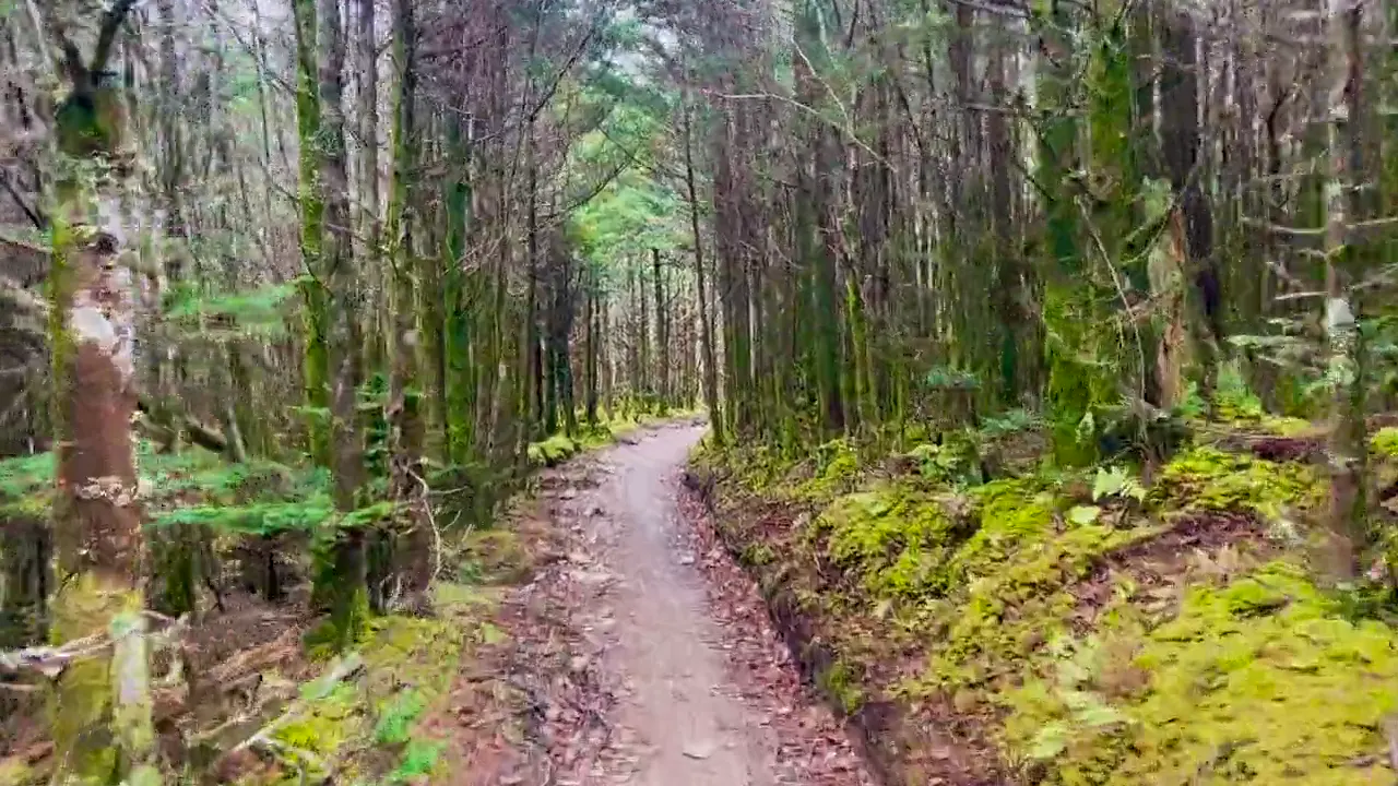
You follow a creek, climb stone steps through Arch Rock, and pass under a huge overhanging bluff with views back across the ridges. We went all the way to the top of Mount LeConte.
Buy a parking tag online before you go, because you need one to park anywhere in the park for more than 15 minutes. Popular trailheads like Alum Cave fill early, so get there by 8 am.
An early morning drive up to Cataloochee Valley to see the elk, then Kuwohi for sunset.
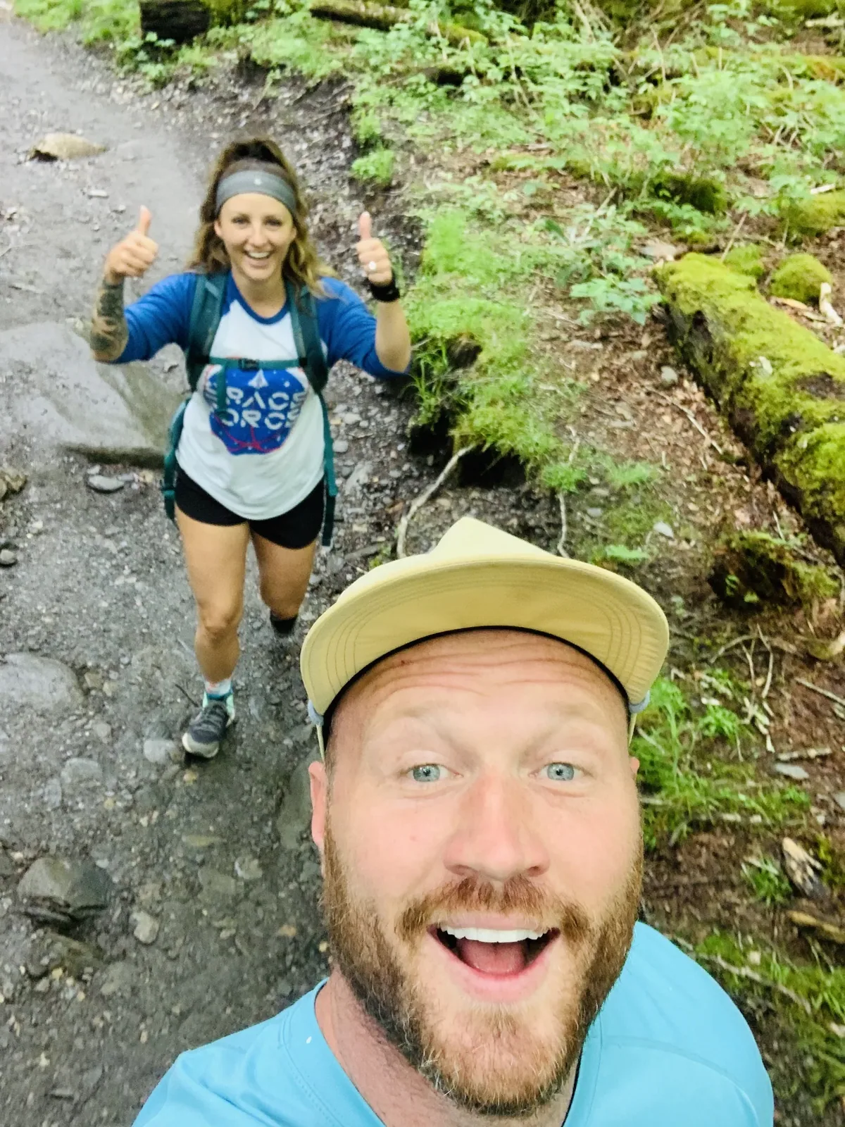
Late May is busy. We came right after Memorial Day weekend, and in 2020 the park had only just reopened that month after the COVID closure. It was gray and damp, which is pretty normal for the Smokies in late spring, but everything was green and the mountain laurel was blooming.
Gatlinburg is right at the main entrance, and Pancake Pantry is a long-time breakfast stop there. The Old Mill restaurant is awesome. It depends on what you want. The North Carolina side is the quieter side for sure, and I’ve spent lots of time around Maggie Valley. Bryson City is a smaller, easier town to walk around. But the Tennessee side is the one we know best, since we used to own a cabin near Gatlinburg. Gatlinburg and Pigeon Forge are one of the most unique and fun mountain town areas anywhere, with more mountain coasters, fudge shops, Southern food restaurants, gift stores and things to do than almost anywhere we’ve been.
Elkmont Campground
David 7/10Keri 8/10
We did not get very good cell service, and Starlink does not work great there due to the density of the forest.
Best time
May, October
Most-visited US park. May and October best. June, July, October busiest. Firefly lottery late May/June. Winter closes Kuwohi Rd and most campgrounds.
Month by monthItineraries
1 day
2 days
3 daysOur pick
5 days
Great Smoky Mountains itinerary: every day stop by stop, with sources
Compare the 1-, 2-, 3- and 5-day plans, day by day →
Map
4 visitor centers and 30 of the 31 campgrounds on a map you can zoom and drag. Map data loads from OpenStreetMap when you tap.
Visitor centerCampground Roads and trails are community-mapped; check closures with the park.
Locations from the NPS visitor-center listing, checked Nov 13, 2026. Hours and what each one has
Locations from Recreation.gov, checked Nov 7, 2026. Not on this map: Abrams Creek (no Recreation.gov location in our data). Compare all 31 campgrounds
Official NPS maps for Great Smoky Mountains (opens in a new tab) ↗
Trails
1 mi
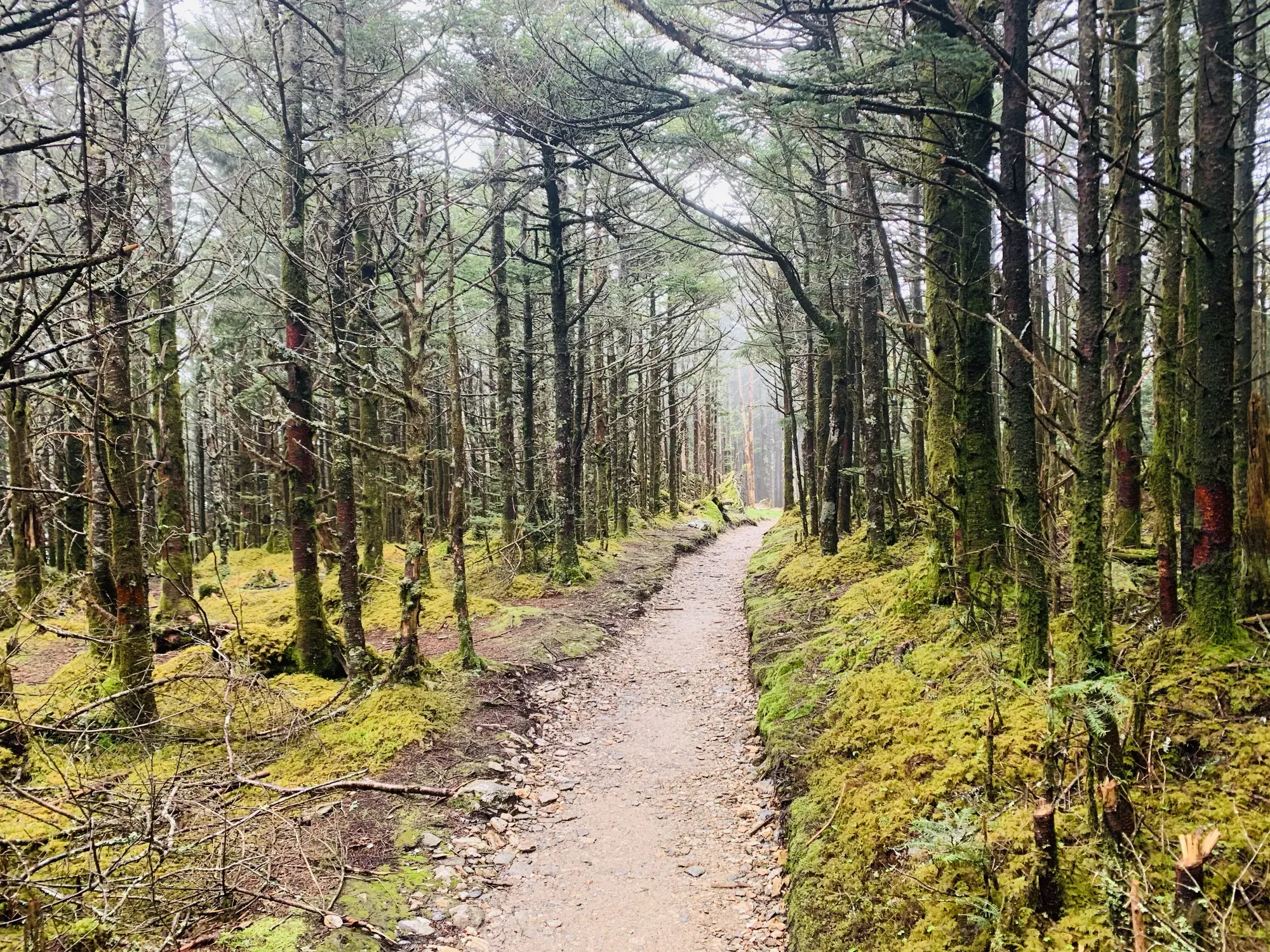
Observation tower on the park’s highest peak.
Out and back · About 1 hour
Start: Paved trail from Kuwohi parking area.
2.6 mi
Trillium Gap Trail, off Roaring Fork; a bear warning is posted for this trail.
Out and back · About 2 hours
Start: Trillium Gap Trail, just off Roaring Fork Motor Nature Trail.
3.5 mi
Ends at an overlook; the area beyond is closed after the November 2016 wildfire. Do not pass the gate.
Out and back
Start: Chimney Tops Trailhead on Newfound Gap Road (US 441).
3.6 mi
Grassy bald known for summer azaleas.
Out and back
Start: Forney Ridge Trailhead at Kuwohi parking area, left before the visitor information center.
4 mi
Riverside walk; one of only two trails that allow dogs.
Out and back · About 1.25 hours (estimated)
Start: From Sugarlands Visitor Center, walk behind the building, past restrooms and park headquarters to the trailhead.
4.6 mi
Turn around at Arch Rock (2.8 mi round trip) for an easier walk; continues to Mount Le Conte (10 mi round trip).
Out and back · About 4 hours
Start: Alum Cave Bluffs Trailhead on Newfound Gap Road (US 441), between mile markers 10 and 11.
5 mi
From the Cades Cove Loop; swimming is strongly discouraged (deadly undertow).
Out and back · About 3–4 hours
Start: Abrams Falls Trailhead at Abrams Falls Road, about halfway around Cades Cove Loop Road.
5.6 mi
Out and back · About 2.5 hours (estimated)
Start: Rainbow Falls Trailhead on Cherokee Orchard Road; upper or lower parking lot.
8 mi
Appalachian Trail from Newfound Gap.
Out and back · About 5 hours
Start: Appalachian Trail from Newfound Gap parking area.
8 mi
The park’s tallest waterfall (105 ft). Expect extreme crowding.
Out and back · About 3.75 hours (estimated)
Start: Ramsey Cascades Trailhead on Ramsey Prong Road in Greenbrier.
Distances, gains and difficulty as NPS publishes them; the bar shows the published distance, dashed where a longer option exists.
Camping
Fees, permits & rules
Parking tag required: $5 a day. Last verified · nps.gov All Great Smoky Mountains fees, permits and booking deadlines →
Tags are not replaceable, refundable, transferable or upgradable, and do not guarantee a space. They are sold online and in person.
Last verified · Fees & Passes - Great Smoky Mountains (NPS)NPS says new backcountry permits are issued through Recreation.gov, with a new $6 non-refundable permit fee, the $40 cap removed and the Appalachian Trail thru-hiker pass at $44.50.
Last verified · Backcountry Camping (NPS)Closed for rehabilitation. After crews hit unexpected ground conditions, the park expects it to reopen sometime in 2027.
Last verified · Current Closures - Great Smoky Mountains (NPS)Caldwell Fork, Gunter Fork and Swallow Fork trails are closed. Big Creek Trail is open only for its first 2 miles (to Mouse Creek Falls). Several Cataloochee-area trails have washouts and missing foot logs. Call (865) 436-1297 for current backcountry conditions.
Last verified · Current Closures - Great Smoky Mountains (NPS)Email me this guide Get a link to the Great Smoky Mountains guide in your inbox, to open again when you plan or before you go.
One email with the link. We don’t add you to any list unless you tick the box.
Historical recreation visits · 2021–2025 · as of Nov 3, 2026. Visits count entries, not unique people, parking spaces or trail crowding.
Busiest by average count: Oct. Quietest: Jan. Each bar is that month’s average visits across 5 years; unusual years and reported zeros are included. Past visits can’t tell you the best time of day to arrive.
Every month’s visits and NOAA weather, with the counts for each year →
NPS Visitor Use Statistics: monthly report · NPS monthly data · checked Nov 3, 2026; latest included year 2025.
Plan your visit
For any park: passes and free entrance days · what to pack · visiting with kids · stargazing
Getting there and park logistics →
Find a place to stay near Great Smoky Mountains → See camping and backup options for this park. Base town: Gatlinburg, TN.
How this page is made. The section “What we’d tell a friend” is ours. Our recorded visits to Great Smoky Mountains include May 2020.Planning information, including any fees, permits, closures, weather and crowd figures shown here, is compiled from the National Park Service, Recreation.gov and other public sources, and each fact shows the date we last checked it. If something is wrong, tell us and we’ll log the fix on our corrections page.