Our favorite hike
Cleetwood Cove Trail
Cleetwood Cove was the only trail down to the water, and we took a boat trip to Wizard Island from there. It’s closed through summer 2028, with no shore access, boat tours or swimming.

Oregon
The deepest lake in the United States (1,943 ft) fills the caldera of Mount Mazama, a volcano that collapsed 7,700 years ago. The 33-mile Rim Drive circles it in summer. About 41 ft of snow falls in an average year, so most of the park is a ski-and-snowshoe world for much of the year.
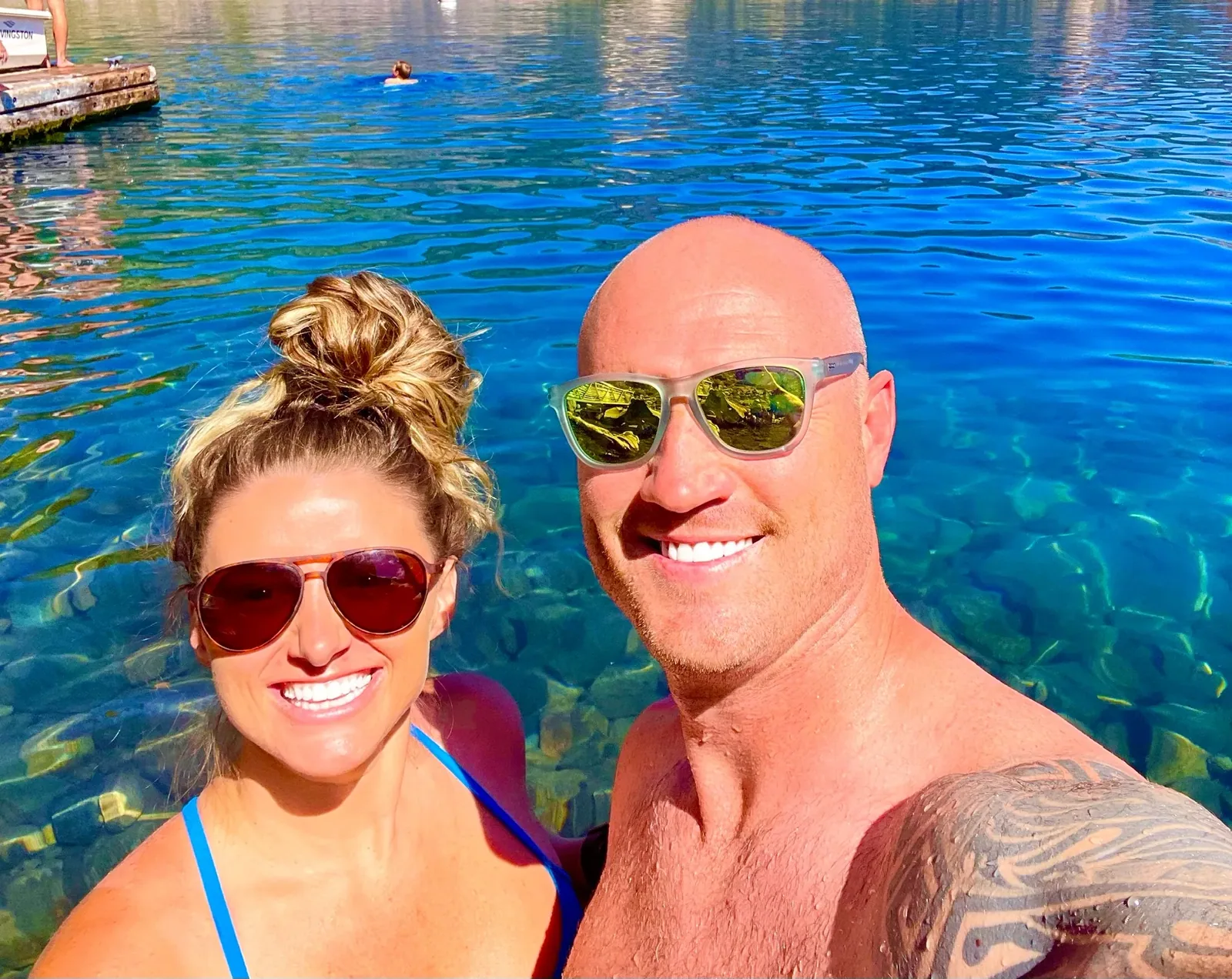
By David & Keri New, who have visited 63 of the 64 U.S. national parksUpdated
45Park 45 of our 63Visited Sep 2018 and Aug 2022
Saves this park and its trail guides on this device. Alerts and conditions are as of when you save; live maps and bookings need a connection.
NPS alertsAs of 6:03 AM ET, Nov 20
1 day is our starting point.
Give an open Rim Village the first clear morning. Walk to Discovery Point if the trail is suitable. Add Garfield Peak and the west rim on day two, then Sun Notch and the Pinnacles only if East Rim Drive and their approach roads are open.
Drive up to Rim Village for lake views from the promenade. The 3-mile road from park headquarters can close for days in heavy snow. If it is closed, stop at the Steel Information Center, open 10 am to 4 pm daily except December 25.
Book a ranger-guided snowshoe walk, offered weekends and holidays from late November through April when snow allows. Walks start at 12:30 pm and need a phone reservation. In summer, with West Rim Drive open, hike Watchman Peak, 1.6 miles round trip.
National Park Service guidanceNPS hiking routesNPS park conditions
If Rim Drive is closed but the Rim Village road is open, use the promenade for lake views when visibility allows. If snow also closes the road above headquarters, stop at the Steel Information Center if accessible and save the lake-view trip for a clearer day.
NPS park conditionsCrater Lake winter accessCurrent park conditions
Fort Klamath or Union Creek when the north road is closed
Choose Fort Klamath for a south approach or Union Creek for a west approach via Highway 62. Compare Diamond Lake for a summer north-entrance trip after confirming that entrance is open for your dates.
Before reserving a seasonal room or campsite, check both the route to your base and the road from park headquarters to Rim Village. Cleetwood Cove is closed for the 2026 through 2028 seasons. Plan lake views from the rim and check the park’s tour update if a boat trip matters to you.
NPS park conditionsCleetwood Cove rehabilitationCrater Lake boat and trolley updatesLodging and gateway towns
Use the South or West Entrance on Highway 62, open all year. The North Entrance closes each winter, on November 1 or earlier with heavy snow. Chains or traction tires may be required. Gas in the park is seasonal, so fill up beforehand.
Our visit
September 2018
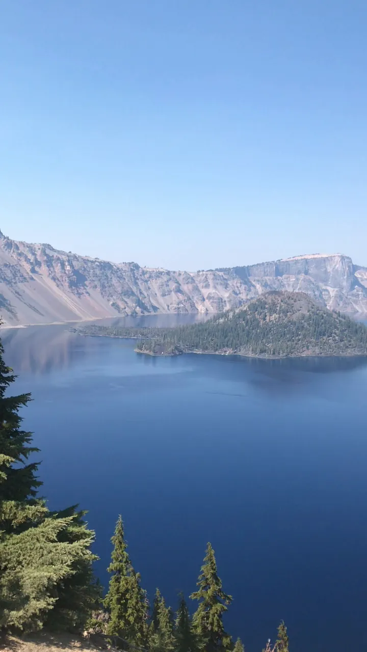
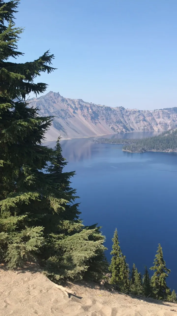
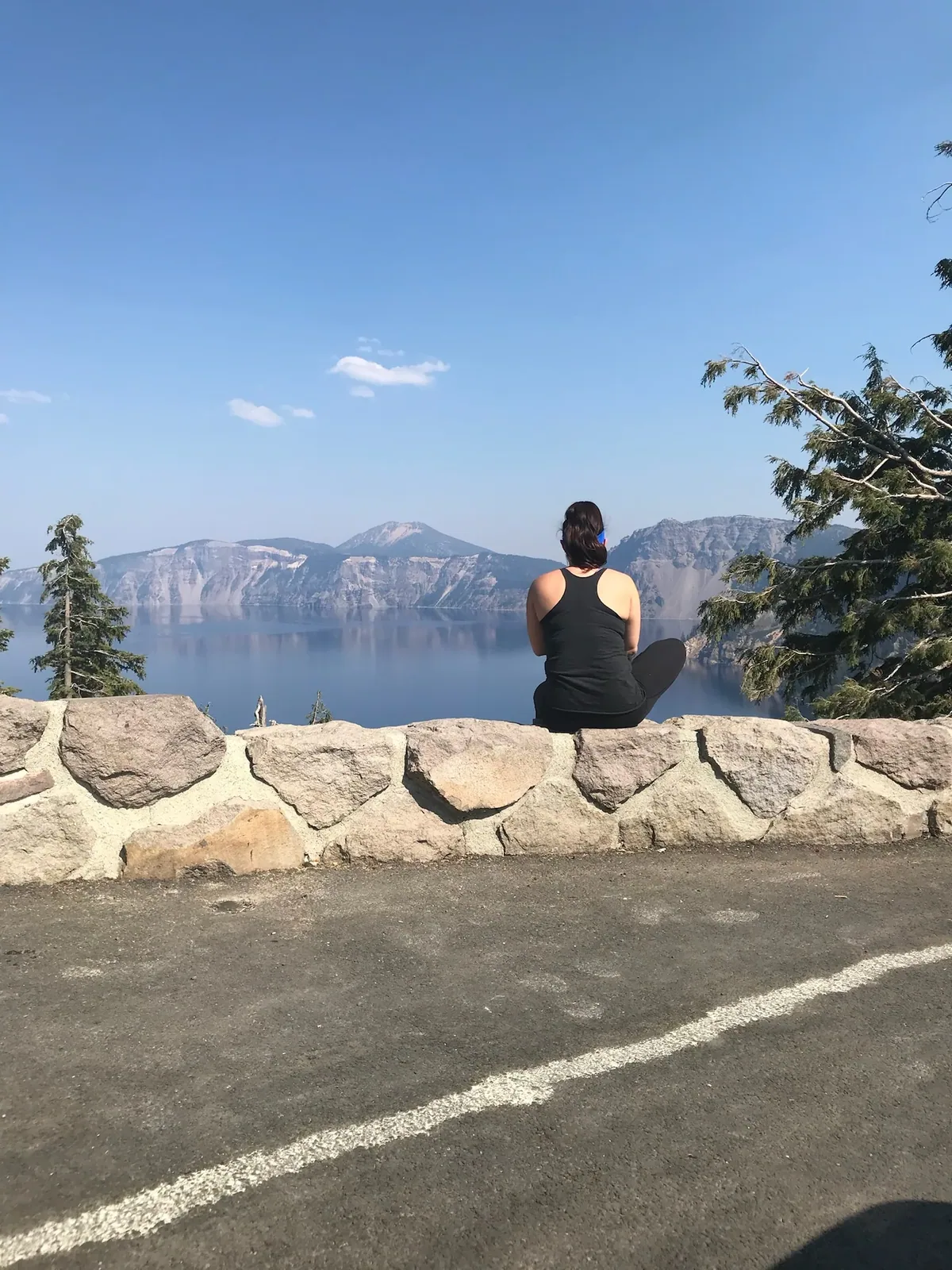
Why it’s on our list
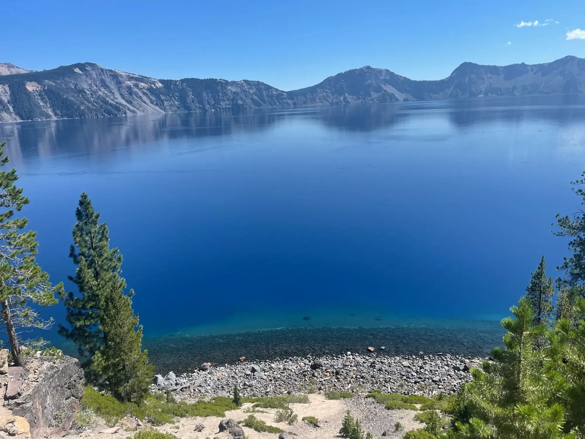
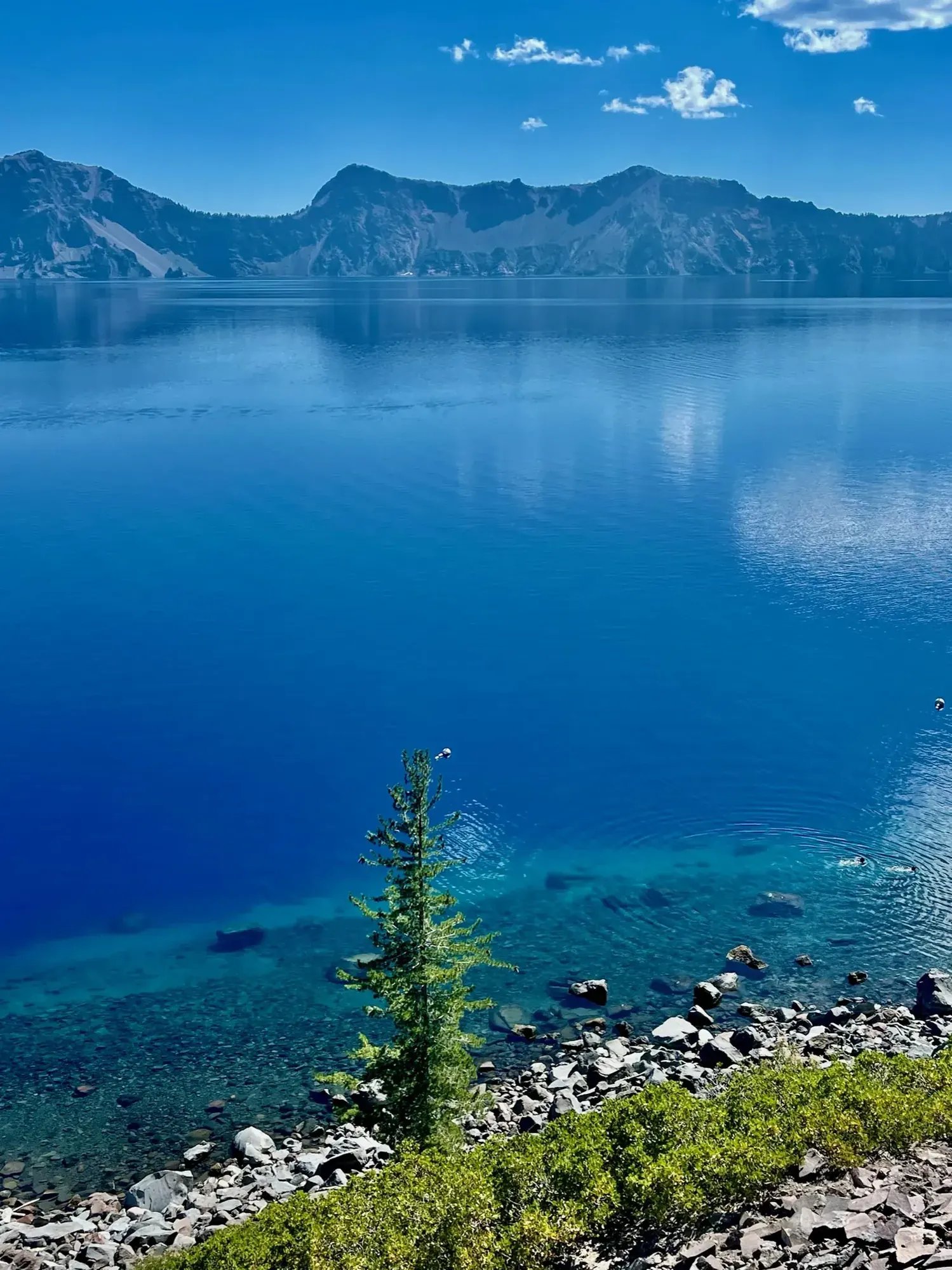
Crater Lake is home to one of the most beautiful bodies of water we’ve ever seen. The incredibly deep-blue water surrounded by towering volcanic cliffs is a sight that stays with you long after leaving. Although the park doesn’t offer the same variety as some others, its signature attraction is absolutely spectacular.
August 2022Back again
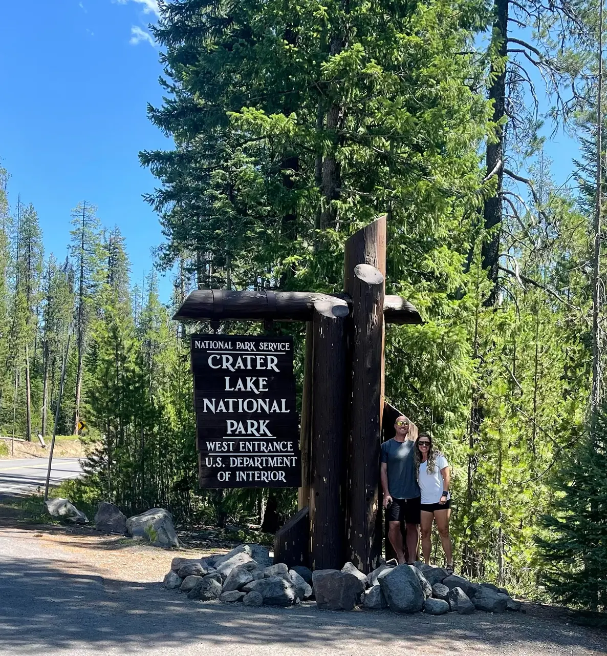
Our favorite moment
Seeing the lake for the first time, hiking the Cleetwood Cove Trail to the water, and taking a boat trip to Wizard Island.
Photos by David & Keri New.
Firsthand · David & Keri New
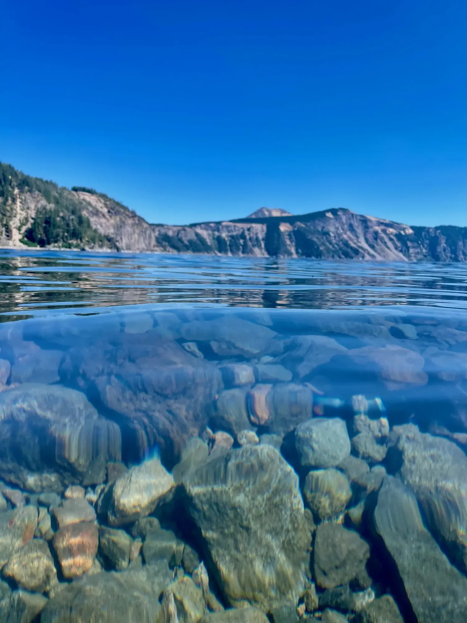
The water is a blue you don’t believe until you see it. Seeing the lake for the first time is a favorite memory of ours. It’s the deepest lake in the US, and it sits in a collapsed volcano.
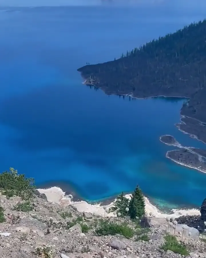
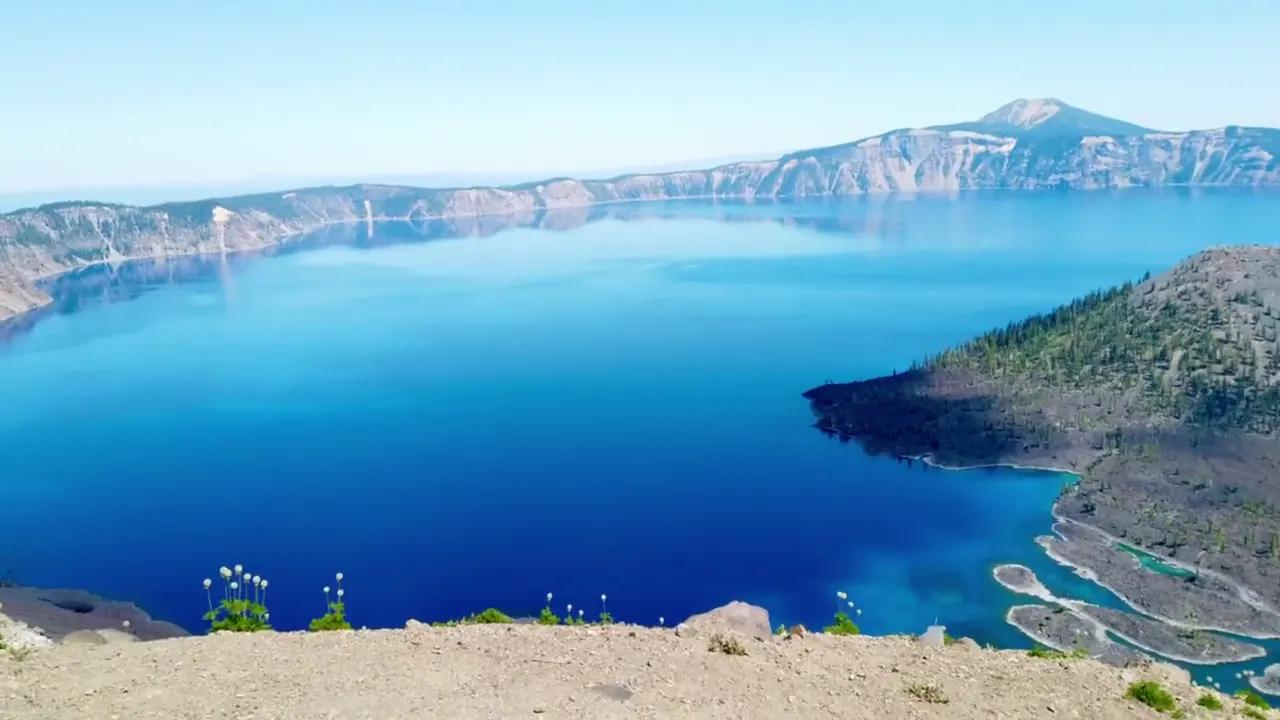
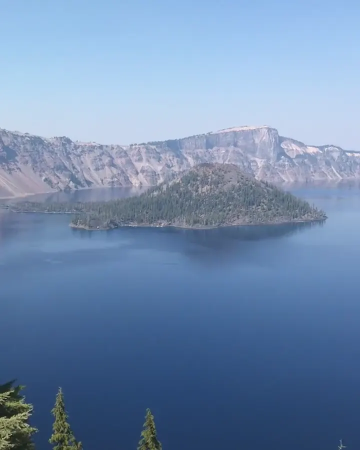
Cleetwood Cove Trail
Cleetwood Cove was the only trail down to the water, and we took a boat trip to Wizard Island from there. It’s closed through summer 2028, with no shore access, boat tours or swimming.
With Cleetwood Cove closed, plan your visit around seeing the lake from above. Rim Drive is usually only fully open from about July to October, so confirm that before you make the trip.
Looking back, we should have driven the entire Rim Drive and stopped at every overlook. Every angle of the lake looks different.
A hike up Garfield Peak or Mount Scott for the big views, then sunset from Watchman Peak, would fill it nicely.
September 2018: Right after Labor Day is a good time, with the summer crowds thinning and Rim Drive still open. It was hazy on that trip, and late-summer wildfire smoke can be common here, so the views aren’t always crystal clear.
Aug 11, 2022: Everything is open in August, and it’s when the most visitors come. We got clear blue skies and the lake at its deepest blue, which is what you hope for.
Beckie’s Cafe at Union Creek, on the way in from Medford, is known for its pies. Rogue Gorge and Natural Bridge are right there too.
Entry
No entry reservation required
You still need an entrance pass: $30 per vehicle, good for 7 days.
Fees and permitsBest time
August, September
About 41 ft of snow a year. Rim Drive fully open roughly mid-July to October. August-September best. Lake shore closed 2026-2028.
Month by monthCleetwood Cove Trail, the only way down to the lake, is closed for rehabilitation for the 2026, 2027 and 2028 seasons. There is no shore access, swimming or boat tour until it reopens. Last verified · nps.gov
Itineraries
1 dayOur pick
2 days
3 days
Compare the 1-, 2- and 3-day plans, day by day →
Map
2 visitor centers and 1 of the 4 campgrounds on a map you can zoom and drag. Map data loads from OpenStreetMap when you tap.
Visitor centerCampground Roads and trails are community-mapped; check closures with the park.
Locations from the NPS visitor-center listing, checked Nov 13, 2026. Hours and what each one has
Locations from Recreation.gov, checked Nov 7, 2026. Not on this map: Lost Creek, Union Creek & Farewell Bend and Diamond Lake area (no Recreation.gov location in our data). Compare all 4 campgrounds
Trails
0.5 mi
Spring-fed wildflower meadow near headquarters.
Loop · About 20 minutes
Start: Summer/fall 2026 construction access: take the 0.4-mile spur trail from park headquarters.
0.8 mi
Short climb to a Phantom Ship view.
Loop · About 30 minutes
Start: East Rim Drive, 4.4 miles east of park headquarters; affected by summer 2026 construction.
1.1 mi
Old-growth forest above a canyon of pinnacles. All-terrain wheelchairs with help. Pet-friendly.
Loop · About 30 minutes
Start: Munson Valley Road, 2.4 miles south of park headquarters.
1.6 mi
Fire lookout with 360° views; very crowded at sunset. On West Rim Drive.
Out and back · About 1 hour
Start: Watchman Overlook, 3.8 miles northwest of Rim Village on West Rim Drive.
2 mi
Rim walk west from Rim Village through wind-shaped old-growth forest.
Out and back · About 1 hour
Start: West end of Rim Village, where the pavement turns to dirt path; also reachable from Discovery Point.
2 mi
Snowmelt-fed waterfall. All-terrain-wheelchair accessible except the last 1/4 mi. Off Pinnacles Road.
Out and back · About 1 hour
Start: Pinnacles Road, 1.2 miles southeast of Phantom Ship Overlook.
2.2 mi
The only lakeshore access. Closed for reconstruction until 2029; no boat tours in 2026-2028.
Out and back · About 1.5 hours round trip
Start: Cleetwood Cove Trailhead on East Rim Drive, 4.6 miles from North Junction. Closed for the 2026–2028 seasons.
3.6 mi
From the east end of Rim Village, behind the Lodge. Switchbacks with lake views.
Out and back · About 2–3 hours
Start: East end of Rim Village; follow the paved promenade behind Crater Lake Lodge.
4.4 mi
The park’s highest peak (8,929 ft), and the only place in the park where you can see the whole lake. On East Rim Drive.
Out and back · About 3 hours
Start: East Rim Drive, 14 miles east of park headquarters.
9.8 mi
The longest maintained trail, with a steep summit finish. Starts at the PCT trailhead on Hwy 62.
Out and back · About 5–6 hours
Start: Pacific Crest Trailhead on Highway 62, one mile west of the Crater Lake road junction.
Distances, gains and difficulty as NPS publishes them; the bar shows the published distance, dashed where a longer option exists.
Camping
Fees, permits & rules
Last verified · nps.gov All Crater Lake fees, permits and booking deadlines →
The only legal route to the lakeshore is closed for a three-summer rebuild of the trail and marina that started in 2026; NPS lists it as closed until 2029. No swimming or lake access, and no public boat tours (including Wizard Island) in the summers of 2026, 2027 and 2028.
Last verified · Cleetwood Cove project (NPS)The 16-site tent campground on Pinnacles Road was closed all of 2026. 2027 status not announced yet (NPS, checked Nov 2026).
Last verified · Current conditions (NPS)As of Oct 28, 2026, the North Entrance Road, most of Rim Drive, and Cloudcap and Pinnacles Roads are closed to cars until mid-June or early July, depending on snowpack. The West and South Entrances and Hwy 62 stay open.
Last verified · NPS alertReopened after a seismic and structural renovation. Open 9-5, then 10-4 daily from November 2.
Last verified · Visitor centers (NPS)Launching or flying drones anywhere in the park, on land or water, is prohibited.
Last verified · Basic info (NPS)Email me this guide Get a link to the Crater Lake guide in your inbox, to open again when you plan or before you go.
One email with the link. We don’t add you to any list unless you tick the box.
Historical recreation visits · 2021–2025 · as of Nov 3, 2026. Visits count entries, not unique people, parking spaces or trail crowding.
Busiest by average count: Jul. Quietest: Jan. Each bar is that month’s average visits across 5 years; unusual years and reported zeros are included. Past visits can’t tell you the best time of day to arrive.
Every month’s visits and NOAA weather, with the counts for each year →
NPS Visitor Use Statistics: monthly report · NPS monthly data · checked Nov 3, 2026; latest included year 2025.
Plan your visit
For any park: passes and free entrance days · what to pack · visiting with kids · stargazing
Getting there and park logistics →
Find a place to stay near Crater Lake → See camping and backup options for this park.
How this page is made. The section “What we’d tell a friend” is ours. Our recorded visits to Crater Lake include September 2018 and August 2022.Planning information, including any fees, permits, closures, weather and crowd figures shown here, is compiled from the National Park Service, Recreation.gov and other public sources, and each fact shows the date we last checked it. If something is wrong, tell us and we’ll log the fix on our corrections page.