Our favorite hike
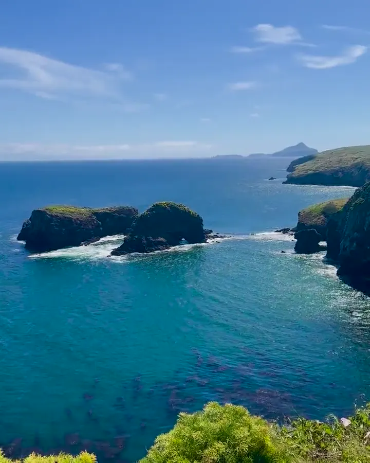
Potato Harbor
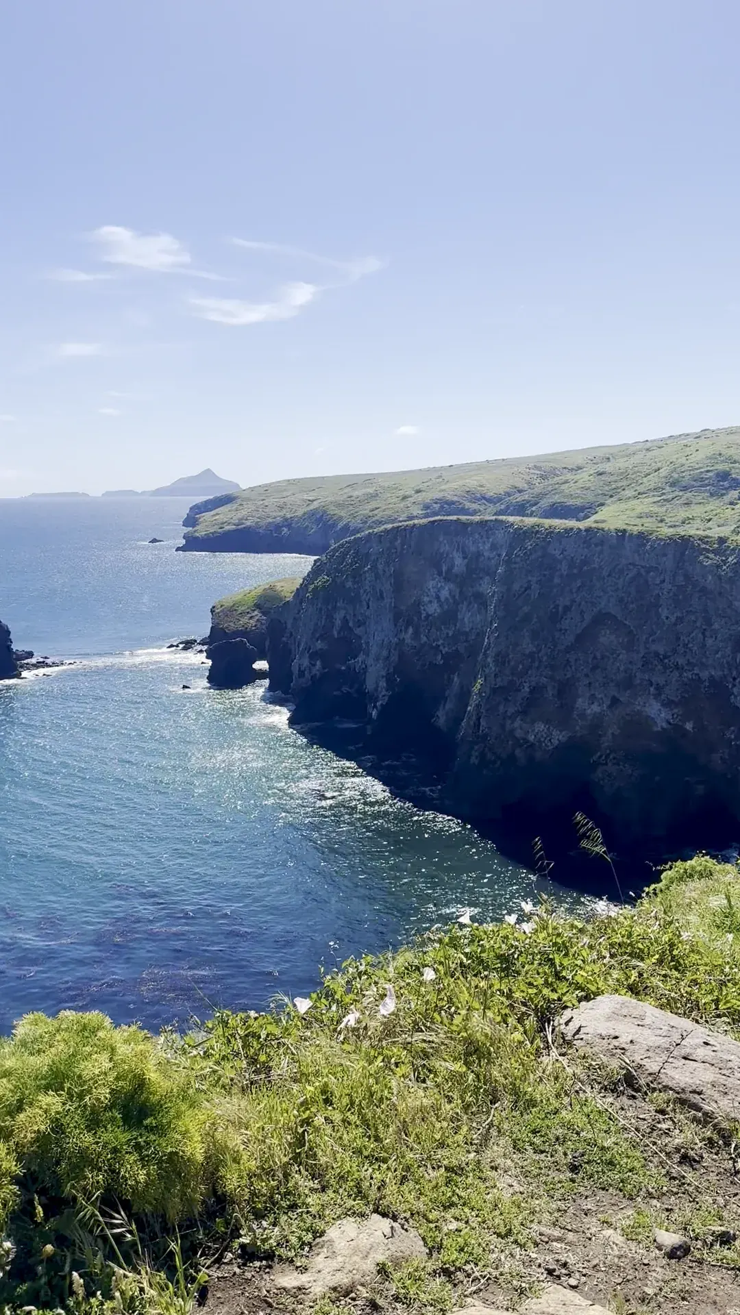
From Scorpion it’s an easy walk along the cliffs to an overlook above a deep, potato-shaped cove with clear blue water. This was a highlight of the trip for us.

California
Five islands off the Southern California coast, reachable only by boat or plane, with no stores, restaurants or lodging.
By David & Keri New, who have visited 63 of the 64 U.S. national parksUpdated
57Park 57 of our 63Visited Apr 2024
Saves this park and its trail guides on this device. Alerts and conditions are as of when you save; live maps and bookings need a connection.
NPS alertsAs of 6:03 AM ET, Nov 20
Pick the island that suits your hiking, wildlife or camping plans. Check the landing and return schedule before booking, especially if you’re staying overnight.
Compare island access and landings NPS island transportationFares change. The operator's page is the price you will pay.
Check your mainland harbor and the time ashore on your specific day trip.
NPS information for Island PackersCompare sailings and return options before choosing an overnight stay. Check permit requirements for San Miguel.
NPS information for Island PackersConfirm official landing and dock conditions before planning any visit.
NPS information for Santa Barbara IslandFor a first visit, choose one island. Compare a full day on Santa Cruz with overnight camping at Scorpion Canyon if both legs and the campsite line up.
National Park Service guidanceNPS camping rules and reservations
With only a few hours, stay on the mainland. The Robert J. Lagomarsino Visitor Center at Ventura Harbor is open 8:30 a.m. to 5 p.m. daily, except Thanksgiving and December 25. It has island exhibits and, when available, a 25-minute park film.
Book a guided sea kayak or snorkel tour at Scorpion Anchorage with Channel Islands Adventure Company, the park's authorized outfitter there. There are no kayak rentals on the island. Pick a tour that ends well before your return boat.
If the landing trip is full or canceled, check the Ventura Harbor visitor center and ask the operator whether non-landing wildlife cruises are running.
Ventura or Oxnard
Sleep near the harbor your boat uses. Book the island campsite separately if staying overnight.
Match the boat return to your campsite dates before paying for either. Check the departure harbor on your confirmation.
The islands are reached only by boat. Island Packers, the park concessioner, sails year-round from Ventura Harbor and Channel Islands Harbor. There is no transportation on the islands, and bicycles are not allowed. Amtrak stops in Ventura and Oxnard.
Our visit
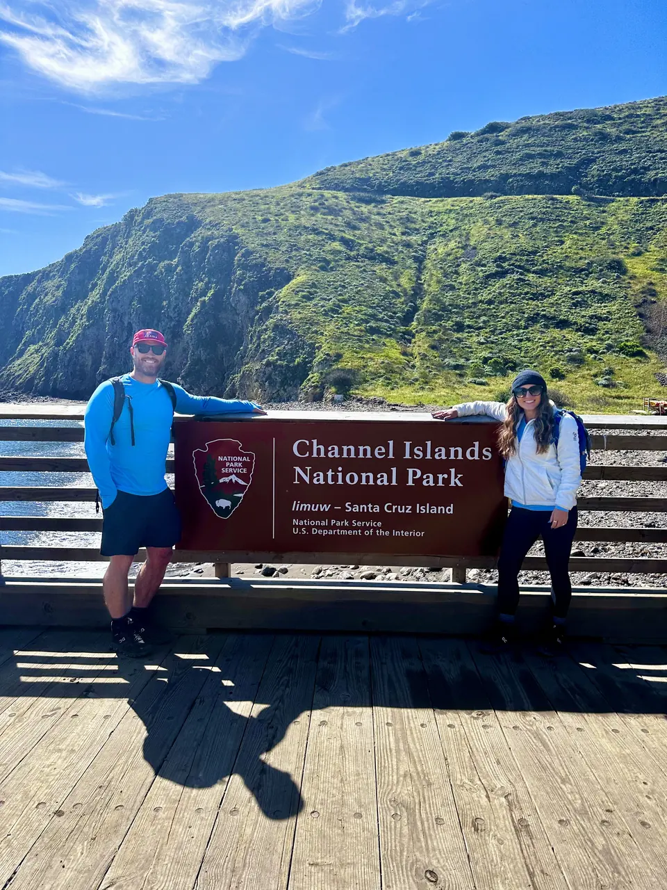
April 2024
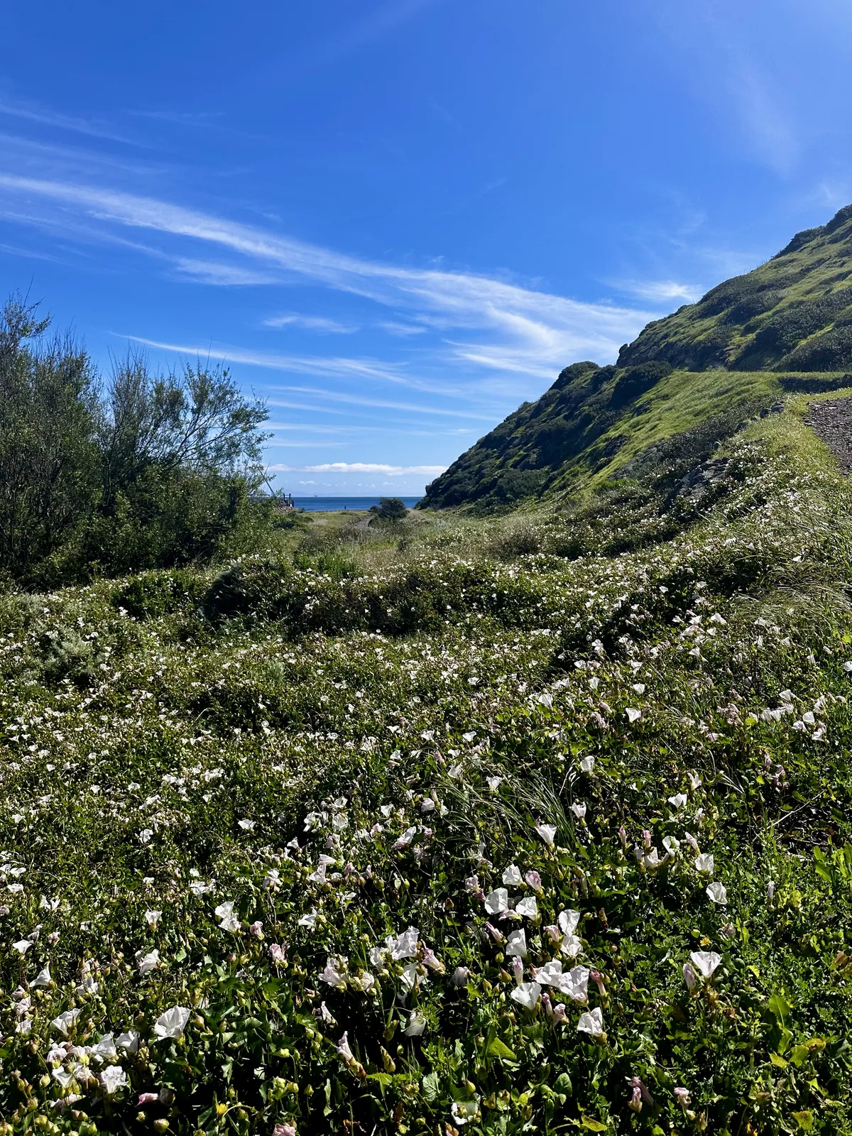
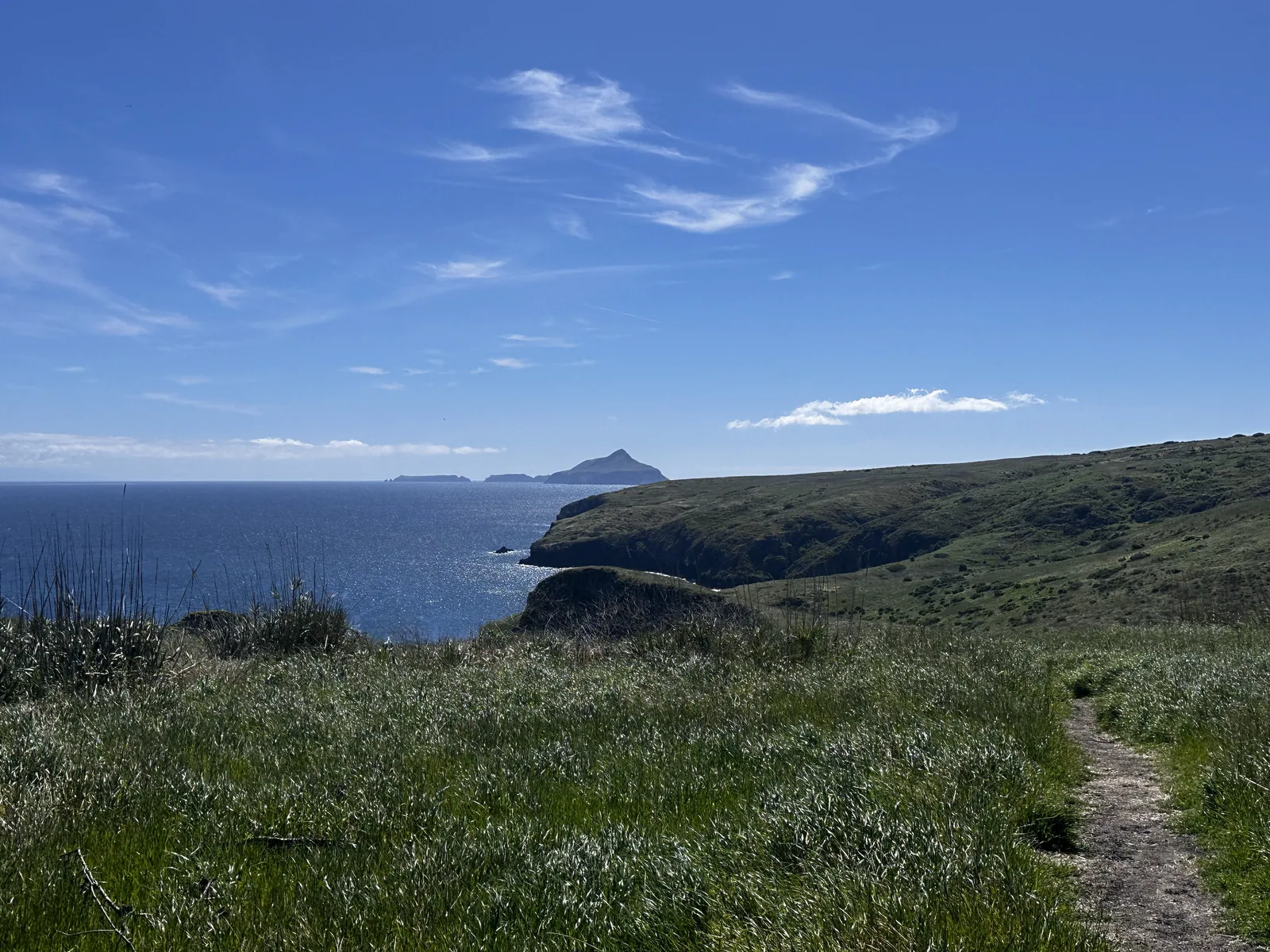
Why it’s on our list
Channel Islands offers a beautiful escape from mainland California, with rugged coastal cliffs, pristine beaches, unique wildlife, and incredible opportunities for kayaking and snorkeling. The isolation of the islands gives the park a peaceful, undeveloped atmosphere that’s increasingly difficult to find. However, reaching the islands requires additional planning, and the limited facilities and transportation options can make exploring more complicated.
Our favorite moment
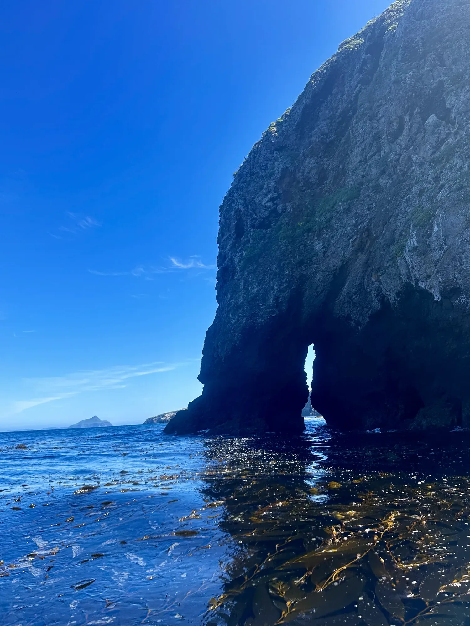
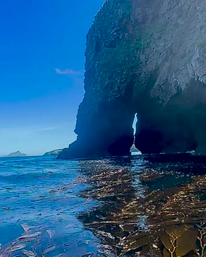
Kayaking through sea caves around Santa Cruz Island, spotting the tiny island foxes, and hiking to Potato Harbor.
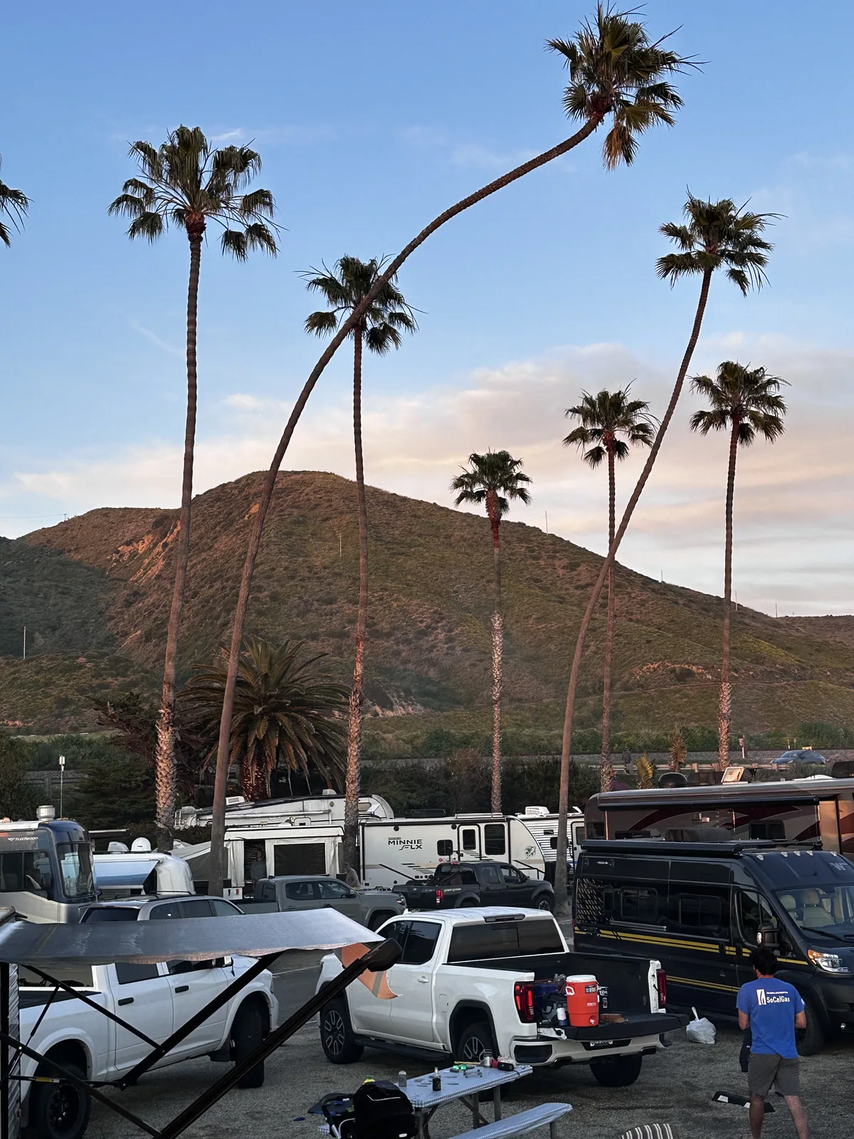
Photos by David & Keri New.
Firsthand · David & Keri New
Channel Islands is the California coast the way it used to be, with sea cliffs, sea caves and tiny island foxes that live nowhere else. We kayaked through sea caves around Santa Cruz Island and hiked to Potato Harbor. You need a boat to get there, and that keeps it quiet.
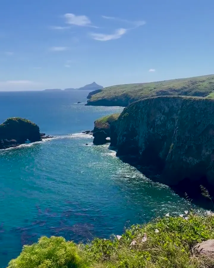
Potato Harbor
From Scorpion it’s an easy walk along the cliffs to an overlook above a deep, potato-shaped cove with clear blue water. This was a highlight of the trip for us.
Book the Island Packers boat from Ventura early. If you plan to kayak the sea caves in spring, keep your schedule flexible, because the winds can be strong.
A few hours on the island wasn’t enough. We’d stay overnight at the Scorpion Canyon campground.
We’d take the boat to Anacapa Island for the hike to Inspiration Point and the lighthouse.
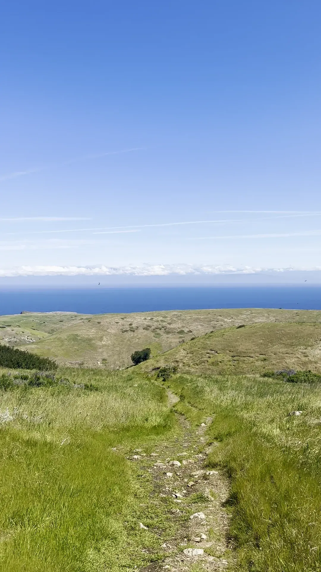
April gave us green hills covered in wildflowers and blue skies. Spring can be windy out on the water, though.
The boats leave from Ventura Harbor, and Andria’s Seafood there has been serving fish and chips for a long time. Santa Barbara is a short drive up the coast.
Day trip
Only a few hours on the island, and no overnight.
Best time
September, October
February-April: green islands, wildflowers, gray whales. September-October: calmest seas, clearest water. December-January: storms cancel boats. July busiest.
Month by monthItineraries
1 dayOur pick
2 days
Channel Islands itinerary: every day stop by stop, with sources
Compare the 1- and 2-day plans, day by day →
Map
7 visitor centers and 8 of the 10 campgrounds on a map you can zoom and drag. Map data loads from OpenStreetMap when you tap.
Visitor centerCampground Roads and trails are community-mapped; check closures with the park.
Locations from the NPS visitor-center listing, checked Nov 13, 2026. Hours and what each one has
Locations from Recreation.gov, checked Nov 7, 2026. Not on this map: Scorpion Canyon and Water Canyon (no Recreation.gov location in our data). Compare all 10 campgrounds
Official NPS maps for Channel Islands (opens in a new tab) ↗
Trails
0.5–0.6 mi
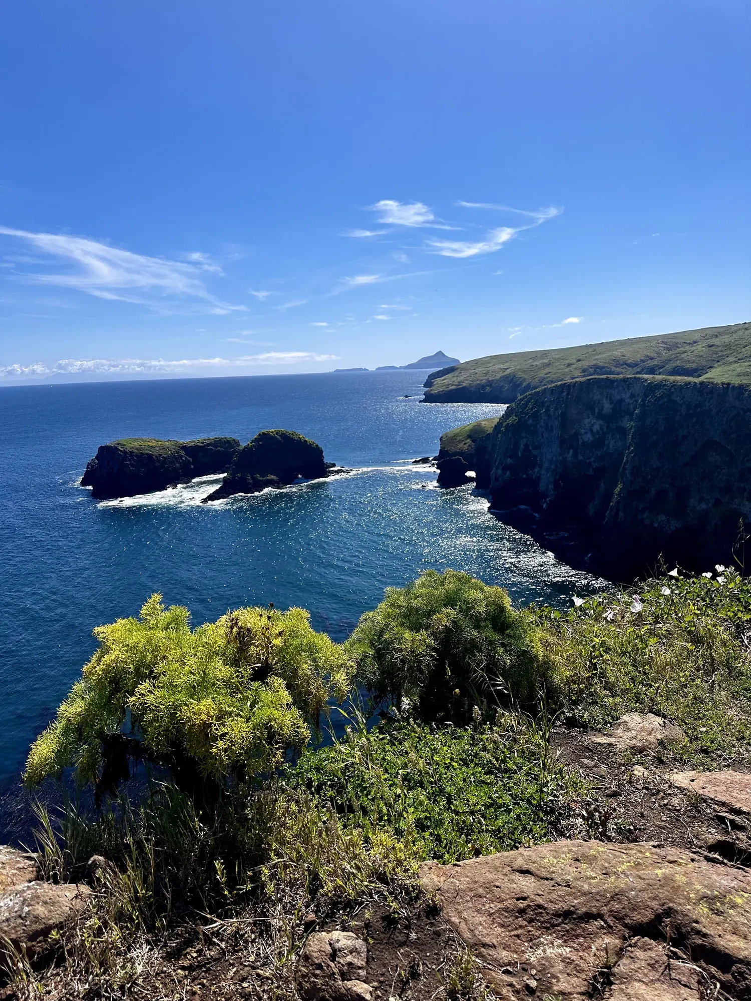
The historic lighthouse was built in 1932. Cathedral Cove overlooks rock formations.
Trail network
Start: East Anacapa visitor center; climb the stairway from Landing Cove.
1.5 mi
Anacapa’s signature view. The trail system is about 2 miles total, flat except for the staircase from the landing.
Trail network
Start: East Anacapa visitor center; climb the stairway from Landing Cove.
2 mi
NPS calls it ‘Not to be missed’ for its coastal views and seasonal whale watching. Hike clockwise from the campground (near site 22) to avoid a steep climb.
Loop
Start: Scorpion campground near site 22; follow the loop clockwise.
3 mi
Climb 1 mile up the Navy Road, then 0.25 mile on the Del Norte Trail to a view of the northeast coast.
Out and back
Start: Prisoners Harbor; follow Navy Road to the Del Norte Trail junction, then the overlook trail.
4.5 mi
A loop into the interior, where you may see the island scrub-jay. Hike clockwise via Smugglers Road to avoid a steep climb.
Loop
Start: Scorpion Beach; start clockwise on Smugglers Road.
5 mi
Coastal views along the North Bluff Trail. No beach access.
Out and back
Start: Scorpion Beach; reach Potato Harbor via Cavern Point and the North Bluff Trail.
7.5 mi
Follows Smugglers Road to the beach. Carry water; there’s none at Smugglers.
Out and back
Start: Scorpion Beach; follow Smugglers Road to the cove.
10 mi
Unmaintained; for experienced hikers only. Carry a topographic map.
Loop
Start: Access via Smugglers Road or the North Bluff Trail near Potato Harbor.
Distances, gains and difficulty as NPS publishes them; the bar shows the published distance, dashed where a longer option exists.
Camping
Fees, permits & rules
Last verified · nps.gov All Channel Islands fees, permits and booking deadlines →
In 2026, a wildfire burned nearly 40% of Santa Rosa Island May 15–June 4. Overnight use resumed Oct 14 at Water Canyon Campground and Northwest and Southwest Quadrant beach sites. Southeast Quadrant beach camping remains closed for the rest of 2026; burned areas and adjacent shorelines remain closed. The Oct 14 fire-recovery update takes precedence over the general beach-camping calendar. 2027 beach-camping dates and burned-area reopening plans are not announced yet (NPS, checked Nov 1, 2026).
Last verified · Santa Rosa Island Fire Recovery (NPS)As of Nov 1, 2026, Santa Barbara Island is open, but its storm-damaged dock remains closed. Landings are restricted to the adjacent rocky ledge. NPS says repairs are not expected in the near future; no repair date is published.
Last verified · NPS current alerts (checked Nov 1, 2026)Don’t bring pets, firewood or untreated wood (including hiking sticks), single-use plastic grocery bags, or soil-covered gear to the islands. Service animals need a permit from the superintendent.
Last verified · Current Conditions (NPS)Skunk Point to East Point back beaches and dunes close March 1-Sept 15 for snowy plover nesting. The Sandy Point coastline is closed year-round for seal rookeries.
Last verified · Current Conditions (NPS)Email me this guide Get a link to the Channel Islands guide in your inbox, to open again when you plan or before you go.
One email with the link. We don’t add you to any list unless you tick the box.
Historical recreation visits · 2021–2025 · as of Nov 3, 2026. Visits count entries, not unique people, parking spaces or trail crowding.
Busiest by average count: Jul. Quietest: Jan. Each bar is that month’s average visits across 5 years; unusual years and reported zeros are included. Past visits can’t tell you the best time of day to arrive.
Every month’s visits and NOAA weather, with the counts for each year →
NPS Visitor Use Statistics: monthly report · NPS monthly data · checked Nov 3, 2026; latest included year 2025.
Plan your visit
For any park: passes and free entrance days · what to pack · visiting with kids · stargazing
Getting there and park logistics →
Find a place to stay near Channel Islands → See camping and backup options for this park.
How this page is made. The section “What we’d tell a friend” is ours. Our recorded visits to Channel Islands include April 2024.Planning information, including any fees, permits, closures, weather and crowd figures shown here, is compiled from the National Park Service, Recreation.gov and other public sources, and each fact shows the date we last checked it. If something is wrong, tell us and we’ll log the fix on our corrections page.