Our favorite hike
Hickman Bridge
A short climb gets you to a massive natural bridge, with views over the Fremont River canyon on the way up. For a quick hike, it’s the best in the park.

Utah
The Waterpocket Fold, an 87-mile wrinkle in the earth’s crust, with white Navajo Sandstone domes, slot canyons and the historic Fruita orchards, where you can pick fruit in season. It’s quieter than Utah’s other parks, with no timed entry, no lodge and no gas inside the park.
By David & Keri New, who have visited 63 of the 64 U.S. national parksUpdated
28Park 28 of our 63Visited Sep 2021
Saves this park and its trail guides on this device. Alerts and conditions are as of when you save; live maps and bookings need a connection.
NPS alertsAs of 6:03 AM ET, Nov 20
1 day is our starting point.
Start at Hickman Bridge and historic Fruita. On day two choose Cassidy Arch or a gentler Grand Wash walk when access and weather allow. Keep Cathedral Valley as a separate, conditional third day.
Open the 3-day itineraryNational Park Service guidanceNPS park conditions
Start at the visitor center, then drive the paved 7.9-mile Scenic Drive. NPS allows about an hour and a half round trip including the Grand Wash and Capitol Gorge dirt spurs. Capitol Gorge Road was closed when we checked.
Hike the Cohab Canyon Trail, a moderate 1.7 miles one way with 440 feet of climbing, for side canyons and views over Fruita. NPS notes many trailhead lots fill by 9 am, so start early or late.
If the backcountry drive is unsuitable, stay in Fruita. Start at the visitor center and orchards, then use the paved Scenic Drive if open. Leave dirt spurs and wash hikes out when their conditions are unsuitable.
National Park Service guidanceNPS park conditionsCurrent park conditions
Torrey for Fruita or Fruita Campground inside the park
Torrey is west of the visitor center and works for the first two days. If camping, check Fruita Campground separately. Compare Hanksville if arriving from the east or continuing that way.
Reserve Fruita Campground if camping in the park. Check Cathedral Valley road segments, the river ford and your vehicle restrictions before committing a day to the backcountry. Check flash-flood guidance before entering a wash.
NPS park conditionsNational Park Service guidanceLodging and gateway towns
Utah Highway 24 crosses the park, with the visitor center beside it at the center of the park. From Bryce Canyon, Utah 12 takes about three hours and crosses a 9,600-foot summit that can be hazardous in winter. Ignore GPS routes onto South Draw Road.
Our visit
September 2021
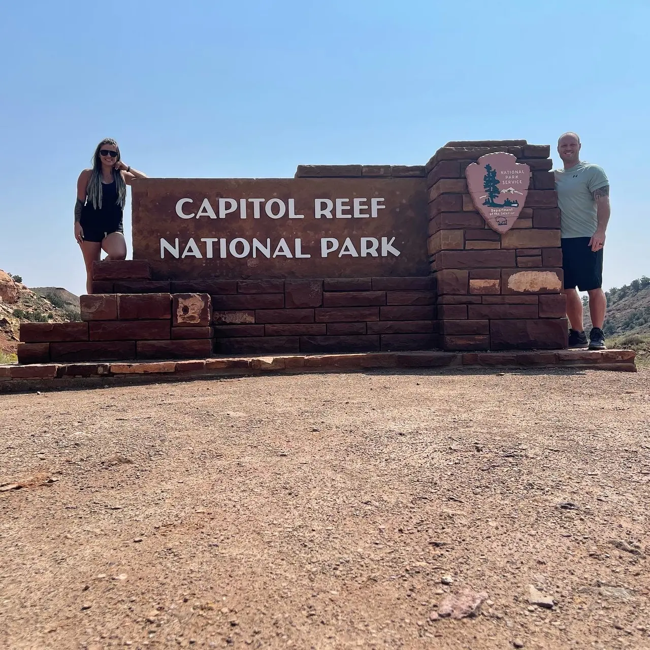
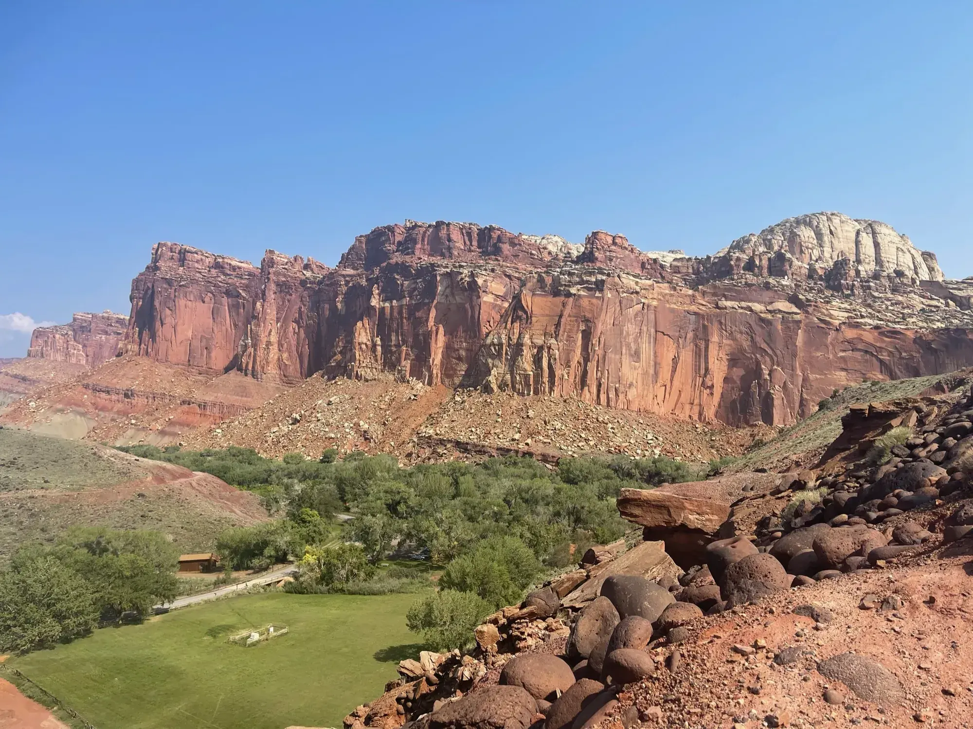
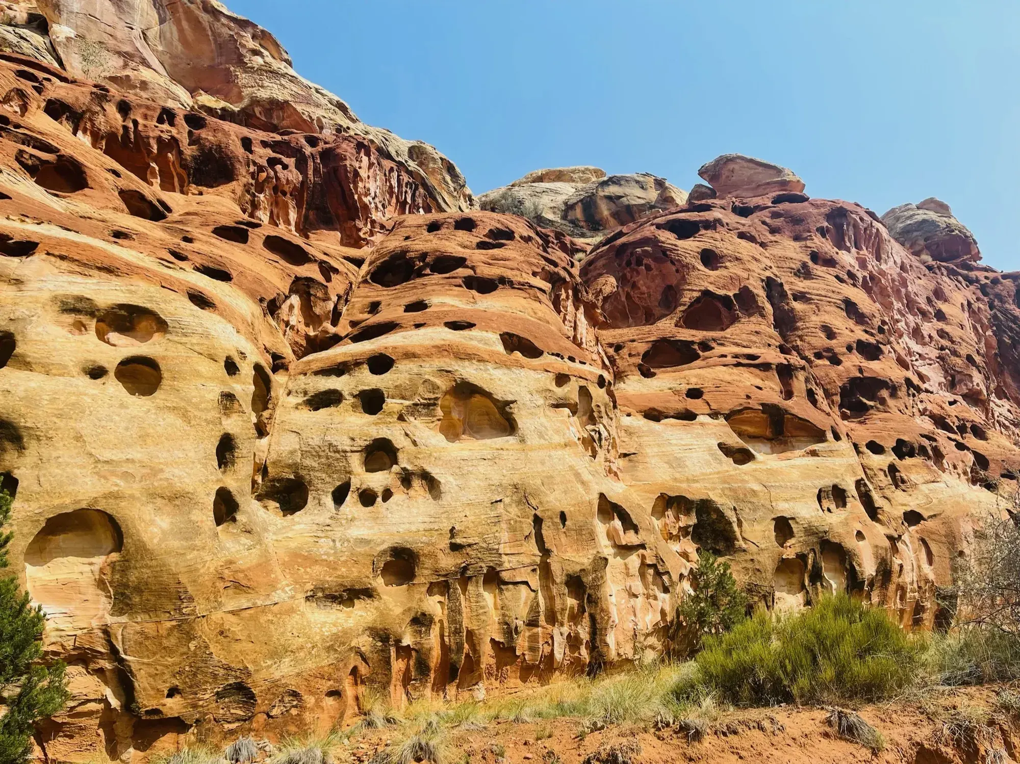
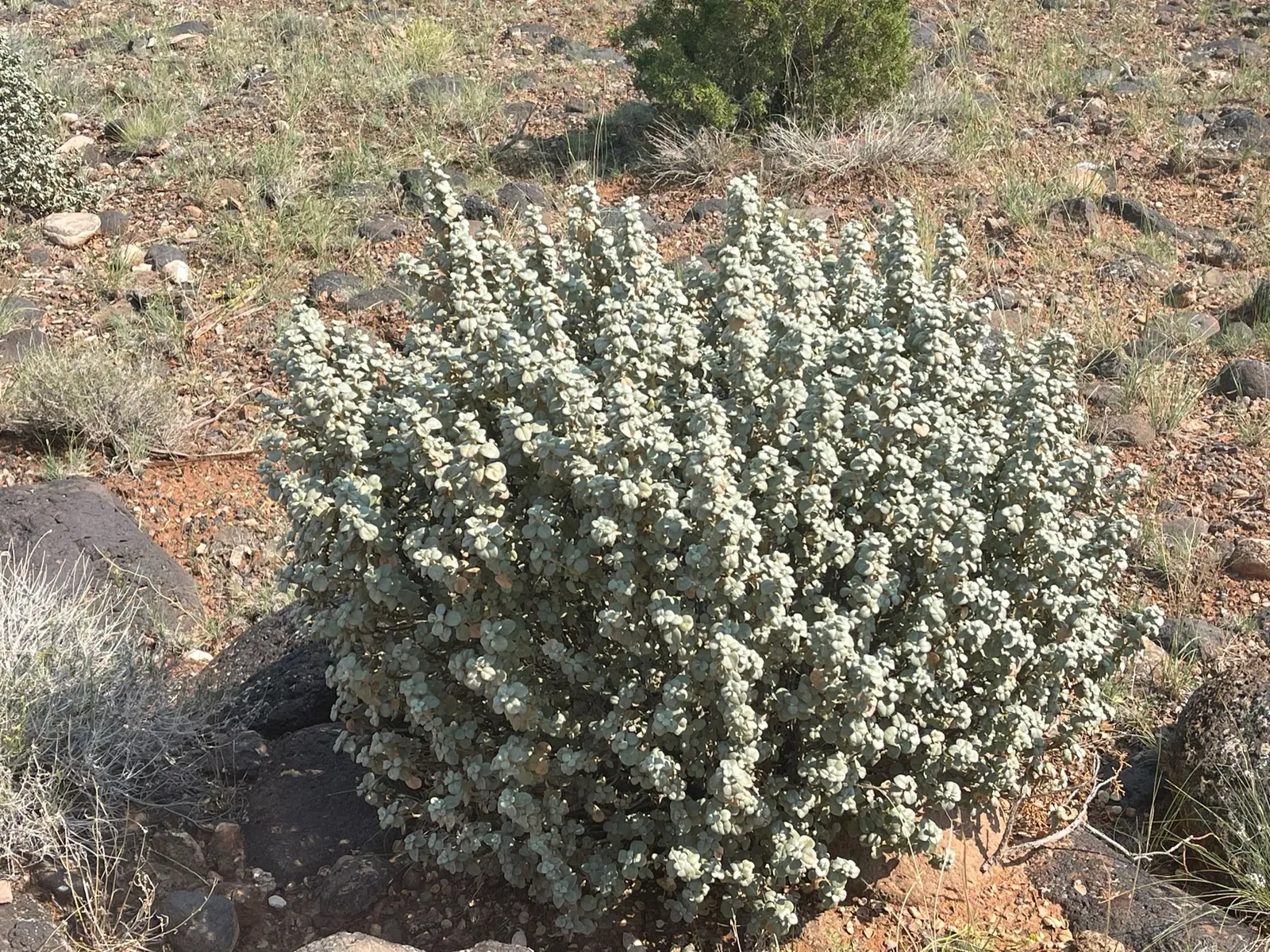
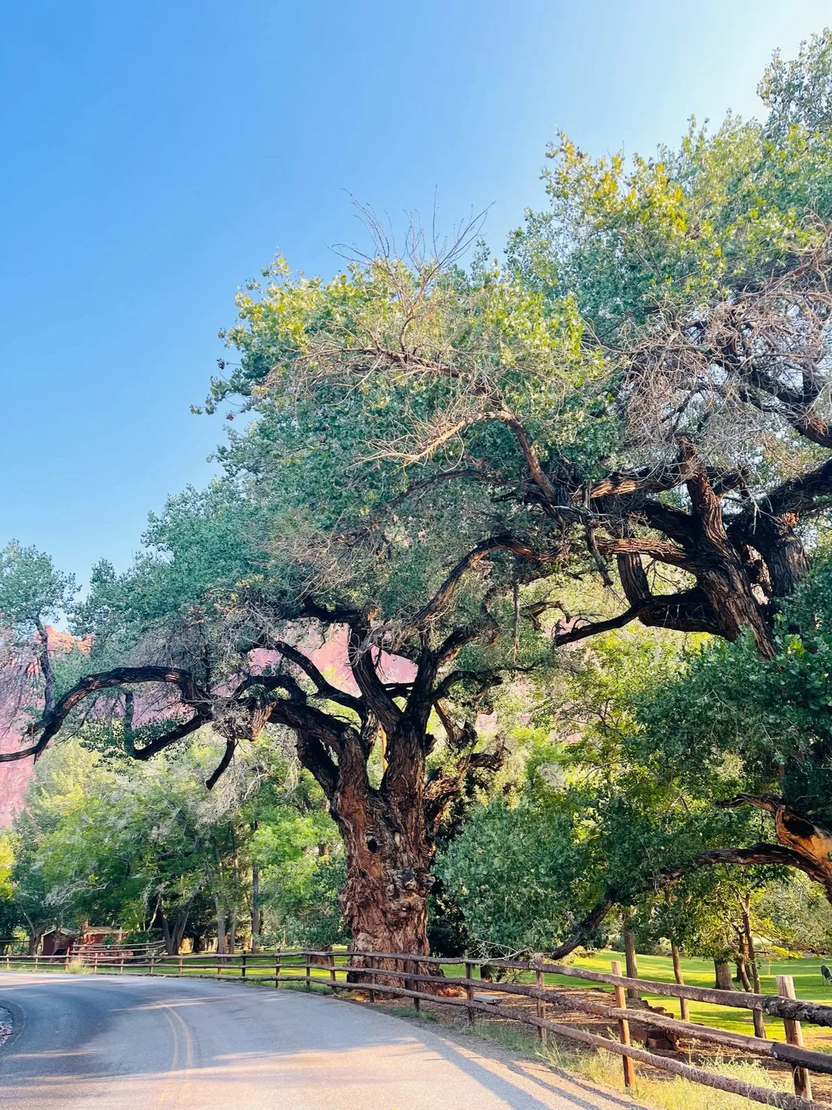
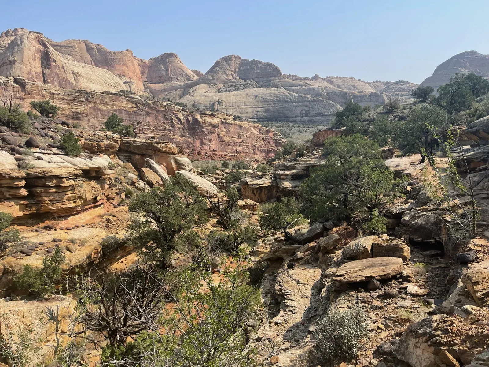
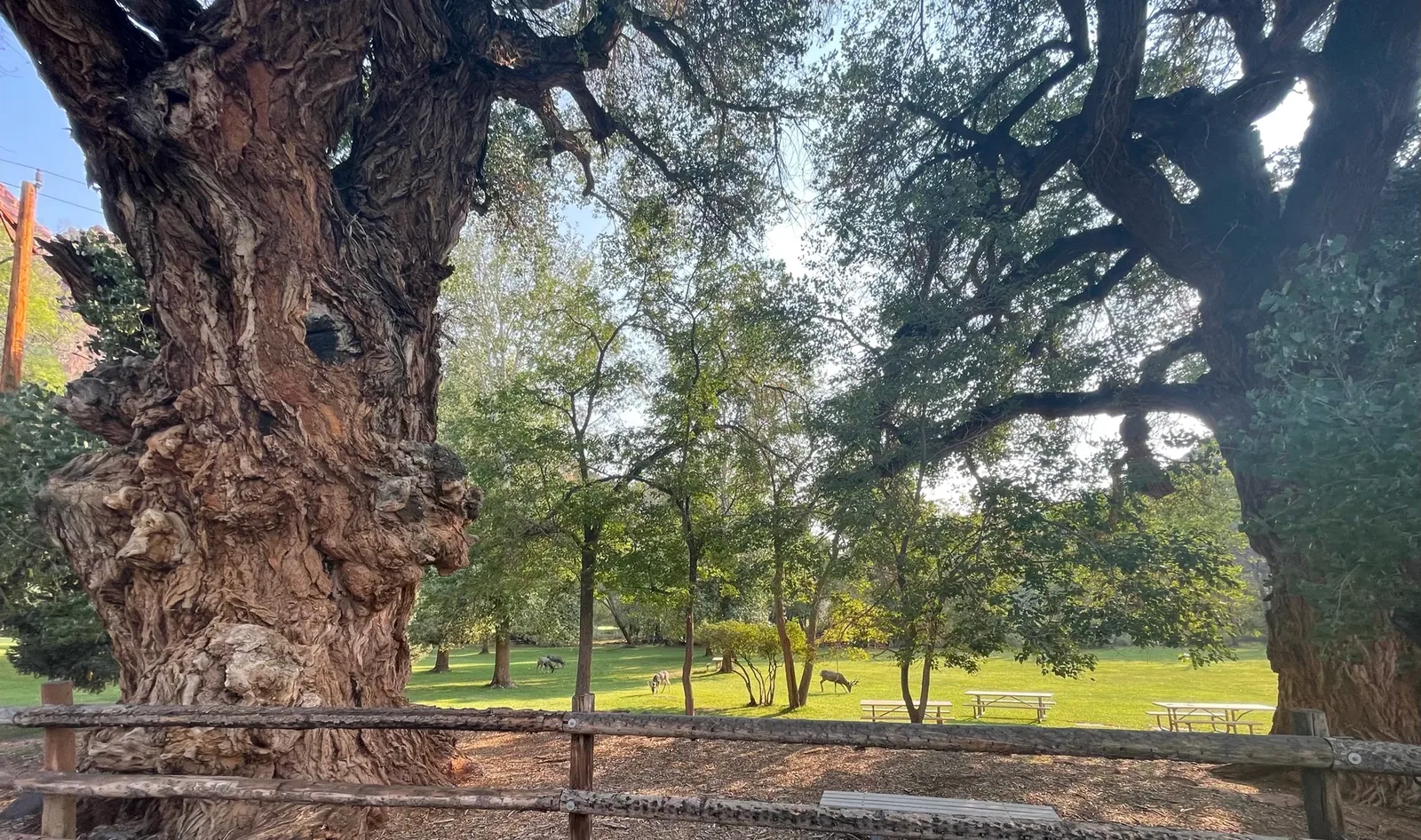
Why it’s on our list
Capitol Reef is one of Utah’s most overlooked national parks, featuring beautiful red-rock cliffs, colorful canyons, and fascinating geological formations. The historic Fruita area gives the park a unique personality, and the relatively small crowds make exploring enjoyable. While it may lack the instantly recognizable landmarks of Zion or Arches, there’s plenty of natural beauty to appreciate.
Our favorite moment
Hiking to Hickman Bridge, exploring Grand Wash, and enjoying pie at the Gifford Homestead.
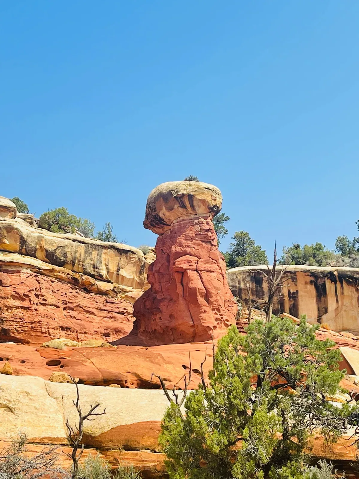
Photos by David & Keri New.
Firsthand · David & Keri New
Capitol Reef is the quiet one in Utah. It’s a hundred-mile wrinkle of red and white cliffs called the Waterpocket Fold, with old orchards in the green Fruita valley. We hiked to Hickman Bridge and through Grand Wash, then walked the Fremont River Trail along the orchards.
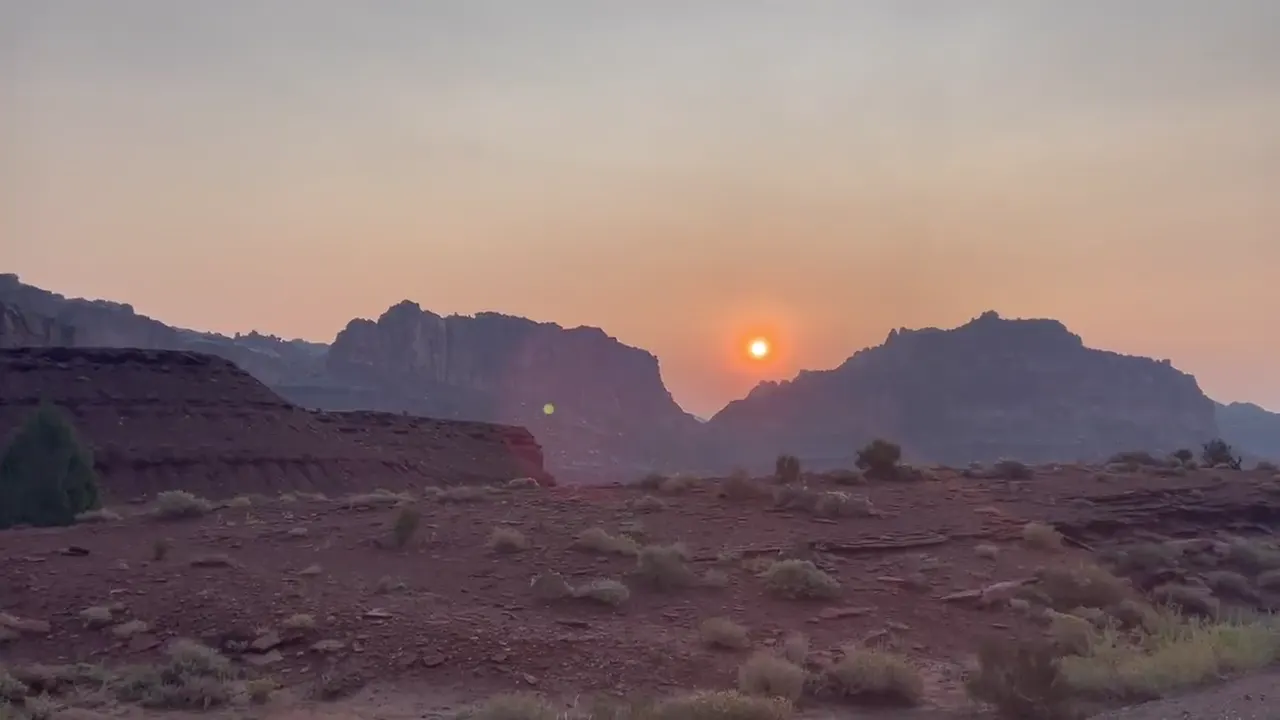
Hickman Bridge
A short climb gets you to a massive natural bridge, with views over the Fremont River canyon on the way up. For a quick hike, it’s the best in the park.
Stop at the Gifford Homestead in Fruita for a fresh pie, and go early, because they can sell out. Then take the Scenic Drive out to Grand Wash or Capitol Gorge.
We didn’t plan a day for Cathedral Valley, the remote north end of the park. We’d bring a high-clearance vehicle and drive the loop to see the Temples of the Sun and Moon.
Cassidy Arch is the hike we’d add.
Early September was warm, but the peak summer heat had passed, and it was quieter than the bigger Utah parks. The sky was clear, just a little hazy.
Torrey is the gateway town, and Slacker’s Burger Joint is a local favorite there. Scenic Byway 12 to Boulder is among the best drives in Utah, and Hell’s Backbone Grill is waiting at the end.
Fruita Campground
David 8/10Keri 9/10
The campground was really cool. It was right beside an apple orchard, and there were deer and other wildlife all over the place.
Best time
April, October
April and October are best: mild weather, orchard blossoms or apples. May busiest. July-August hot with flash floods. Winter cold and quiet.
Month by monthGifford House is open daily from mid-March through late November. Last verified · nps.gov
You can sample ripe fruit in any unlocked orchard, but take fruit home only from posted U-pick orchards, and pay at the self-pay station. Last verified · nps.gov
Our pick for a first hike is Hickman Bridge: 1.8 miles round trip with 400 feet of gain, to a 133-foot natural bridge. Cassidy Arch, 3.4 miles round trip with 670 feet of gain, is the steeper option. Last verified · nps.gov
Itineraries
1 dayOur pick
2 days
Optional day 3 · Cathedral Valley
Capitol Reef itinerary: every day stop by stop, with sources
Compare the 1- and 2-day plans, day by day →
Map
1 visitor center and 2 of the 4 campgrounds on a map you can zoom and drag. Map data loads from OpenStreetMap when you tap.
Visitor centerCampground Roads and trails are community-mapped; check closures with the park.
Locations from the NPS visitor-center listing, checked Nov 13, 2026. Hours and what each one has
Locations from Recreation.gov, checked Nov 7, 2026. Not on this map: Cedar Mesa and Cathedral Valley (no Recreation.gov location in our data). Compare all 4 campgrounds
Trails
0.4 mi
Short walks to canyon views. Sunset Point is good at sunset.
Trail network · About 15 minutes (estimated)
Start: Goosenecks parking area at the end of the dirt road past Panorama Point.
0.9 mi
A 133-ft natural bridge. Off Highway 24.
Lollipop loop · About 45 minutes (estimated)
Start: Hickman Bridge trailhead on Highway 24.
1 mi
Deep canyon, historic inscriptions and a short climb to the Tanks. Check the road report under park rules before travel.
Out and back · About 45 minutes (estimated)
Start: Capitol Gorge trailhead at the end of Capitol Gorge Road.
1 mi
Easy riverside start, then a steep climb. Leashed pets are OK on the river section to Hattie’s Field.
Out and back · About 1 hour (estimated)
Start: Fruita Campground amphitheater parking lot, off Scenic Drive.
1.7 mi
Deep canyon and slickrock to an arch named for Butch Cassidy. Starts at the Grand Wash trailhead.
Out and back · About 1.5 hours (estimated)
Start: Grand Wash trailhead, reached by Grand Wash Road from Scenic Drive.
1.7 mi
Hidden canyons and views over Fruita.
One way (point to point) · About 45 minutes (estimated)
Start: Trailheads near Fruita Campground and on Highway 24.
2 mi
From the Capitol Gorge trailhead.
Out and back · About 1.75 hours (estimated)
Start: Capitol Gorge trailhead at the end of Capitol Gorge Road.
2.2 mi
Canyon narrows. Avoid it when storms threaten.
One way (point to point) · About 45 minutes (estimated)
Start: Grand Wash Road or Highway 24 trailheads.
2.3 mi
Views of Fruita and the Waterpocket Fold from atop the cliffs.
Out and back · About 2 hours (estimated)
Start: Hickman Bridge trailhead on Highway 24.
2.3 mi
Climbs to a mesa top on the gorge rim.
Out and back · About 2 hours (estimated)
Start: Near the blacksmith shed in Fruita.
3.6 mi
Waterpocket Fold views. Good at sunset.
Loop · About 1.5 hours (estimated)
Start: Chimney Rock trailhead on Highway 24, about 3 miles west of the visitor center.
4.7 mi
Continues past Rim Overlook to a 360° summit view.
Out and back · About 4 hours (estimated)
Start: Hickman Bridge trailhead on Highway 24.
5.6 mi
From Cedar Mesa Campground, off the Notom-Bullfrog Road.
Out and back · About 3-4 hours
Start: Cedar Mesa Campground, off Notom-Bullfrog Road.
Distances, gains and difficulty as NPS publishes them; the bar shows the published distance, dashed where a longer option exists.
Camping
Fees, permits & rules
Last verified · nps.gov All Capitol Reef fees, permits and booking deadlines →
In the NPS Nov 1, 2026 report, Grand Wash, Capitol Gorge and Pleasant Creek roads were closed. South Draw was extremely rough and not recommended, with an impassable creek crossing. Notom-Bullfrog Road and the Cathedral Valley river ford were unknown, likely impassable. This is a dated snapshot: check the NPS conditions page and call 435-425-3791 (press 1, then 4) for the latest road report before driving.
Last verified · Alerts & conditions (NPS, Nov 1, 2026)The visitor center switches to winter hours (9 am-4:30 pm) on Nov 29, 2026, through Mar 6, 2027. It’s closed Thanksgiving (Nov 26), Christmas Eve, Christmas Day and New Year’s Day. The Gifford House (store, museum and pies) closes after Nov 22, 2026, and reopens Mar 14, 2027.
Last verified · Alerts & conditions (NPS)Free day-use permits are required for each canyoneering route. In 2026, seasonal closures ran Apr 1-Aug 31 and have ended: the heads of Burro and Fivemile washes continuing east two miles, Shinob Canyon and routes descending into it, and Arch Nemesis. 2027 seasonal closure dates not announced yet (NPS, checked Nov 1, 2026); check NPS alerts before a trip.
Last verified · Canyoneering (NPS)Book on Recreation.gov up to 6 months ahead. Sites are usually full mid-March through October, and cancellations can be rebooked the same day. No dispersed camping in the park, including at trailheads.
Last verified · Fruita Campground (NPS)Email me this guide Get a link to the Capitol Reef guide in your inbox, to open again when you plan or before you go.
One email with the link. We don’t add you to any list unless you tick the box.
Historical recreation visits · 2021–2025 · as of Nov 3, 2026. Visits count entries, not unique people, parking spaces or trail crowding.
Busiest by average count: May. Quietest: Jan. Each bar is that month’s average visits across 5 years; unusual years and reported zeros are included. Past visits can’t tell you the best time of day to arrive.
Every month’s visits and NOAA weather, with the counts for each year →
NPS Visitor Use Statistics: monthly report · NPS monthly data · checked Nov 3, 2026; latest included year 2025.
Plan your visit
For any park: passes and free entrance days · what to pack · visiting with kids · stargazing
Getting there and park logistics →
Find a place to stay near Capitol Reef → See camping and backup options for this park. Base town: Torrey, UT.
How this page is made. The section “What we’d tell a friend” is ours. Our recorded visits to Capitol Reef include September 2021.Planning information, including any fees, permits, closures, weather and crowd figures shown here, is compiled from the National Park Service, Recreation.gov and other public sources, and each fact shows the date we last checked it. If something is wrong, tell us and we’ll log the fix on our corrections page.