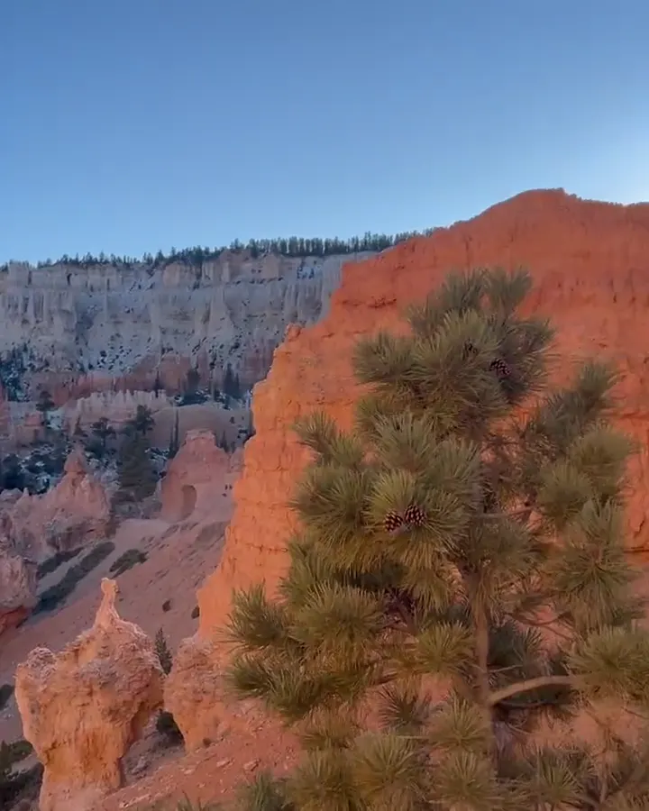
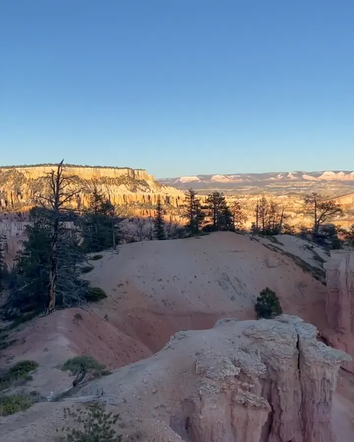
Sunlit orange hoodoos fill a vast amphitheater below a deep blue sky in Bryce Canyon National Park

Utah

Bryce Canyon National Park Guide

Southern Utah high-plateau park centered on the Bryce Amphitheater, with a free summer shuttle and a scenic drive south to Rainbow Point.

By David & Keri New, who have visited 63 of the 64 U.S. national parksUpdated

Park 11 of our 63Visited Nov 2020

Your trip planner

Add Bryce Canyon to a trip

Choose a saved trip or start a new draft for this park.

Saves this park and its trail guides on this device. Alerts and conditions are as of when you save; live maps and bookings need a connection.

Photo: David & Keri New

NPS alertsAs of 6:03 AM ET, Nov 20

Trail Closure Due to Recent Weather

  • Dump Station Closed for Season
Booking morning · Tuesday, December 1 · About 8 a.m. ET observed June 2027 dates open at North Campground. Get a free reminder →

Plan your first trip to Bryce Canyon

3 days is our starting point.

Use day one for the Bryce Amphitheater and the Queen’s Garden–Navajo combination when trail conditions allow. Add Rainbow Point, Bristlecone Loop and Natural Bridge on day two when the southern scenic road is open.

Open the 2-day itineraryQueen’s Garden and Navajo LoopBryce Canyon winter access

Starts a new draft and keeps your saved trips. Set a custom duration in the full planner.

How many days?

1 day
  1. Sunrise Point → Queen’s Garden/Navajo Combination Loop → Sunset Point → Inspiration Point → Bryce Point

For a 1- to 3-hour visit, NPS's winter advice is to stay in the Bryce Amphitheater along the first 3 miles of road. Hike Queen's Garden from Sunrise Point and back: 1.8 miles, 1 to 2 hours. Carry traction devices when trails are icy.

Bryce Canyon winter accessBryce Canyon day hikes

Open this day plan
3 days · our pick
  1. Sunrise Point → Queen’s Garden/Navajo Combination Loop → Sunset Point
  2. Southern Scenic Drive → Rainbow Point → Bristlecone Loop → Natural Bridge
  3. Tower Bridge → Inspiration Point → Bryce Point
Open this day plan
Compare all trip lengths
Optional add-on

Add Mossy Cave at the north end of the park, 4 miles east on Highway 12. The 0.8-mile walk takes about an hour. NPS advises against going between 10 AM and 6 PM because the small trail gets very crowded.

Bryce Canyon day hikesOpen the 5-day itinerary

If plans change

If only Wall Street is closed and the trail is suitable, climb out by Two Bridges. If ice makes the descent unsuitable, use the paved half-mile between Sunrise and Sunset Points when it is safe to walk. If the southern scenic drive closes, keep the day in the amphitheater once the main road reopens.

Bryce Canyon winter accessBryce Canyon day hikesQueen’s Garden and Navajo Loop

Check what’s open

Where to base yourself

Bryce Canyon City or Tropic

Choose Bryce Canyon City for a short drive to the amphitheater or access to the seasonal shuttle. Compare Tropic if you are continuing down Utah 12, and allow time for the drive back up to the rim in the morning.

Lodging and gateway townsBryce Canyon shuttle schedule

Compare stays and access

Before you book

Confirm the lodging or campground for your dates, particularly outside the main season. Check the shuttle schedule if relying on it and check the southern scenic road separately before committing to Rainbow Point.

Lodging and gateway townsBryce Canyon shuttle scheduleBryce Canyon winter access

Getting there and getting around

Reach the park on UT-63 from UT-12; the visitor center is 1 mile inside the boundary. There is no public transportation to the park. The free shuttle runs April to mid-October. In other months drive yourself, and expect the road past mile 3 to close after snowstorms.

NPS directionsBryce Canyon shuttle scheduleBryce Canyon winter access

Our visit

Park 11 of our 63

Where Bryce Canyon ranks in our 63

November 2020

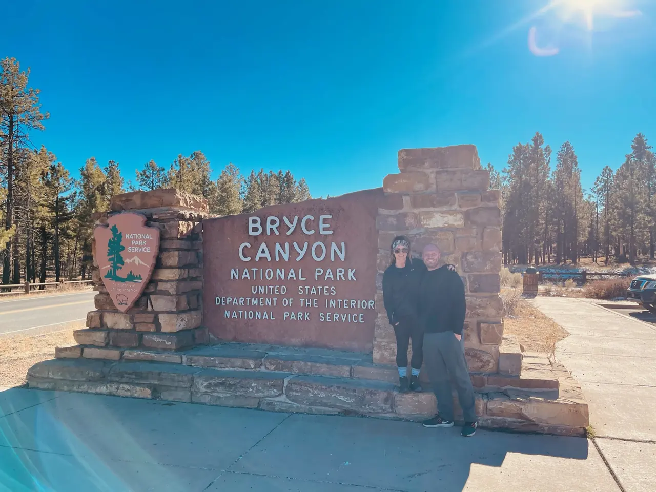
David and Keri at the Bryce Canyon entrance sign
We were hereNov 27, 2020
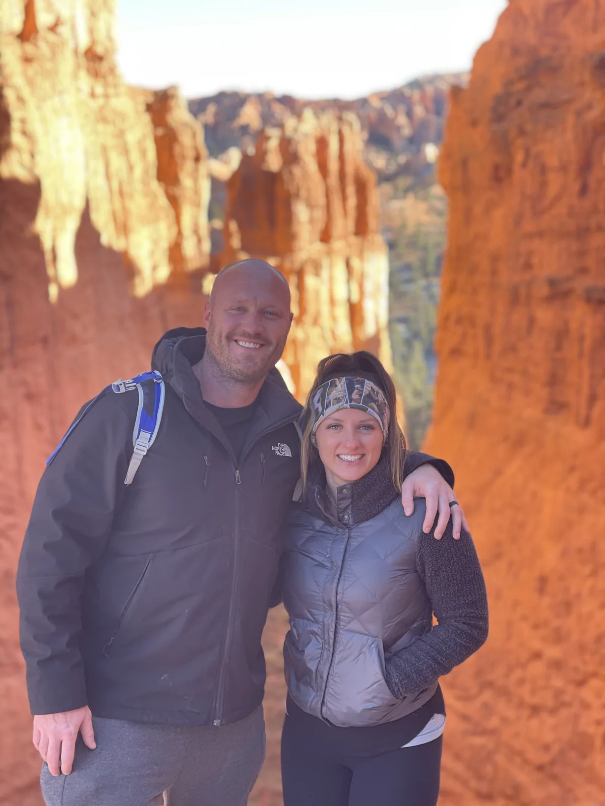
David and Keri in front of Wall Street on the Navajo Loop in Bryce Canyon National Park, Nov 27, 2020
Keri and me down in Wall Street on the Navajo Loop. · Nov 27, 2020
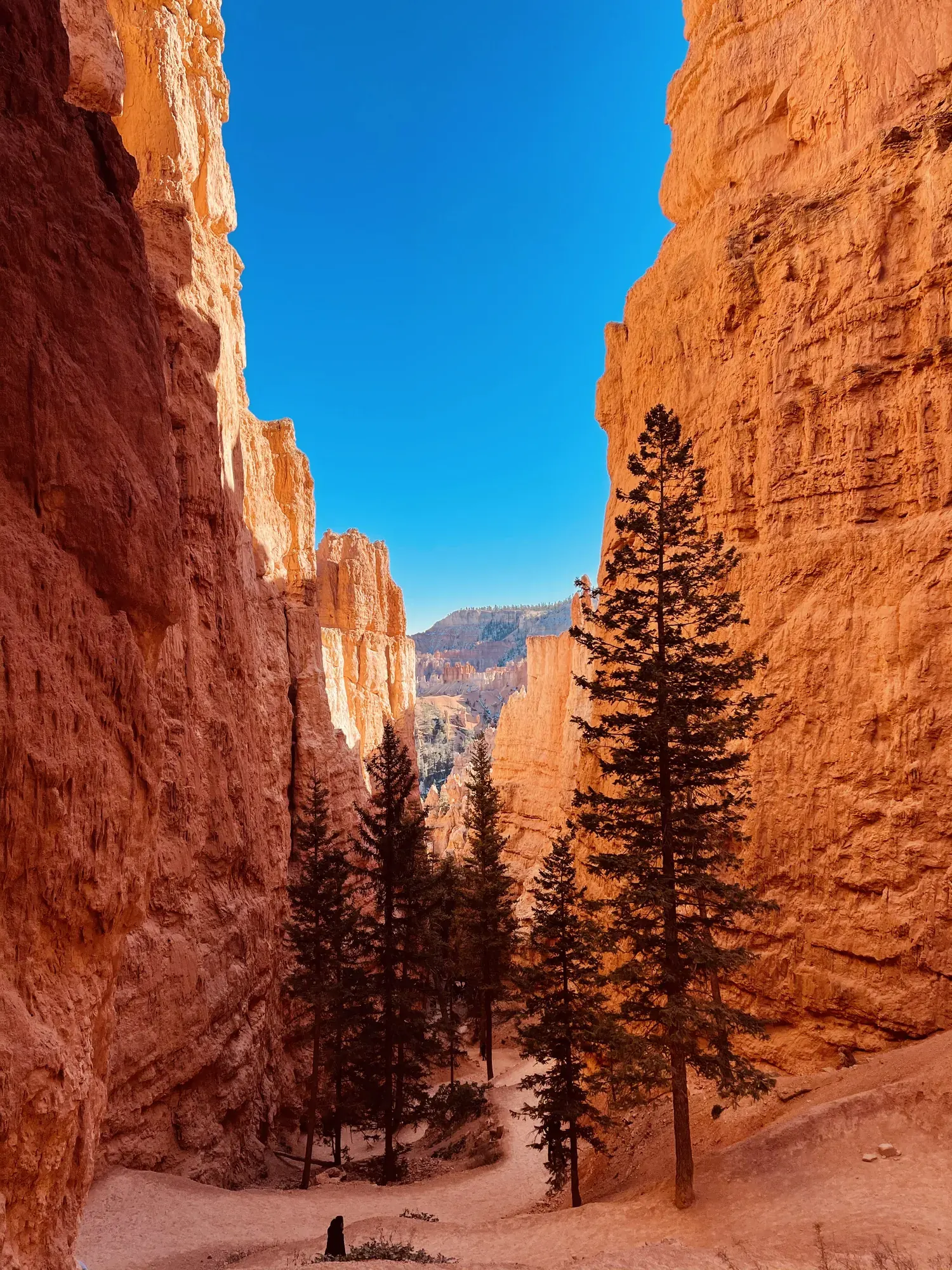
Wall Street on the Navajo Loop in Bryce Canyon National Park, Nov 27, 2020
Looking up between the walls of Wall Street. Those firs give you a feel for how tall the rock is. · Nov 27, 2020
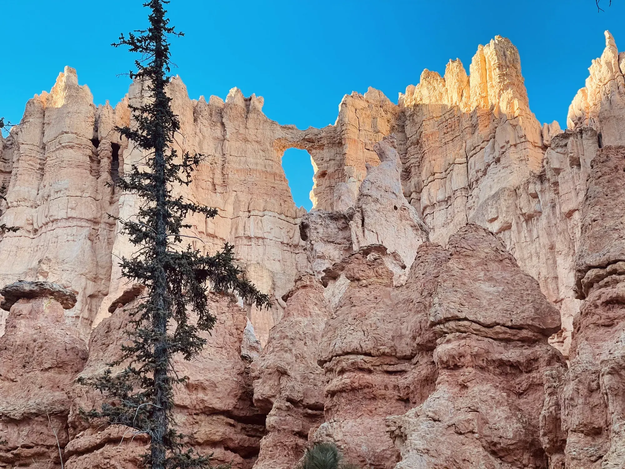
A dark fir stands before pale hoodoos with a small window through the rock in Bryce Canyon National Park
A little window in the hoodoos just beyond the fir tree. · Nov 27, 2020
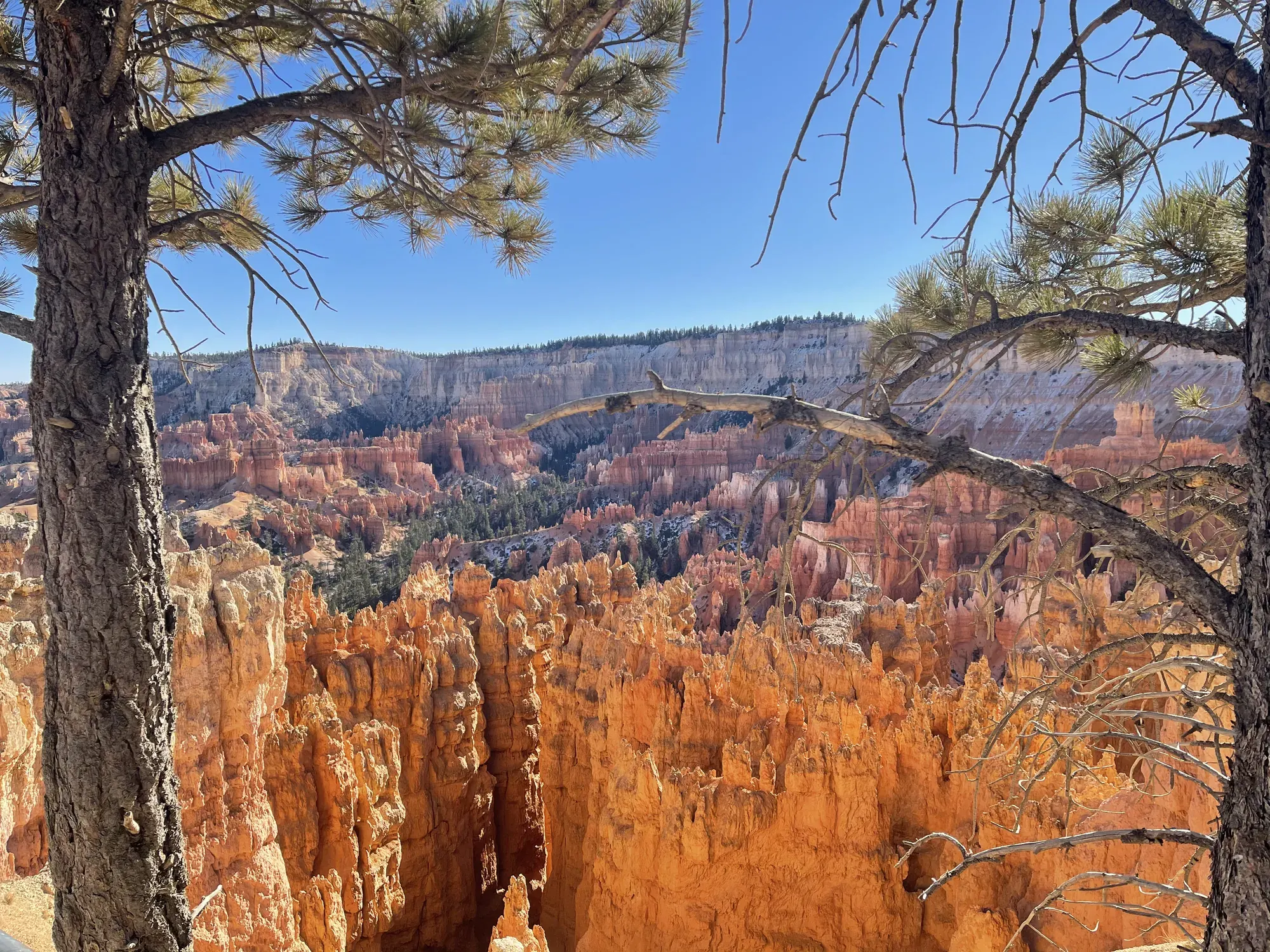
Pine trunks frame a view down into orange hoodoos and forested plateaus in Bryce Canyon National Park
Looking down through the pines into Bryce Amphitheater. · Nov 27, 2020
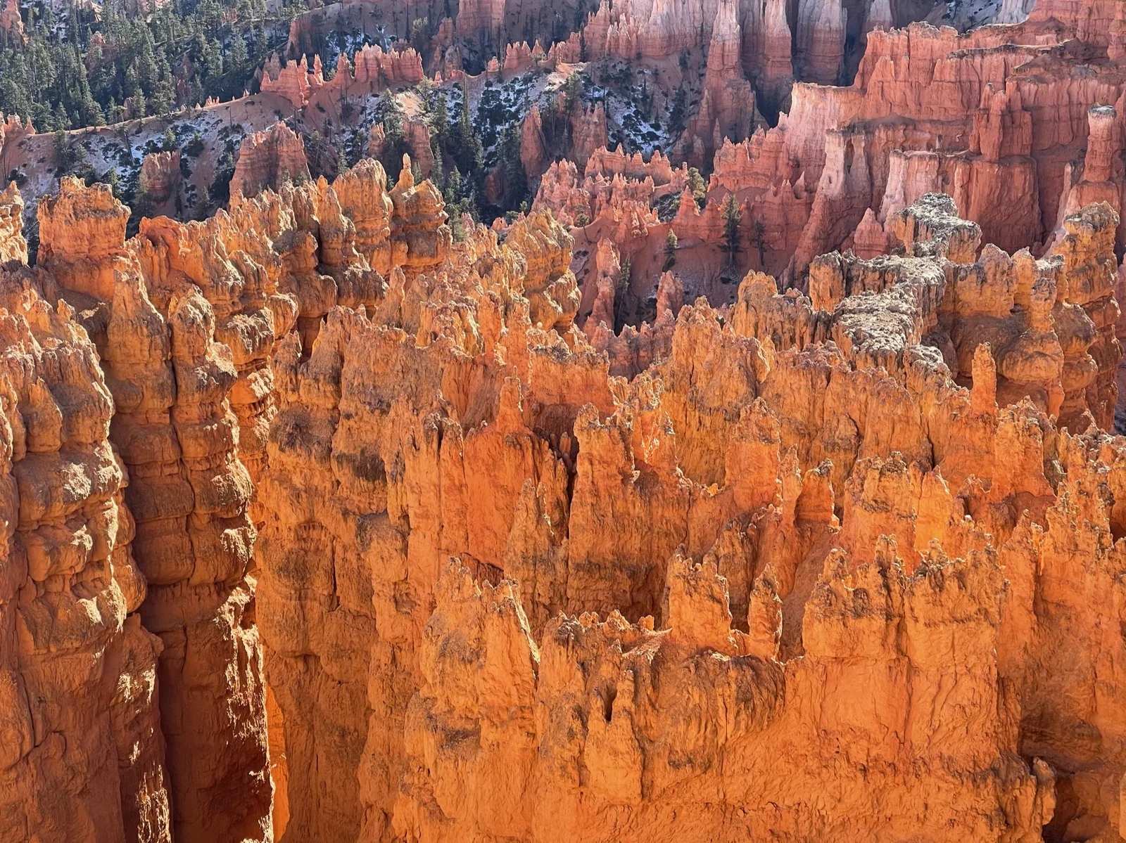
Sunlit orange hoodoos packed tightly together down the amphitheater in Bryce Canyon National Park
A closer look at how tightly those orange hoodoos are packed together. · Nov 27, 2020
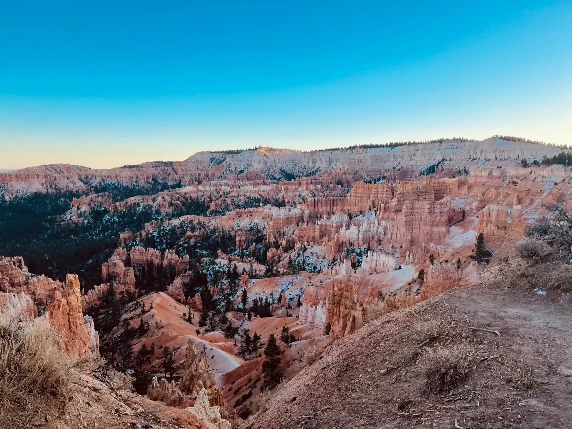
Orange and white hoodoos crowd the amphitheater below the rim in late-afternoon light in Bryce Canyon National Park
Late light across Bryce Amphitheater on our November trip. · Nov 27, 2020

Why it’s on our list

Bryce Canyon is one of the most visually unique national parks in America. Thousands of bright orange hoodoos stretch across the landscape, creating an almost unbelievable scene. Hiking down among these towering formations is even more impressive than viewing them from above.

Our favorite moment

Walking through Wall Street and watching the sunrise over Bryce Amphitheater.

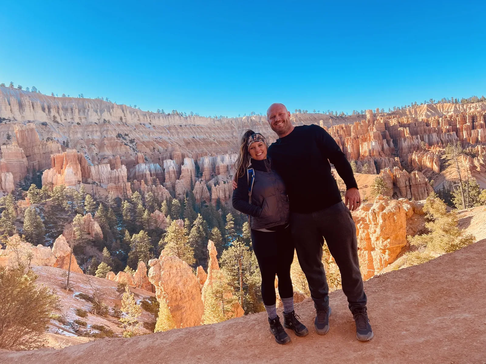
David and Keri at a Bryce overlook in Bryce Canyon
Keri and me on the rim with Bryce Amphitheater behind us. · Nov 27, 2020
See all 39 photos and videos
When we went
November 2020

Photos by David & Keri New.

Firsthand · David & Keri New

What we’d tell a friend about Bryce Canyon

Bryce isn’t really a canyon. It’s a huge amphitheater full of orange and white hoodoos, and you look down into it from the rim. We watched the sunrise over Bryce Amphitheater in November, and we were glad we got up for it.

  • Nov 27, 2020 · Day trip
The view pans from the canyon to orange hoodoos and pines beside a trail
Among the hoodoos · our video
Rows of pink and orange hoodoos fill a wide amphitheater under a clear sky
The amphitheater at first light · our video
See all 39 photos and videos

Our favorite hike

Queen’s Garden and Navajo Combination Loop

The loop drops from Sunrise Point through Queen’s Garden and climbs back up Wall Street to Sunset Point, so you’re down among the hoodoos instead of just looking at them. Wall Street was a favorite part for us.

Our one tip

From November on, bring microspikes, since the switchbacks below the rim can be icy even on a clear day. If Wall Street is closed for the season, go up the Two Bridges side of the Navajo Loop instead.

What we’d do differently

This time we’d drive the full scenic road out to Rainbow Point and stay out after dark for the night sky, which is among the darkest in the parks.

With one more day

The Fairyland Loop. It’s longer and much quieter than the main amphitheater trails.

Was it a good time to go?

The day after Thanksgiving was cold, since the rim sits around 8,000 to 9,000 feet. It was also much quieter than summer, and with the shuttle done for the season we could drive to every viewpoint. We had a clear day, but mornings are well below freezing, so bundle up for sunrise.

In town

Ruby’s Inn in Bryce Canyon City has been the gateway stop since the early 1900s, and Bryce Canyon Pines on Highway 12 is known for its homemade pie. On the way in, take Highway 12 through Red Canyon.

Entry and best time to visit

Entry

No entry reservation required

You still need an entrance pass: $35 per vehicle.

Fees and permits

Best time

June, September

High elevation keeps summer mild but busy with afternoon storms. Snowy hoodoos and solitude in winter. June and September are ideal.

Month by month

Live conditions and planning tools →

Itineraries

How many days in Bryce Canyon?

  • 1 day

    Suggested 1-day route: day 1: Sunrise Point, Queen’s Garden/Navajo Combination Loop, Sunset Point, Inspiration Point, Bryce Point.

    1. Day 1 Sunrise Point → Queen’s Garden/Navajo Combination Loop → Sunset Point → Inspiration Point → Bryce Point
    Full 1-day plan
  • 2 days

    Suggested 2-day route: day 1: Sunrise Point, Queen’s Garden/Navajo Combination Loop, Sunset Point, Inspiration Point, Bryce Point; day 2: Southern Scenic Drive, Rainbow Point, Bristlecone Loop, Natural Bridge.

    1. Day 1 Sunrise Point → Queen’s Garden/Navajo Combination Loop → Sunset Point → Inspiration Point → Bryce Point
    2. Day 2 Southern Scenic Drive → Rainbow Point → Bristlecone Loop → Natural Bridge
    Full 2-day plan
  • 3 daysOur pick

    Suggested 3-day route: day 1: Sunrise Point, Queen’s Garden/Navajo Combination Loop, Sunset Point; day 2: Southern Scenic Drive, Rainbow Point, Bristlecone Loop, Natural Bridge; day 3: Tower Bridge, Inspiration Point, Bryce Point.

    1. Day 1 Sunrise Point → Queen’s Garden/Navajo Combination Loop → Sunset Point
    2. Day 2 Southern Scenic Drive → Rainbow Point → Bristlecone Loop → Natural Bridge
    3. Day 3 Tower Bridge → Inspiration Point → Bryce Point
    Full 3-day plan
  • 5 days

    Suggested 5-day route: day 1: Sunrise Point, Queen’s Garden/Navajo Combination Loop, Sunset Point; day 2: Southern Scenic Drive, Rainbow Point, Bristlecone Loop, Natural Bridge; day 3: Tower Bridge; day 4: Mossy Cave; day 5: Inspiration Point, Bryce Point.

    1. Day 1 Sunrise Point → Queen’s Garden/Navajo Combination Loop → Sunset Point
    2. Day 2 Southern Scenic Drive → Rainbow Point → Bristlecone Loop → Natural Bridge
    3. Day 3 Tower Bridge
    4. Day 4 Mossy Cave
    5. Day 5 Inspiration Point → Bryce Point
    Full 5-day plan

Bryce Canyon itinerary: every day stop by stop, with sources

Compare the 1-, 2-, 3- and 5-day plans, day by day →

Map

Where things are in Bryce Canyon

1 visitor center and 2 campgrounds on a map you can zoom and drag. Map data loads from OpenStreetMap when you tap.

Bryce Canyon’s scenic drive and Highway 12: schematic, not to scale Mossy CaveEntranceVisitor CenterSunrise PointSunset PointInspiration PtBryce PointNatural BridgeRainbow Point
Schematic, not to scale

1 visitor center

Locations from the NPS visitor-center listing, checked Nov 13, 2026. Hours and what each one has

2 campgrounds

Locations from Recreation.gov, checked Nov 7, 2026. Compare the campgrounds

Official NPS maps for Bryce Canyon (opens in a new tab) ↗

Trails

9 hikes, shortest first

  1. Mossy Cave0.8 mi · 150 ft gain · Easy

    0.8 mi

    Details for Mossy Cave

    On Hwy 12, 4 miles east at the north end. Now extremely crowded.

    Out and back · About 30-60 minutes
    Start: Mossy Cave parking area off Highway 12, four miles east at the park’s north end.

    Last verified · nps.gov
  2. Sunset to Sunrise (Rim Trail)1 mi · 40 ft gain · Easy

    1 mi

    Details for Sunset to Sunrise (Rim Trail)

    Paved; pets allowed; the park’s most accessible trail.

    Out and back · About 20-60 minutes
    Start: Sunset Point; park at Sunset Point or use its shuttle stop.

    Last verified · nps.gov
  3. Bristlecone Loop1 mi · 200 ft gain · Easy

    1 mi

    Details for Bristlecone Loop

    Rainbow or Yovimpa Point.

    Loop · About 30-60 minutes
    Start: Rainbow or Yovimpa Point, at the end of the main park road.

    Last verified · nps.gov
  4. Navajo Loop1.3 mi · 515 ft gain · Moderate

    1.3 mi

    Details for Navajo Loop

    From Sunset Point; short but steep (Wall Street, Thor’s Hammer). Not a loop in winter.

    Loop · About 1-2 hours
    Start: Sunset Point; use the Sunset Point parking area or shuttle stop.

    Last verified · nps.gov
  5. Queen’s Garden1.8 mi (not a loop) · 450 ft gain · Moderate

    1.8 mi

    Details for Queen’s Garden

    From Sunrise Point; the least difficult trail into the canyon.

    Out and back · About 1-2 hours
    Start: Sunrise Point; use the Sunrise Point parking area or shuttle stop.

    Last verified · nps.gov
  6. Queen’s Garden/Navajo Combination Loop2.9 mi loop · 625 ft gain · Moderate

    2.9 mi

    Details for Queen’s Garden/Navajo Combination Loop

    Most popular trail; clockwise recommended; use Two Bridges in winter.

    Loop · About 2-3 hours
    Start: Sunrise or Sunset Point; both have parking and shuttle stops.

    Last verified · nps.gov
  7. Tower Bridge3 mi · 760 ft gain · Moderate

    3 mi

    Details for Tower Bridge

    Out and back · About 2-3 hours
    Start: North of Sunrise Point, along the Rim Trail.

    Last verified · nps.gov
  8. Peekaboo Loop5.5 mi · 1,560 ft gain · Strenuous

    5.5 mi

    Details for Peekaboo Loop

    From Bryce Point.

    Lollipop loop · About 3-4 hours
    Start: Bryce Point; park at the trailhead or use the Bryce Point shuttle stop.

    Last verified · nps.gov
  9. Fairyland Loop8 mi · 1,900 ft gain · Strenuous

    8 mi

    Details for Fairyland Loop

    Less crowded.

    Loop · About 4-5 hours
    Start: Fairyland Point parking area or the Rim Trail north of Sunrise Point.

    Last verified · nps.gov

Distances, gains and difficulty as NPS publishes them; the bar shows the published distance, dashed where a longer option exists.

Camping

2 campgrounds in Bryce Canyon

Open in season
2
A night
$30
Sites
199
With hookups
0
  • NorthOpen all year · $30 a night
  • SunsetClosed until Mar 24 · $30 a night

Camping in and near Bryce Canyon: all 2 campgrounds, every site, nearby campgrounds and open sites for your dates

Fees, permits & rules

Bryce Canyon entrance fee: $35 per vehicle, plus permits and when to book

Last verified · nps.gov All Bryce Canyon fees, permits and booking deadlines →

Not a U.S. resident? Each visitor aged 16+ also pays a $100 nonresident fee here, unless your car has an annual pass. Visiting from abroad →

Rules and changes for 2026

  1. Nonresident fee

    Non-US residents aged 16 and older pay a $100 nonresident fee on top of the standard entrance fee unless admitted with an Annual or America the Beautiful pass.

    Last verified · Fees & Passes - Bryce Canyon (NPS)
  2. Oversize parking limits in shuttle season

    Vehicles 23 ft and longer may not park at the Visitor Center, Sunrise, Sunset, Inspiration and Bryce points or Bryce Lodge (unless staying there) while shuttles run. Paria View is always restricted.

    Last verified · Oversized Vehicle Restrictions (NPS)
  3. No Rainbow Bus Tour

    The three-hour Rainbow Bus Tour, once used by hikers to reach Rainbow Point, has been discontinued. NPS lists approved commercial tours as the alternative.

    Last verified · Backcountry Information (NPS)
1 more rule
  1. Shuttle season (2026 ended; 2027 not announced)

    In 2026 the free park shuttle ran Apr 3-Oct 18: 8 am-6 pm through May 8, 8 am-8 pm May 9-Sep 20, 8 am-6 pm Sep 21-Oct 18. That season has ended. 2027 shuttle dates not announced yet (NPS, checked Nov 2026).

    Last verified · Park Shuttle - Bryce Canyon (NPS)

Crowds by month

Historical recreation visits · 2021–2025 · as of Nov 3, 2026. Visits count entries, not unique people, parking spaces or trail crowding.

Average monthly recreation visits, 2021–2025
Jan34,058
Feb37,599
Mar97,703
Apr215,140
May297,892
Jun330,635
Jul300,193
Aug268,214
Sep324,593
Oct235,422
Nov80,315
Dec55,431

Busiest by average count: Jun. Quietest: Jan. Each bar is that month’s average visits across 5 years; unusual years and reported zeros are included. Past visits can’t tell you the best time of day to arrive.

Every month’s visits and NOAA weather, with the counts for each year →

NPS Visitor Use Statistics: monthly report · NPS monthly data · checked Nov 3, 2026; latest included year 2025.

How this page is made. The section “What we’d tell a friend” is ours. Our recorded visits to Bryce Canyon include November 2020.Planning information, including any fees, permits, closures, weather and crowd figures shown here, is compiled from the National Park Service, Recreation.gov and other public sources, and each fact shows the date we last checked it. If something is wrong, tell us and we’ll log the fix on our corrections page.

Sources & corrections

The core guide research was last verified Nov 20, 2026 against the linked National Park Service and Recreation.gov pages. Live conditions and separately sourced facts show their own dates. Park rules change; confirm before you go.

Report a correction · Corrections log

Photos: David & Keri New.

Where sources disagree (2)
  • The Queen’s Garden/Navajo difficulty rating uses NPS’s own categories. Moderate means less than 1,000 ft of climbing.
  • Older accessibility guidance ends the Shared Use Path at Inspiration Point; the completed extension reaches Bryce Point. We follow the October 2026 NPS completion announcement.