Eroded pale spires and ridges under a blue sky in Badlands National Park

South Dakota

Badlands National Park Guide

Eroded buttes, pinnacles and spires rise out of mixed-grass prairie 75 miles east of Rapid City. Bison, bighorn sheep and prairie dogs live here, there’s a working fossil lab, and the night skies are dark. The park is open 24 hours a day, year-round, and you can hike off-trail anywhere.

By David & Keri New, who have visited 63 of the 64 U.S. national parksUpdated

Park 50 of our 63Visited Sep 2022

Your trip planner

Add Badlands to a trip

Choose a saved trip or start a new draft for this park.

Saves this park and its trail guides on this device. Alerts and conditions are as of when you save; live maps and bookings need a connection.

Photo: David & Keri New

NPS alertsAs of 6:03 AM ET, Nov 20

Navigation

Plan your first trip to Badlands

2 days is our starting point.

Use one day for the Badlands Loop Road overlooks and short boardwalks. Add Sage Creek Rim Road as a separate trip only when the gravel road is open and suitable for your vehicle.

Open the 2-day itinerarySage Creek Rim Road guidance

Before choosing 3 days · Weather can change fast, so pack rain gear, a hat and sturdy shoes. NPS suggests two quarts of water per person for every two hours of hiking. Keep at least 100 feet from wildlife on the trail.

Starts a new draft and keeps your saved trips. Set a custom duration in the full planner.

How many days?

1 day
  1. Badlands Loop Road · boardwalks and overlooks

With a few hours, take I-90 exit 131 to the Northeast Entrance and walk the Door and Window trails, about 20 minutes round trip each. Then drive the paved Loop Road west toward Wall. Notch Trail is closed for ladder repairs.

NPS directionsNational Park Service guidanceNational Park Service guidanceOpen the 1-day itinerary

Open this day plan
2 days · our pick
  1. Badlands Loop Road · boardwalks and overlooks
  2. Sage Creek Rim Road · prairie and wildlife
Open this day plan
3 days · conditional
  1. Badlands Loop Road · boardwalks and overlooks
  2. Sage Creek Rim Road · prairie and wildlife
  3. Castle Trail and short walks near the visitor center
Open this day plan
Compare all trip lengths
Optional add-on

Add the Cliff Shelf Nature Trail, a 0.86-mile loop of boardwalks, stairs and paths that climbs about 200 feet through junipers on the Badlands Wall. NPS allows about 30 minutes, and the area is popular for birdwatching.

National Park Service guidance

If plans change

If Sage Creek Rim Road is unsuitable, stay on the paved loop when open. Try Panorama Point and an open short boardwalk in the Door and Window area, or keep to drive-up overlooks if the trails are icy.

Open the 1-day itineraryNPS park conditionsBadlands trail map

Check what’s open

Where to base yourself

Wall for the west or Interior for Cedar Pass

Choose Wall for a start near the Pinnacles Entrance or Interior for the Cedar Pass side. Compare Cedar Pass Lodge or a campground if you want to stay inside the park.

Lodging and gateway townsGetting to the park

Compare stays and access

Before you book

Confirm your room or campsite and which entrance you plan to use. Check the paved Badlands Loop Road and gravel Sage Creek Rim Road separately after snow or rain.

Lodging and gateway townsNPS park conditionsSage Creek Rim Road guidance

Getting there and getting around

Badlands is 75 miles east of Rapid City. From I-90, take exit 131 to the Northeast Entrance or exit 110 at Wall to the Pinnacles Entrance. SD 44 and SD 377 lead to the Interior Entrance.

NPS directions

Our visit

Park 50 of our 63

Where Badlands ranks in our 63

September 2022

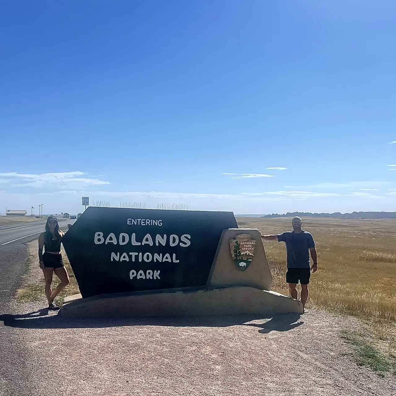
David and Keri at the Badlands entrance sign
We were hereSep 29, 2022
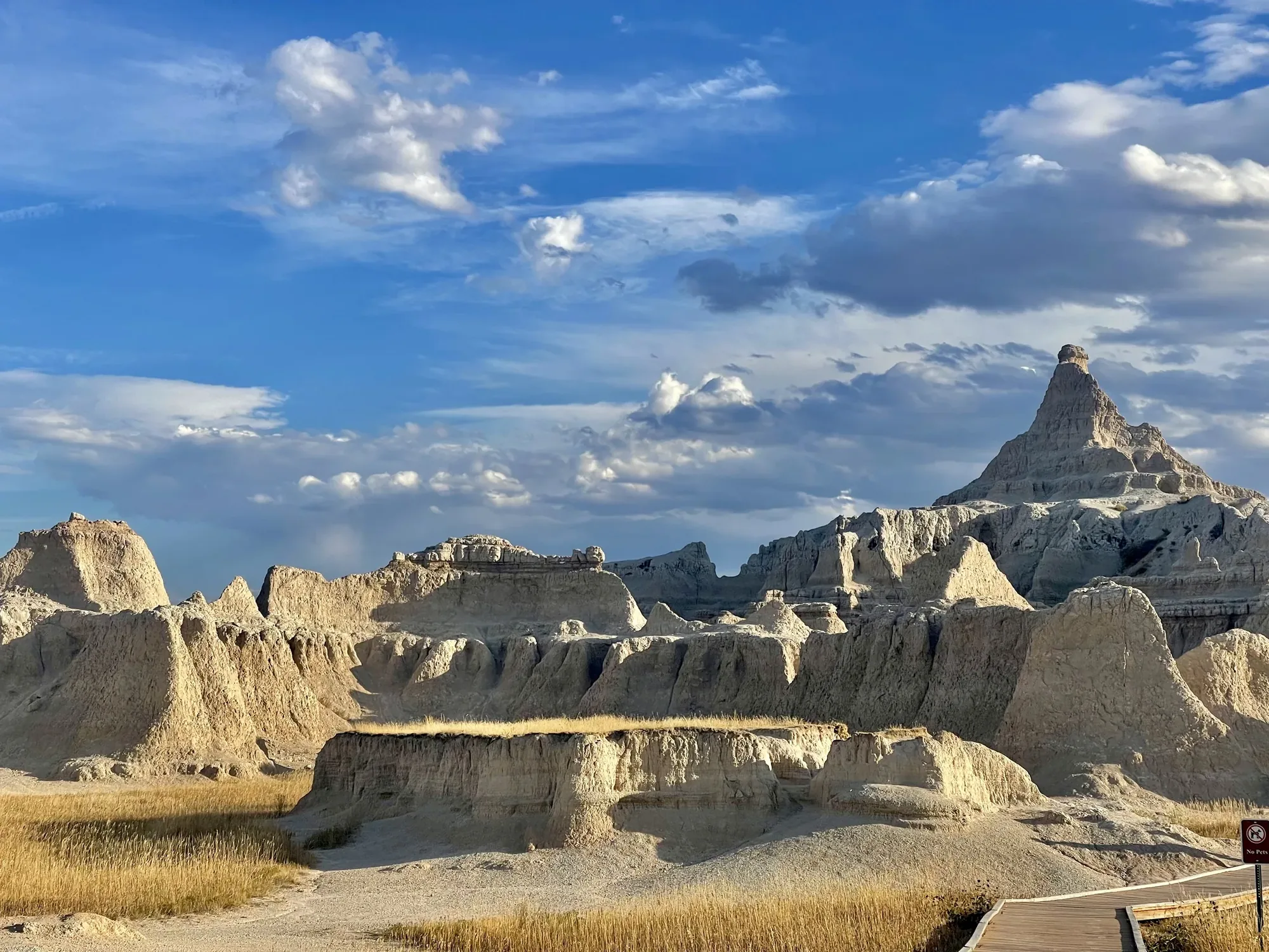
Banded badlands buttes and a pointed peak rise above dry grass and a boardwalk under a cloudy late-day sky
Late light on the striped buttes, with the boardwalk right at their edge. · Sep 29, 2022
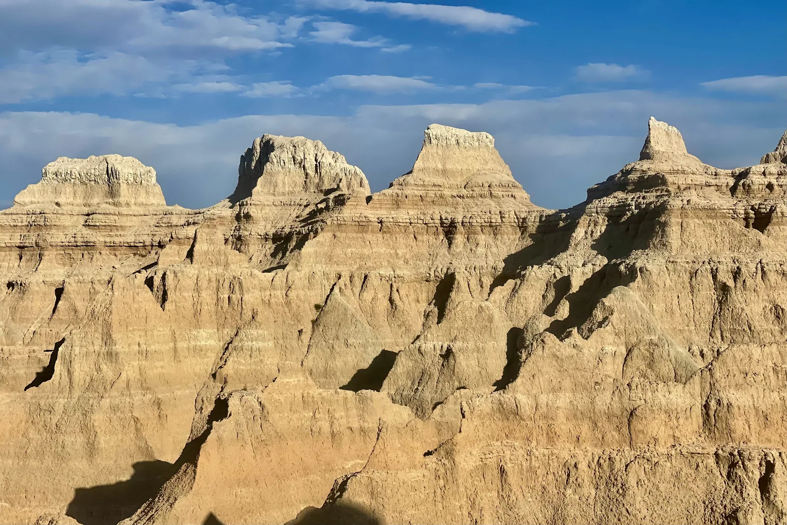
Layered pale buttes rise in close detail in Badlands National Park
Up close, you can see the thin bands running across the buttes. · Sep 29, 2022
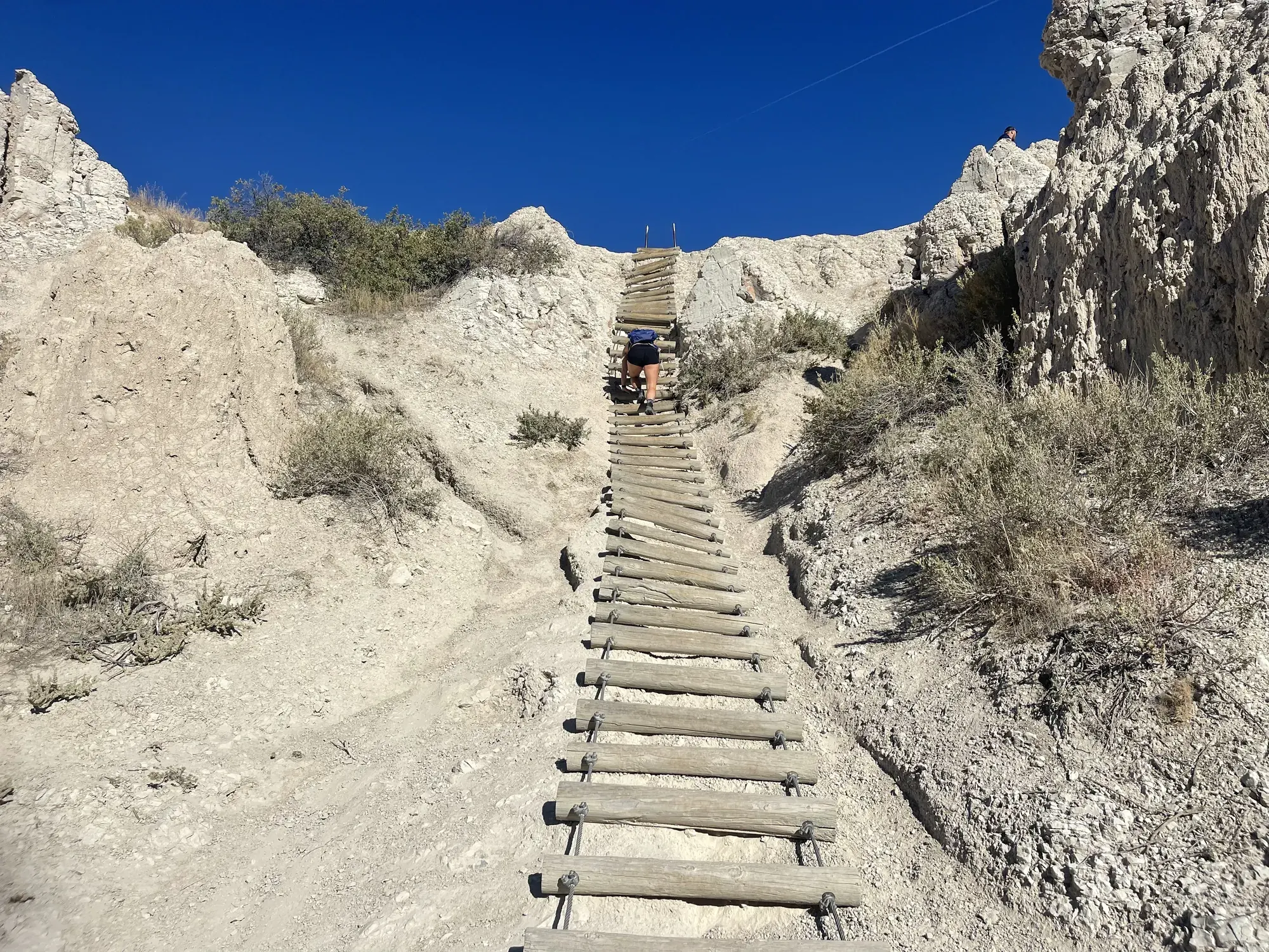
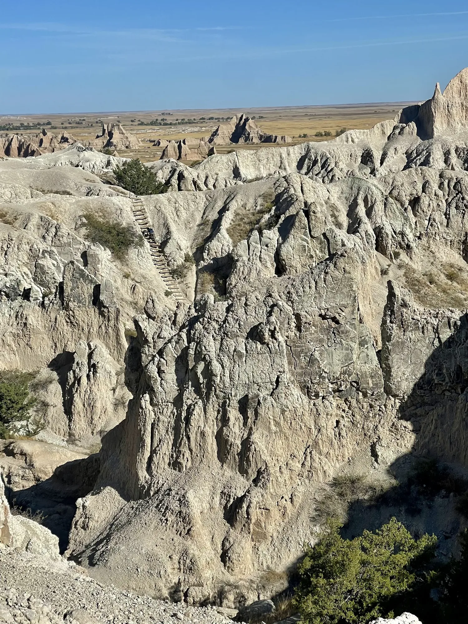
A wooden log ladder climbing a pale eroded gully in Badlands National Park
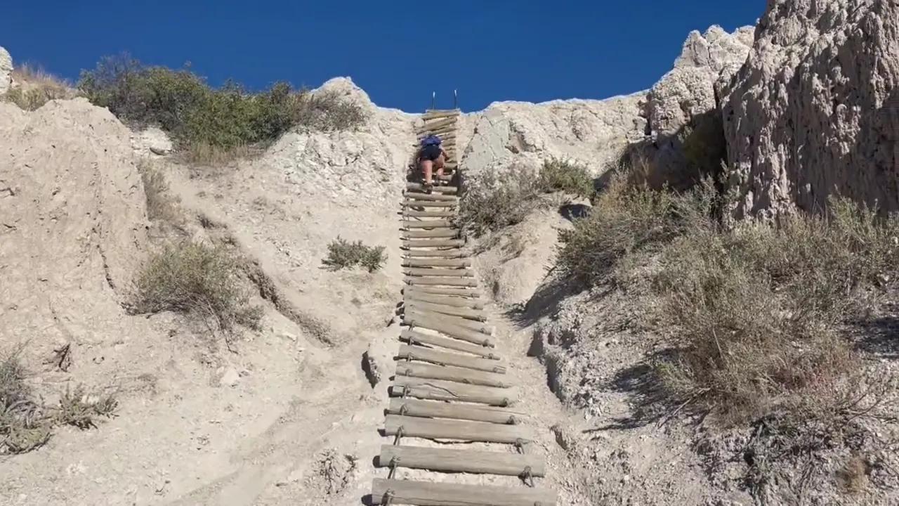
Looking up the log ladder on the Notch Trail. This was our favorite part of the park. · Sep 30, 2022
View down the log ladder to the pale rock walls and gullies on the Notch Trail in Badlands National Park
The view looking back down the Notch Trail ladder. · Sep 30, 2022
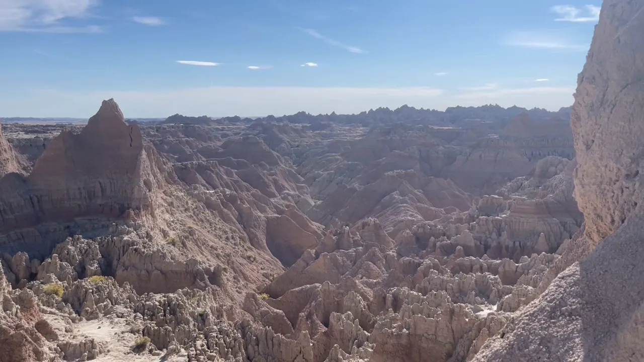
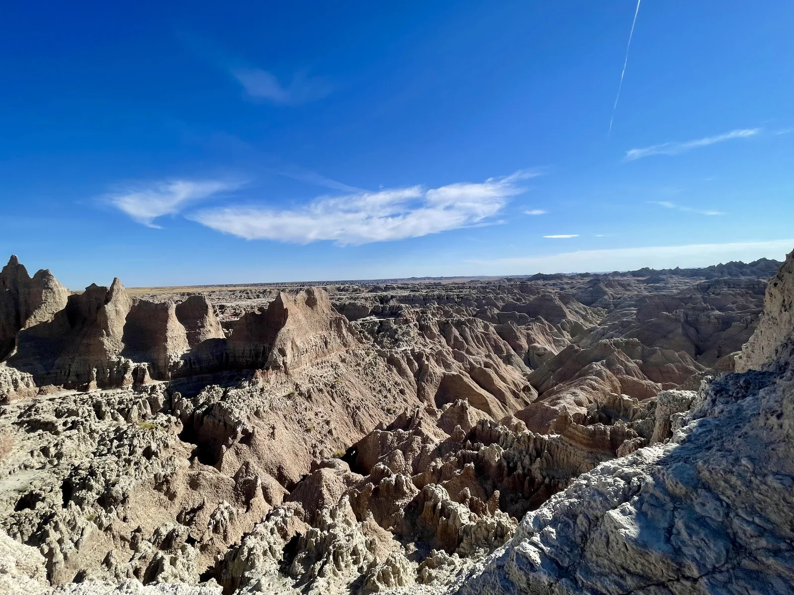
Eroded spires and pale ridges stretch to the horizon under a blue sky in Badlands National Park
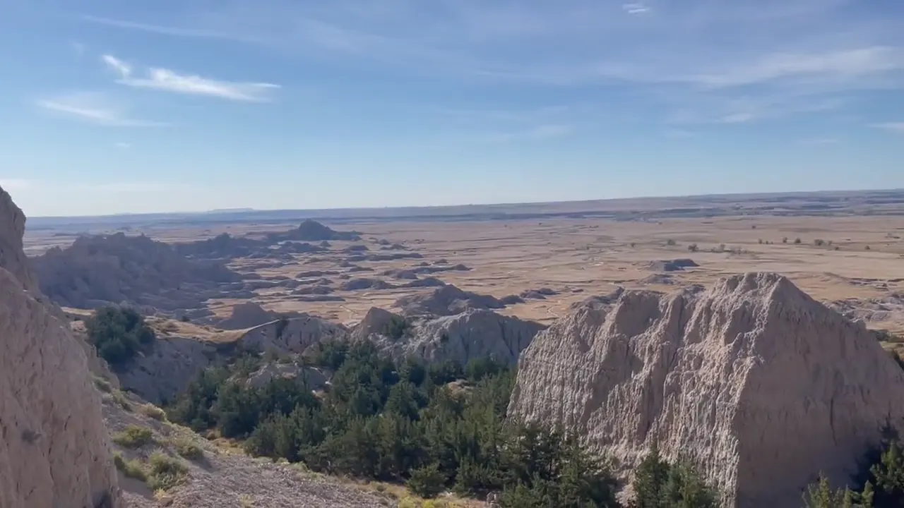
Looking out over ridges that seem to carry on forever. · Sep 30, 2022
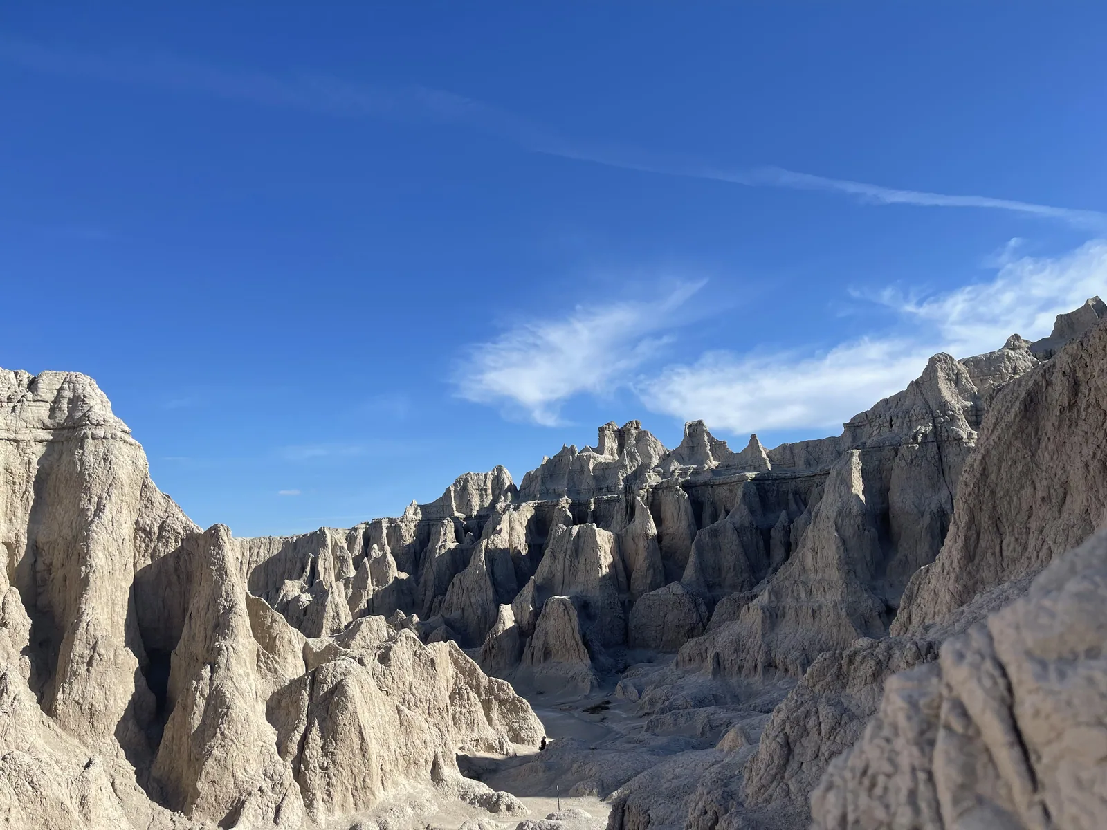
Pale spires and ridges fill a wide badlands canyon
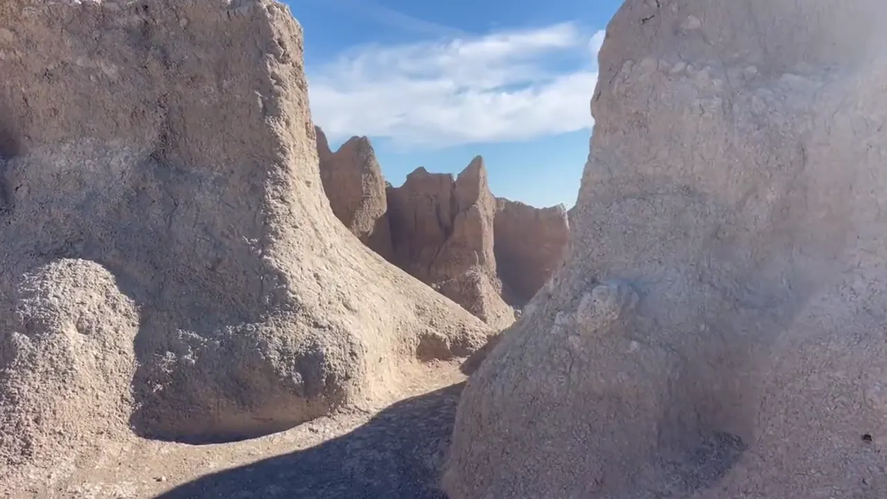
Looking up at rows of pale spires against a deep blue sky. · Sep 30, 2022

Why it’s on our list

Badlands is filled with bizarre rock formations, colorful geological layers, and rugged landscapes that look almost otherworldly. The scenic drives and opportunities to see bison, bighorn sheep, and prairie dogs make it a memorable experience. Although the scenery is impressive, much of the park begins to look similar after exploring its major overlooks.

Our favorite moment

Climbing the log ladder on Notch Trail, encountering bison along the Badlands Loop Road, and watching the sunset over the eroded landscape.

A jagged badlands spire stands above a maze of eroded ridges
One jagged spire stands above the maze of ridges. · Sep 30, 2022
See all 19 photos and videos
When we went
September 2022

Photos by David & Keri New.

Firsthand · David & Keri New

What we’d tell a friend about Badlands

The Badlands look like another planet coming up out of the prairie. Pale, layered spires and ridges run all the way to the horizon. You can see a lot from the Loop Road, but get out of the car and climb around, because the Notch Trail ladder was our favorite part. Yes, we climbed the log ladder on the Notch Trail. The terrain was really, really unique — climbing in and out of those rock formations.

  • Sep 29, 2022 · Camped
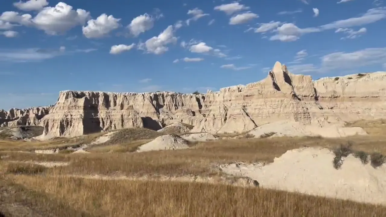
Striped, eroded badlands peaks and gullies under a blue sky
Badlands formations · our video
A hiker climbs the log ladder up a pale badlands wall on the Notch Trail
The Notch Trail ladder · our video
Pale banded spires and ridges spread out under a blue sky
Badlands from the trail · our video
The view pans past pale spires to a wide maze of eroded badlands
Badlands spires · our video
See all 19 photos and videos

Our favorite hike

Notch Trail

Yes, we climbed the log ladder on the Notch Trail. Short, but you climb a wooden log ladder up a gully and then follow a ledge to a window that looks out over the White River Valley. The terrain was really, really unique. We had more fun on this trail than on any other in the park.
Our one tip

Take Sage Creek Rim Road out to Roberts Prairie Dog Town, where you can watch the prairie dogs in daylight. Bring binoculars and keep your distance.

With one more day

More time would go to the quieter west side along Sage Creek Rim Road, looking for bison and bighorn sheep.

Was it a good time to go?

The end of September worked out well for us. The heat and the summer crowds were gone, and we had bright sun and blue skies on the trails. It still warms up at midday and there’s no shade, so carry plenty of water.

In town

Wall Drug in Wall, SD is the classic roadside stop, just north of the park. If you’re coming along I-90, Minuteman Missile National Historic Site is on the way.

Where we stayed

Camped

Sep 29, 2022 · Camped

Camping was awesome. The weather was great, and we have some photos of the campground as well as us climbing up the ladder.

Entry and best time to visit

Entry

No entry reservation required

You still need an entrance pass: $30 per vehicle, good for 7 days.

Fees and permits

Best time

September

Winter cold but open. Spring wet with bison calves. June-August green to hot, stormy, busiest. September is best, May, June, October good.

Month by month

Live conditions and planning tools →

Itineraries

How many days in Badlands?

  • 1 day

    1. Day 1 Badlands Loop Road · boardwalks and overlooks
    Full 1-day plan
  • 2 days · Add Sage CreekOur pick

    1. Day 1 Badlands Loop Road · boardwalks and overlooks
    2. Day 2 Sage Creek Rim Road · prairie and wildlife
    Full 2-day plan
  • Optional day 3 · Castle Trail

    1. Day 3 Castle Trail and short walks near the visitor center
    Optional day 3 plan

Badlands itinerary: every day stop by stop, with sources

Compare the 1- and 2-day plans, day by day →

Map

Where things are in Badlands

2 visitor centers and 1 of the 2 campgrounds on a map you can zoom and drag. Map data loads from OpenStreetMap when you tap.

Badlands’ Loop Road and Sage Creek Rim Road: schematic, not to scale WallExit 131PinnaclesPrairie DogsSage CreekYellow MoundsBen Reifel VCInteriorScenicSheep MtnWhite River VCDoor TrailBig BadlandsNortheast
Unpaved Schematic, not to scale

2 visitor centers

Locations from the NPS visitor-center listing, checked Nov 13, 2026. Hours and what each one has

1 of 2 campgrounds mapped

Locations from Recreation.gov, checked Nov 7, 2026. Not on this map: Sage Creek (no Recreation.gov location in our data). Compare all 2 campgrounds

Official NPS maps for Badlands (opens in a new tab) ↗

Trails

9 hikes, shortest first

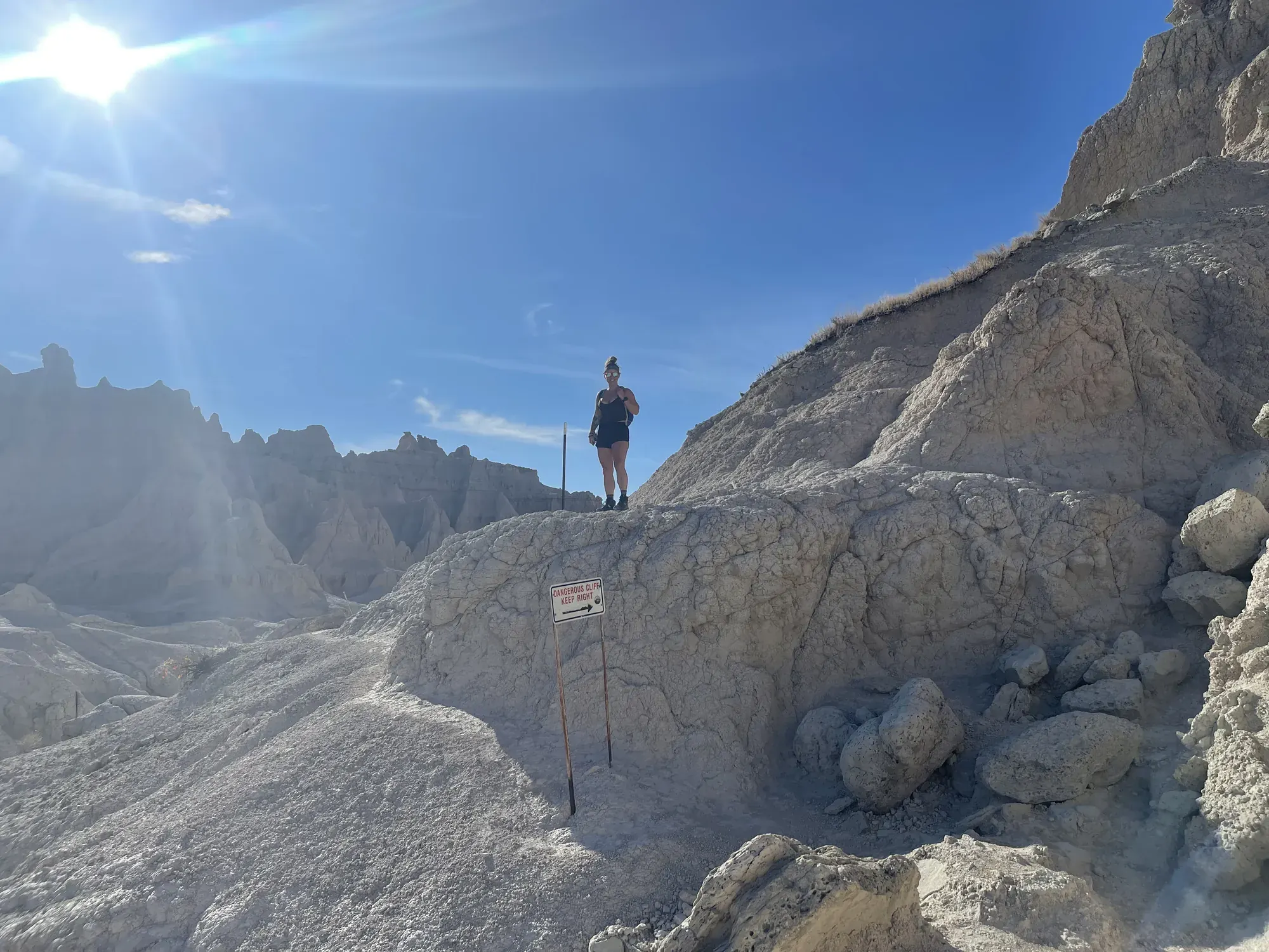
A hiker standing on a pale eroded ridge in bright sun in Badlands National Park
A hiker standing on a pale eroded ridge in bright sun · Sep 2022
  1. Window Trail0.25 mi round trip · Not listed gain · Easy

    0.25 mi

    Details for Window Trail

    Boardwalk to a natural window in the Wall.

    Out and back · About 20 minutes
    Start: Door and Window parking area

    Last verified · nps.gov
  2. Saddle Pass0.25 mi round trip · Not listed gain · Strenuous

    0.25 mi

    Details for Saddle Pass

    A short, steep climb up the Wall to the Castle and Medicine Root trails.

    Out and back · About 40 minutes
    Start: Saddle Pass Trailhead.

    Last verified · nps.gov
  3. Fossil Exhibit Trail0.25 mi round trip · Level boardwalk gain · Easy

    0.25 mi

    Details for Fossil Exhibit Trail

    Fully accessible, with fossil replicas. About 5 mi from Ben Reifel Visitor Center on the Loop Road.

    Loop · About 20 minutes
    Start: Fossil Exhibit Trailhead.

    Last verified · nps.gov
  4. Cliff Shelf Nature Trail0.5 mi loop · About 200 ft gain · Moderate

    0.5 mi

    Details for Cliff Shelf Nature Trail

    Boardwalks and stairs through a juniper forest. The first section is accessible.

    Loop · About 30 minutes
    Start: Cliff Shelf Trailhead.

    Last verified · nps.gov
  5. Door Trail0.75 mi round trip · Not listed gain · Easy

    0.75 mi

    Details for Door Trail

    An accessible 1/4-mile boardwalk through a break in the Badlands Wall. Past the boardwalk, you hike at your own risk, and there are drop-offs.

    Out and back · About 20 minutes (boardwalk portion only)
    Start: Door and Window parking area

    Last verified · nps.gov
  6. Notch Trail1.5 mi round trip · Not listed gain · Moderate to strenuous

    1.5 mi

    Details for Notch Trail

    Climbs a log ladder and follows a ledge to a view of the White River Valley. Not for anyone afraid of heights, and treacherous during or after heavy rain.

    Out and back · About 1.5-2 hours
    Start: South end of the Door and Window parking area.

    Last verified · nps.gov
  7. Sheep Mountain Table road walk2.5 mi one way from the overlook to the road’s end · Not listed gain · Not rated

    2.5 mi

    Details for Sheep Mountain Table road walk

    Walk the 4WD-only stretch of road past the overlook.

    Out and back
    Start: Park at the table overlook, reached by Sheep Mountain Table Road from SD 27.

    Last verified · nps.gov
  8. Medicine Root Loop4 mi round trip · Rolling gain · Moderate

    4 mi

    Details for Medicine Root Loop

    Mixed-grass prairie with badlands views. Watch for cactus.

    Loop · About 2 hours
    Start: Pull-off along Old Northeast Road; also reached from Castle or Saddle Pass trails

    Last verified · nps.gov
  9. Castle Trail10 mi round trip · Relatively level gain · Moderate

    10 mi

    Details for Castle Trail

    The park’s longest trail, running 5 mi one way from the Door/Window lot to Fossil Exhibit Trail.

    Out and back · About 5 hours
    Start: Door and Window parking area; opposite end at Fossil Exhibit Trail

    Last verified · nps.gov

Distances, gains and difficulty as NPS publishes them; the bar shows the published distance, dashed where a longer option exists.

Camping

2 campgrounds in Badlands

Open in season
2
A night
$0–$47
Sites
118
With hookups
1
  • Cedar PassClosed until Apr 1 · $37–$47 a night
  • Sage CreekSee dates · Free · rigs to 18 ft

Camping in and near Badlands: all 2 campgrounds, every site, nearby campgrounds and open sites for your dates

Fees, permits & rules

Badlands entrance fee: $30 per vehicle, plus permits and when to book

Last verified · nps.gov All Badlands fees, permits and booking deadlines →

Rules and changes for 2026

  1. Cashless entry

    No cash is accepted; entrance stations (Northeast, Pinnacles, Interior) take credit or debit cards only. Private-vehicle, motorcycle and per-person 7-day passes can also be bought ahead on Recreation.gov; those are non-refundable and non-transferable. Commercial passes are sold only at the entrance stations.

    Last verified · Fees & Passes (NPS)
  2. Open Hike Policy

    You can hike and camp off-trail. Backcountry campsites must be at least 0.5 mi from any road or trail and out of sight. No backcountry permit is currently required, but sign a backcountry register. Carry at least 1 gallon of water per person per day; backcountry water is too silty to drink or filter. Pack out all trash. Backcountry camping is not allowed in the South Unit.

    Last verified · Backcountry camping (NPS)
  3. No campfires anywhere

    Campfires are not allowed under any circumstances, and wood collecting is banned, in both campgrounds and the backcountry. Camp stoves and contained charcoal grills are OK in campgrounds and picnic areas; let charcoal cool before throwing it out. Use a backpacking stove in the backcountry.

    Last verified · Campgrounds (NPS)
3 more rules and changes
  1. Don’t trust GPS

    The NPS warns that GPS navigation is unreliable here. Ben Reifel Visitor Center is at 25216 Ben Reifel Road, Interior, just off I-90.

    Last verified · NPS alert / directions
  2. Badlands AstroFest

    In 2026 the festival ran July 17-19, with free events (no tickets or registration) at Ben Reifel Visitor Center and the Cedar Pass Campground Amphitheater. 2027 dates not announced yet (NPS, checked Nov 2026).

    Last verified · Badlands Astronomy Festival (NPS)
  3. Wildlife distance

    Park regulations require staying at least 100 ft from wildlife, especially bison, which can run faster than 30 mph.

    Last verified · Safety (NPS)

Crowds by month

Historical recreation visits · 2021–2025 · as of Nov 3, 2026. Visits count entries, not unique people, parking spaces or trail crowding.

Average monthly recreation visits, 2021–2025
Jan11,401
Feb11,230
Mar25,661
Apr38,395
May108,524
Jun219,991
Jul245,621
Aug207,686
Sep137,202
Oct65,693
Nov20,259
Dec10,544

Busiest by average count: Jul. Quietest: Dec. Each bar is that month’s average visits across 5 years; unusual years and reported zeros are included. Past visits can’t tell you the best time of day to arrive.

Every month’s visits and NOAA weather, with the counts for each year →

NPS Visitor Use Statistics: monthly report · NPS monthly data · checked Nov 3, 2026; latest included year 2025.

How this page is made. The section “What we’d tell a friend” is ours. Our recorded visits to Badlands include September 2022.Planning information, including any fees, permits, closures, weather and crowd figures shown here, is compiled from the National Park Service, Recreation.gov and other public sources, and each fact shows the date we last checked it. If something is wrong, tell us and we’ll log the fix on our corrections page.